Elevation of Yifag, Ethiopia
Location: Ethiopia > Amhara > South Gonder >
Longitude: 37.723881
Latitude: 12.0798
Elevation: 1882m / 6175feet
Barometric Pressure: 81KPa
Elevation Map:
Satellite Map:
Related Photos:
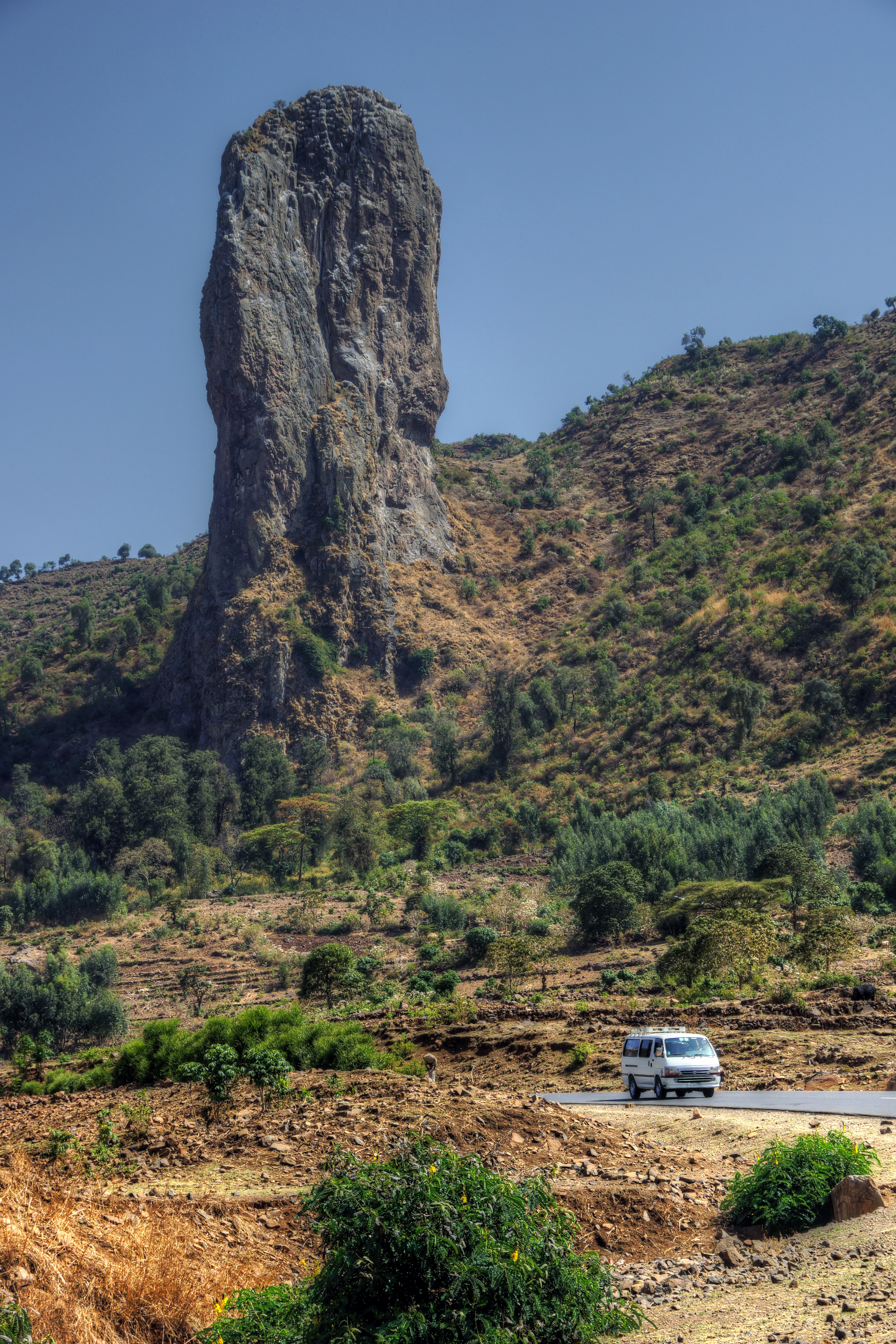
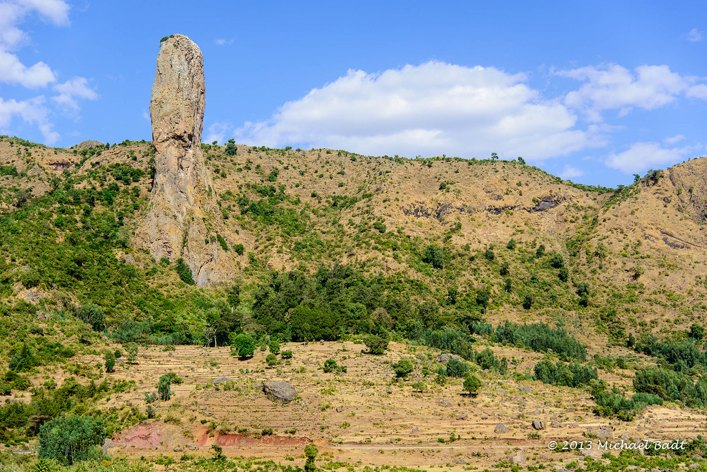
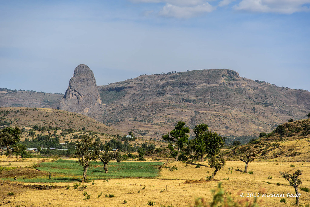
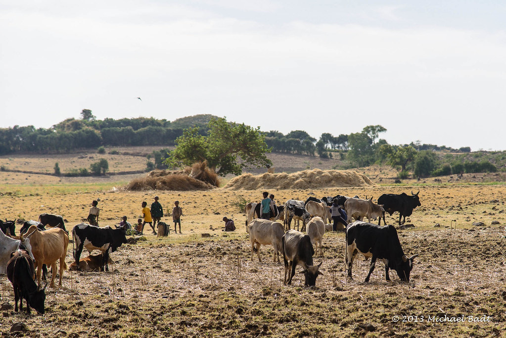
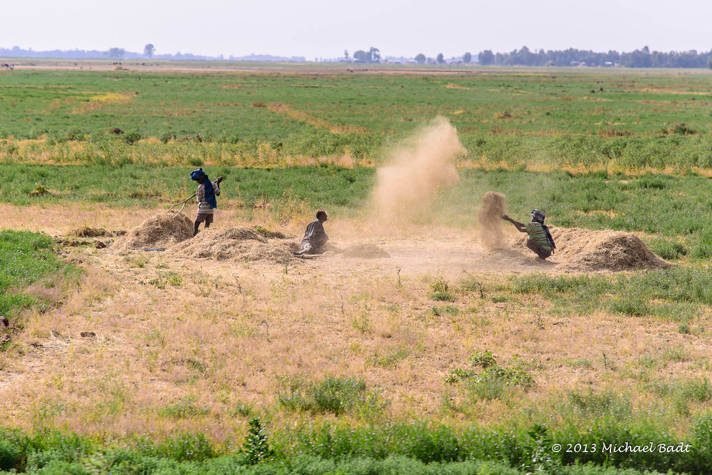
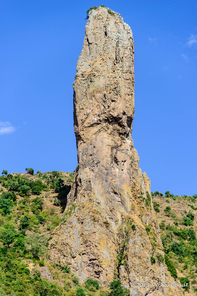
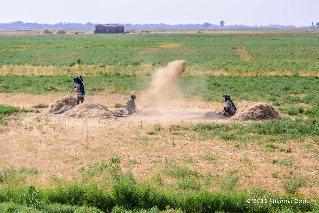
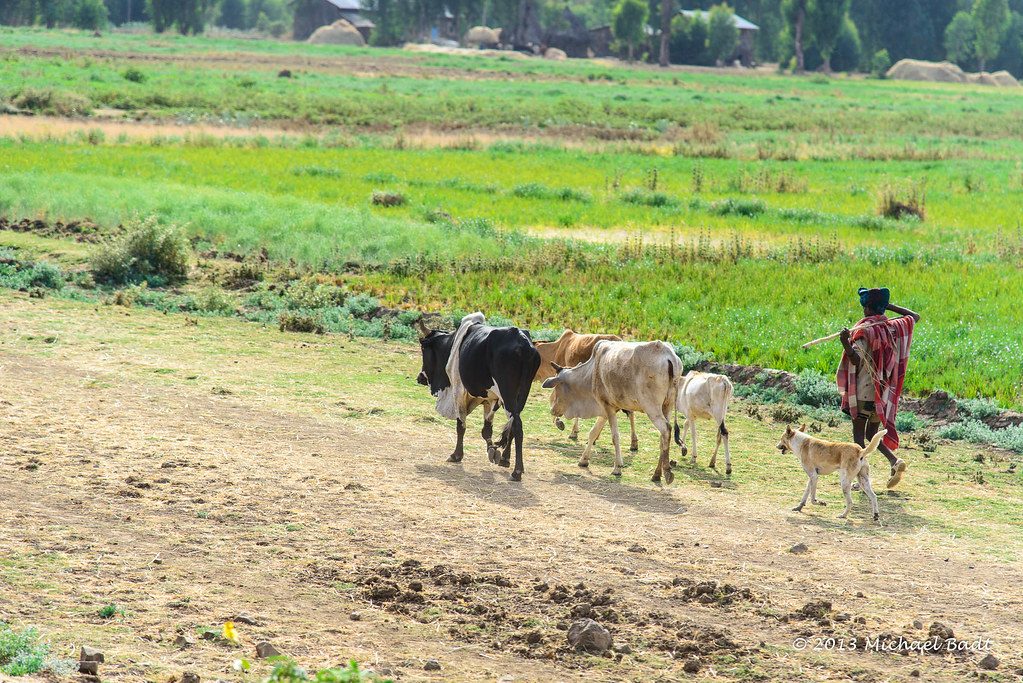
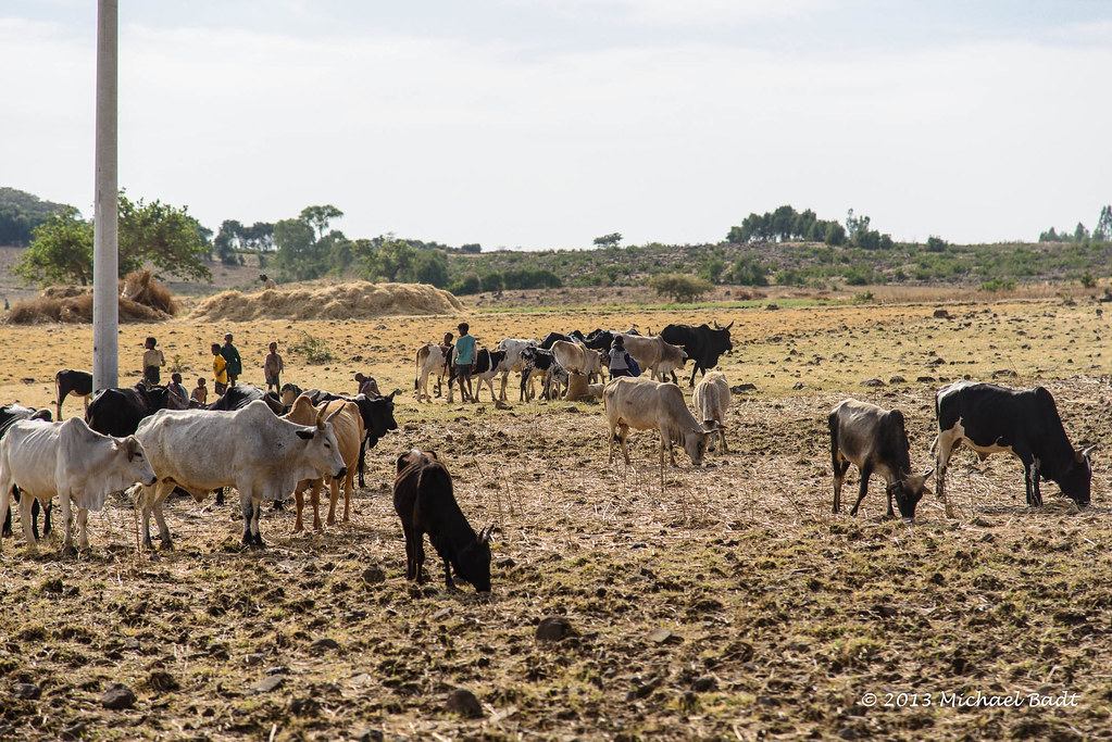
ethiopian landscape
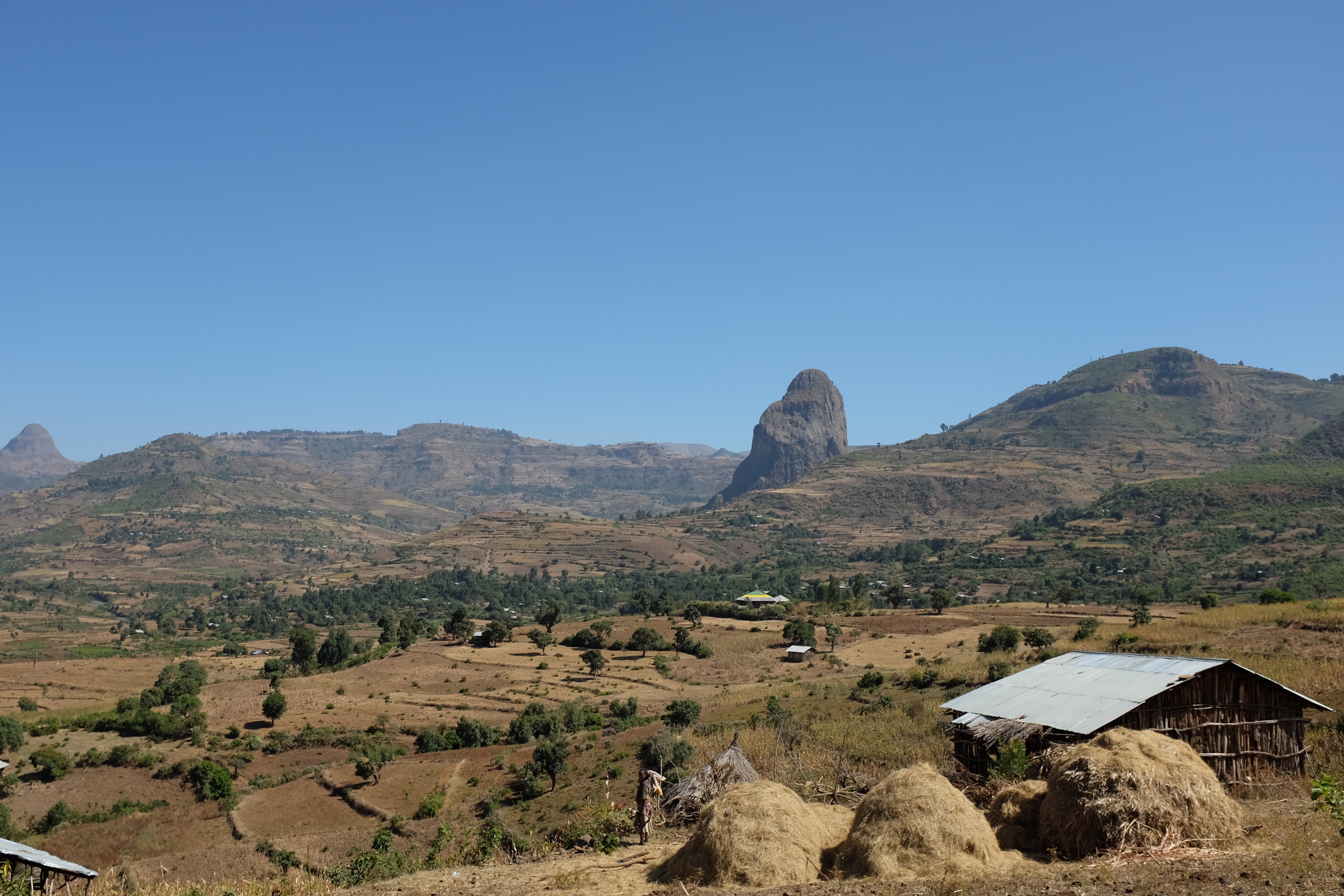
Landscape along Highway 3
ETP-4942-20130123.jpg
ETP-5002-20130123.jpg
ETP-4921-20130123.jpg
ETP-5003-20130123.jpg
ETP-4930-20130123.jpg
ETP-4998-20130123.jpg

ETP-4997-20130123.jpg
ETP-4948-20130123.jpg
ETP-4947-20130123.jpg
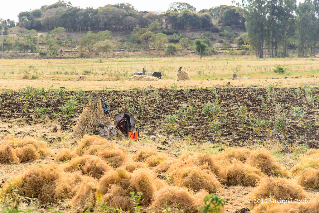
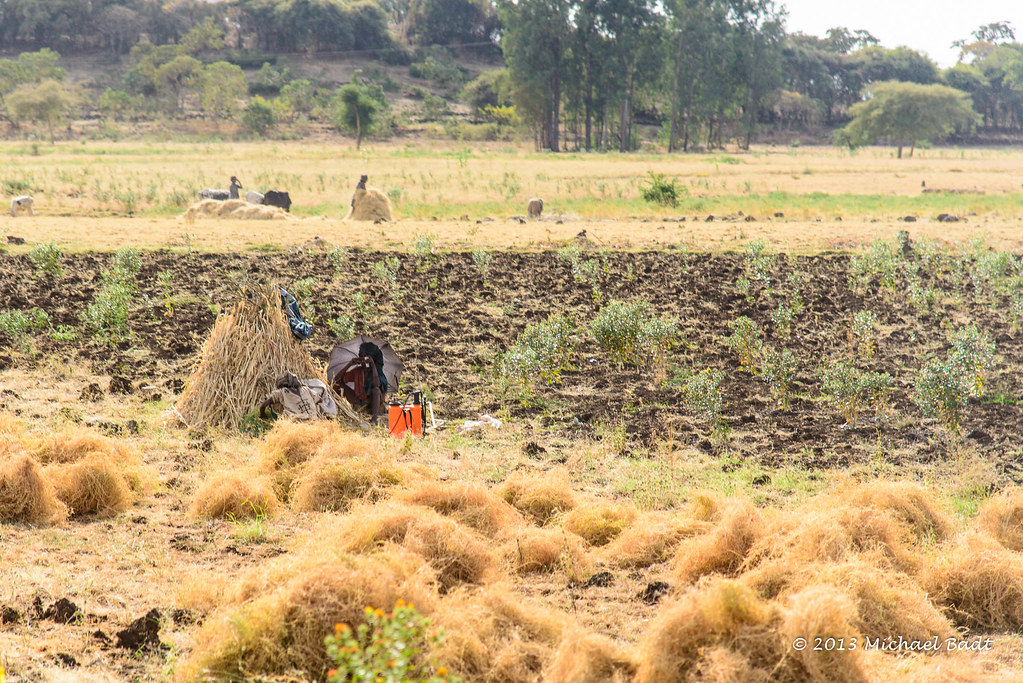
A Stop Along the Road (Gondar)

ETP-5005-20130123.jpg
ETP-4965-20130123.jpg
ETP-5016-20130123.jpg
ETP-4943-20130123.jpg
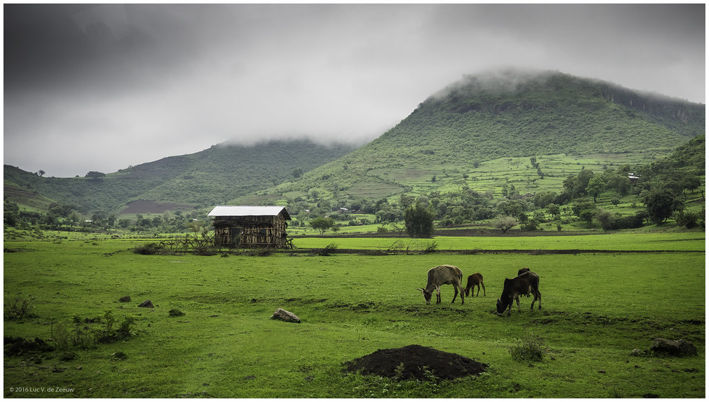
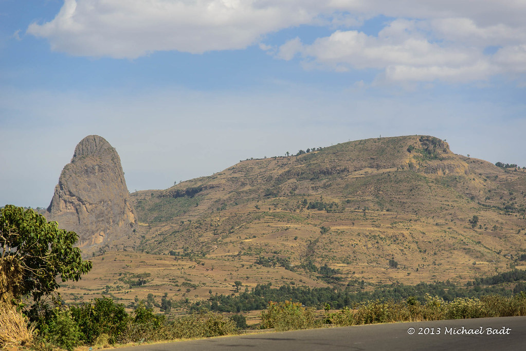
Ethiopian Landscape III
ETP-5015-20130123.jpg

ETP-4945-20130123.jpg
ETP-5013-20130123.jpg
ETP-4999-20130123.jpg
Topographic Map of Yifag, Ethiopia
Find elevation by address:

Places near Yifag, Ethiopia:
Addis Zemen
Wereta
Fogera
Hamusit
Anbesame
Lake Tana
Gondar City Hall
Gondar
Fasilides' Bath
Kusquam
Bahir Dar
Dechu Mara
North Gondar
Recent Searches:
- Elevation of Beall Road, Beall Rd, Florida, USA
- Elevation of Leguwa, Nepal
- Elevation of County Rd, Enterprise, AL, USA
- Elevation of Kolchuginsky District, Vladimir Oblast, Russia
- Elevation of Shustino, Vladimir Oblast, Russia
- Elevation of Lampiasi St, Sarasota, FL, USA
- Elevation of Elwyn Dr, Roanoke Rapids, NC, USA
- Elevation of Congressional Dr, Stevensville, MD, USA
- Elevation of Bellview Rd, McLean, VA, USA
- Elevation of Stage Island Rd, Chatham, MA, USA