Elevation of Anbesame, Ethiopia
Location: Ethiopia > Amhara > South Gonder >
Longitude: 37.6306782
Latitude: 11.7108695
Elevation: 2061m / 6762feet
Barometric Pressure: 79KPa
Elevation Map:
Satellite Map:
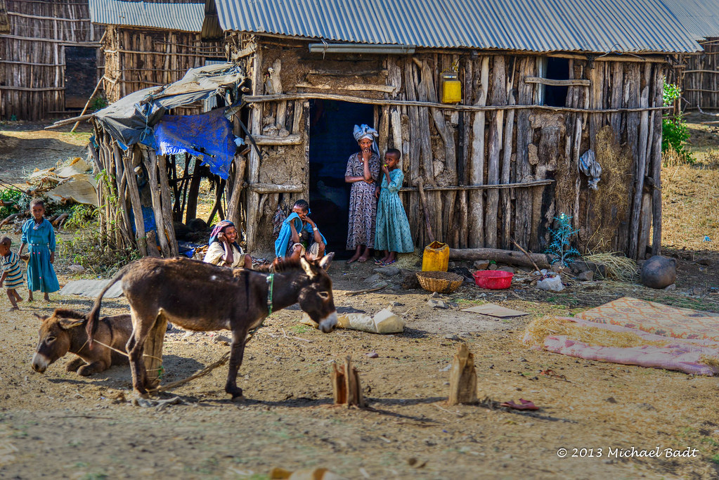
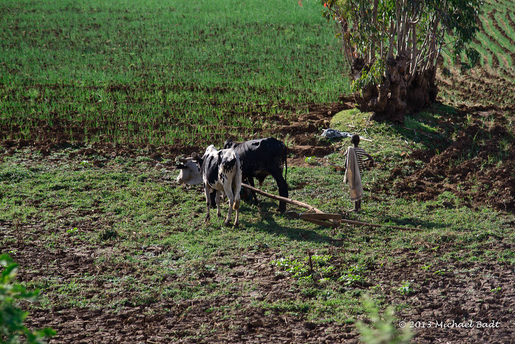
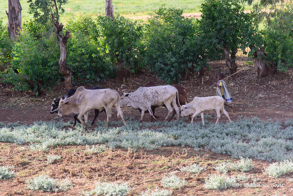
Related Photos:
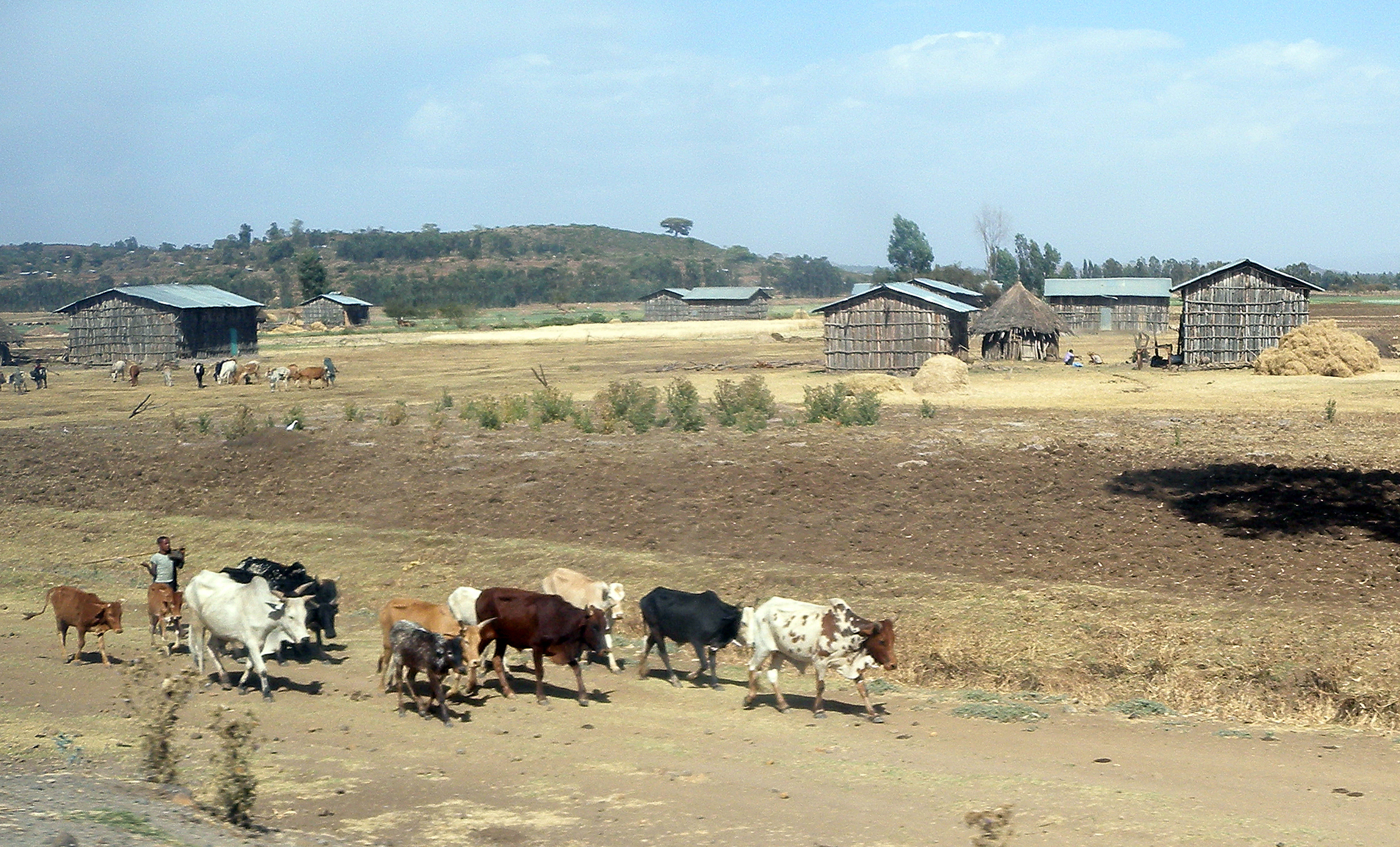
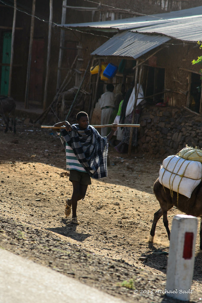
Farms by the road from Bahir Dar to Gondar, Ethiopia. April 2012. DSCN7535csc
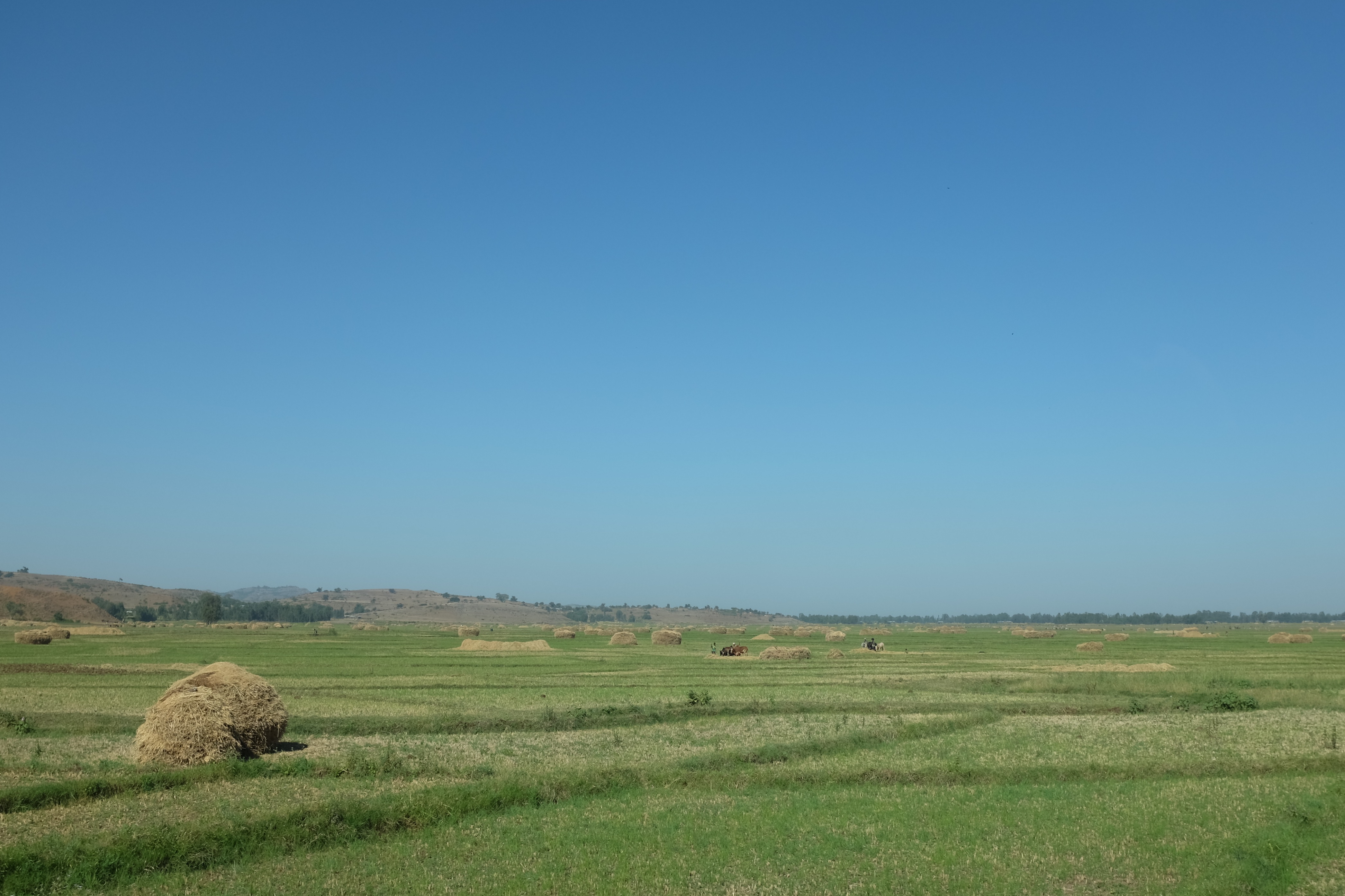
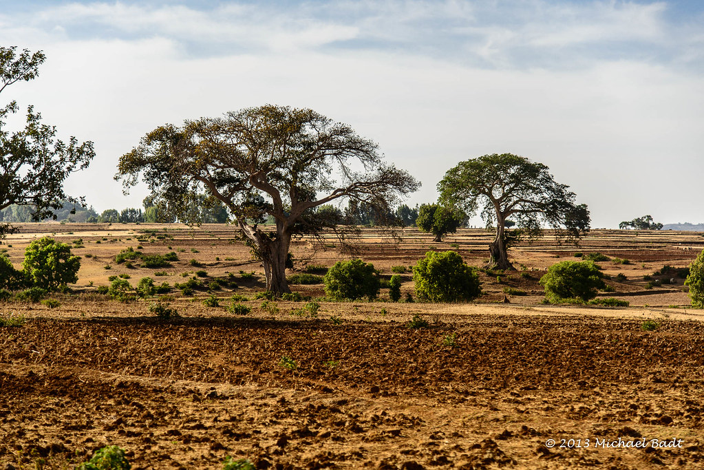
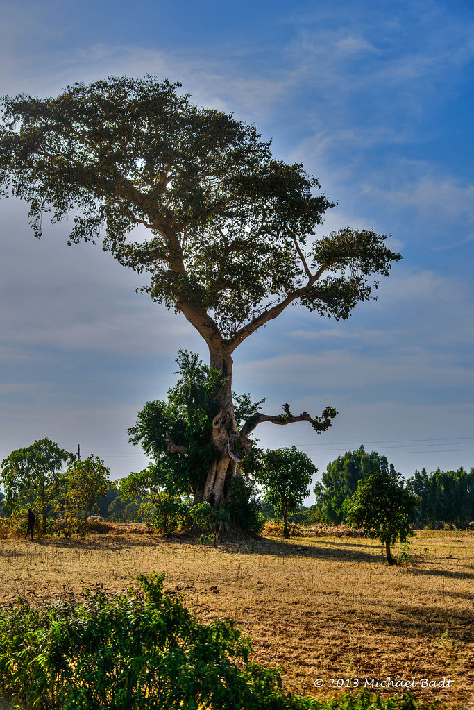
Ethiopian Landscape I
ETP-5039-20130123.jpg
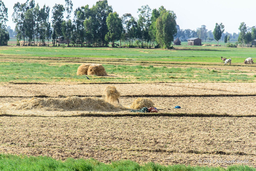
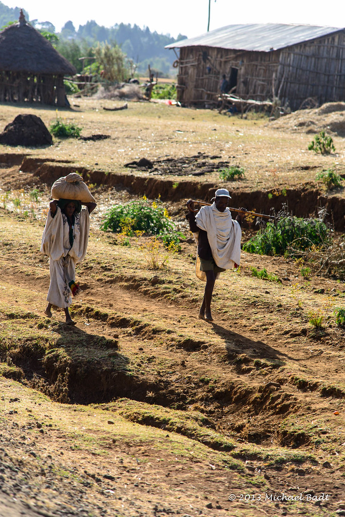
Ethiopian Landscape II
ETP-5048-20130123.jpg

Niñas en el dedo de Dios .P1070895
ETP-5047-20130123_tonemapped.jpg
ETP-5041-20130123.jpg
ETP-5040-20130123.jpg

Water fetching
ETP-5069-20130123_tonemapped.jpg

ETP-5068-20130123.jpg

ETP-5067-20130123.jpg
ETP-5066-20130123.jpg
ETP-5065-20130123.jpg

ETP-5064-20130123.jpg

ETP-5063-20130123.jpg
ETP-5062-20130123.jpg
ETP-5061-20130123.jpg

ETP-5060-20130123.jpg

ETP-5059-20130123.jpg
Topographic Map of Anbesame, Ethiopia
Find elevation by address:

Places near Anbesame, Ethiopia:
Hamusit
Wereta
Fogera
Bahir Dar
Dechu Mara
Yifag
Addis Zemen
Lake Tana
Gondar City Hall
Gondar
Fasilides' Bath
Kusquam
North Gondar
Recent Searches:
- Elevation of 15th Ave SE, St. Petersburg, FL, USA
- Elevation of Beall Road, Beall Rd, Florida, USA
- Elevation of Leguwa, Nepal
- Elevation of County Rd, Enterprise, AL, USA
- Elevation of Kolchuginsky District, Vladimir Oblast, Russia
- Elevation of Shustino, Vladimir Oblast, Russia
- Elevation of Lampiasi St, Sarasota, FL, USA
- Elevation of Elwyn Dr, Roanoke Rapids, NC, USA
- Elevation of Congressional Dr, Stevensville, MD, USA
- Elevation of Bellview Rd, McLean, VA, USA