Elevation map of Lake Tana, Ethiopia
Location: Ethiopia > Amhara > North Gondar >
Longitude: 37.3034845
Latitude: 12.0265982
Elevation: 1786m / 5860feet
Barometric Pressure: 82KPa
Elevation Map:
Satellite Map:
Related Photos:

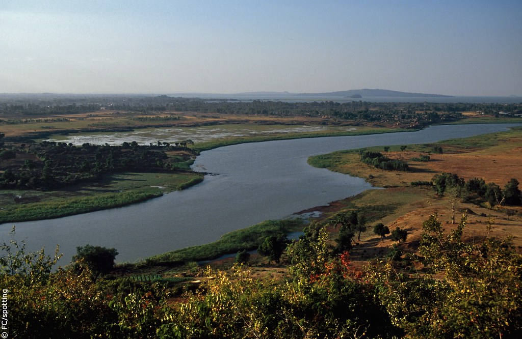
tana lake - ethiopia - 01
tana lake - ethiopia - 17

tana lake - ethiopia - 08

tana lake - ethiopia - 02

tana lake - ethiopia - 14

tana lake - ethiopia - 13

tana lake - ethiopia - 12

tana lake - ethiopia - 10

tana lake - ethiopia - 09

tana lake - ethiopia - 07

tana lake - ethiopia - 06

tana lake - ethiopia - 05

tana lake - ethiopia - 04

tana lake - ethiopia - 03
Topographic Map of Lake Tana, Ethiopia
Find elevation by address:

Places near Lake Tana, Ethiopia:
Fogera
Hamusit
Wereta
Yifag
Dechu Mara
Anbesame
Bahir Dar
Addis Zemen
North Gondar
Gondar
Gondar City Hall
Fasilides' Bath
Kusquam
Recent Searches:
- Elevation of Corso Fratelli Cairoli, 35, Macerata MC, Italy
- Elevation of Tallevast Rd, Sarasota, FL, USA
- Elevation of 4th St E, Sonoma, CA, USA
- Elevation of Black Hollow Rd, Pennsdale, PA, USA
- Elevation of Oakland Ave, Williamsport, PA, USA
- Elevation of Pedrógão Grande, Portugal
- Elevation of Klee Dr, Martinsburg, WV, USA
- Elevation of Via Roma, Pieranica CR, Italy
- Elevation of Tavkvetili Mountain, Georgia
- Elevation of Hartfords Bluff Cir, Mt Pleasant, SC, USA