Elevation of Yellow Pine Ln, Posey, CA, USA
Location: United States > California > Tulare County > Posey >

Longitude: -118.67864

Latitude: 35.806144

Elevation: 1112m / 3648feet

Barometric Pressure: 89KPa

Elevation Map:

elevation map of Yellow Pine Ln, Posey, CA, USA

Satellite Map:

Satellite map of Yellow Pine Ln, Posey, CA, USA
Related Photos:

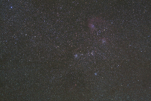
stars cluster astrophotography astronomy
M38 Widefield
california holiday nationalpark panorama sequoianp usa widescreen kings canyon canon nature scenic scenicview eos flickr flickrtravelaward beautiful beautifulearth beauty natuur ngc chrisvankan cvk cvkphotography chris van kan photography best outdoor
Kings Canyon, California USA
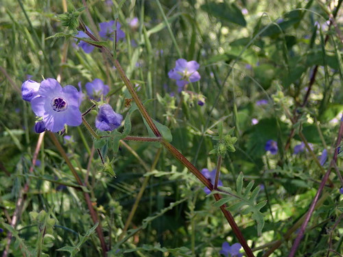
deathvalley dantesview naturguckerde cdieterschneider ngidn293143330 bluefiestaflowerpholistomaauritum
Pholistoma auritum - blue fiestaflower , NGIDn293143330
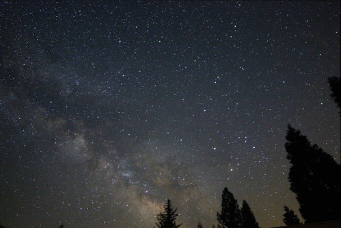
canon astrophotography astronomy milkyway
South View from CA Hot Springs
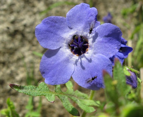
california blue flower detail macro nature closeup forest outdoors spring flora insects annual sierranevada exploration wildflower discovery riparian blooming sequoianationalforest pholistomaauritum creekside fiestaflower tylercreek tularecounty giantsequoianationalmonument bluefiestaflower zoniedude1 canonpowershotg11 earthnaturelife blueandbuggy 3400feetelevation
Blue and Buggy
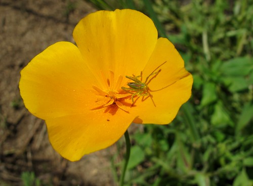
california wildflower grasshopper nymph spring blooming californiapoppy eschscholziacalifornica bugonaflower insect orthoptera flower annual goldnymph riparian tylercreek flora giantsequoianationalmonument sequoianationalforest sierranevada tularecounty 3400feetelevation outdoors exploration discovery closeup detail macro nature canonpowershotg11 zoniedude1 earthnaturelife © all rights reserved
Gold Nymph
california people snow tree cheri greenhornsummit
CA Trip Day 9: Stand Like an Egyptian
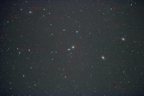
leo galaxy astrophotography astronomy messier
Around M105 With Labels
california people snow tree me cheri greenhornsummit
CA Trip Day 9: Greenhorn Summit
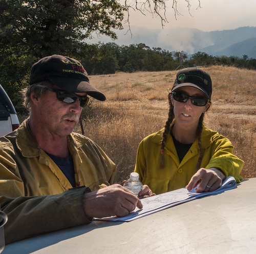
usdepartmentofagriculture unitedstatesdepartmentofagriculture usda“departmentofagriculture” forest nationalforest fire wildfire wildland forestfire cedar usforestservice fs forestservice unitedstatesforestservice kernville lakeisabella kernriver tularecounty kerncounty bakersfield posey panoramaheights sugarloaf california ca ponderosa treemorality pinesequoiaredwood adaptivemanagementservicesenterpriseteam amset firebehaviorassessmentteam fbat
20160824-FS-LSC-0008
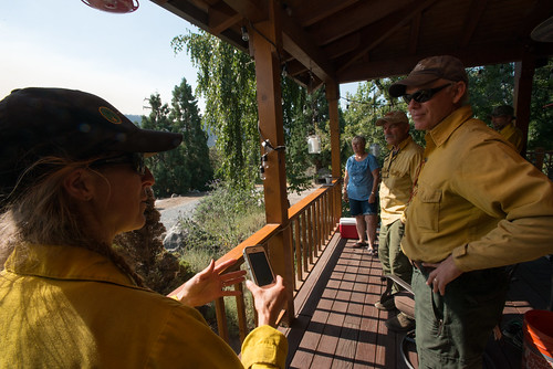
usdepartmentofagriculture unitedstatesdepartmentofagriculture usda“departmentofagriculture” forest nationalforest fire wildfire wildland forestfire cedar usforestservice fs forestservice unitedstatesforestservice kernville lakeisabella kernriver tularecounty kerncounty bakersfield posey panoramaheights sugarloaf california ca ponderosa treemorality pinesequoiaredwood adaptivemanagementservicesenterpriseteam amset firebehaviorassessmentteam fbat
20160824-FS-LSC-0040
astrophotography astronomy milkyway
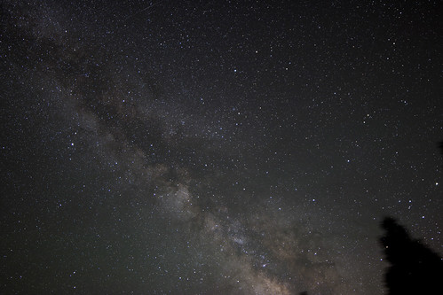
New 14mm Lens
longexposure astrophotography astronomy milkyway
Southern Milky Way
california blue flower detail macro nature closeup forest outdoors spring flora wildflowers sierranevada exploration discovery riparian blooming sequoianationalforest creekside tylercreek tularecounty giantsequoianationalmonument nemophilapulchella eastwoodsbabyblueeyes zoniedude1 canonpowershotg11 earthnaturelife 3400feetelevation bloomingbluebeauties
Blooming Blue Beauties
california nebula m45 pleiades
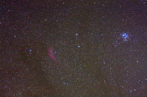
M45 and California Nebula
california sky white flower tree green field grass fence oak hill pasture
CA Trip Day 9: Lone Oak
california shadow green field grass fence spring barbedwire
CA Trip Day 9: Out to Pasture
california sky tree green field grass rock fence spring oak hill pasture
CA Trip Day 9: Bare Oaks, Green Grass, White Wildflowers
california shadow sky flower tree green grass spring oak hill poppy
CA Trip Day 9: Poppies
california sky tree green field grass oak hill
CA Trip Day 9: Shattered
california shadow sky tree green field grass rock spring oak afternoon hill pasture
CA Trip Day 9: Afternoon Shadows
glennville california ca vsco photography iphoneography landscape nature water river stream fence valley green trees roadside vacation
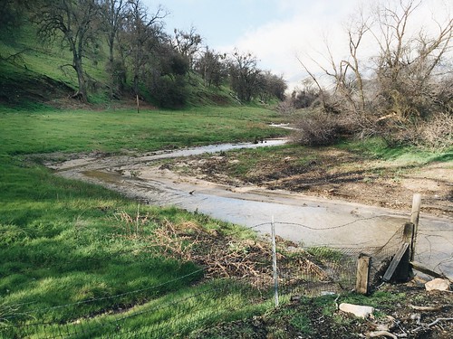
Small Glennville River
californiahighway155 sequoianationalforest woffordheights california ca vsco photography iphoneography landscape nature snow roads highway fall trees mountain fog roadtrip vacation
Highway 155 Mountaintop
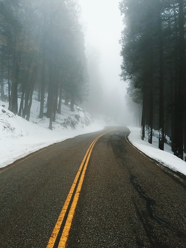
californiahighway155 sequoianationalforest woffordheights california ca vsco photography iphoneography landscape nature highway road foggy hazy fog haze snow winter trees driving roadtrip vacation
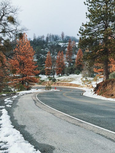
Hazy, Snowy Highway
landscapes scenics
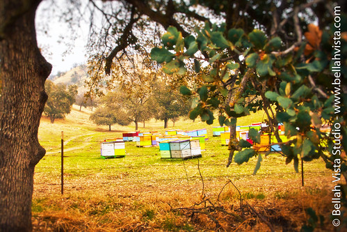
Honeybee Favela
snow snowboarding nikon d70 altasierra
Jake 360
6032&6050 Evans Road219
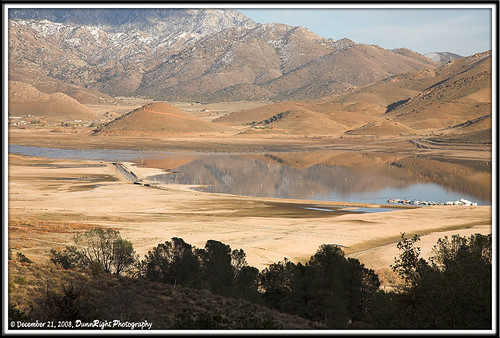
landscape kpa krv herbdunn dunnrightphotography kerncountyphotographers naturewatcher
Kern River Valley 1
orange grass dead hills
Orange hills in White River, California
landscape kpa krv herbdunn dunnrightphotography kerncountyphotographers
Kern River Valley 4
landscape kpa krv herbdunn dunnrightphotography kerncountyphotographers
Kern River Valley 3
USA Trip 2013 - Los Angeles ... San Francisco ... Las Vegas
california nature landscape scenic mountainwater pineflat herbdunn dunnrightphotography kerncountyphotographers
Old Wagon
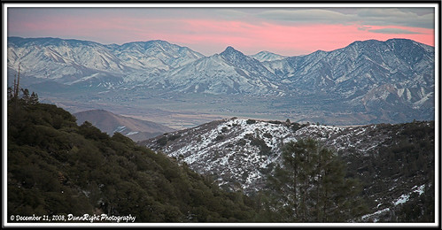
cahotsprings
Changing Weather
landscape kpa krv herbdunn dunnrightphotography kerncountyphotographers
Kern River Valley 2
nature landscape oneofakind canon20d canonef1740lusm bakersfield nyip canonphotography landscape101 flickrelitegroup 31landscape herbdunn mpixers dunnrightphotography kerncountyphotographers californiaphotoforum yourpostcardphoto californiawaterfallslakesandstreams
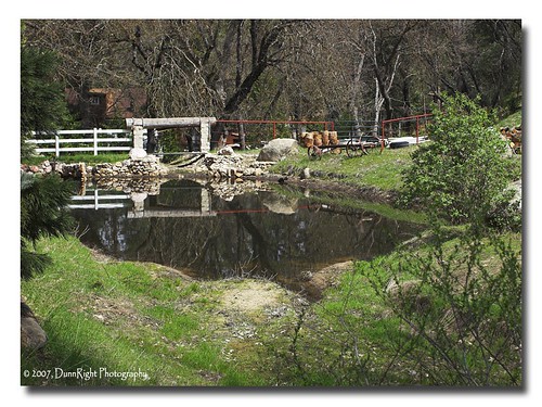
Pine Flat Pond
nature canon landscape wildlife canon20d scenic canonef1740f4lusm herbdunn dunnrightphotography kerncountyphotographers
Pond in Pine Flat