Elevation of Glennville, CA, USA
Location: United States > California > Kern County >
Longitude: -118.70372
Latitude: 35.728927
Elevation: 969m / 3179feet
Barometric Pressure: 90KPa
Elevation Map:
Satellite Map:
Related Photos:

CA Trip Day 9: Lone Oak

CA Trip Day 9: Out to Pasture

CA Trip Day 9: Bare Oaks, Green Grass, White Wildflowers

CA Trip Day 9: Stand Like an Egyptian

CA Trip Day 9: Poppies

CA Trip Day 9: Shattered

CA Trip Day 9: Afternoon Shadows

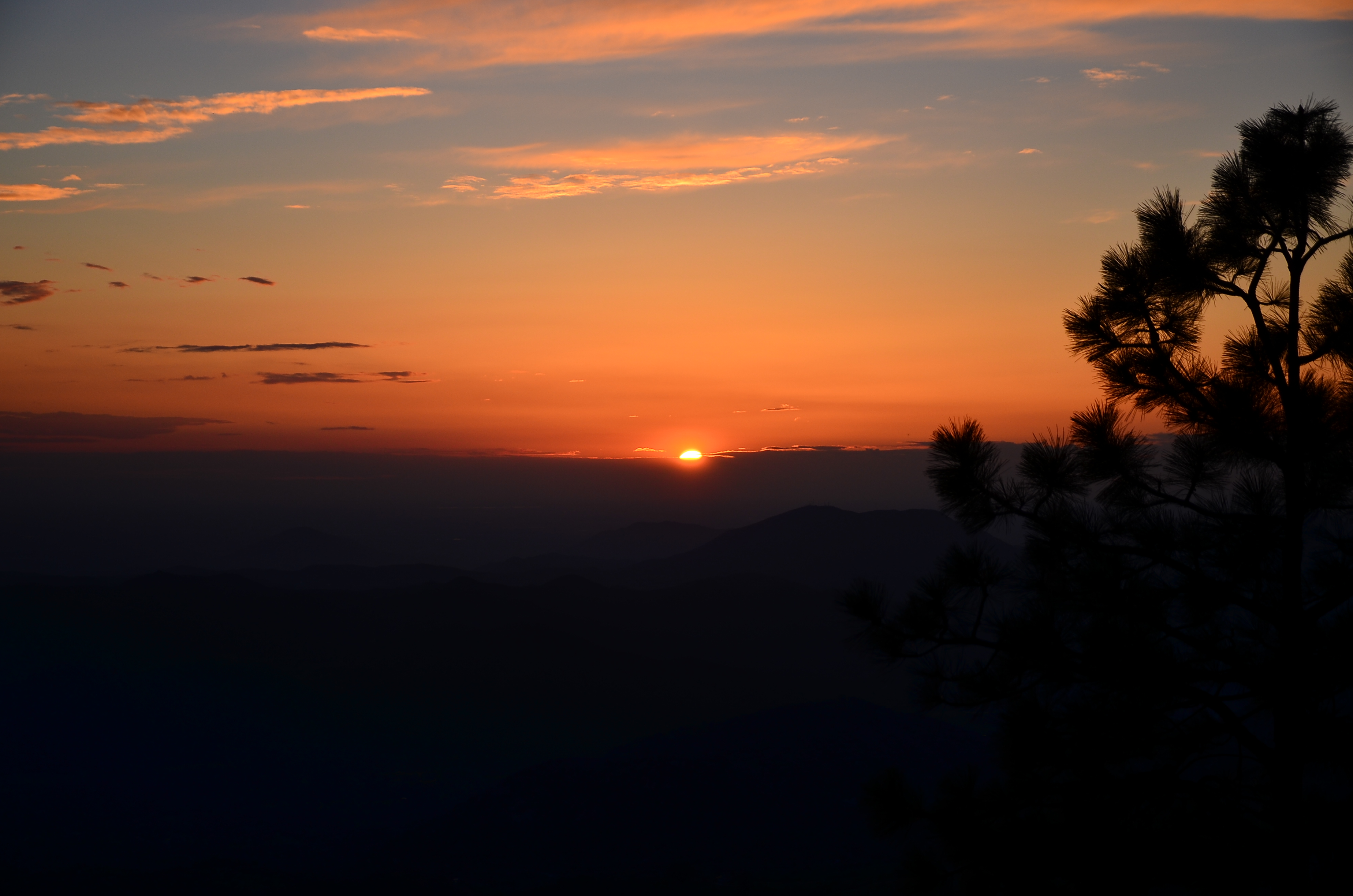
CA Trip Day 9: Greenhorn Summit
Kings Canyon, California USA
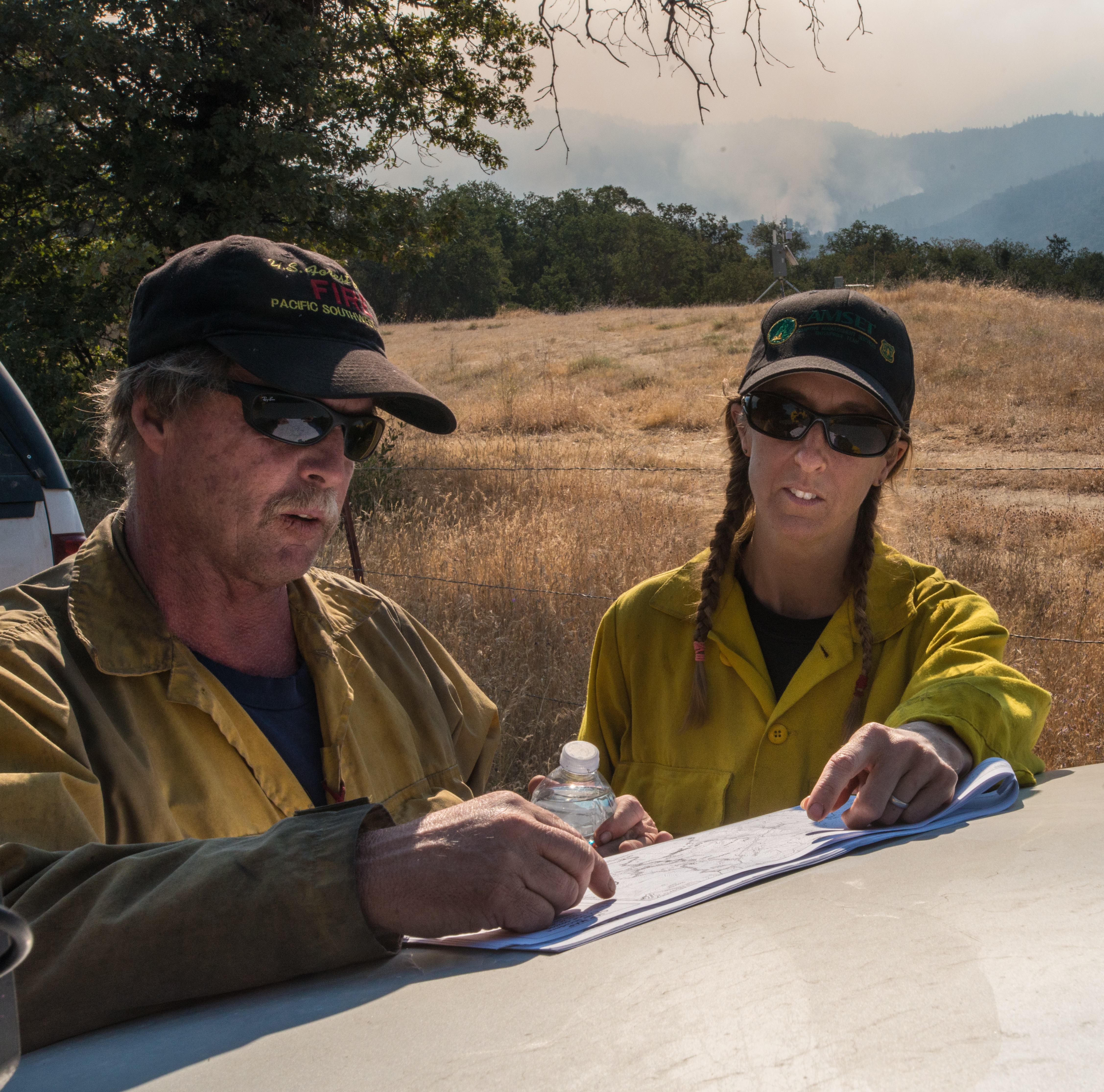
20160824-FS-LSC-0008
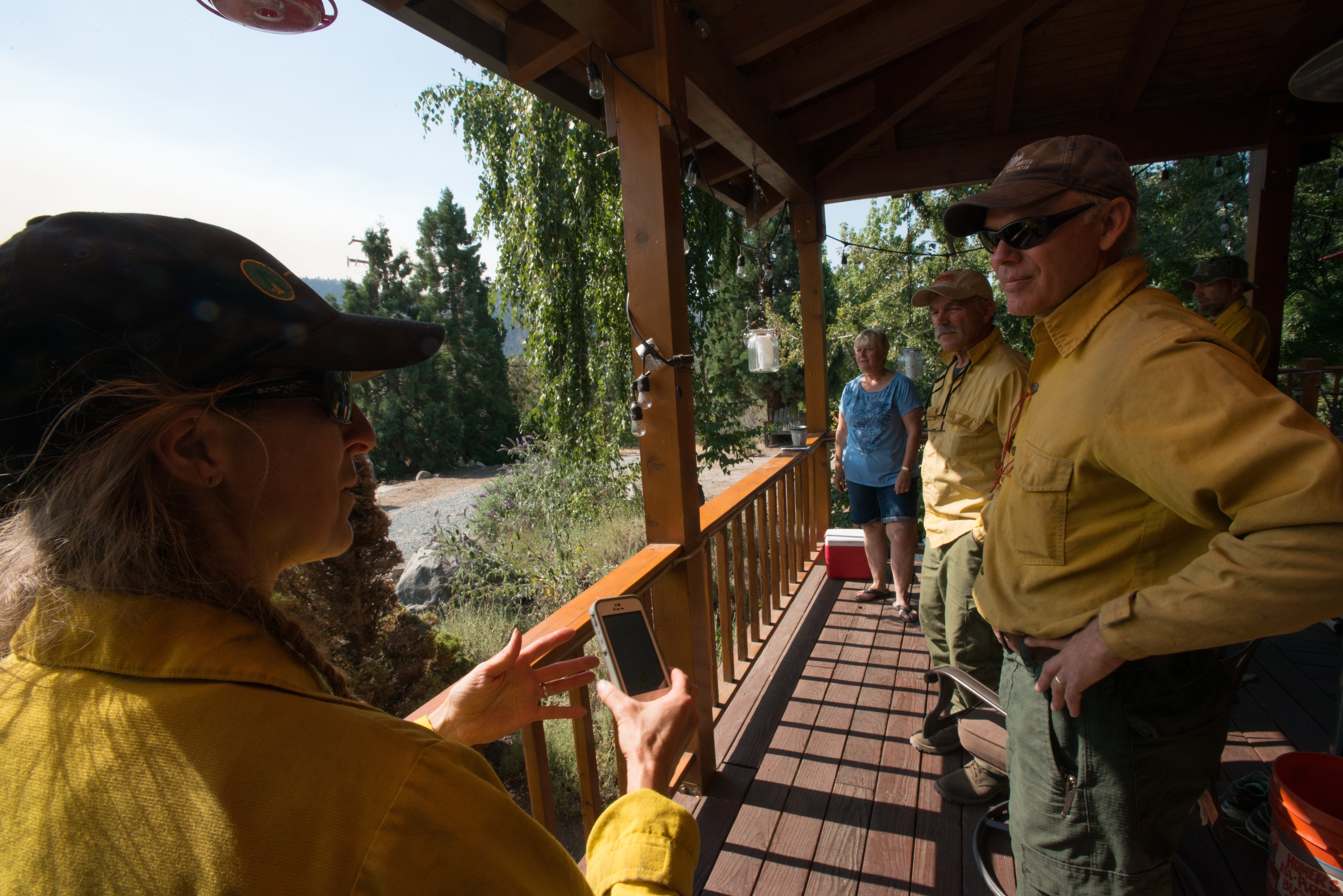
20160824-FS-LSC-0040
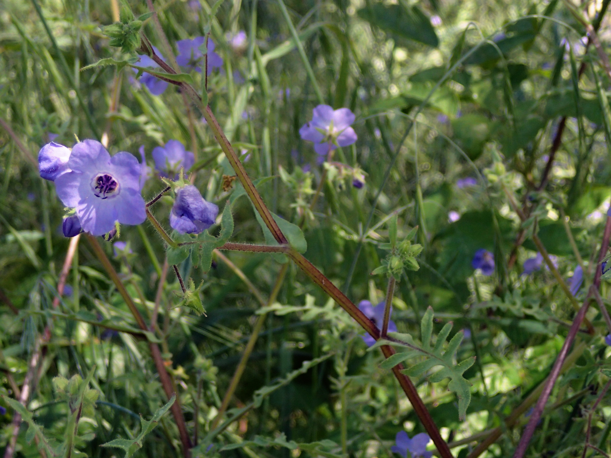
Pholistoma auritum - blue fiestaflower , NGIDn293143330

Woody Wildflowers

6032&6050 Evans Road219
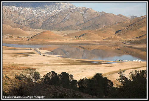
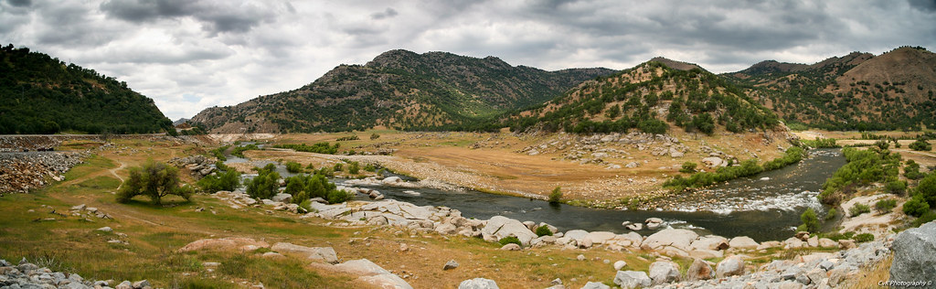
Kern River Valley 1
Kern River Valley 4
Kern River Valley 3
USA Trip 2013 - Los Angeles ... San Francisco ... Las Vegas

Orange hills in White River, California

Kern River Valley 2
Superb Mariposa Lily
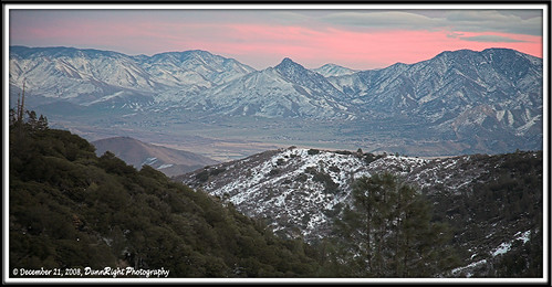
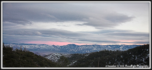
The southern Sierra, seen from the Greenhorn Mountains
2015 07 26_Greenhorn dirtbiking_0069.JPG

920_1700.NEF

920_1701.NEF

920_1705.NEF

920_1706.NEF

920_1707.NEF

920_1708.NEF
Topographic Map of Glennville, CA, USA
Find elevation by address:

Places in Glennville, CA, USA:
Places near Glennville, CA, USA:
CA-, Glennville, CA, USA
Mountain Market
42373 Jack Ranch Rd
39448 M-3
Posey
42760 Yellow Pine Ln
44133 M-3
M-3, Posey, CA, USA
45897 Panorama Dr
45008 Forest Dr
46182 Jessies Way
Hathily Dr, Posey, CA, USA
Alta Sierra
6032 Evans Rd
32092 Sugarloaf Ln
213 Tillie Creek Rd
1 Gold Mill Ave
14 Split Mountain Way
101 Earl Pascoe Rd
Recent Searches:
- Elevation of 6 Rue Jules Ferry, Beausoleil, France
- Elevation of Sattva Horizon, 4JC6+G9P, Vinayak Nagar, Kattigenahalli, Bengaluru, Karnataka, India
- Elevation of Great Brook Sports, Gold Star Hwy, Groton, CT, USA
- Elevation of 10 Mountain Laurels Dr, Nashua, NH, USA
- Elevation of 16 Gilboa Ln, Nashua, NH, USA
- Elevation of Laurel Rd, Townsend, TN, USA
- Elevation of 3 Nestling Wood Dr, Long Valley, NJ, USA
- Elevation of Ilungu, Tanzania
- Elevation of Yellow Springs Road, Yellow Springs Rd, Chester Springs, PA, USA
- Elevation of Rēzekne Municipality, Latvia