Elevation of Forest Dr, Posey, CA, USA
Location: United States > California > Tulare County > Posey >
Longitude: -118.64752
Latitude: 35.8210074
Elevation: 1462m / 4797feet
Barometric Pressure: 85KPa
Elevation Map:
Satellite Map:
Related Photos:
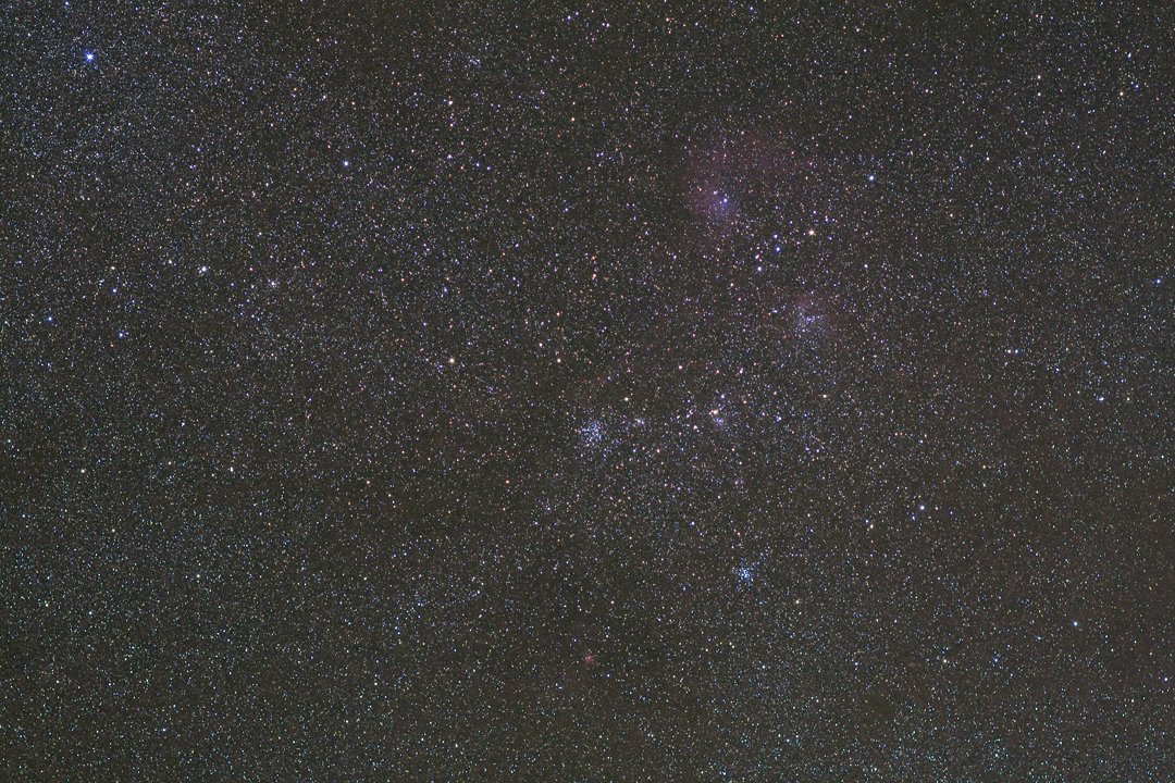
M38 Widefield
Kings Canyon, California USA
South View from CA Hot Springs

Blue and Buggy
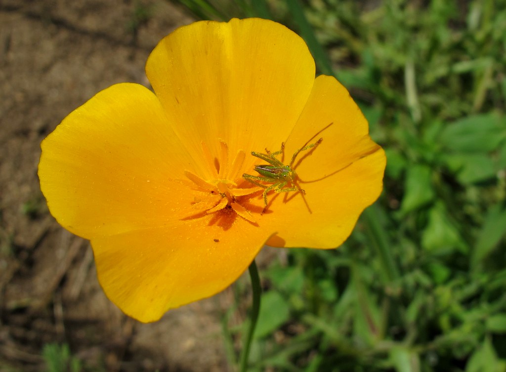
Gold Nymph
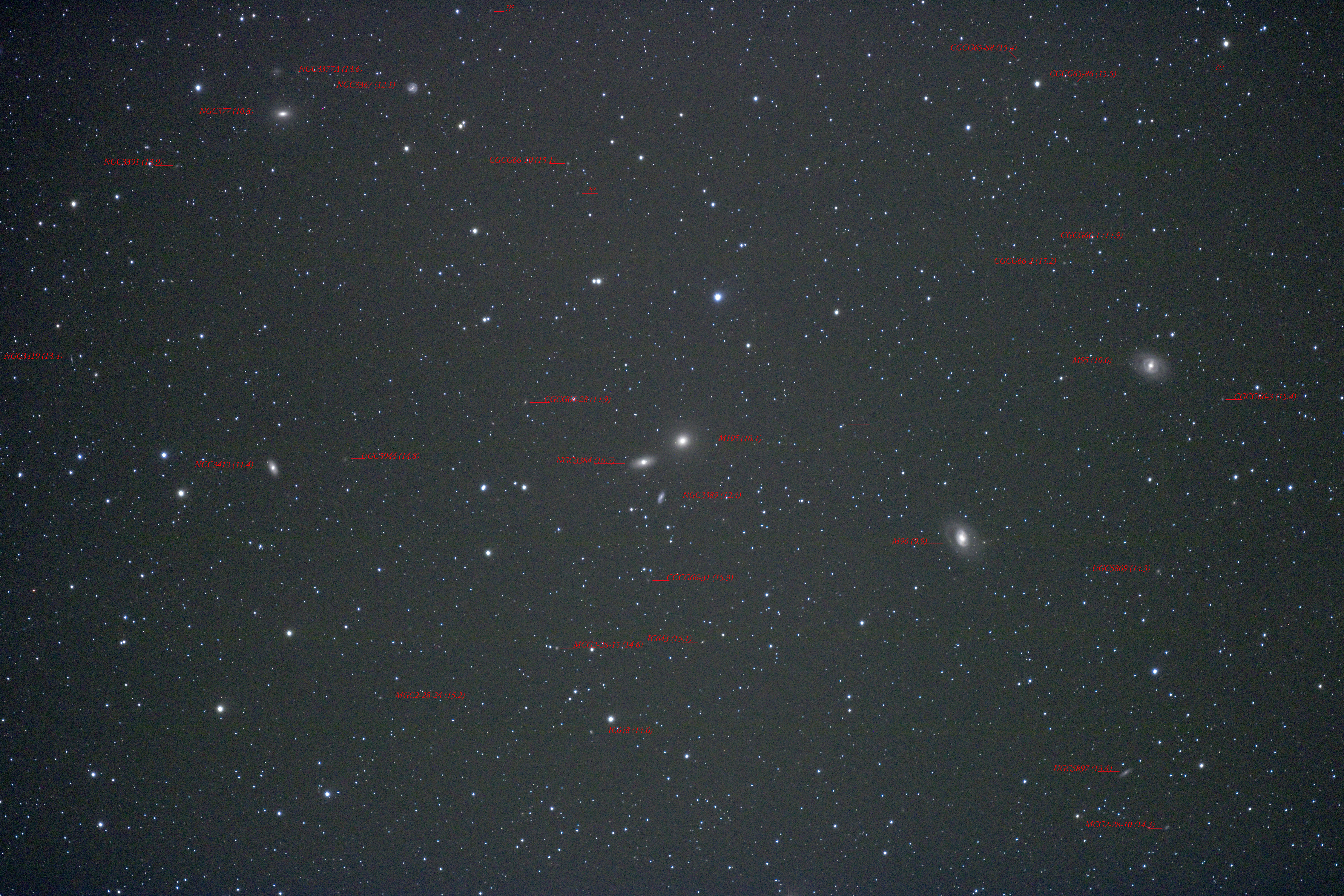
Around M105 With Labels
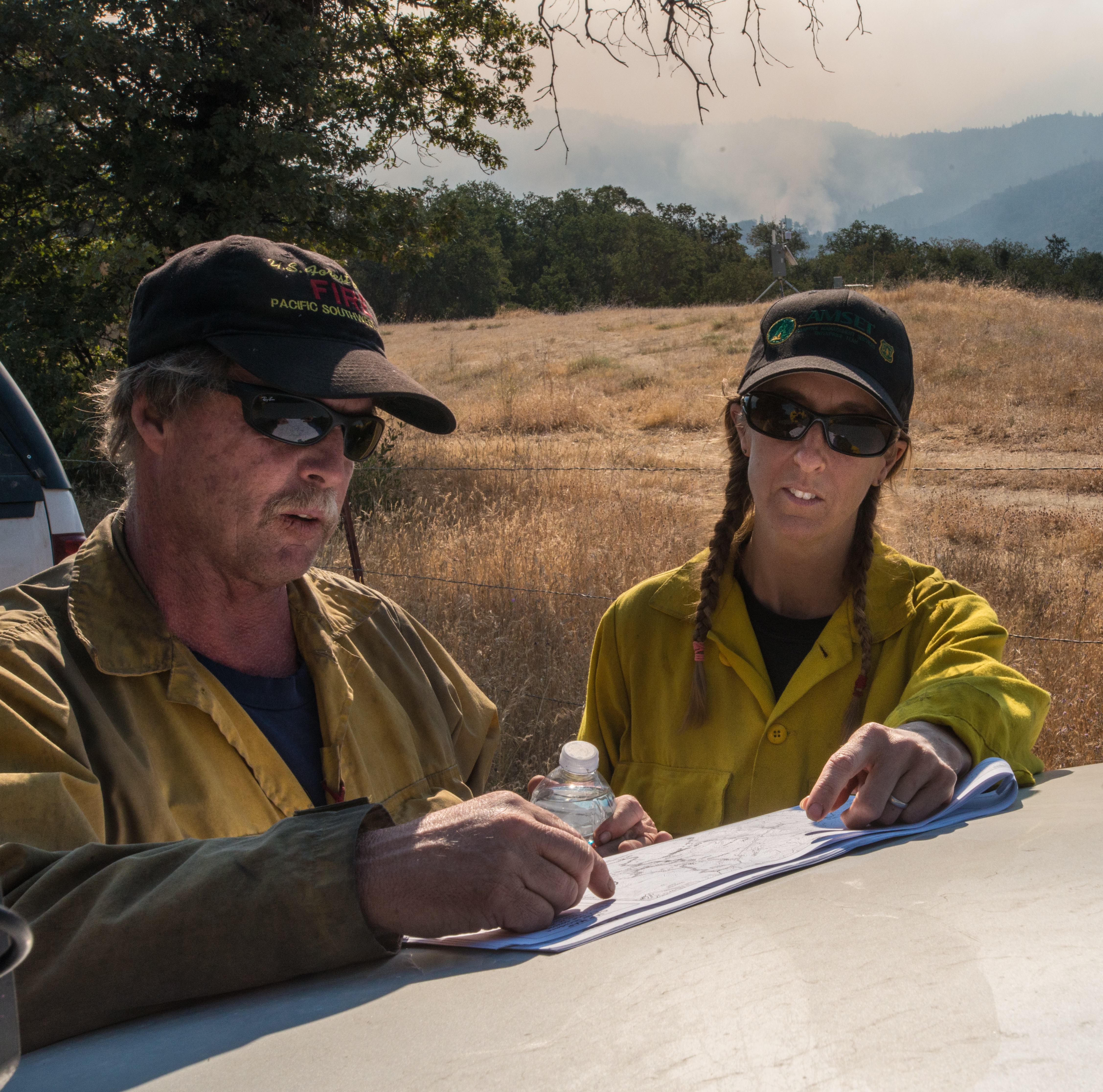
20160824-FS-LSC-0008
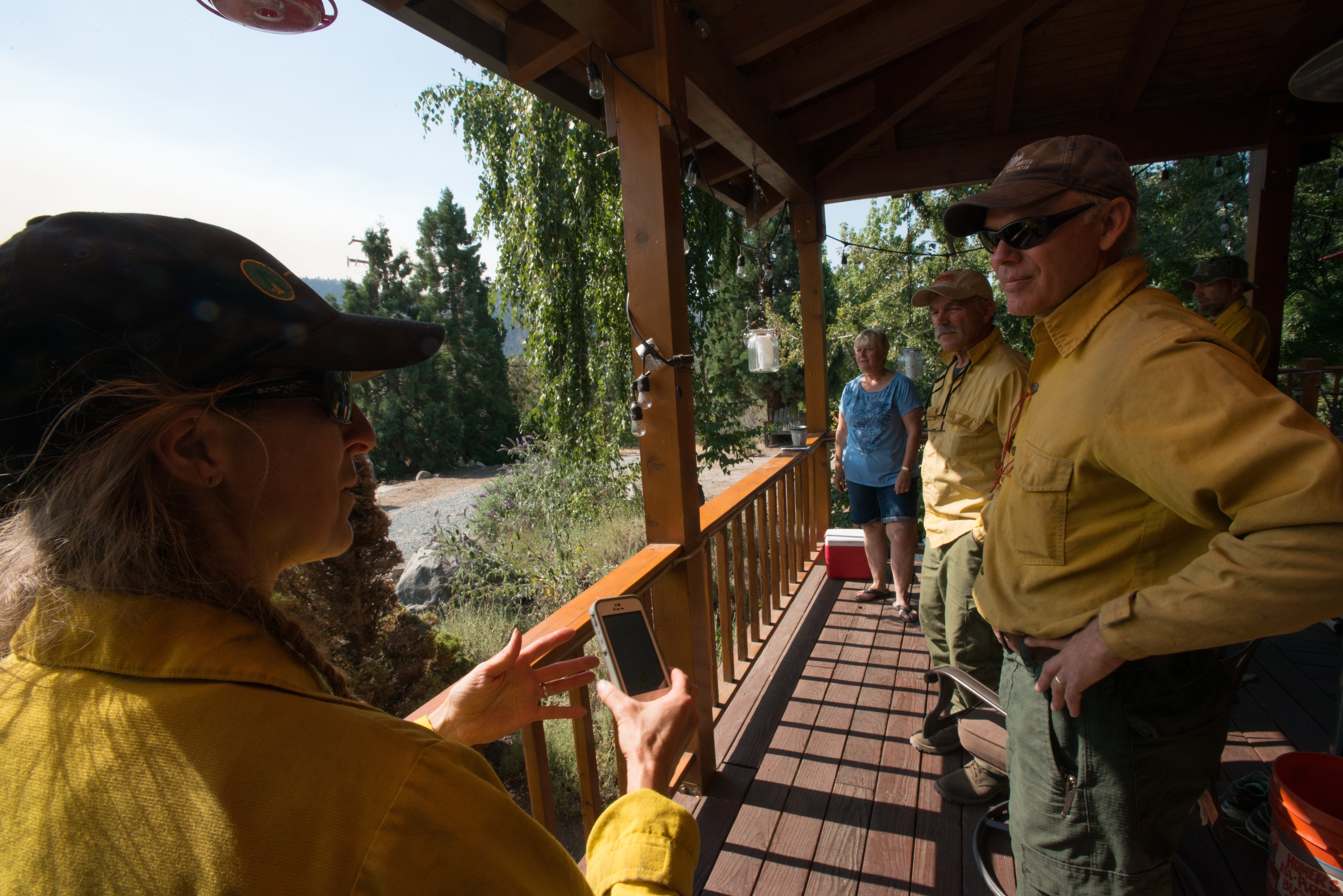
20160824-FS-LSC-0040
New 14mm Lens
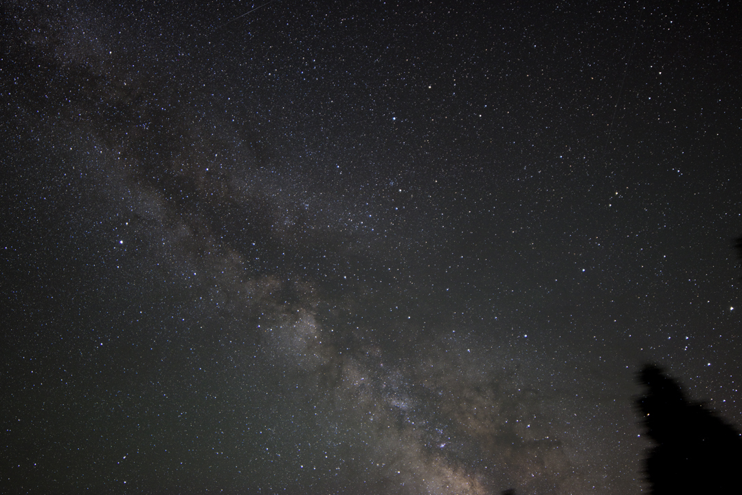
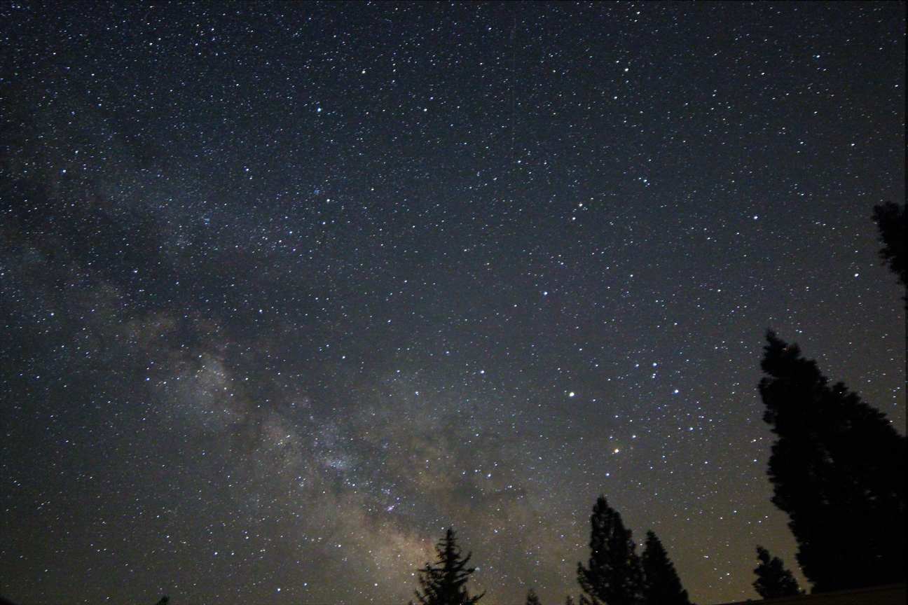
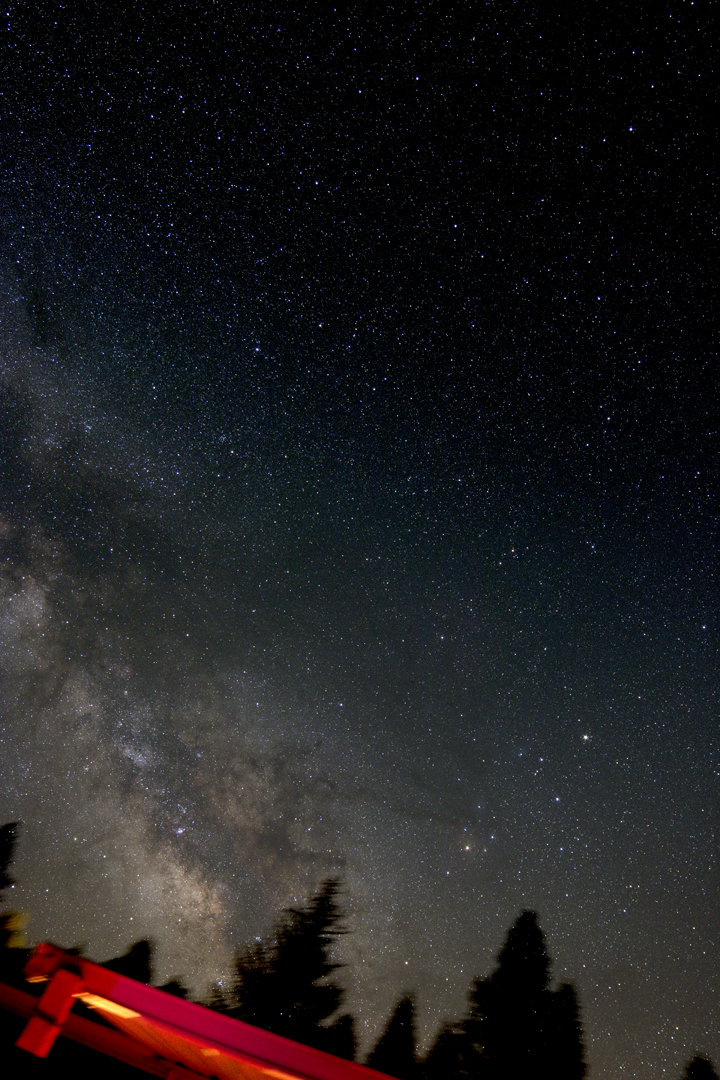
Southern Milky Way

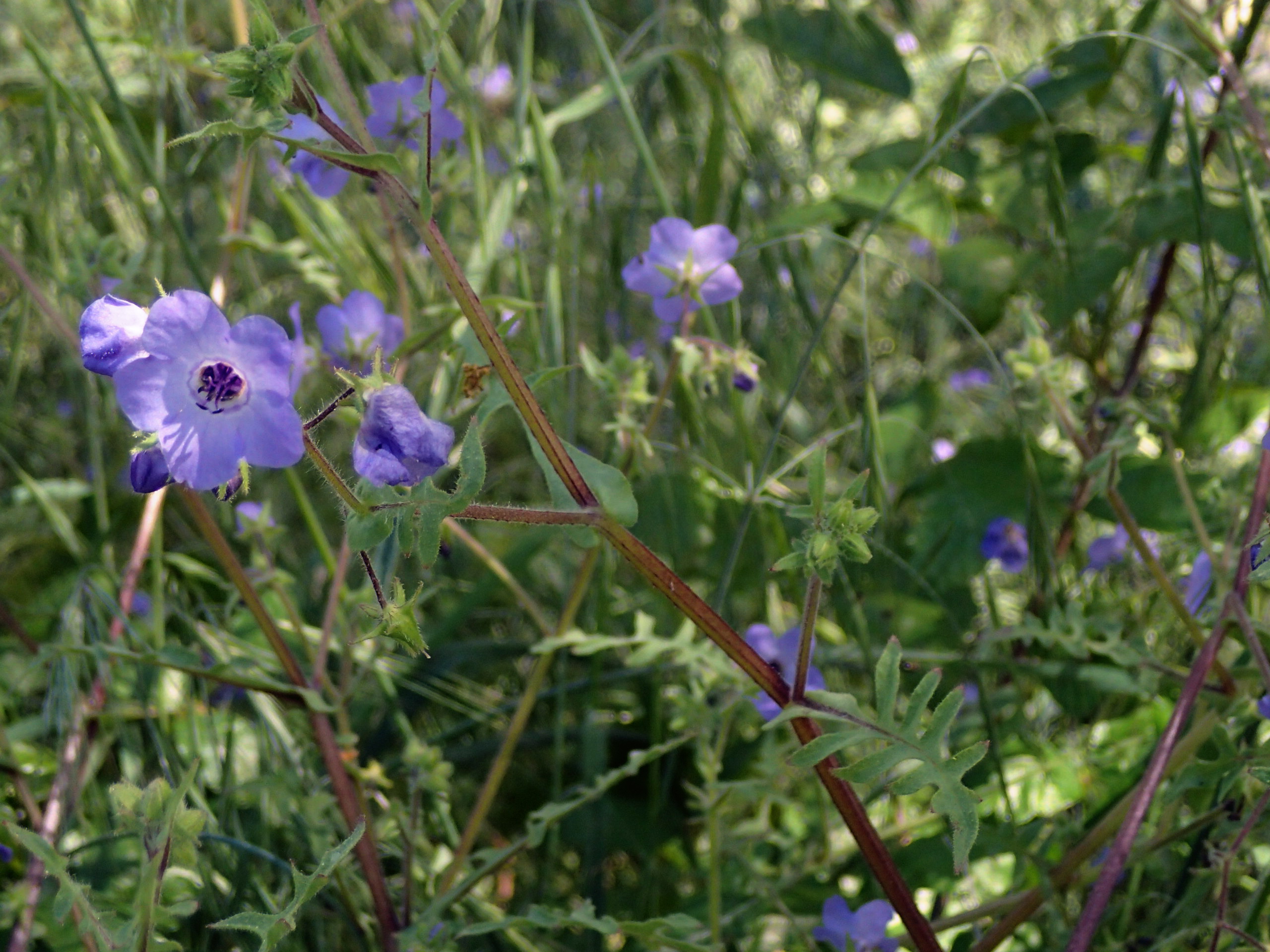
Blooming Blue Beauties
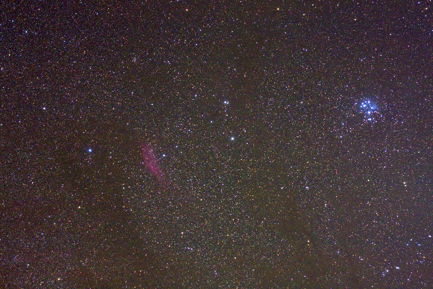
M45 and California Nebula
Pholistoma auritum - blue fiestaflower , NGIDn293143330

CA Trip Day 9: Stand Like an Egyptian

CA Trip Day 9: Greenhorn Summit
Small Glennville River

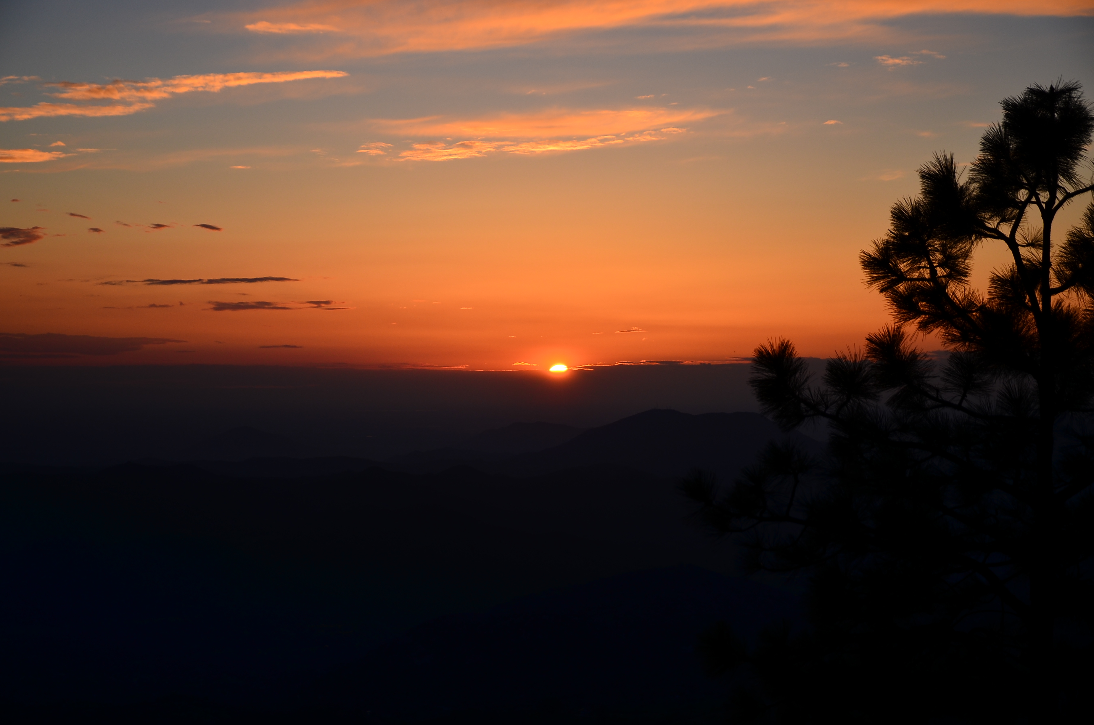
Highway 155 Mountaintop

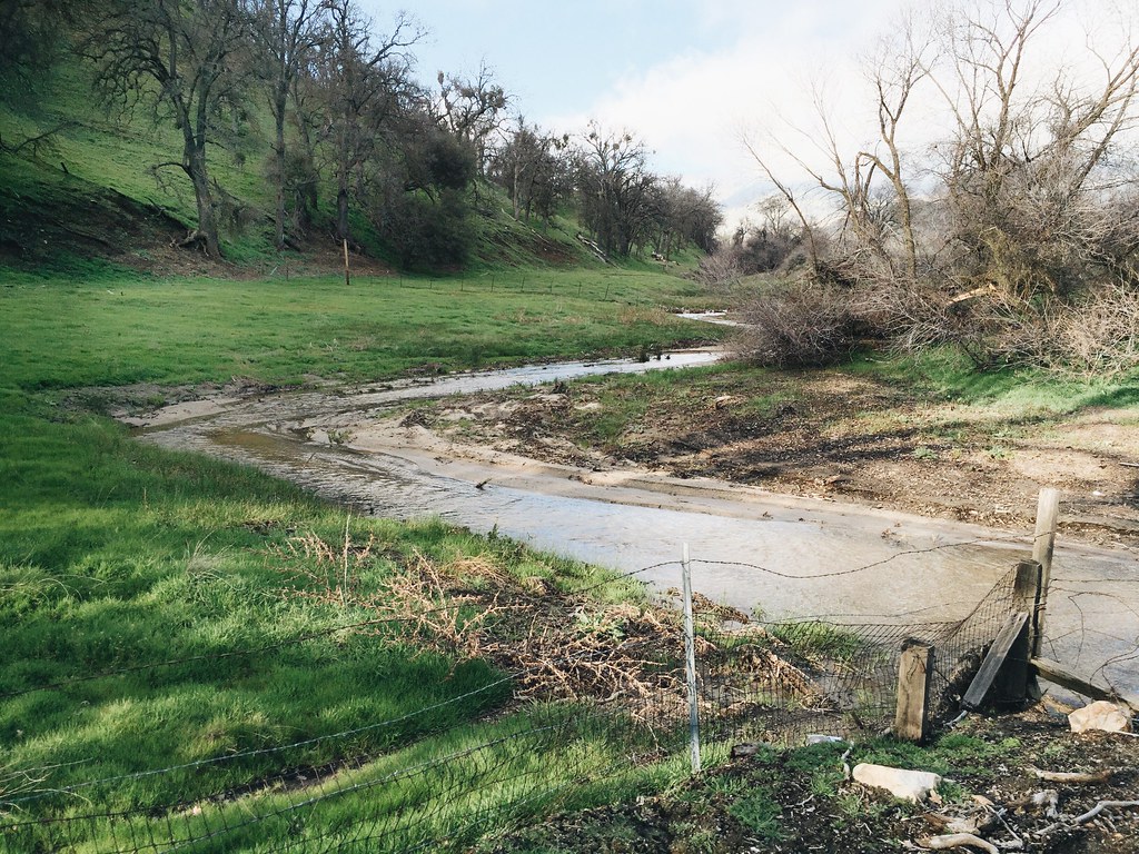
Tobias Creek snow melt
USA Trip 2013 - Los Angeles ... San Francisco ... Las Vegas
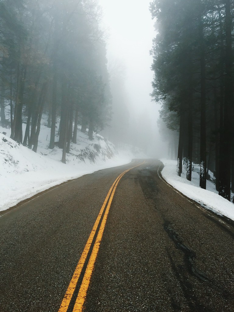
Hazy, Snowy Highway
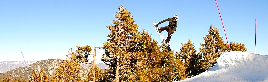
Jake 360

6032&6050 Evans Road219
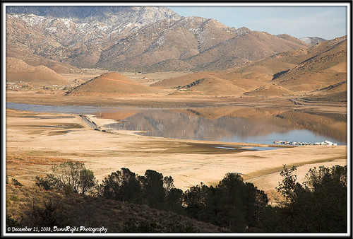
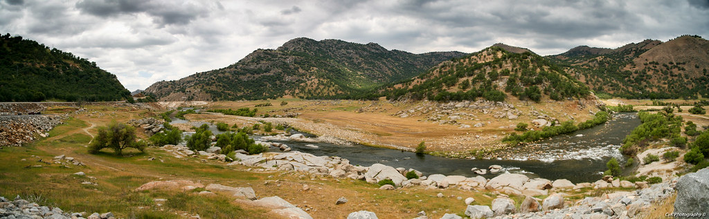
Kern River Valley 1
Oyster Shell Gulch
Kern River Valley 4
Kern River Valley 3
Old Wagon
Changing Weather

Kern River Valley 2
Pine Flat Pond

Pond in Pine Flat
Topographic Map of Forest Dr, Posey, CA, USA
Find elevation by address:

Places near Forest Dr, Posey, CA, USA:
Hathily Dr, Posey, CA, USA
M-3, Posey, CA, USA
44133 M-3
46182 Jessies Way
45897 Panorama Dr
42760 Yellow Pine Ln
Posey
32092 Sugarloaf Ln
42373 Jack Ranch Rd
39448 M-3
CA-, Glennville, CA, USA
Glennville
Alta Sierra
6032 Evans Rd
Mountain Market
213 Tillie Creek Rd
1 Gold Mill Ave
14 Split Mountain Way
101 Earl Pascoe Rd
Recent Searches:
- Elevation of Tenjo, Cundinamarca, Colombia
- Elevation of Côte-des-Neiges, Montreal, QC H4A 3J6, Canada
- Elevation of Bobcat Dr, Helena, MT, USA
- Elevation of Zu den Ihlowbergen, Althüttendorf, Germany
- Elevation of Badaber, Peshawar, Khyber Pakhtunkhwa, Pakistan
- Elevation of SE Heron Loop, Lincoln City, OR, USA
- Elevation of Slanický ostrov, 01 Námestovo, Slovakia
- Elevation of Spaceport America, Co Rd A, Truth or Consequences, NM, USA
- Elevation of Warwick, RI, USA
- Elevation of Fern Rd, Whitmore, CA, USA