Elevation of X Way Rd, Laurinburg, NC, USA
Location: United States > North Carolina > Scotland County > Stewartsville > Laurinburg >
Longitude: -79.526343
Latitude: 34.745044
Elevation: 54m / 177feet
Barometric Pressure: 101KPa
Elevation Map:
Satellite Map:
Related Photos:
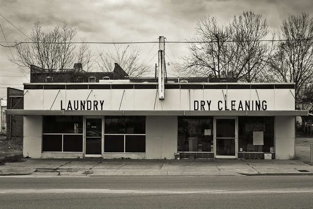
SOUTHERN CLEANERS
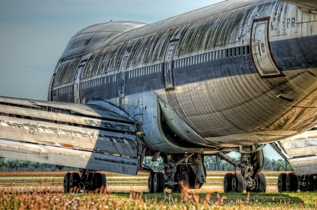
Retired 747-100 at KMEB
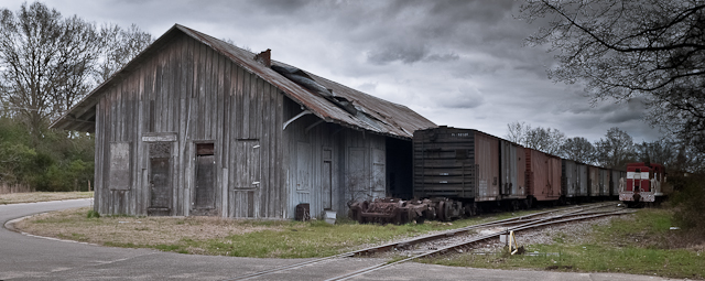
FORGOTTEN FREIGHT
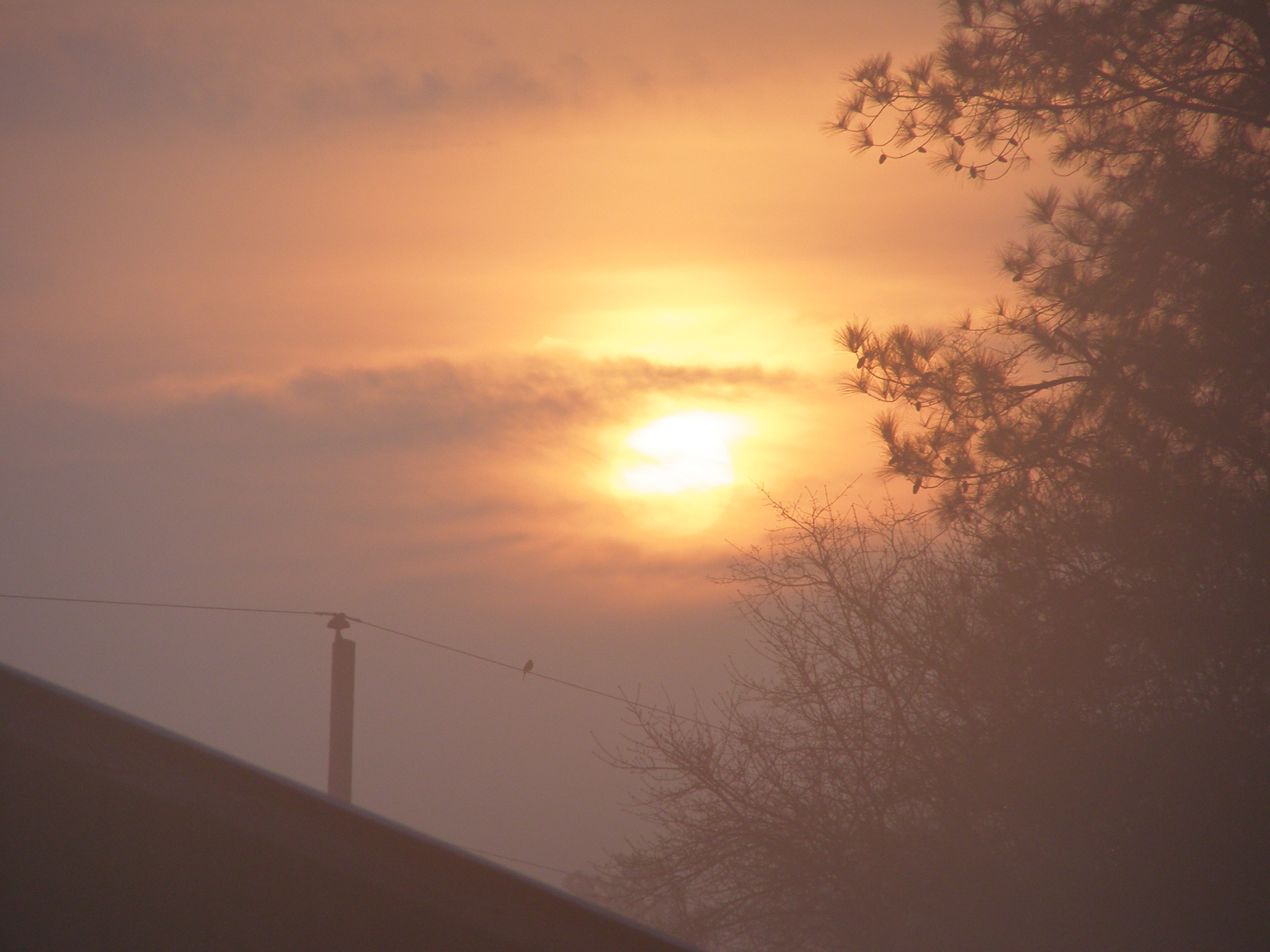
Sunrise at the Farm
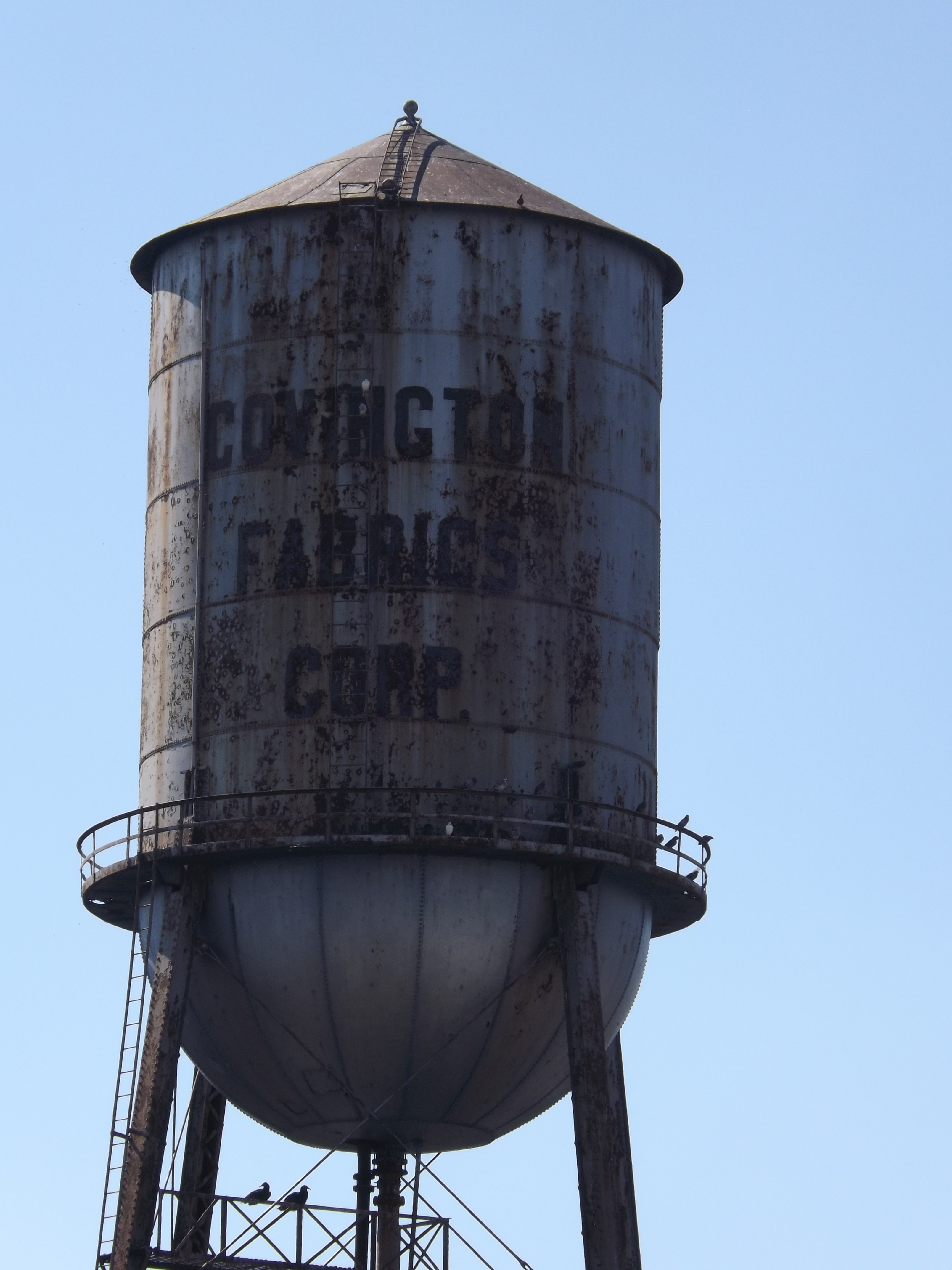
Covington Fabrics Plant 1of4 Click on the image to view fullsize

Ida Yarn Mill, Laurel Hill, NC
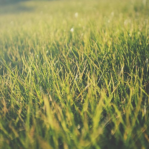
The green, green grass of home in Laurinburg, NC. #home #grass #road2imaging @ourppa @imagingusa
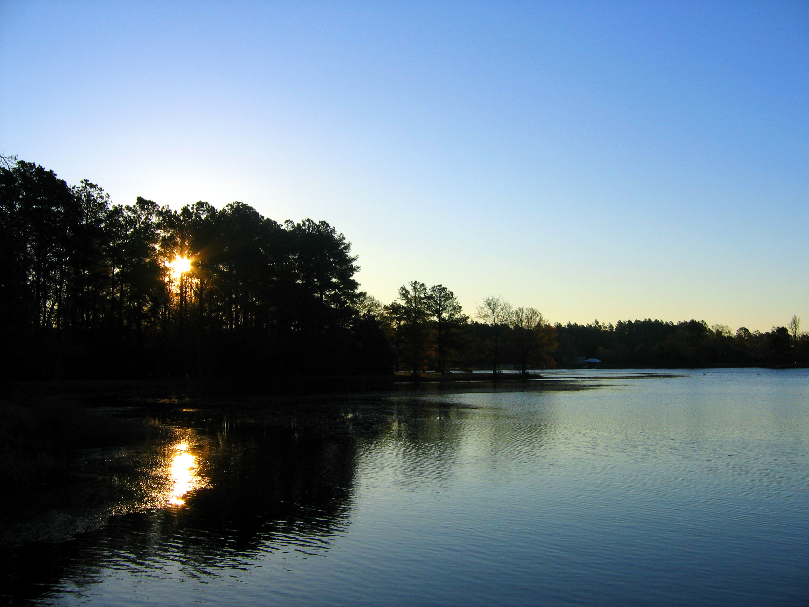
Sunrise and the Lake
The Lake
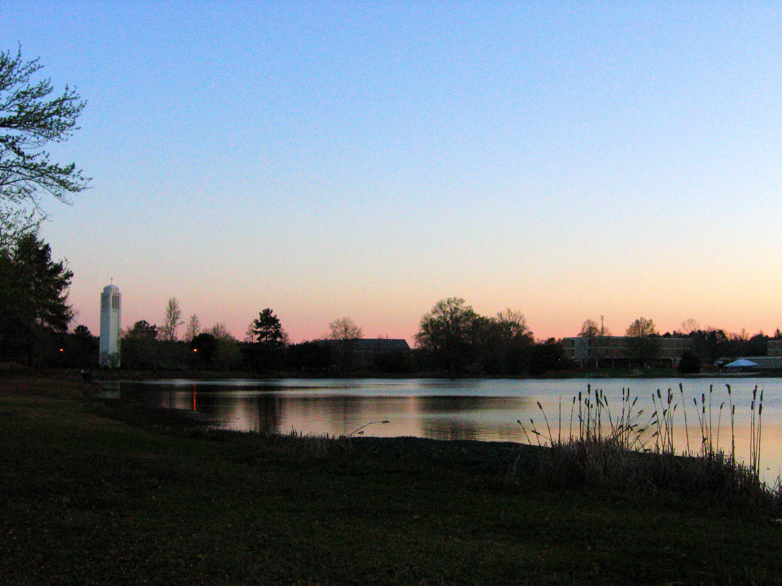
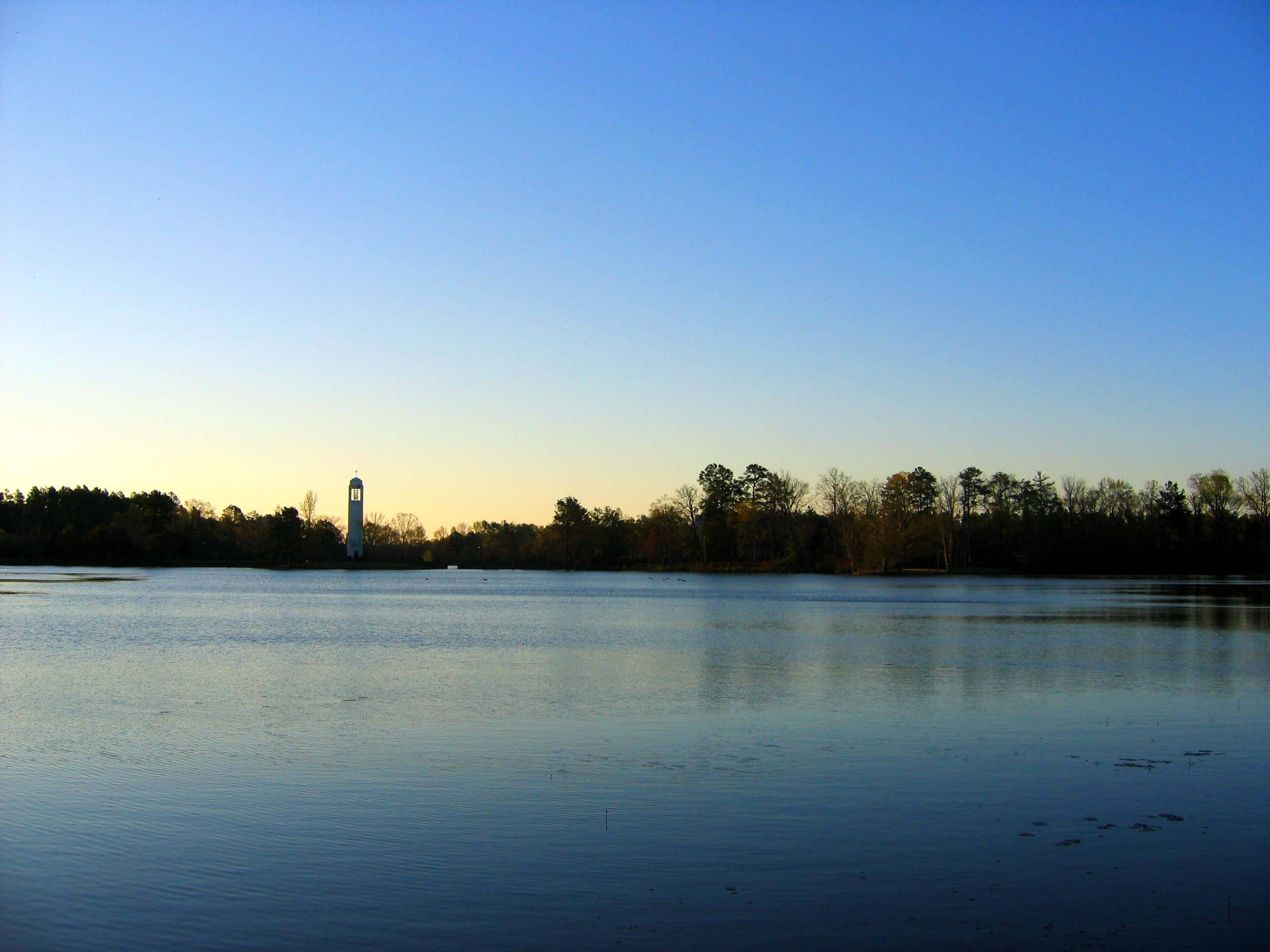
Almost Forgot to Include the Belltower!
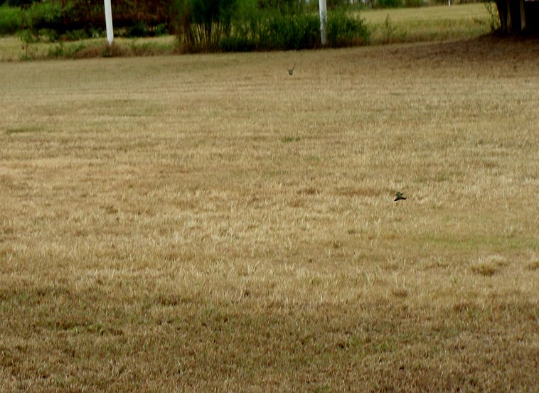
"Dog Fighting Hummingbirds"
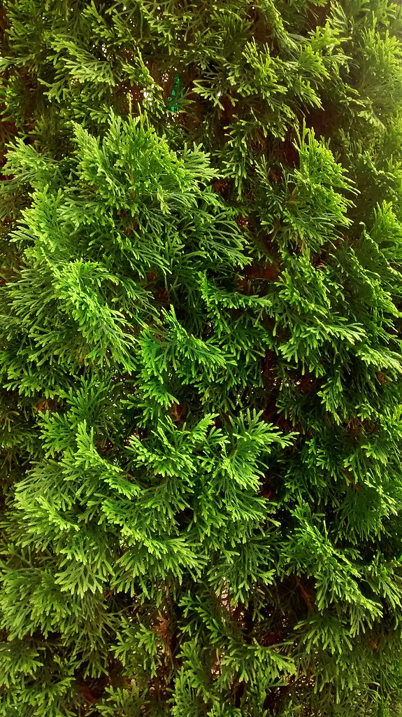
Pine Greenery.

The Lake, Some Dorms
Topographic Map of X Way Rd, Laurinburg, NC, USA
Find elevation by address:

Places near X Way Rd, Laurinburg, NC, USA:
12701 Blues Farm Rd
Providence Rd, Laurinburg, NC, USA
Gibson Rd, Laurinburg, NC, USA
8040 Fletcher Rd
2200 Elm Ave
911 W Scotsdale Rd
Barnes Bridge Rd, Laurinburg, NC, USA
7960 Scotch Meadows Dr
Scotland County Memorial Library
Sawdust Ln, Laurinburg, NC, USA
Laurinburg
E Church St, Laurinburg, NC, USA
Williamson
321 N Gill St
7841 Rockingham Rd
Main St, Gibson, NC, USA
Gibson
4066 Pea Bridge Rd
Old Wire Rd, Laurel Hill, NC, USA
Lakeland Dr, Bennettsville, SC, USA
Recent Searches:
- Elevation of Lampiasi St, Sarasota, FL, USA
- Elevation of Elwyn Dr, Roanoke Rapids, NC, USA
- Elevation of Congressional Dr, Stevensville, MD, USA
- Elevation of Bellview Rd, McLean, VA, USA
- Elevation of Stage Island Rd, Chatham, MA, USA
- Elevation of Shibuya Scramble Crossing, 21 Udagawacho, Shibuya City, Tokyo -, Japan
- Elevation of Jadagoniai, Kaunas District Municipality, Lithuania
- Elevation of Pagonija rock, Kranto 7-oji g. 8"N, Kaunas, Lithuania
- Elevation of Co Rd 87, Jamestown, CO, USA
- Elevation of Tenjo, Cundinamarca, Colombia