Elevation of Gibson Rd, Laurinburg, NC, USA
Location: United States > North Carolina > Scotland County > Laurel Hill Township >
Longitude: -79.511316
Latitude: 34.780698
Elevation: 72m / 236feet
Barometric Pressure: 100KPa
Elevation Map:
Satellite Map:
Related Photos:
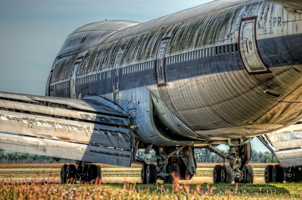
Retired 747-100 at KMEB
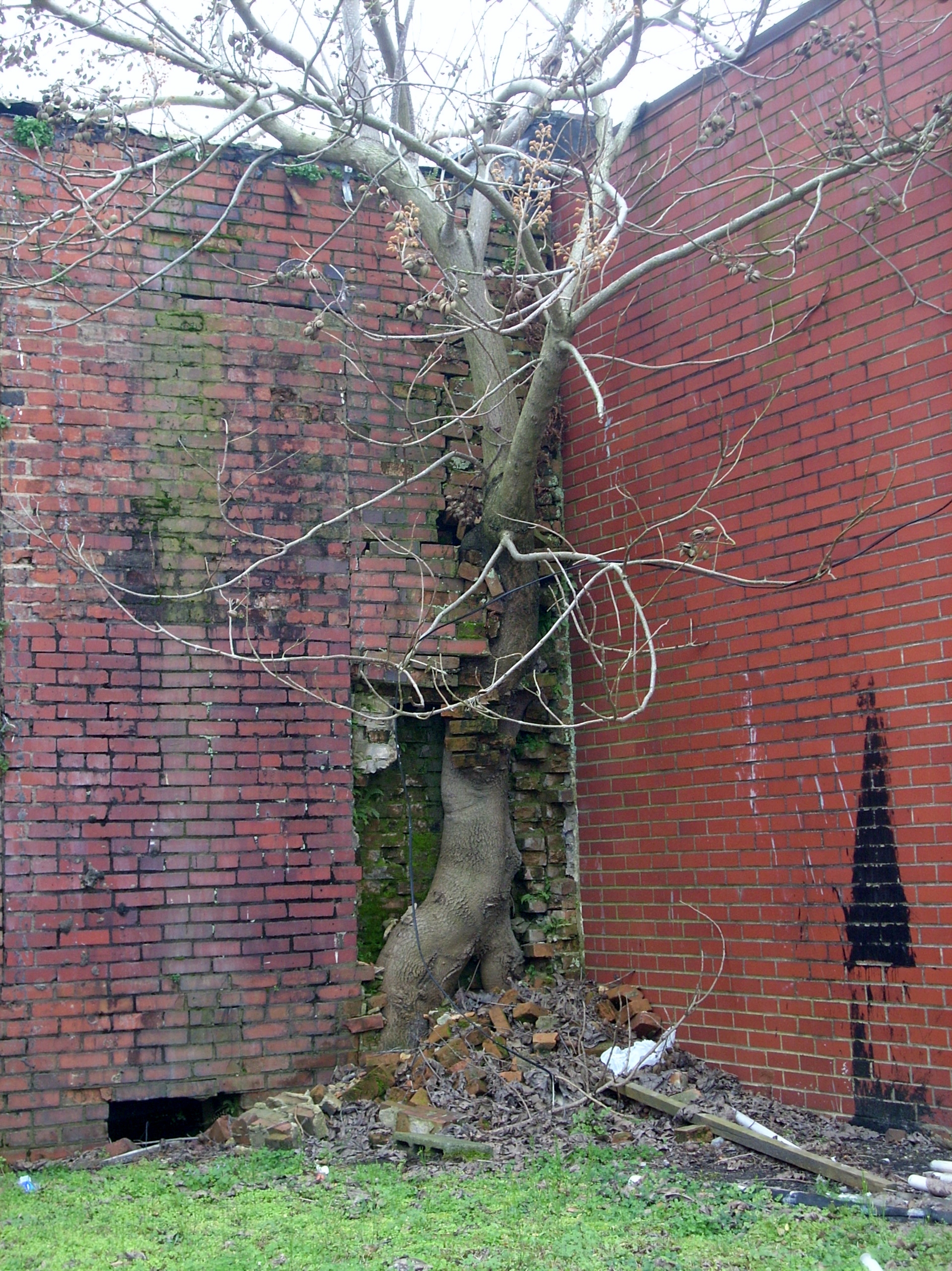
Force of Nature
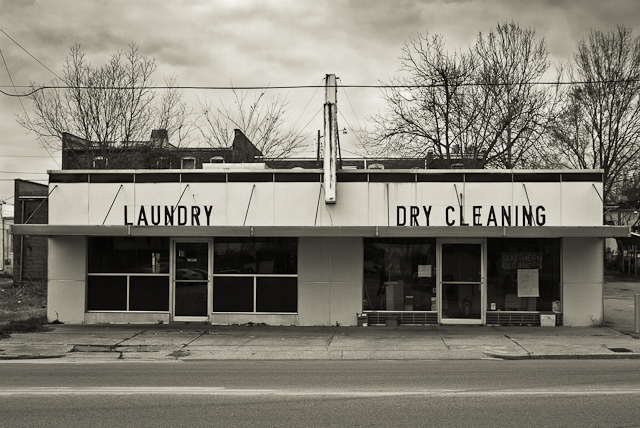
SOUTHERN CLEANERS
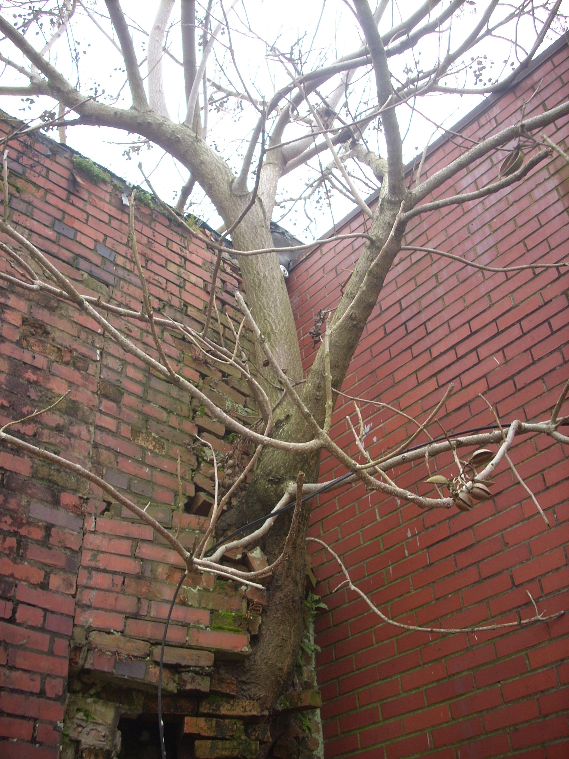
Another Tree in the Wall

Ida Yarn Mill, Laurel Hill, NC
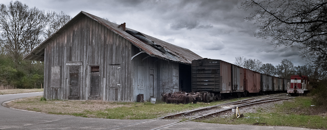
FORGOTTEN FREIGHT
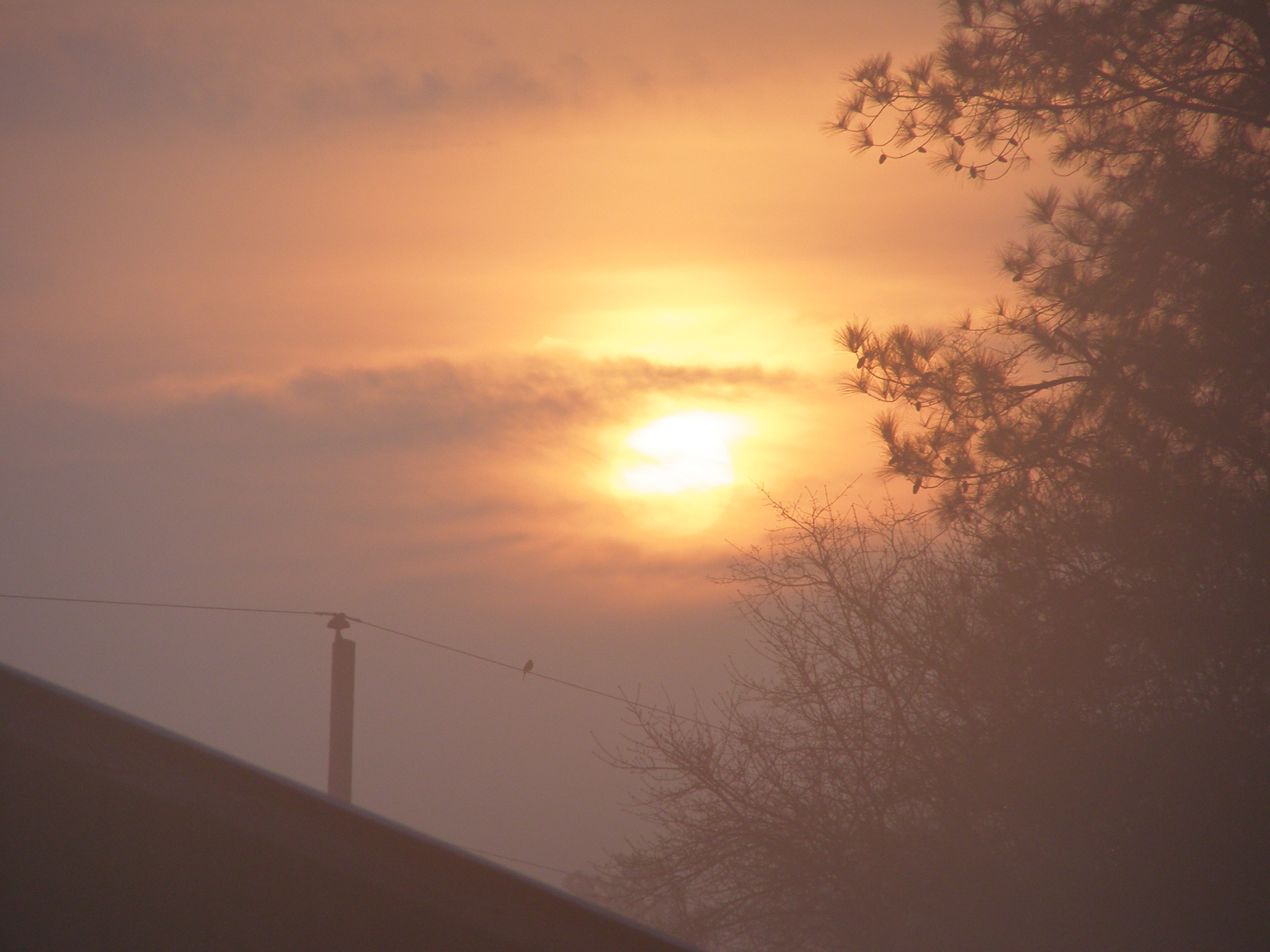
Sunrise at the Farm
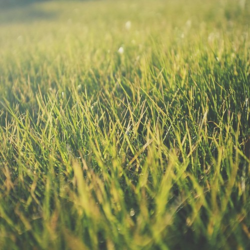
The green, green grass of home in Laurinburg, NC. #home #grass #road2imaging @ourppa @imagingusa
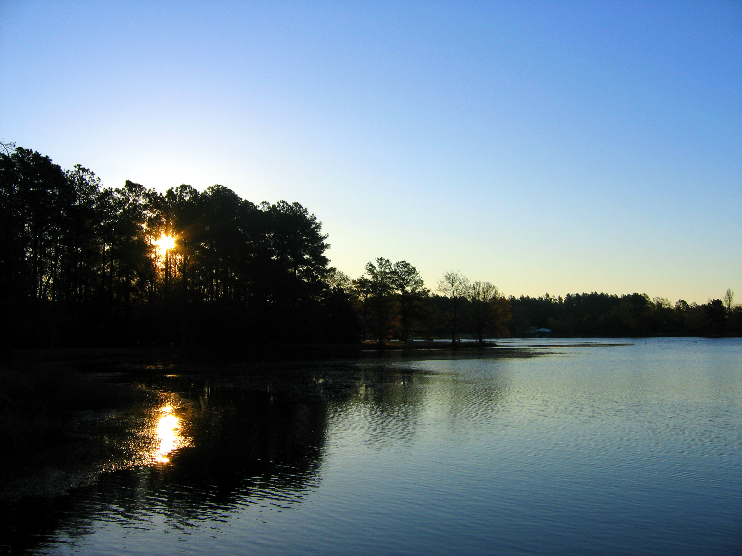
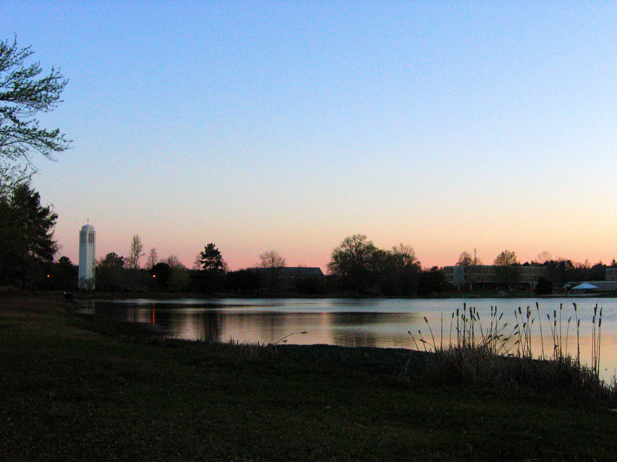
Sunrise and the Lake

The Lake, Some Dorms
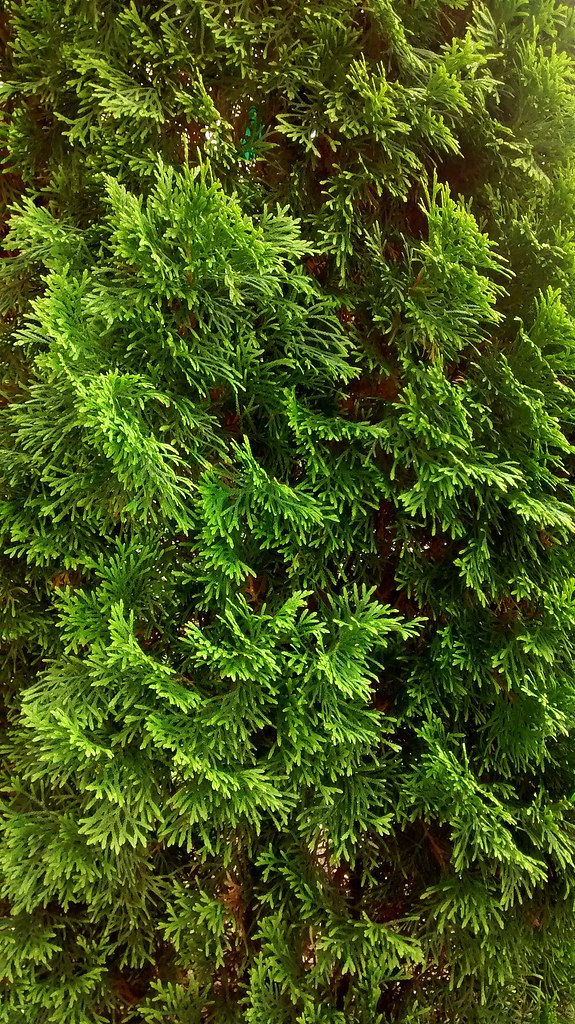
Pine Greenery.
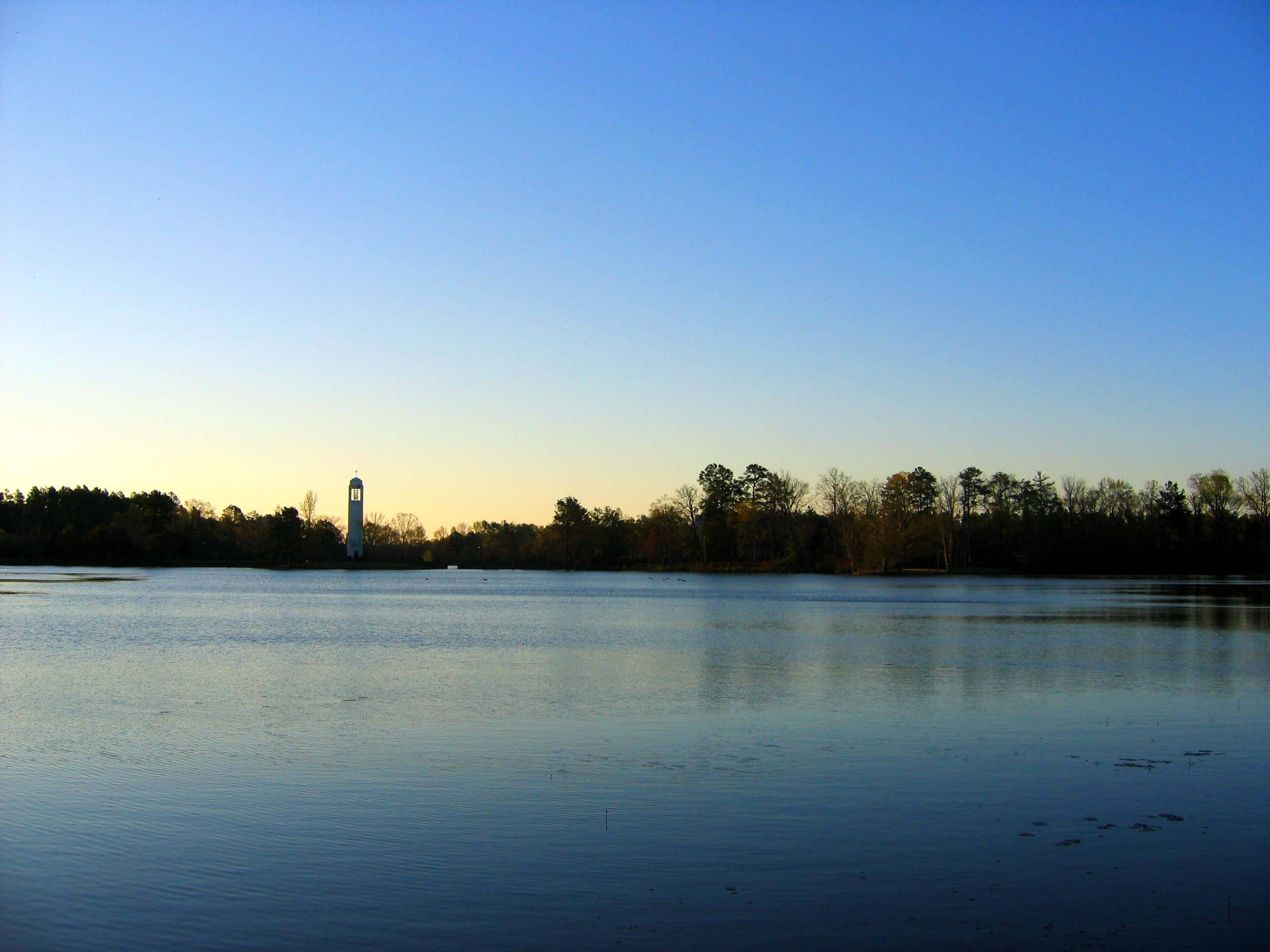
The Lake
Almost Forgot to Include the Belltower!
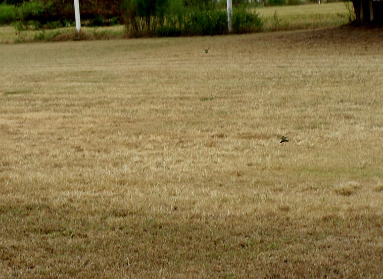
"Dog Fighting Hummingbirds"
Topographic Map of Gibson Rd, Laurinburg, NC, USA
Find elevation by address:

Places near Gibson Rd, Laurinburg, NC, USA:
911 W Scotsdale Rd
12701 Blues Farm Rd
Providence Rd, Laurinburg, NC, USA
X Way Rd, Laurinburg, NC, USA
Scotland County Memorial Library
Laurinburg
E Church St, Laurinburg, NC, USA
321 N Gill St
2200 Elm Ave
Sawdust Ln, Laurinburg, NC, USA
8040 Fletcher Rd
Barnes Bridge Rd, Laurinburg, NC, USA
Williamson
7841 Rockingham Rd
7960 Scotch Meadows Dr
Main St, Gibson, NC, USA
Gibson
4066 Pea Bridge Rd
Old Wire Rd, Laurel Hill, NC, USA
Lakeland Dr, Bennettsville, SC, USA
Recent Searches:
- Elevation of Pykes Down, Ivybridge PL21 0BY, UK
- Elevation of Jalan Senandin, Lutong, Miri, Sarawak, Malaysia
- Elevation of Bilohirs'k
- Elevation of 30 Oak Lawn Dr, Barkhamsted, CT, USA
- Elevation of Luther Road, Luther Rd, Auburn, CA, USA
- Elevation of Unnamed Road, Respublika Severnaya Osetiya — Alaniya, Russia
- Elevation of Verkhny Fiagdon, North Ossetia–Alania Republic, Russia
- Elevation of F. Viola Hiway, San Rafael, Bulacan, Philippines
- Elevation of Herbage Dr, Gulfport, MS, USA
- Elevation of Lilac Cir, Haldimand, ON N3W 2G9, Canada