Elevation of Old Wire Rd, Laurel Hill, NC, USA
Location: United States > North Carolina > Scotland County > Williamson > Laurel Hill >
Longitude: -79.63257
Latitude: 34.784332
Elevation: 82m / 269feet
Barometric Pressure: 100KPa
Elevation Map:
Satellite Map:
Related Photos:
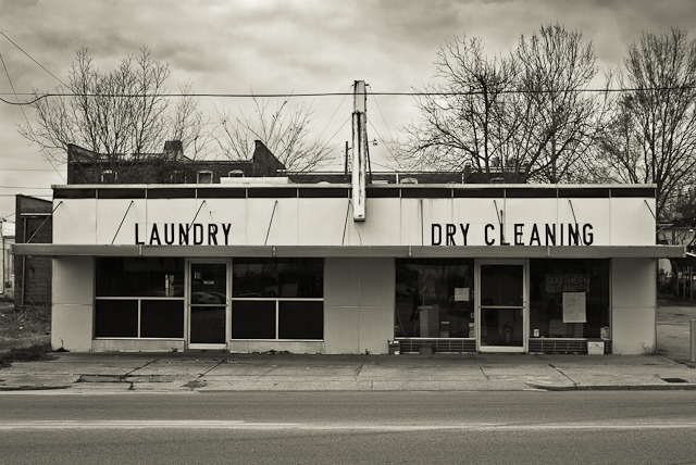
SOUTHERN CLEANERS

Vending Machine Repair, Richmond Technical College, 1982

Ida Yarn Mill, Laurel Hill, NC
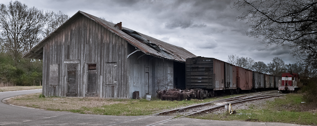
FORGOTTEN FREIGHT

Sunrise at the Farm

IMG_3040.CR2
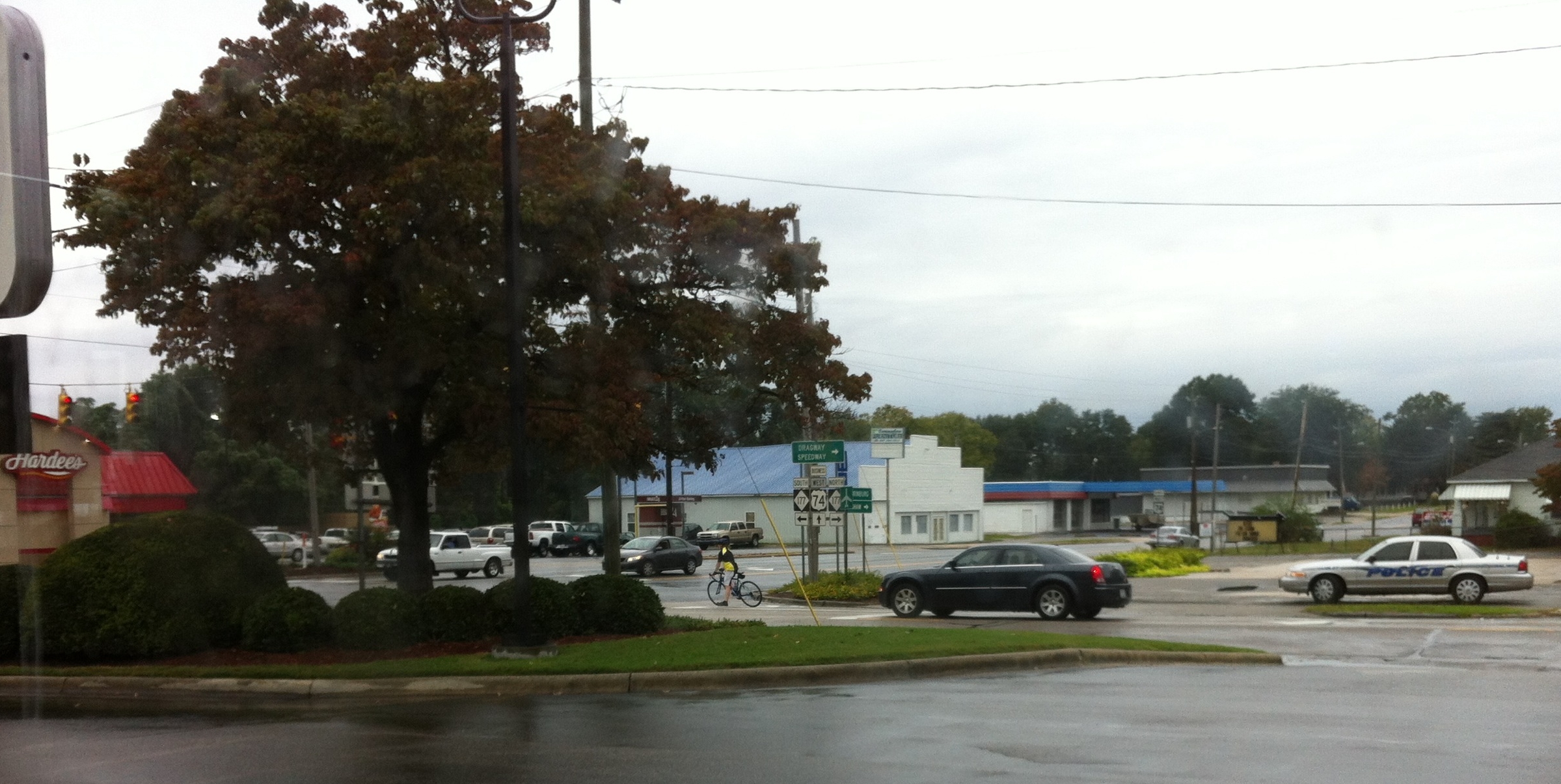
Rainy day view from Burger King

CRW_9601_edited-1

The green, green grass of home in Laurinburg, NC. #home #grass #road2imaging @ourppa @imagingusa

Moon/Landscape Images

Pine Greenery.

The Lake, Some Dorms
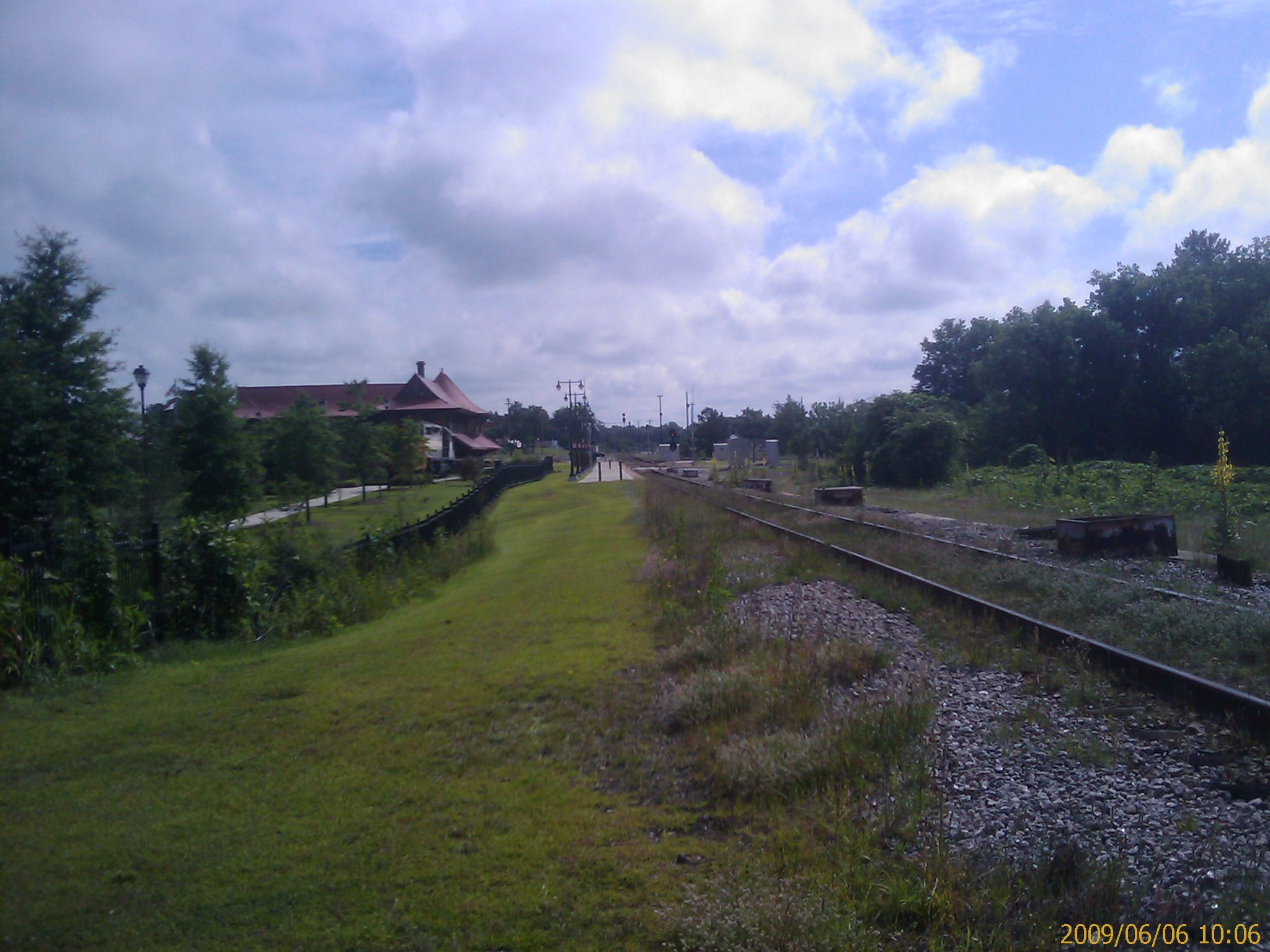
Hamlet, NC from south of the station
"Dog Fighting Hummingbirds"
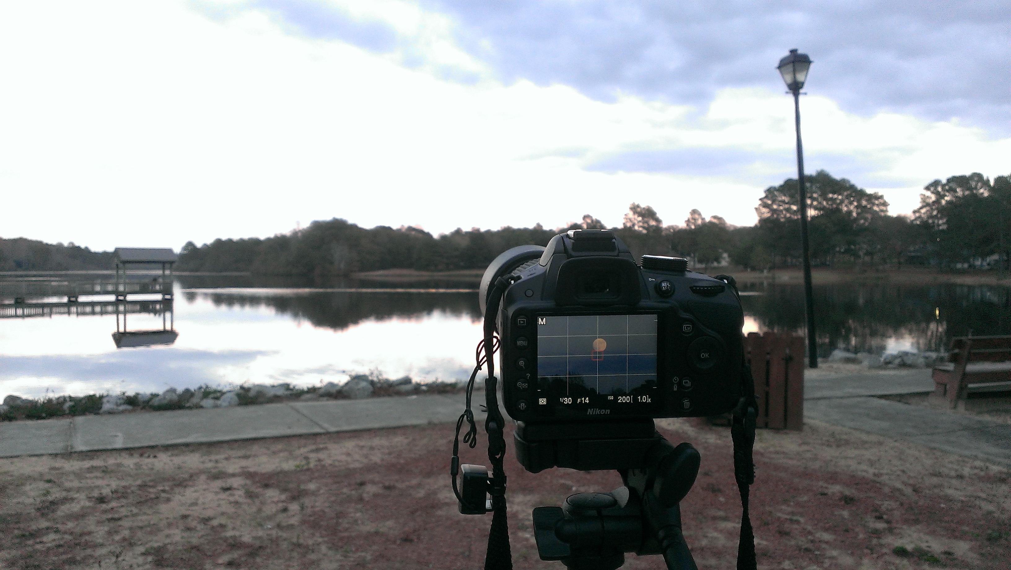
Moon/Landscape Images
Topographic Map of Old Wire Rd, Laurel Hill, NC, USA
Find elevation by address:

Places near Old Wire Rd, Laurel Hill, NC, USA:
Gibson
Main St, Gibson, NC, USA
Williamson
7841 Rockingham Rd
8040 Fletcher Rd
X Way Rd, Laurinburg, NC, USA
Gibson Rd, Laurinburg, NC, USA
12701 Blues Farm Rd
Providence Rd, Laurinburg, NC, USA
911 W Scotsdale Rd
7960 Scotch Meadows Dr
2200 Elm Ave
Lakeland Dr, Bennettsville, SC, USA
Barnes Bridge Rd, Laurinburg, NC, USA
State Rd S-35-, Bennettsville, SC, USA
Scotland County Memorial Library
Laurinburg
E Church St, Laurinburg, NC, USA
321 N Gill St
Sawdust Ln, Laurinburg, NC, USA
Recent Searches:
- Elevation of Zimmer Trail, Pennsylvania, USA
- Elevation of 87 Kilmartin Ave, Bristol, CT, USA
- Elevation of Honghe National Nature Reserve, QP95+PJP, Tongjiang, Heilongjiang, Jiamusi, Heilongjiang, China
- Elevation of Hercules Dr, Colorado Springs, CO, USA
- Elevation of Szlak pieszy czarny, Poland
- Elevation of Griffing Blvd, Biscayne Park, FL, USA
- Elevation of Kreuzburger Weg 13, Düsseldorf, Germany
- Elevation of Gateway Blvd SE, Canton, OH, USA
- Elevation of East W.T. Harris Boulevard, E W.T. Harris Blvd, Charlotte, NC, USA
- Elevation of West Sugar Creek, Charlotte, NC, USA