Elevation of Woodsville, Haverhill, NH, USA

Location: United States > New Hampshire > Grafton County > Haverhill >

Longitude: -72.036718

Latitude: 44.1512867

Elevation: 140m / 459feet

Barometric Pressure: 100KPa

Elevation Map:

elevation map of Woodsville, Haverhill, NH, USA

Satellite Map:

Satellite map of Woodsville, Haverhill, NH, USA

Related Photos:

bridge bath newhampshire nh covered swiftwater
Broken Bridge
epsonv500 vermont farm redbarn newburyvermont geotagged
An Old New England Farm in Vermont - 1985
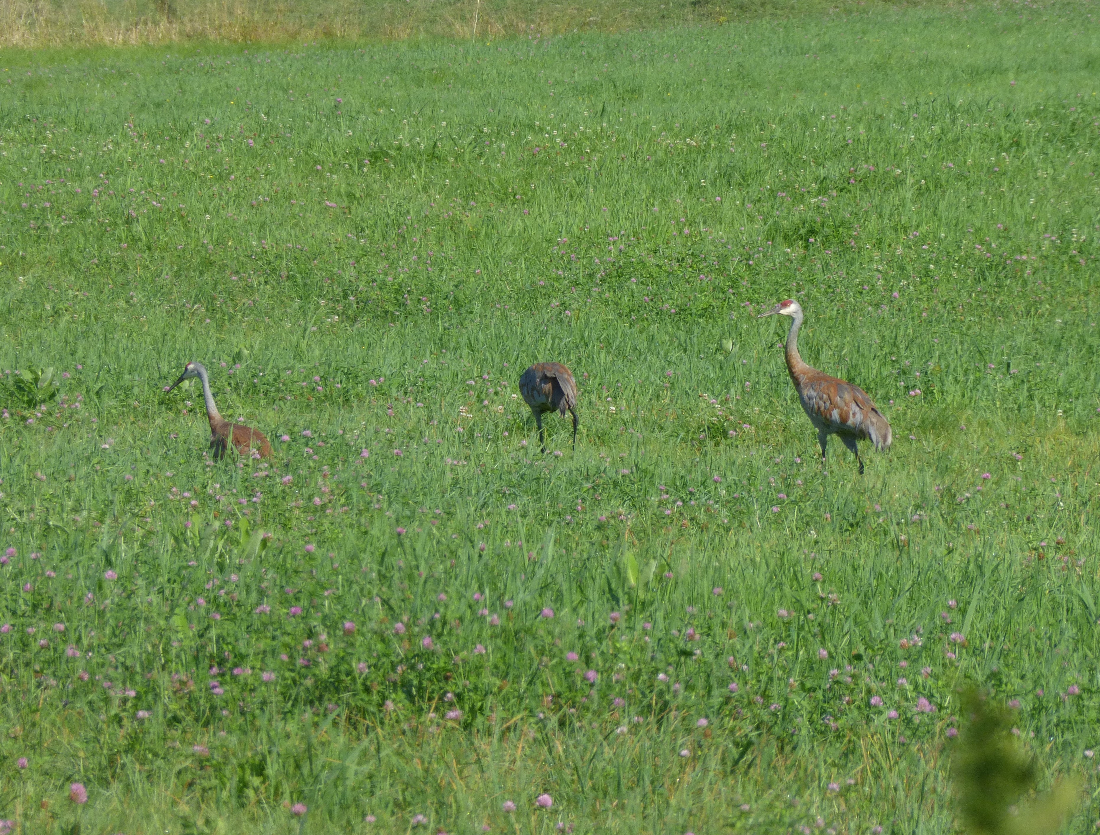
birds crane newhampshire aves sandhillcrane rarity gruscanadensis
Sandhill Cranes!
Black Mountain Trail View
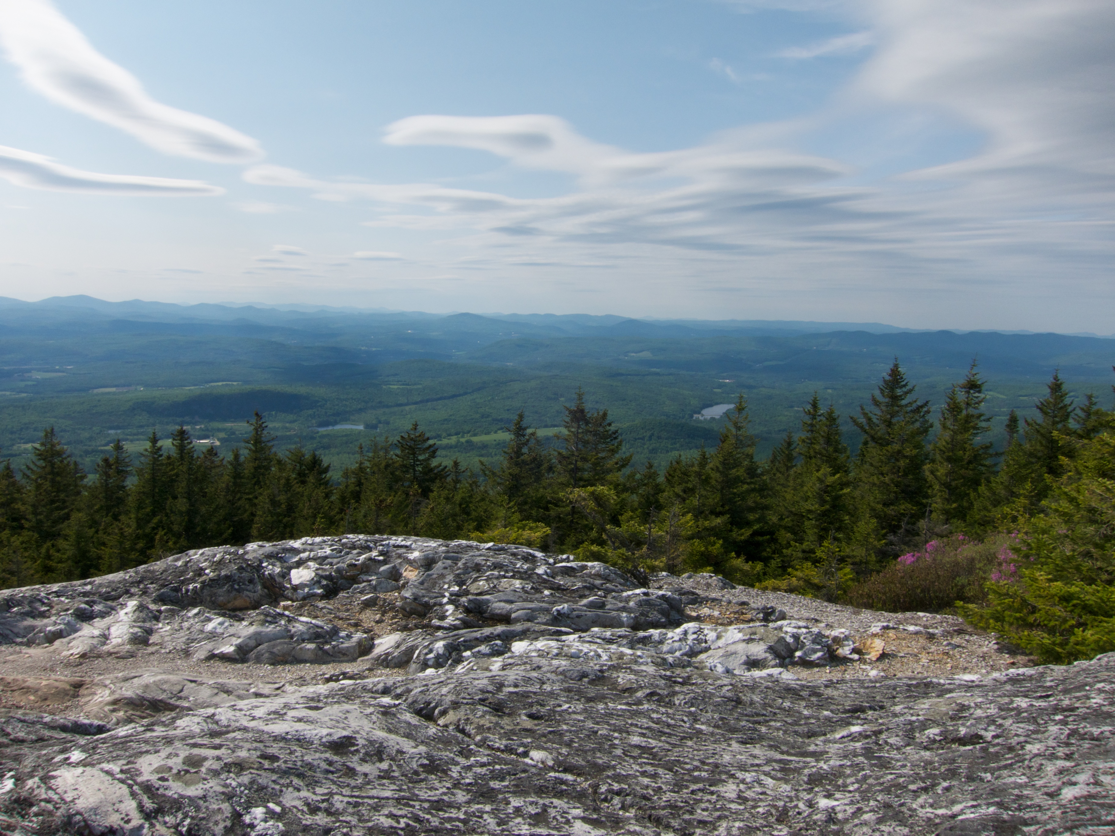
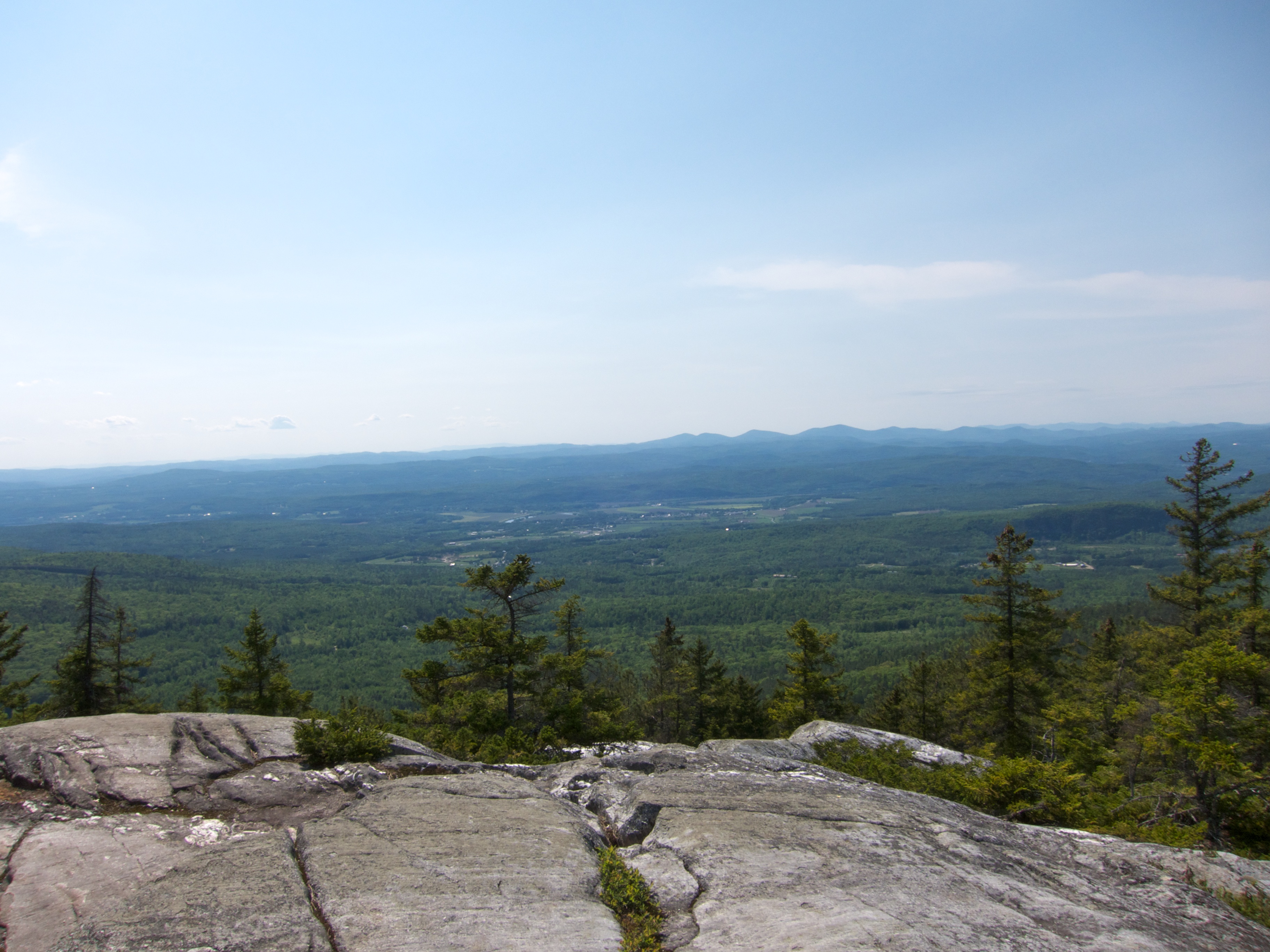
Summit View on Black Mountain
South View on Black Mountain
Black Mountain
travel autumn fall horizontal architecture landscape flow outdoors waterfall colorful vermont glow seasons scenic newengland newhampshire nobody historic foliage textures northamerica dreamy daytime quaint woodenbridge coveredbridges fineartphotography ammonoosucriver nationalregisterofhistoricplaces highangleview riversandcreeks buildingexteriors bridgestructures bathcoveredbridge
Bath Covered Bridge Entrance View, Bath, New Hampshire
summer hiking newhampshire haverhill benton beaverpond chippewatrail bentonrange
Sugarloaf Mountain through the mist
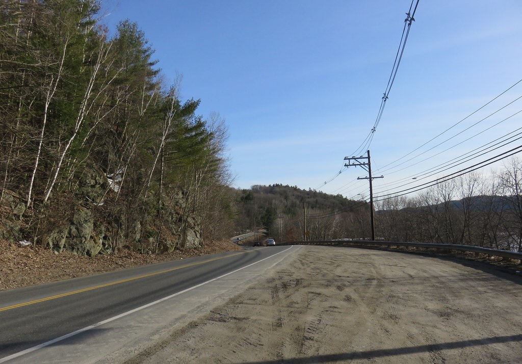
bridge landscape bath newhampshire nh coveredbridge
Bath, NH
sky mountains field rural woods view scenic newengland newhampshire nh farmland foliage pasture fields haverhill mountmoosilaukee
Cow Pasture and Mount Moosilauke
hiking chippewatrail bentonrange blackmountain newhampshire
View From Black Mountain
newbury vermont shapenotemusic connexionalldaysinging ingallsbicentenial 05051
Another View of the Church
hiking newhampshire blackmountain chippewatrail bentonrange
View From Black Mountain
newbury vermont shapenotemusic connexionalldaysinging ingallsbicentenial 05051
From the Green
hiking newhampshire blackmountain chippewatrail bentonrange
View From Black Mountain
river vermont bb conneticutriver maplemont maplemontbedandbreakfast
CT river view from the B & B
hiking newhampshire blackmountain chippewatrail bentonrange
View From Black Mountain
hiking newhampshire blackmountain chippewatrail bentonrange
View From Black Mountain
hiking newhampshire blackmountain chippewatrail bentonrange
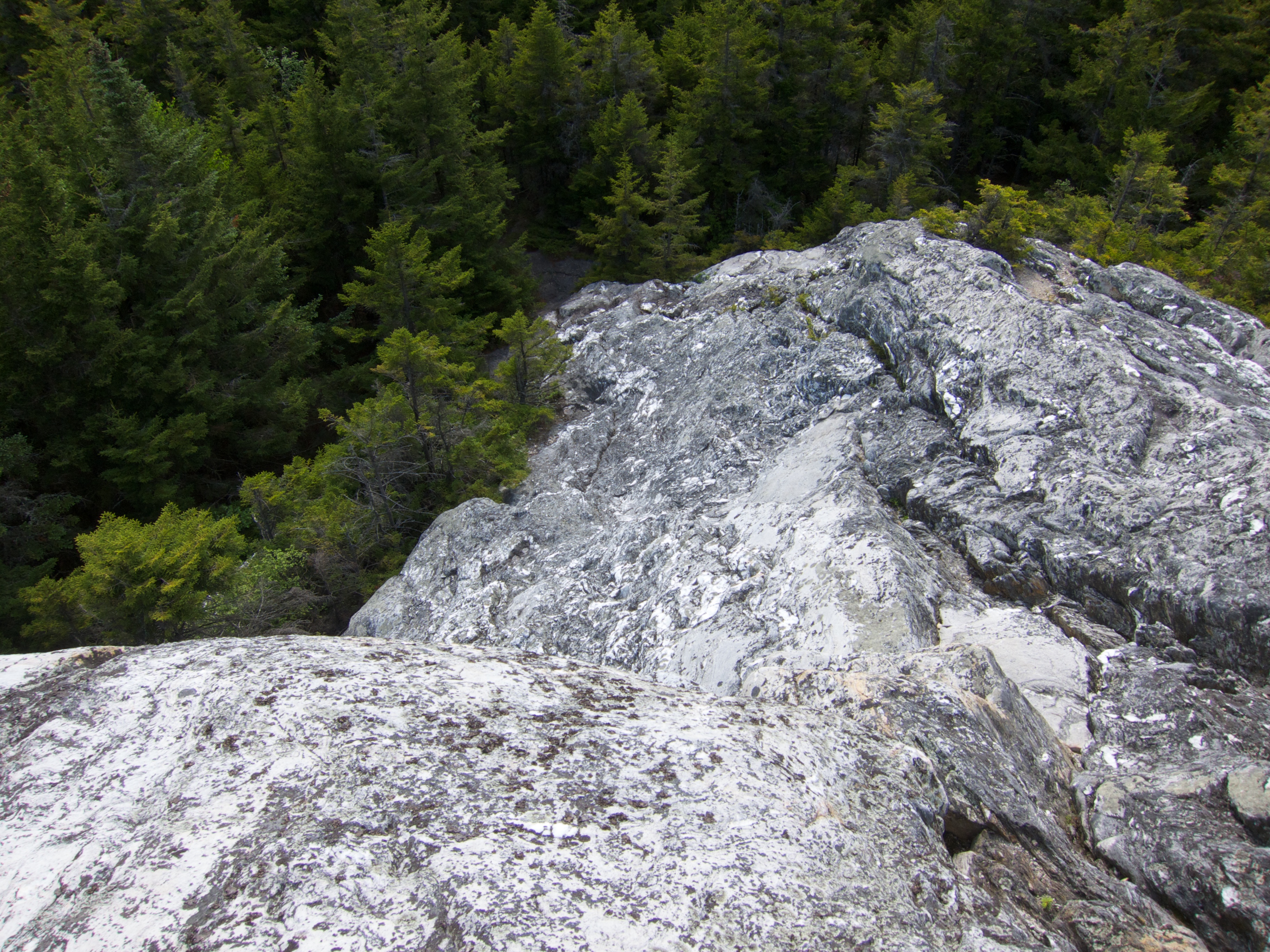
View Down Black Mountain
hiking newhampshire blackmountain chippewatrail bentonrange
View From Black Mountain
ammonoosucriver bathhaverhillcoveredbridge landscape reflection sky clouds cloudporn skyporn nature waterscape water river blackandwhite monochrome bw nikon d610 2018g woodsville newhampshire nh unitedstatesofamerica usa bathhaverhill fav10 fav25 fav50
Ammonoosuc River
2019 bath canon canon5dmarkiv canonef2470mmf28liiusm davetrono nh newengland newhampshire pettibororoad pettybororoad whitemountfarm barn clouds farm farmhouse geotagged hills house landscape red redbarn rural shed snow trees winter unitedstates us
Whitemount Farm, New Hampshire
bath nh newhampshirenew england autumn 2020 fall light sunlight leaves canon eos pro october pretty landscape season
Autumn in New Hampshire
2019 bath canon canon5dmarkiv canonef2470mmf28liiusm davetrono lyman nh newengland newhampshire pettibororoad pettybororoad thebrickstore barn geotagged road rural shack snow snowstorm trees winter unitedstates us sky landscape
New Hampshire Barns
haverhillbathcoveredbridge haverhillbath coveredbridge historic history ammonoosucriver woodsville bath newhampshire nh unitedstatesofamerica usa historicplace old landscape light nikon d610 2018g haverhill fav10 fav25
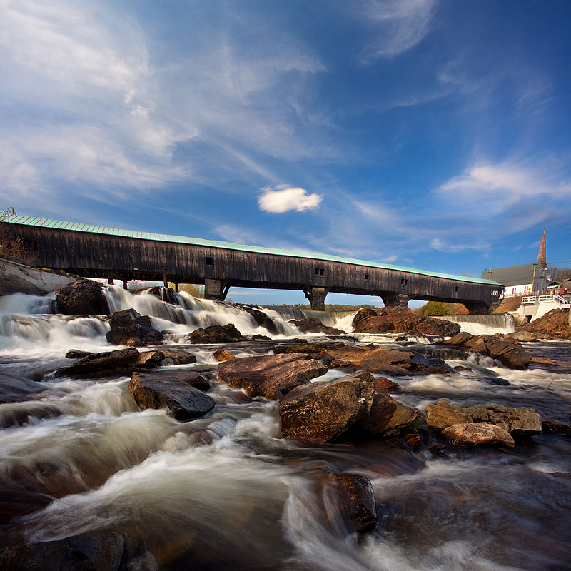
Haverhill-Bath Covered Bridge
2019 canon canon5dmarkiv canonef2470mmf28liiusm davetrono lyman nh newengland newhampshire barn gaspump geotagged hills landscape red redbarn rural snow snowfall snowstorm streetsign winter unitedstates us tree sky backroads
Red Barn in New Hampshire
fall water landscape scenery newengland newhampshire rivers ammonoosucriver lisbonnh
Still a little fall left in Lisbon, NH
us vermont bradford unitedstates hiking wrightsmountain wrightsmountaintrail
Wright’s Mountain
bathcoveredbridge bath newhampshire usa unitedstates outdoors nature landscape architecture structure bridge coveredbridge rocks river town bwfilters leefilters nikon nikond610 tscolors
Bath Covered Bridge
newhampshire nh graftoncounty haverhilltown landscapes newengland northamerica unitedstates us
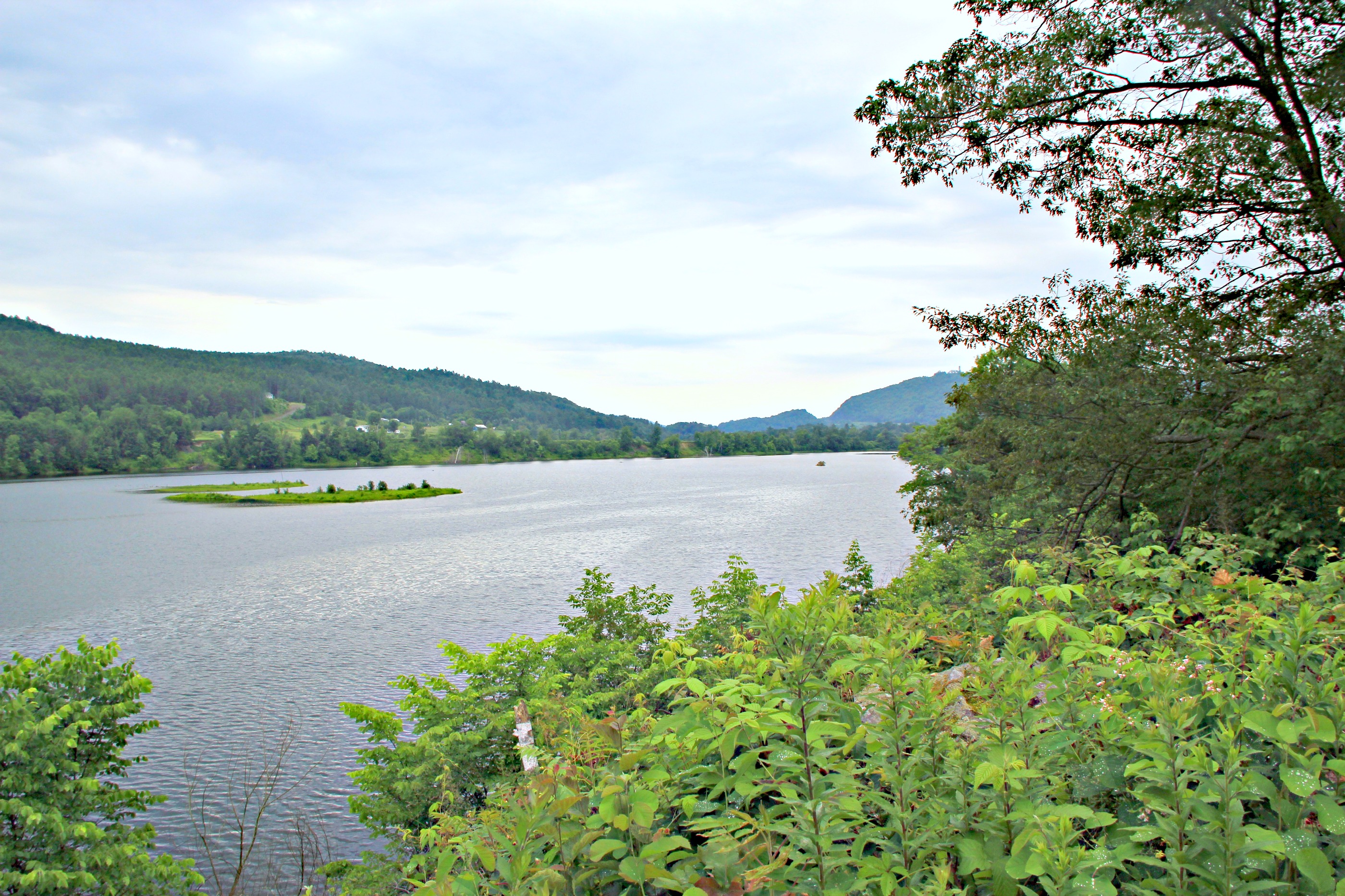
Connecticut River Valley (Haverhill Town, New Hampshire)
fall newhampshire favorites 2006 rivers wildammonoosucriver swiftwatercoveredbridge
Swiftwater Covered Bridge
us vermont bradford unitedstates hiking wrightsmountain wrightsmountaintrail
Wright’s Mountain
2016 canon canon6d canonef2470mmf28liiusm davetrono lisbon nh newengland newhampshire pearllake pearllakeroad scotlandroad autumn fall fallcolors fallfoliage foliage geotagged lake landscape trees
Autumn at Pearl Lake
newhampshire places bath covered bridge bathhaverhill ammonoosuc river
Bath-Haverhill Covered Bridge
park horses nature rural fence outside spring scenery outdoor newengland newhampshire dramatic overcast whitemountains nh hdr filtered landscaoe 2013
Lost River Road
vermont newengland
Connecticut River, Wells River, Vermont
statepark bridge ruin newhampshire coveredbridge connecticutriver grafton nationalregister nationalregisterofhistoricplaces bedellcoveredbridge
Bedell Covered Bridge- Grafton County NH (3)