Elevation of White Mountain Dr, Woodsville, NH, USA
Location: United States > New Hampshire > Grafton County > Haverhill >
Longitude: -71.956121
Latitude: 44.1230903
Elevation: 249m / 817feet
Barometric Pressure: 98KPa
Elevation Map:
Satellite Map:
Related Photos:
Bath, NH

First "View" above Treeline

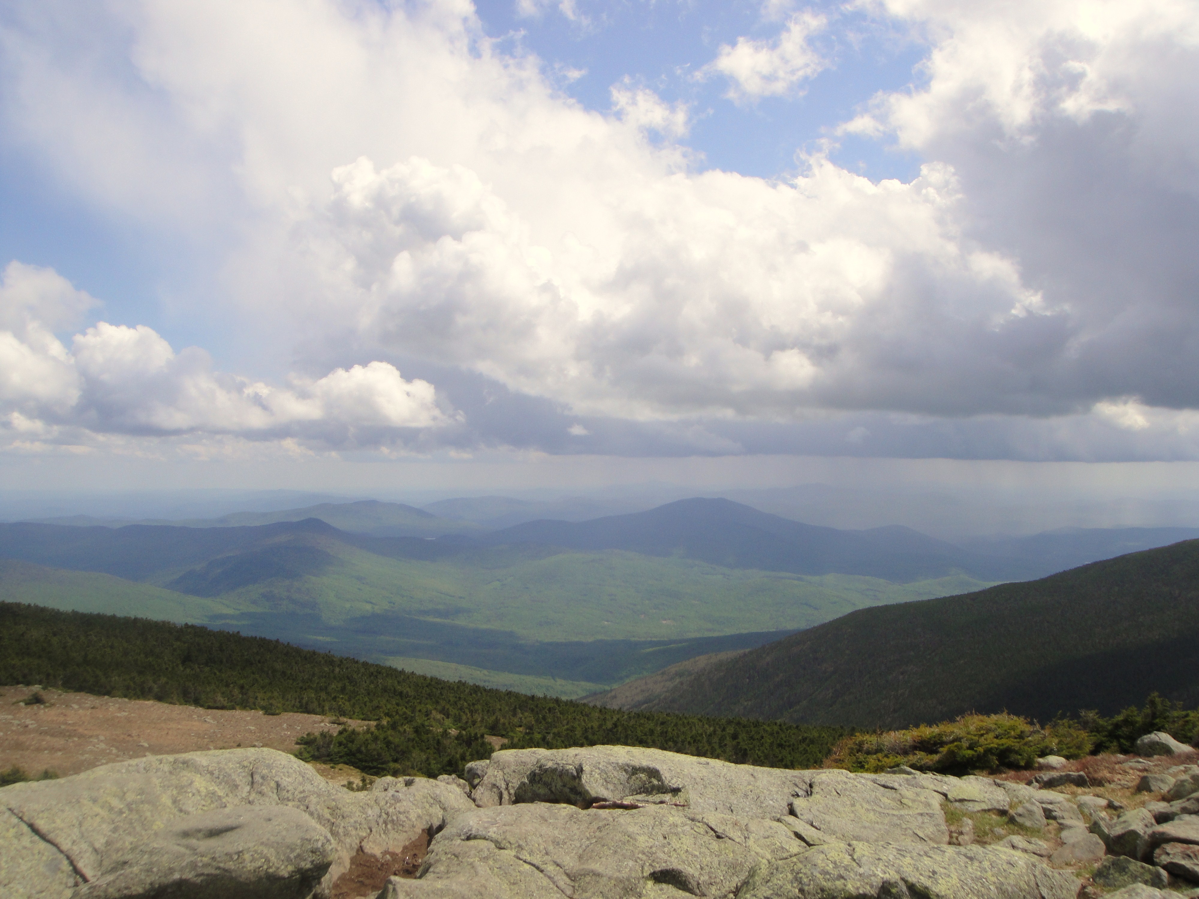
View to the South from the Summit of Mt. Moosilauke
Borders of NH
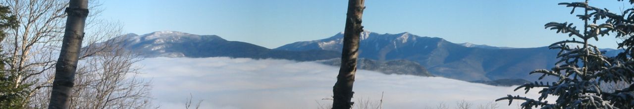
View to the East from the Beaver Brook Shelter (panorama)
Gap in the trees
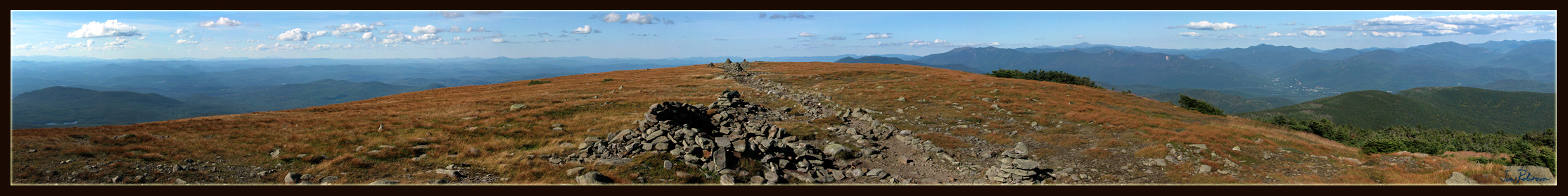
180 degree view from the top of Mount Moosilauke NH
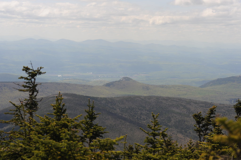
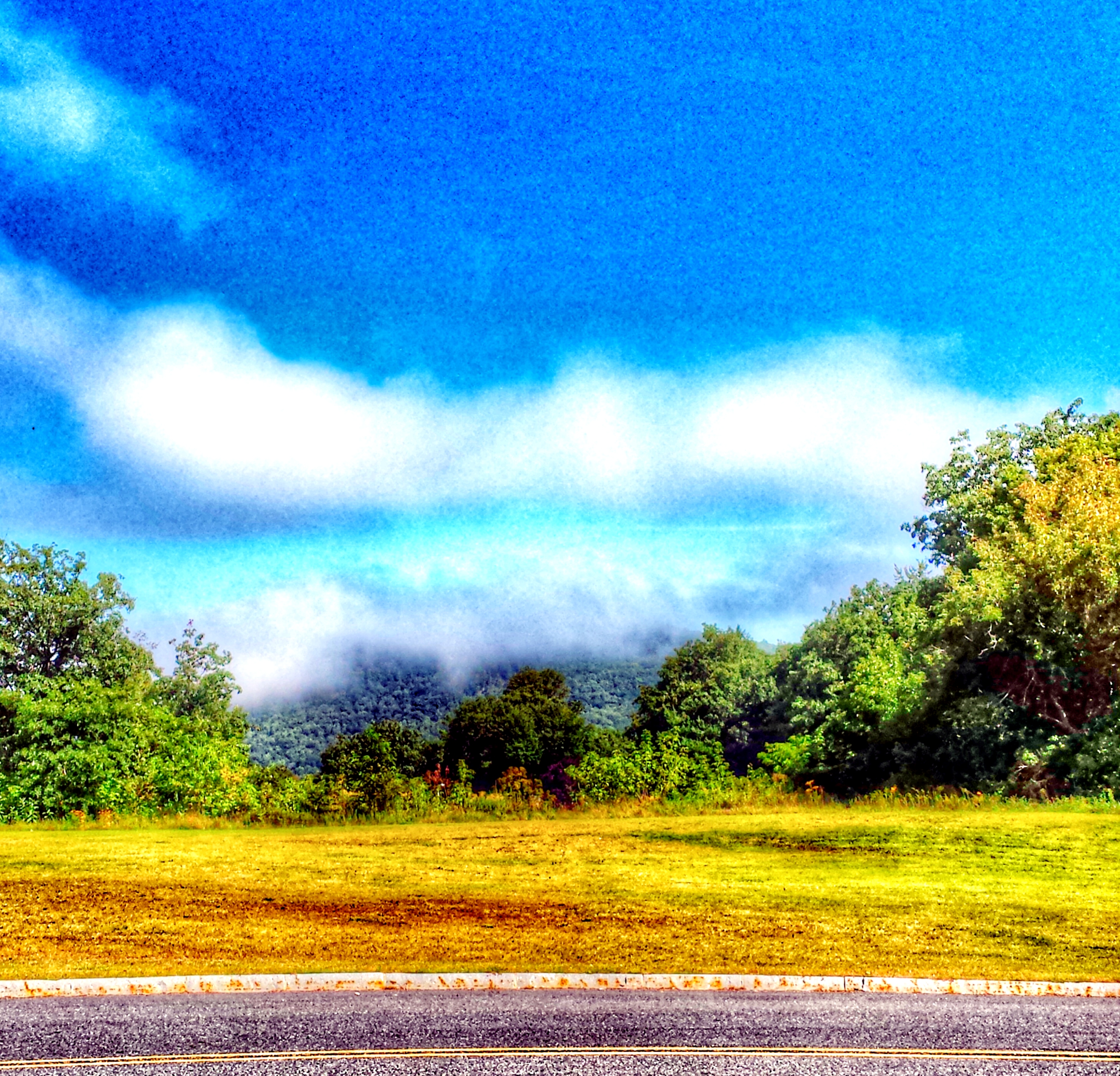
Distant haze
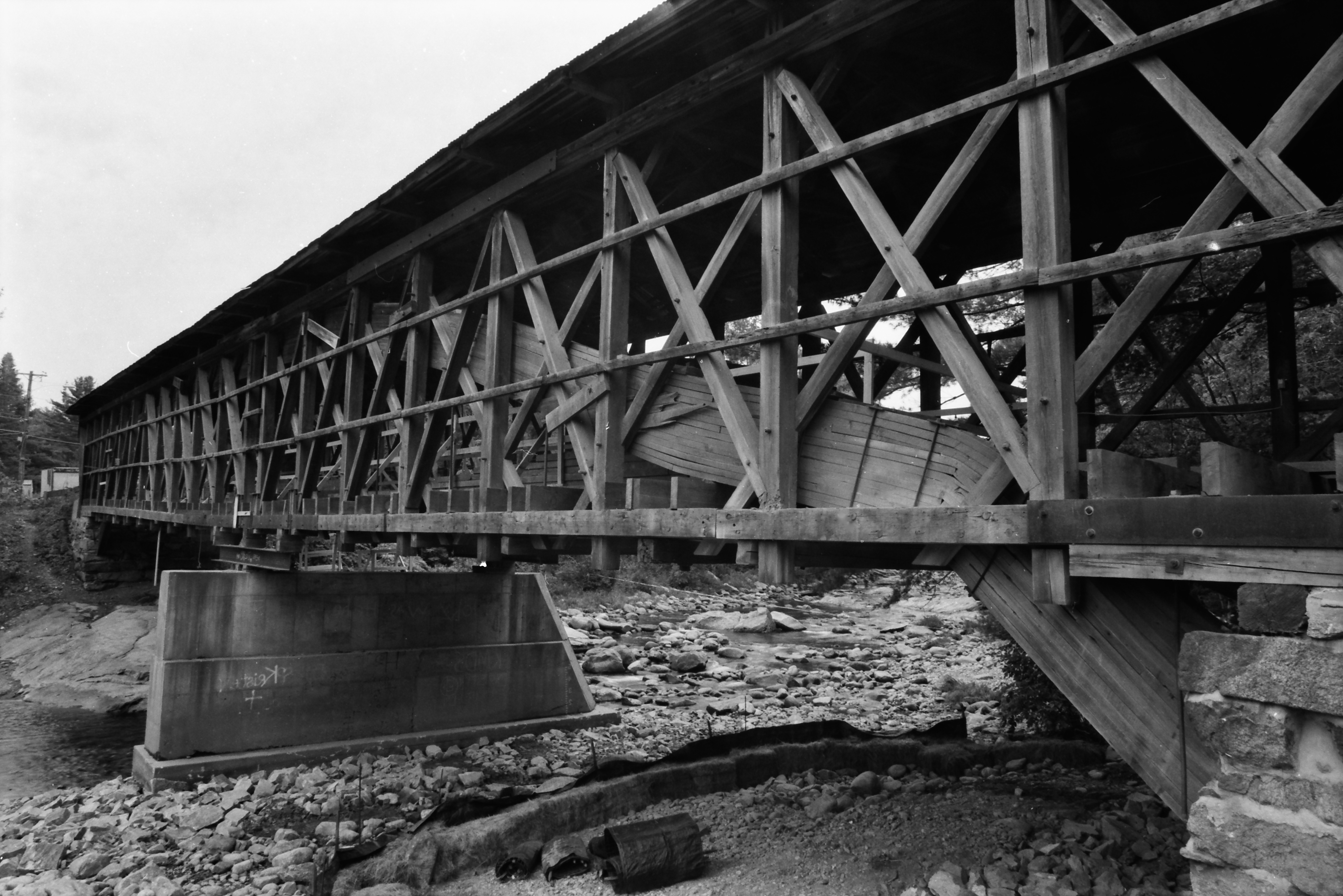
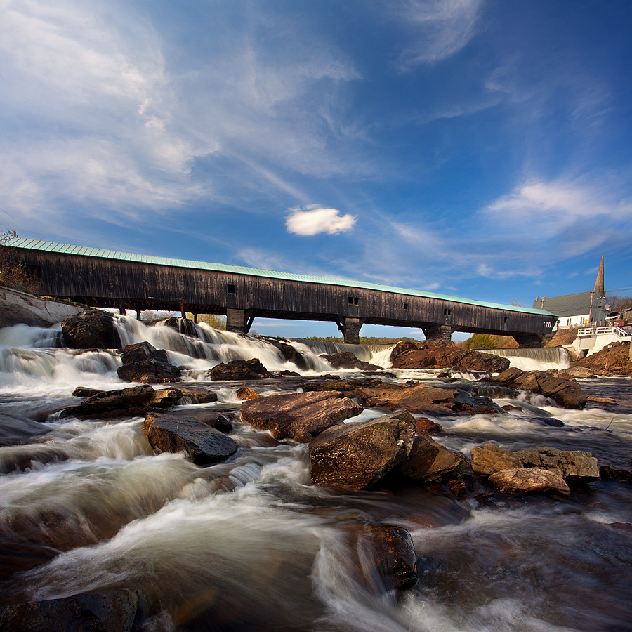
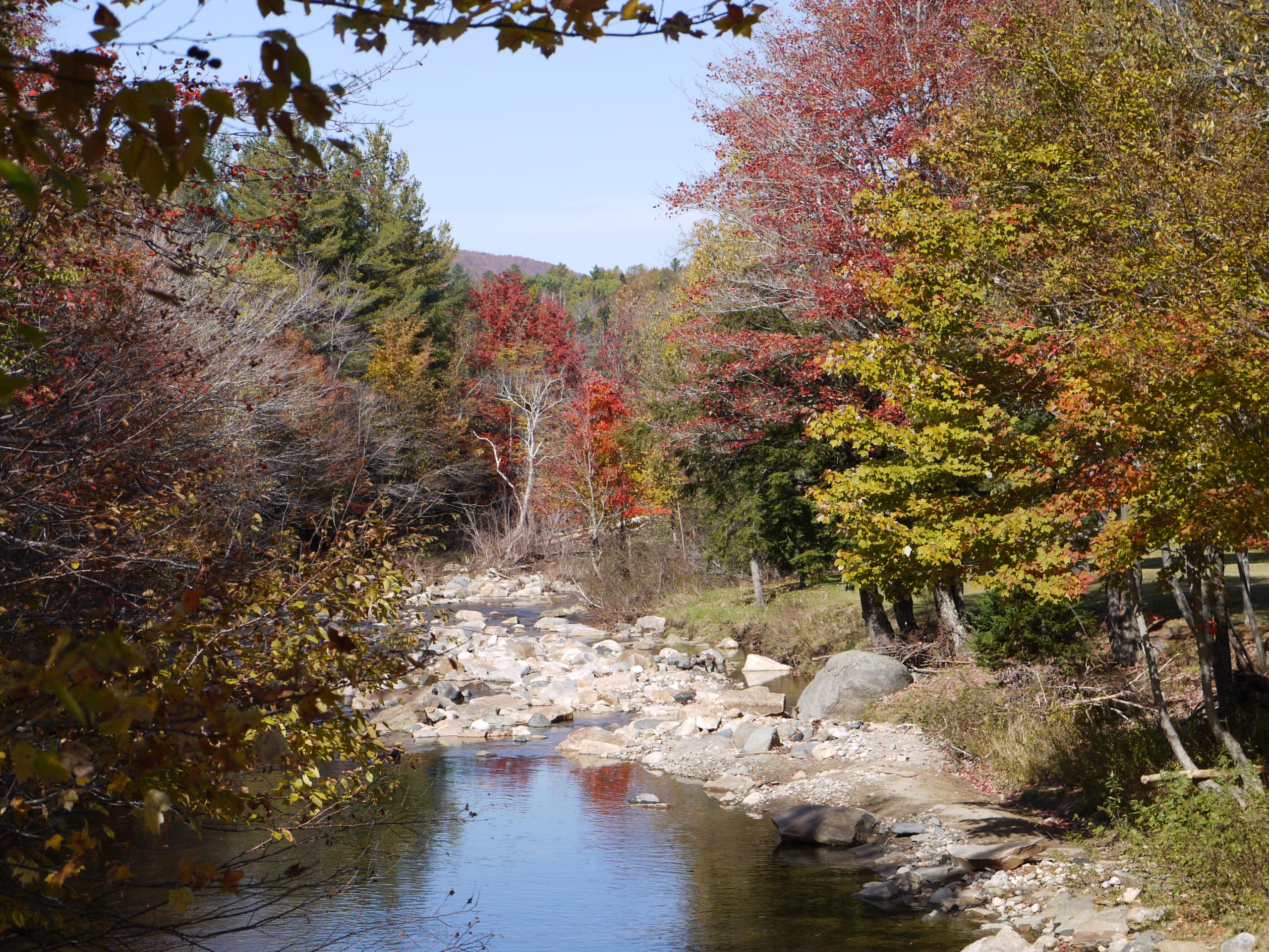
Broken Bridge

View From Black Mountain
Sugarloaf Mountain through the mist

View From Black Mountain

Beautiful View from Kinsman Notch
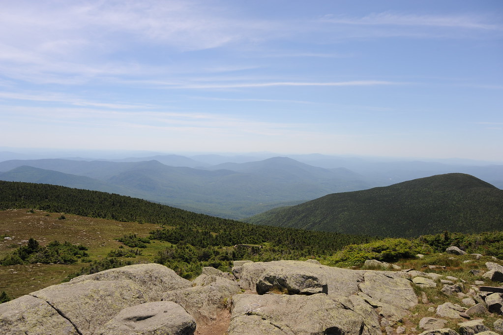
View From Mount Moosilauke
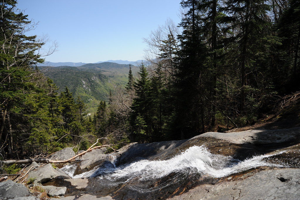
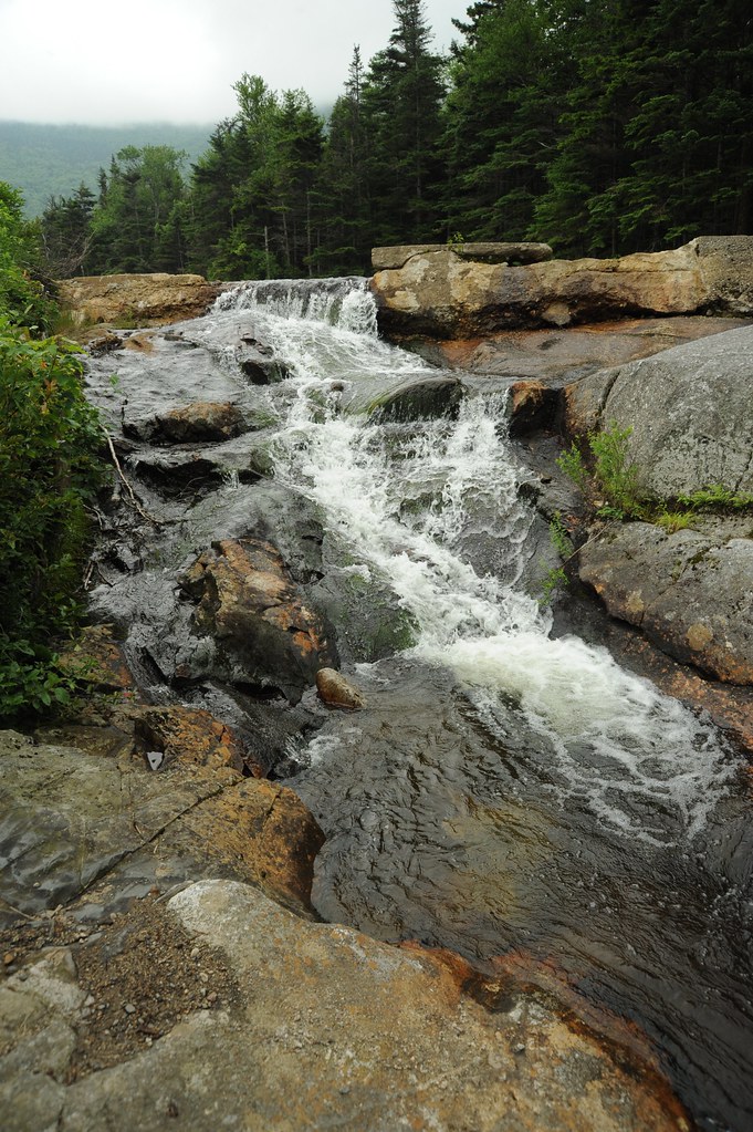
A long slide to the bottom
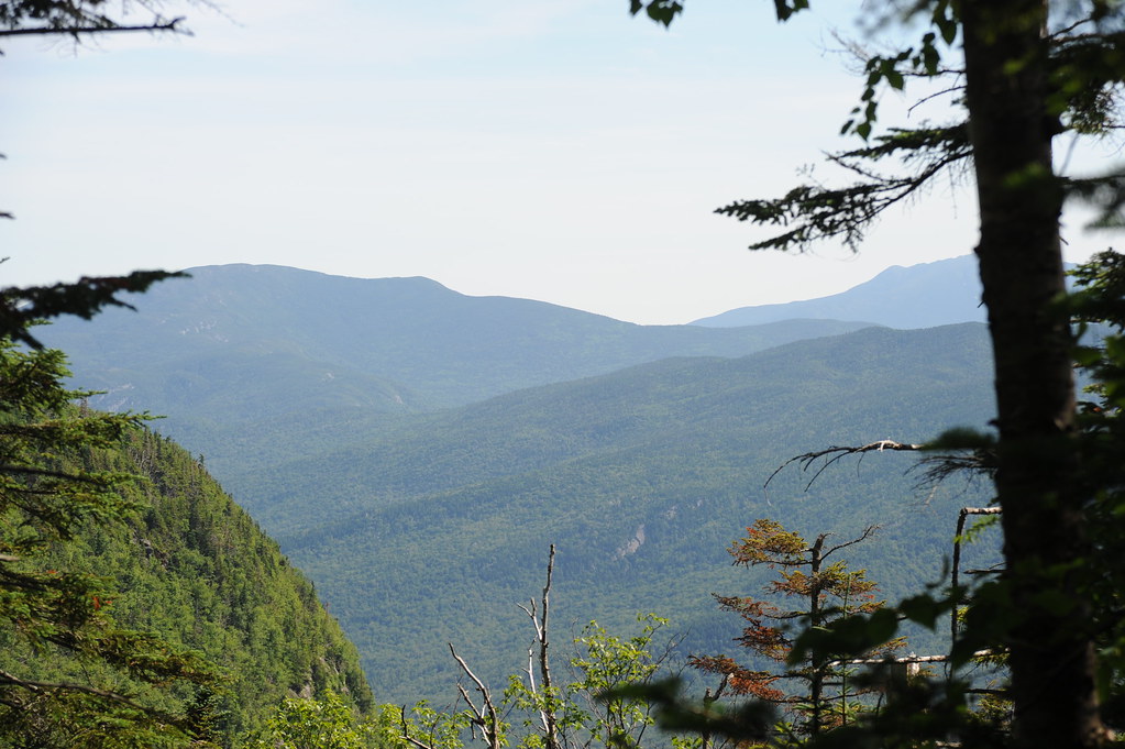
More mountains
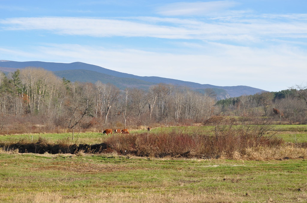
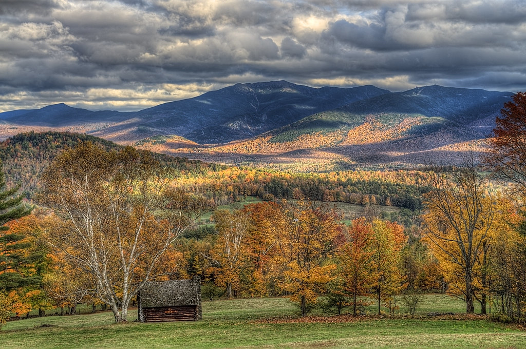
Cow Pasture and Mount Moosilauke
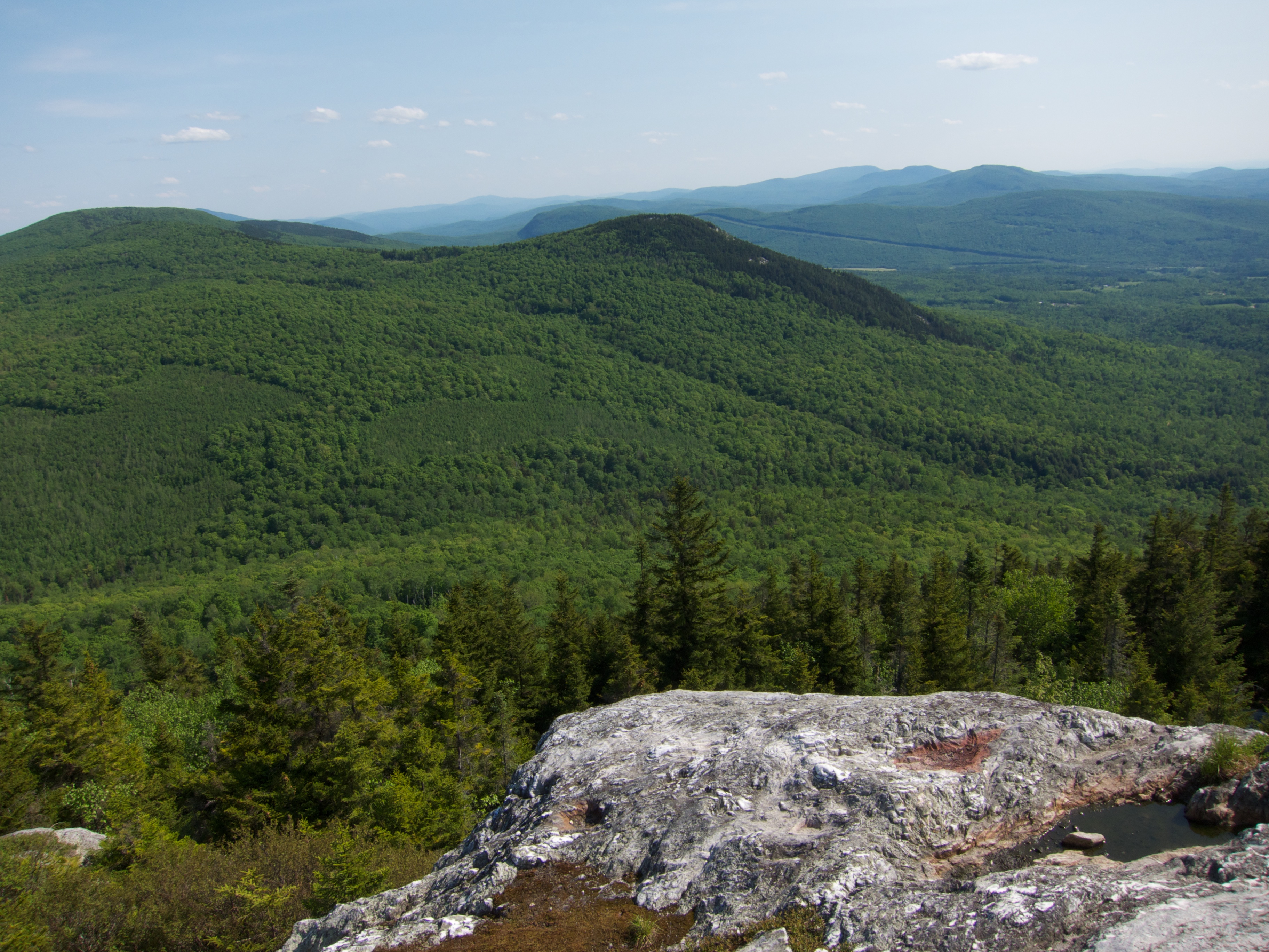
View From Black Mountain

Mount Moosilauke Carriage Road

View From Black Mountain
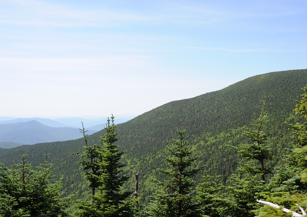
More trees

HVAR5014.jpg

Still a little fall left in Lisbon, NH

A reminder of warmer days

The summit of Mt. Moosilauke, about...
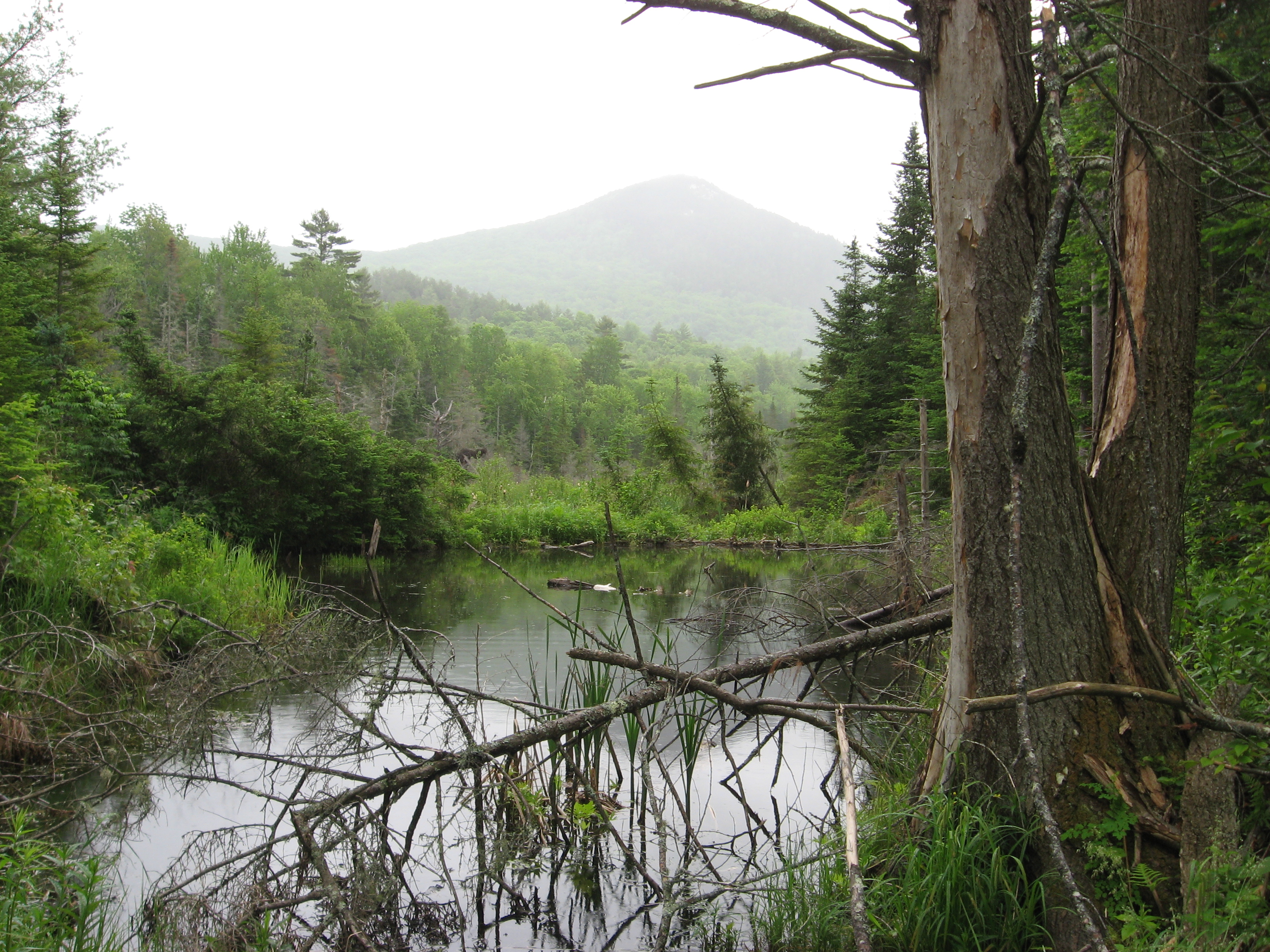
Beaver Pond, White Mountains, New Hampshire
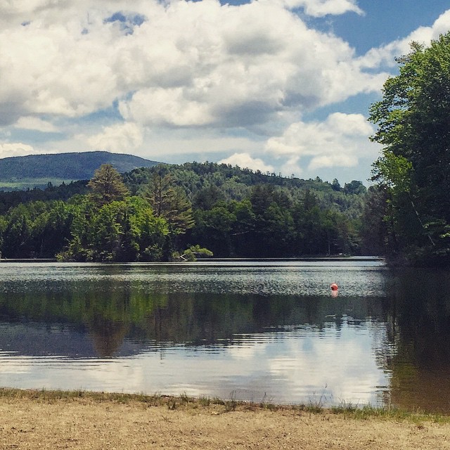
My happy place #newhampshire
sweet as sugar
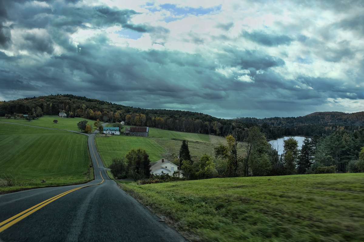
"LOW CLOUDS" Vermont
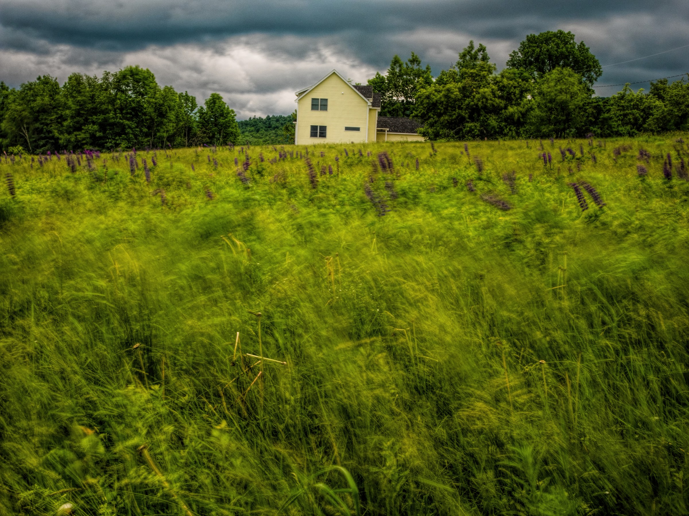
Lupines/Wind, Sugar Hill, NH
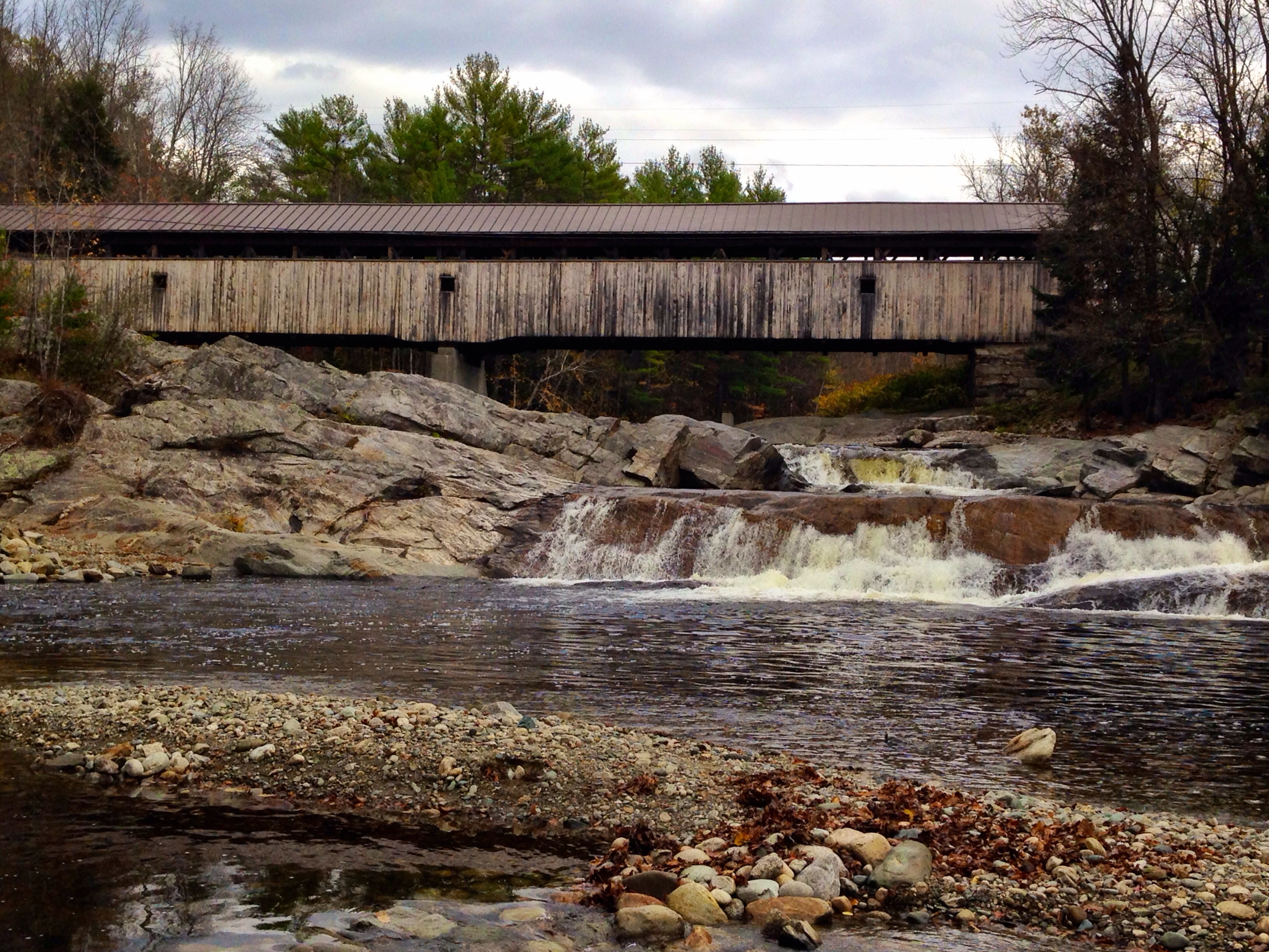
Covered Bridge
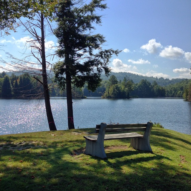
My favorite fishing spot

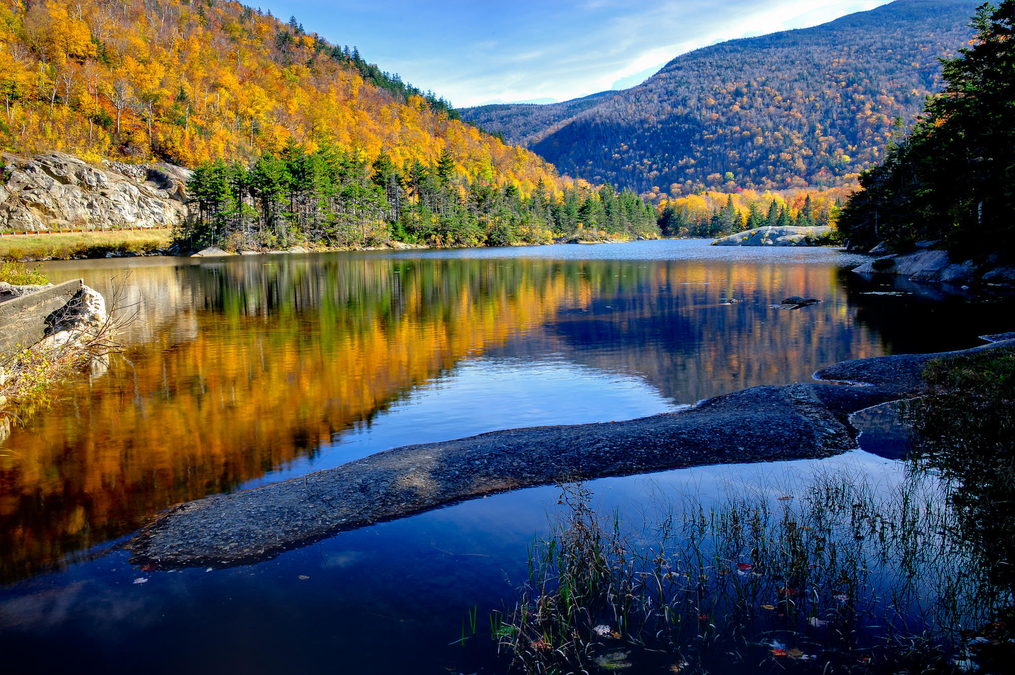
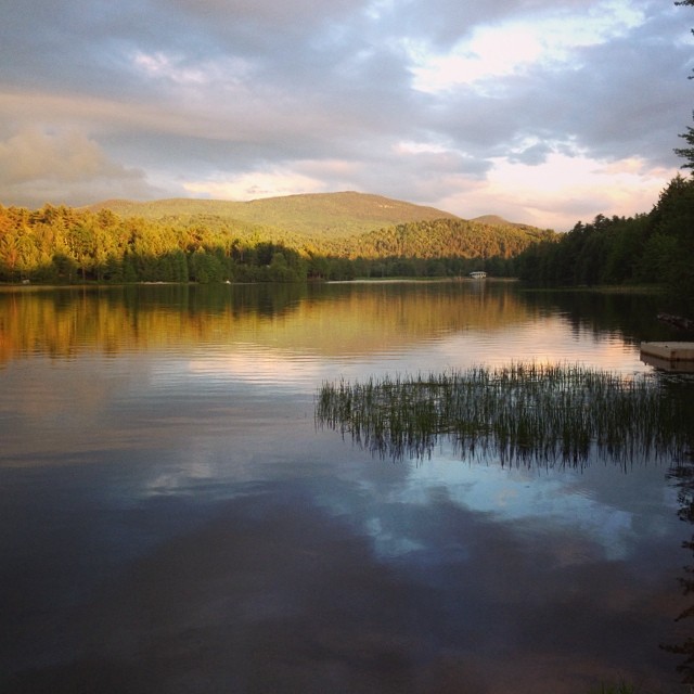
White Mountain Reflections

IMG_6522.jpg
'Morning. #woodsville #mountainlakes #newhampshire #labordayweekend

Beaver Pond
20111009-161911_P1020323

Ruby Throated Hummingbird
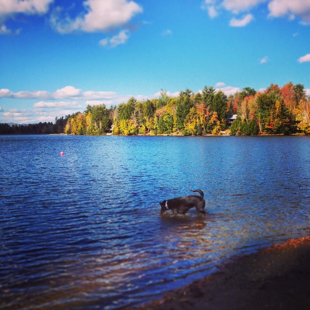
Andy is always ready for a swim! #fall

hdr_00012_1.jpg
Beaver Pond
Topographic Map of White Mountain Dr, Woodsville, NH, USA
Find elevation by address:

Places near White Mountain Dr, Woodsville, NH, USA:
Straford Drive
253 Hill Rd
24 Lisbon Rd
Bath
285 Lisbon Rd
230 Pettyboro Rd
Mill Brook Road
77 Center Hill Rd
860 Jockey Hill Rd
Woodsville
Landaff
Clough Road
486 Lang Rd
Wells River
Lisbon
1048 Us-302
1048 Us-302
Water Street
Lyman
East Ryegate
Recent Searches:
- Elevation of Rojo Ct, Atascadero, CA, USA
- Elevation of Flagstaff Drive, Flagstaff Dr, North Carolina, USA
- Elevation of Avery Ln, Lakeland, FL, USA
- Elevation of Woolwine, VA, USA
- Elevation of Lumagwas Diversified Farmers Multi-Purpose Cooperative, Lumagwas, Adtuyon, RV32+MH7, Pangantucan, Bukidnon, Philippines
- Elevation of Homestead Ridge, New Braunfels, TX, USA
- Elevation of Orchard Road, Orchard Rd, Marlborough, NY, USA
- Elevation of 12 Hutchinson Woods Dr, Fletcher, NC, USA
- Elevation of Holloway Ave, San Francisco, CA, USA
- Elevation of Norfolk, NY, USA