Elevation of US-, Wells River, VT, USA
Location: United States > Vermont > Orange County > Newbury > Wells River >
Longitude: -72.064434
Latitude: 44.1495674
Elevation: 170m / 558feet
Barometric Pressure: 99KPa
Elevation Map:
Satellite Map:
Related Photos:
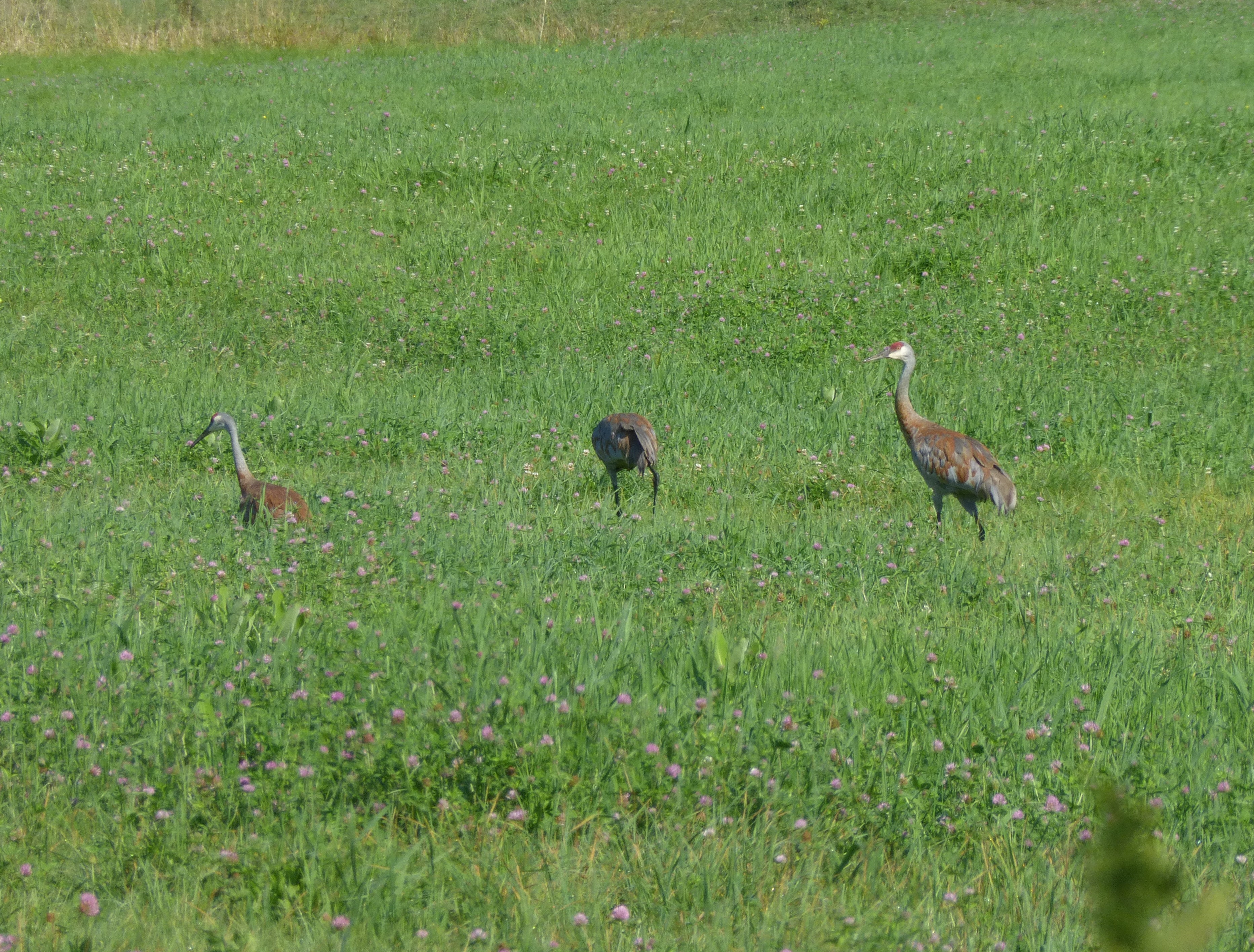
Sandhill Cranes!

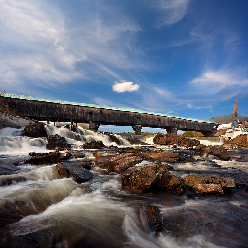
Broken Bridge

Bath Covered Bridge Entrance View, Bath, New Hampshire

Sugarloaf Mountain through the mist
Bath, NH

Cow Pasture and Mount Moosilauke

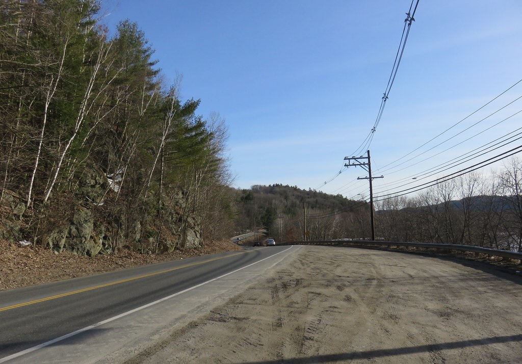
91NB-Exit16-17

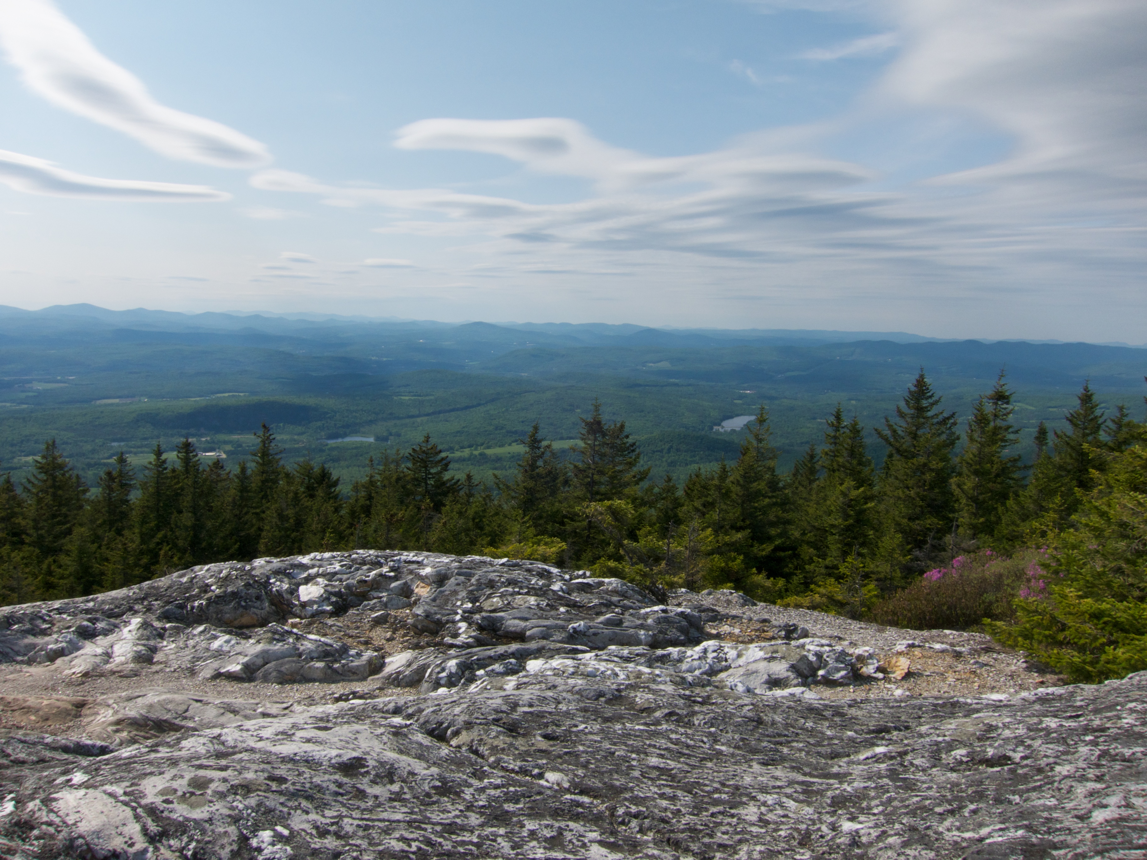
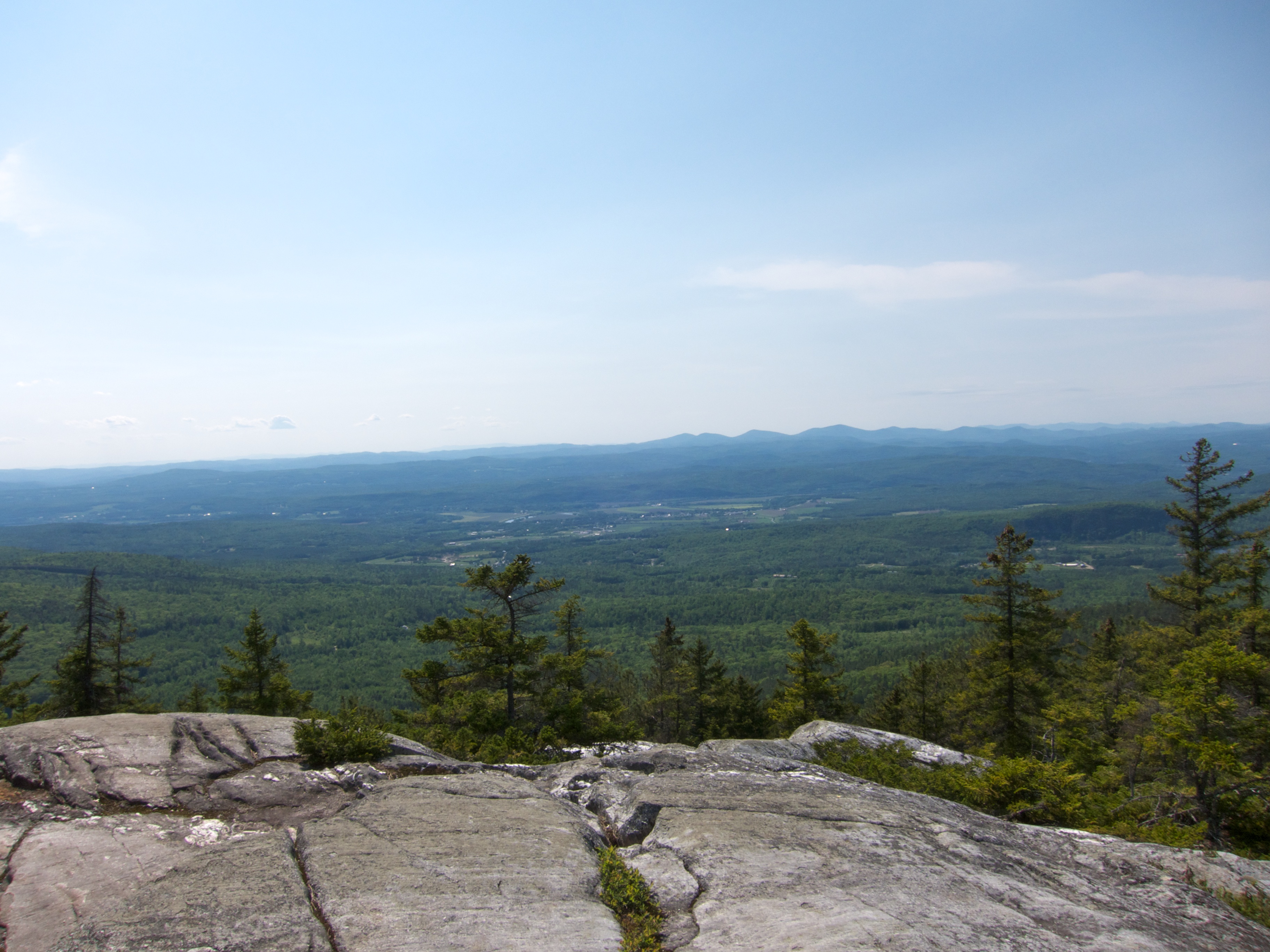
View From Black Mountain

Another View of the Church

View From Black Mountain

From the Green
View From Black Mountain
CT river view from the B & B

View From Black Mountain
View From Black Mountain
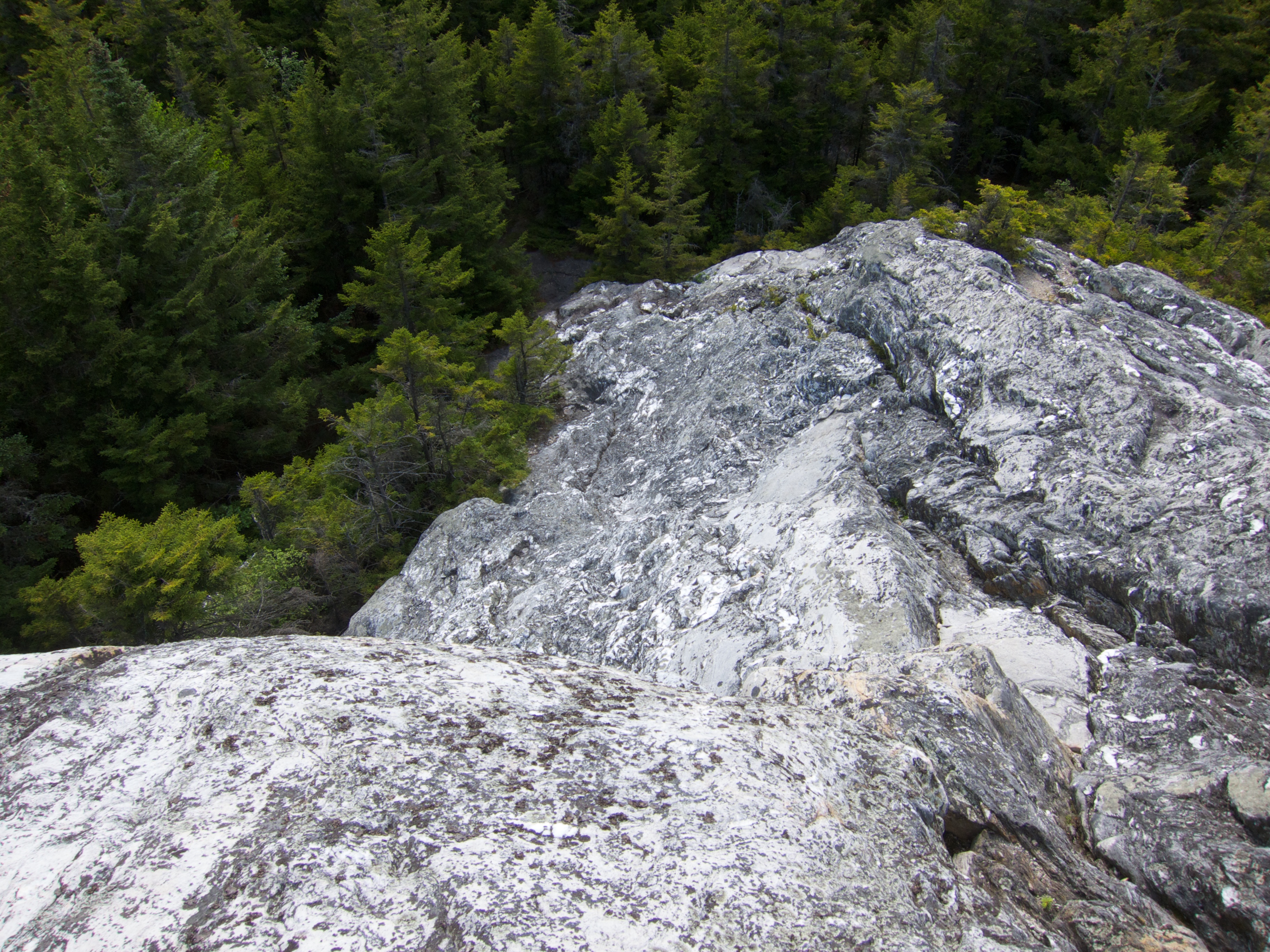
View Down Black Mountain

View From Black Mountain

Bogie Mountain Farm, Vermont

East Corinth, Vermont

Ammonoosuc River

Whitemount Farm, New Hampshire

Evening at East Corinth, Vermont

Little Unnamed Waterfall in Vermont

New Hampshire Barns

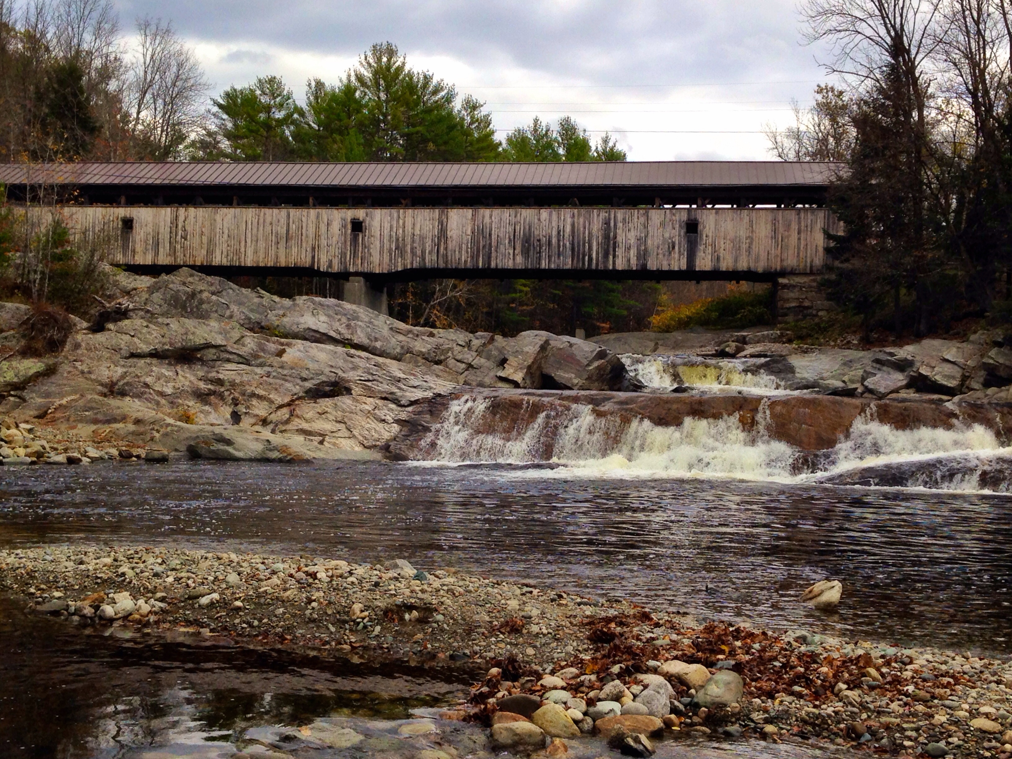
Haverhill-Bath Covered Bridge

Bogie Mountain Farm

Bogie Mountain Farm, Vermont

Still a little fall left in Lisbon, NH
Covered Bridge

Bath-Haverhill Covered Bridge

A reminder of warmer days

2016-11-27_08-46-19

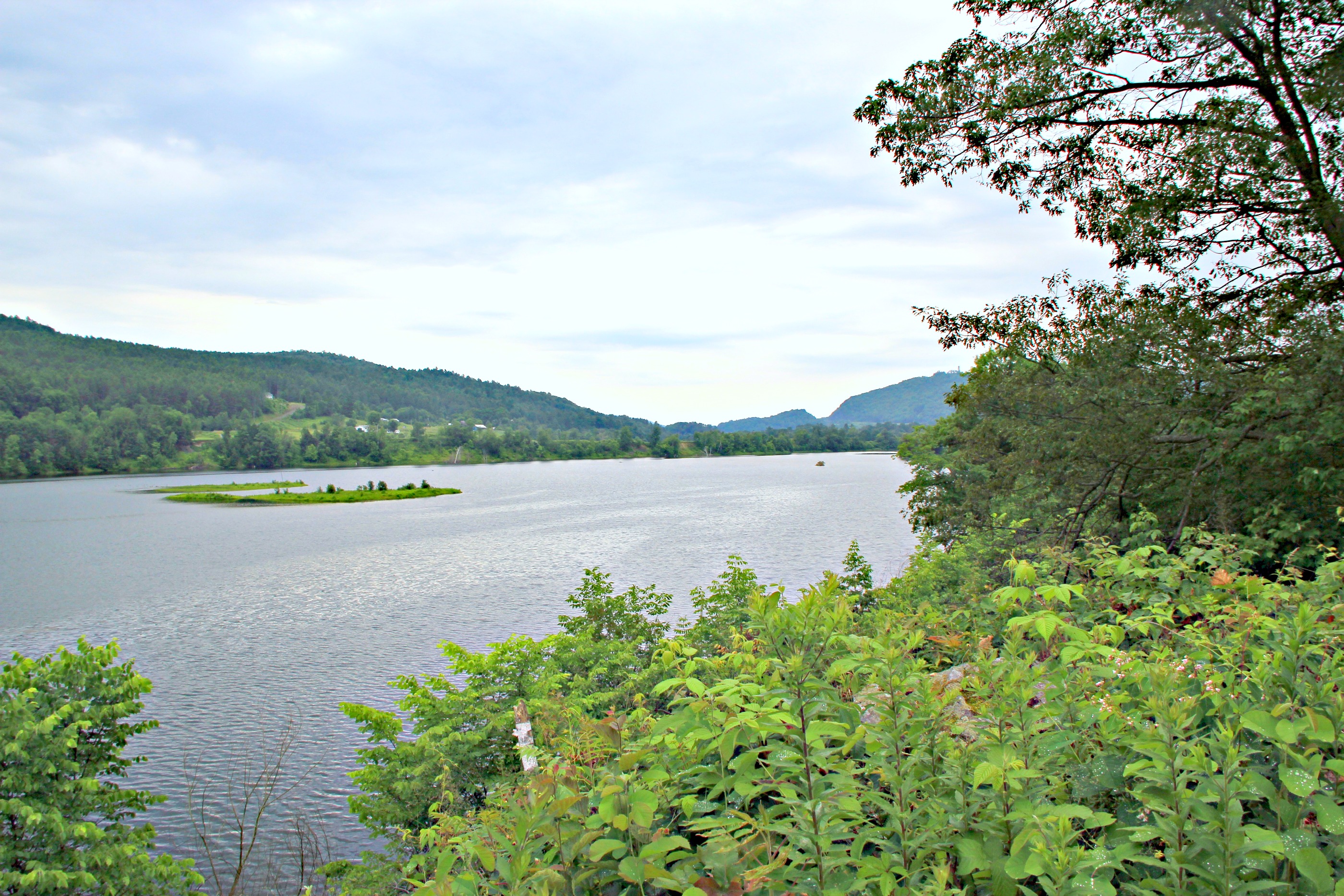
Connecticut River, Wells River, Vermont

Bedell Covered Bridge- Grafton County NH (3)

Bath Covered Bridge

Green Mountains
Connecticut River Valley (Haverhill Town, New Hampshire)

Bath-Haverhill covered Bridge
Topographic Map of US-, Wells River, VT, USA
Find elevation by address:

Places near US-, Wells River, VT, USA:
1048 Us-302
Wells River
Woodsville
East Ryegate
486 Lang Rd
Clough Road
Bath
230 Pettyboro Rd
24 Lisbon Rd
Straford Drive
White Mountain Dr, Woodsville, NH, USA
253 Hill Rd
285 Lisbon Rd
170 Mountain View Dr
Monroe
30 Monument Cir, Barnet, VT, USA
Barnet
Lyman
57 Thorpe Rd
860 Jockey Hill Rd
Recent Searches:
- Elevation of Warwick, RI, USA
- Elevation of Fern Rd, Whitmore, CA, USA
- Elevation of 62 Abbey St, Marshfield, MA, USA
- Elevation of Fernwood, Bradenton, FL, USA
- Elevation of Felindre, Swansea SA5 7LU, UK
- Elevation of Leyte Industrial Development Estate, Isabel, Leyte, Philippines
- Elevation of W Granada St, Tampa, FL, USA
- Elevation of Pykes Down, Ivybridge PL21 0BY, UK
- Elevation of Jalan Senandin, Lutong, Miri, Sarawak, Malaysia
- Elevation of Bilohirs'k