Elevation of Woodland Trail, Gun Barrel City, TX, USA
Location: United States > Texas > Henderson County > Gun Barrel City >
Longitude: -96.154520
Latitude: 32.3402578
Elevation: 108m / 354feet
Barometric Pressure: 100KPa
Elevation Map:
Satellite Map:
Related Photos:

Venus Transit

Sunset 2
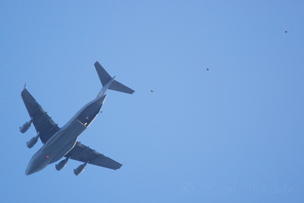
HALO jump.

Hammock view 2

Hammock view 1
WP_20121117_039_edited-1

Texas Sunset
Texas Drought (before) 11-07-09
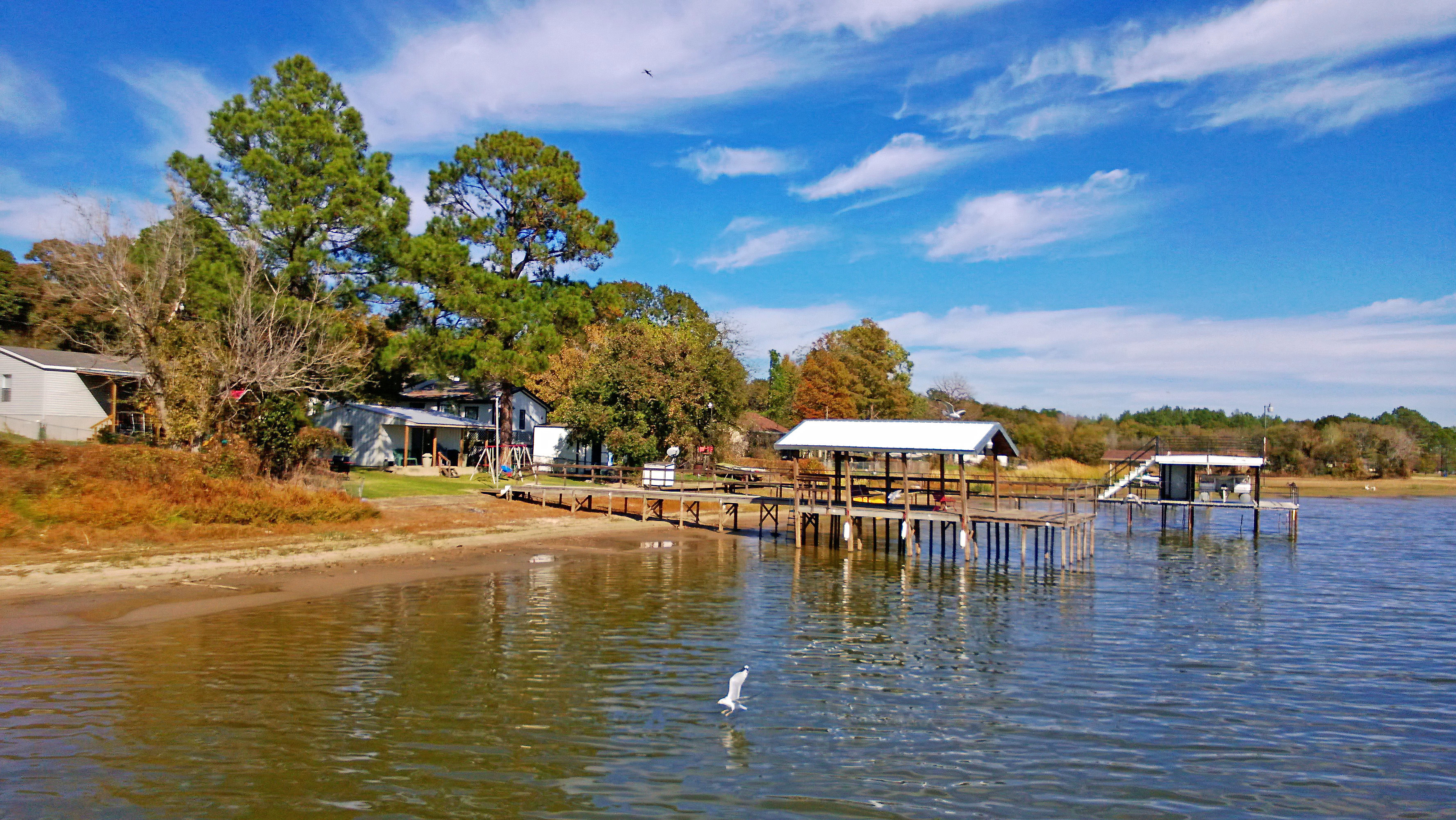
Kemp Texas Cedar Creek Lake Homes
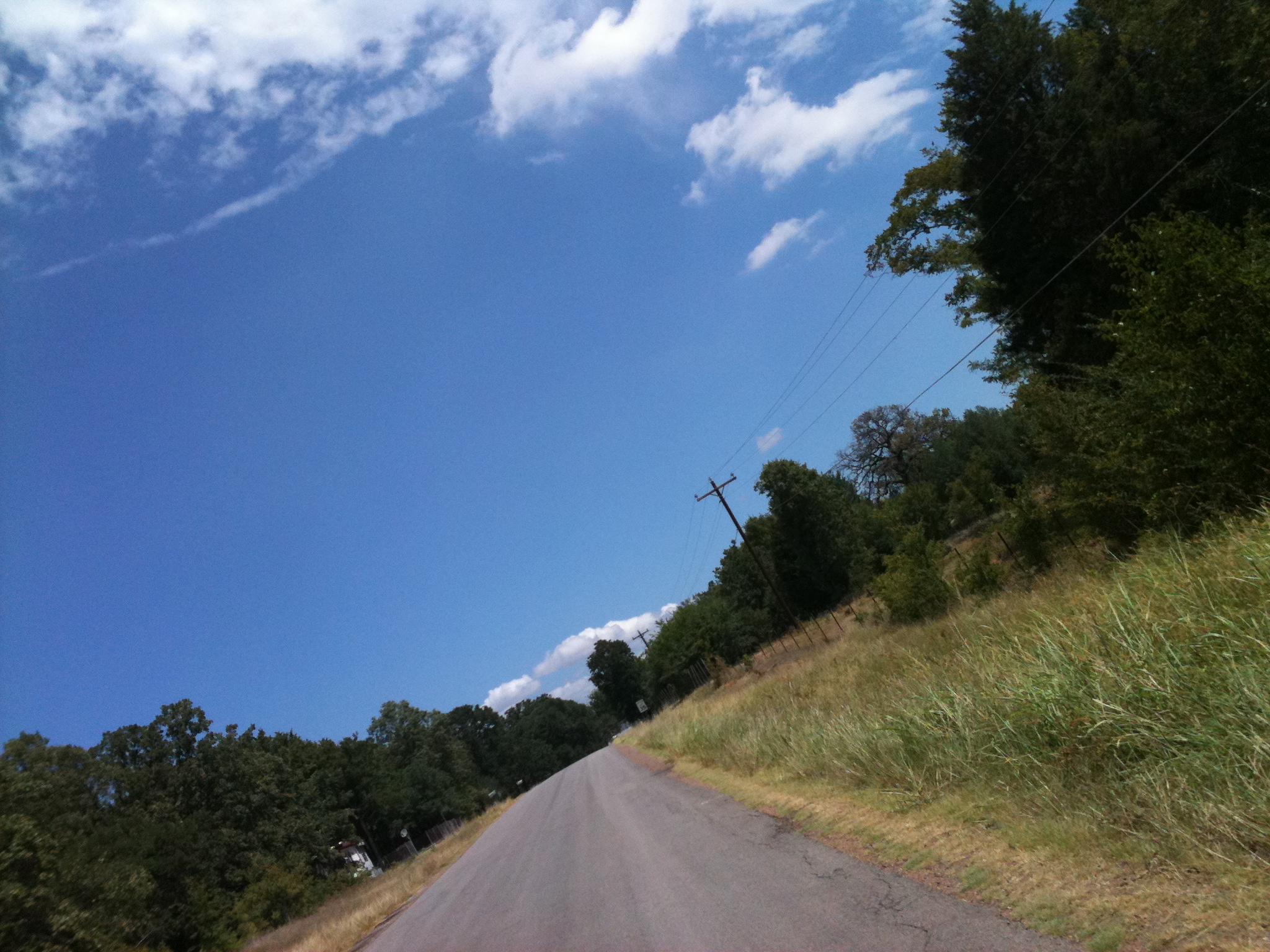
Texas Country Road near Cedar Creek Lake

Heading home

Night falls
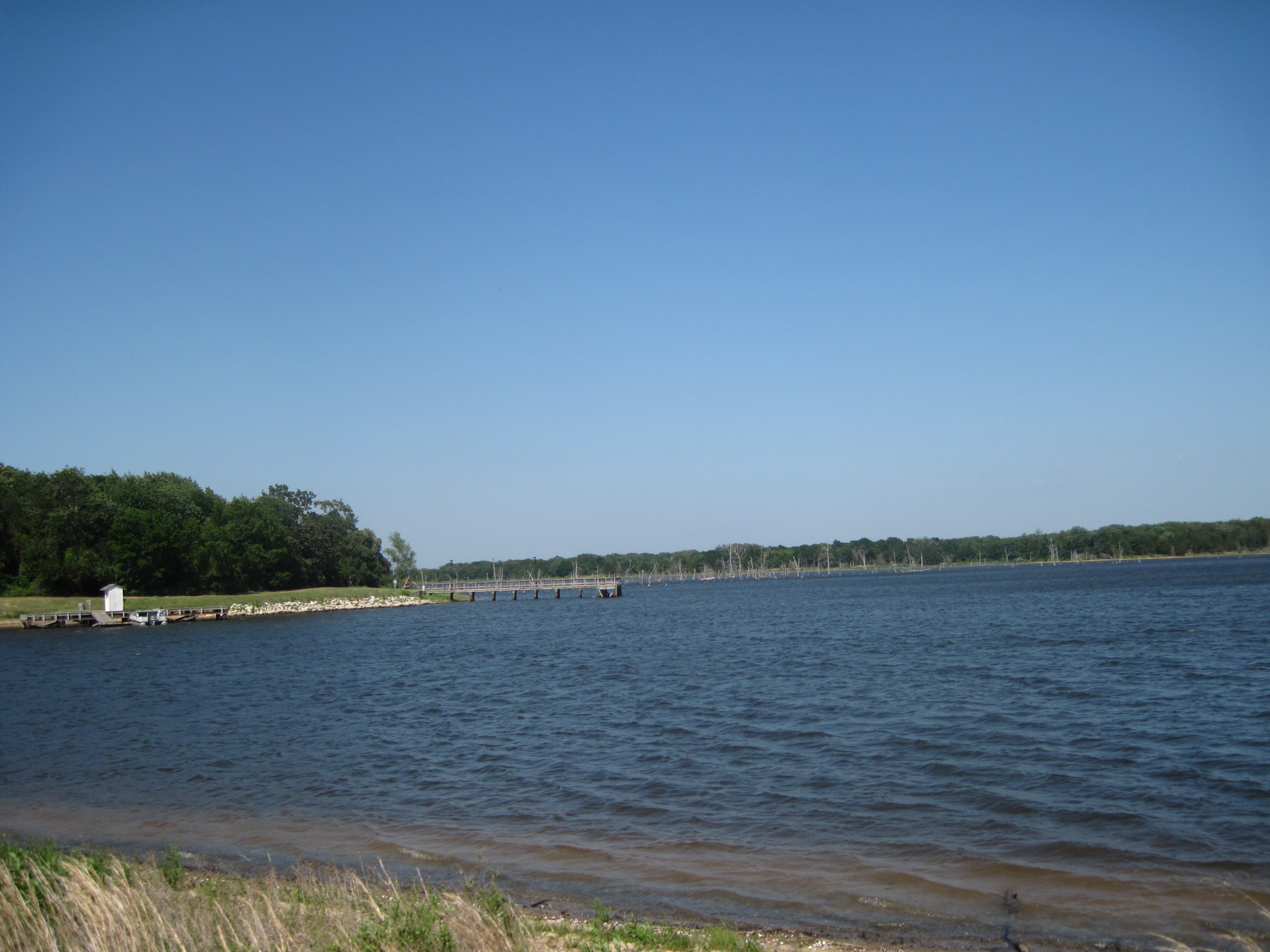
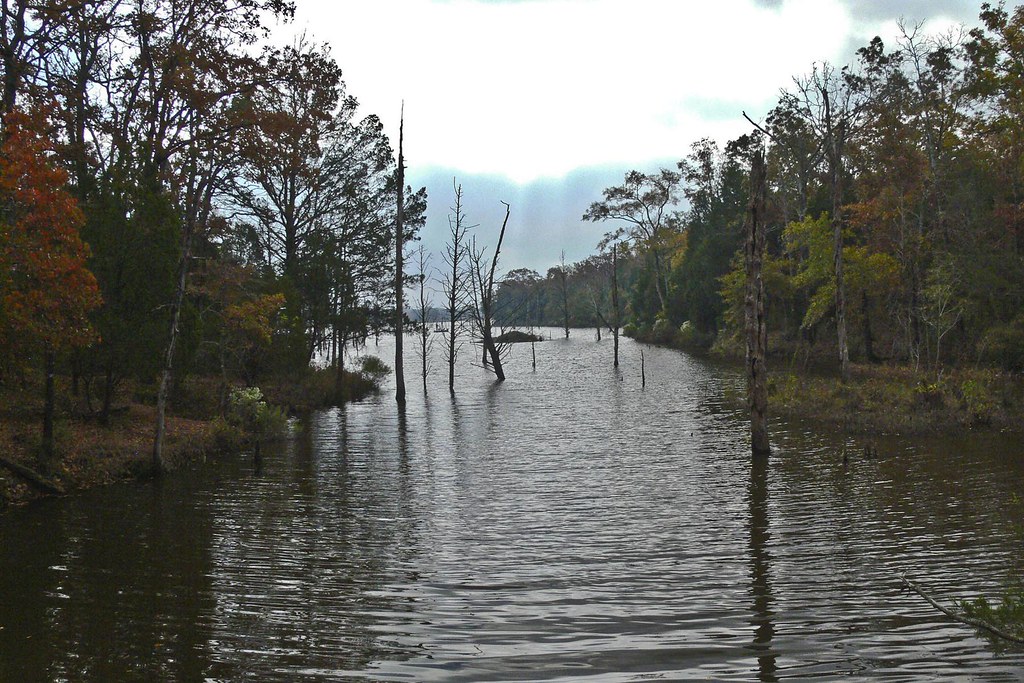
Purtis Creek 2
Topographic Map of Woodland Trail, Gun Barrel City, TX, USA
Find elevation by address:

Places near Woodland Trail, Gun Barrel City, TX, USA:
Gun Barrel City
134 Loon Bay Dr
134 Loon Bay Dr
Loon Bay Dr, Gun Barrel City, TX, USA
277 Autumn Wood Trail
113 Causeway Cove
Seven Points
Seven Points, TX, USA
Eustace
131 Cedar Bend Dr
Front St, Eustace, TX, USA
Joe Andrews Road
Sam Houston Dr, Log Cabin, TX, USA
Trinidad
Kerens
Malakoff
S Terry St, Malakoff, TX, USA
9775 Richardson Rd
9775 Richardson Rd
9775 Richardson Rd
Recent Searches:
- Elevation of Woodland Oak Pl, Thousand Oaks, CA, USA
- Elevation of Brownsdale Rd, Renfrew, PA, USA
- Elevation of Corcoran Ln, Suffolk, VA, USA
- Elevation of Mamala II, Sariaya, Quezon, Philippines
- Elevation of Sarangdanda, Nepal
- Elevation of 7 Waterfall Way, Tomball, TX, USA
- Elevation of SW 57th Ave, Portland, OR, USA
- Elevation of Crocker Dr, Vacaville, CA, USA
- Elevation of Pu Ngaol Community Meeting Hall, HWHM+3X7, Krong Saen Monourom, Cambodia
- Elevation of Royal Ontario Museum, Queens Park, Toronto, ON M5S 2C6, Canada