Elevation of Joe Andrews Road, Joe Andrews Rd, Texas, USA
Location: United States > Texas > Henderson County > Trinidad >
Longitude: -96.113111
Latitude: 32.1841616
Elevation: 102m / 335feet
Barometric Pressure: 100KPa
Elevation Map:
Satellite Map:
Related Photos:

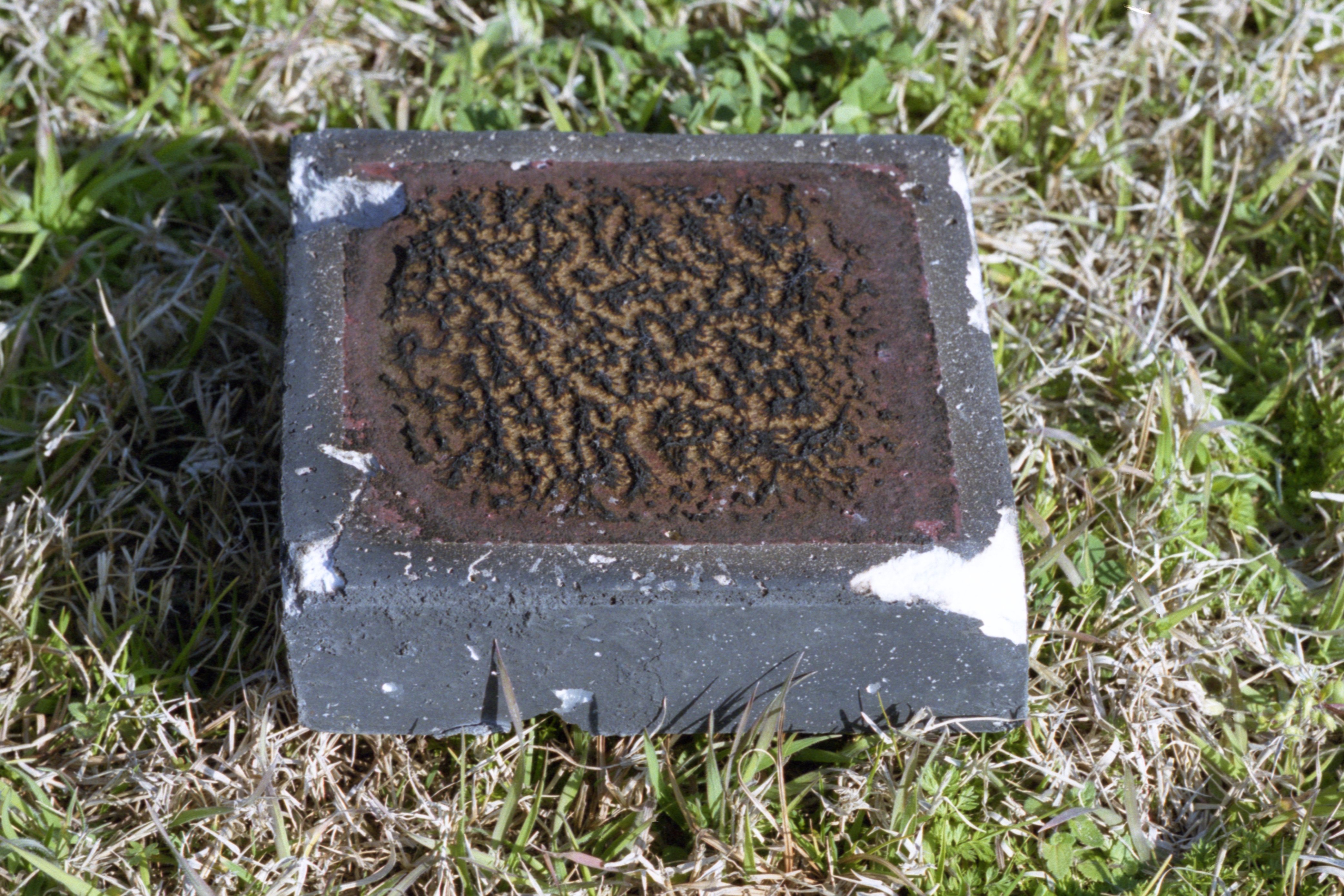
the Chair
img-014

Sunset 2

HALO jump.
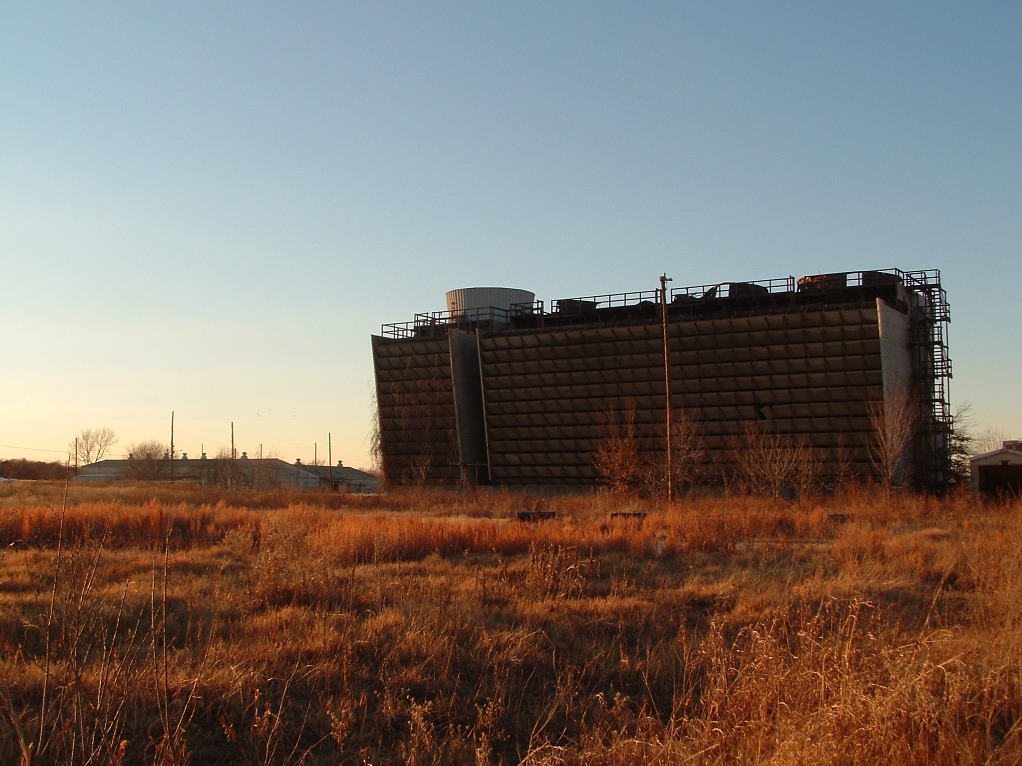
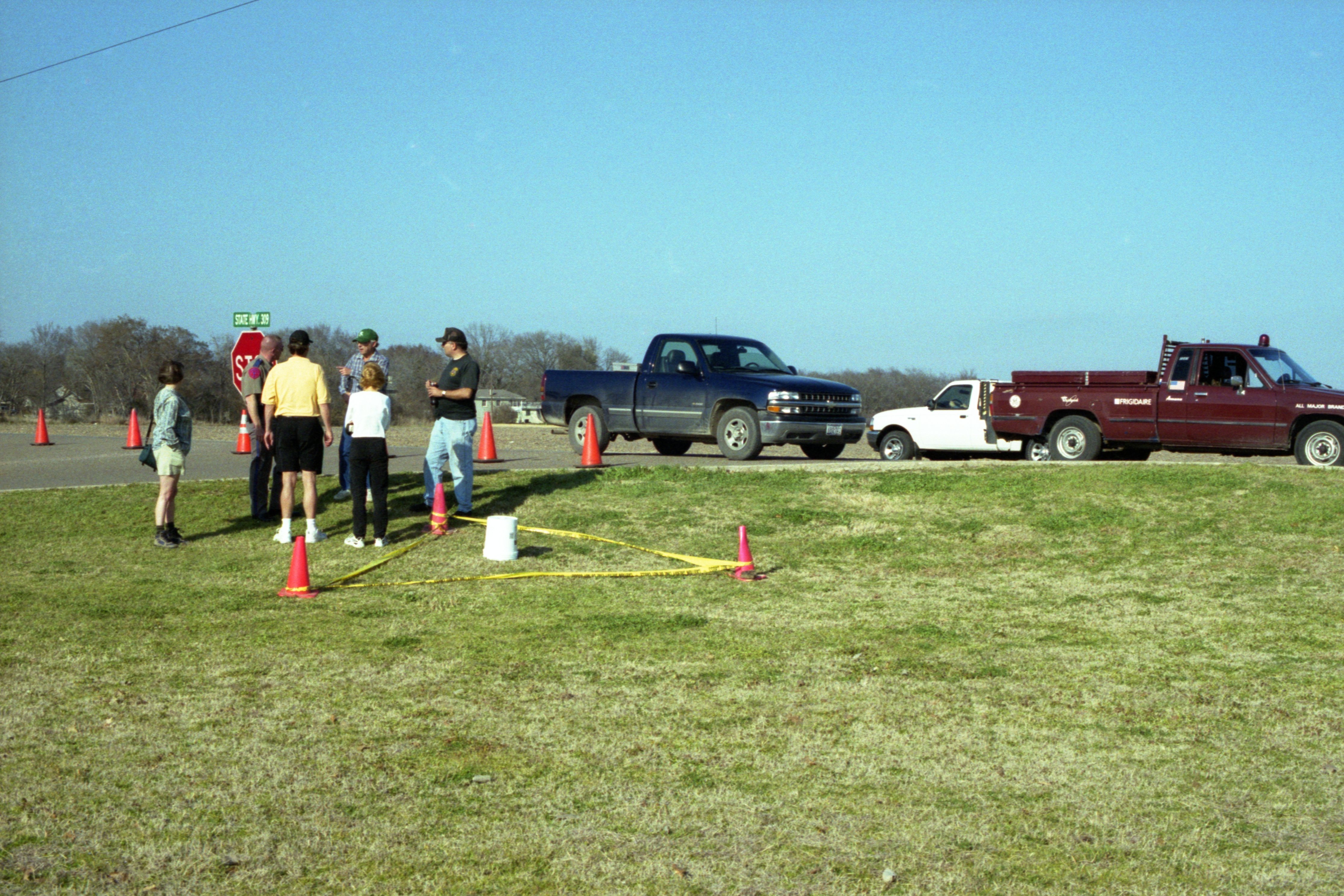
Abandoned Fertilizer Plant
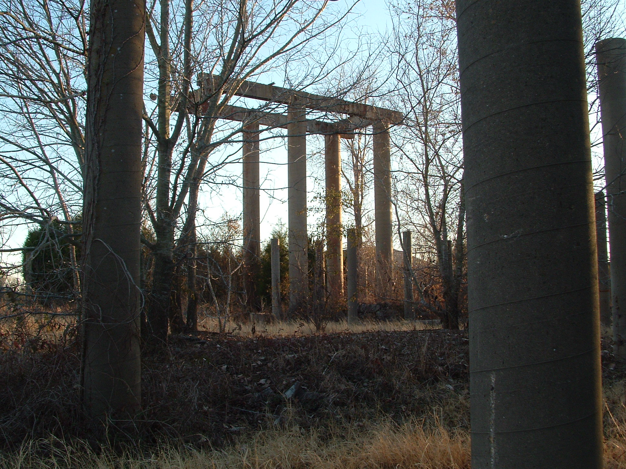
Abandoned Fertilizer Plant

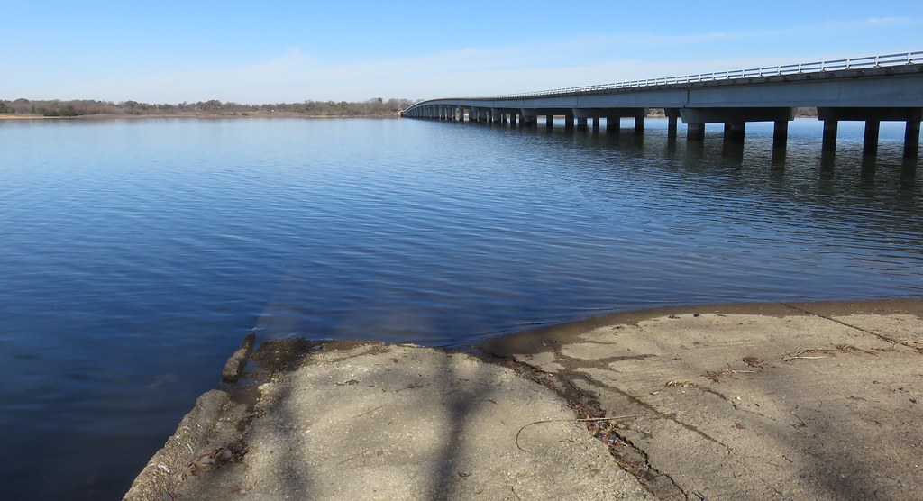
1921 Through Truss Railroad Bridge over Trinity River, South of Hwy 31, Trinidad, Texas 1206101316
img-018
img-017
Cedar Creek Reservoir (Henderson County, Texas)

CCL Shore
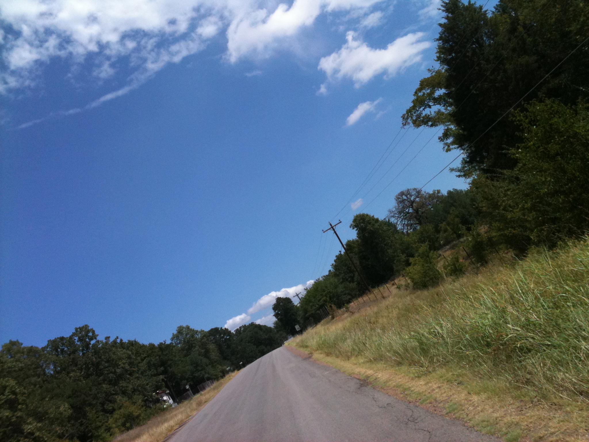
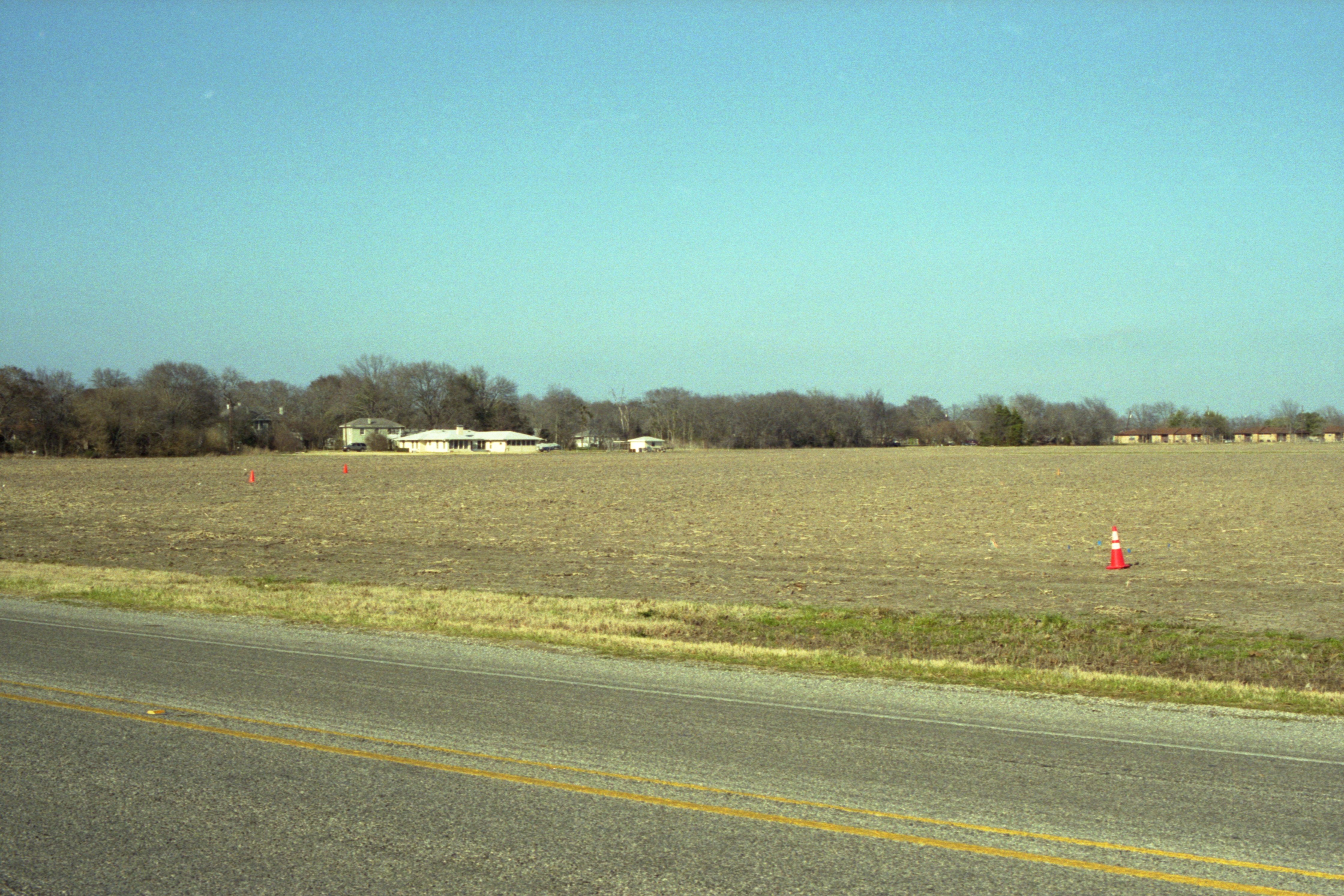
Texas Country Road near Cedar Creek Lake
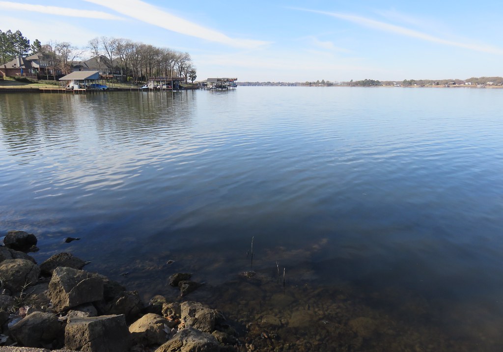
Cedar Creek Reservoir (Henderson County, Texas)

Night falls
Topographic Map of Joe Andrews Road, Joe Andrews Rd, Texas, USA
Find elevation by address:

Places near Joe Andrews Road, Joe Andrews Rd, Texas, USA:
131 Cedar Bend Dr
Trinidad
Sam Houston Dr, Log Cabin, TX, USA
Malakoff
S Terry St, Malakoff, TX, USA
Kerens
277 Autumn Wood Trail
Loon Bay Dr, Gun Barrel City, TX, USA
134 Loon Bay Dr
134 Loon Bay Dr
Gun Barrel City
136 Woodland Trail
Front St, Eustace, TX, USA
Eustace
113 Causeway Cove
Seven Points
9775 Richardson Rd
9775 Richardson Rd
9775 Richardson Rd
9775 Richardson Rd
Recent Searches:
- Elevation of Côte-des-Neiges, Montreal, QC H4A 3J6, Canada
- Elevation of Bobcat Dr, Helena, MT, USA
- Elevation of Zu den Ihlowbergen, Althüttendorf, Germany
- Elevation of Badaber, Peshawar, Khyber Pakhtunkhwa, Pakistan
- Elevation of SE Heron Loop, Lincoln City, OR, USA
- Elevation of Slanický ostrov, 01 Námestovo, Slovakia
- Elevation of Spaceport America, Co Rd A, Truth or Consequences, NM, USA
- Elevation of Warwick, RI, USA
- Elevation of Fern Rd, Whitmore, CA, USA
- Elevation of 62 Abbey St, Marshfield, MA, USA