Elevation of Eustace, TX, USA
Location: United States > Texas > Henderson County >
Longitude: -96.006635
Latitude: 32.3070902
Elevation: 129m / 423feet
Barometric Pressure: 100KPa
Elevation Map:
Satellite Map:
Related Photos:
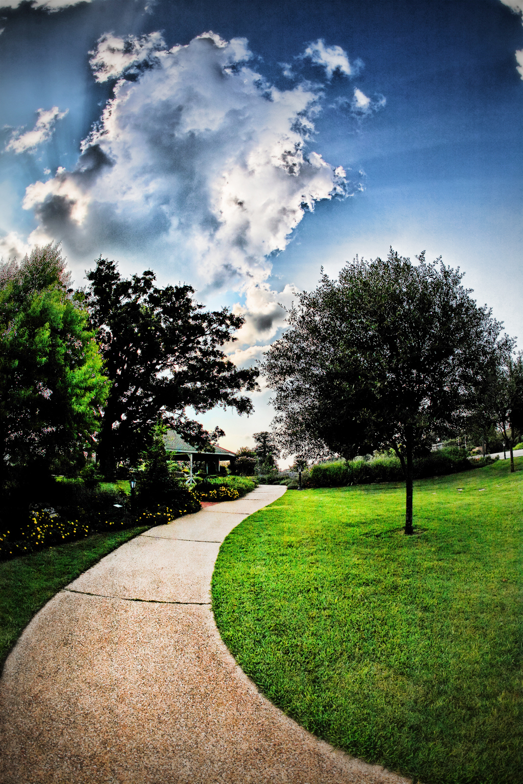
the arboretum

Venus Transit
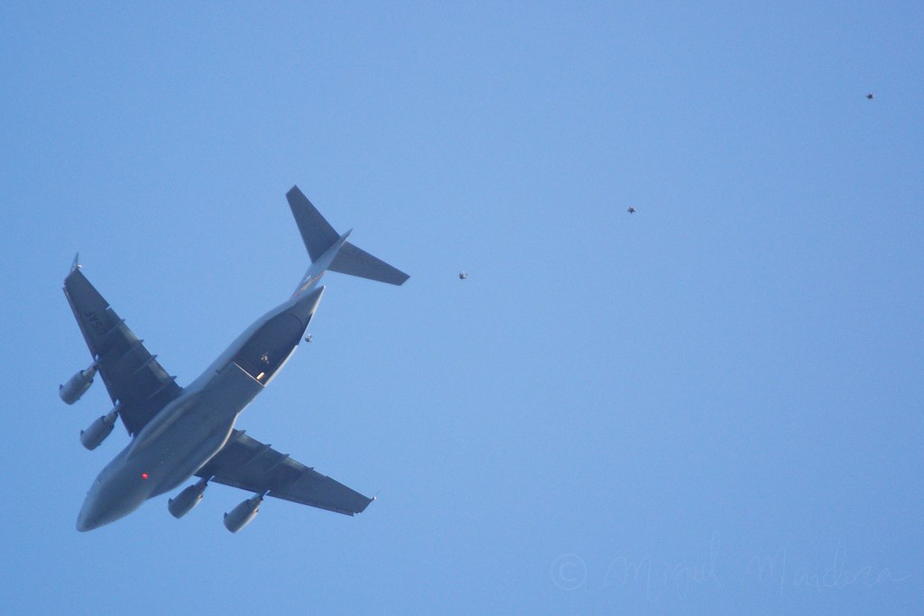
HALO jump.
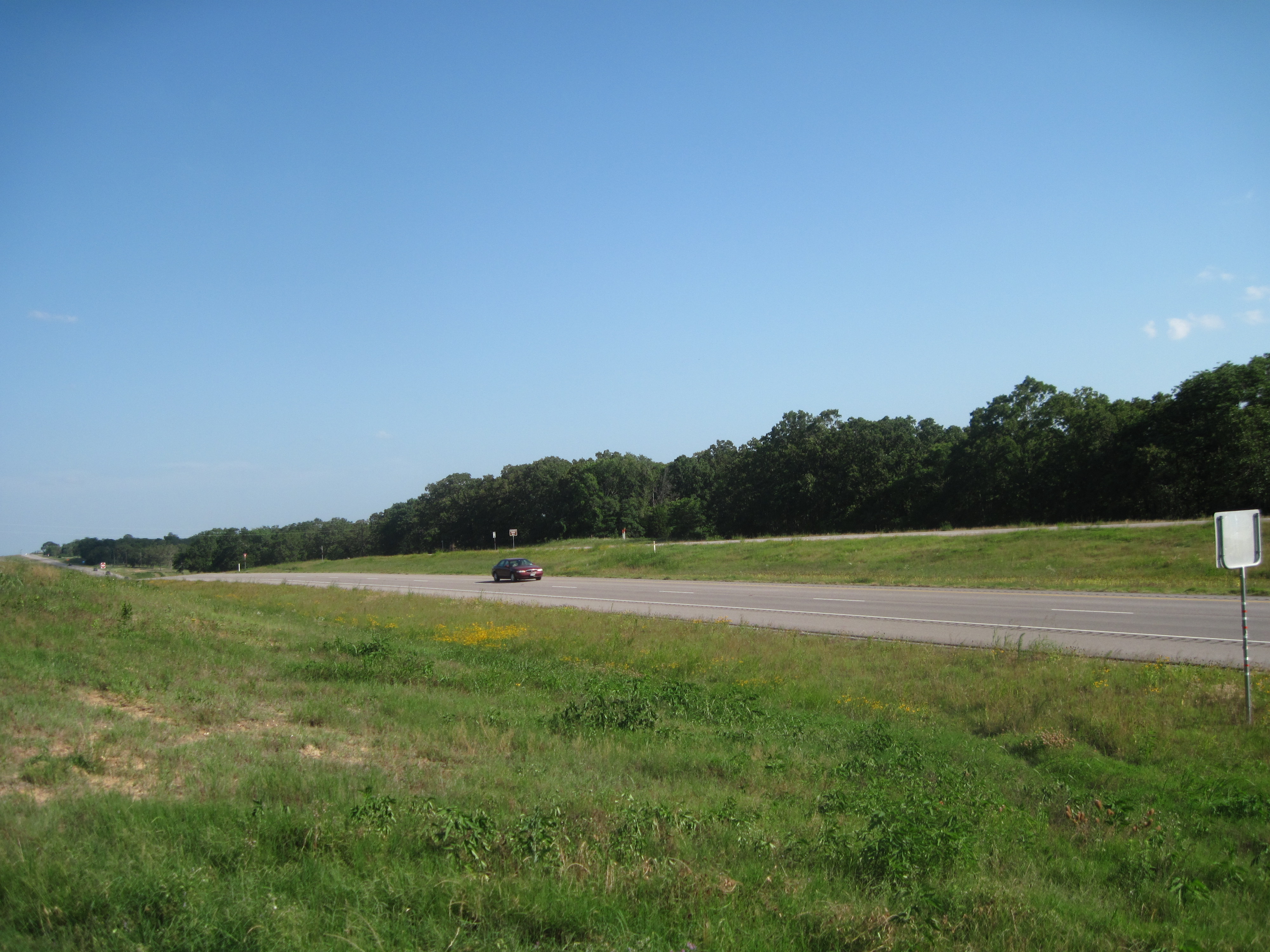
View from Marker, Highway 175
View from the marker
WP_20121117_039_edited-1

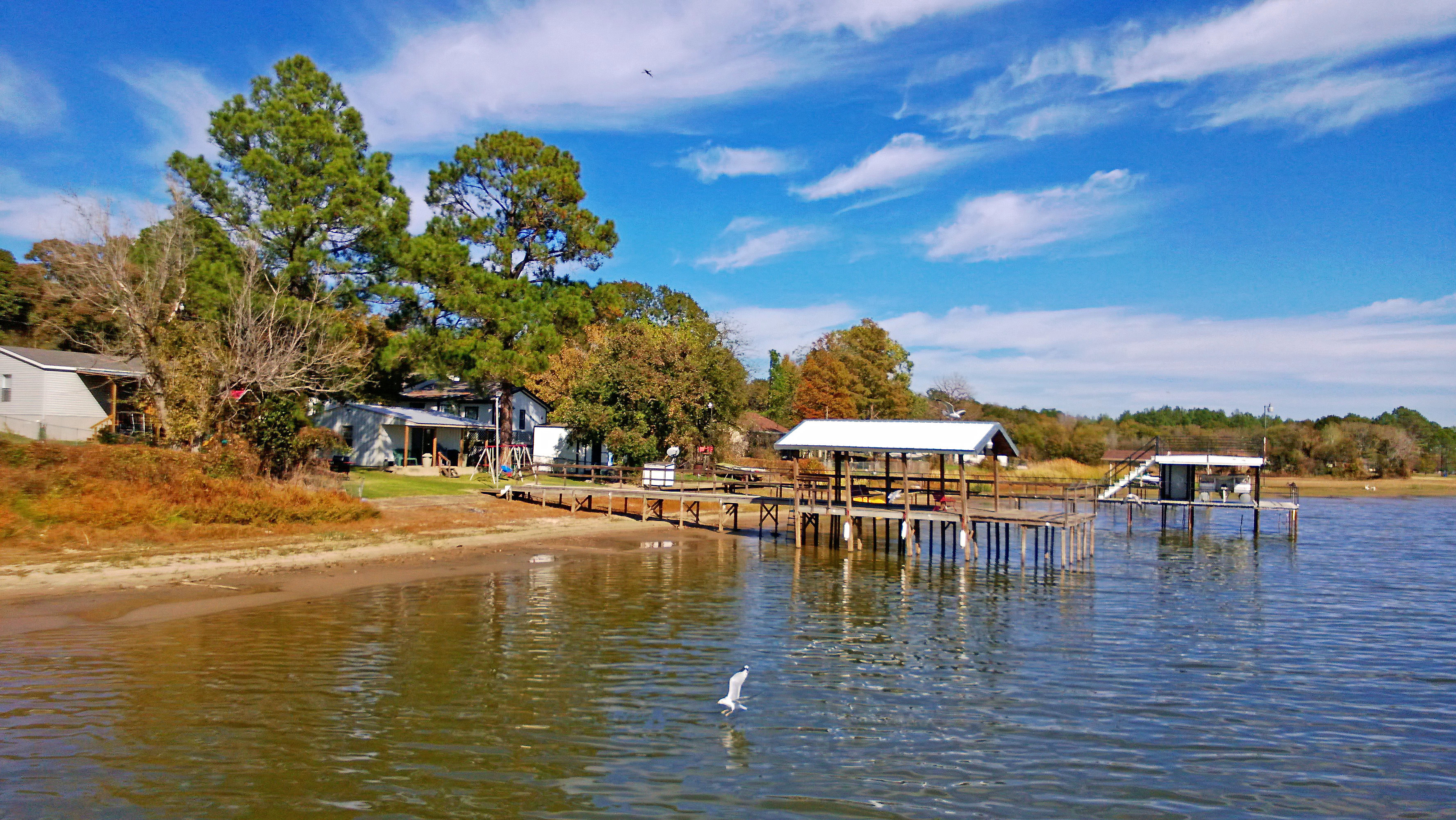
CCL Shore
Texas Drought (before) 11-07-09
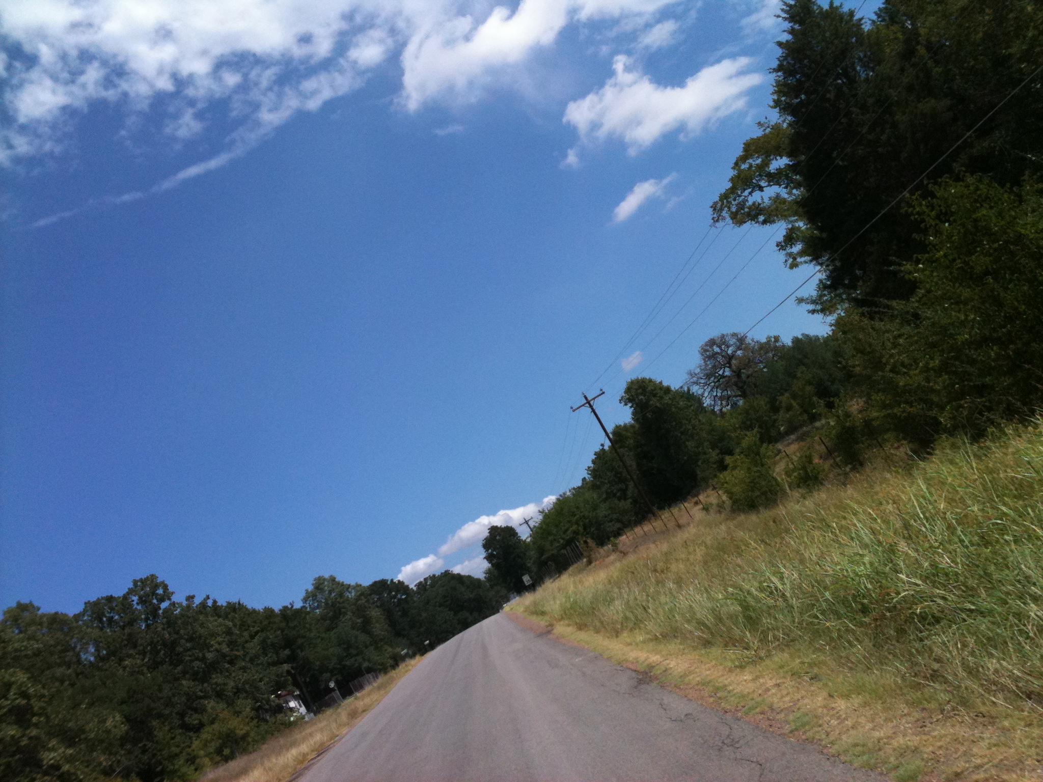
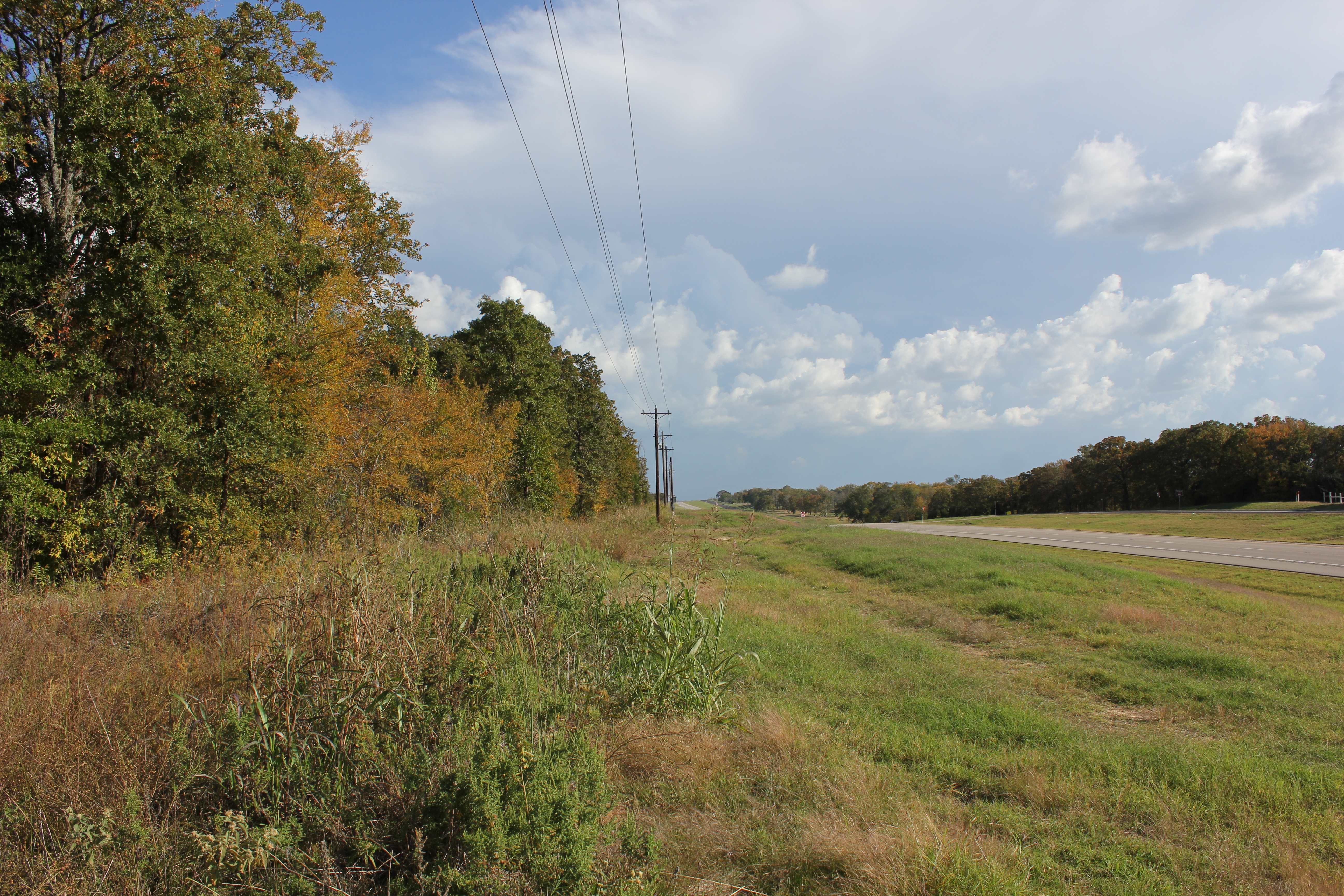
Texas Country Road near Cedar Creek Lake
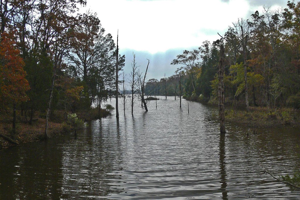
Purtis Creek 2

Big one eyed Fish!

Heading home

Night falls
Topographic Map of Eustace, TX, USA
Find elevation by address:

Places in Eustace, TX, USA:
Places near Eustace, TX, USA:
Front St, Eustace, TX, USA
Sam Houston Dr, Log Cabin, TX, USA
9775 Richardson Rd
9775 Richardson Rd
9775 Richardson Rd
9775 Richardson Rd
9775 Richardson Rd
Malakoff
S Terry St, Malakoff, TX, USA
131 Cedar Bend Dr
Loon Bay Dr, Gun Barrel City, TX, USA
Gun Barrel City
277 Autumn Wood Trail
134 Loon Bay Dr
134 Loon Bay Dr
136 Woodland Trail
Joe Andrews Road
Athens
Trinidad
S Prairieville St & Larue St
Recent Searches:
- Elevation of Corso Fratelli Cairoli, 35, Macerata MC, Italy
- Elevation of Tallevast Rd, Sarasota, FL, USA
- Elevation of 4th St E, Sonoma, CA, USA
- Elevation of Black Hollow Rd, Pennsdale, PA, USA
- Elevation of Oakland Ave, Williamsport, PA, USA
- Elevation of Pedrógão Grande, Portugal
- Elevation of Klee Dr, Martinsburg, WV, USA
- Elevation of Via Roma, Pieranica CR, Italy
- Elevation of Tavkvetili Mountain, Georgia
- Elevation of Hartfords Bluff Cir, Mt Pleasant, SC, USA