Elevation of Wooden Horse Trail, Murrieta, CA, USA
Location: United States > California > Riverside County > Murrieta >
Longitude: -117.20861
Latitude: 33.5972614
Elevation: -10000m / -32808feet
Barometric Pressure: 295KPa
Elevation Map:
Satellite Map:
Related Photos:

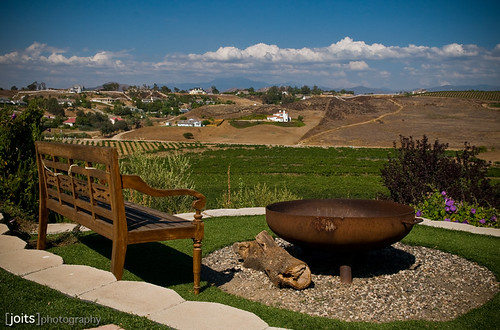
Dreams of Starmen

Dark Lines

Bowling view

Railroad Canyon

It DOES Exist
vinemia vineyard

He Should Of Known I Would

My New Bathroom Sign

Atlas 5 Rocket Launch

The Day After the Last Day of Winter
Can I Get That To Go Please
Is It OK If I Do A Left Angle Instead?

My backyard view!

Finally....
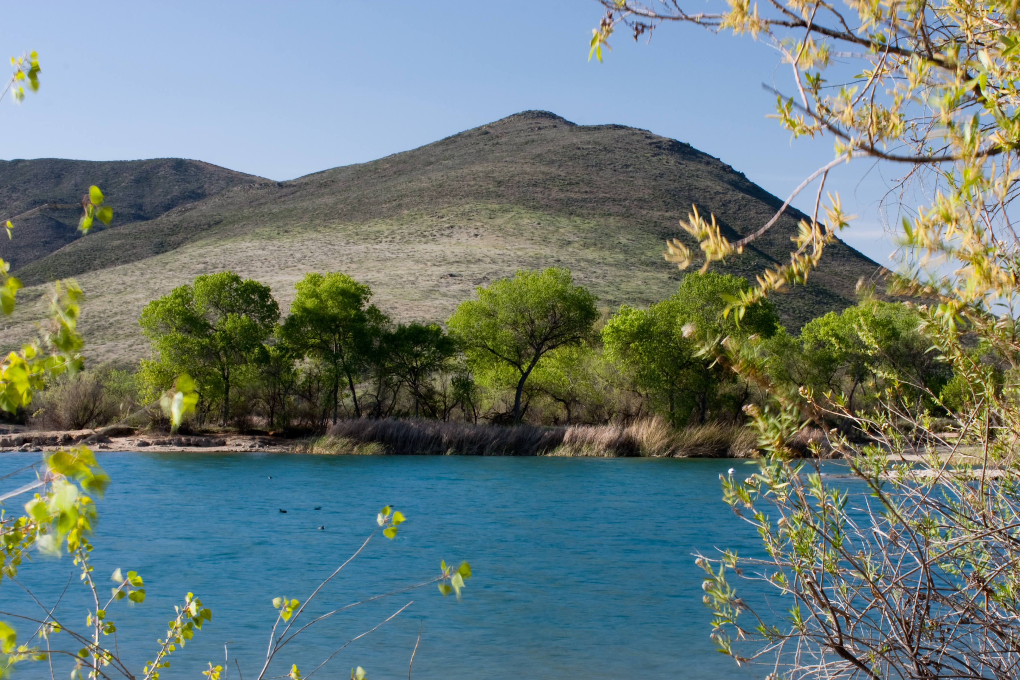
Lake Skinner

Cooper's Hawk. Murrieta CA.

Cracked rear view....

Menifee, California
best view in the house

Golden Chandelier

Panorama looking south across the street from the library

Springtime, Santa Rosa Plateau

The Long and Winding Road

Fog shrouded Oak Tree

Harvest Time

The Man Who Went Up a Hill and Other Stories
Morning fog hanging low

To the place I belong, Project 365: 75/365
December 1, 2004 010

Lupines by the lake.

Santa Rosa 263

And some more #cloudporn

#santarosaplateau #california #california_igers #snapseed #jj

Power Lines at 70 MPH

La Cresta

Menifee Lakes Golf Course
#iphoneonly #iphone4 #iphoneography #hipstamatic

February 19, 2005 146

Blowing in the Wind

September 29, 2005 052
Topographic Map of Wooden Horse Trail, Murrieta, CA, USA
Find elevation by address:

Places near Wooden Horse Trail, Murrieta, CA, USA:
36316 Bladen Ave
26525 Horsetail St
23429 Saratoga Springs Pl
Greer Ranch
26772 Desert Locust St
26836 Desert Locust St
26836 Desert Locust St
26836 Desert Locust St
24320 Vía Las Junitas
27201 Pumpkin St
27451 Trefoil St
27451 Trefoil St
27451 Trefoil St
34720 The Farm Rd
24798 Fire Falls Dr
Sunset Way
33990 Green Bean Ln
32092 Rock Elm Dr
33194 Helen Ln
28062 Baxter Rd
Recent Searches:
- Elevation of Badaber, Peshawar, Khyber Pakhtunkhwa, Pakistan
- Elevation of SE Heron Loop, Lincoln City, OR, USA
- Elevation of Slanický ostrov, 01 Námestovo, Slovakia
- Elevation of Spaceport America, Co Rd A, Truth or Consequences, NM, USA
- Elevation of Warwick, RI, USA
- Elevation of Fern Rd, Whitmore, CA, USA
- Elevation of 62 Abbey St, Marshfield, MA, USA
- Elevation of Fernwood, Bradenton, FL, USA
- Elevation of Felindre, Swansea SA5 7LU, UK
- Elevation of Leyte Industrial Development Estate, Isabel, Leyte, Philippines