Elevation of Fire Falls Dr, Murrieta, CA, USA
Location: United States > California > Riverside County > Murrieta >
Longitude: -117.18247
Latitude: 33.579816
Elevation: 394m / 1293feet
Barometric Pressure: 97KPa
Elevation Map:
Satellite Map:
Related Photos:
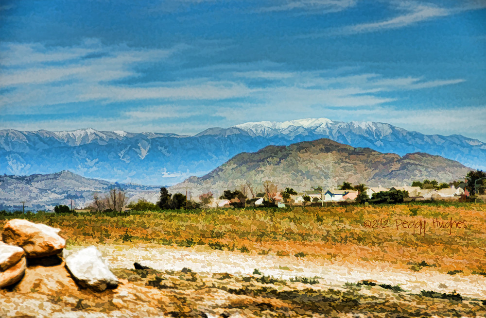
Menifee, California

Perfect Morning

Dark Lines

Life's A ...
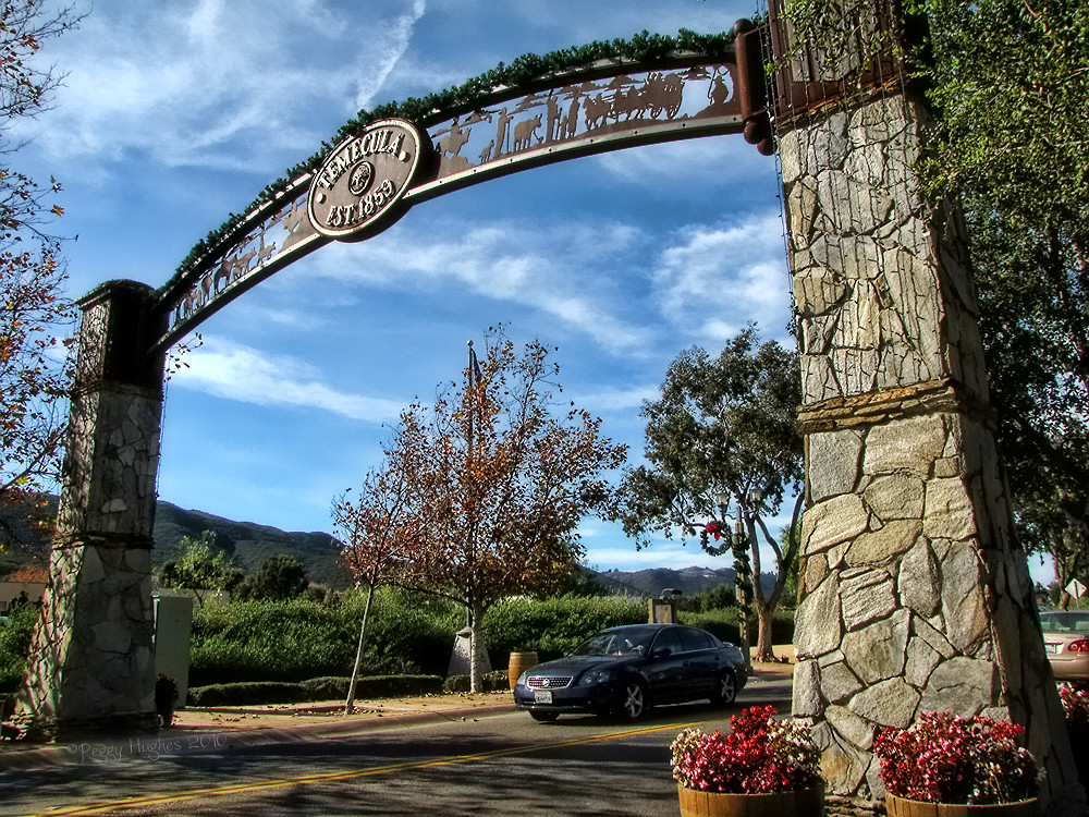
Temecula, California
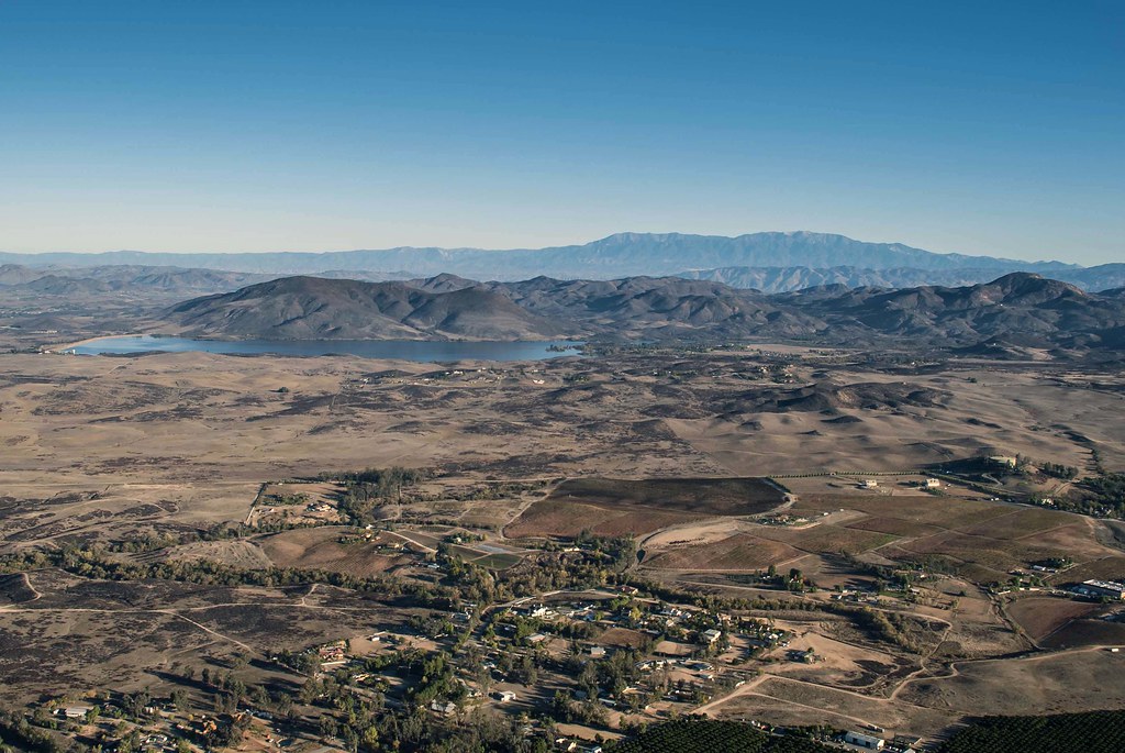
Lake Skinner
What A Trip

It DOES Exist

The Right Hook
He Should Of Known I Would
My New Bathroom Sign

Jose Pelayo

Can I Get That To Go Please

Before Starbacks, After Starbucks
Fire Fly
Is It OK If I Do A Left Angle Instead?
Panorama looking south across the street from the library

Golden Chandelier

#country #sky at the #lake #mountain #view

Dreams of Starmen
mountain view
THE END RESULT, EXPLORED #54
Springtime, Santa Rosa Plateau
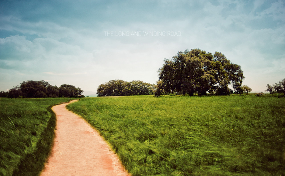
The Long and Winding Road
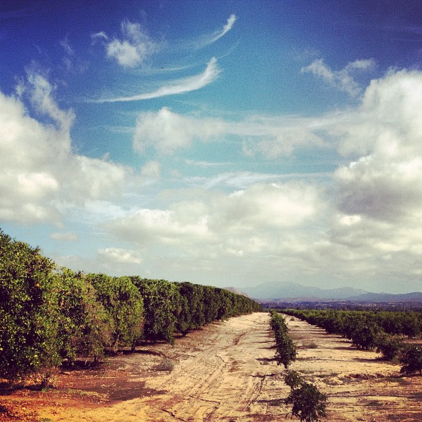
Harvest Time

Santa Rosa Plateau Vernal Pool (Explored)
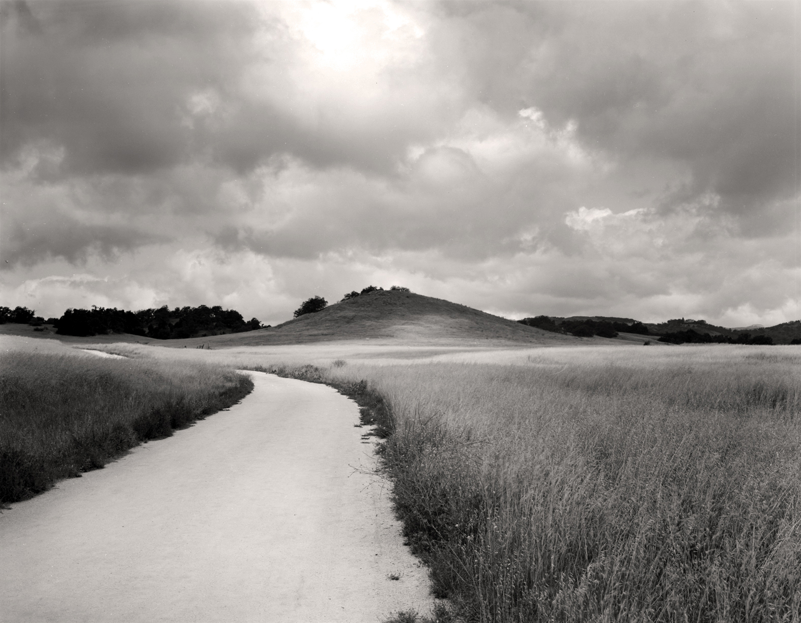
Santa Rosa Path
To the place I belong, Project 365: 75/365
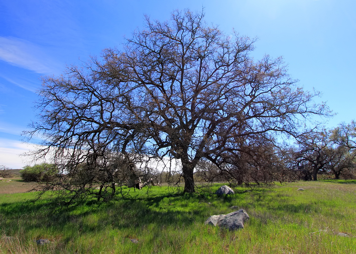
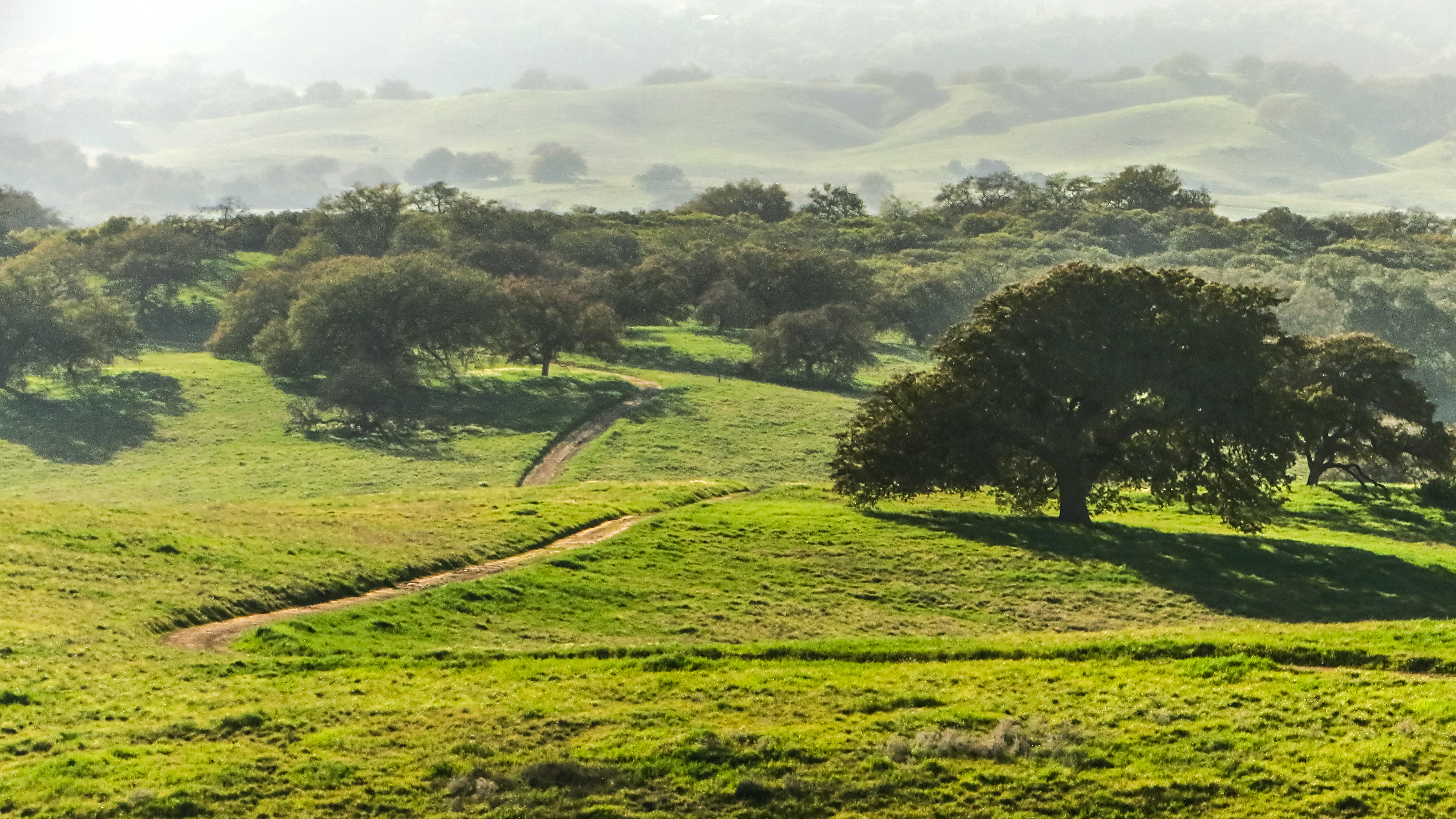
A Lone Oak on the Santa Rosa Plateau
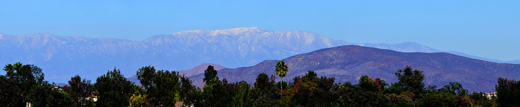
Distant snow, about 60 miles away
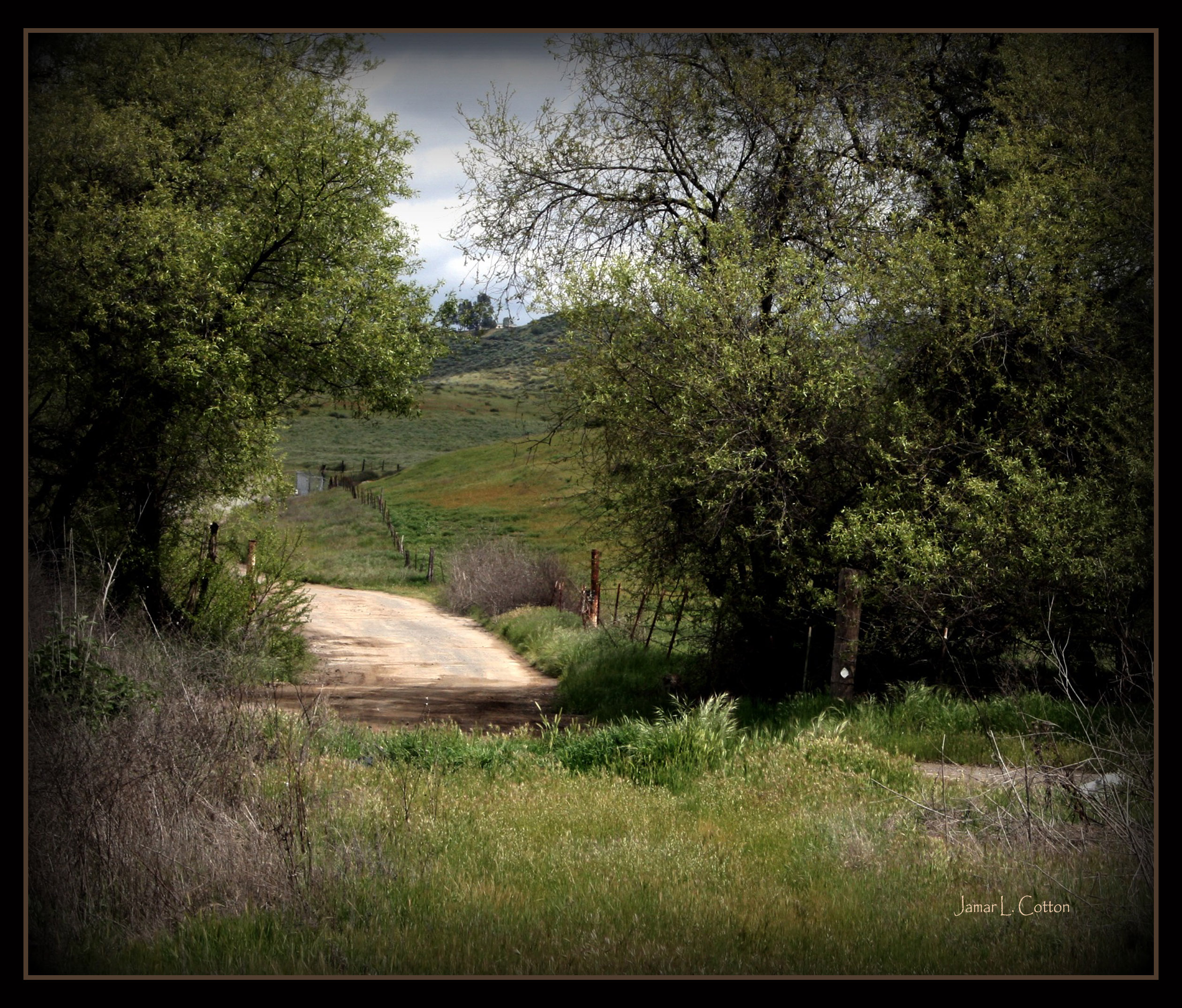
Country Road
#california #trip #temecula
Blowing in the Wind
Another beautiful day at Santa Rosa Plateau!

Into The Horizon.
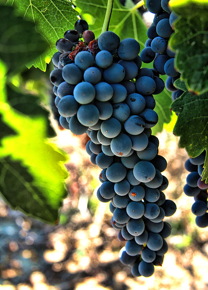
I was married in these vineyards. Happy anniversary @MayfieldsWifey!
Santa Rosa 60
iPhone 4
Topographic Map of Fire Falls Dr, Murrieta, CA, USA
Find elevation by address:

Places near Fire Falls Dr, Murrieta, CA, USA:
Sunset Way
24320 Vía Las Junitas
36316 Bladen Ave
26525 Horsetail St
27201 Pumpkin St
26772 Desert Locust St
26836 Desert Locust St
26836 Desert Locust St
26836 Desert Locust St
Greer Ranch
27451 Trefoil St
27451 Trefoil St
27451 Trefoil St
23638 Wooden Horse Trail
28062 Baxter Rd
23429 Saratoga Springs Pl
34720 The Farm Rd
33194 Helen Ln
33990 Green Bean Ln
32092 Rock Elm Dr
Recent Searches:
- Elevation of Duckhorn Ct, Las Vegas, NV, USA
- Elevation of Garretts Run Rd, Ford City, PA, USA
- Elevation of N WI-55, Freedom, WI, USA
- Elevation map of Hadiya, Ethiopia
- Elevation of Hosaina, Ethiopia
- Elevation of Verde Terrace, North Port, FL, USA
- Elevation of US-, Leesburg, FL, USA
- Elevation of Summit Dr, Kerrville, TX, USA
- Elevation of Hanson Rd, Cedaredge, CO, USA
- Elevation of Maxine St NE, Albuquerque, NM, USA