Elevation of Desert Locust St, Murrieta, CA, USA
Location: United States > California > Riverside County > Murrieta > Greer Ranch >
Longitude: -117.19186
Latitude: 33.608023
Elevation: 547m / 1795feet
Barometric Pressure: 95KPa
Elevation Map:
Satellite Map:
Related Photos:

Cracked rear view....
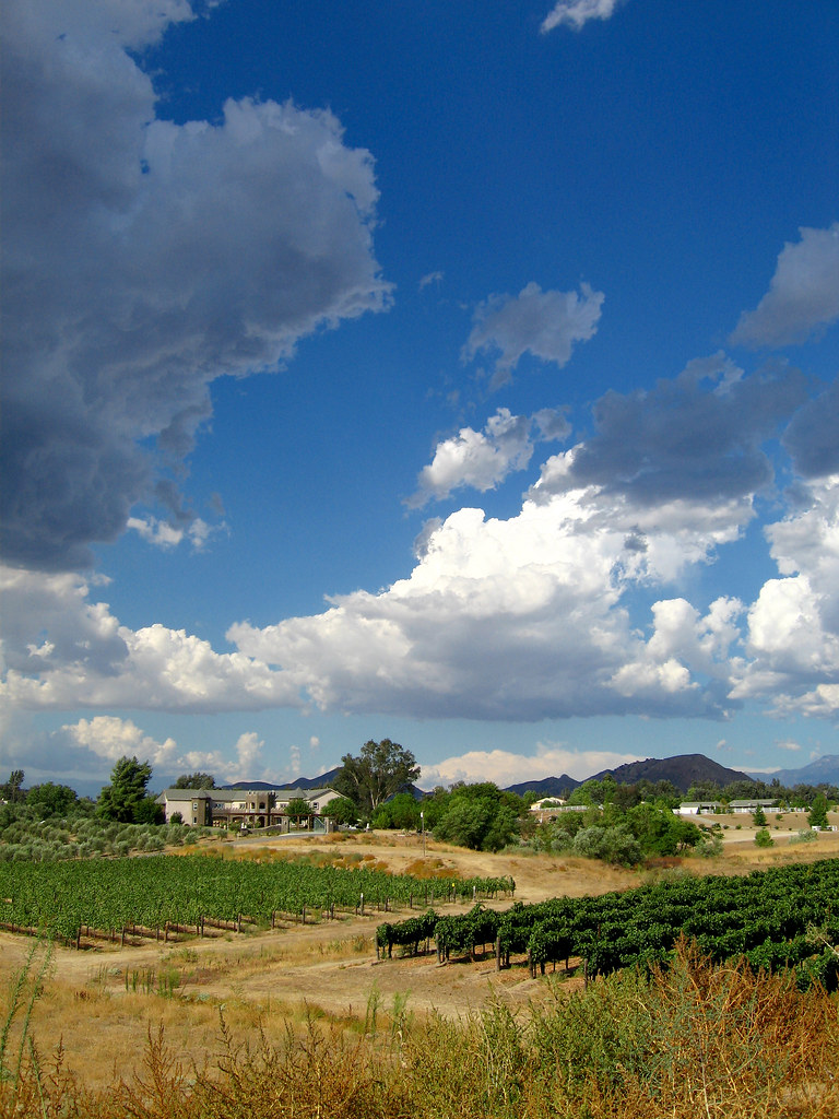
Wine Country Idyll
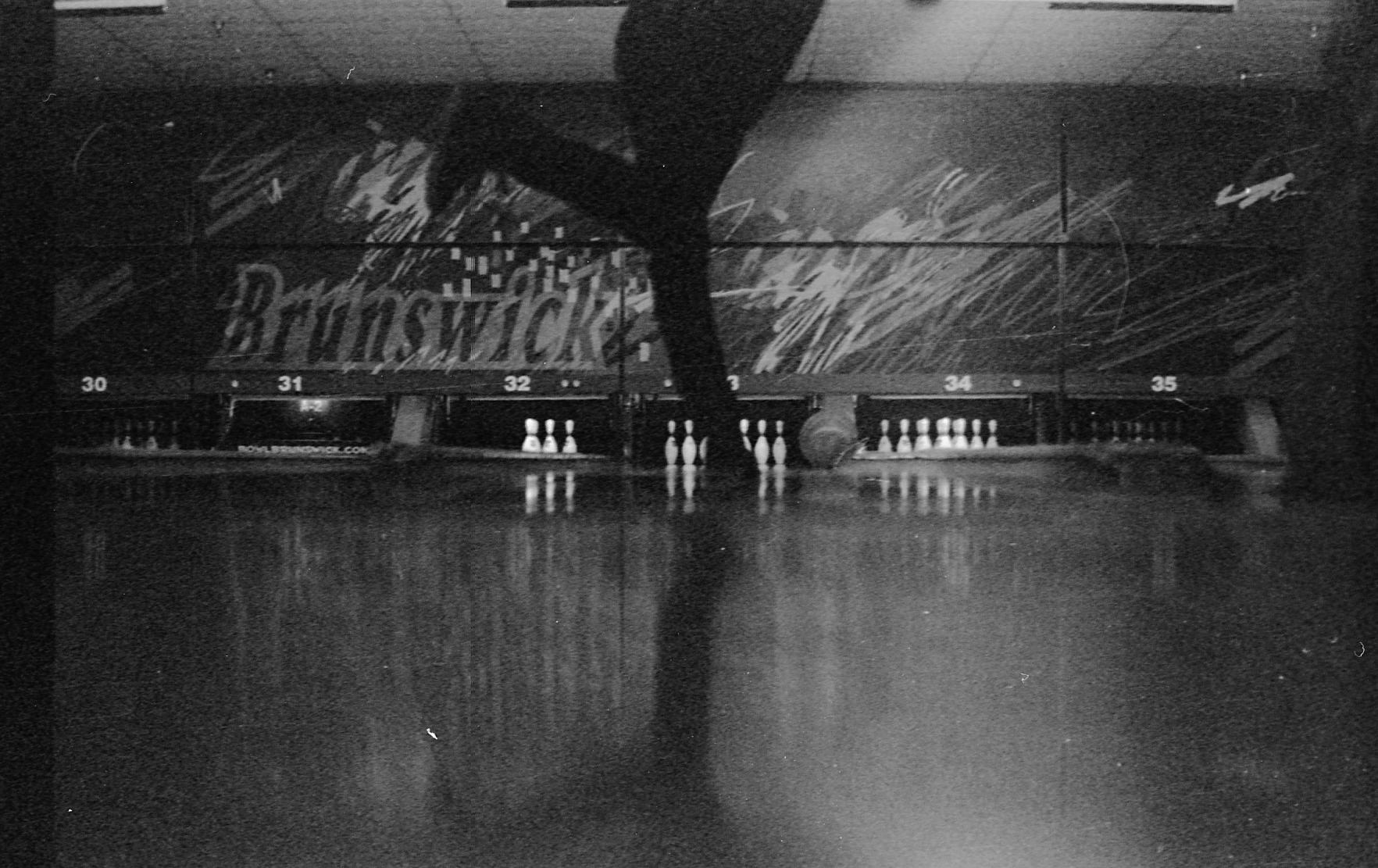
Bowling view

wedding table designs
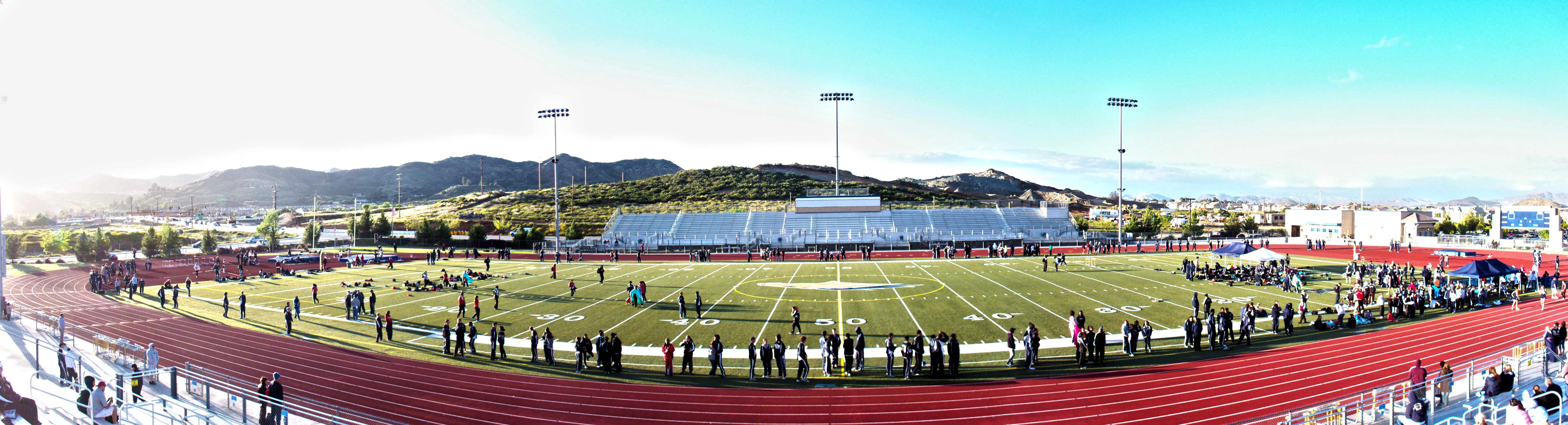
Track Panorama
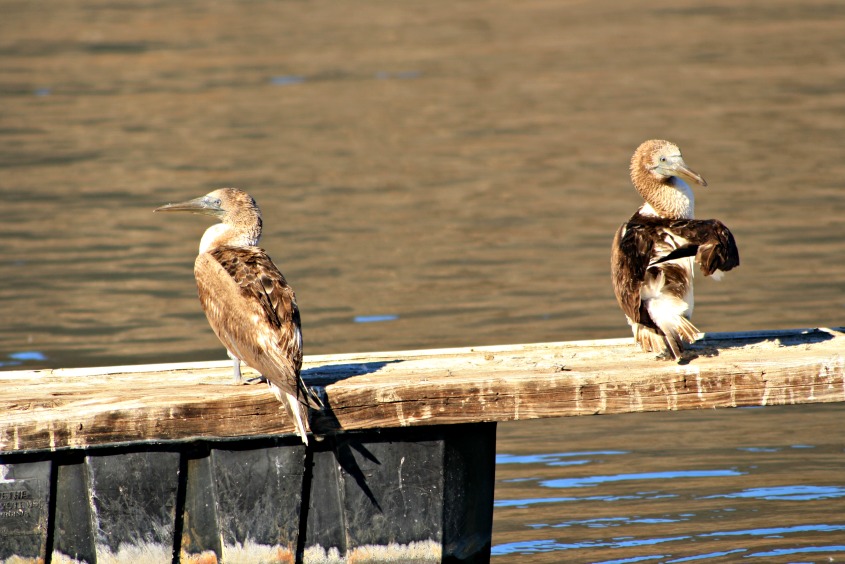
Blue-footed Boobies

A Typical Photo Walk Day

Finally....
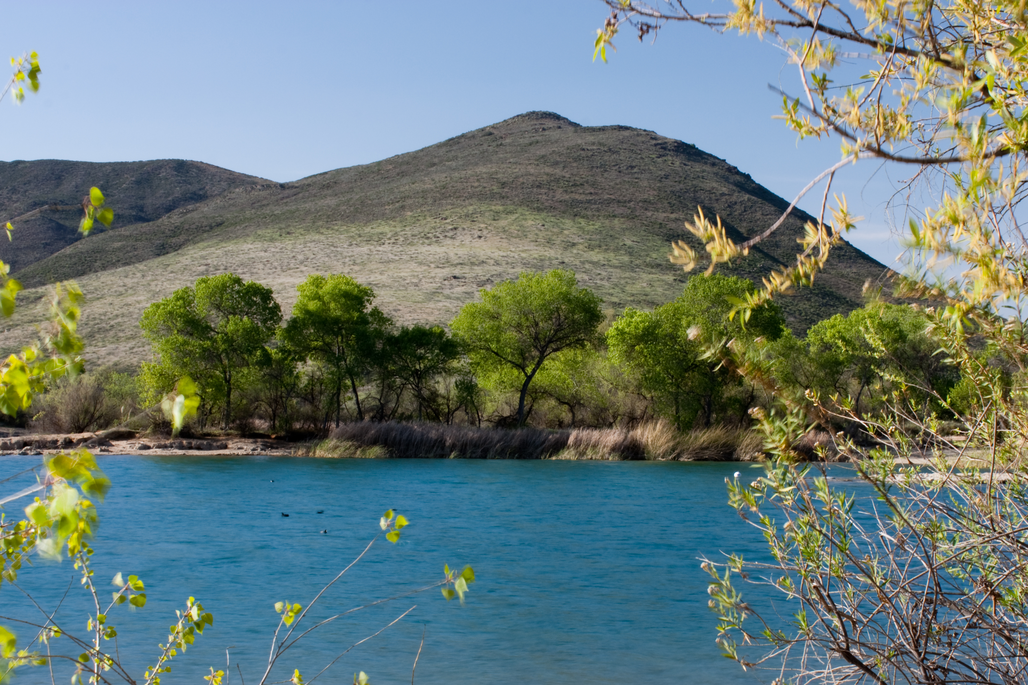
Lake Skinner

I Shot The Sheriff
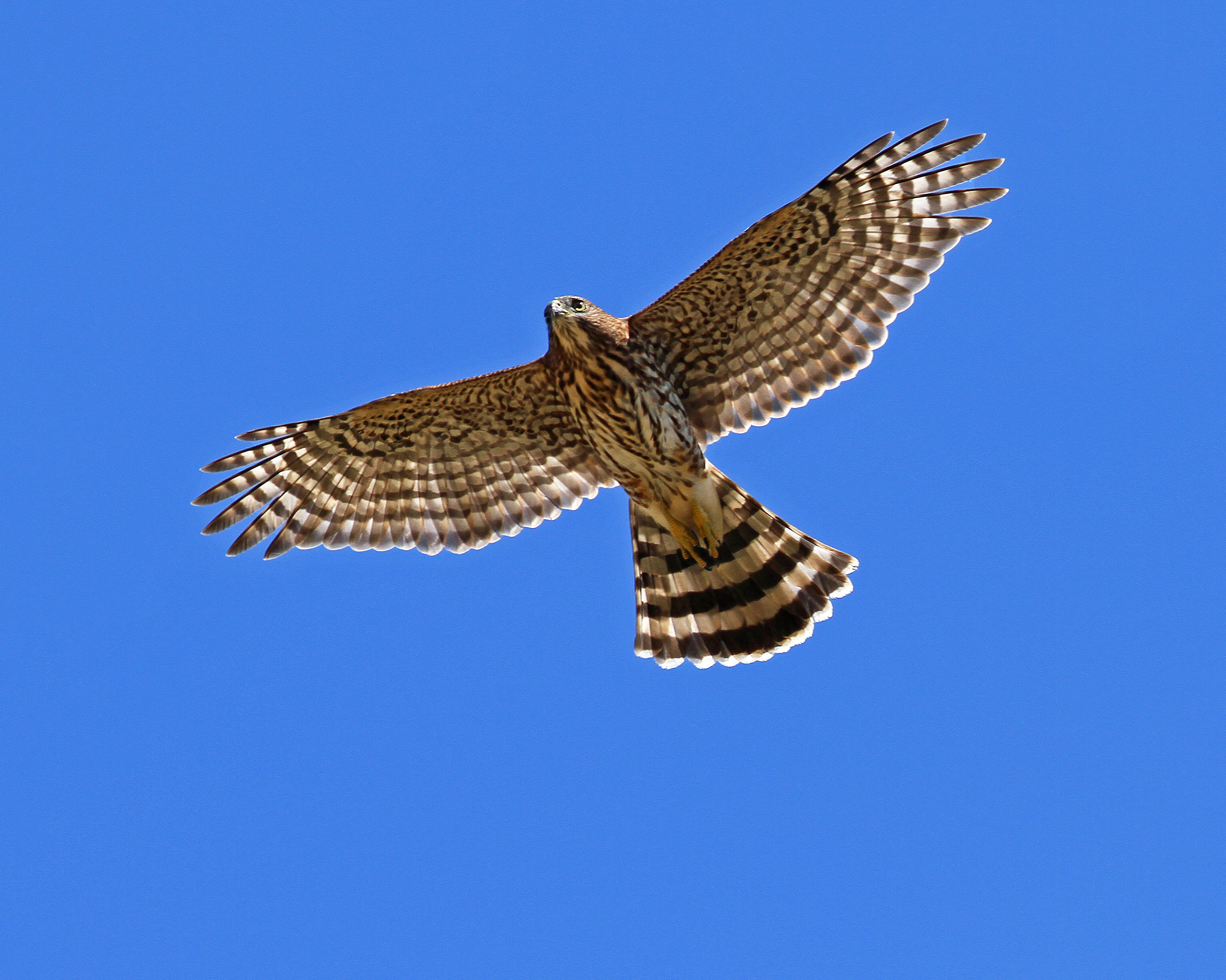
Cooper's Hawk. Murrieta CA.
Menifee, California

Dreams of Starmen
best view in the house

Golden Chandelier
Panorama looking south across the street from the library

Before Starbacks, After Starbucks
Those noisy neighbors

Dark Lines

another view of the water dropping plane
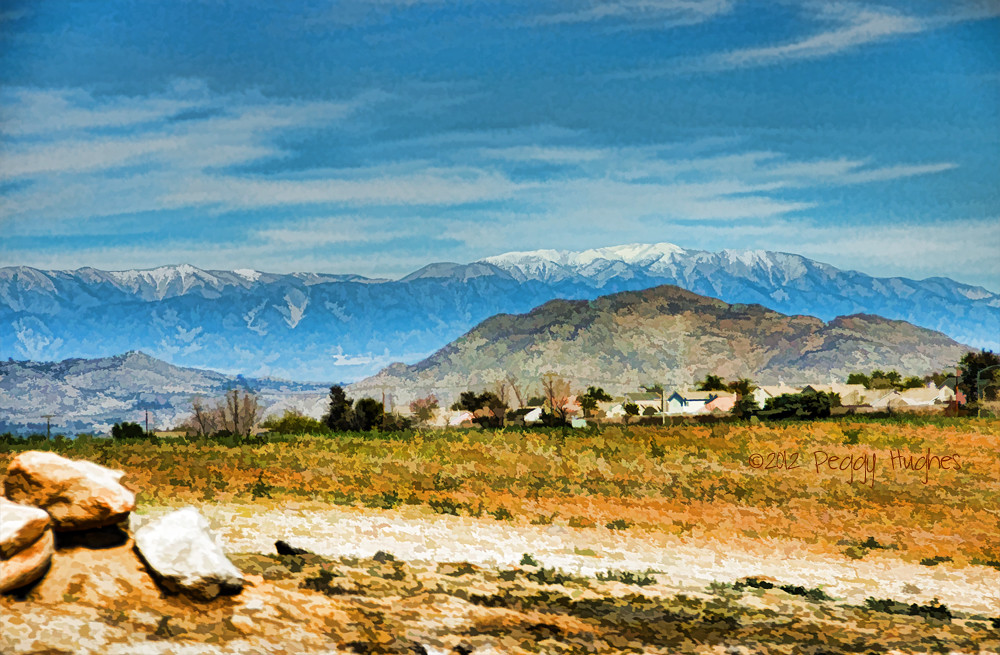
Distant snow, about 60 miles away
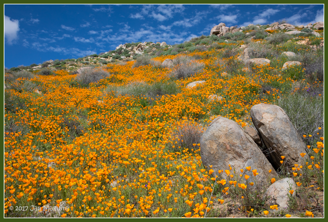
Springtime, Santa Rosa Plateau
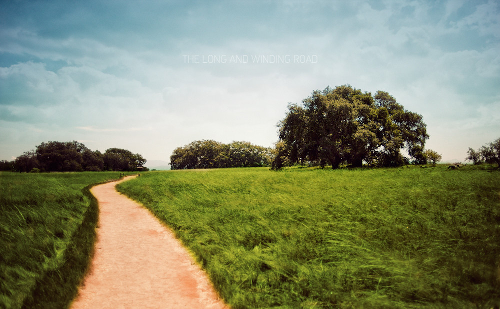
The Long and Winding Road
December 1, 2004 010
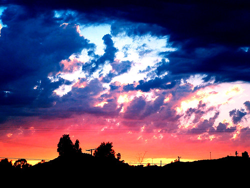
And some more #cloudporn

Santa Rosa 263

Fog shrouded Oak Tree

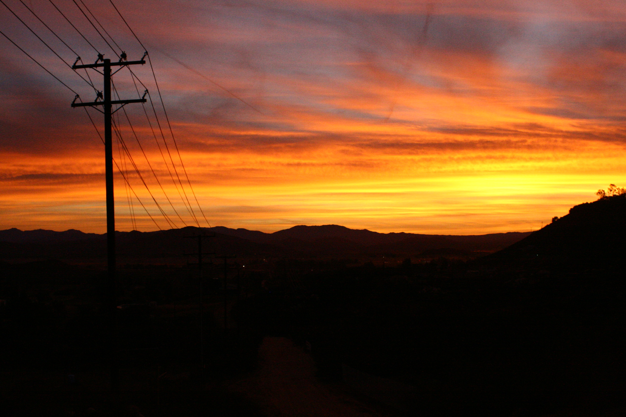
Power Lines at 70 MPH
#santarosaplateau #california #california_igers #snapseed #jj
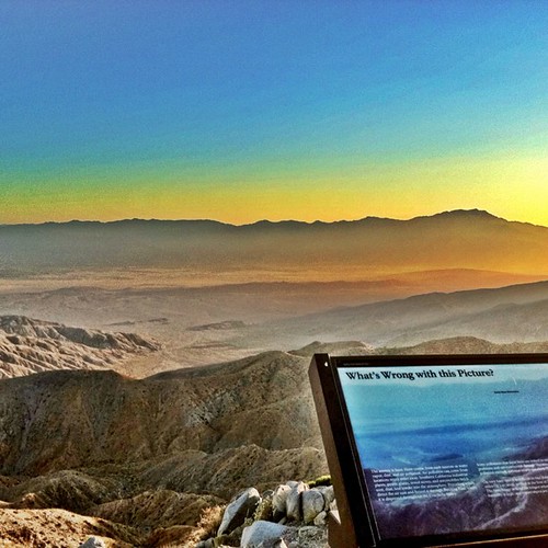
#california #iphoneonly #iphoneography #iphone4 #Joshuatree #nationalpark #HDR

Menifee Lakes Golf Course

#home #lake #country @cityoflakeelsinore
#iphoneonly #iphone4 #iphoneography #hipstamatic
February 19, 2005 146
Consolation Prize 1520
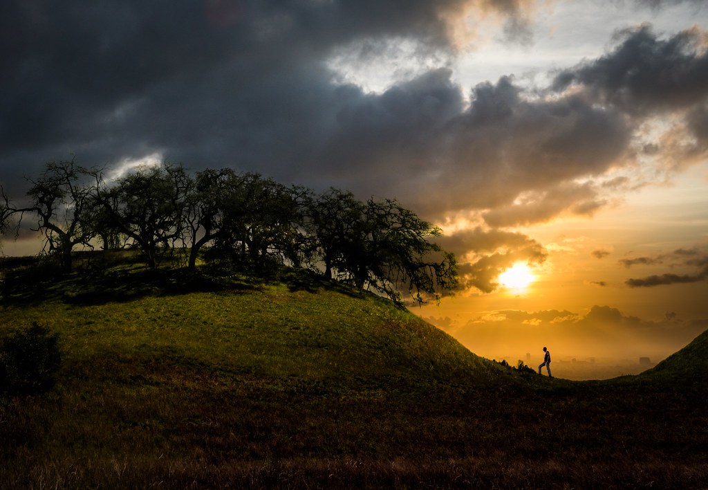
The Man Who Went Up a Hill and Other Stories

114489723_2303120121228-1347-kgd3mv
September 29, 2005 052
#iphone #iphoneonly #iphone4 #iphoneography #hipstamatic
#iphoneography #iphone #mobile
Topographic Map of Desert Locust St, Murrieta, CA, USA
Find elevation by address:

Places near Desert Locust St, Murrieta, CA, USA:
Greer Ranch
26836 Desert Locust St
26836 Desert Locust St
26836 Desert Locust St
26525 Horsetail St
27201 Pumpkin St
27451 Trefoil St
27451 Trefoil St
27451 Trefoil St
36316 Bladen Ave
23638 Wooden Horse Trail
24320 Vía Las Junitas
28062 Baxter Rd
Sunset Way
24798 Fire Falls Dr
33194 Helen Ln
23429 Saratoga Springs Pl
34720 The Farm Rd
33990 Green Bean Ln
31985 Murrieta Rd
Recent Searches:
- Elevation of NY-, Friendship, NY, USA
- Elevation of 64 Danakas Dr, Winnipeg, MB R2C 5N7, Canada
- Elevation of 4 Vale Rd, Sheffield S3 9QX, UK
- Elevation of Keene Point Drive, Keene Point Dr, Grant, AL, USA
- Elevation of State St, Zanesville, OH, USA
- Elevation of Austin Stone Dr, Haslet, TX, USA
- Elevation of Bydgoszcz, Poland
- Elevation of Bydgoszcz, Poland
- Elevation of Calais Dr, Del Mar, CA, USA
- Elevation of Placer Mine Ln, West Jordan, UT, USA