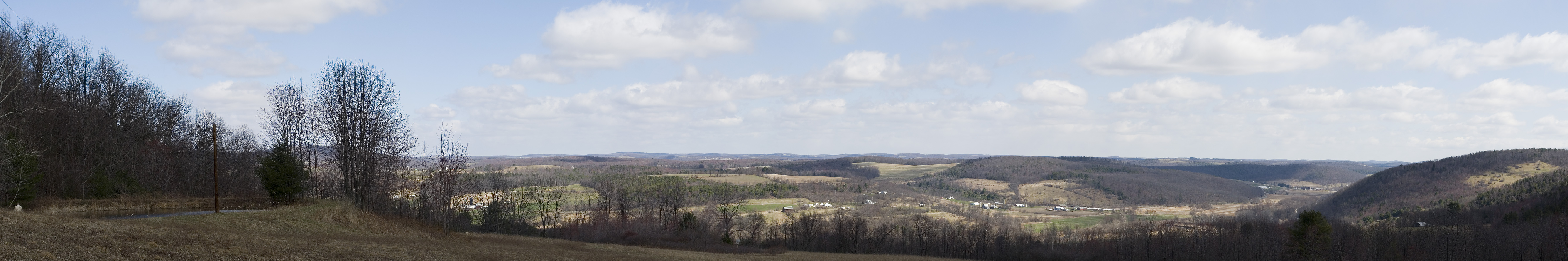
Elevation of Windfall Rd, Granville Summit, PA, USA
Location: United States > Pennsylvania > Bradford County >
Longitude: -76.775040
Latitude: 41.7042095
Elevation: 460m / 1509feet
Barometric Pressure: 96KPa
Elevation Map:
Satellite Map:
Related Photos:
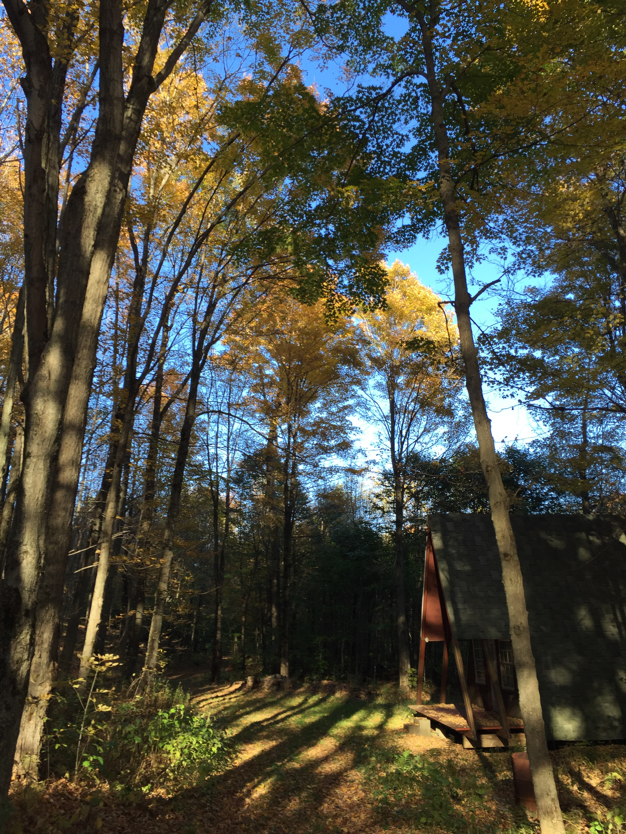
Cabin Pano

IMG_0174.JPG
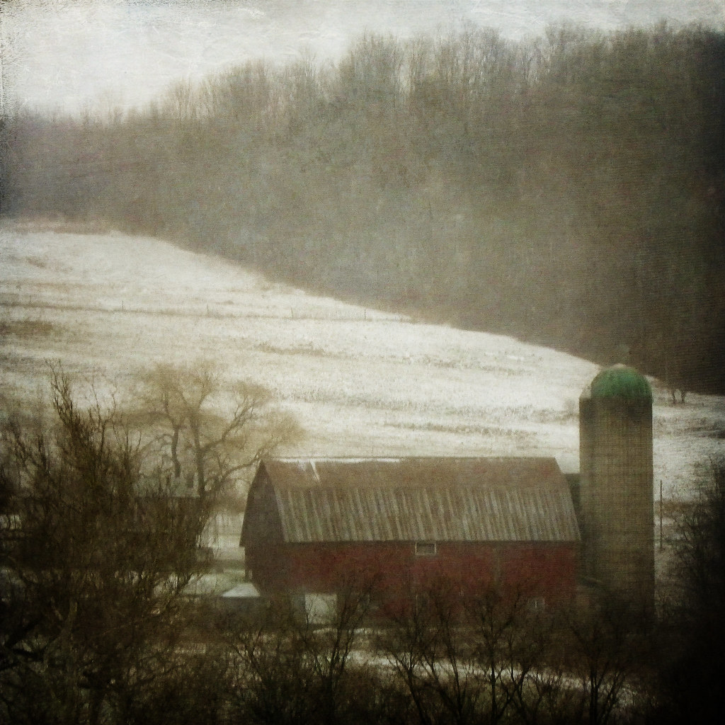
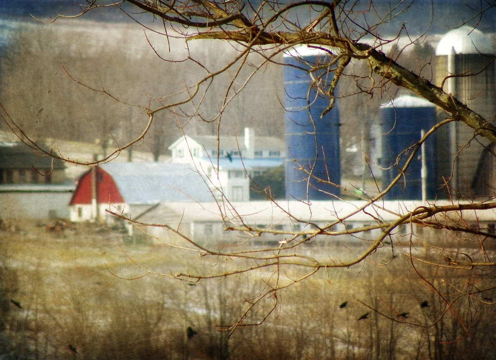
A Farm in Winter
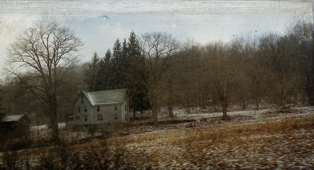
The Passage of Time
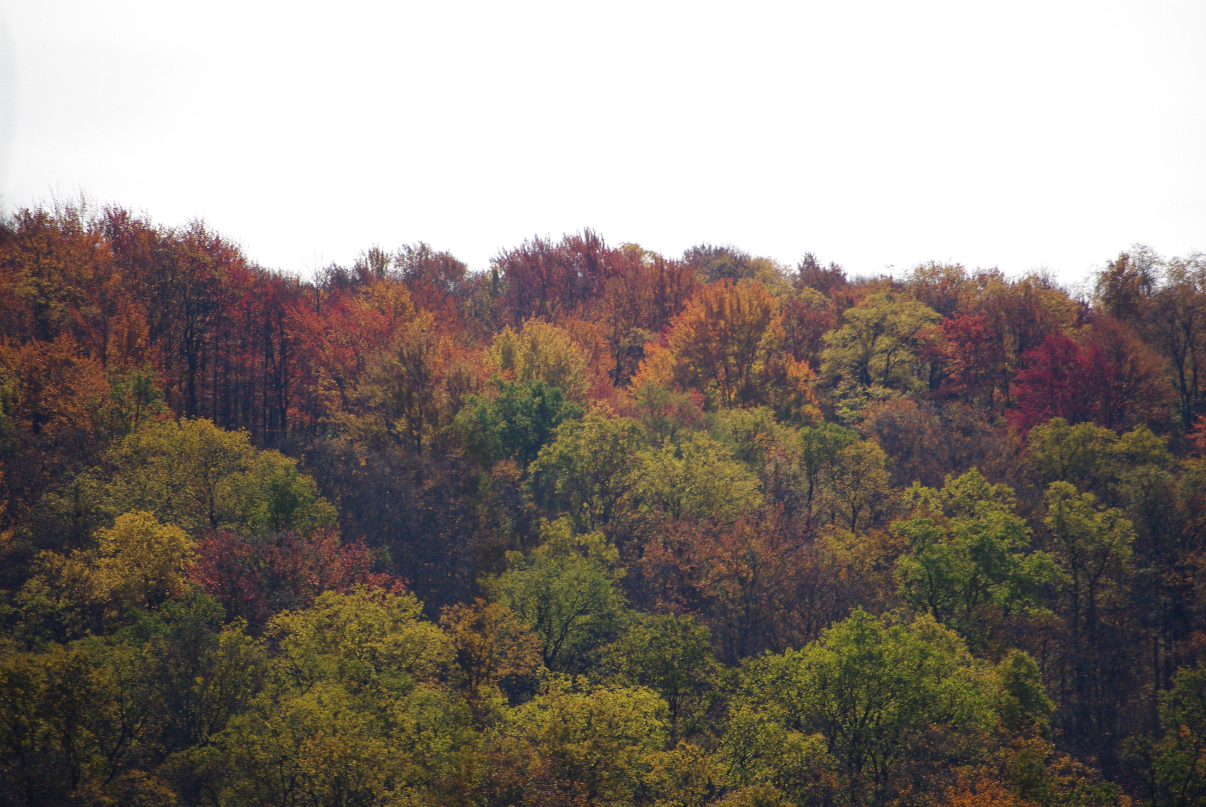
Canton 2015-82

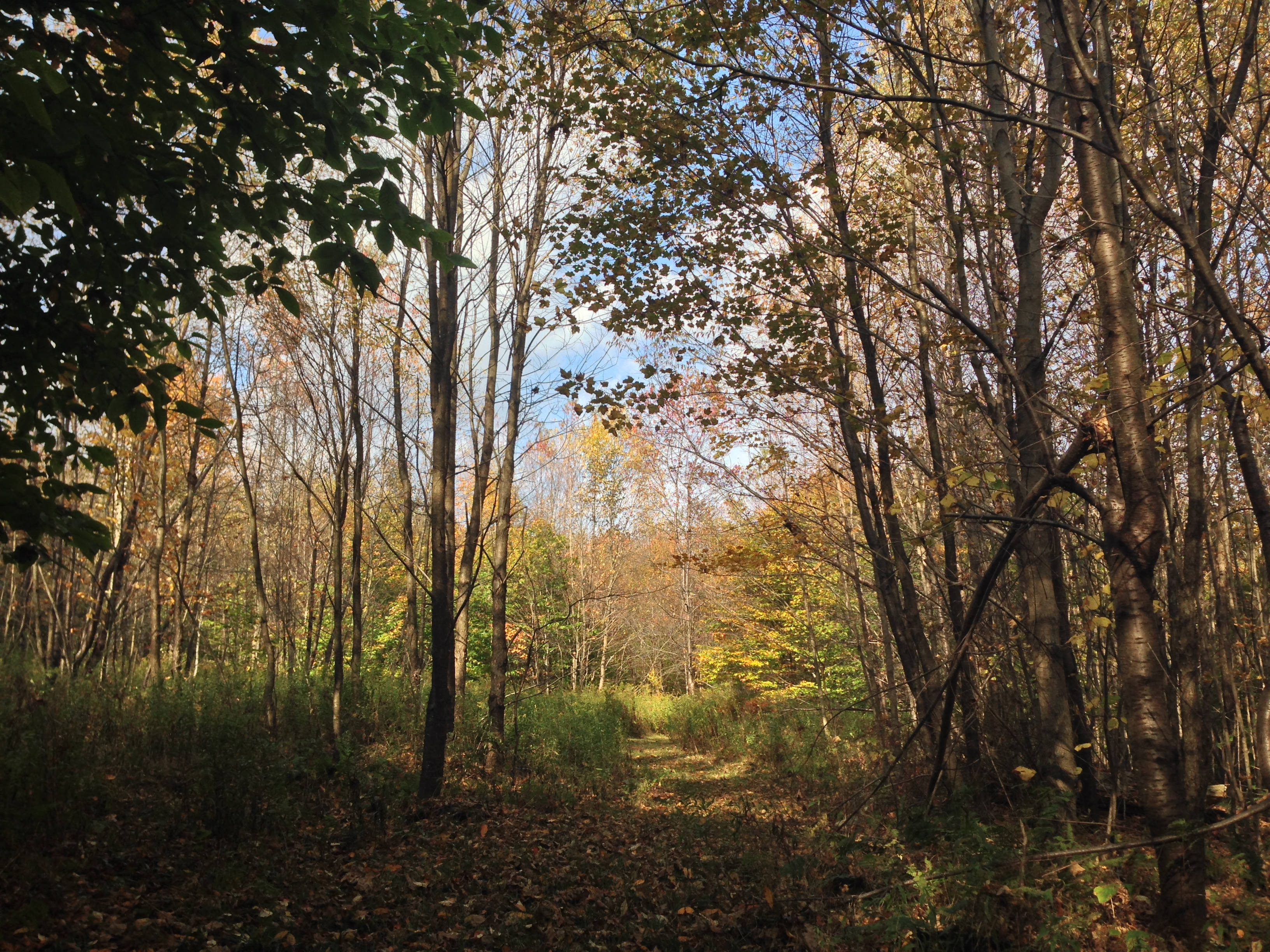
Tioga County October 2011 054
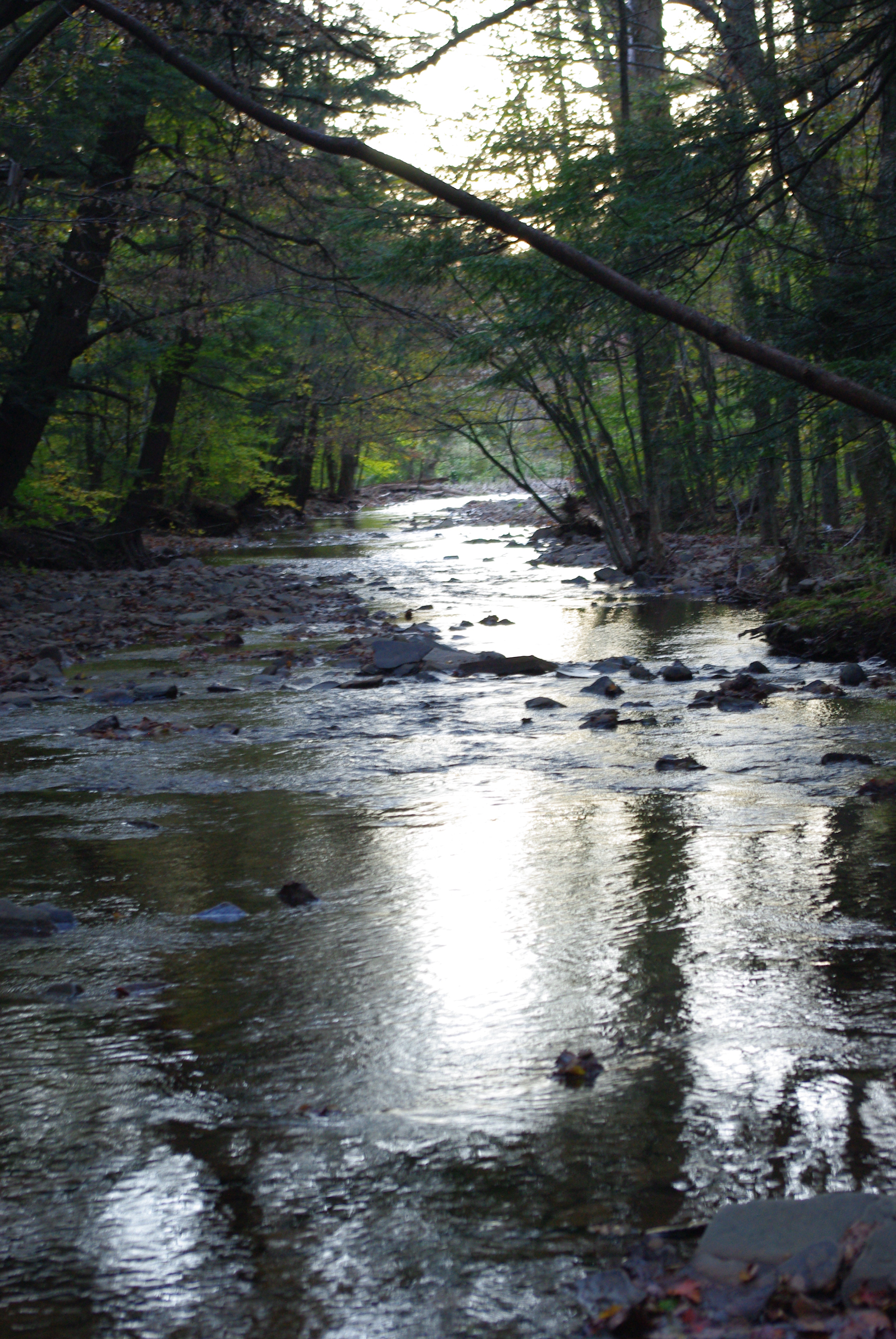
Tioga County October 2011 106
Sensinger Bra 1H with runoff and hay bales in the foreground

Canton 2015-87

Canton 2015-133
Canton 2015-80

sharp-lobed hepatica
All My Memories, Neat Little Rows
Finding Home
Tioga County October 2011 159
Canton 2015-128
Tioga County October 2011 125
STAB 11-5
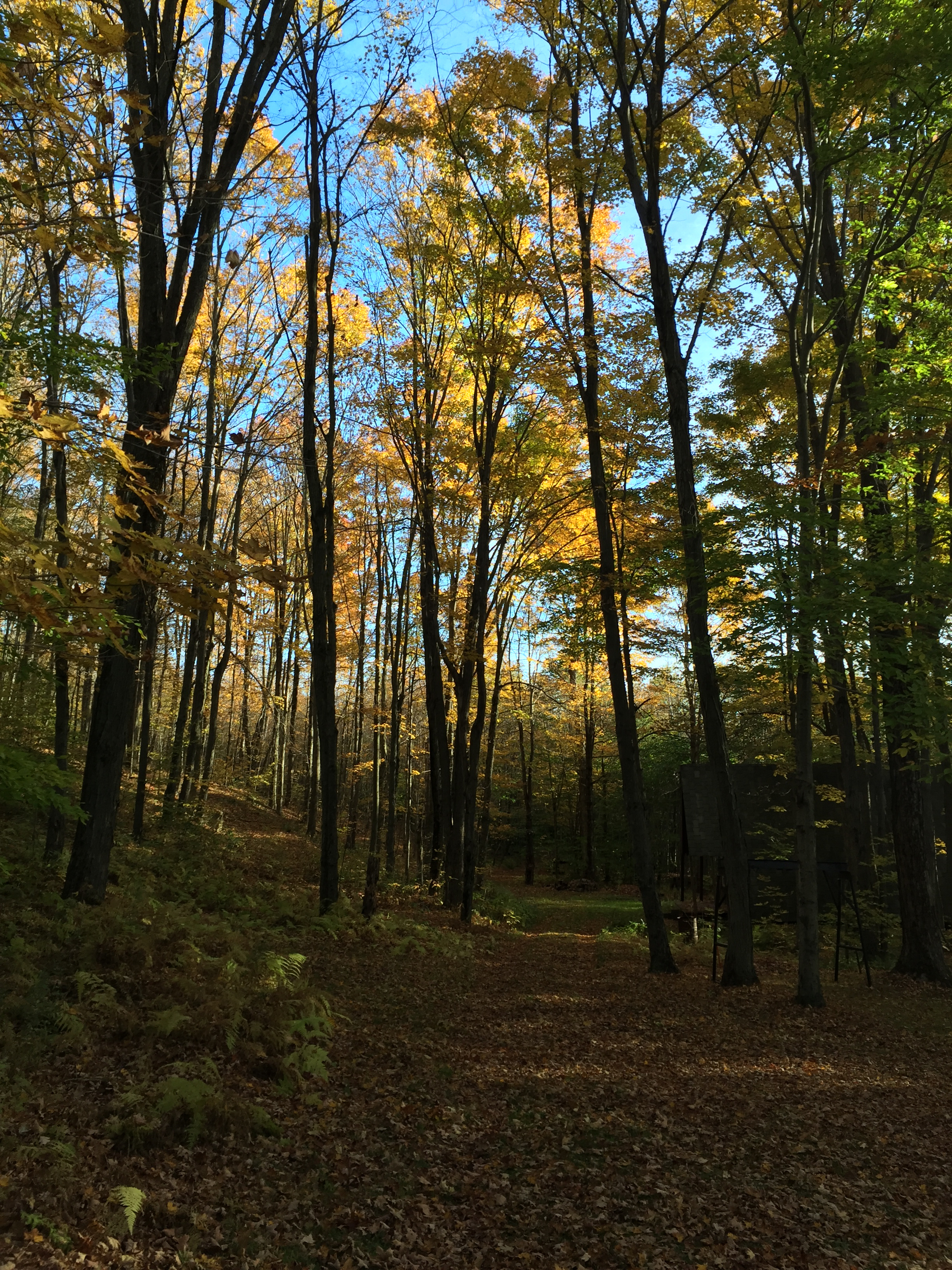
Tioga County October 2011 002
Canton 2015-121
Canton 2015-120
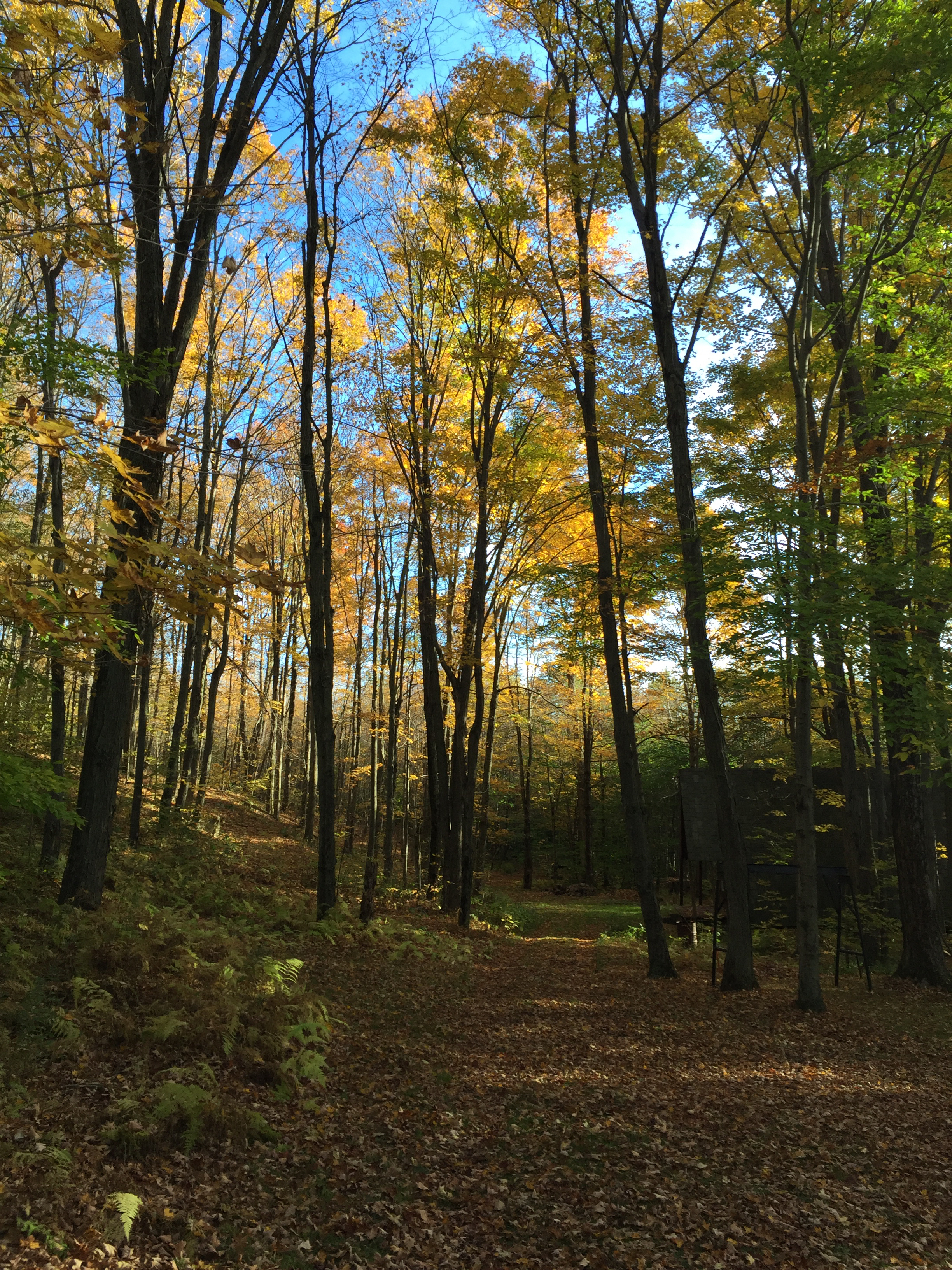
Tioga County October 2011 202
Topographic Map of Windfall Rd, Granville Summit, PA, USA
Find elevation by address:

Places near Windfall Rd, Granville Summit, PA, USA:
Granville Summit
Ams - Primary Care Troy
PA-, Canton, PA, USA
Granville Township
Canton, PA, USA
2534 Bunyan Hill Rd
Mill St, Canton, PA, USA
Troy
85 N Minnequa Ave
Leroy Township
Troy St, Canton, PA, USA
3002 Pa-154
Canton
First Citizens Community Bank
Armenia Township
370 S Bolt Rd
Armenia Mountain Campground
Canton Township
PA-14, Canton, PA, USA
Wallace Rd, Troy, PA, USA
Recent Searches:
- Elevation of Corso Fratelli Cairoli, 35, Macerata MC, Italy
- Elevation of Tallevast Rd, Sarasota, FL, USA
- Elevation of 4th St E, Sonoma, CA, USA
- Elevation of Black Hollow Rd, Pennsdale, PA, USA
- Elevation of Oakland Ave, Williamsport, PA, USA
- Elevation of Pedrógão Grande, Portugal
- Elevation of Klee Dr, Martinsburg, WV, USA
- Elevation of Via Roma, Pieranica CR, Italy
- Elevation of Tavkvetili Mountain, Georgia
- Elevation of Hartfords Bluff Cir, Mt Pleasant, SC, USA