Elevation of Mill St, Canton, PA, USA
Location: United States > Pennsylvania > Bradford County > Leroy Township >
Longitude: -76.706988
Latitude: 41.6759516
Elevation: 313m / 1027feet
Barometric Pressure: 98KPa
Elevation Map:
Satellite Map:
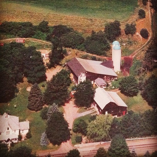
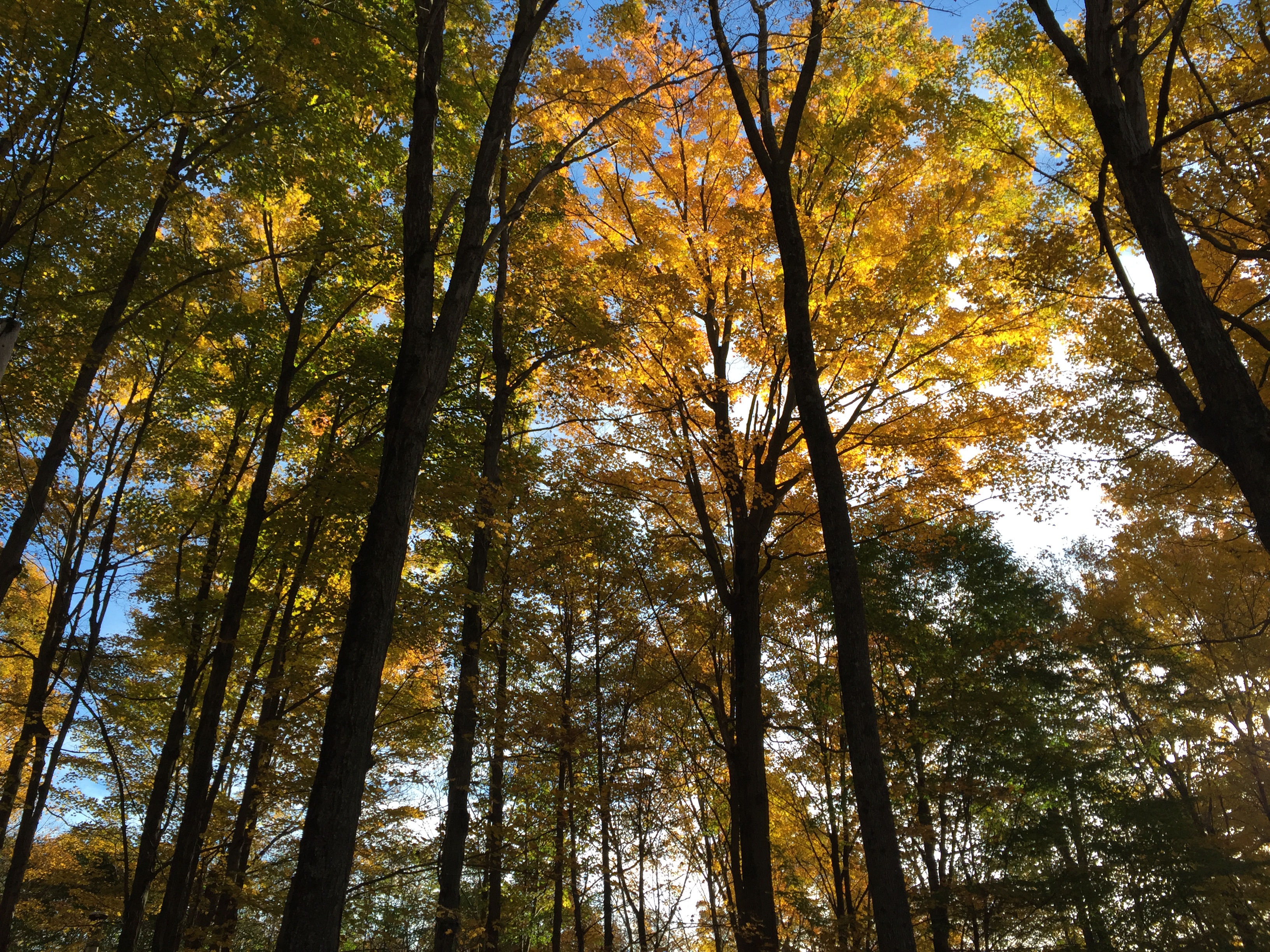
Related Photos:
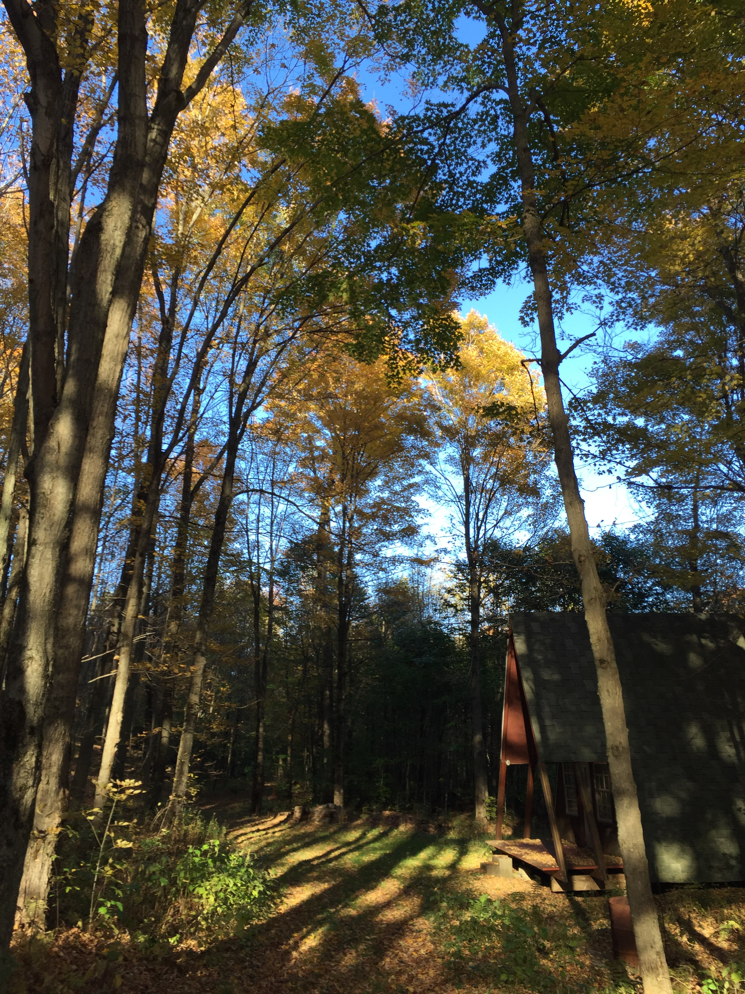
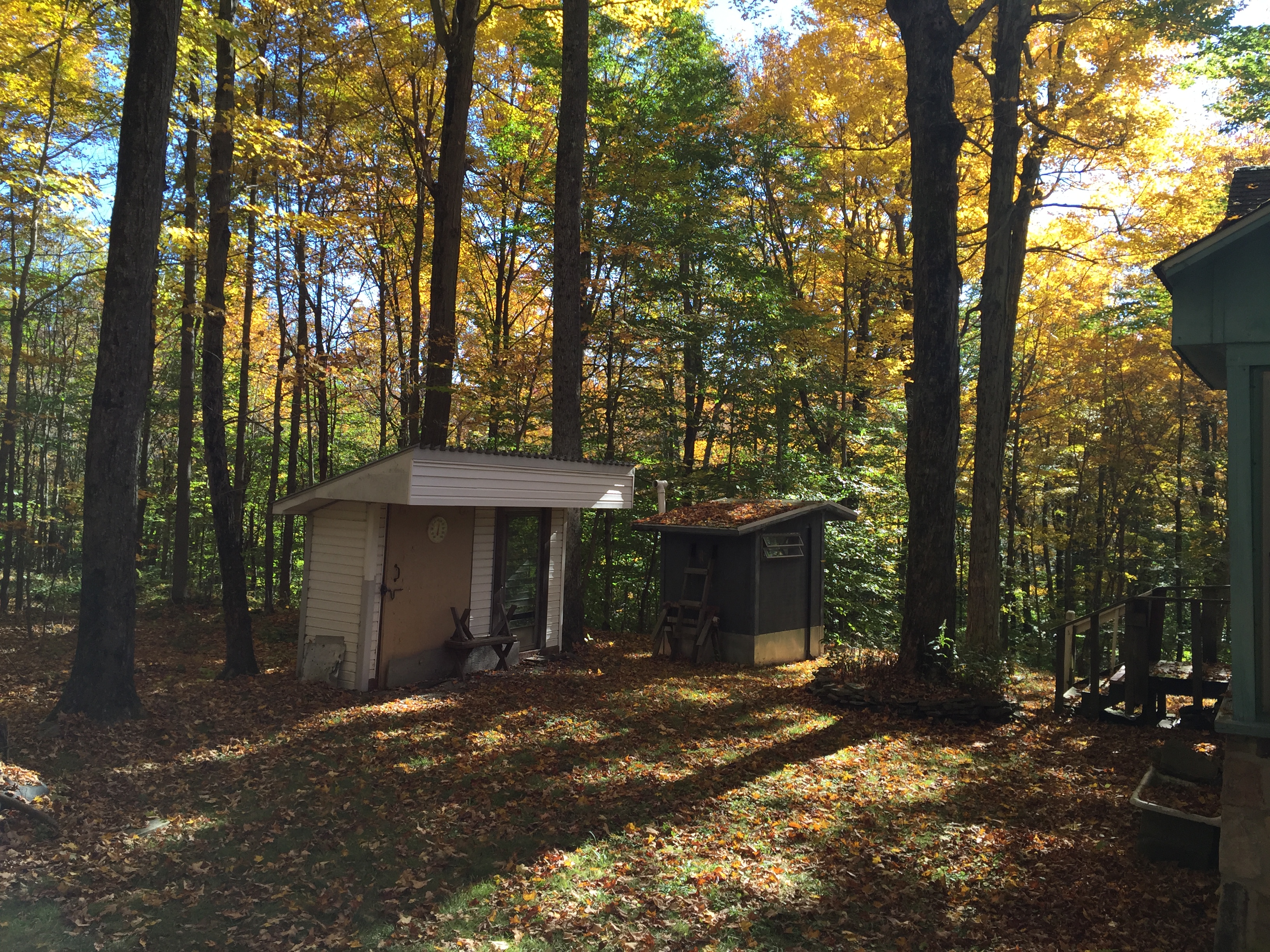
Cabin Pano
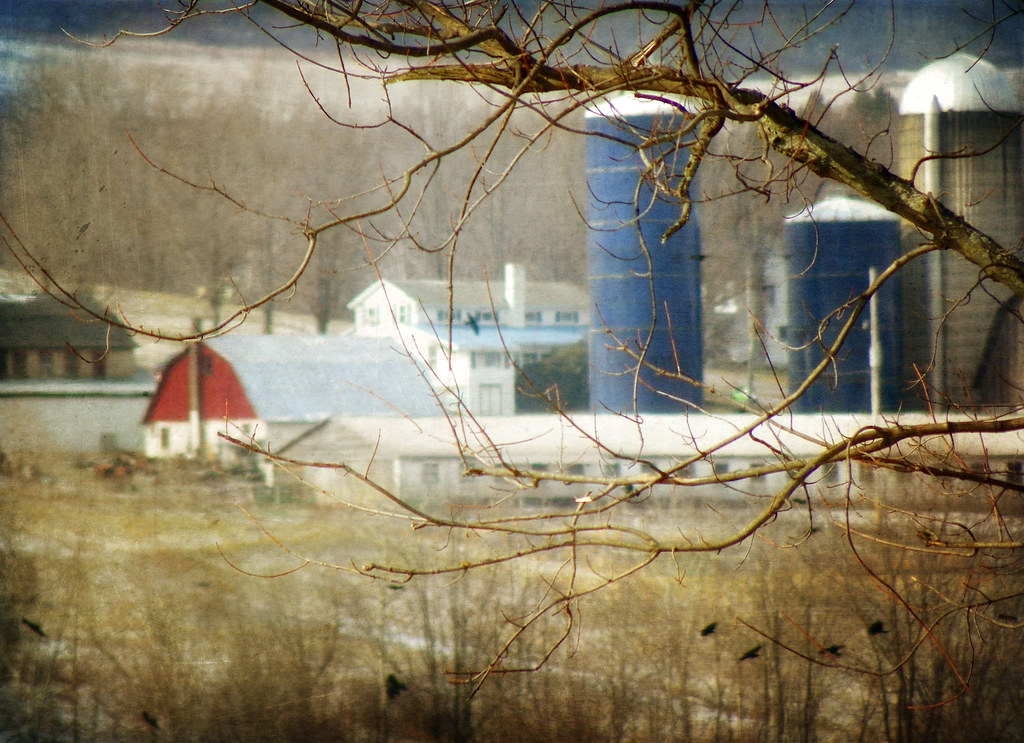
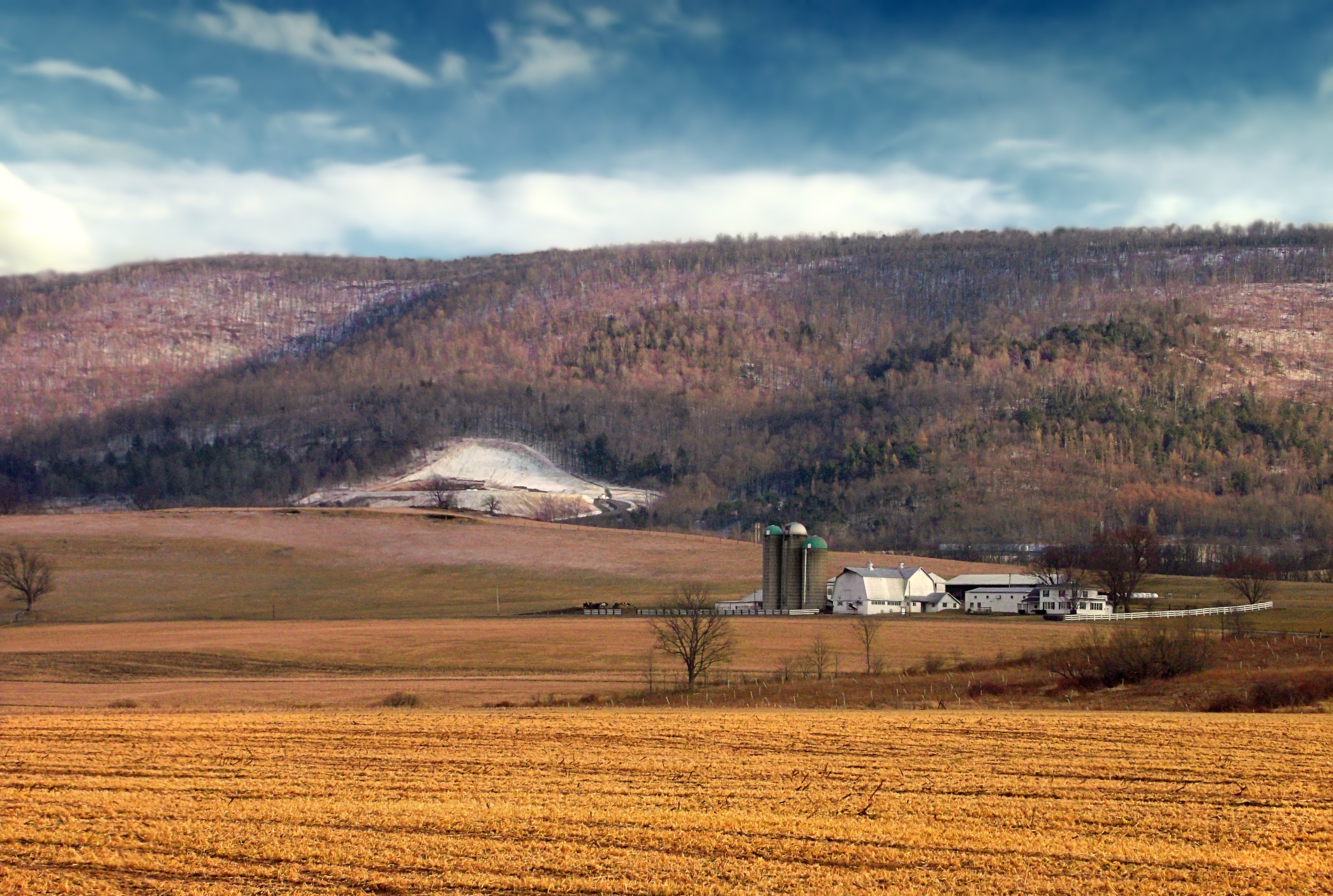
A Farm in Winter
The Passage of Time
A Remembrance of Back Then
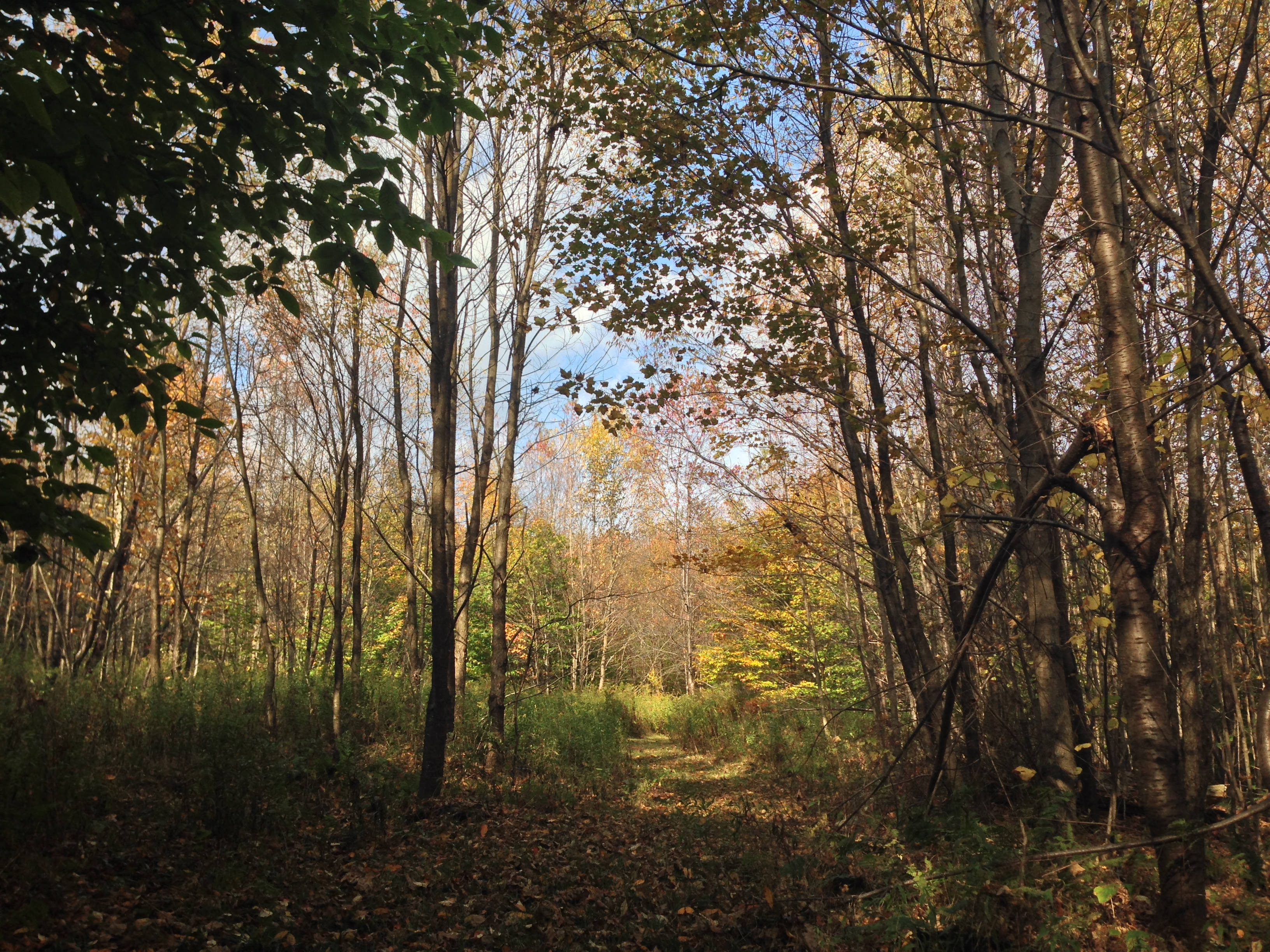
Finding Home

sharp-lobed hepatica
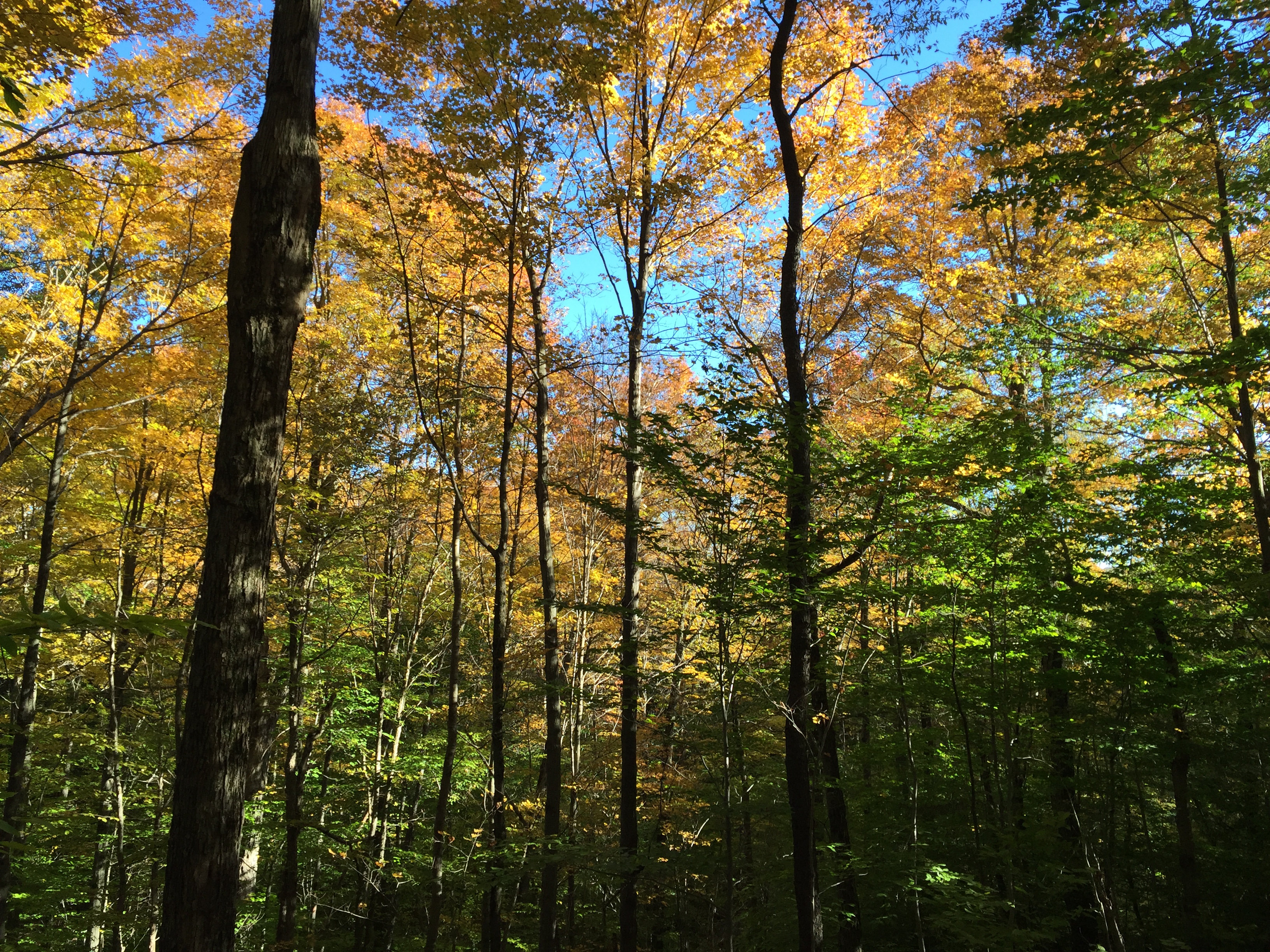
Canton 2015-82
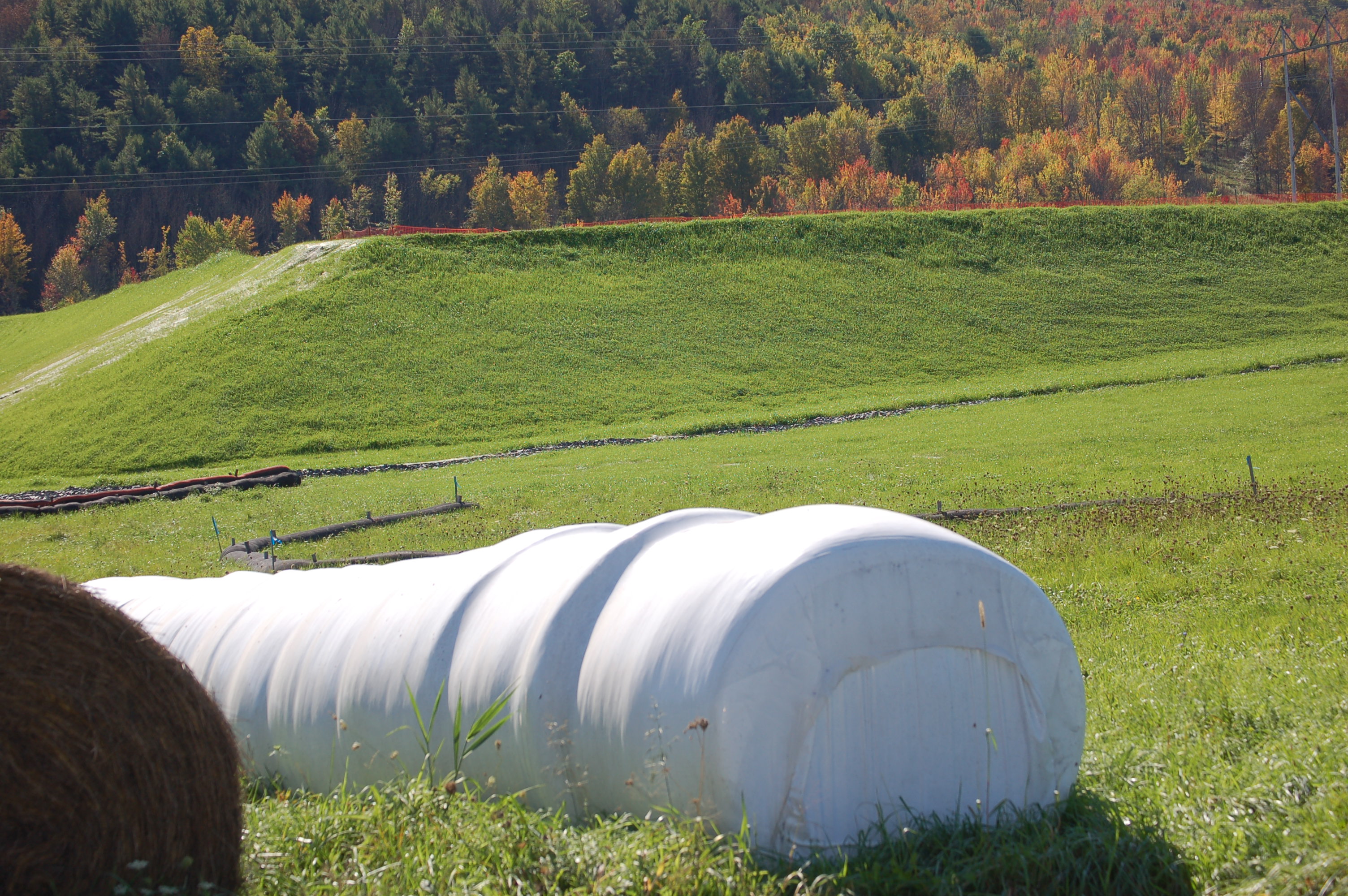
Sensinger Bra 1H with runoff and hay bales in the foreground

Canton 2015-87
The Pretzel Tree
Canton 2015-80

Canton 2015-133
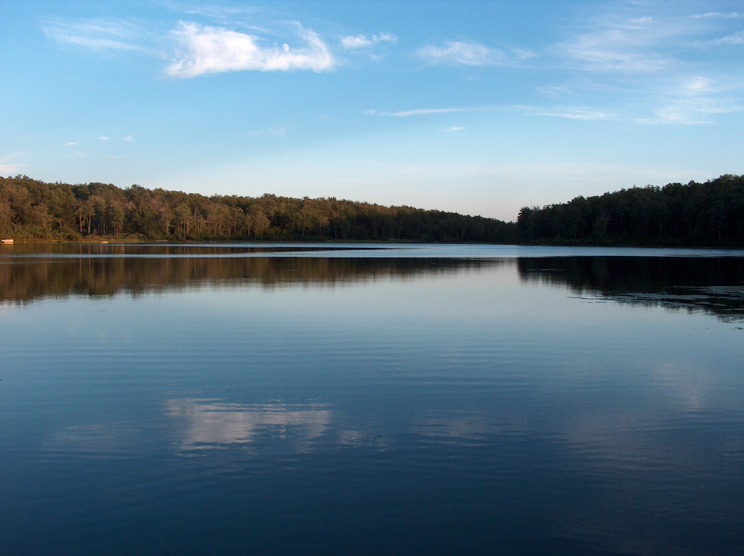
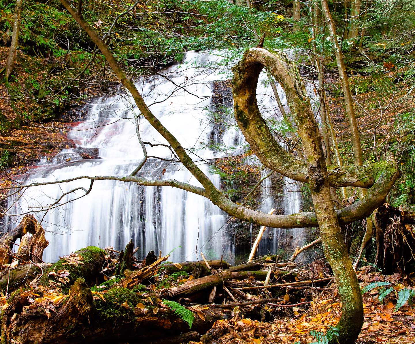
Sunfish Pond06 - The Lake
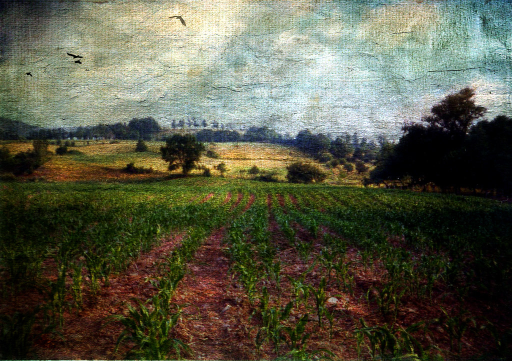
All My Memories, Neat Little Rows

IMG_0174.JPG
STAB 11-5
Canton 2015-128
Farming Valley (1)
Canton 2015-120
Canton 2015-121
My Childhood Home
Canton 2015-113
Topographic Map of Mill St, Canton, PA, USA
Find elevation by address:

Places near Mill St, Canton, PA, USA:
2534 Bunyan Hill Rd
Leroy Township
PA-, Canton, PA, USA
Granville Township
370 S Bolt Rd
Windfall Rd, Granville Summit, PA, USA
Granville Summit
PA-, Granville Summit, PA, USA
Fairview Rd, Troy, PA, USA
Franklin Township
2116 Allen Meadow Rd
662 Barclay View Rd
Wallace Rd, Troy, PA, USA
3537 Mountain Rd
3537 Mountain Rd
Canton, PA, USA
West Burlington Township
Ams - Primary Care Troy
3002 Pa-154
Sr, Shunk, PA, USA
Recent Searches:
- Elevation of East W.T. Harris Boulevard, E W.T. Harris Blvd, Charlotte, NC, USA
- Elevation of West Sugar Creek, Charlotte, NC, USA
- Elevation of Wayland, NY, USA
- Elevation of Steadfast Ct, Daphne, AL, USA
- Elevation of Lagasgasan, X+CQH, Tiaong, Quezon, Philippines
- Elevation of Rojo Ct, Atascadero, CA, USA
- Elevation of Flagstaff Drive, Flagstaff Dr, North Carolina, USA
- Elevation of Avery Ln, Lakeland, FL, USA
- Elevation of Woolwine, VA, USA
- Elevation of Lumagwas Diversified Farmers Multi-Purpose Cooperative, Lumagwas, Adtuyon, RV32+MH7, Pangantucan, Bukidnon, Philippines