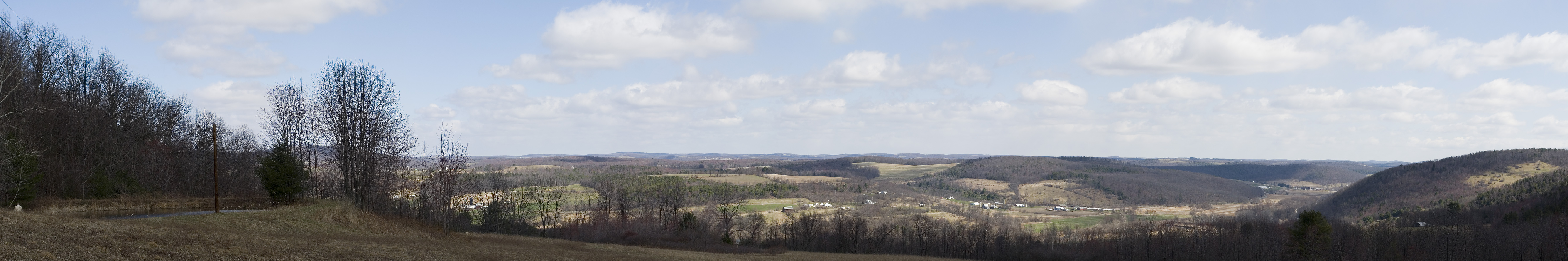
Elevation of Leroy Township, PA, USA
Location: United States > Pennsylvania > Bradford County >
Longitude: -76.710563
Latitude: 41.6400988
Elevation: 653m / 2142feet
Barometric Pressure: 94KPa
Elevation Map:
Satellite Map:
Related Photos:
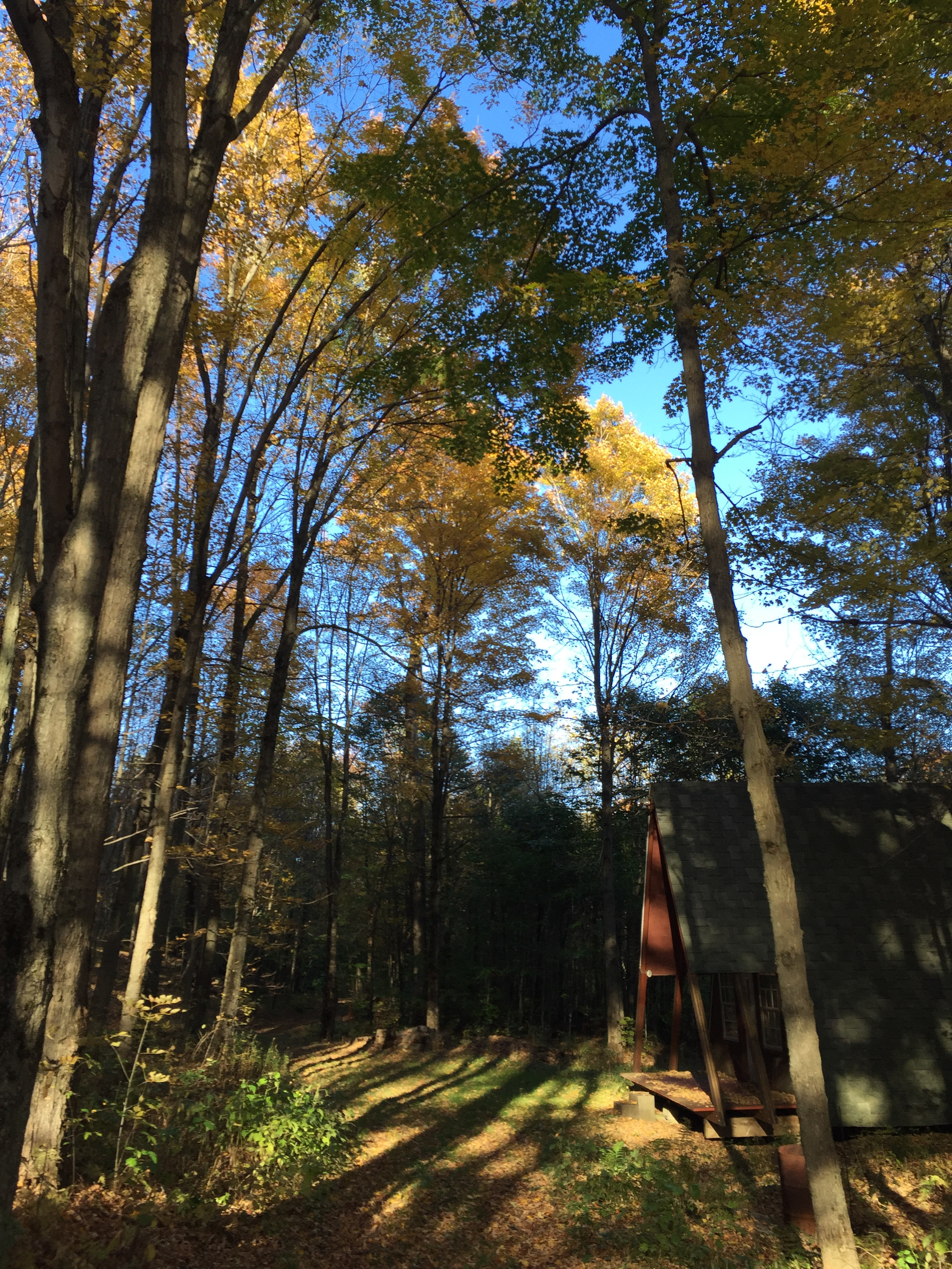
Cabin Pano
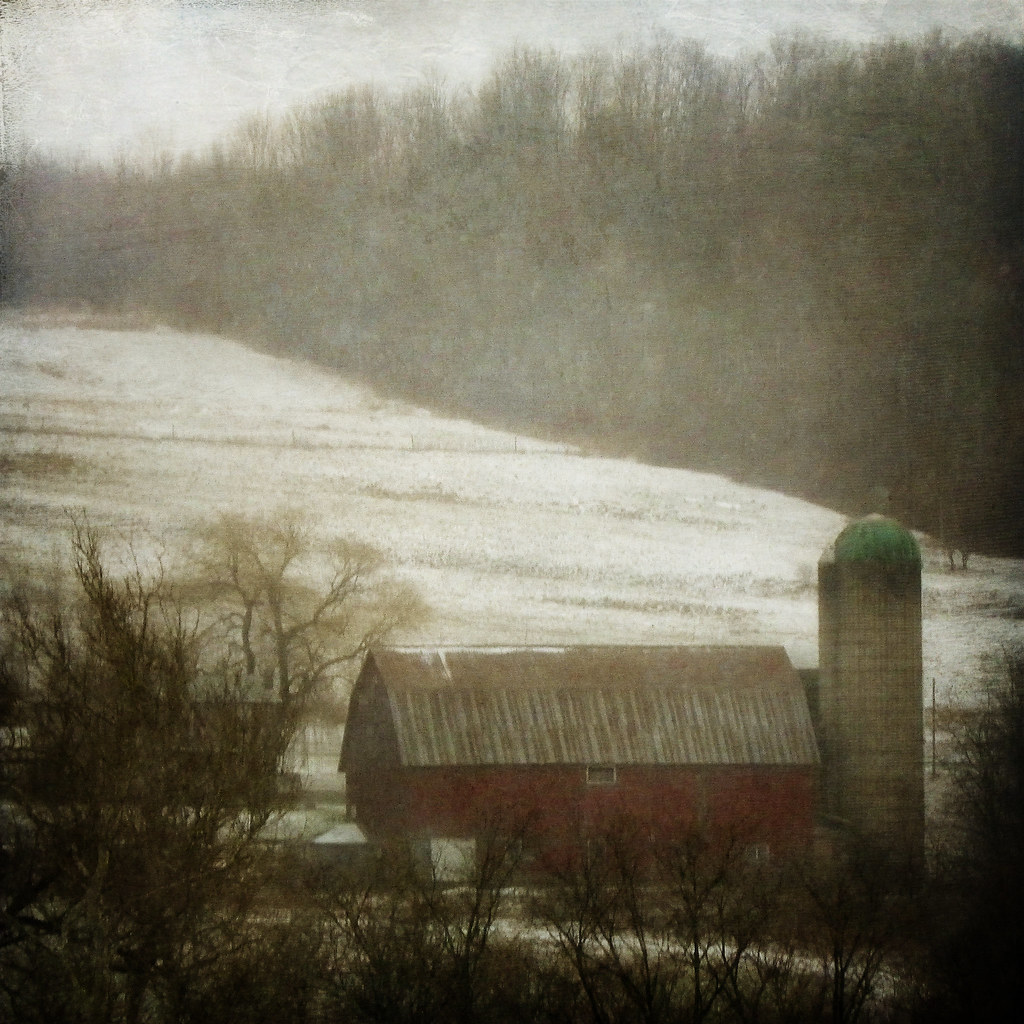
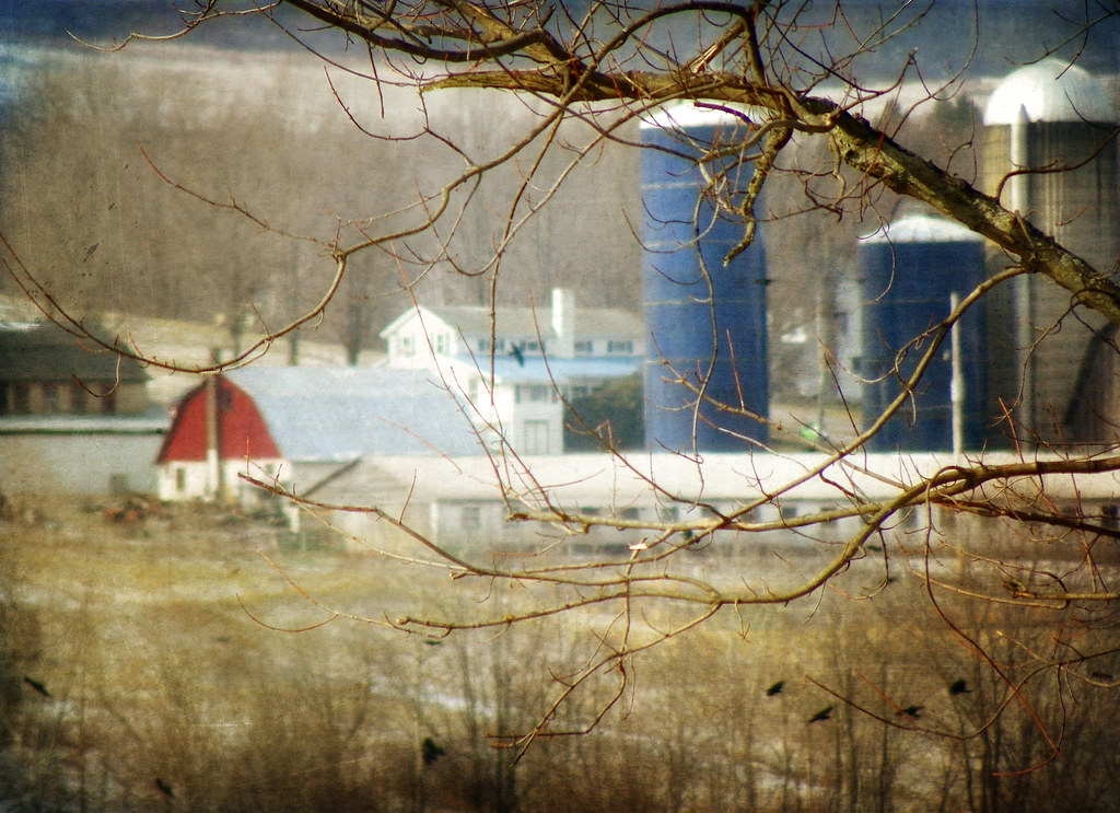
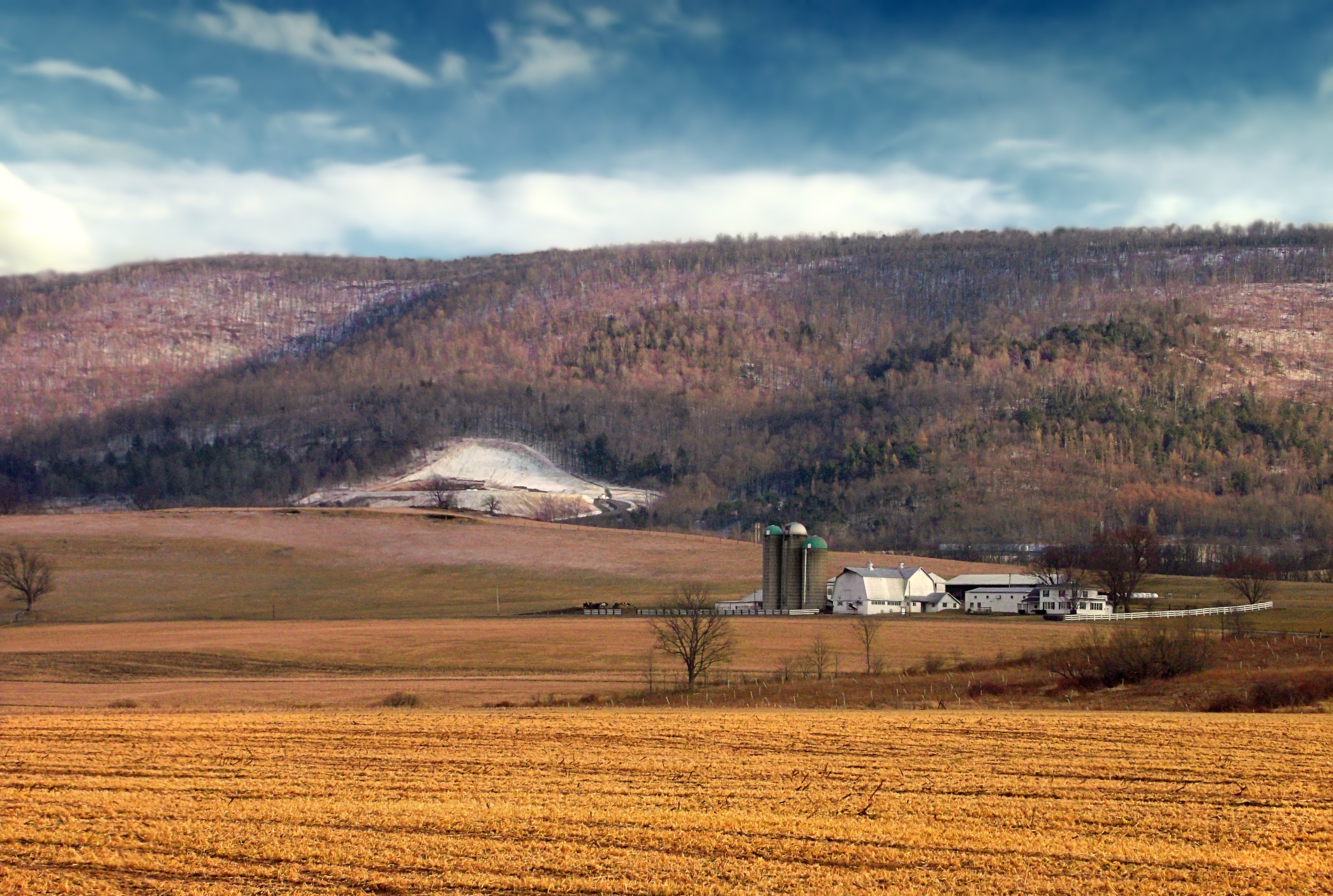
A Farm in Winter
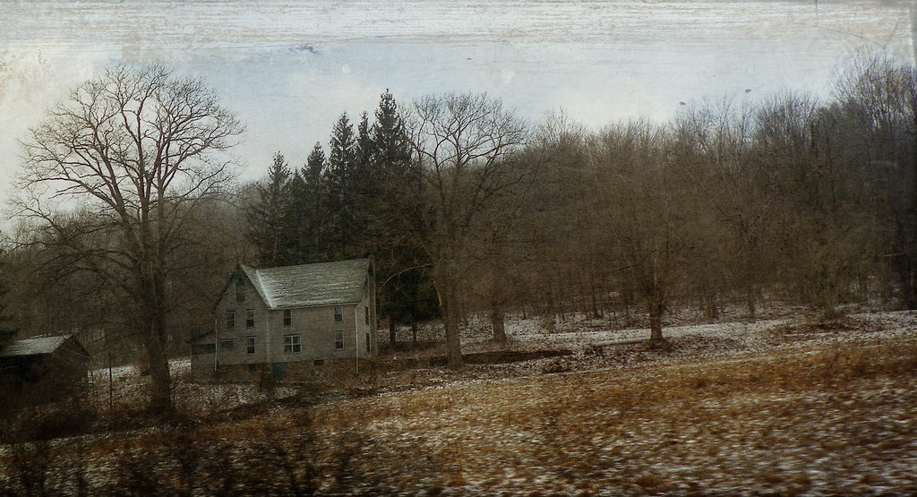
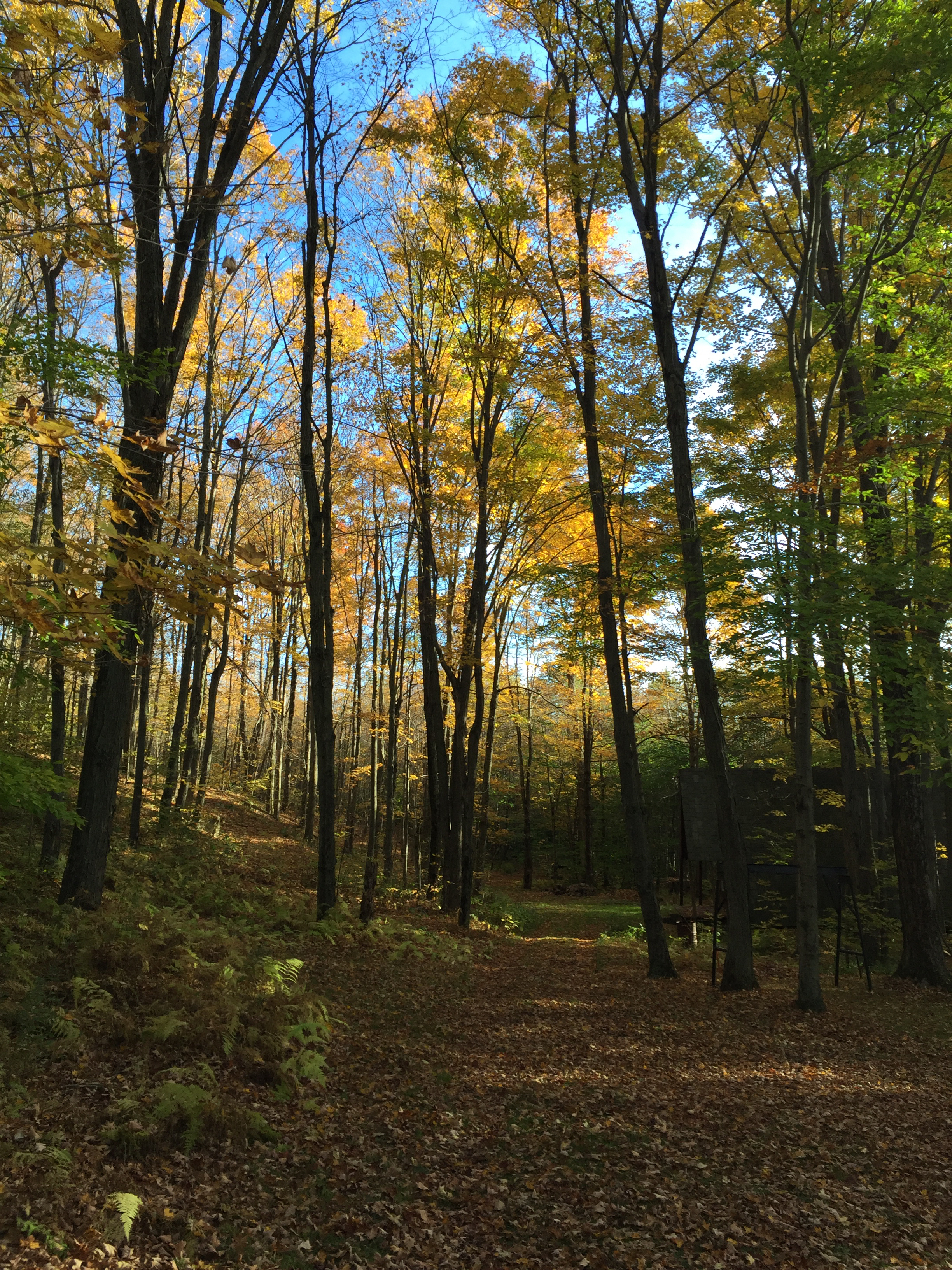
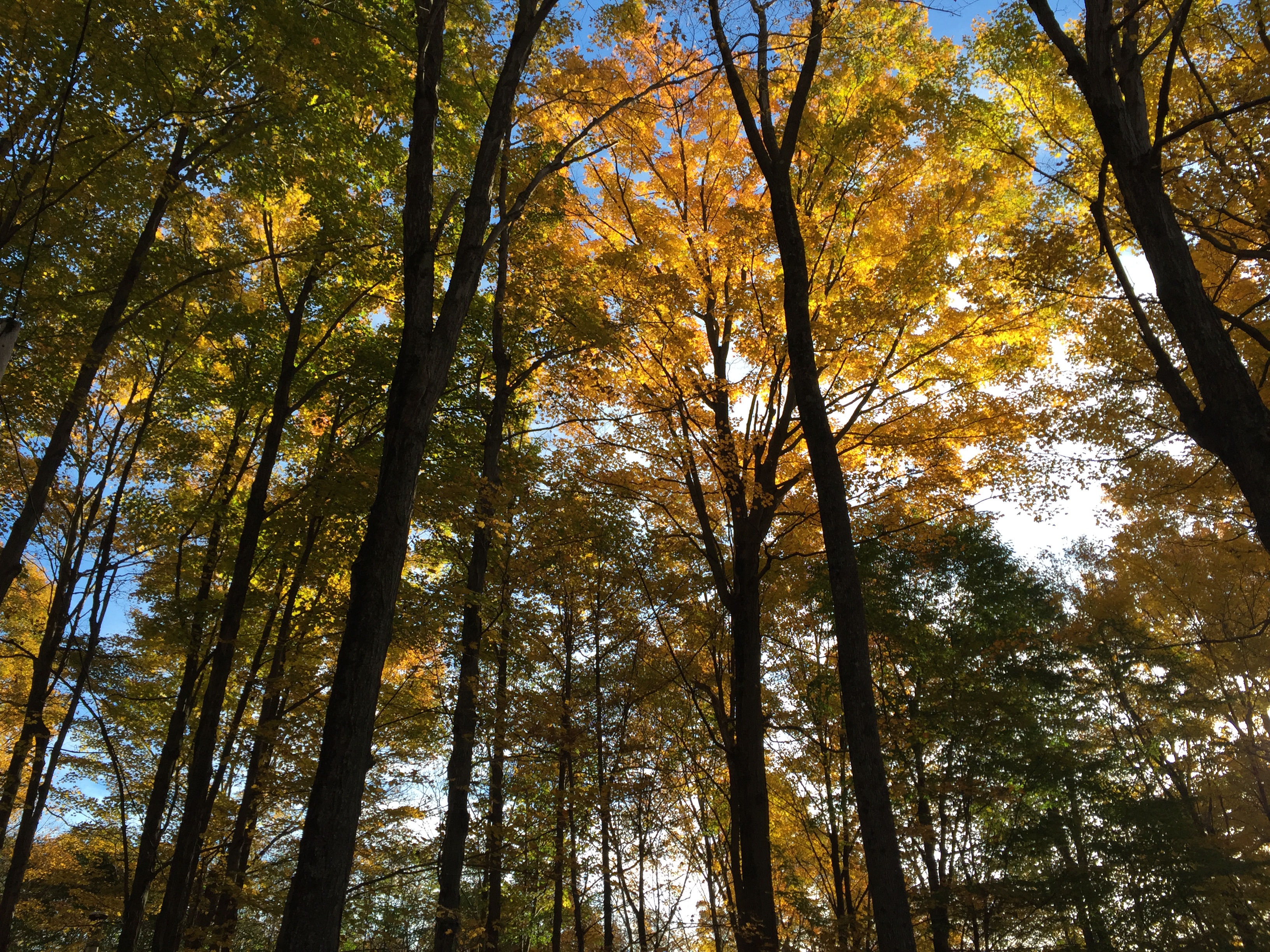
The Passage of Time
Canton 2015-82
Sensinger Bra 1H with runoff and hay bales in the foreground
A Remembrance of Back Then

Canton 2015-87
Canton 2015-80

Canton 2015-133
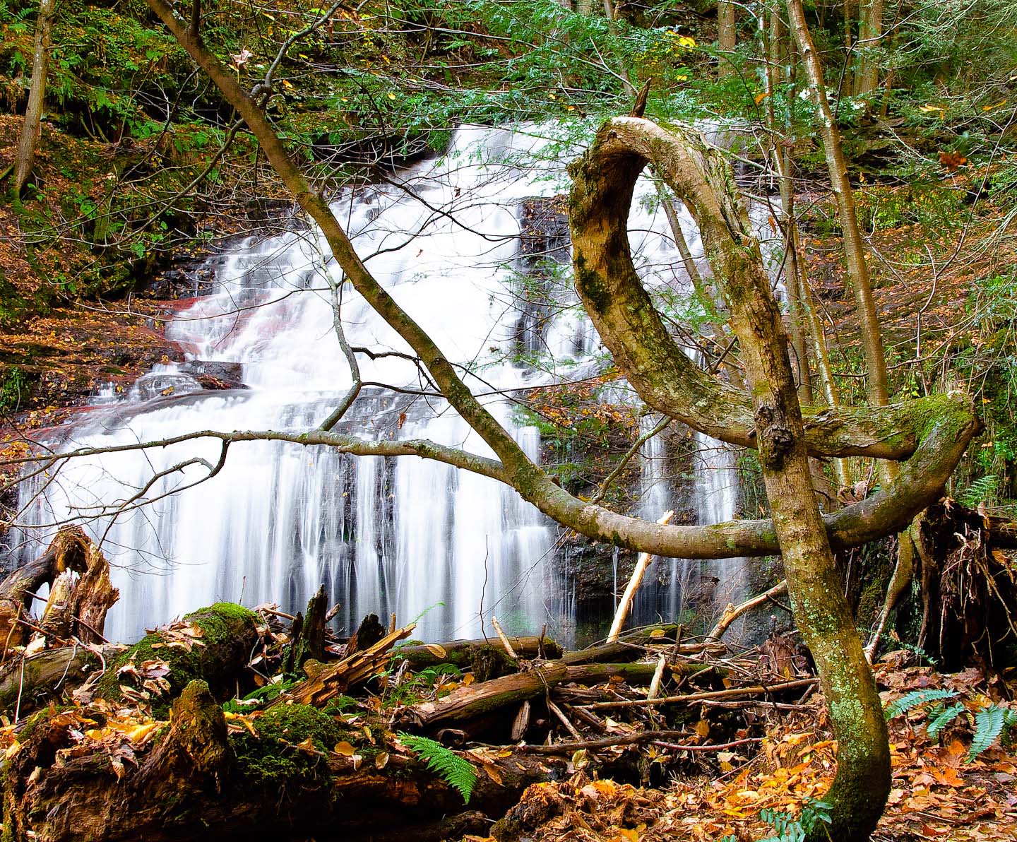
Sunfish Pond06 - The Lake
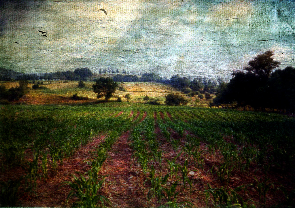
All My Memories, Neat Little Rows
Finding Home

IMG_0174.JPG
STAB 11-5
Canton 2015-128
Farming Valley (1)
Canton 2015-120
Canton 2015-121
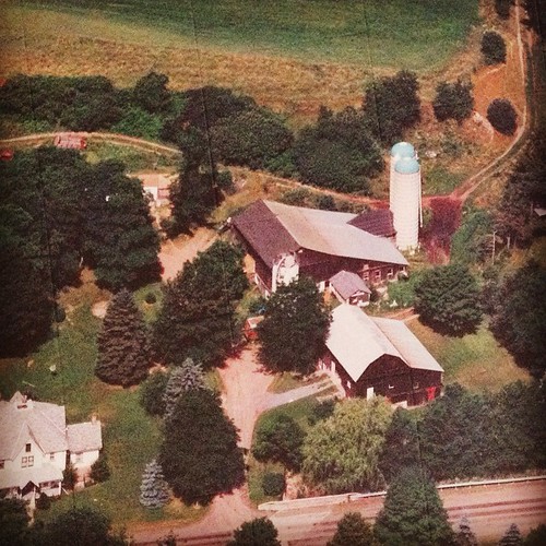
My Childhood Home
Canton 2015-113

Canton 2015-114
The Pretzel Tree
Topographic Map of Leroy Township, PA, USA
Find elevation by address:

Places in Leroy Township, PA, USA:
Places near Leroy Township, PA, USA:
Canton, PA, USA
Sr, Shunk, PA, USA
PA-, Shunk, PA, USA
Shunk
3002 Pa-154
Fox Township
27 Sr, Canton, PA, USA
Canton Township
85 N Minnequa Ave
First Citizens Community Bank
Troy St, Canton, PA, USA
Canton
Mcnett Township
Main St, Canton, PA, USA
PA-14, Canton, PA, USA
5972 Pa-14
100 Dustin Ln
Gleason Rd, Canton, PA, USA
PA-14, Roaring Branch, PA, USA
Union Township
Recent Searches:
- Elevation of Tenjo, Cundinamarca, Colombia
- Elevation of Côte-des-Neiges, Montreal, QC H4A 3J6, Canada
- Elevation of Bobcat Dr, Helena, MT, USA
- Elevation of Zu den Ihlowbergen, Althüttendorf, Germany
- Elevation of Badaber, Peshawar, Khyber Pakhtunkhwa, Pakistan
- Elevation of SE Heron Loop, Lincoln City, OR, USA
- Elevation of Slanický ostrov, 01 Námestovo, Slovakia
- Elevation of Spaceport America, Co Rd A, Truth or Consequences, NM, USA
- Elevation of Warwick, RI, USA
- Elevation of Fern Rd, Whitmore, CA, USA