Elevation of 27 Sr, Canton, PA, USA
Location: United States > Pennsylvania > Lycoming County > Mcnett Township >
Longitude: -76.804715
Latitude: 41.5397639
Elevation: 627m / 2057feet
Barometric Pressure: 94KPa
Elevation Map:
Satellite Map:
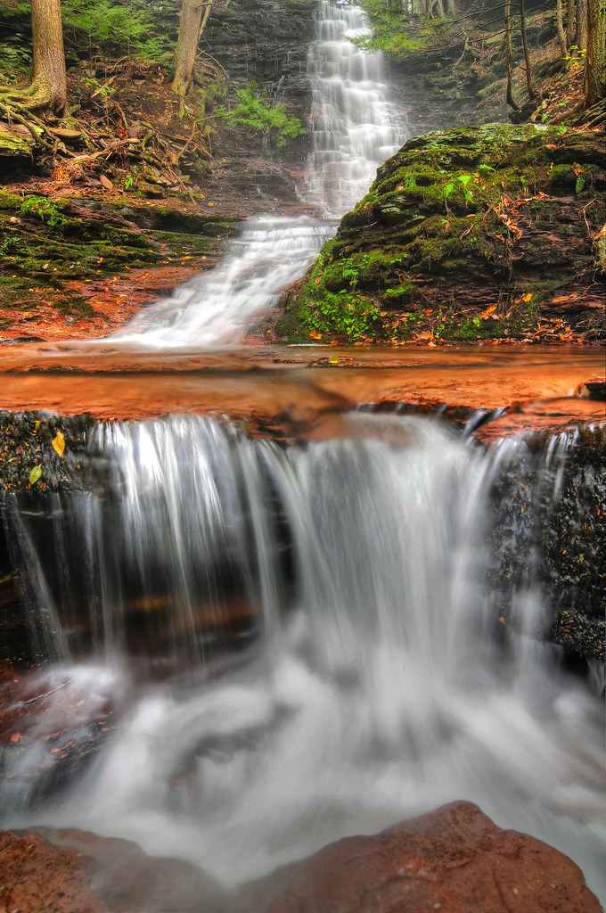
Related Photos:
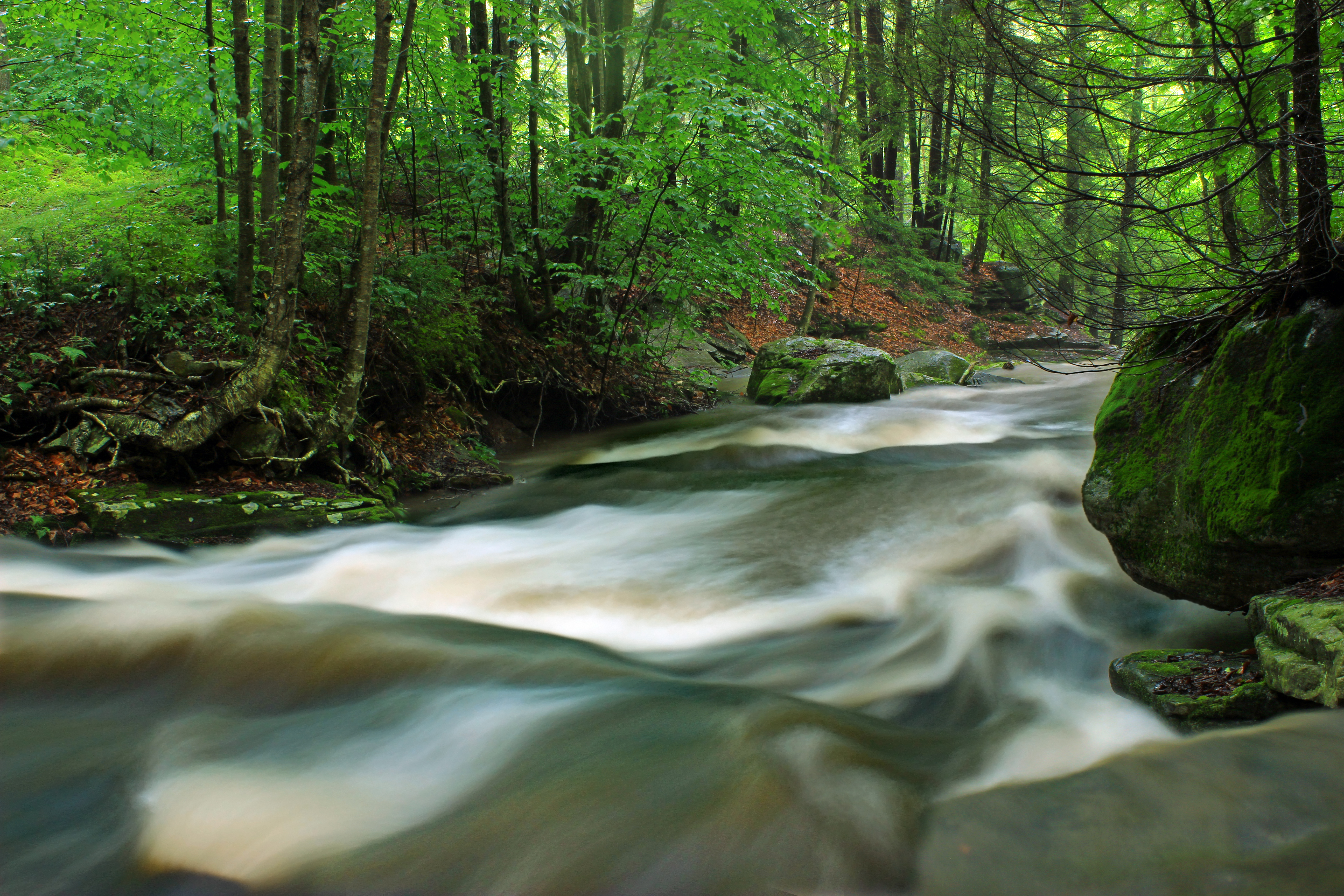
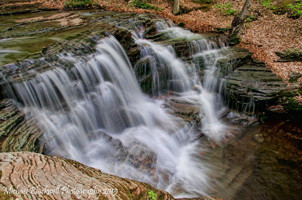
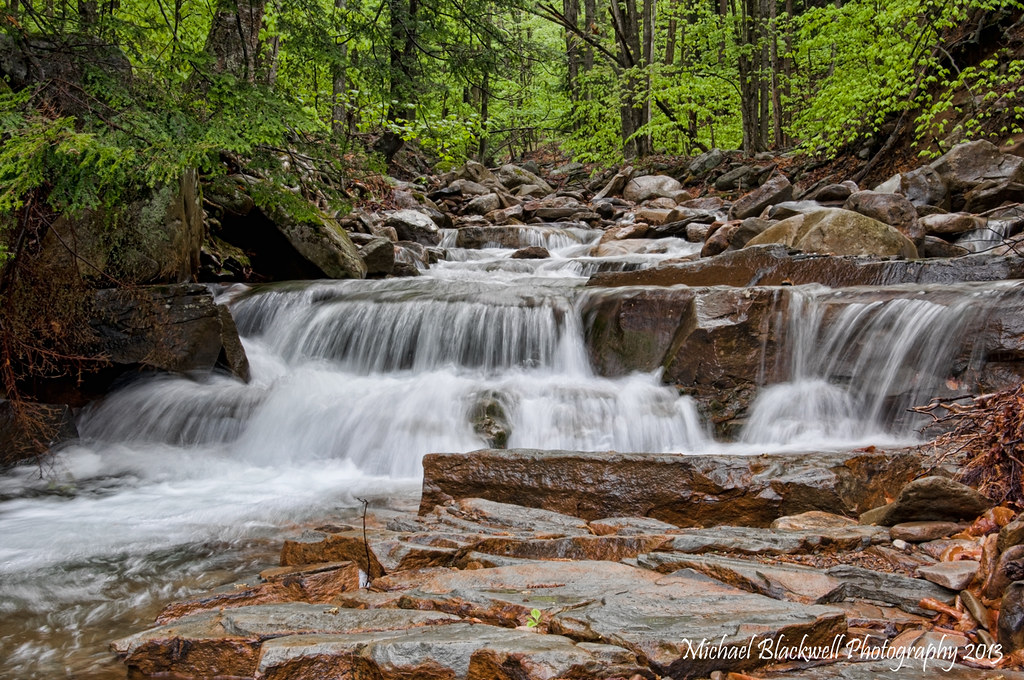
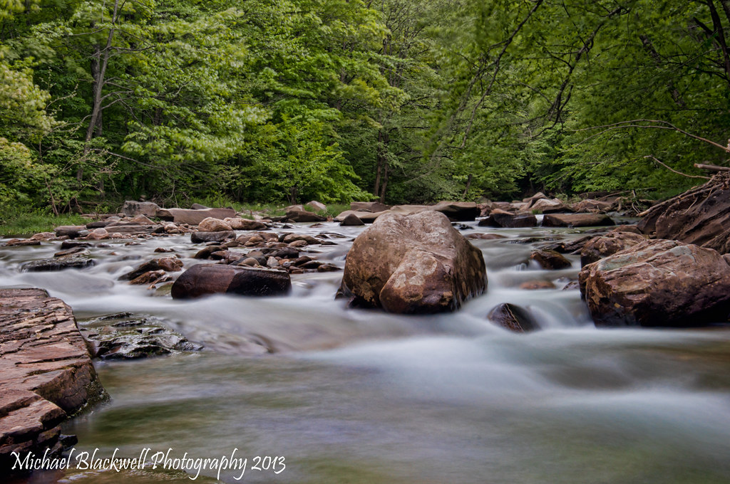
Upper Rock Run Gorge (1)
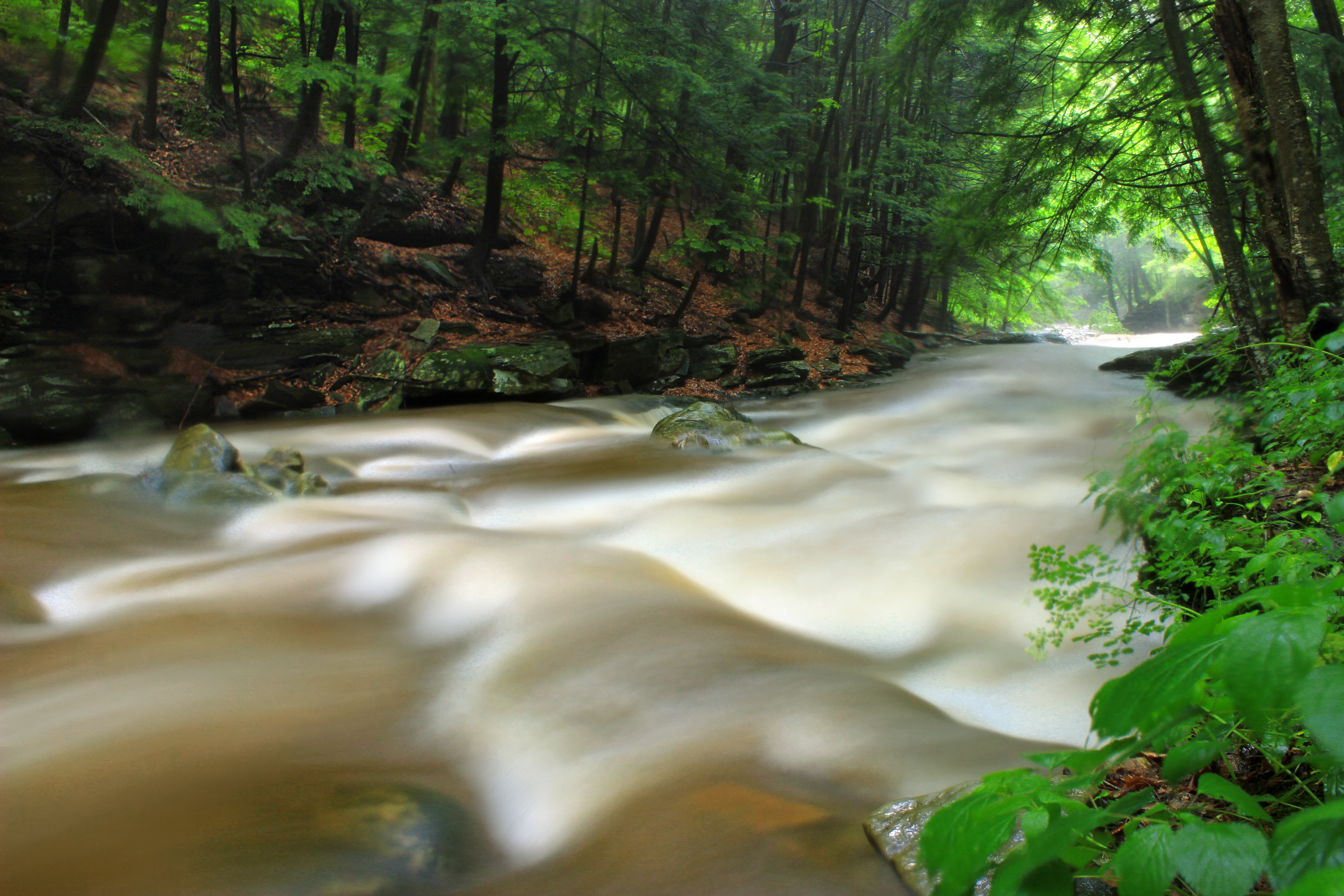
Upper Rock Run Gorge (3)

Upper Rock Run Gorge (5)

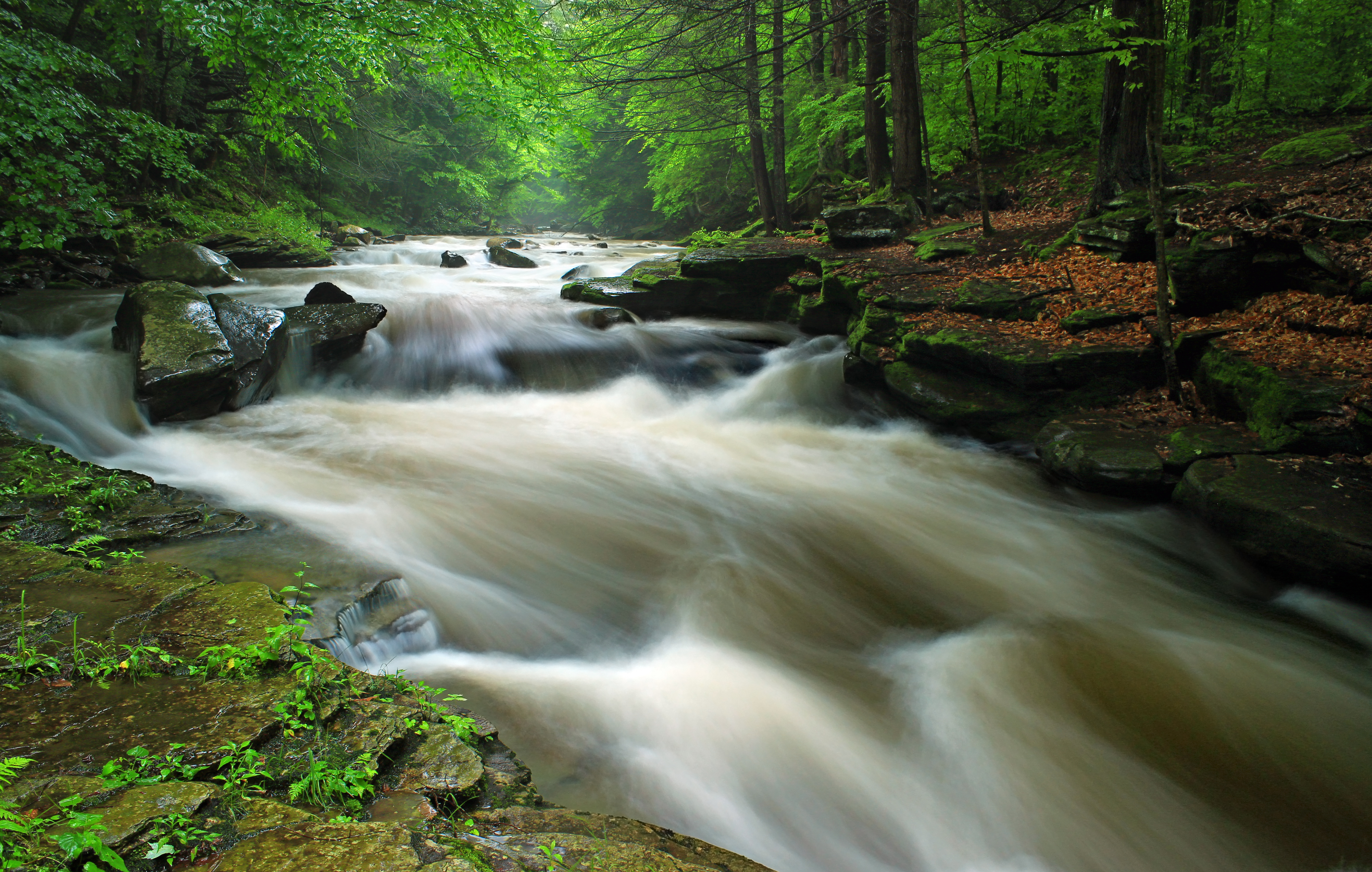
Upper Rock Run Gorge (2)
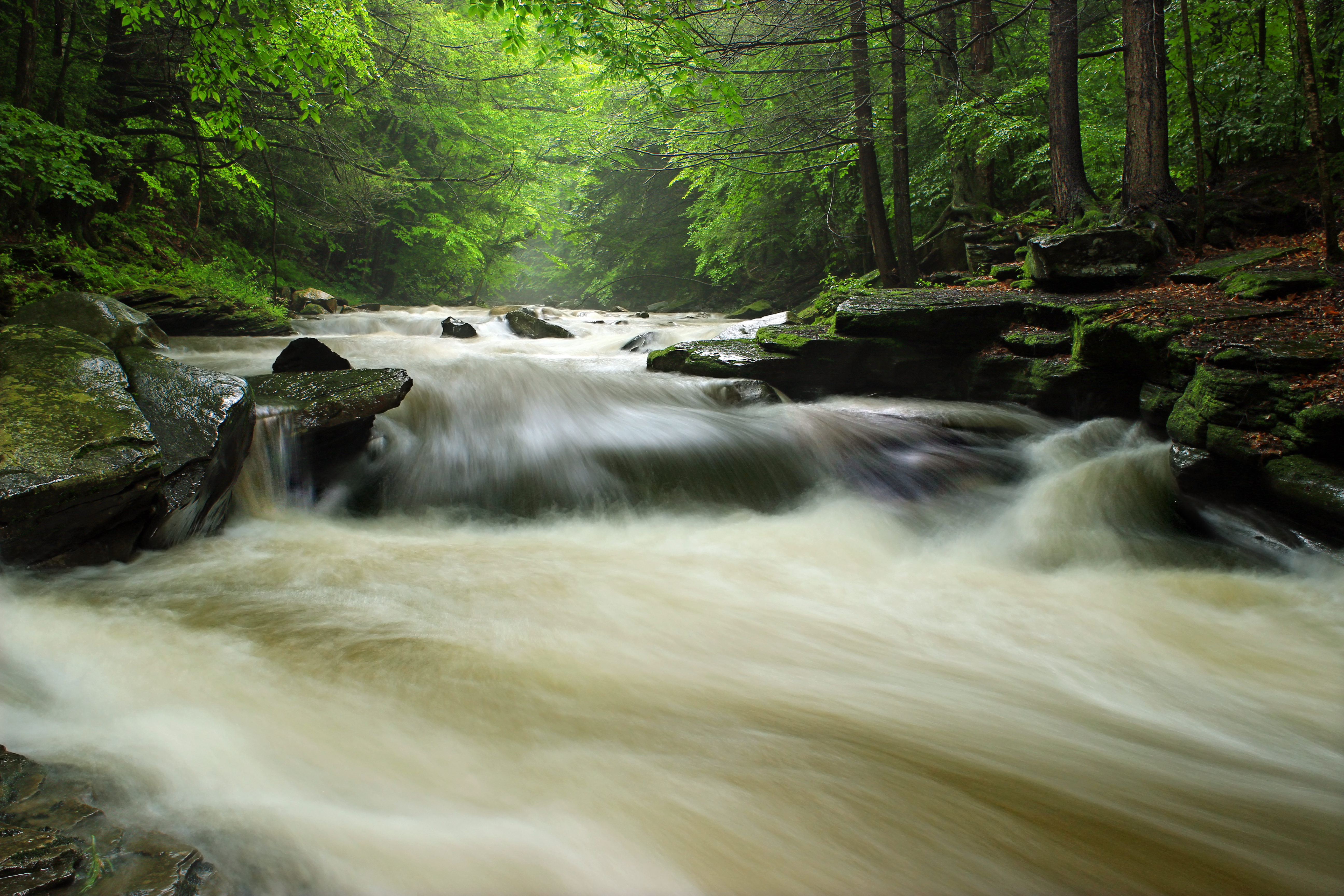
Upper Rock Run Gorge (4)
Upper Rock Run Gorge (6)

Acid Mine Contamination (1)
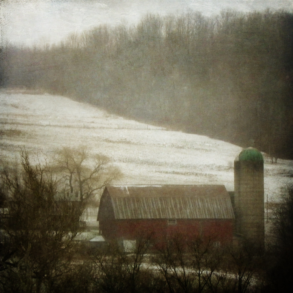
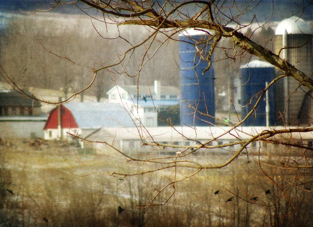
A Farm in Winter
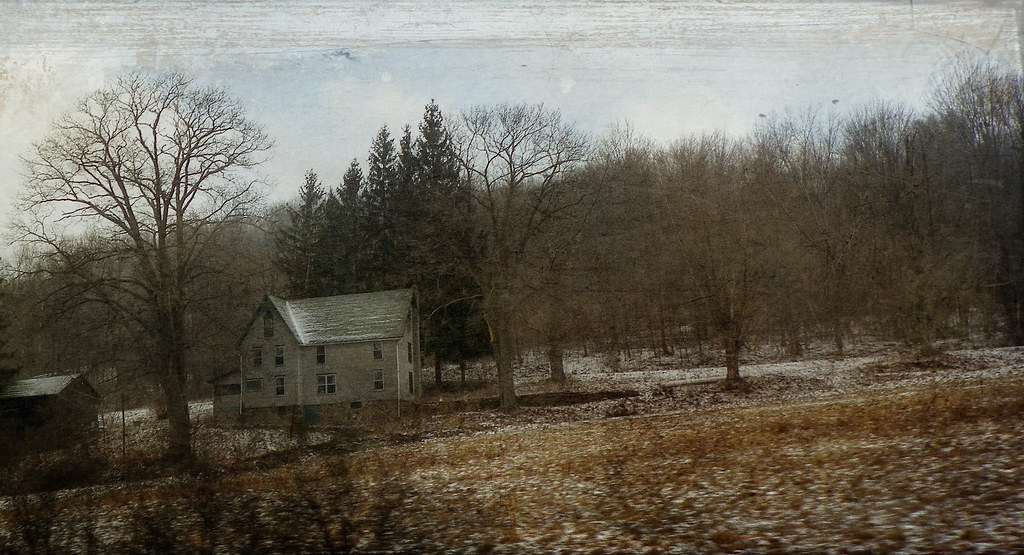
The Passage of Time
051113-2-WEB-copyright

Camera Roll-136
Camera Roll-130
051813-8-WEB-copyright
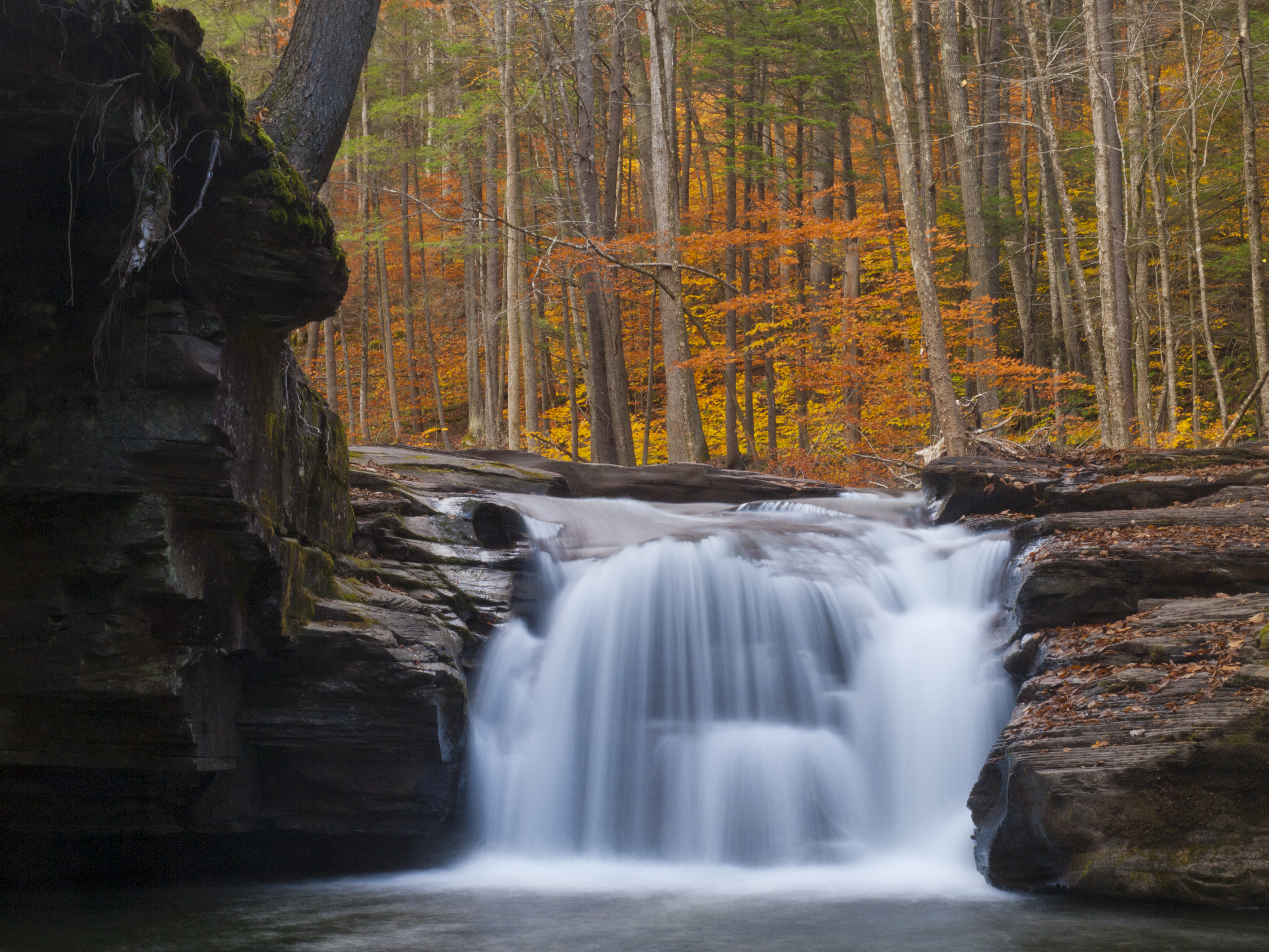
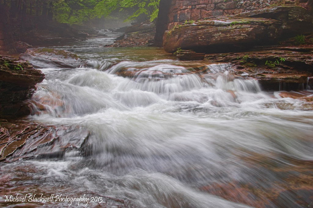
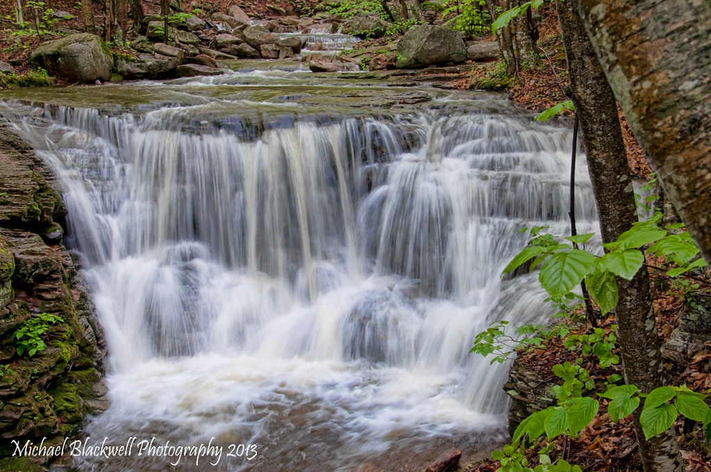
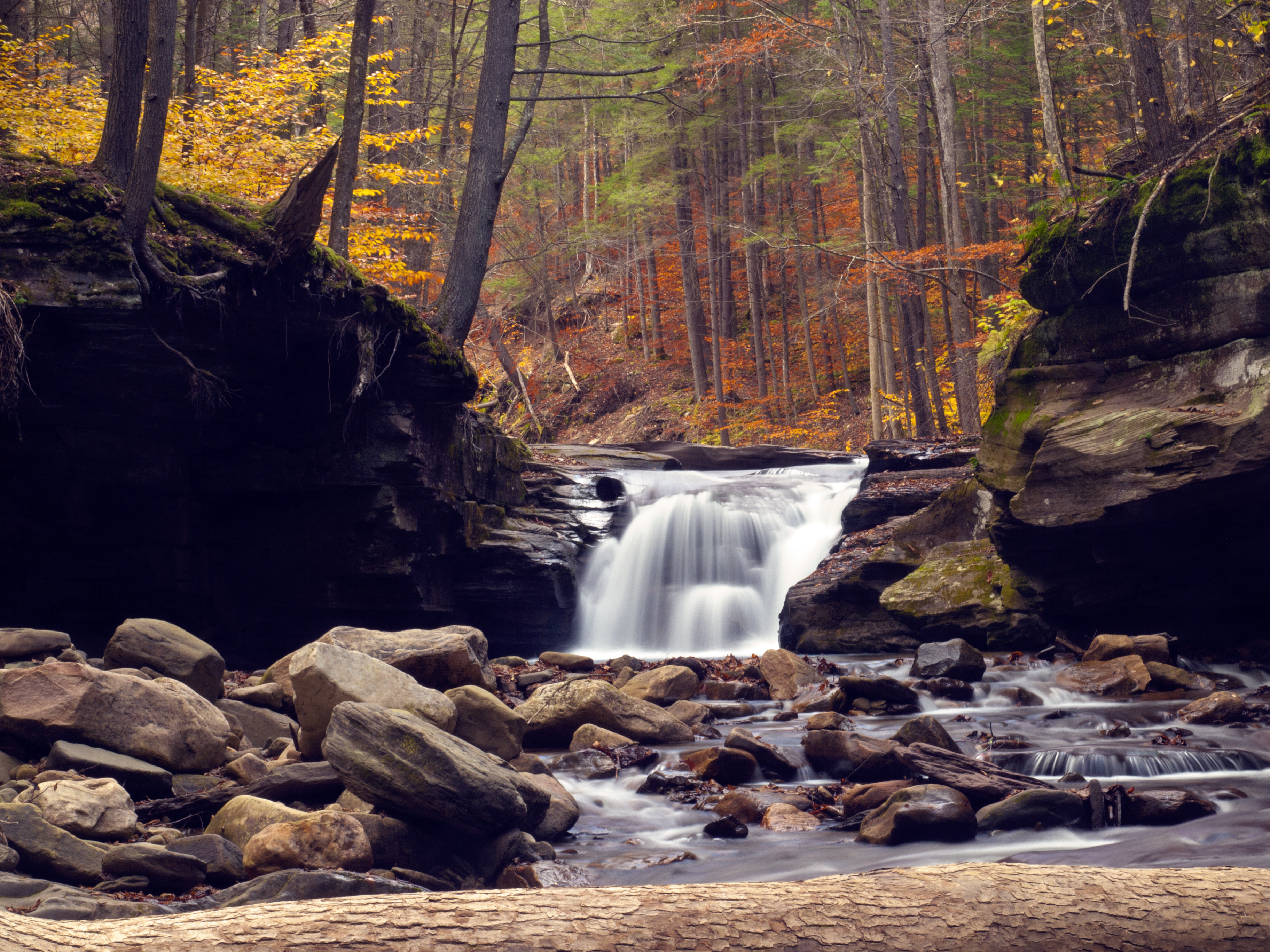
Mill Creek Falls
051113-12-WEB-copyright
Miners run Fall 2012
051113-6-WEB-copyright
051113-8-WEB-copyright

high Knob with sumak
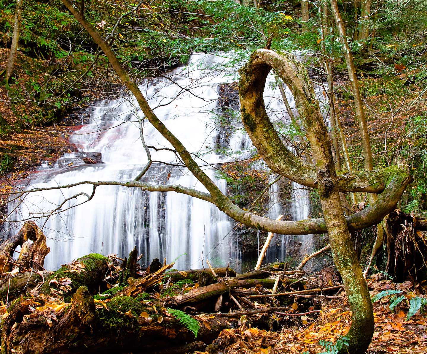
The Pretzel Tree
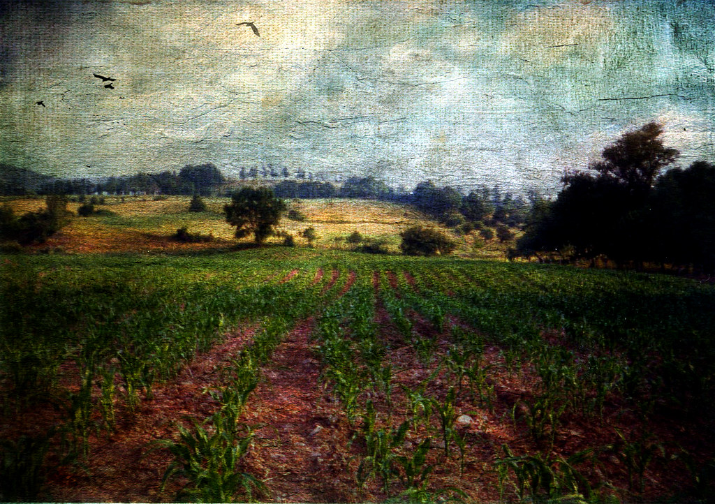
All My Memories, Neat Little Rows
051813-7-WEB-copyright
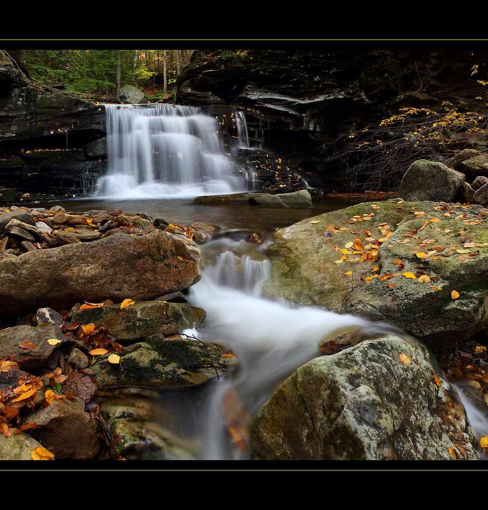
Mill Creek Falls
Finding Home
Dutchman Run (1)
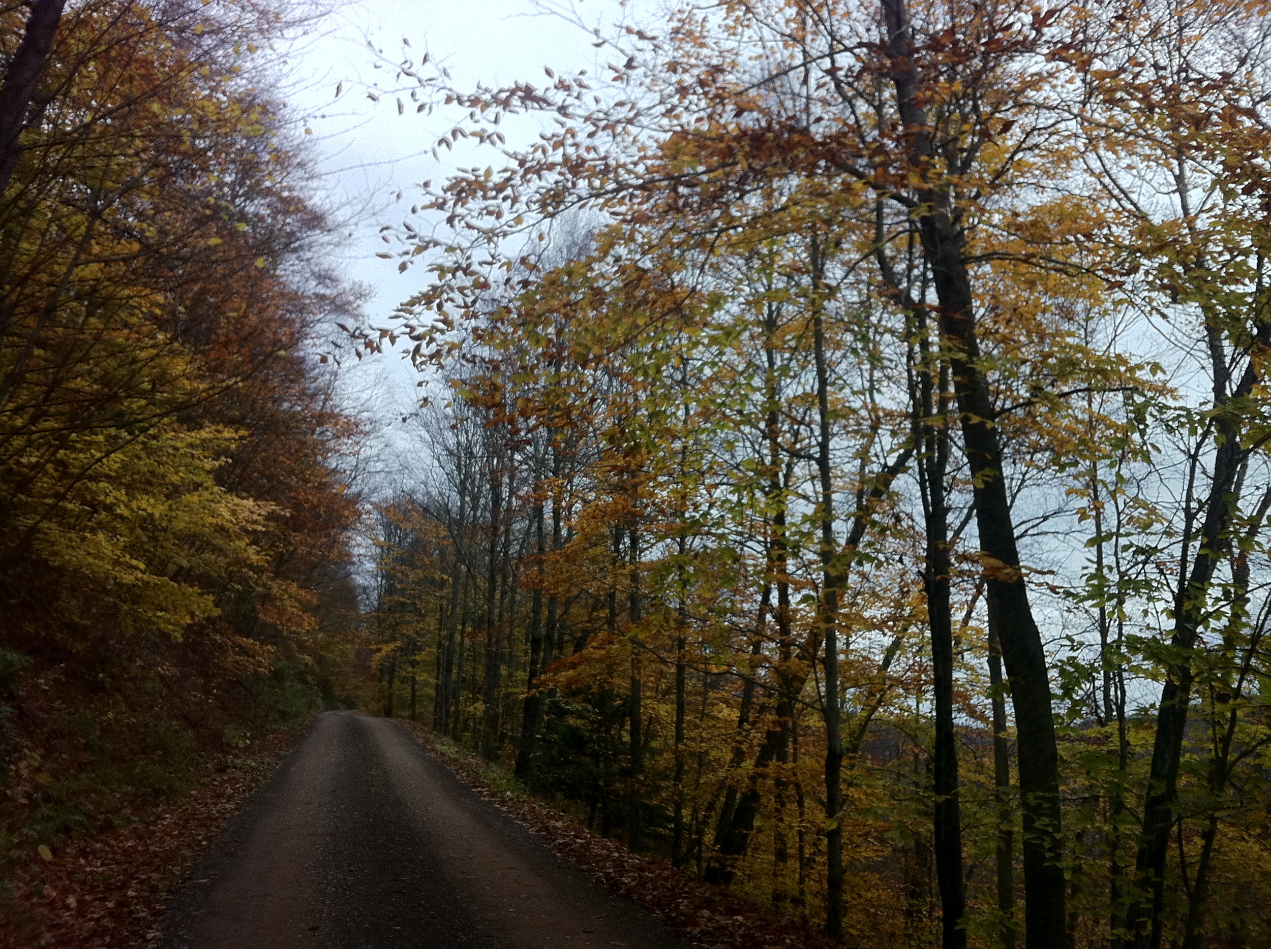
Endless Mountains

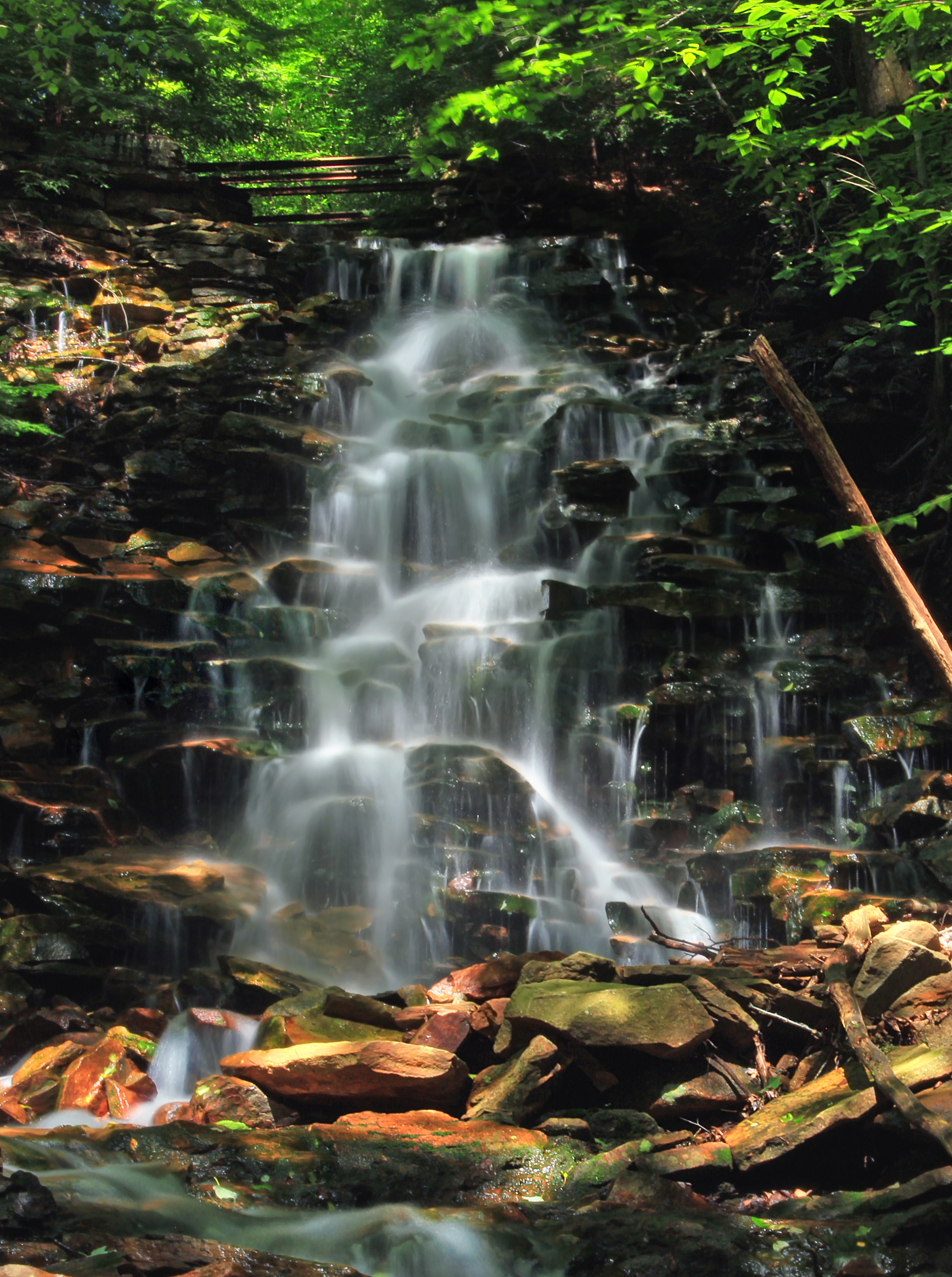
Dry Run Falls 02
Topographic Map of 27 Sr, Canton, PA, USA
Find elevation by address:

Places near 27 Sr, Canton, PA, USA:
Mcnett Township
PA-, Shunk, PA, USA
Sr, Shunk, PA, USA
Fox Township
Shunk
3002 Pa-154
Canton Township
5972 Pa-14
Main St, Canton, PA, USA
Canton, PA, USA
PA-14, Canton, PA, USA
First Citizens Community Bank
85 N Minnequa Ave
PA-14, Roaring Branch, PA, USA
Troy St, Canton, PA, USA
100 Dustin Ln
Canton
Leroy Township
Roaring Branch
Gleason Rd, Canton, PA, USA
Recent Searches:
- Elevation of Corso Fratelli Cairoli, 35, Macerata MC, Italy
- Elevation of Tallevast Rd, Sarasota, FL, USA
- Elevation of 4th St E, Sonoma, CA, USA
- Elevation of Black Hollow Rd, Pennsdale, PA, USA
- Elevation of Oakland Ave, Williamsport, PA, USA
- Elevation of Pedrógão Grande, Portugal
- Elevation of Klee Dr, Martinsburg, WV, USA
- Elevation of Via Roma, Pieranica CR, Italy
- Elevation of Tavkvetili Mountain, Georgia
- Elevation of Hartfords Bluff Cir, Mt Pleasant, SC, USA