Elevation of Winchell Cove Rd, Friant, CA, USA
Location: United States > California > Fresno County > Friant >
Longitude: -119.66217
Latitude: 36.9953773
Elevation: 170m / 558feet
Barometric Pressure: 99KPa
Elevation Map:
Satellite Map:
Related Photos:

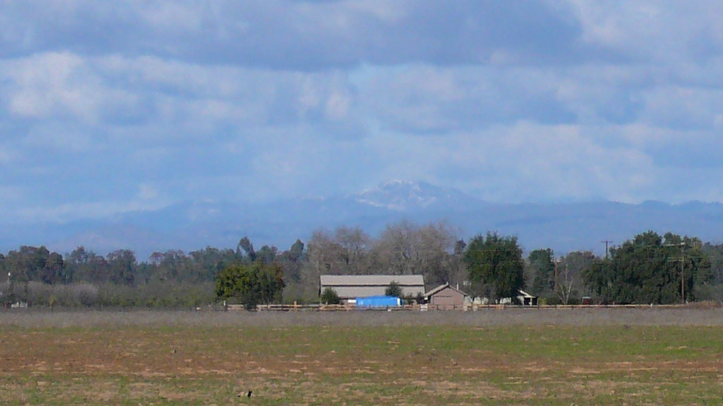
Fall Storm Over Clovis, Ca, October 3, 2010
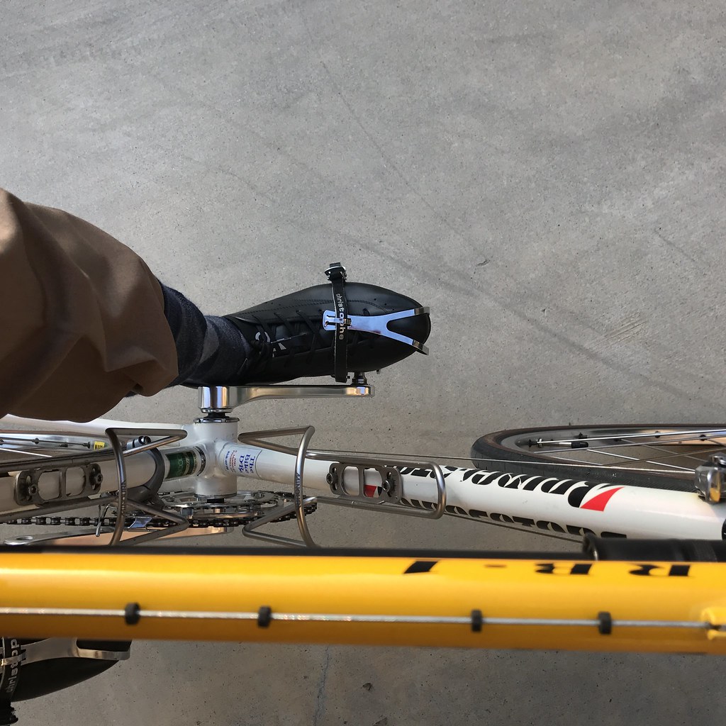
Classic steel
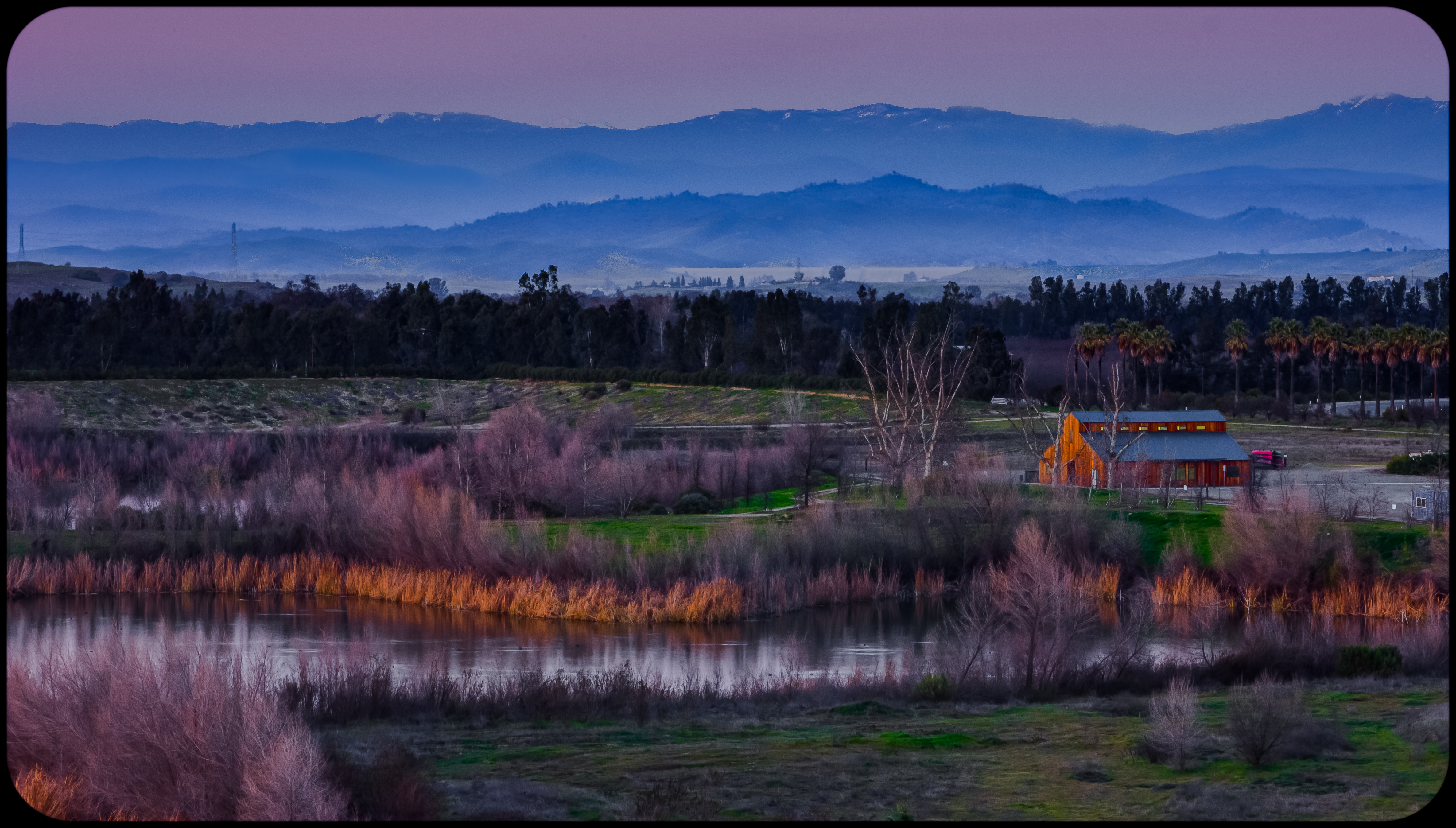
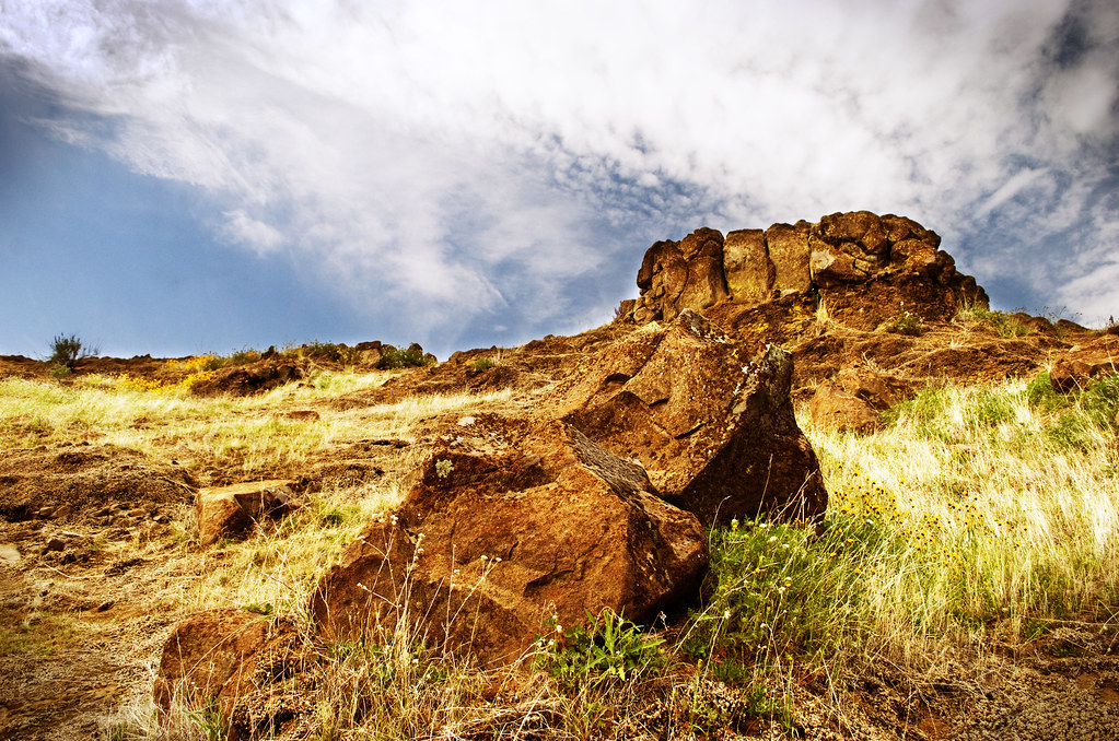
Friant View Bluffs
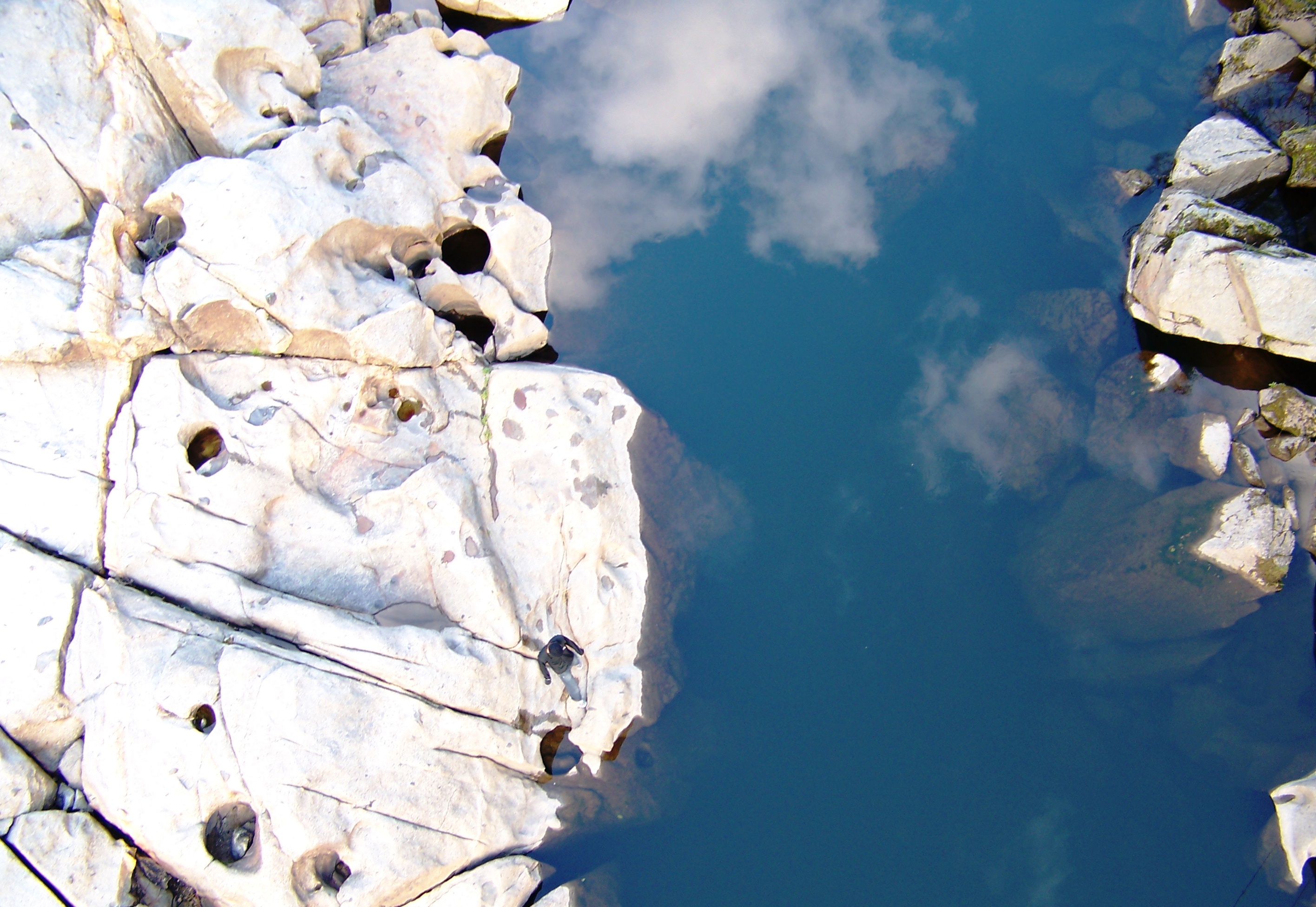
San Joaquin River Gorge - Find Ethan
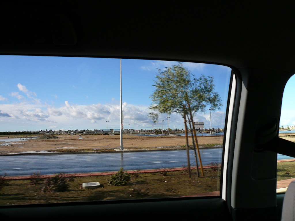
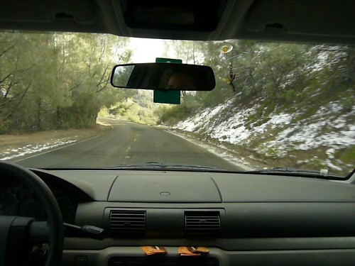
On the road to Auberry
On the road to Auberry

Gas Station
The View at the I. Ball Saloon
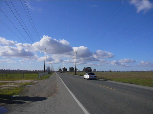
Road Side View
Road Side View
Roadside panorama between Fresno and Auberry (video)
Road Trip back to my Sisters (with video link)
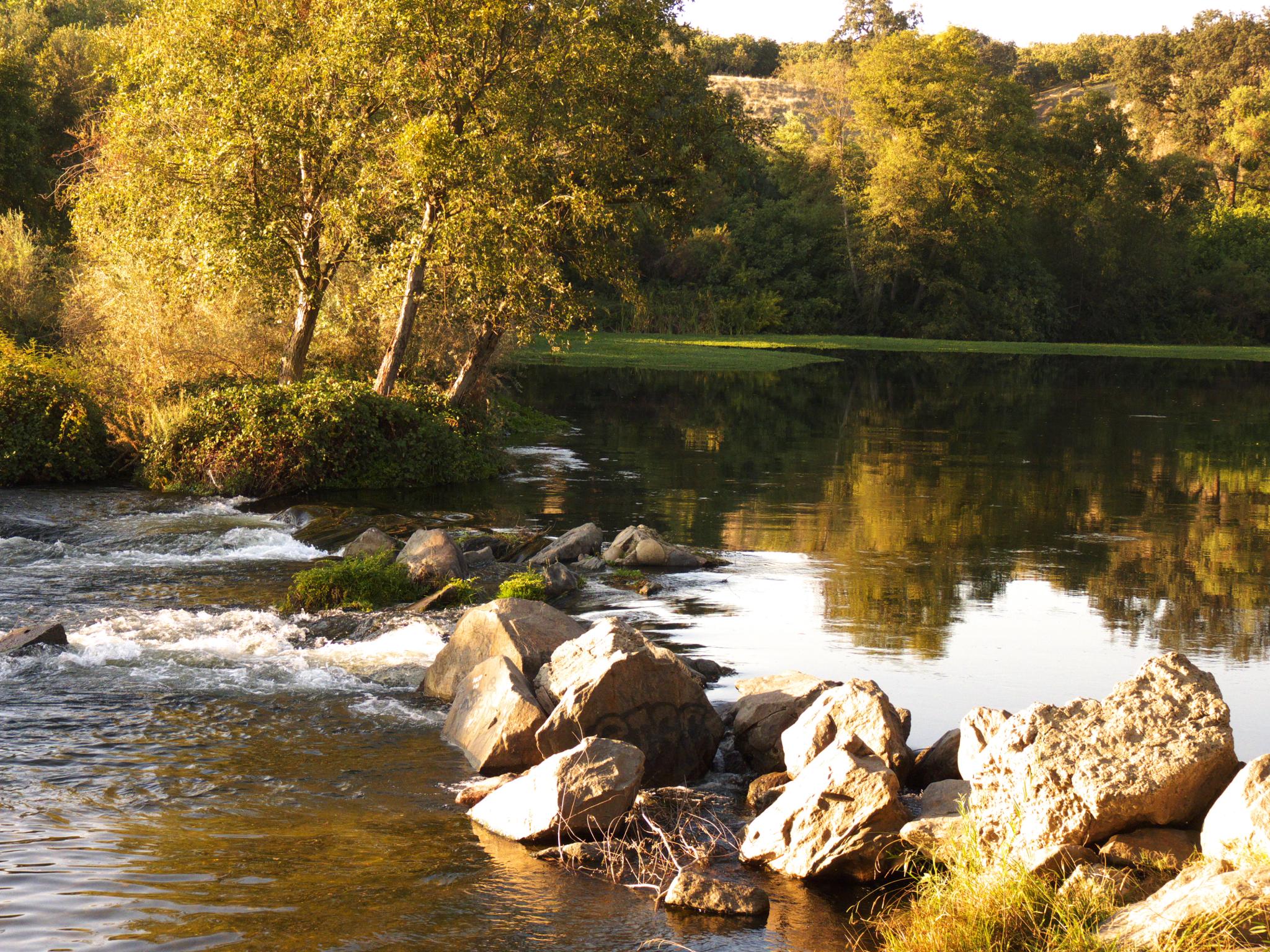
007 San Joaquin River Bridge - First View
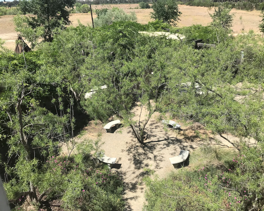
005 A View Of The Garden

Another view from today's #bikeride in #Fresno. #orchards #mountains #SierraNevada
Road Side View
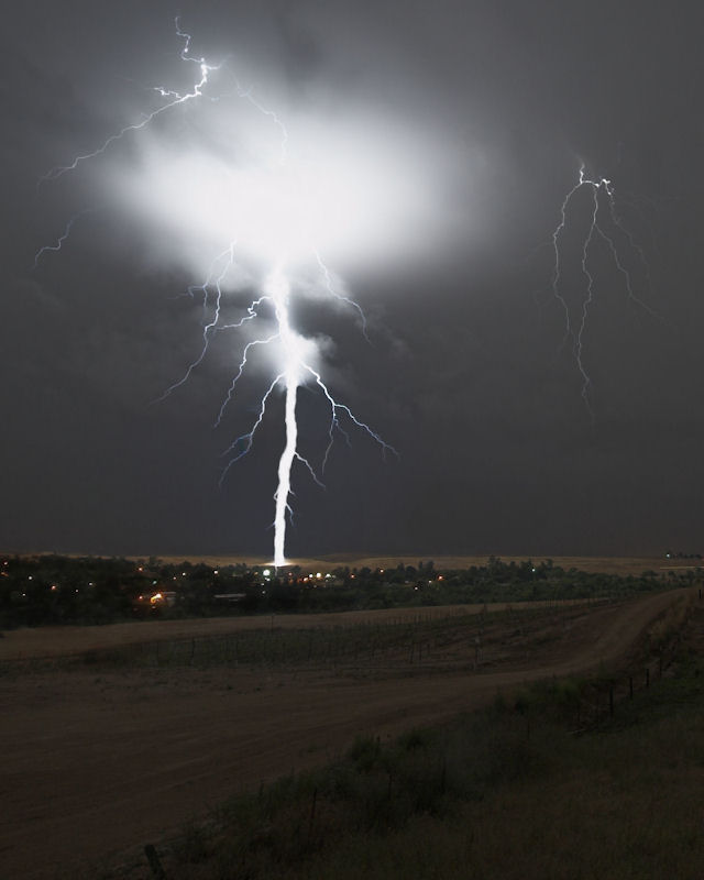
Ground Strike in Friant, CA June 5, 2011 [cropped]
Ceci n'est pas un arbre (This is not a tree).

Blue Oak with Steer
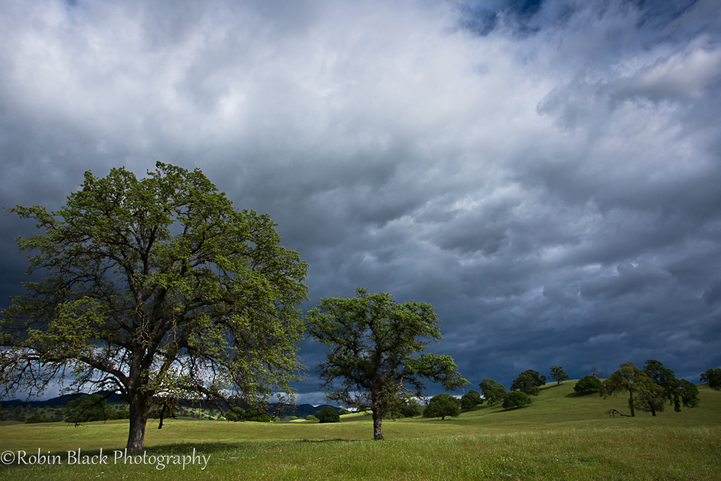
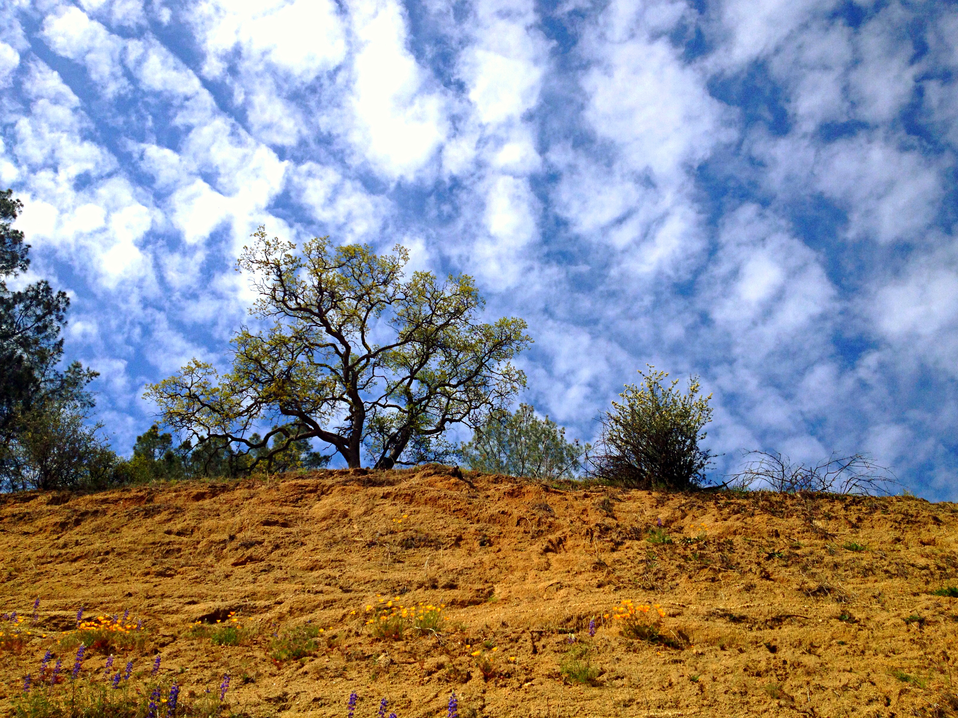
Stormy Spring Skies, Sierra Foothills

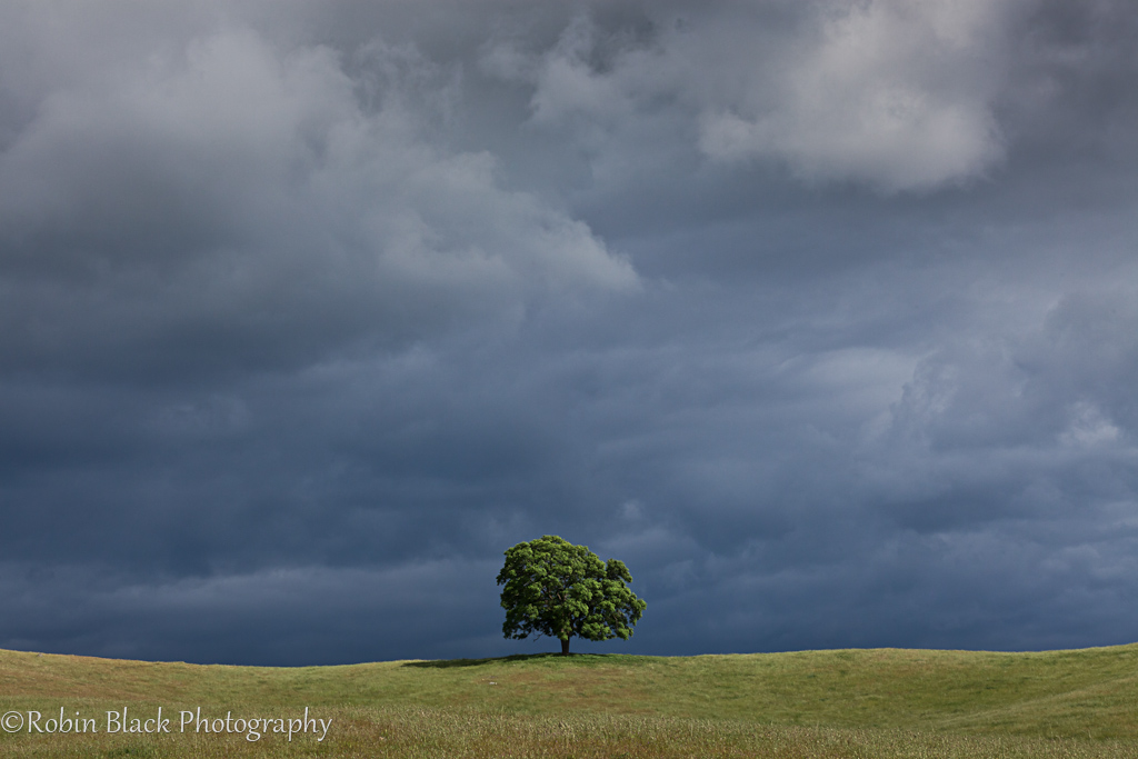
Blue oak, dark skies (Sierra Foothills)
First day of spring clouds

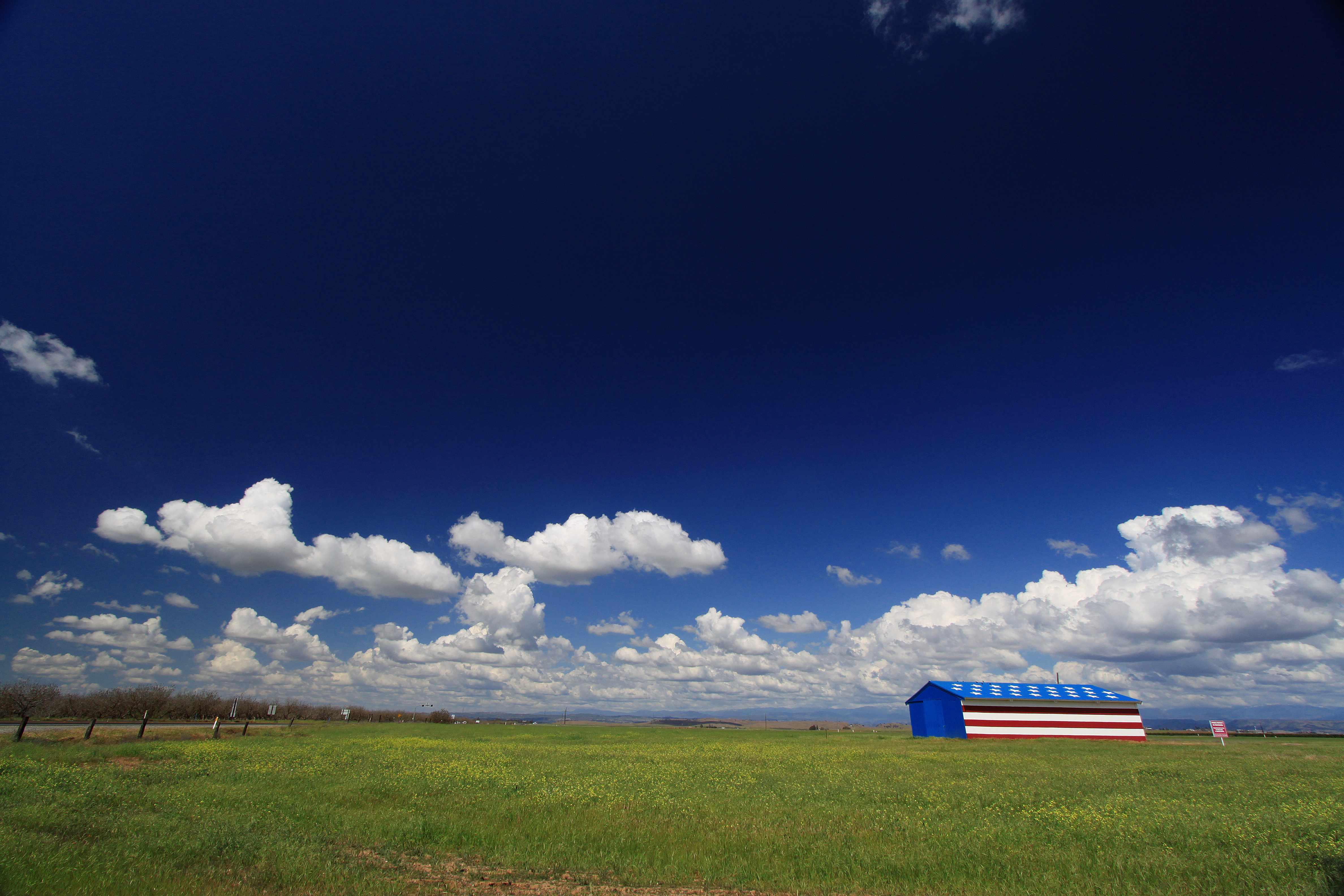
Patriotic Barn. Madera, Ca
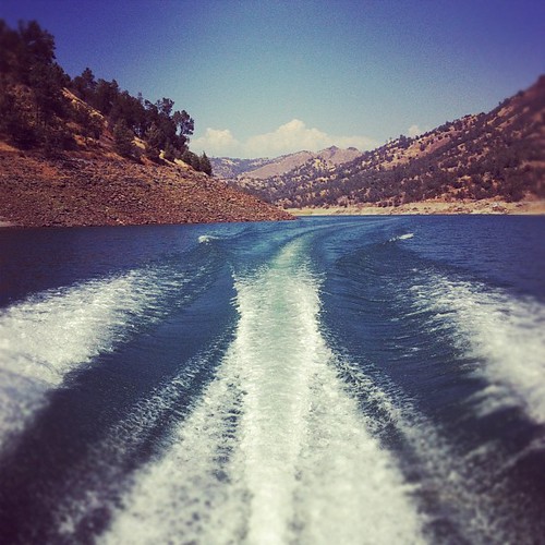
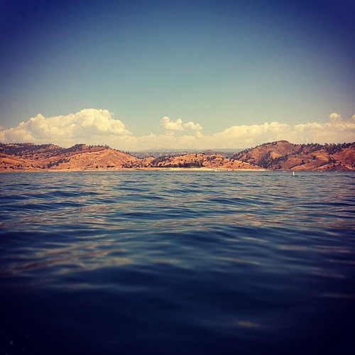
Millerton Lake
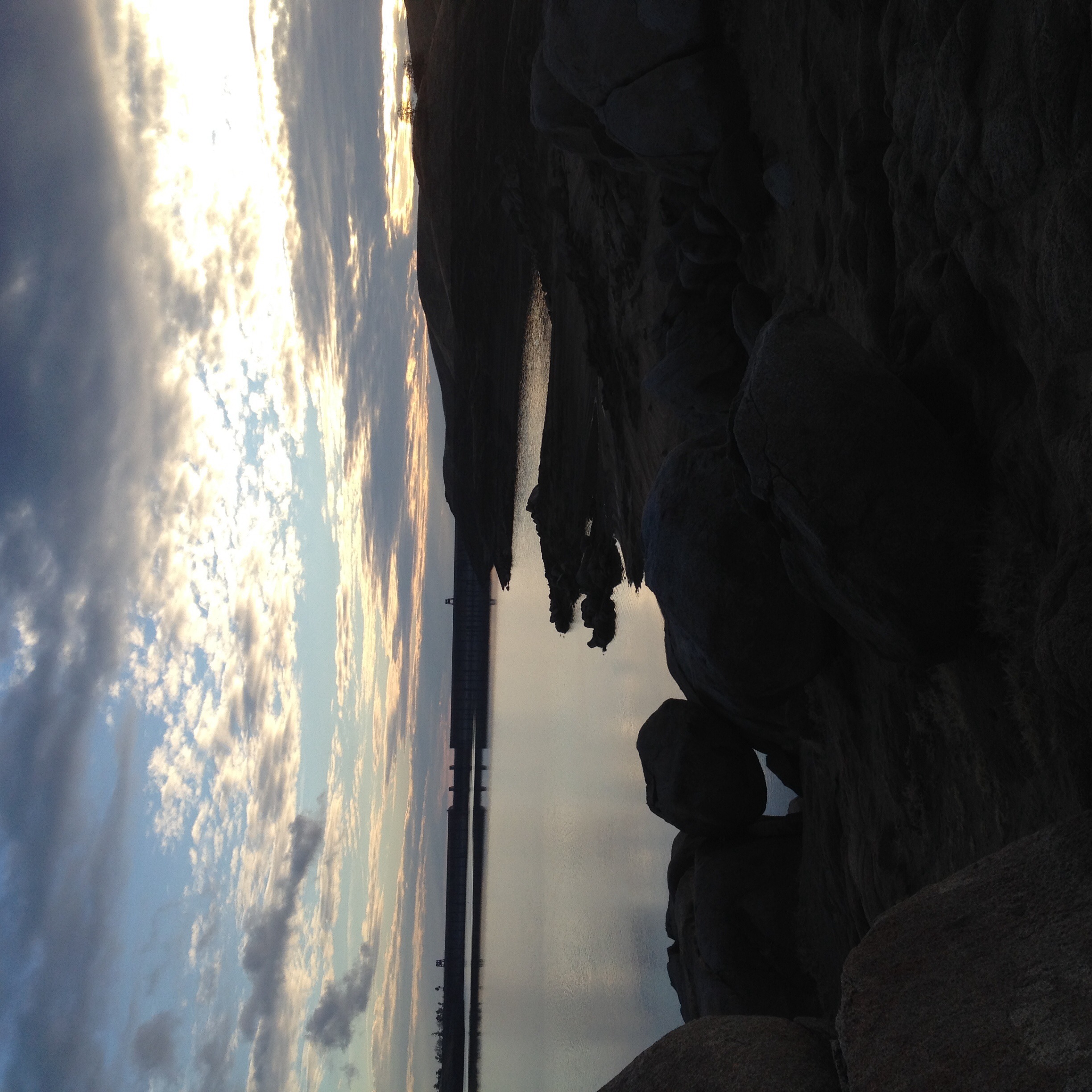
Millerton Lake before the sunset
Cloudy Oak
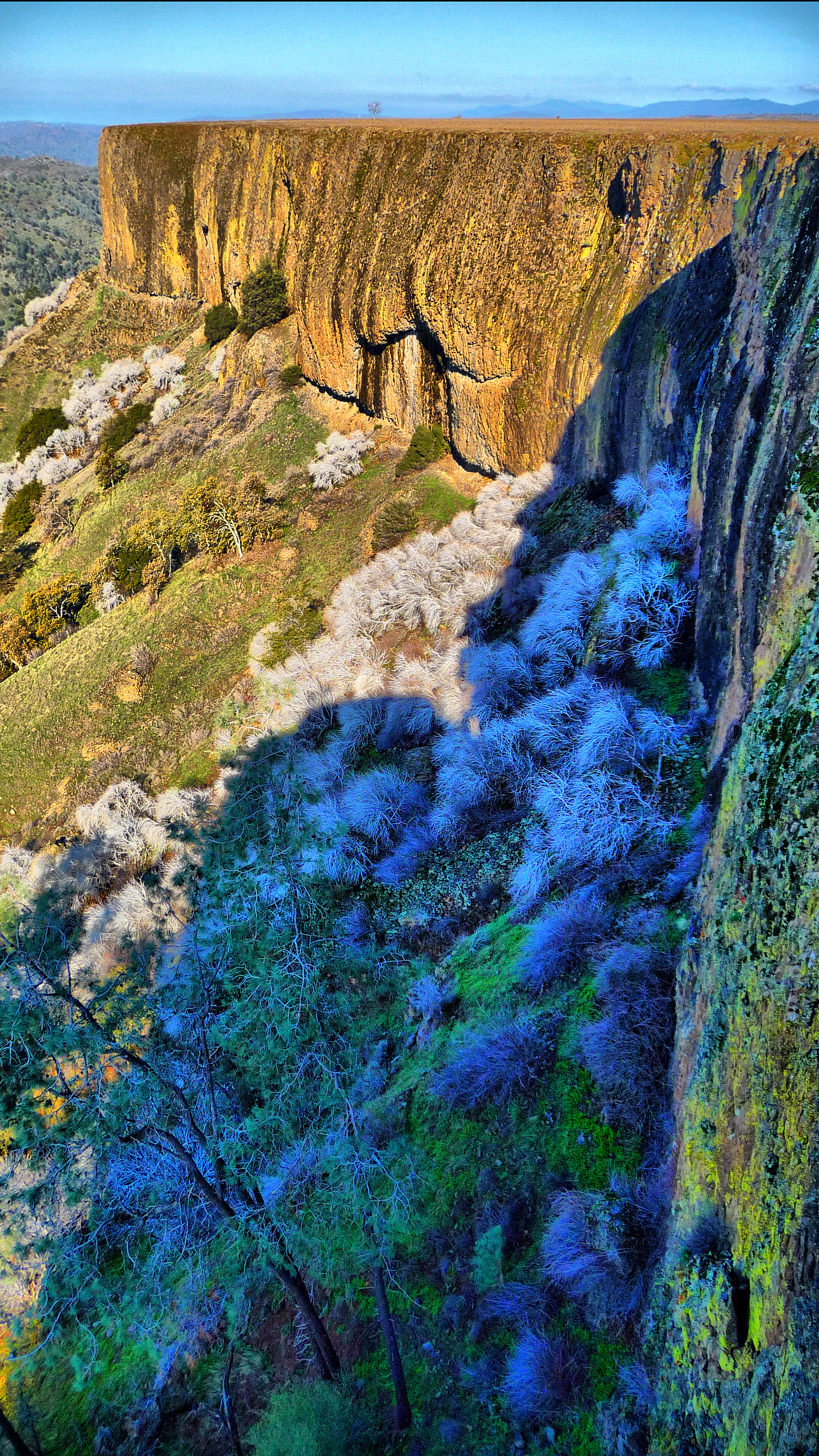
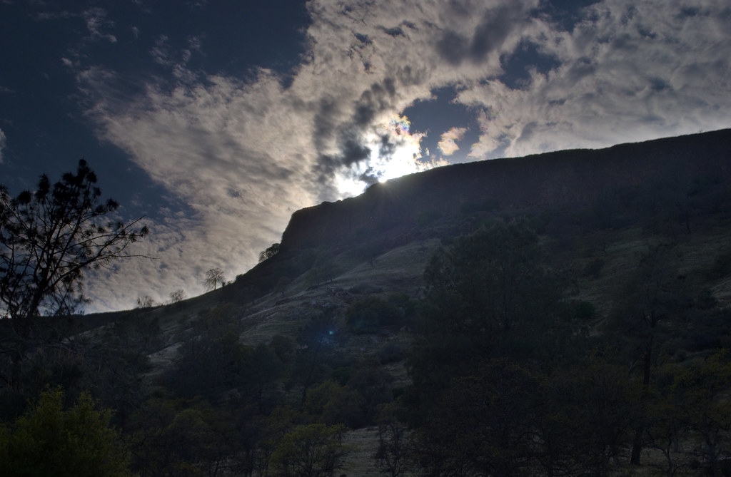
McKenzie Table Mountain
6-2
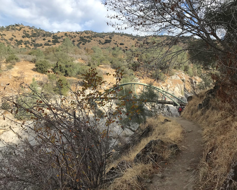
006 Autumn Along The Bridge Trail
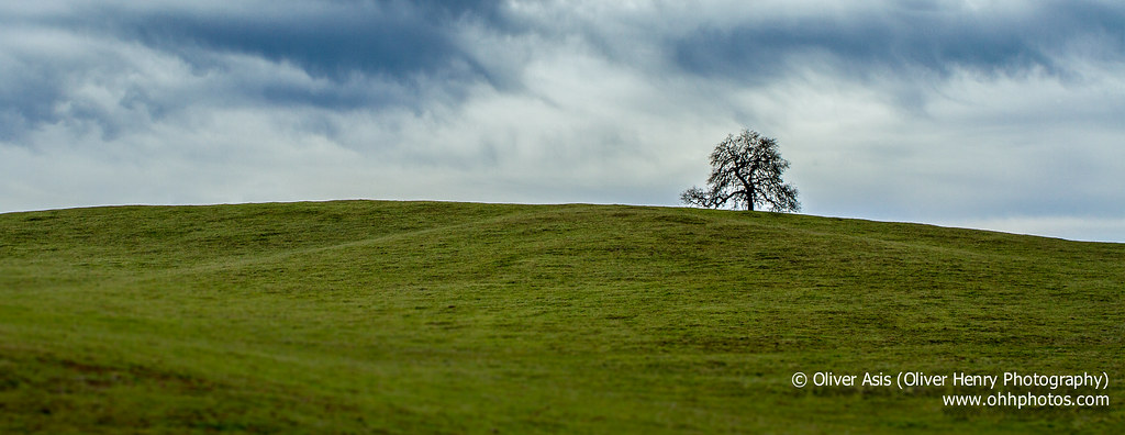
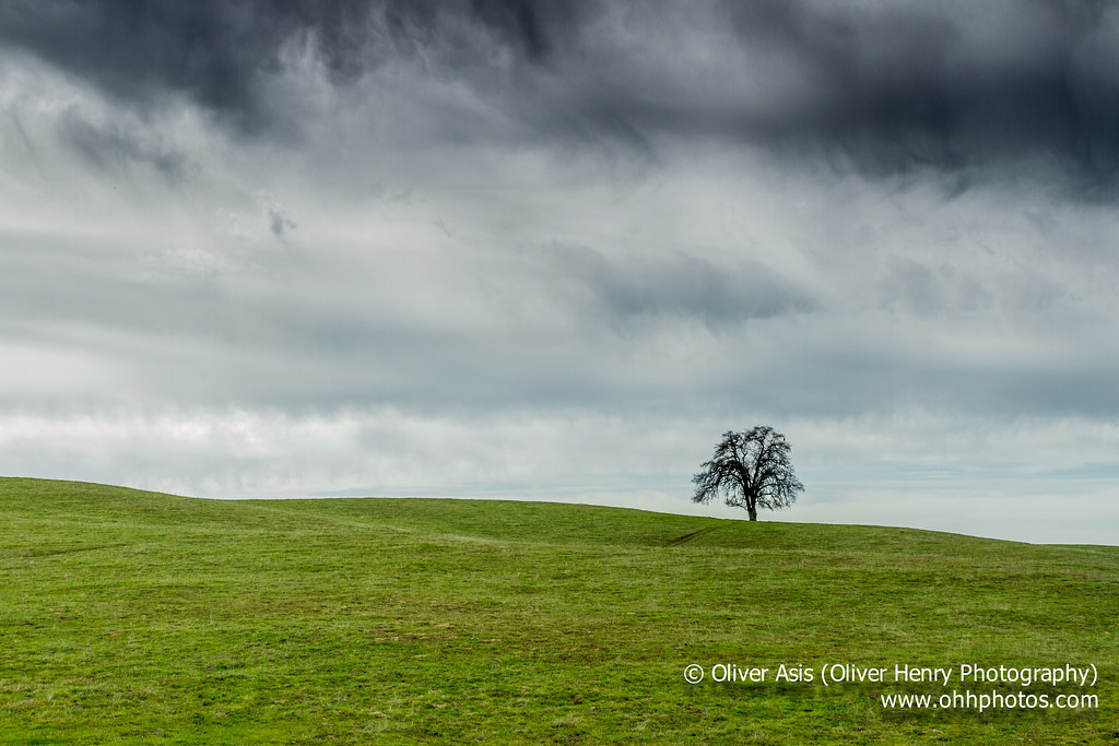
One Tree Hill
111 degrees outside. Millerton Lake
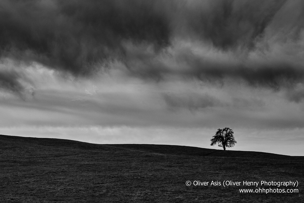
The Dark Oak
McKenzie Table Mountain
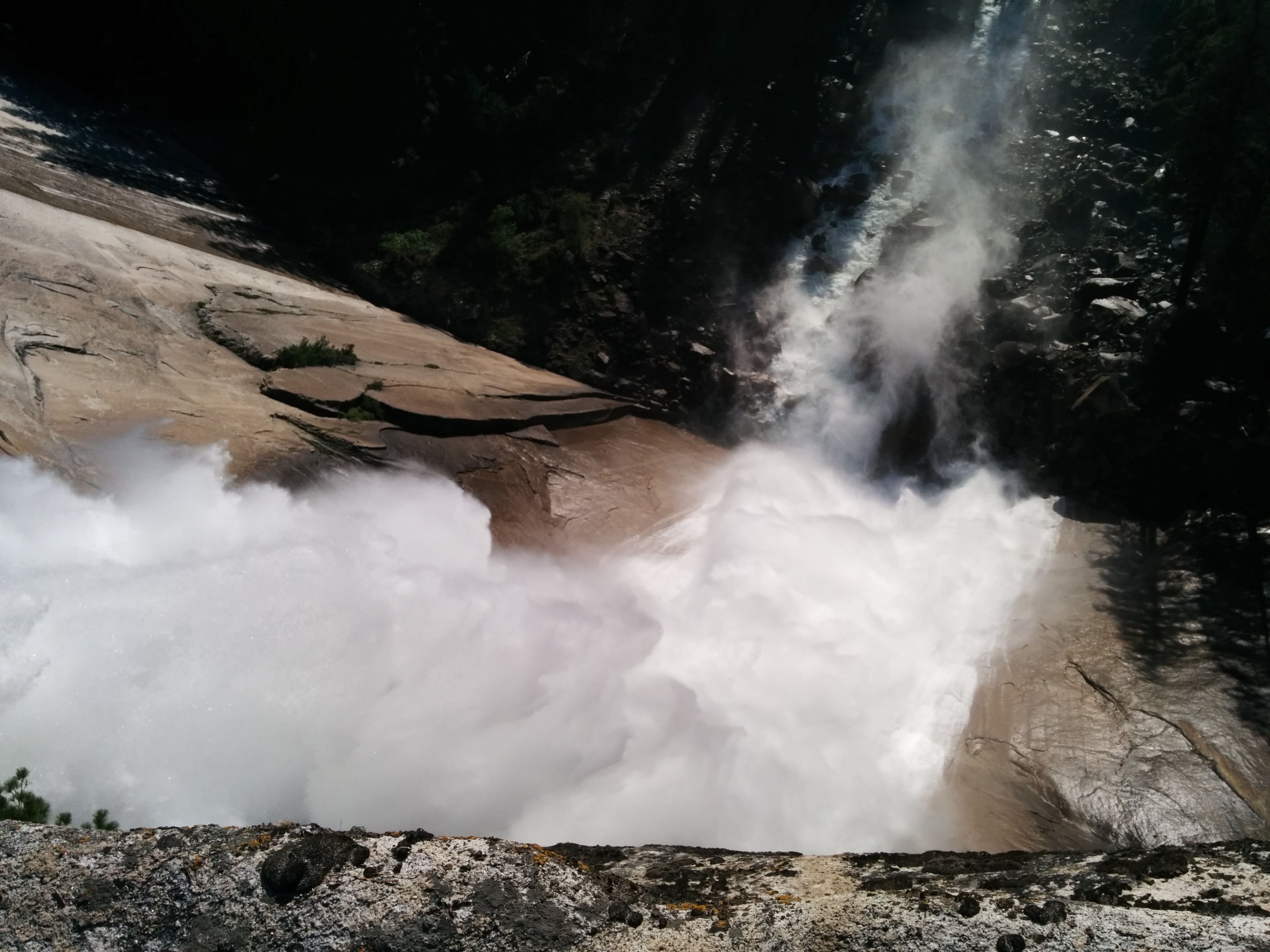
Yosemite trip
Lost Lake
'Merica
Topographic Map of Winchell Cove Rd, Friant, CA, USA
Find elevation by address:

Places near Winchell Cove Rd, Friant, CA, USA:
Millerton Rd, Friant, CA, USA
Table Mountain Casino
Rocky Point Campground
Friant
24893 Auberry Rd
Anderson Smith Road
50920 Hildreth Rd
Hildreth Rd, Friant, CA, USA
26447 Auberry Rd
E Copper Ave, Clovis, CA, USA
North Growth Area
10590 N Willow Ave
11356 N Via Napoli Dr
O'neals
Huntington Rd, Madera, CA, USA
1126 E Royal Dornoch Ave
1577 N Dartmouth Ave
50070 Butterfield Stage Rd
1568 N Oxford Ave
1095 N Jasmine Ave
Recent Searches:
- Elevation of Warwick, RI, USA
- Elevation of Fern Rd, Whitmore, CA, USA
- Elevation of 62 Abbey St, Marshfield, MA, USA
- Elevation of Fernwood, Bradenton, FL, USA
- Elevation of Felindre, Swansea SA5 7LU, UK
- Elevation of Leyte Industrial Development Estate, Isabel, Leyte, Philippines
- Elevation of W Granada St, Tampa, FL, USA
- Elevation of Pykes Down, Ivybridge PL21 0BY, UK
- Elevation of Jalan Senandin, Lutong, Miri, Sarawak, Malaysia
- Elevation of Bilohirs'k