Elevation of Rocky Point Campground, Friant, CA, United States
Location: United States > California > Fresno County > Friant >
Longitude: -119.68431
Latitude: 37.0188383
Elevation: 184m / 604feet
Barometric Pressure: 99KPa
Elevation Map:
Satellite Map:
Related Photos:
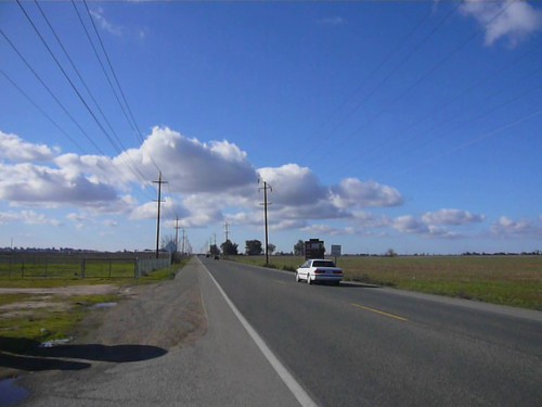
Roadside panorama between Fresno and Auberry (video)
On the road to Auberry
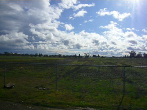
Friant View Bluffs
The View at the I. Ball Saloon

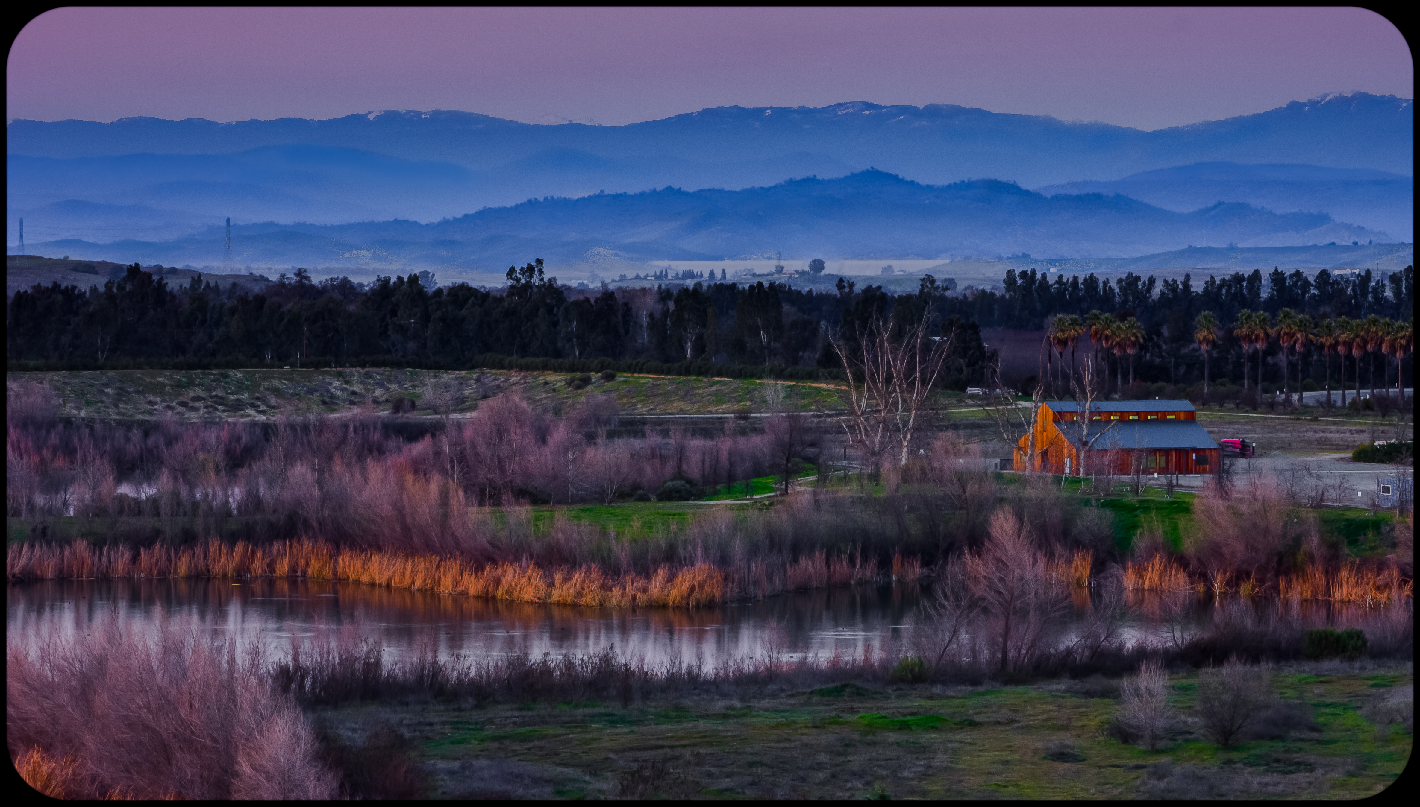
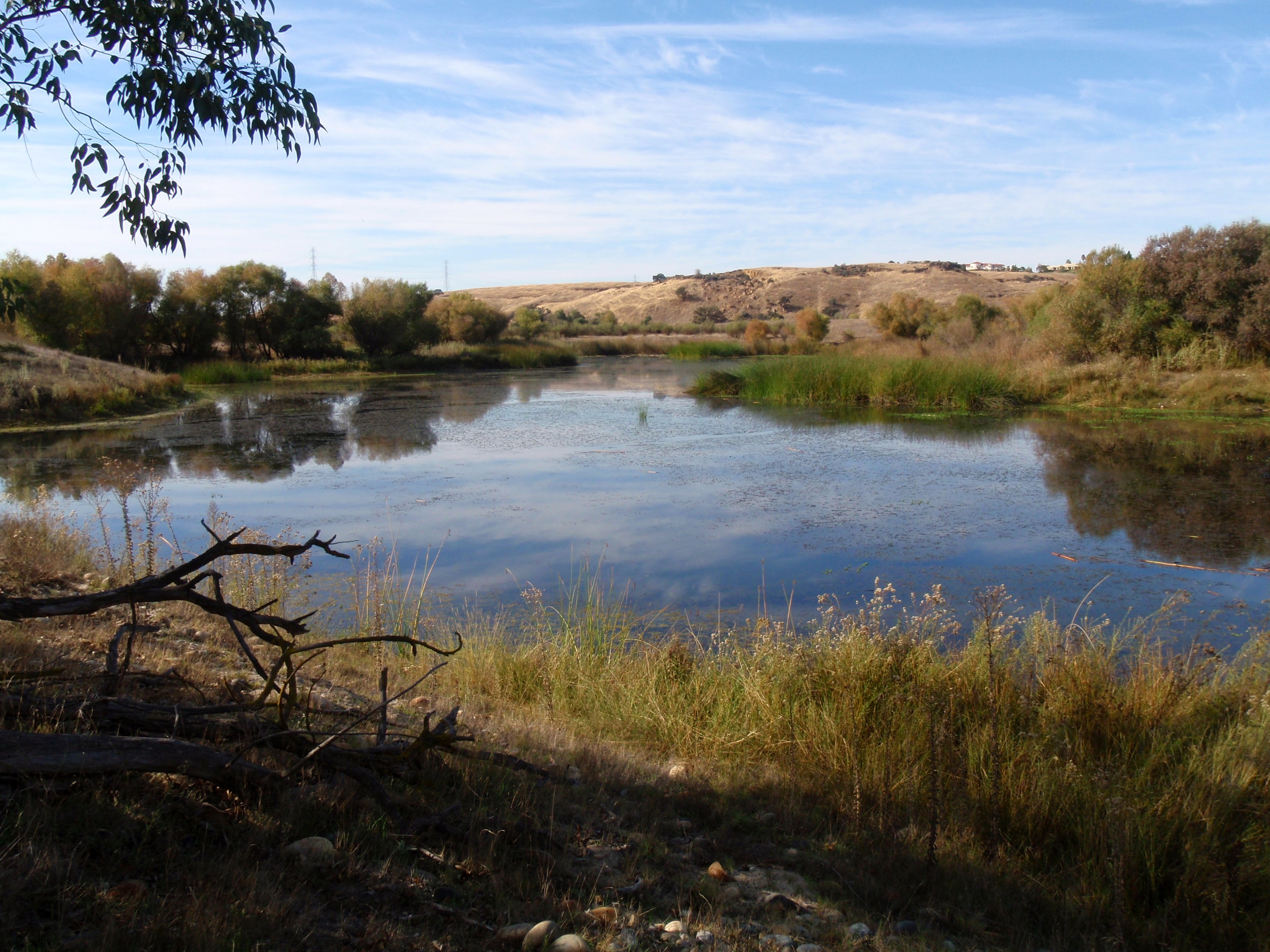
leaving Lost Lake put-in area
Topographic Map of Rocky Point Campground, Friant, CA, United States
Find elevation by address:

Places near Rocky Point Campground, Friant, CA, United States:
Millerton Rd, Friant, CA, USA
19305 Winchell Cove Rd
Friant
Table Mountain Casino
Anderson Smith Road
50920 Hildreth Rd
Hildreth Rd, Friant, CA, USA
24893 Auberry Rd
O'neals
50070 Butterfield Stage Rd
North Growth Area
Huntington Rd, Madera, CA, USA
E Copper Ave, Clovis, CA, USA
10590 N Willow Ave
26447 Auberry Rd
11356 N Via Napoli Dr
1126 E Royal Dornoch Ave
Cambridge At Riverstone
11115 Mountain View Dr
1577 N Dartmouth Ave
Recent Searches:
- Elevation of Corso Fratelli Cairoli, 35, Macerata MC, Italy
- Elevation of Tallevast Rd, Sarasota, FL, USA
- Elevation of 4th St E, Sonoma, CA, USA
- Elevation of Black Hollow Rd, Pennsdale, PA, USA
- Elevation of Oakland Ave, Williamsport, PA, USA
- Elevation of Pedrógão Grande, Portugal
- Elevation of Klee Dr, Martinsburg, WV, USA
- Elevation of Via Roma, Pieranica CR, Italy
- Elevation of Tavkvetili Mountain, Georgia
- Elevation of Hartfords Bluff Cir, Mt Pleasant, SC, USA