Elevation of Hildreth Rd, Friant, CA, USA
Location: United States > California > Fresno County > Friant >
Longitude: -119.62934
Latitude: 37.103913
Elevation: 340m / 1115feet
Barometric Pressure: 97KPa
Elevation Map:
Satellite Map:
Related Photos:
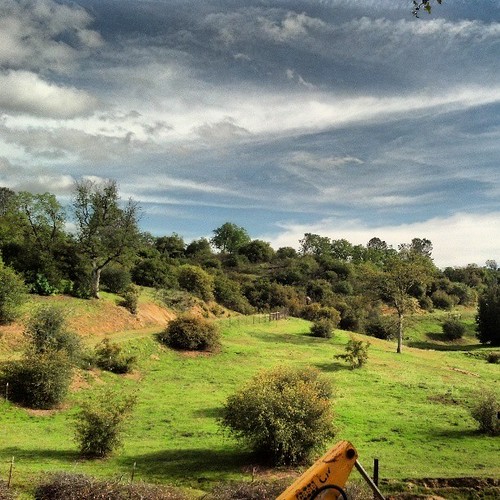
Not a bad view from Grandmas
Even from my elevated viewing place I still don't know if I will ever spot a squirrel
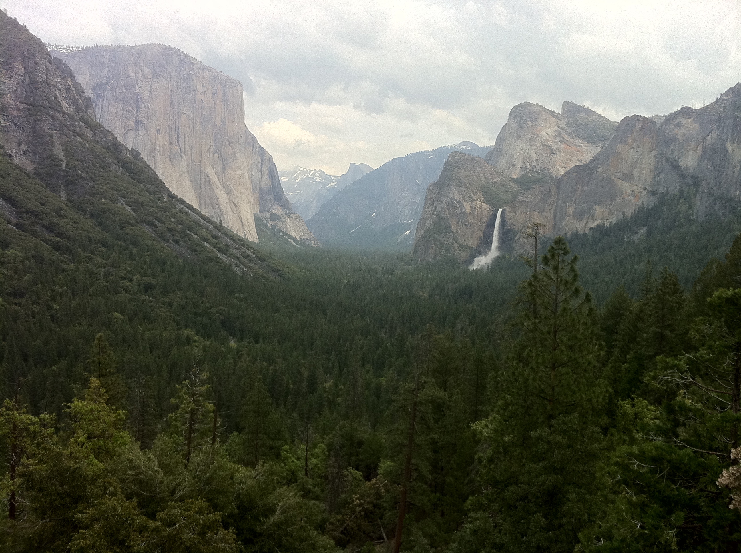
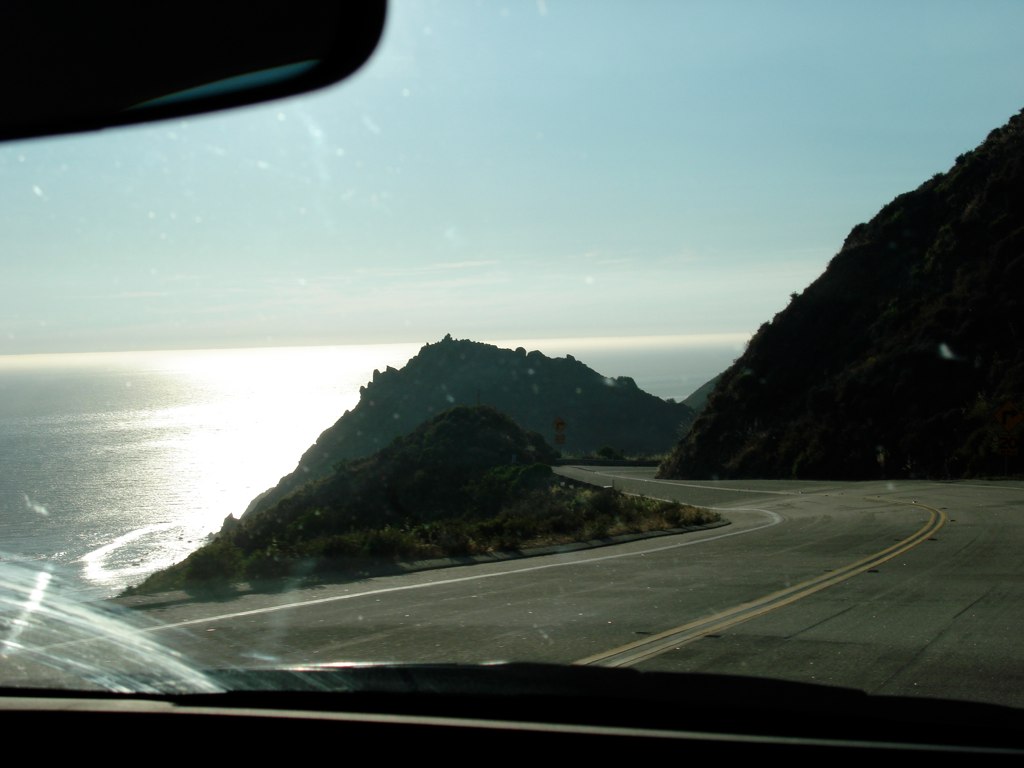
tunnel view- iphone - 69
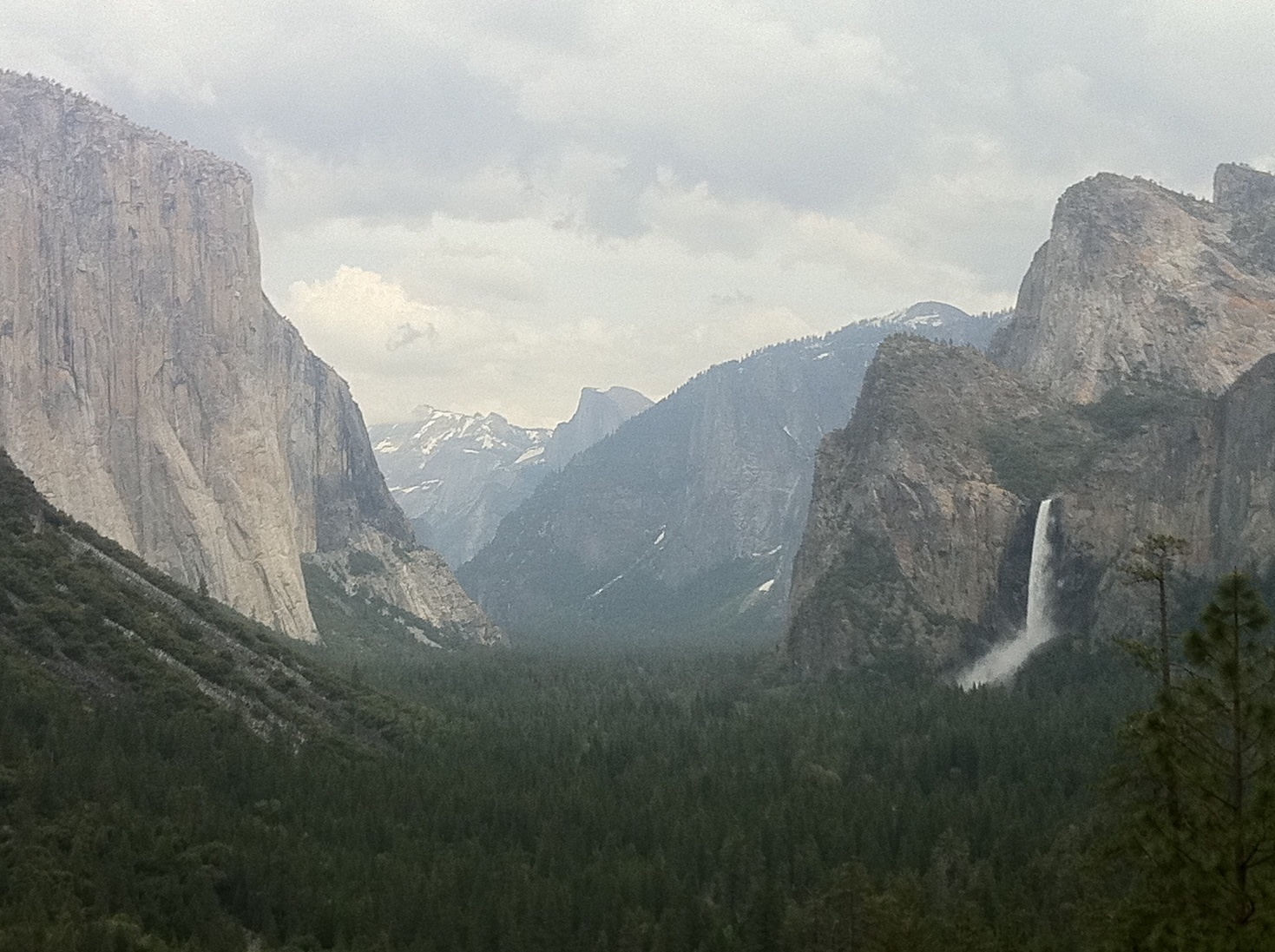
tunnel view- iphone - 71
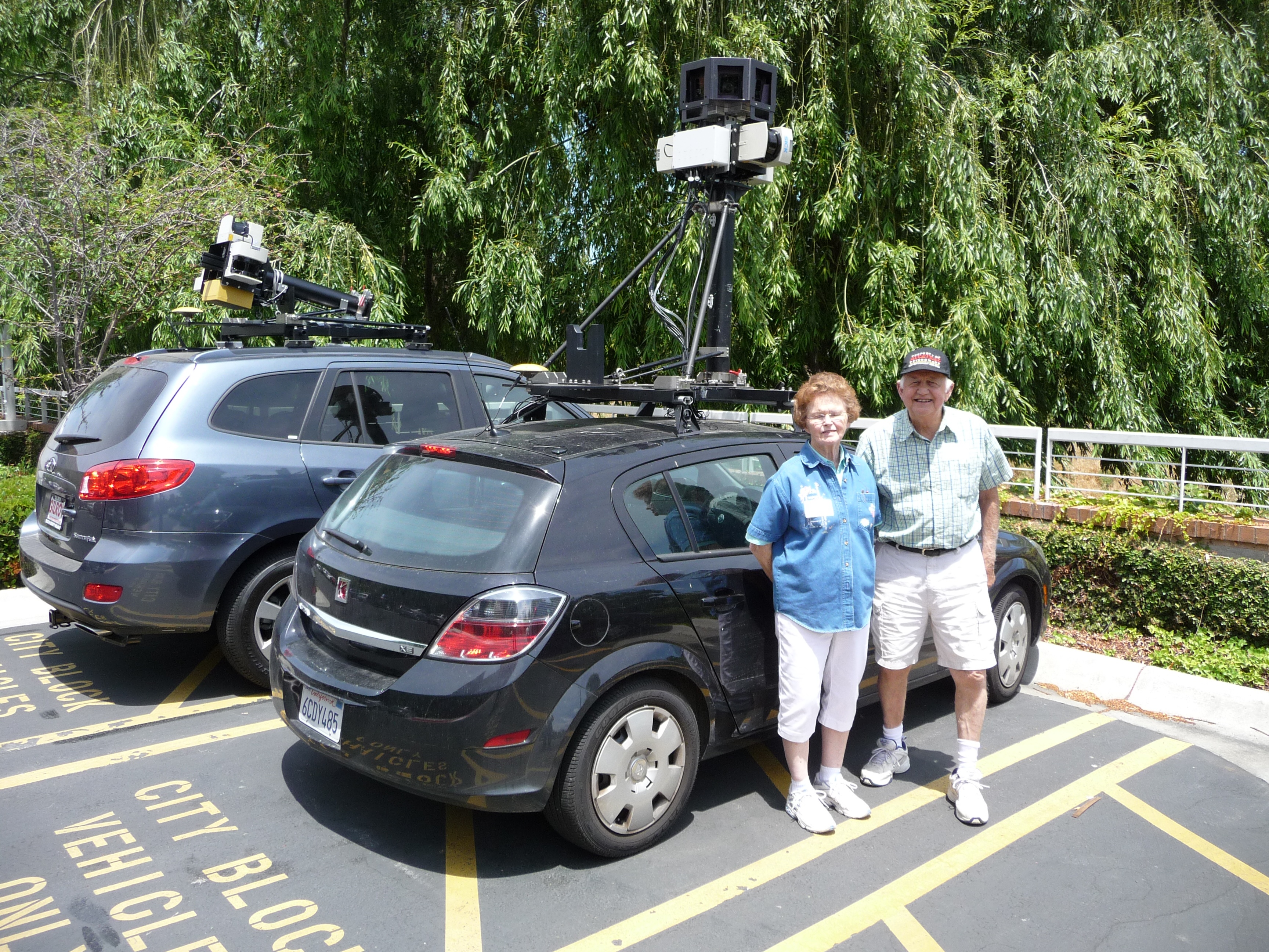
Street View Cars!
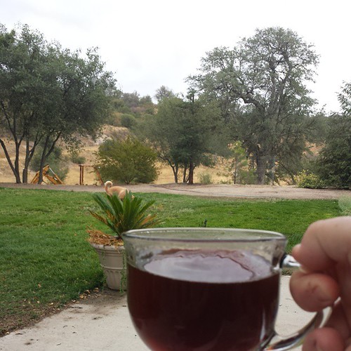
Good view at this coffee shop

In the Street View Holodeck

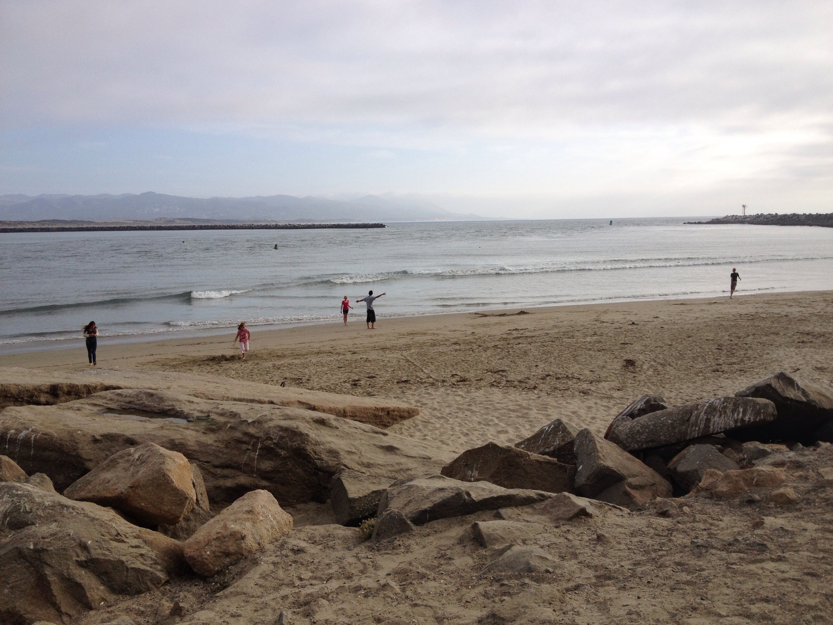
Enjoying the Beautiful View
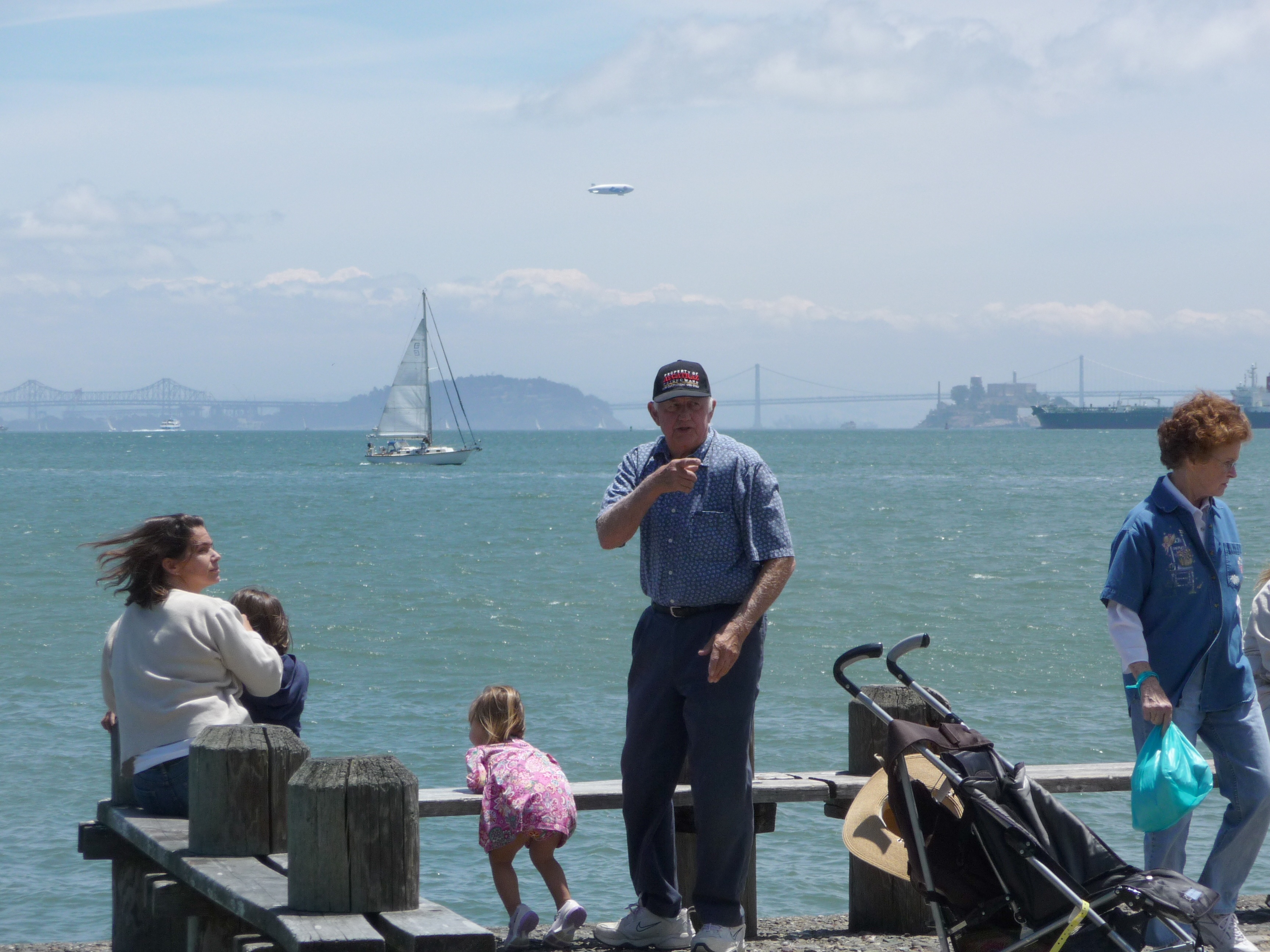
Enjoying the Beautiful View

Enjoying the Beautiful View
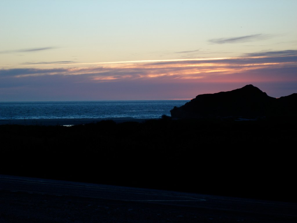
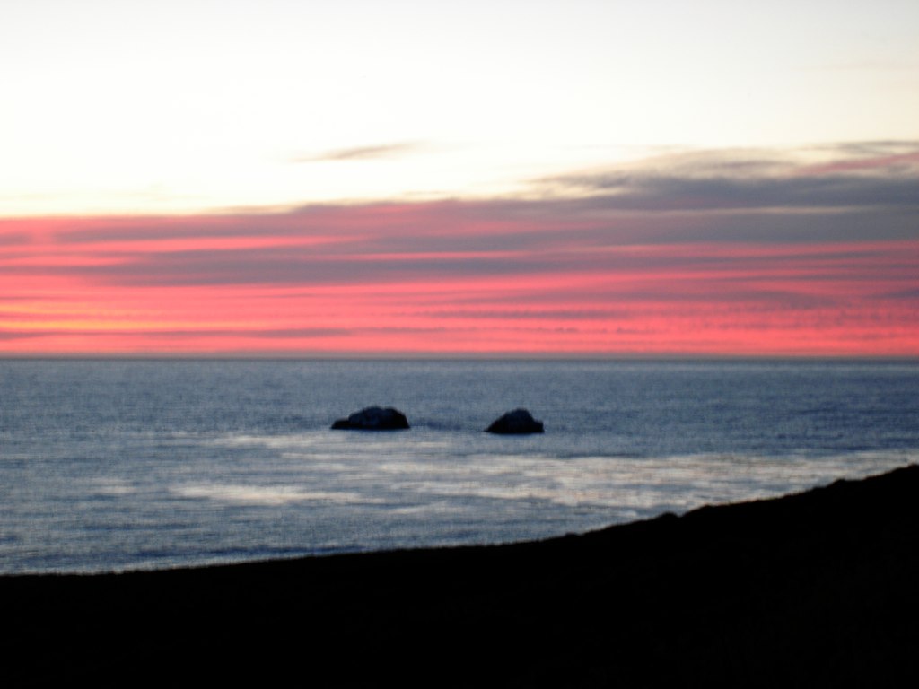
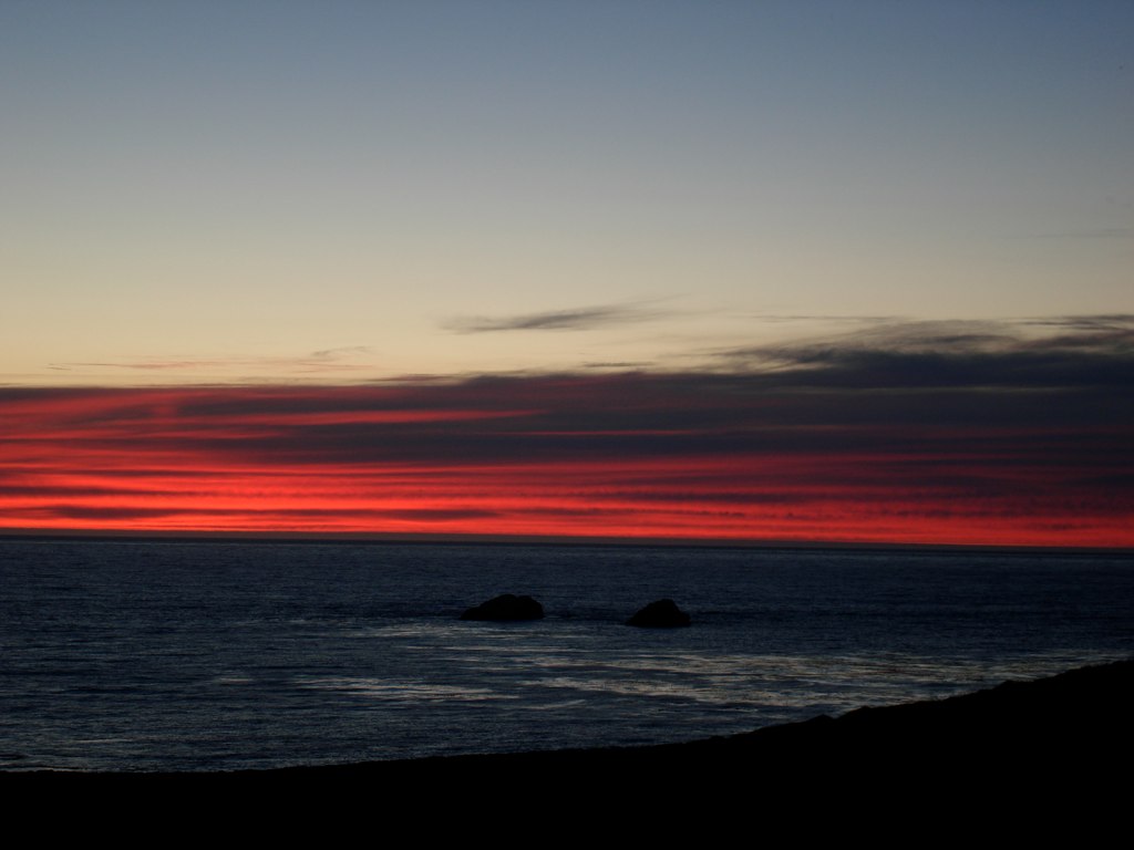
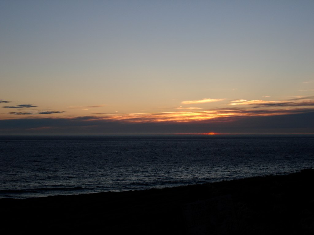
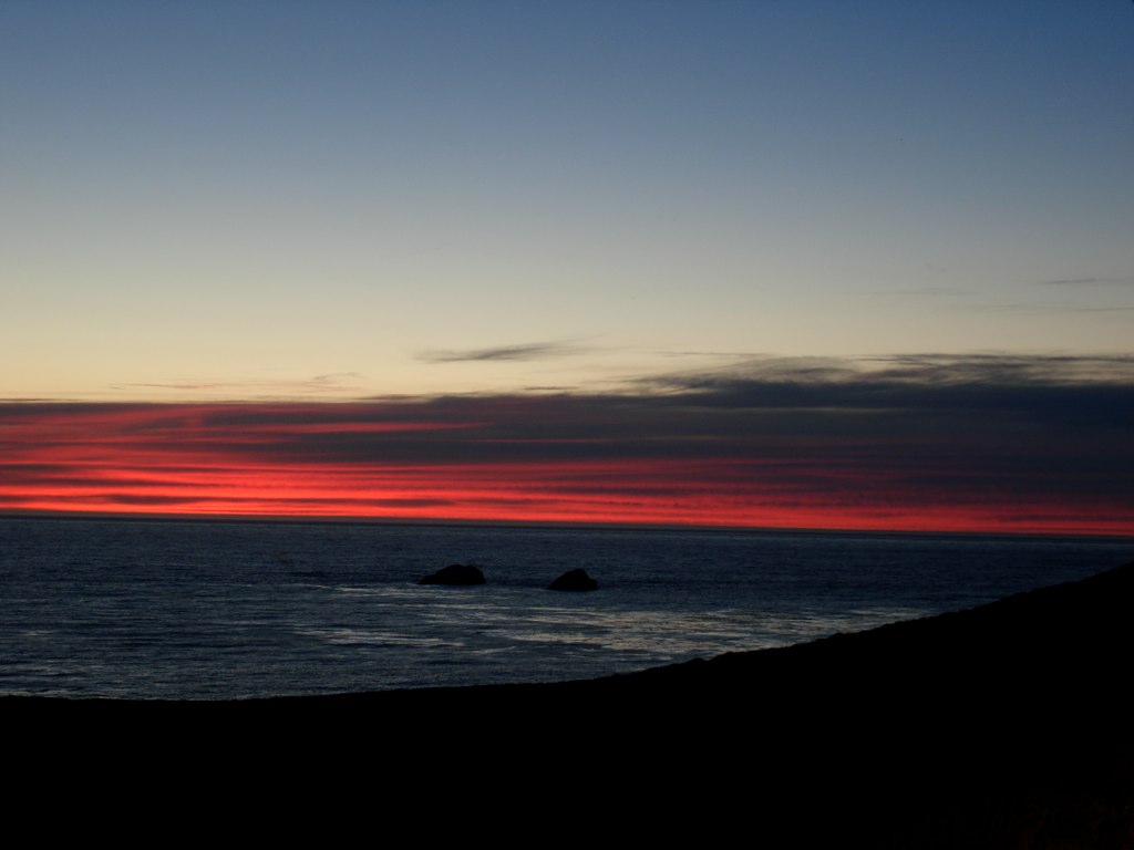
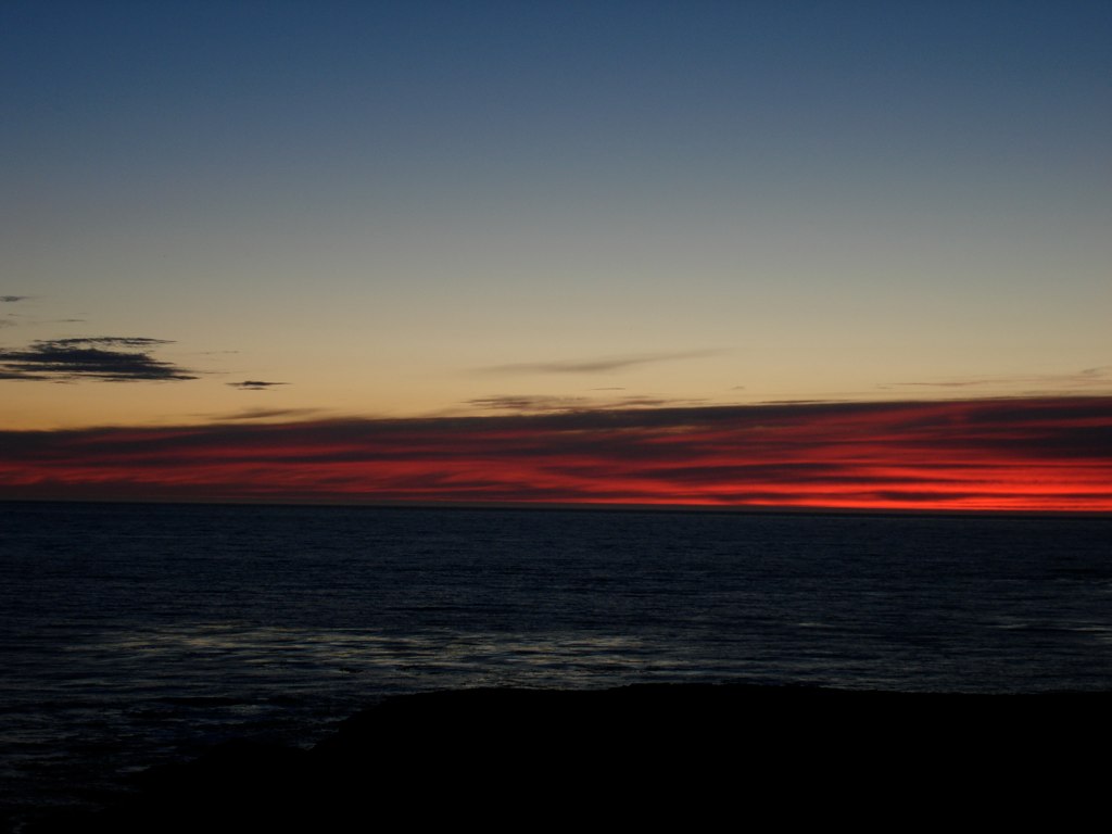
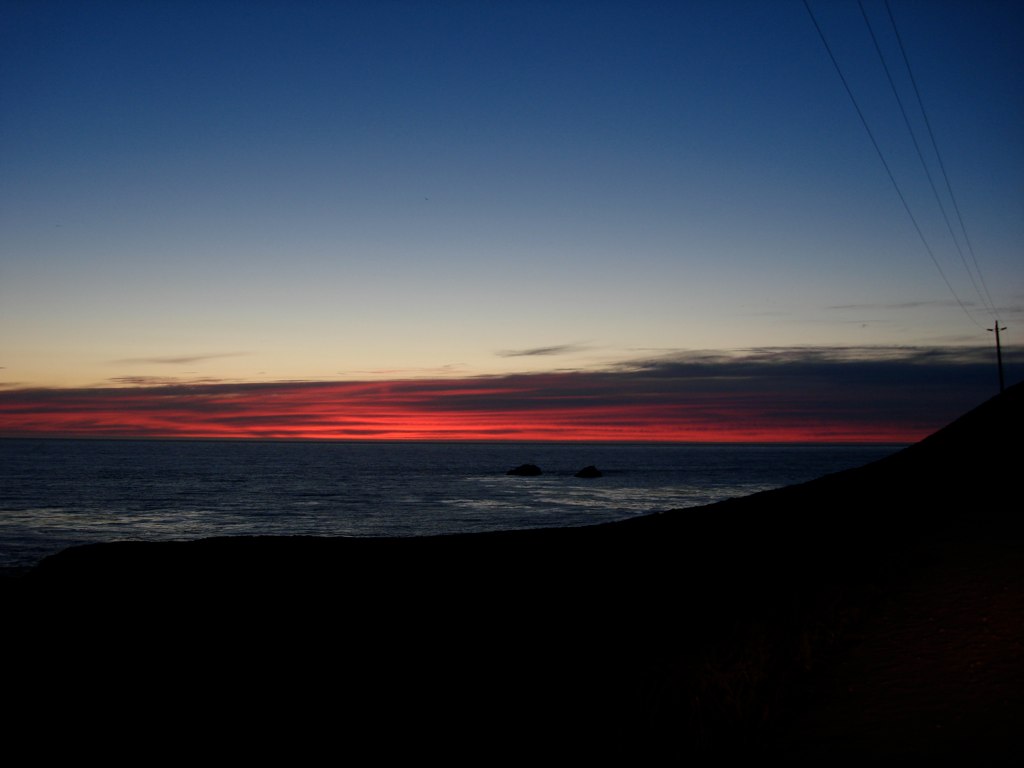
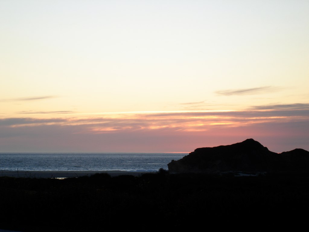
06 Sunset
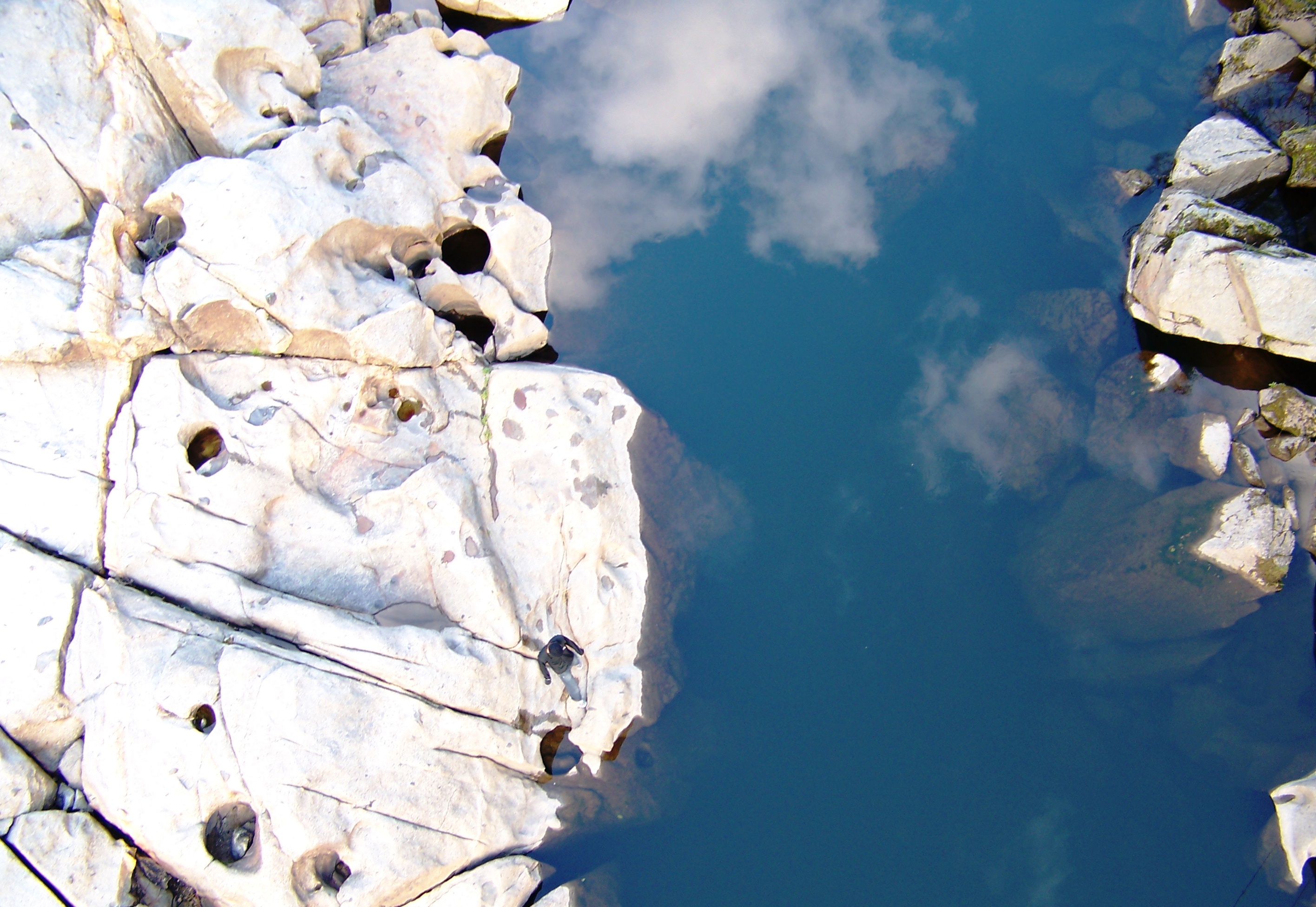
San Joaquin River Gorge - Find Ethan
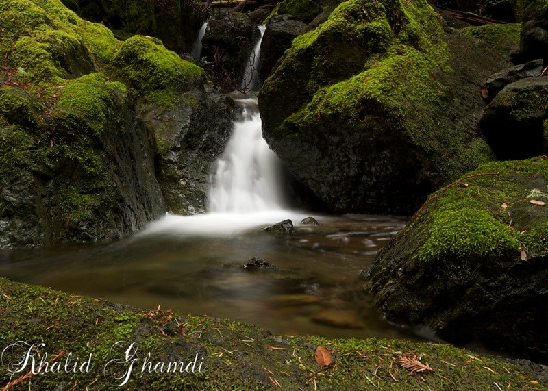
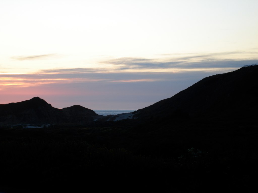
Cataract Falls
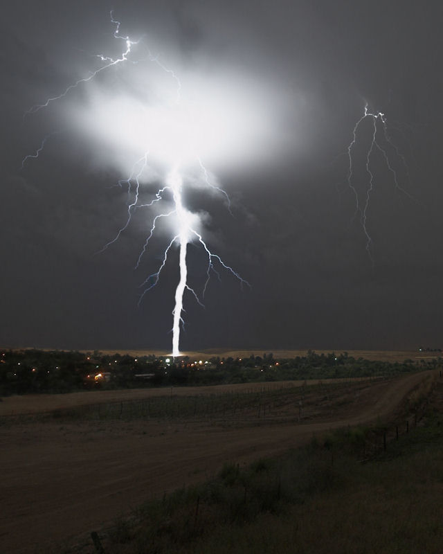
Ground Strike in Friant, CA June 5, 2011 [cropped]
DSC05318.JPG
DSC05240.JPG
DSC05333.JPG

DSC05334.JPG

Instafind!
DSC05341.JPG
DSC05312.JPG
DSC05342.JPG
Sunset in Coarsegold
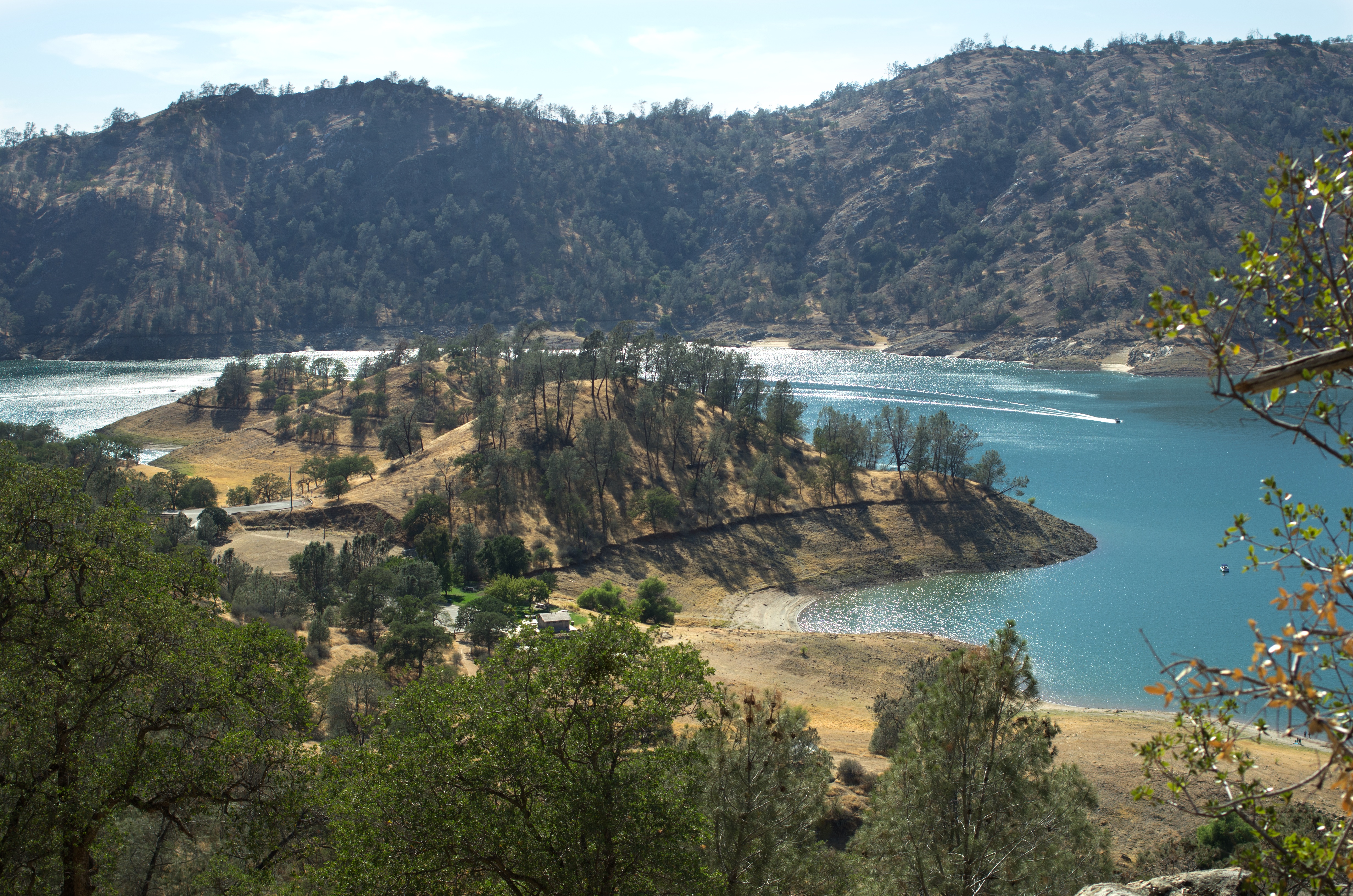
Millerton Lake from the San Joaquin River Trail, 2014 0717
DSC05343.JPG
DSC05340.JPG
DSC05275.JPG
DSC05313.JPG
DSC05319.JPG
DSC05320.JPG
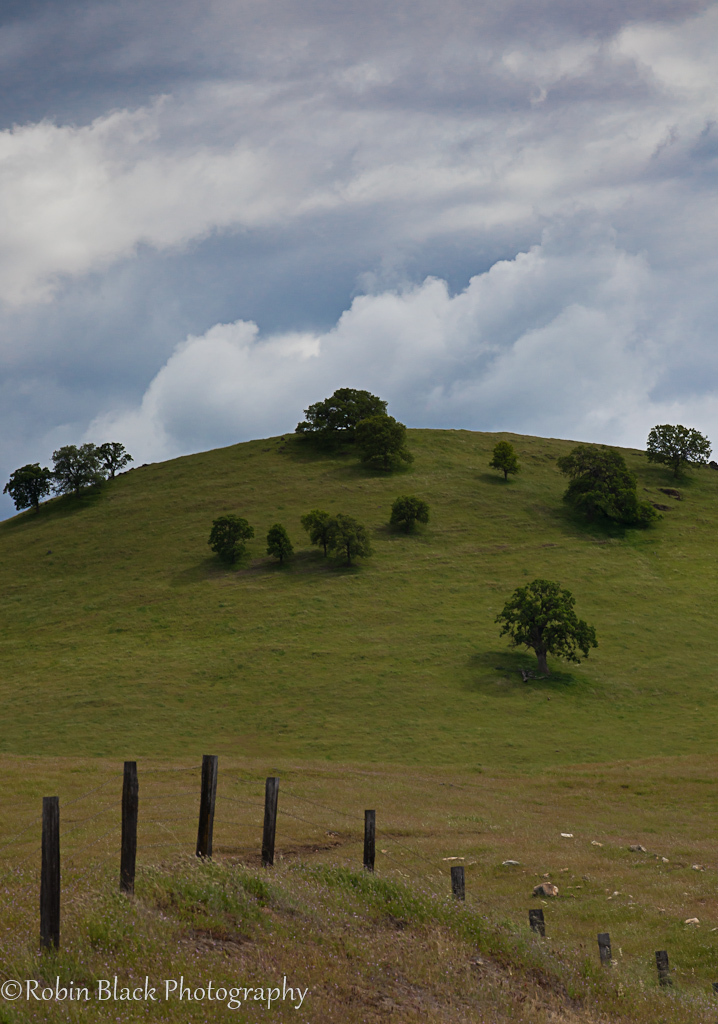
Spring, Sierra Foothills
DSC05322.JPG
Topographic Map of Hildreth Rd, Friant, CA, USA
Find elevation by address:

Places near Hildreth Rd, Friant, CA, USA:
50920 Hildreth Rd
50070 Butterfield Stage Rd
O'neals
Fine Gold
30711 Willow Pond Ln
Longview Drive
47663 Willow Pond Rd
Quartz Mountain Road
31199 Longview Ln E
31457 Crow Rd
31587 Crow Rd
31507 Quail Creek Rd
Delaware Rd, Coarsegold, CA, USA
Indian Lakes Estates
31853 Delaware Rd
47744 Klamath Ave
31177 Rolling Meadow Ct
47292 Rd 417
31820 Quartz Mountain Rd
Road 417
Recent Searches:
- Elevation of Lampiasi St, Sarasota, FL, USA
- Elevation of Elwyn Dr, Roanoke Rapids, NC, USA
- Elevation of Congressional Dr, Stevensville, MD, USA
- Elevation of Bellview Rd, McLean, VA, USA
- Elevation of Stage Island Rd, Chatham, MA, USA
- Elevation of Shibuya Scramble Crossing, 21 Udagawacho, Shibuya City, Tokyo -, Japan
- Elevation of Jadagoniai, Kaunas District Municipality, Lithuania
- Elevation of Pagonija rock, Kranto 7-oji g. 8"N, Kaunas, Lithuania
- Elevation of Co Rd 87, Jamestown, CO, USA
- Elevation of Tenjo, Cundinamarca, Colombia