Elevation of Wilson Rd, Robbins, NC, USA
Location: United States > North Carolina > Moore County > 3, Sheffield > Robbins >
Longitude: -79.484345
Latitude: 35.511927
Elevation: 150m / 492feet
Barometric Pressure: 100KPa
Elevation Map:
Satellite Map:
Related Photos:
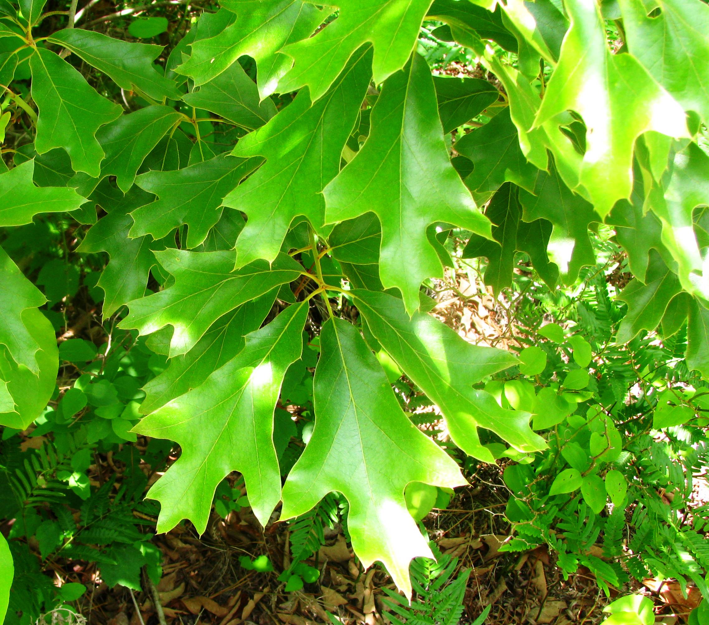
Quercus falcata
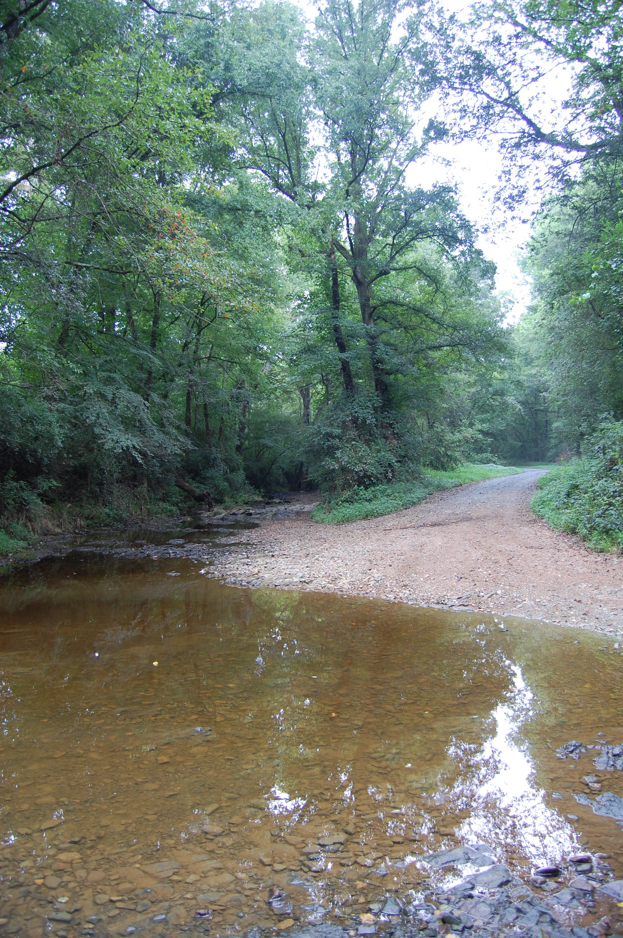
Flat Creek ford
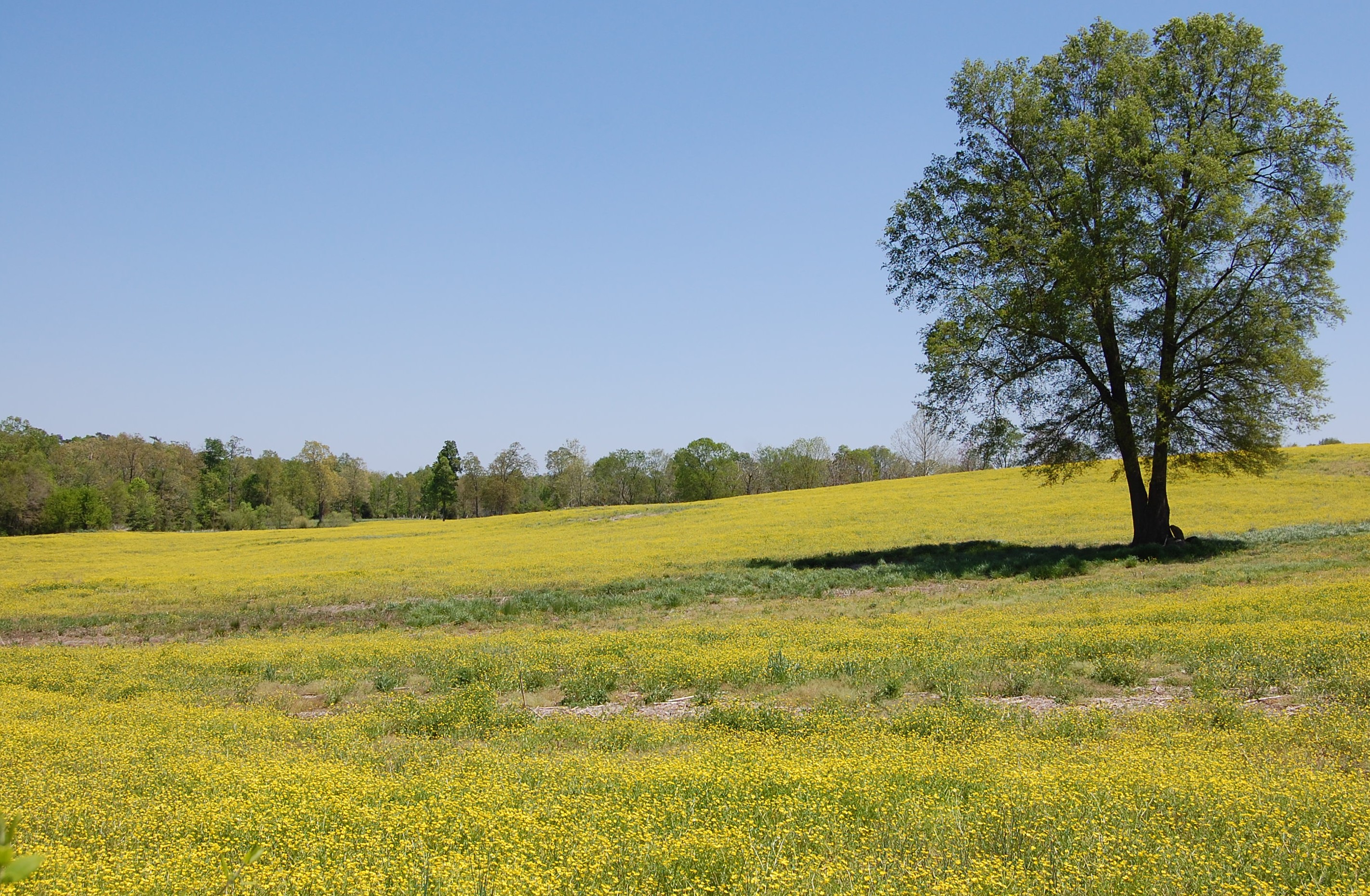
Fields of Gold

Devil's Stompin' Ground Scenic Byway

Devil's Stompin' Ground Scenic Byway
20150725-DSC_8202

Running With The Devil
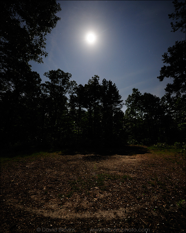
Full Moon over the Devil's Stompin' Ground
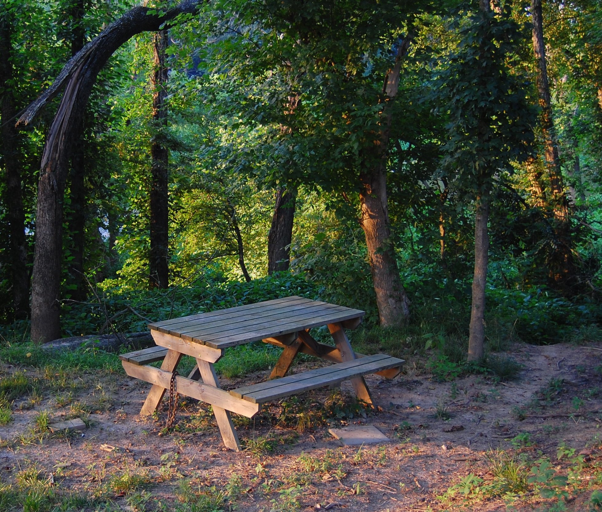
Picnic and path
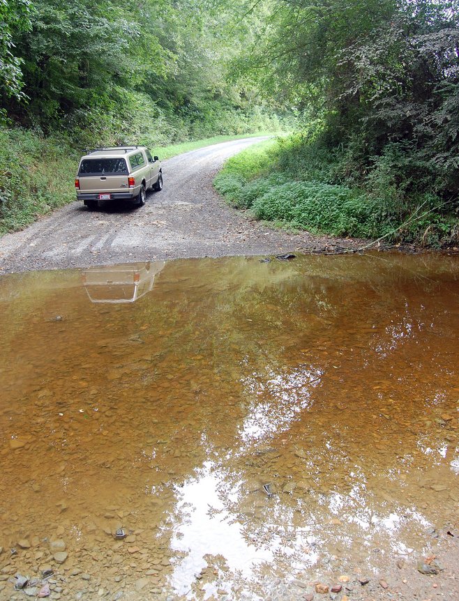
Flat Creek ford
Topographic Map of Wilson Rd, Robbins, NC, USA
Find elevation by address:

Places near Wilson Rd, Robbins, NC, USA:
4, Ritter
High Falls
185 Charlie Garner Rd
Bear Creek
NC-22, Robbins, NC, USA
Herring Path
Bennett
1347 Vander Oldham Rd
925 Lakewood Falls Rd
137 Clifftop Dr
NC-, Bear Creek, NC, USA
203 Smyrna Church Rd
Brush Creek Rd, Bennett, NC, USA
411 Emma Ln
Robbins
203 S Middleton St
6790 Bennett Rd
129 Elcanie Rd
Bear Creek
Moore County
Recent Searches:
- Elevation of Lampiasi St, Sarasota, FL, USA
- Elevation of Elwyn Dr, Roanoke Rapids, NC, USA
- Elevation of Congressional Dr, Stevensville, MD, USA
- Elevation of Bellview Rd, McLean, VA, USA
- Elevation of Stage Island Rd, Chatham, MA, USA
- Elevation of Shibuya Scramble Crossing, 21 Udagawacho, Shibuya City, Tokyo -, Japan
- Elevation of Jadagoniai, Kaunas District Municipality, Lithuania
- Elevation of Pagonija rock, Kranto 7-oji g. 8"N, Kaunas, Lithuania
- Elevation of Co Rd 87, Jamestown, CO, USA
- Elevation of Tenjo, Cundinamarca, Colombia