Elevation of Emma Ln, Robbins, NC, USA
Location: United States > North Carolina > Moore County > 3, Sheffield > Robbins >
Longitude: -79.577266
Latitude: 35.4235303
Elevation: 143m / 469feet
Barometric Pressure: 100KPa
Elevation Map:
Satellite Map:
Related Photos:
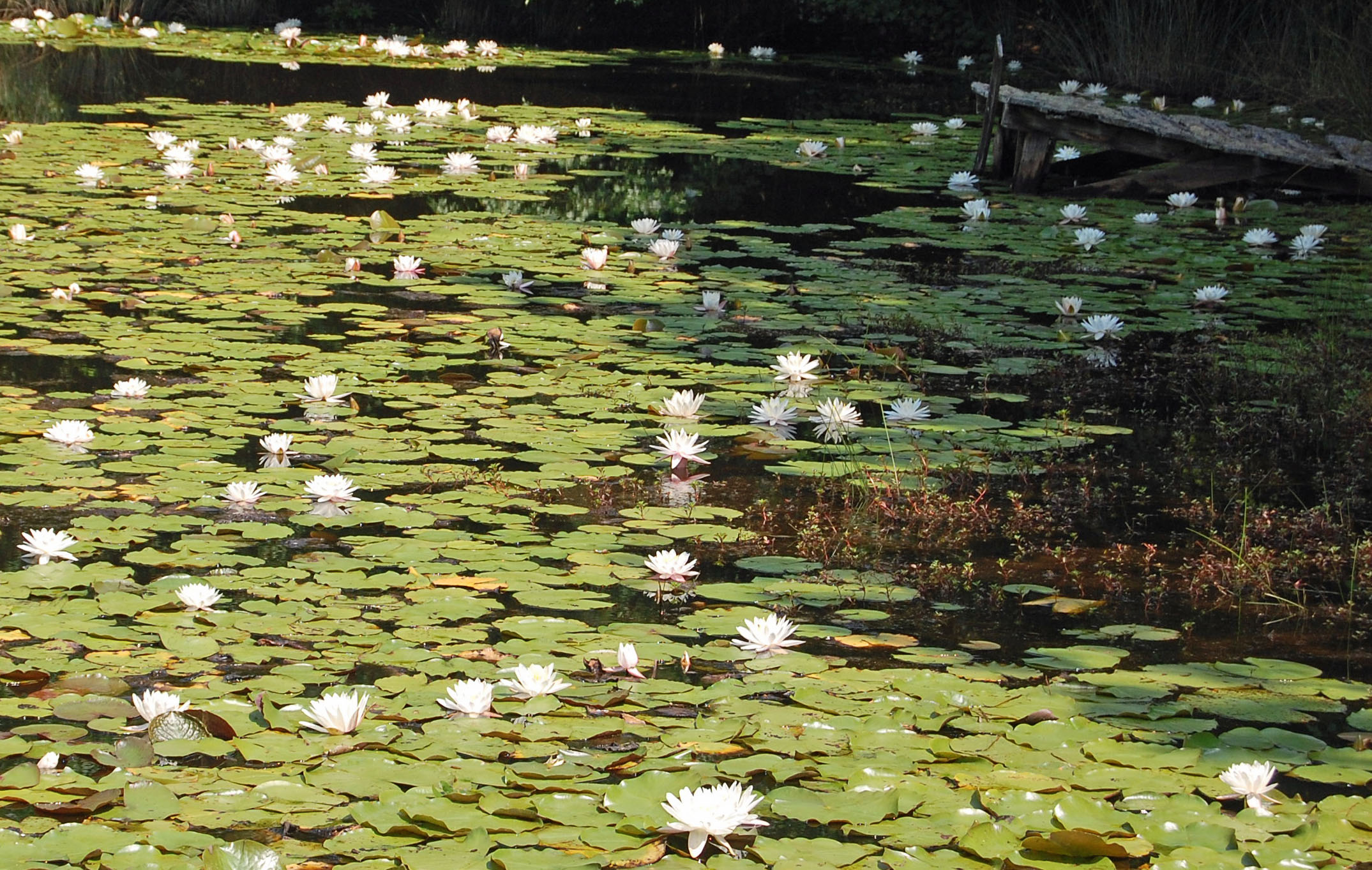
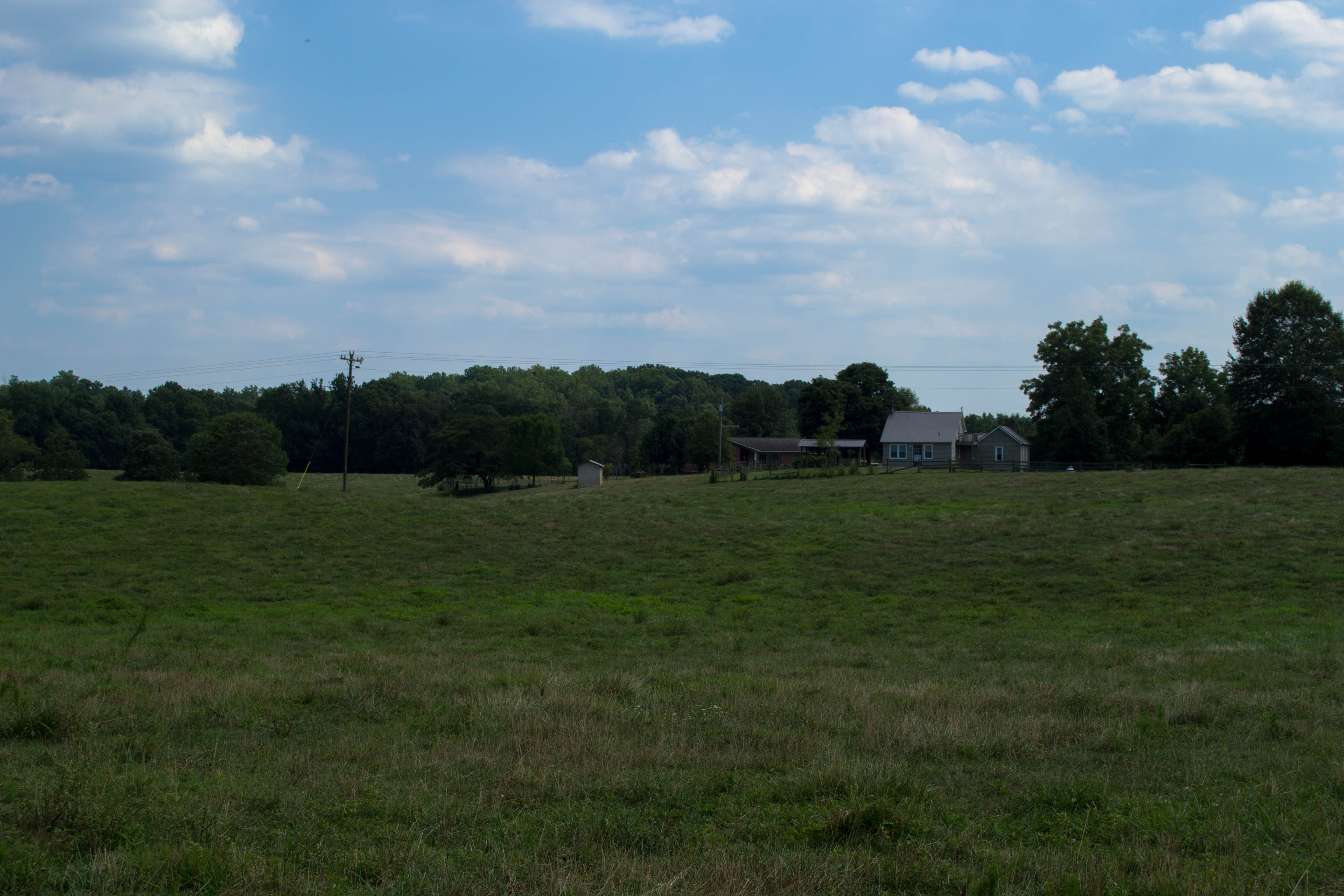
Not a Monet
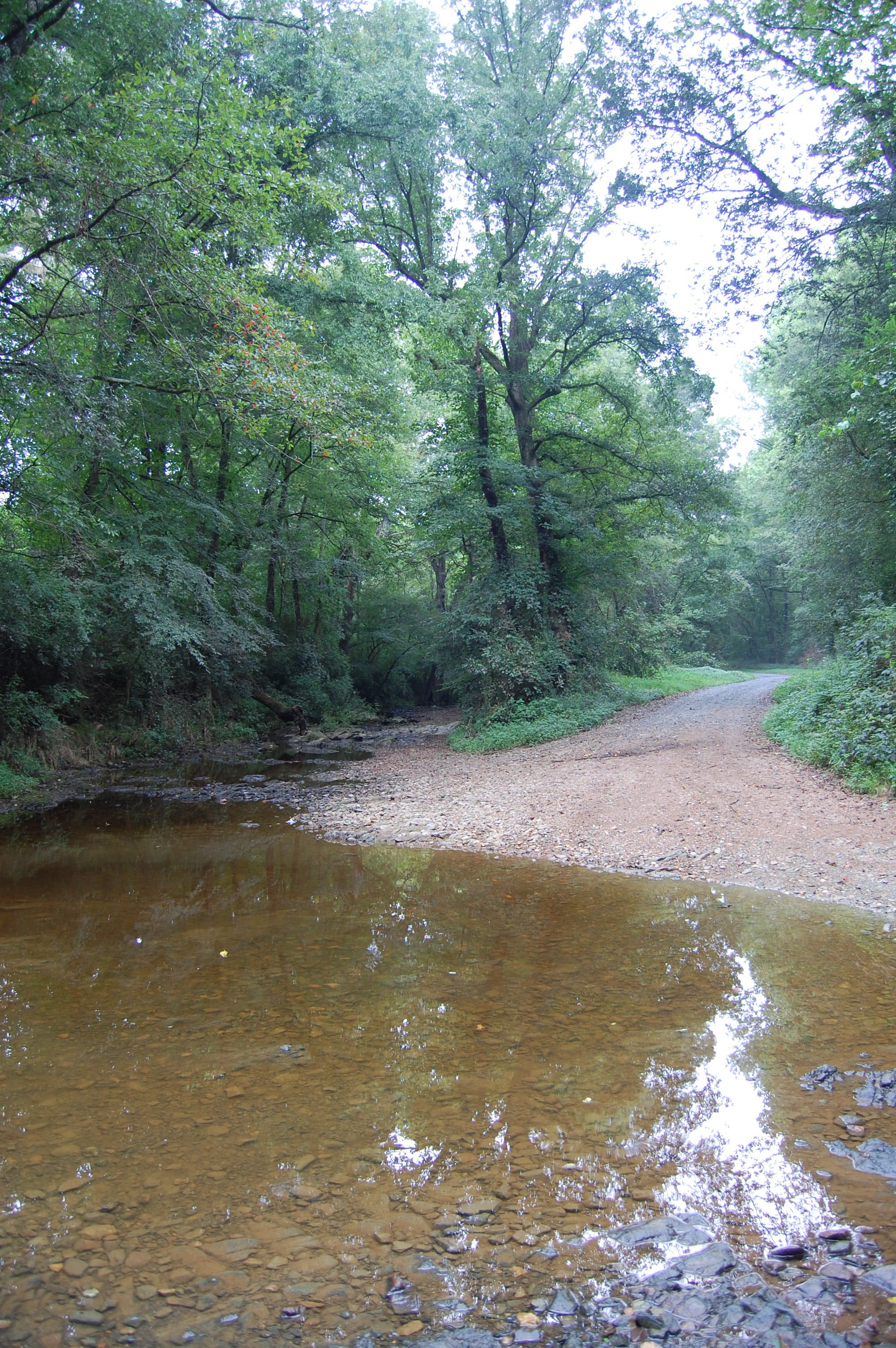
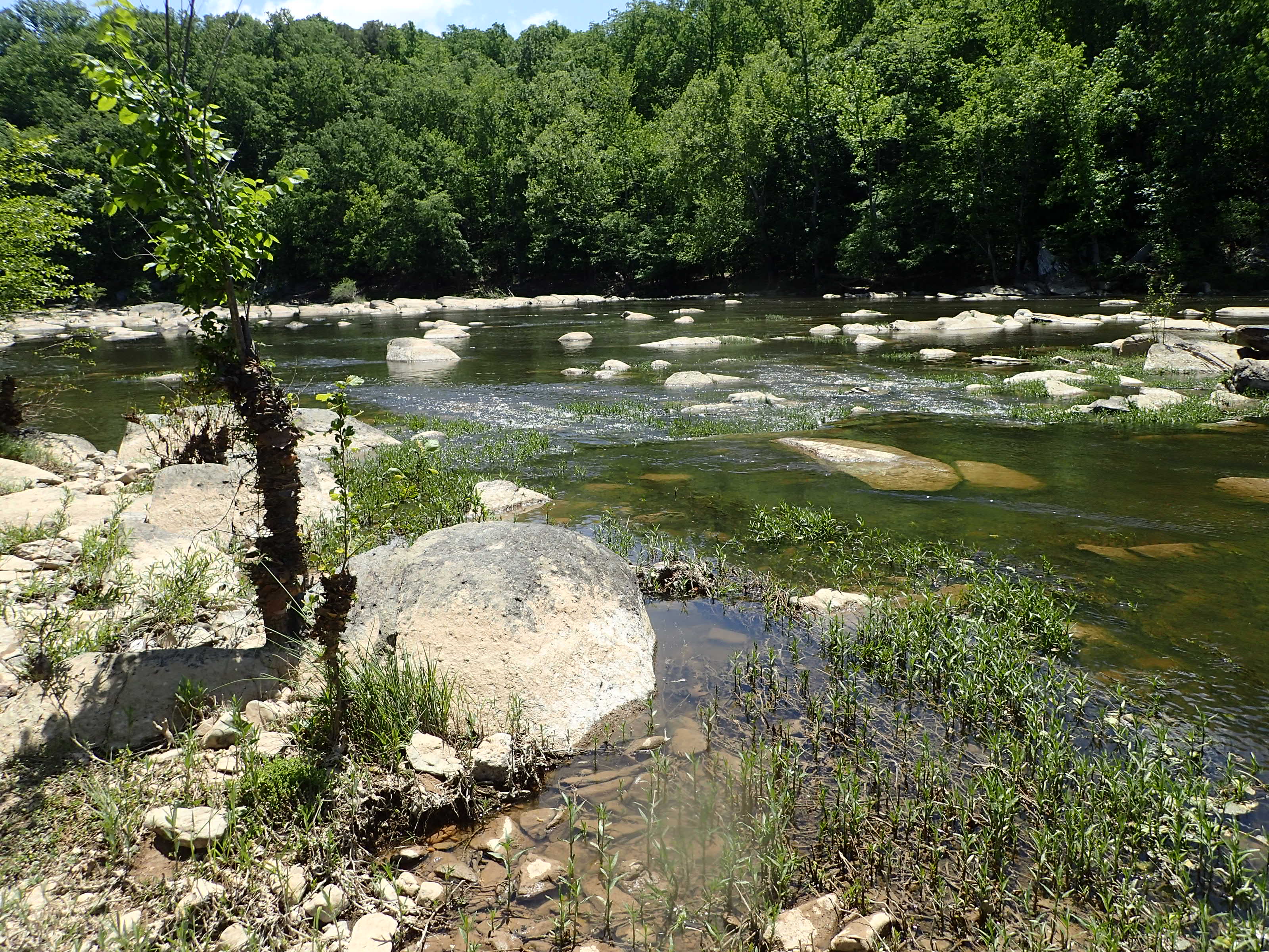
Flat Creek ford
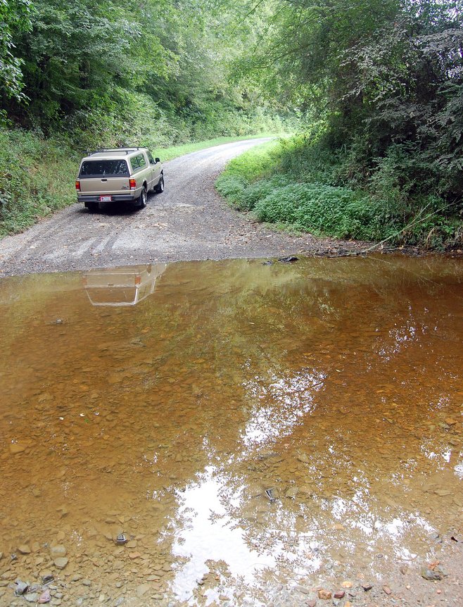
Flat Creek ford
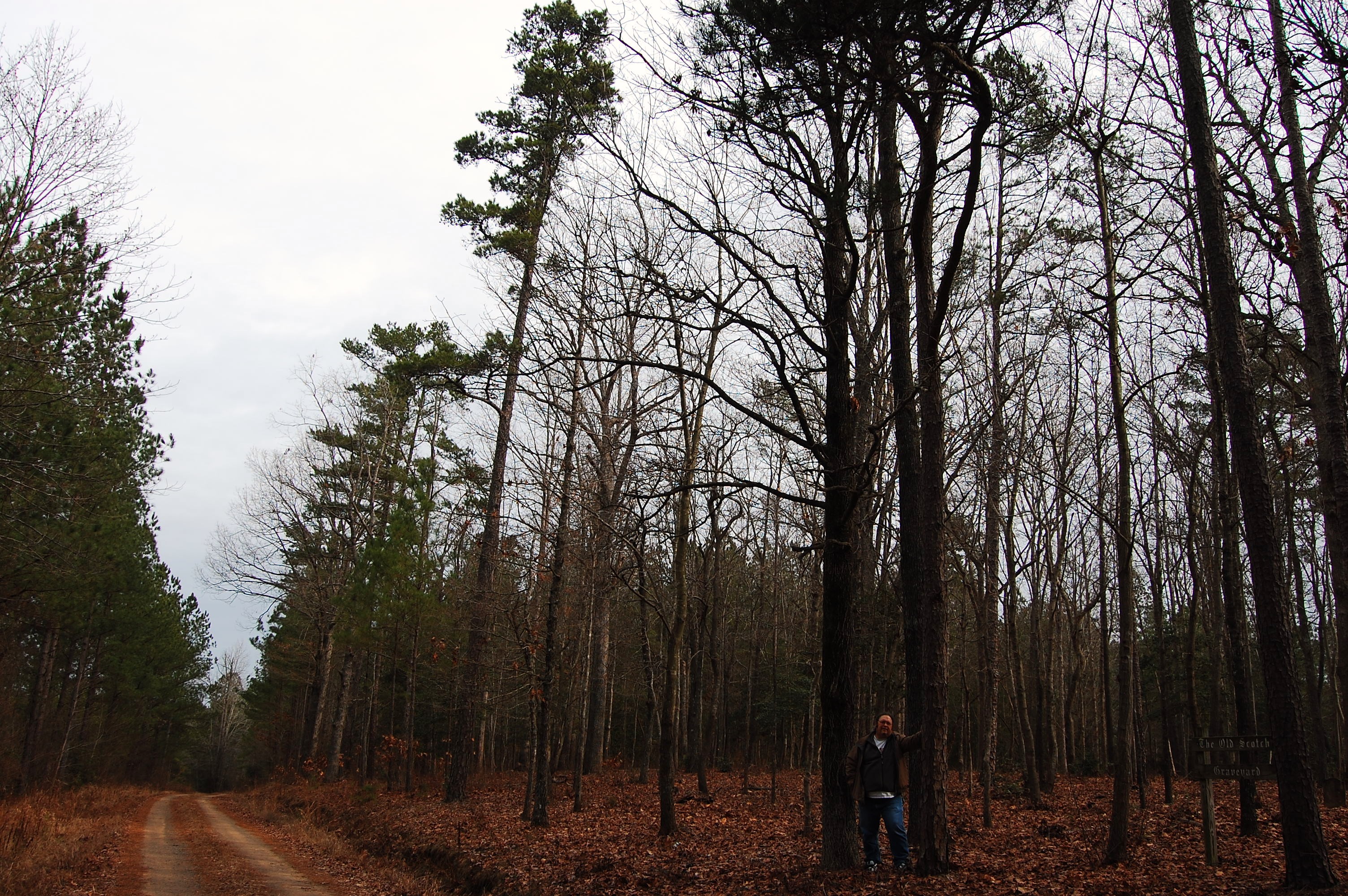
Old Scotch Burial Ground

Old Scotch Burial Ground
20150725-DSC_8202
Cape Fear shiner habitat

WWII WORK HORSE
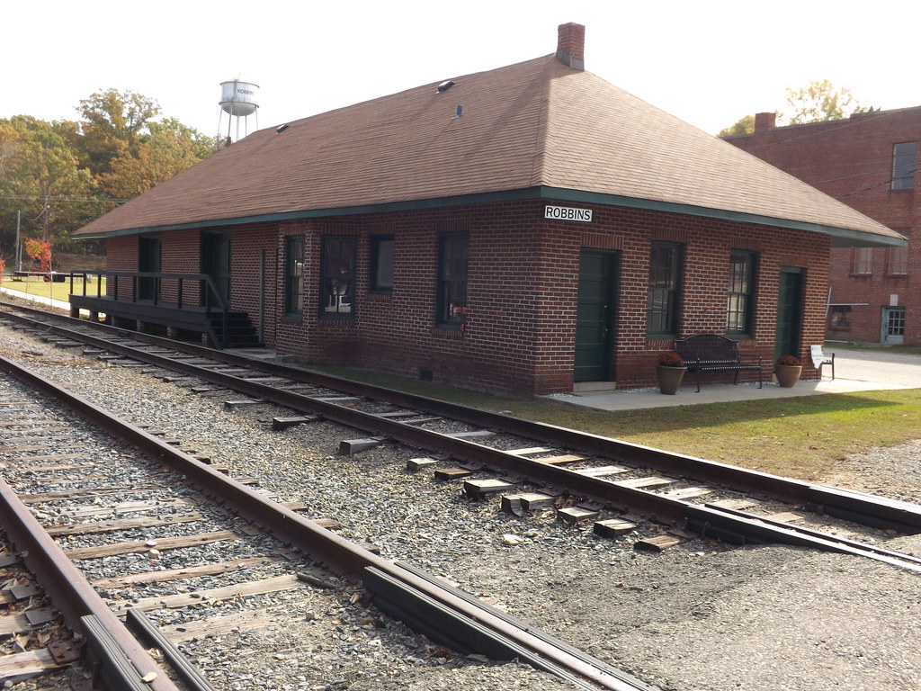
Norfolk and Southern Station Robbin, NC
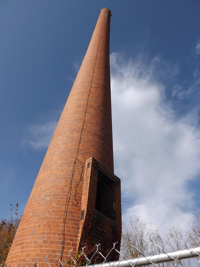
Tall and Abandoned
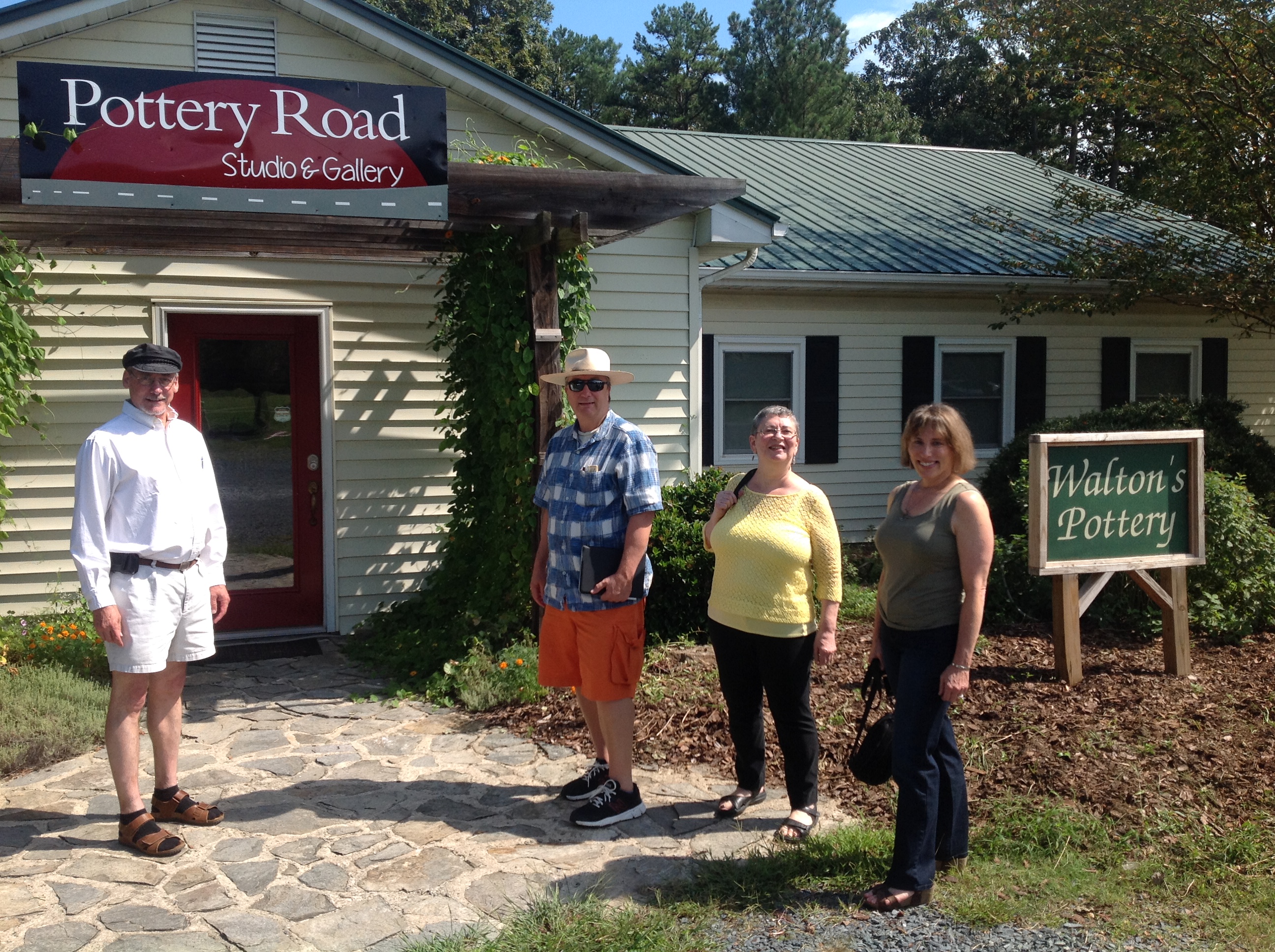
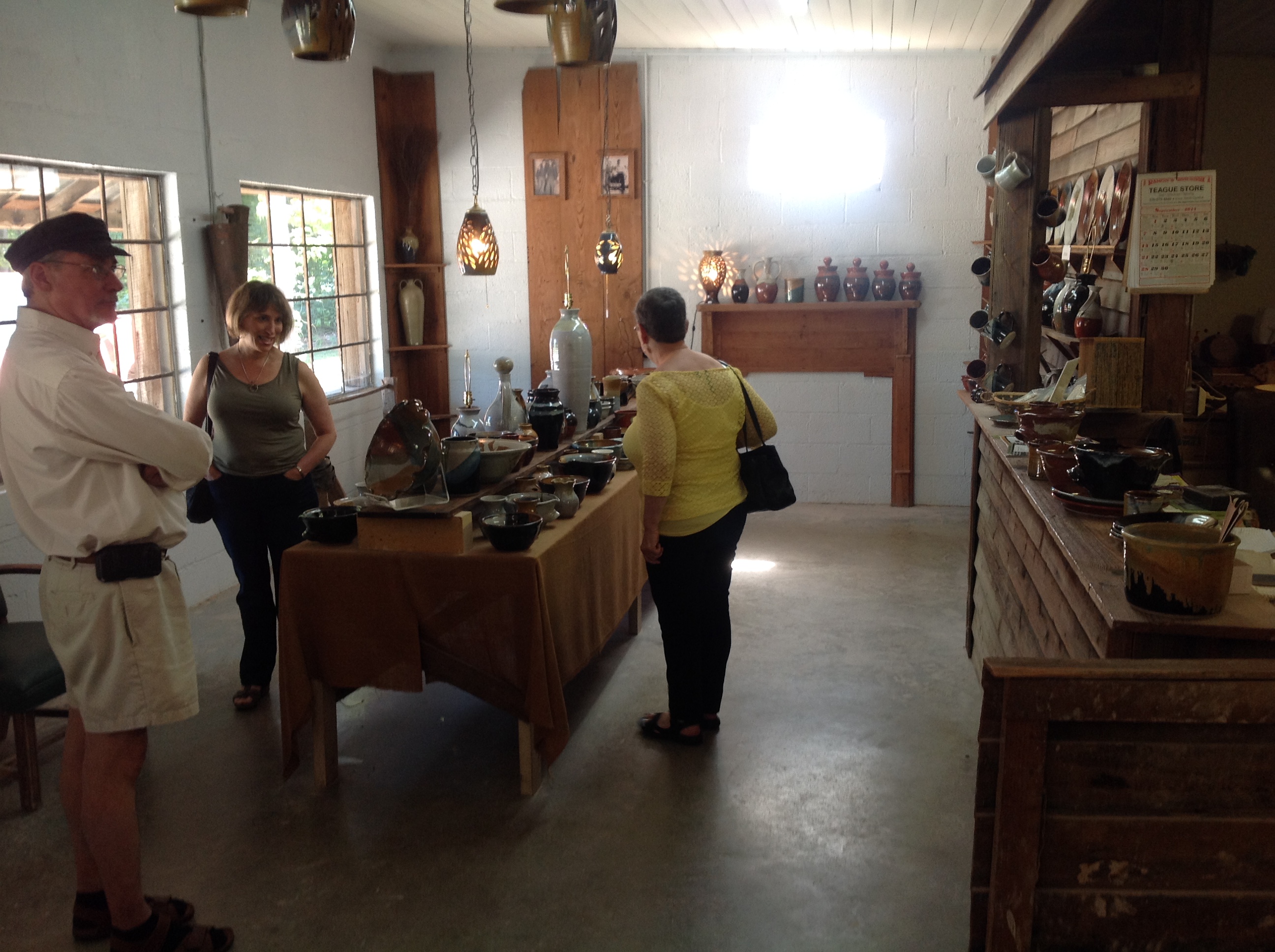
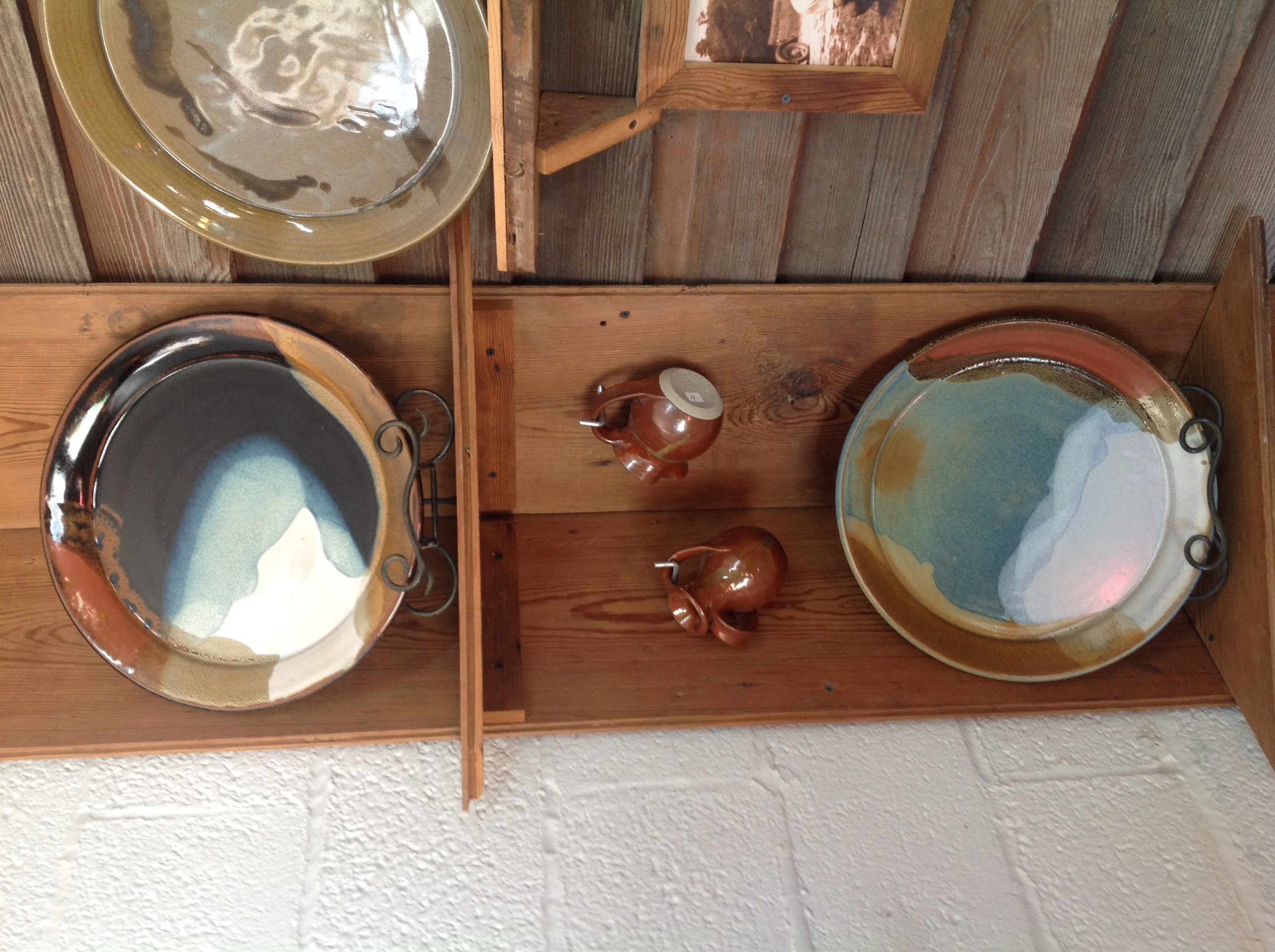
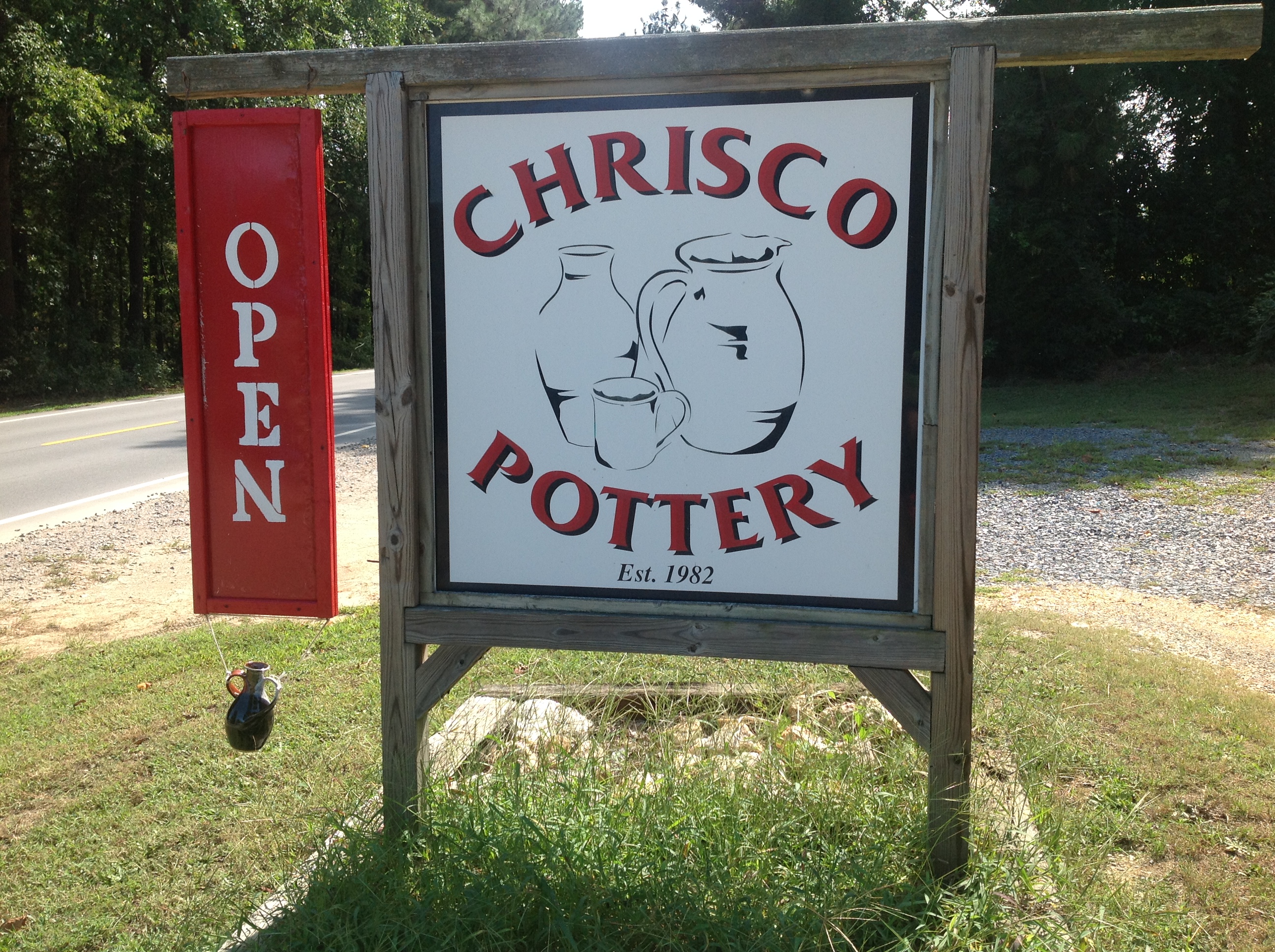
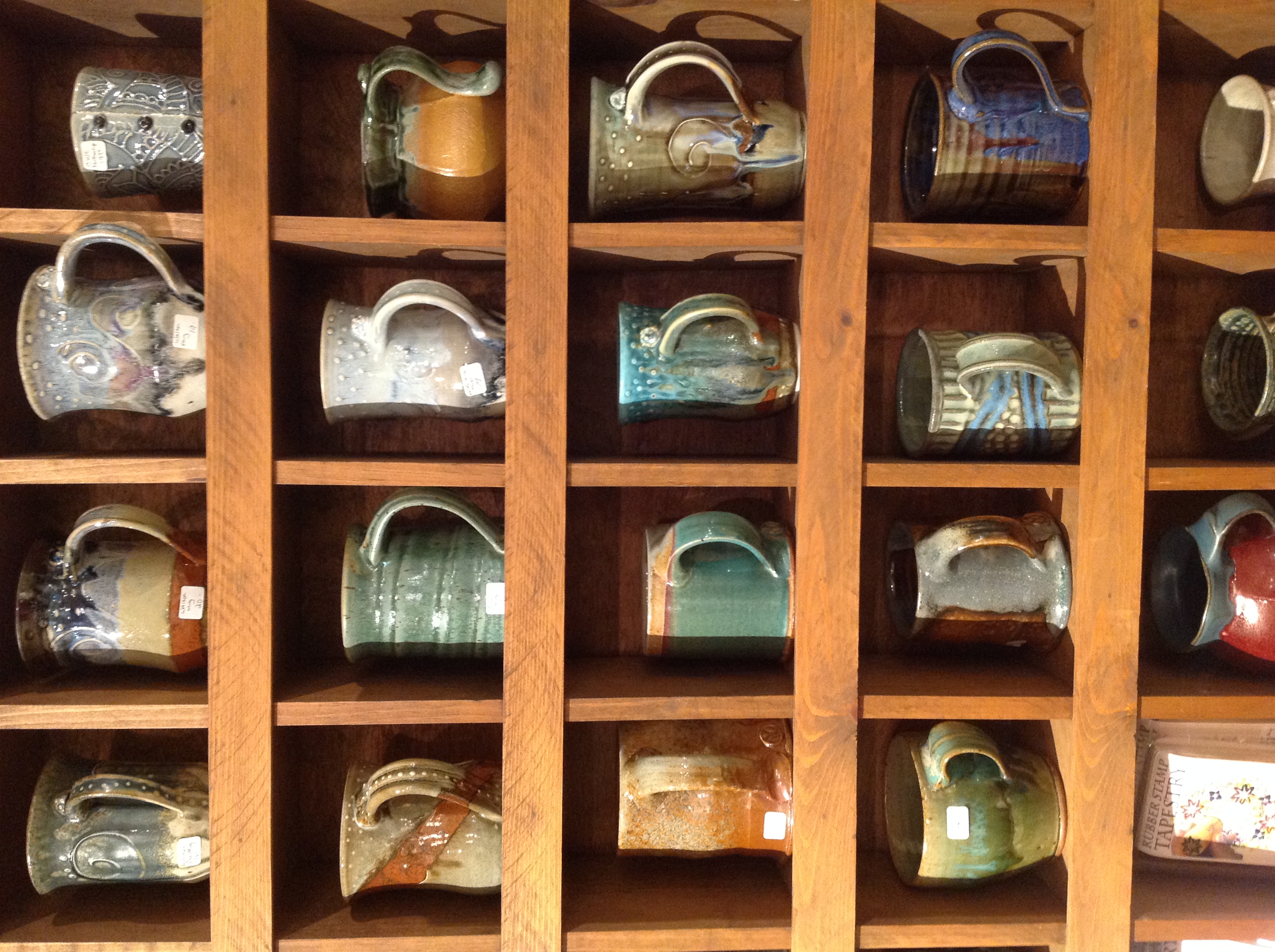
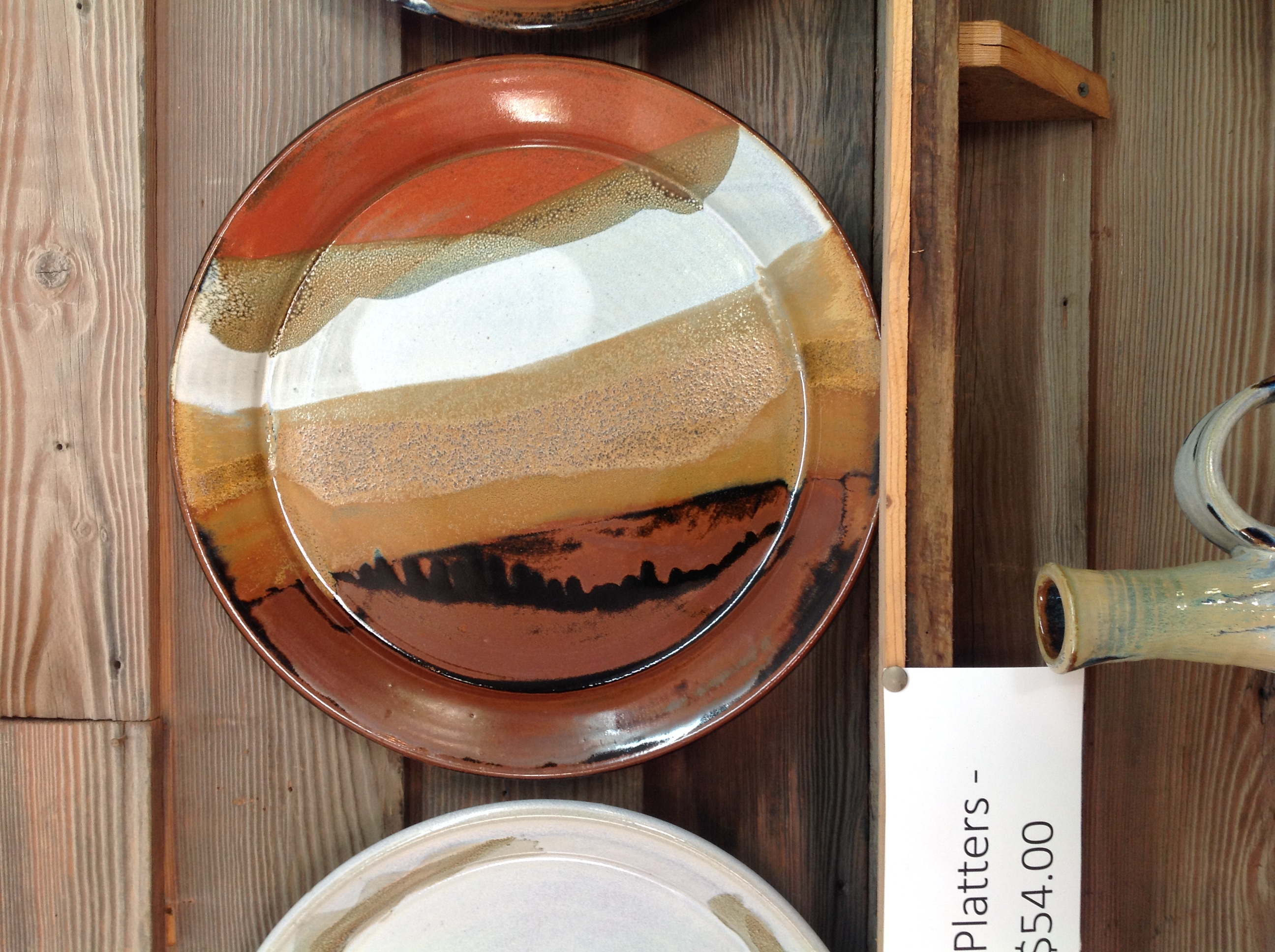
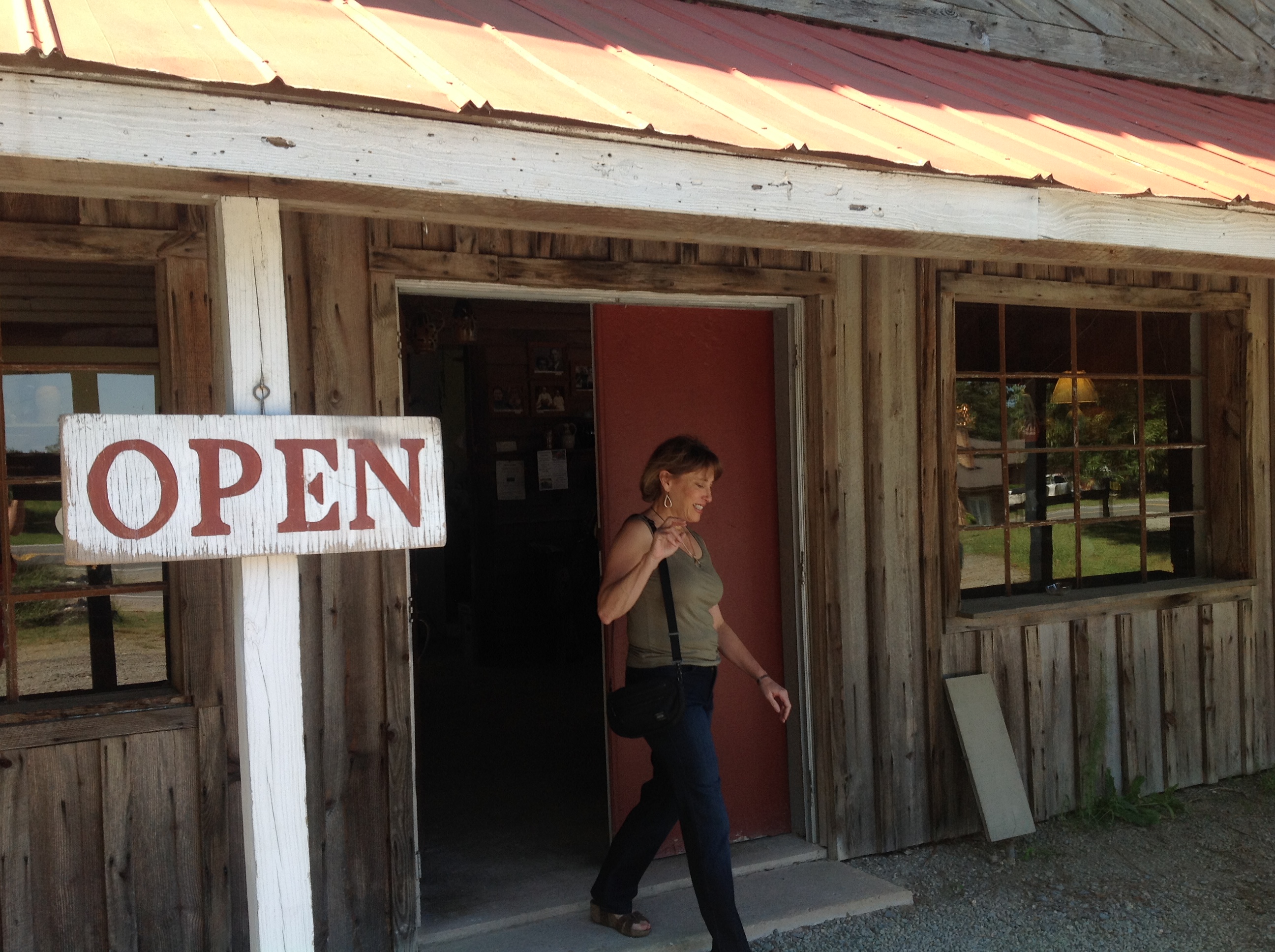
Seagrove, Potter's Villiage
Seagrove, Potter's Villiage
Seagrove, Potter's Villiage
Seagrove, Potter's Villiage
Seagrove, Potter's Villiage
Seagrove, Potter's Villiage

Seagrove, Potter's Villiage

Seagrove, Potter's Villiage
Seagrove, Potter's Villiage
Seagrove, Potter's Villiage
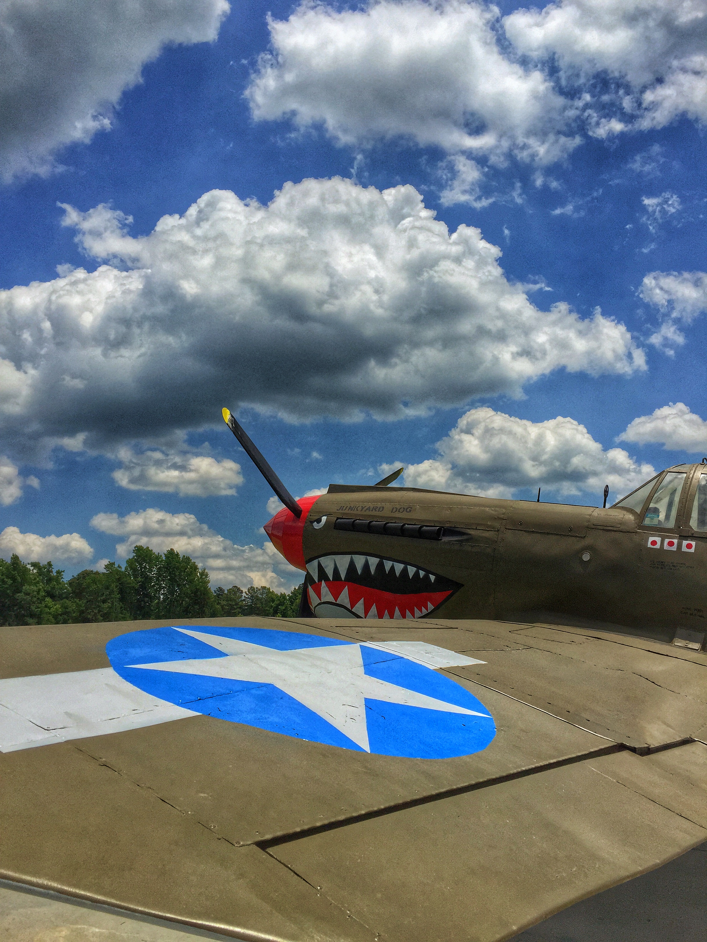
Scratch built P-40.

Teacher's daughters
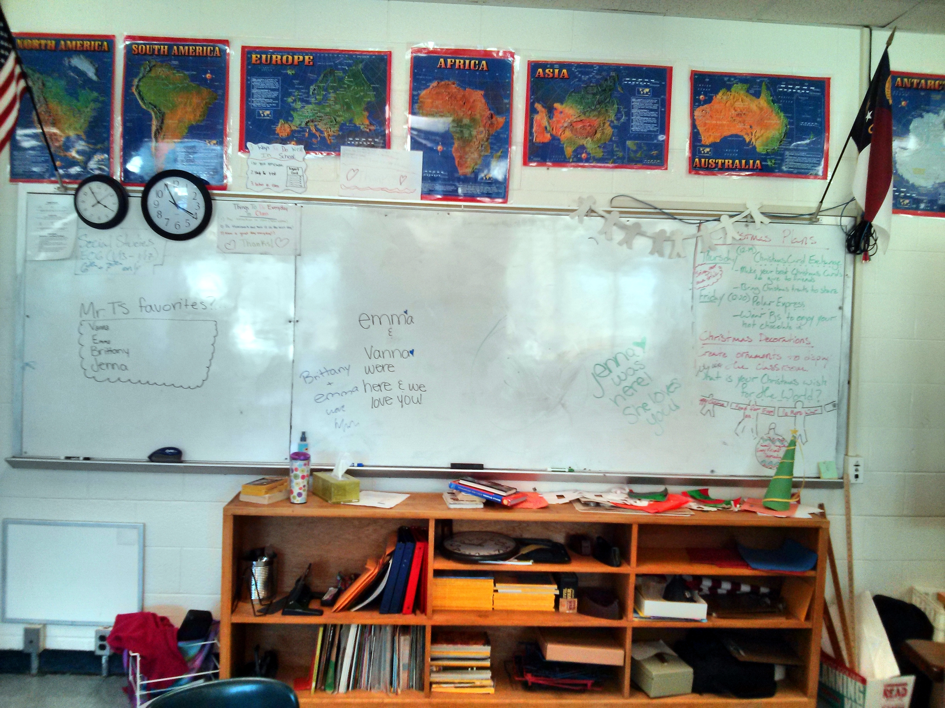
Classroom Messages - Pre Christmas
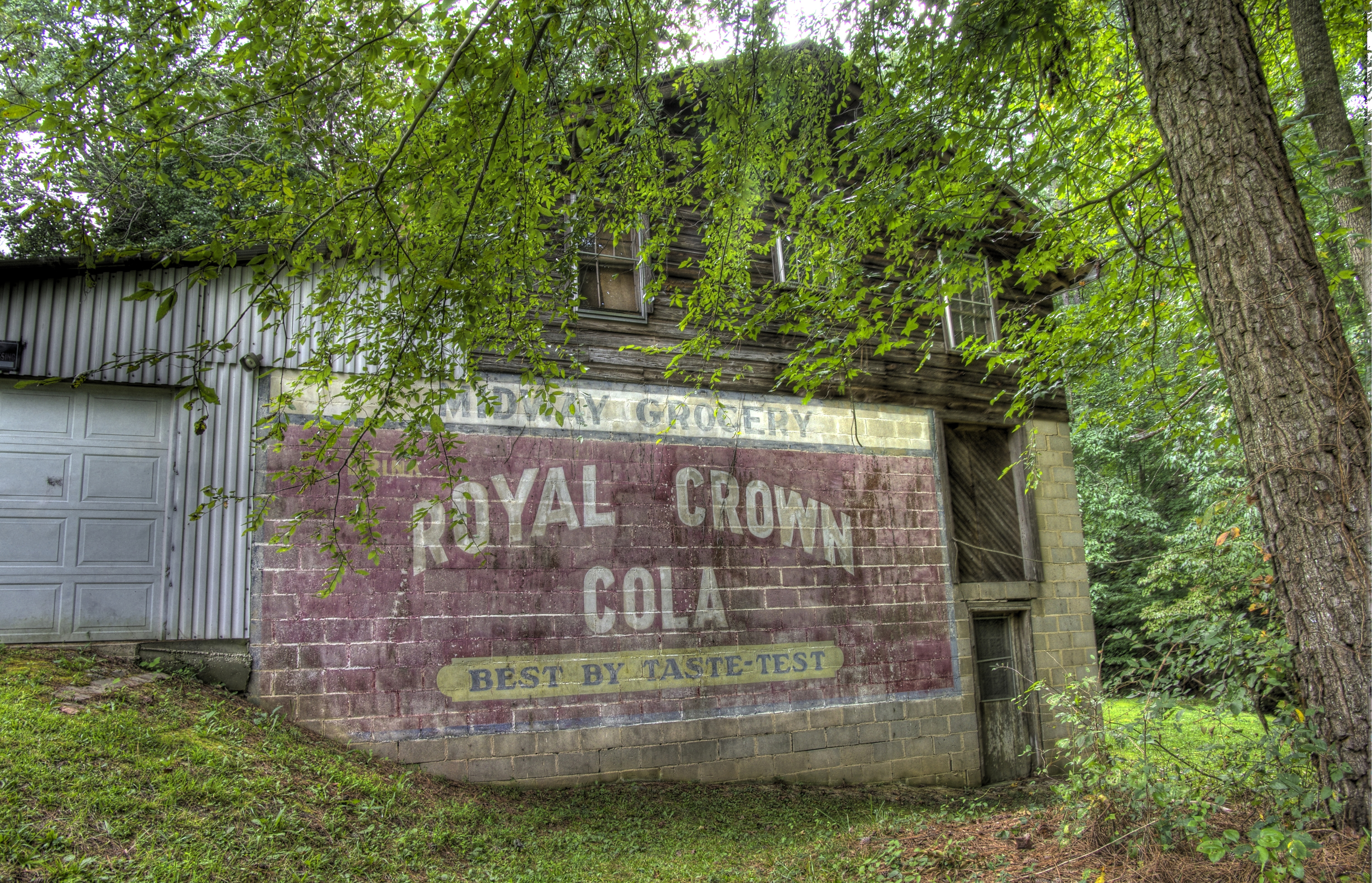
Midway Grocery: Royal Crown Cola
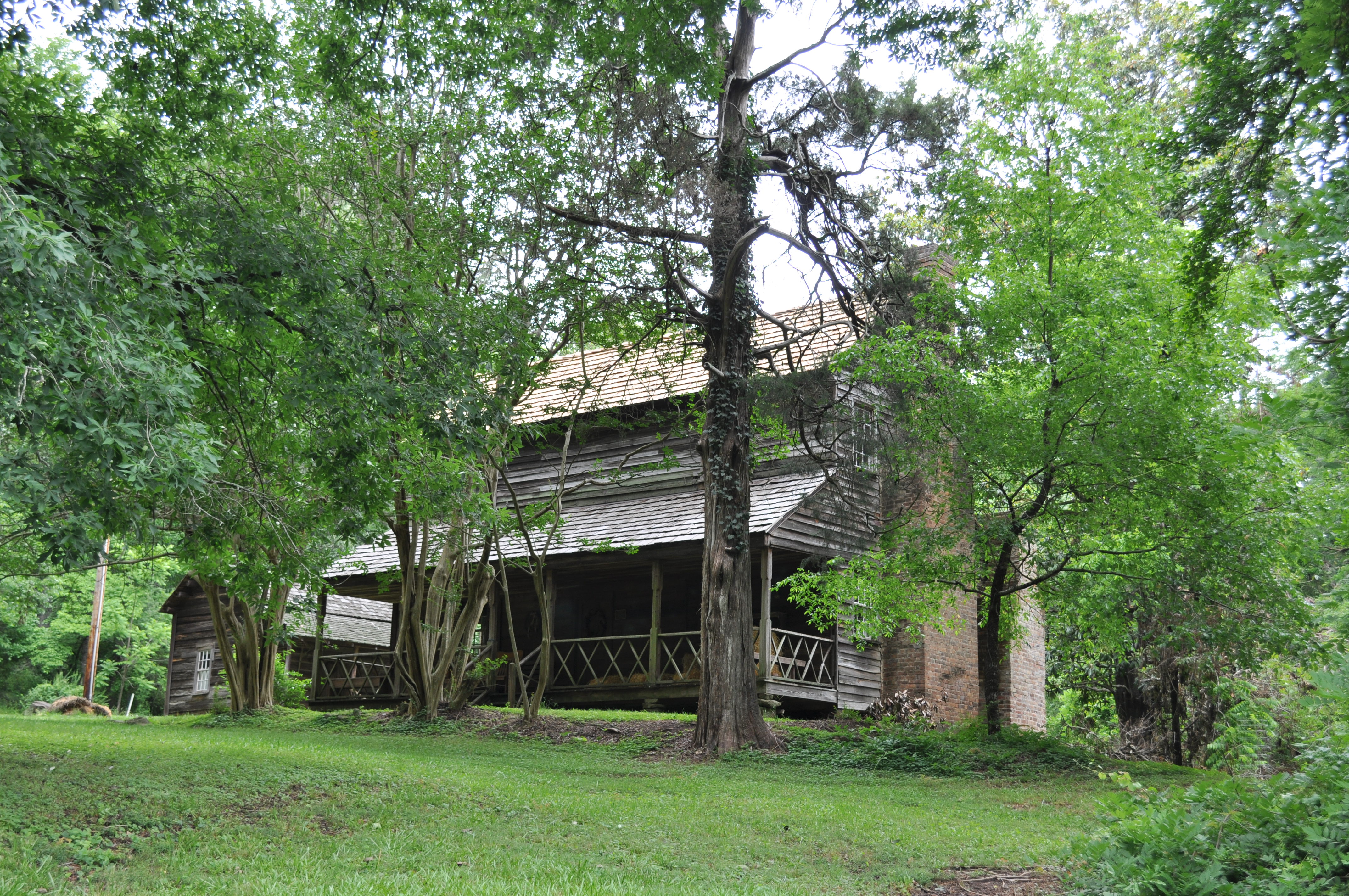
2785 Bryant House Img_20941
Train Schedule Board
Topographic Map of Emma Ln, Robbins, NC, USA
Find elevation by address:

Places near Emma Ln, Robbins, NC, USA:
203 S Middleton St
Robbins
129 Elcanie Rd
203 Smyrna Church Rd
NC-22, Robbins, NC, USA
2, Bensalem
High Falls
337 Boone Dr
3, Sheffield
4, Ritter
185 Charlie Garner Rd
Moore County
6790 Bennett Rd
772 Wilson Rd
111 Pleasant View Ln
113 Pleasant View Ln
115 Pleasant View Ln
178 Lost Trail Dr
Bennett
Seven Lakes
Recent Searches:
- Elevation of W Granada St, Tampa, FL, USA
- Elevation of Pykes Down, Ivybridge PL21 0BY, UK
- Elevation of Jalan Senandin, Lutong, Miri, Sarawak, Malaysia
- Elevation of Bilohirs'k
- Elevation of 30 Oak Lawn Dr, Barkhamsted, CT, USA
- Elevation of Luther Road, Luther Rd, Auburn, CA, USA
- Elevation of Unnamed Road, Respublika Severnaya Osetiya — Alaniya, Russia
- Elevation of Verkhny Fiagdon, North Ossetia–Alania Republic, Russia
- Elevation of F. Viola Hiway, San Rafael, Bulacan, Philippines
- Elevation of Herbage Dr, Gulfport, MS, USA