Elevation of High Falls, NC, USA
Location: United States > North Carolina > Moore County > 4, Ritter >
Longitude: -79.521691
Latitude: 35.483757
Elevation: 112m / 367feet
Barometric Pressure: 100KPa
Elevation Map:
Satellite Map:
Related Photos:

Still Waving

Not a Monet
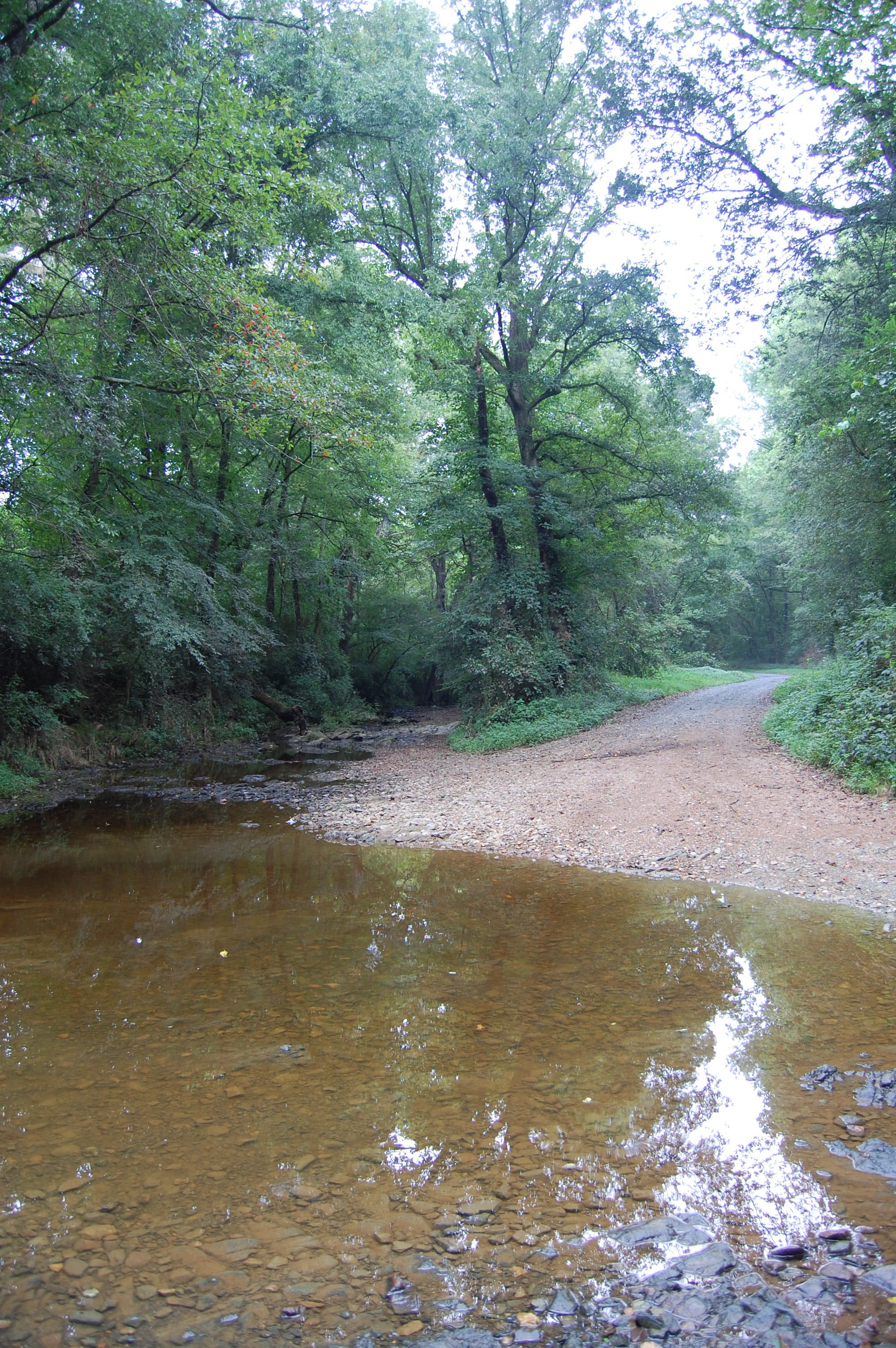
Flat Creek ford

Running With The Devil
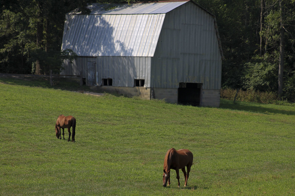
Grazing #1
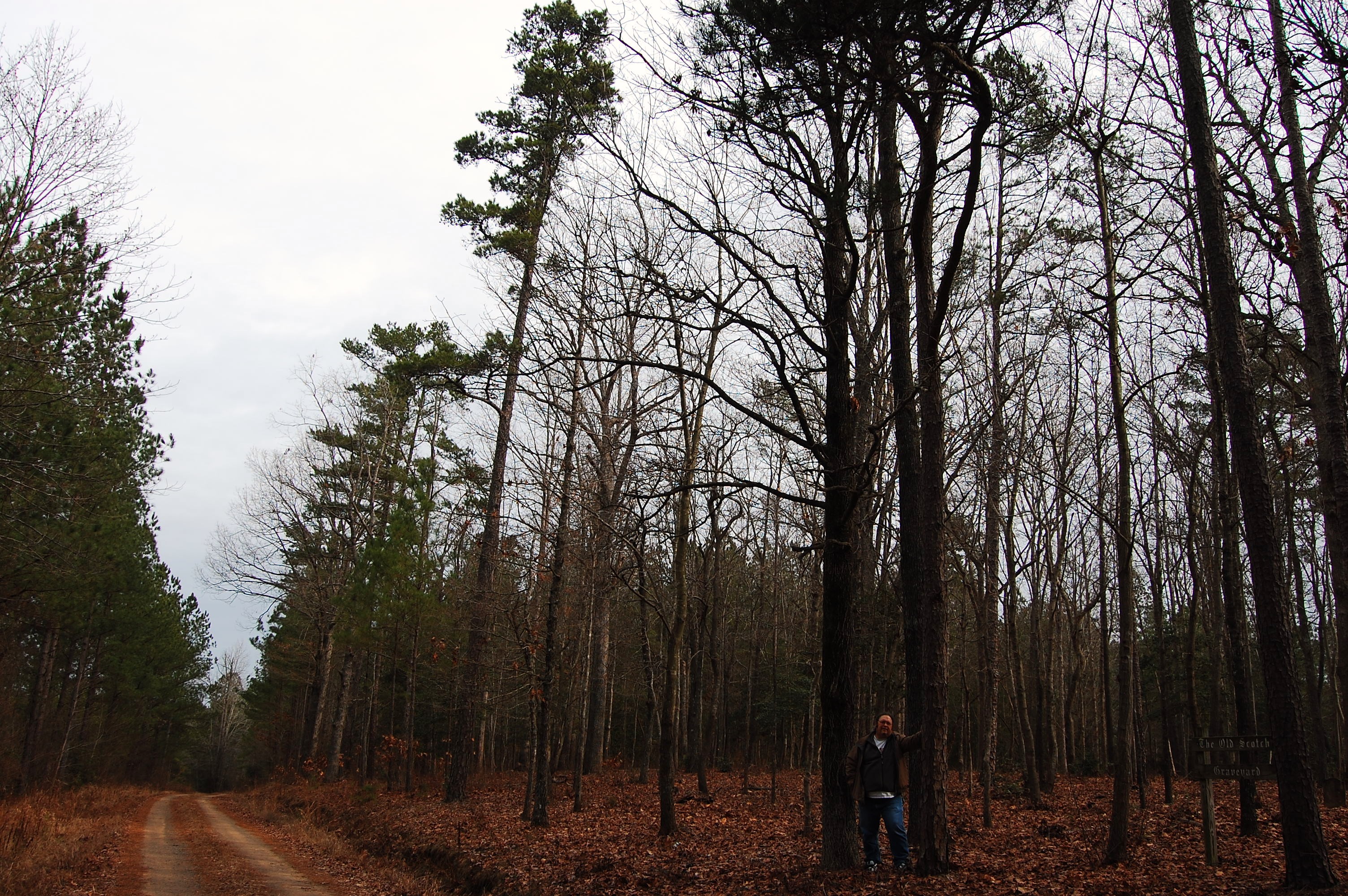
Old Scotch Burial Ground
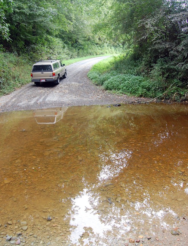
Flat Creek ford

Old Scotch Burial Ground
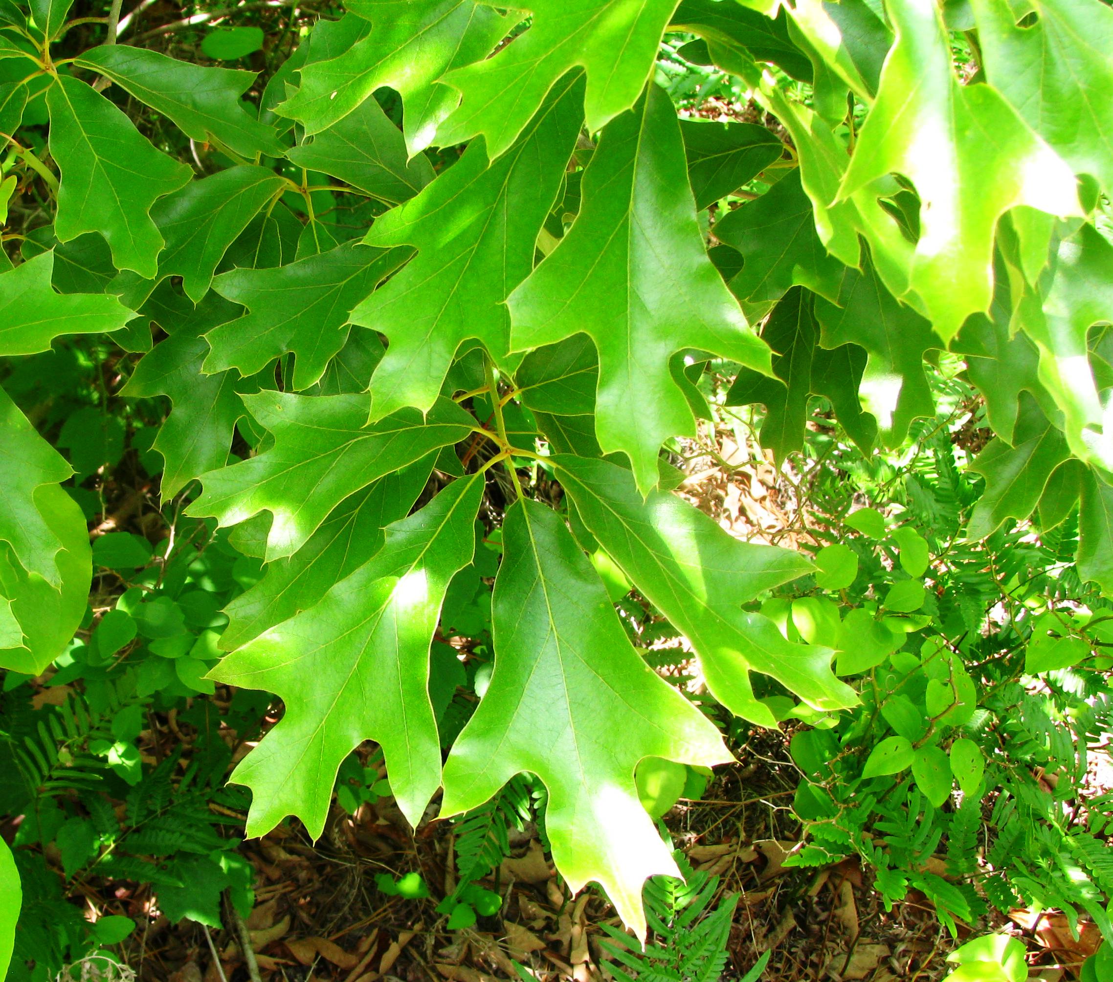
Quercus falcata
20150725-DSC_8200
20150725-DSC_8202
Topographic Map of High Falls, NC, USA
Find elevation by address:

Places near High Falls, NC, USA:
NC-22, Robbins, NC, USA
4, Ritter
185 Charlie Garner Rd
772 Wilson Rd
411 Emma Ln
Robbins
203 S Middleton St
Bennett
Bear Creek
203 Smyrna Church Rd
129 Elcanie Rd
Herring Path
6790 Bennett Rd
Moore County
Brush Creek Rd, Bennett, NC, USA
137 Clifftop Dr
1347 Vander Oldham Rd
3, Sheffield
925 Lakewood Falls Rd
1, Carthage
Recent Searches:
- Elevation of Kreuzburger Weg 13, Düsseldorf, Germany
- Elevation of Gateway Blvd SE, Canton, OH, USA
- Elevation of East W.T. Harris Boulevard, E W.T. Harris Blvd, Charlotte, NC, USA
- Elevation of West Sugar Creek, Charlotte, NC, USA
- Elevation of Wayland, NY, USA
- Elevation of Steadfast Ct, Daphne, AL, USA
- Elevation of Lagasgasan, X+CQH, Tiaong, Quezon, Philippines
- Elevation of Rojo Ct, Atascadero, CA, USA
- Elevation of Flagstaff Drive, Flagstaff Dr, North Carolina, USA
- Elevation of Avery Ln, Lakeland, FL, USA