Elevation of Willow Creek Mountain, California, USA
Location: United States > California > Montague >
Longitude: -122.23945
Latitude: 41.8159793
Elevation: 2334m / 7657feet
Barometric Pressure: 76KPa
Elevation Map:
Satellite Map:
Related Photos:
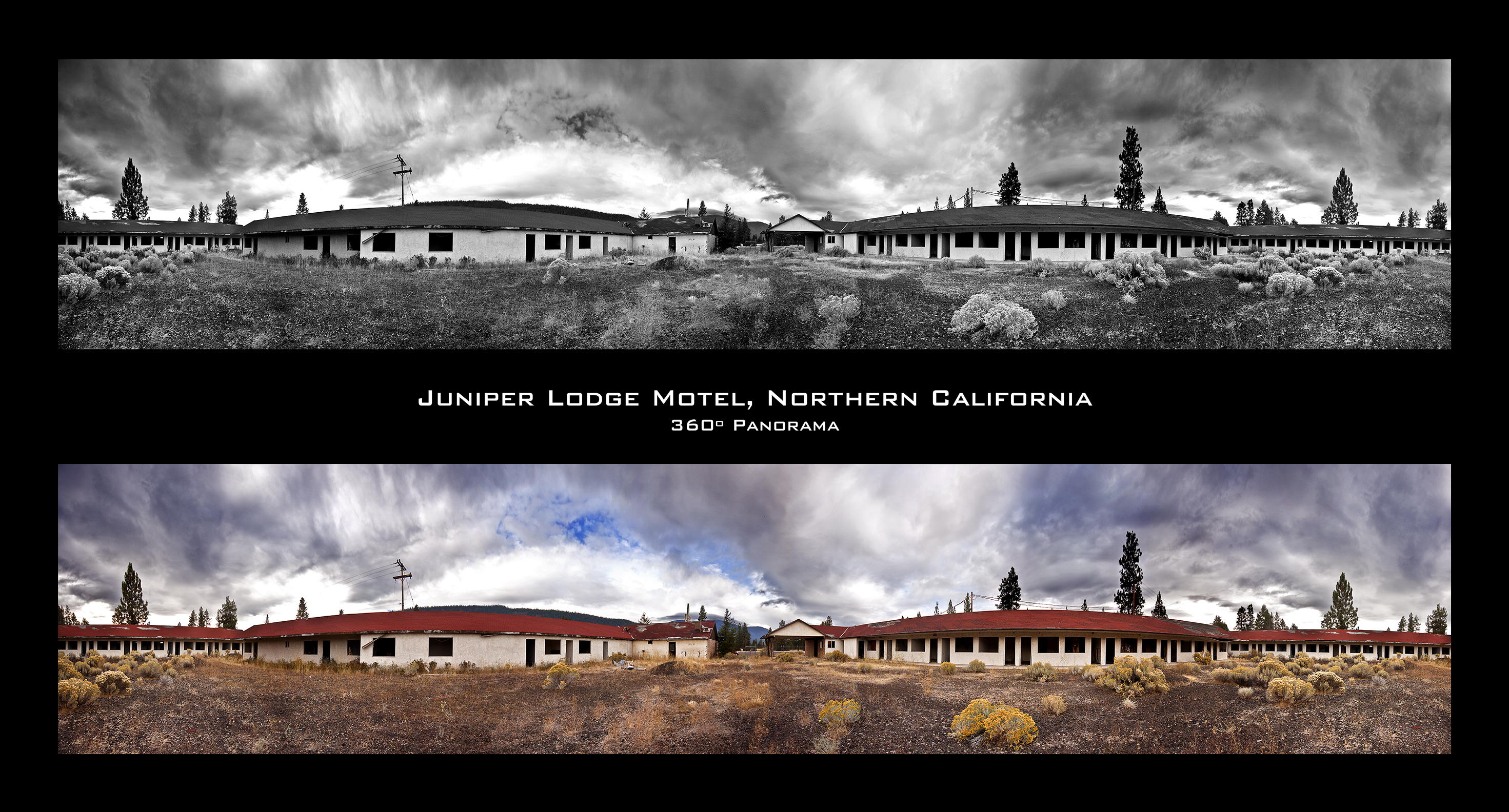
Juniper Lodge 385º Panorama

Presenting the Higher-Resolution, Updated Winner of the "BW or Color?" Contest!

Mt Shasta, N Little Shasta Valley
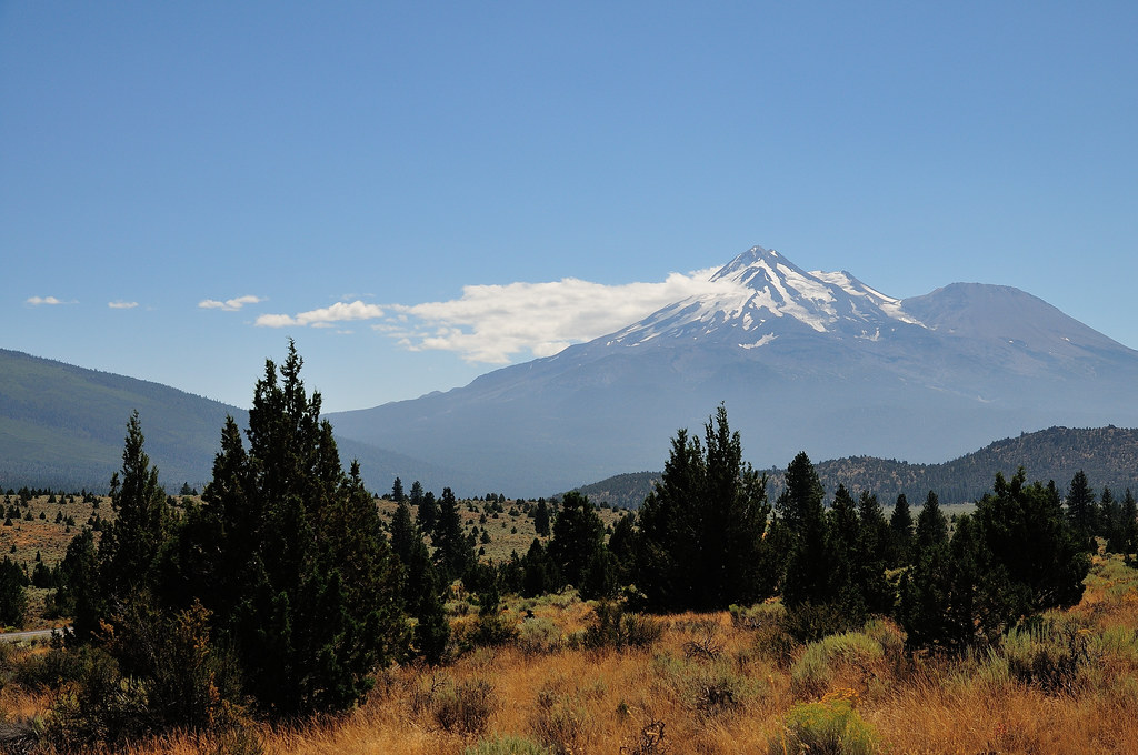
Mt. Shasta
gps tagged

upper Little Shasta Valley, CA
willow creek mountain gps coordinates
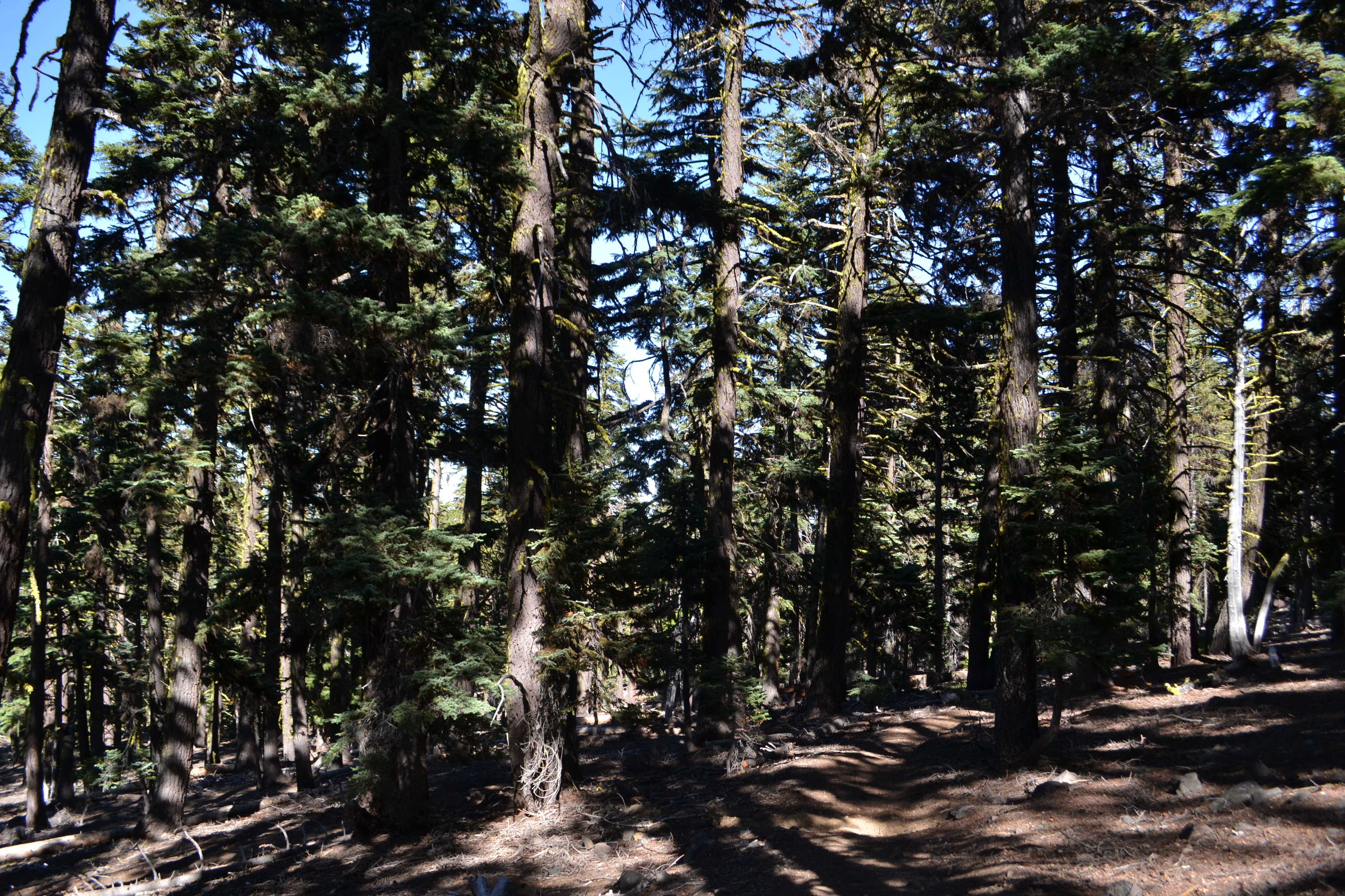
Red Fir Forest (Abies magnifica var. shastensis) On Goosenest...

Old barn, Upper Little Shasta Road

20131105-111331.jpg
Topographic Map of Willow Creek Mountain, California, USA
Find elevation by address:

Places near Willow Creek Mountain, California, USA:
Goosenest
Grass Lake
5520 Andrews Rd
5638 Rocky Ridge Rd
Macdoel
Old State Hwy, Macdoel, CA, USA
King Ave, Macdoel, CA, USA
3330 Sheep Mountain Rd
Butte Creek
The Whaleback
8915 Juniper Valley Dr
Dorris
Inconstance Creek
Hamaker Mountain
Tennant Rd, Macdoel, CA, USA
Shastina
Mt. Shasta Wilderness
Mount Shasta
Ash Creek Butte
13615 Shamrock Ln
Recent Searches:
- Elevation of Corso Fratelli Cairoli, 35, Macerata MC, Italy
- Elevation of Tallevast Rd, Sarasota, FL, USA
- Elevation of 4th St E, Sonoma, CA, USA
- Elevation of Black Hollow Rd, Pennsdale, PA, USA
- Elevation of Oakland Ave, Williamsport, PA, USA
- Elevation of Pedrógão Grande, Portugal
- Elevation of Klee Dr, Martinsburg, WV, USA
- Elevation of Via Roma, Pieranica CR, Italy
- Elevation of Tavkvetili Mountain, Georgia
- Elevation of Hartfords Bluff Cir, Mt Pleasant, SC, USA