Elevation of The Whaleback, California, USA
Location: United States > California > Siskiyou County >
Longitude: -122.14056
Latitude: 41.528208
Elevation: 2595m / 8514feet
Barometric Pressure: 74KPa
Elevation Map:
Satellite Map:
Related Photos:
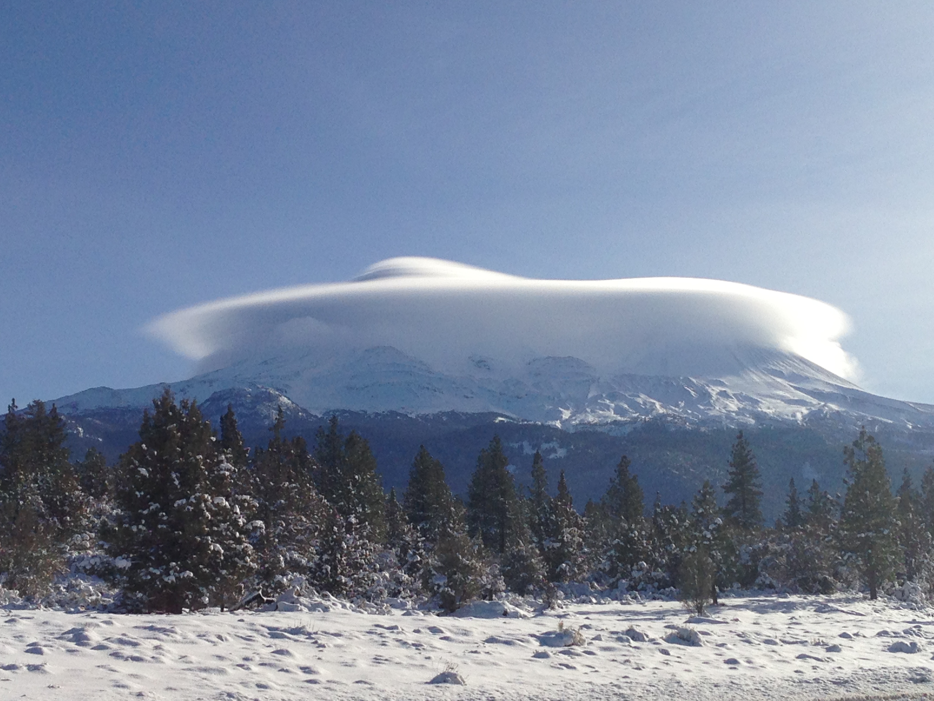
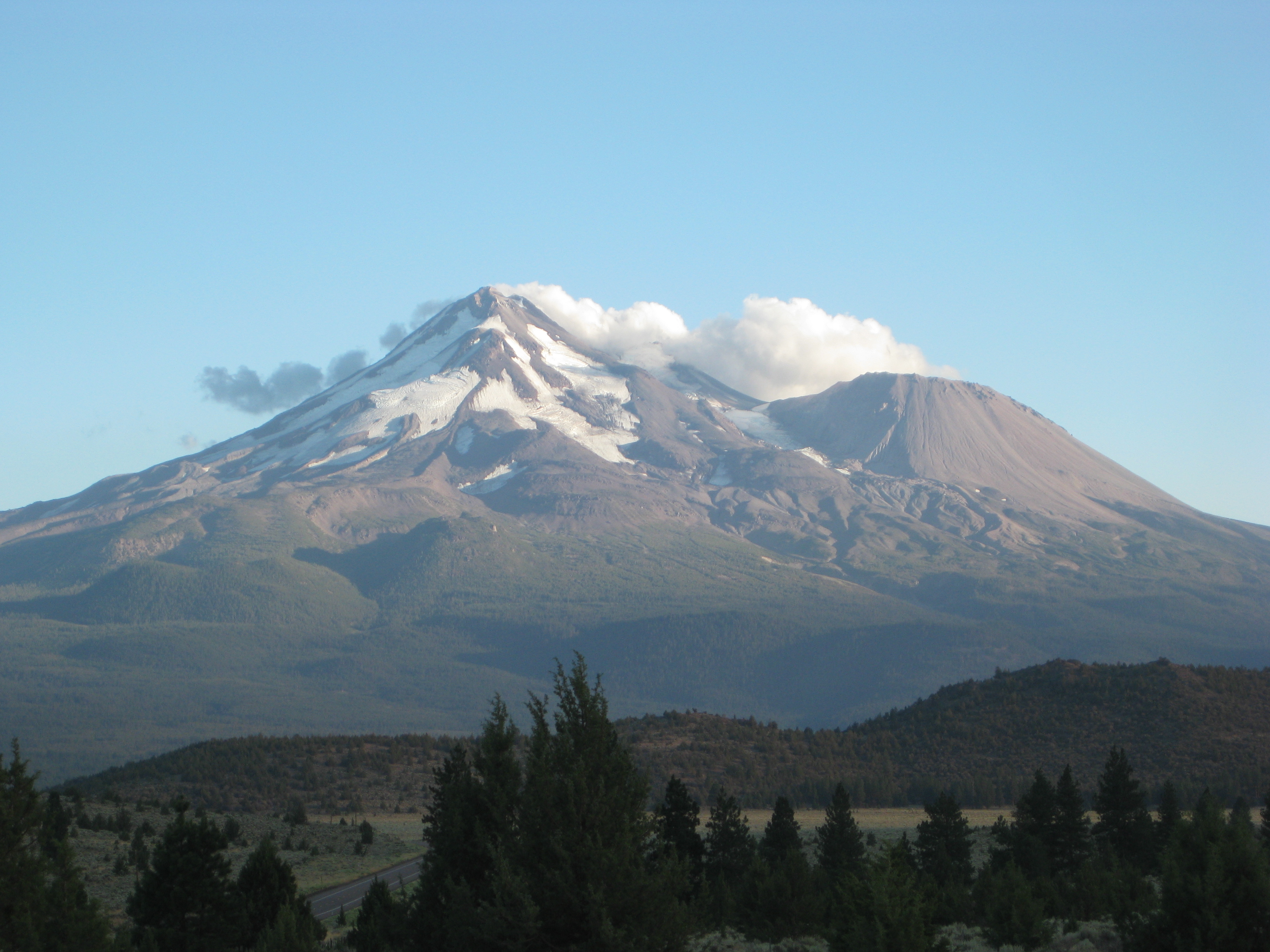
Cloud Hovering Over Mount Shasta, by Gerry Ramos

Crop Circles
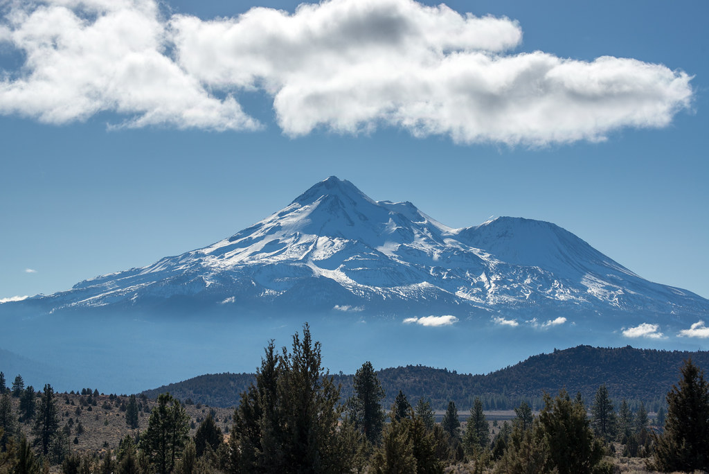
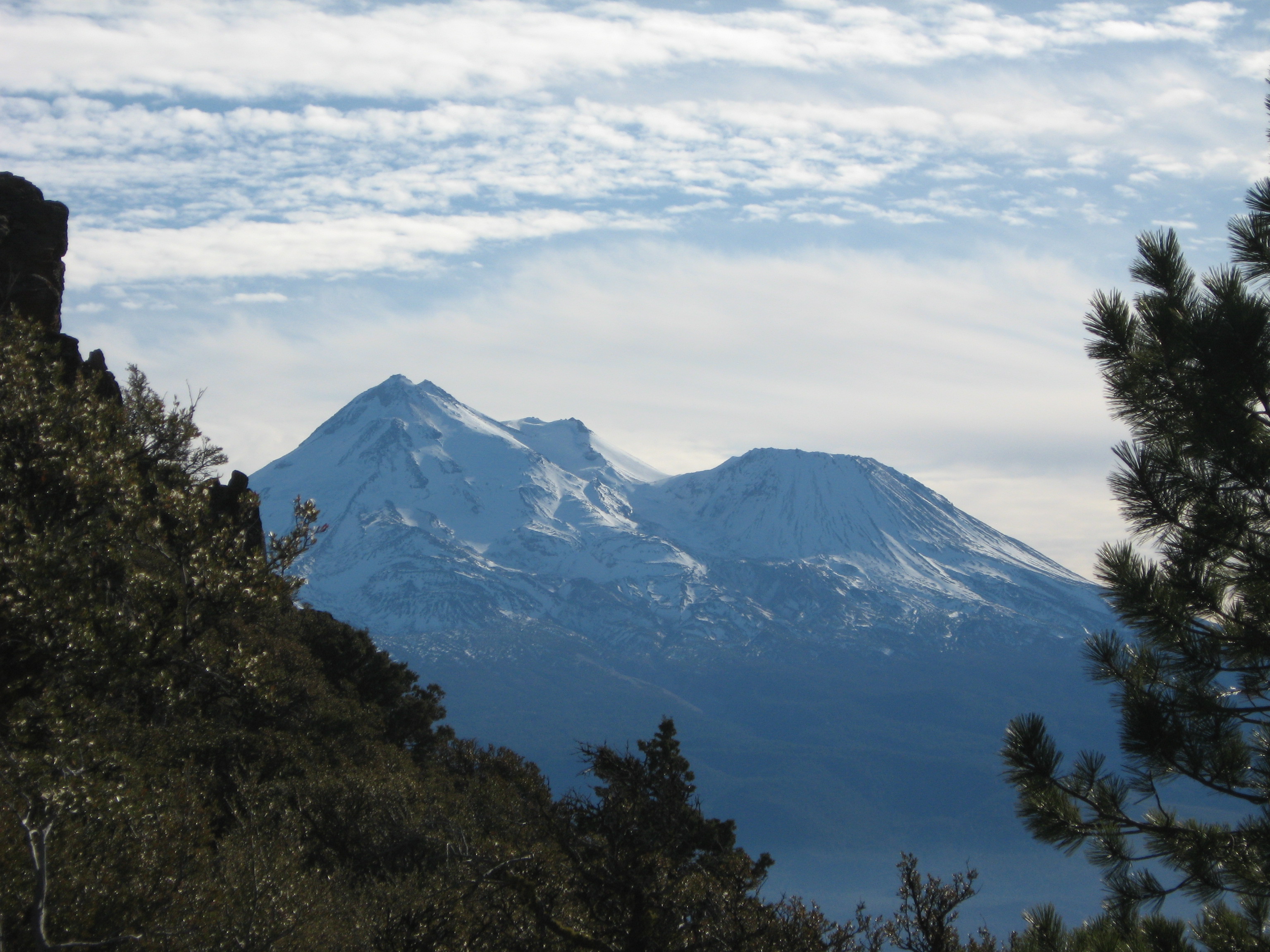
The Majestic, Blue, Snow-Capped Mt. Shasta, California, USA
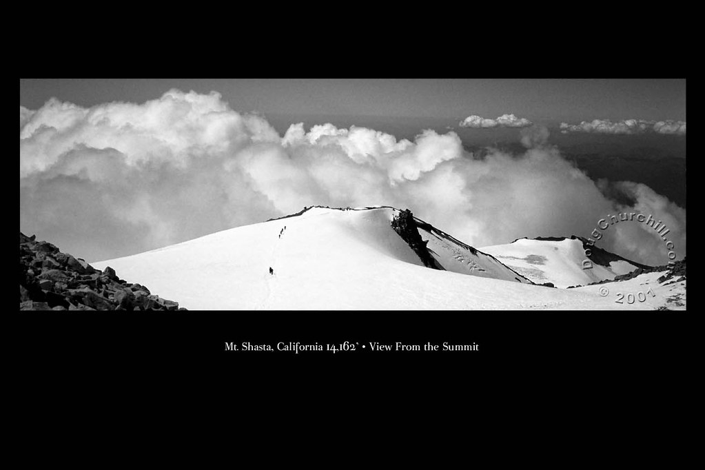
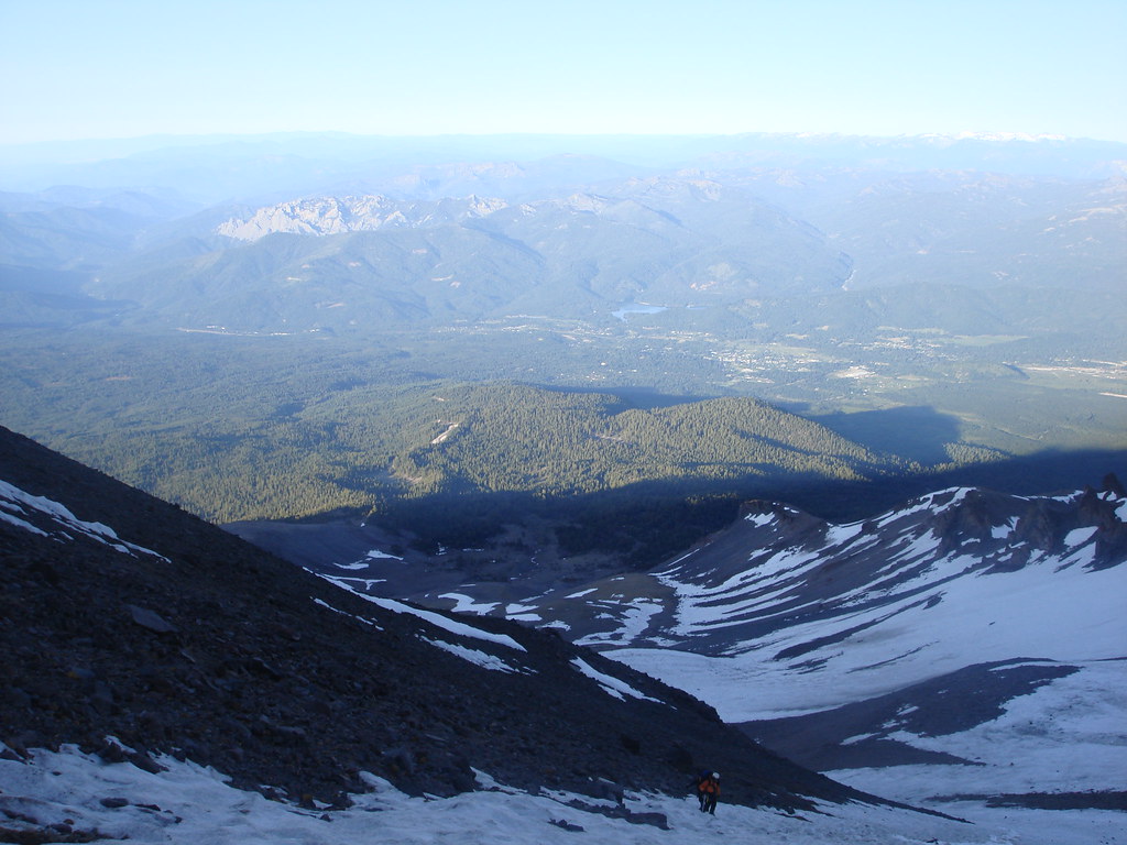
Mt Shasta "View From the Summit"
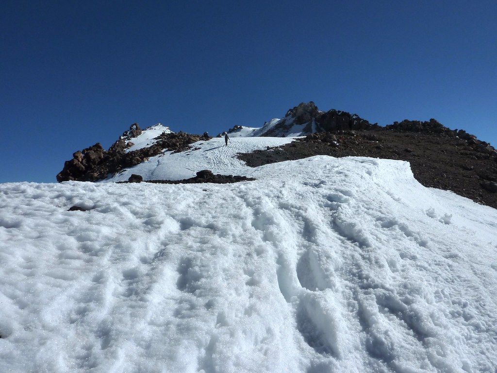
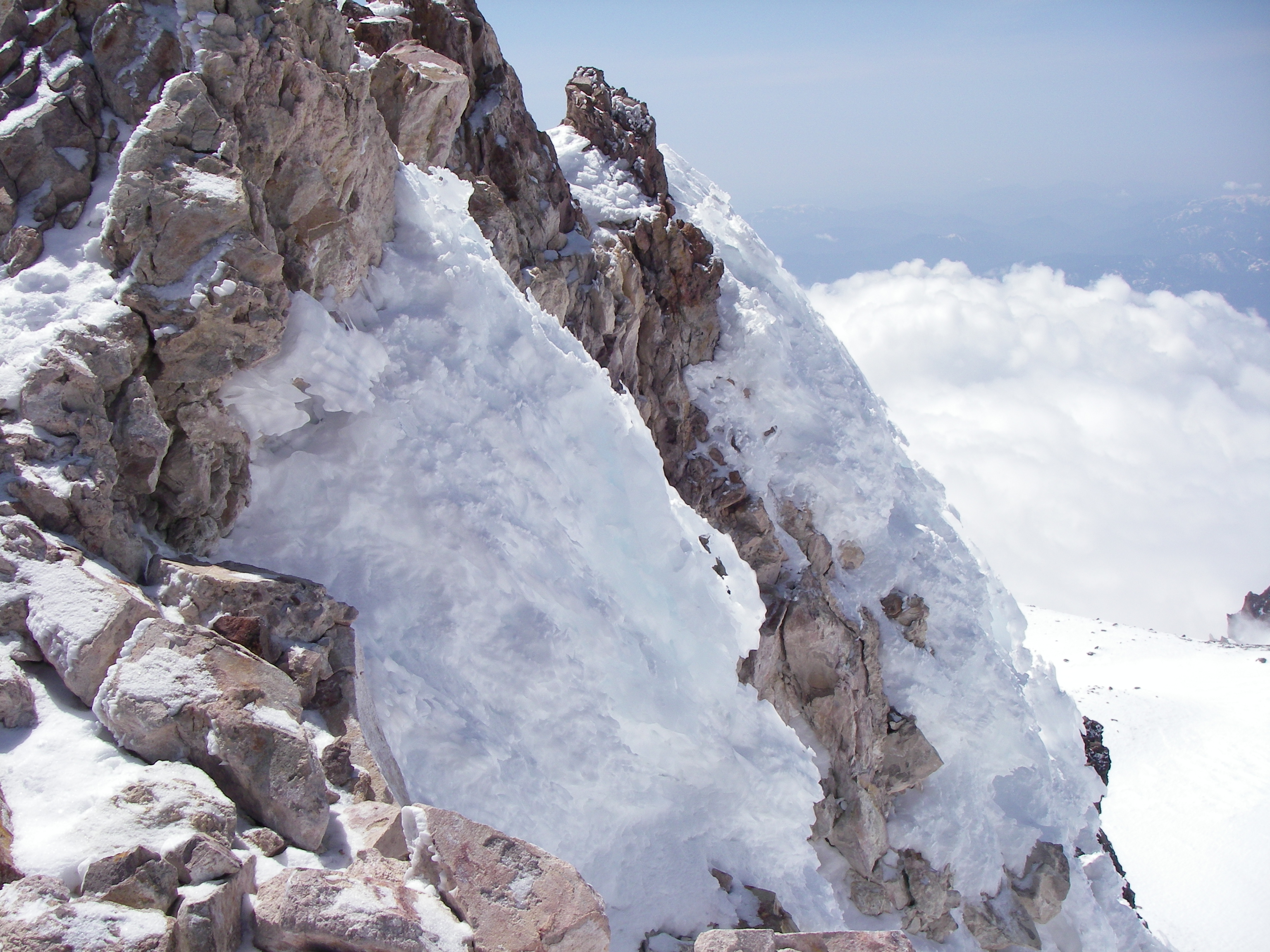
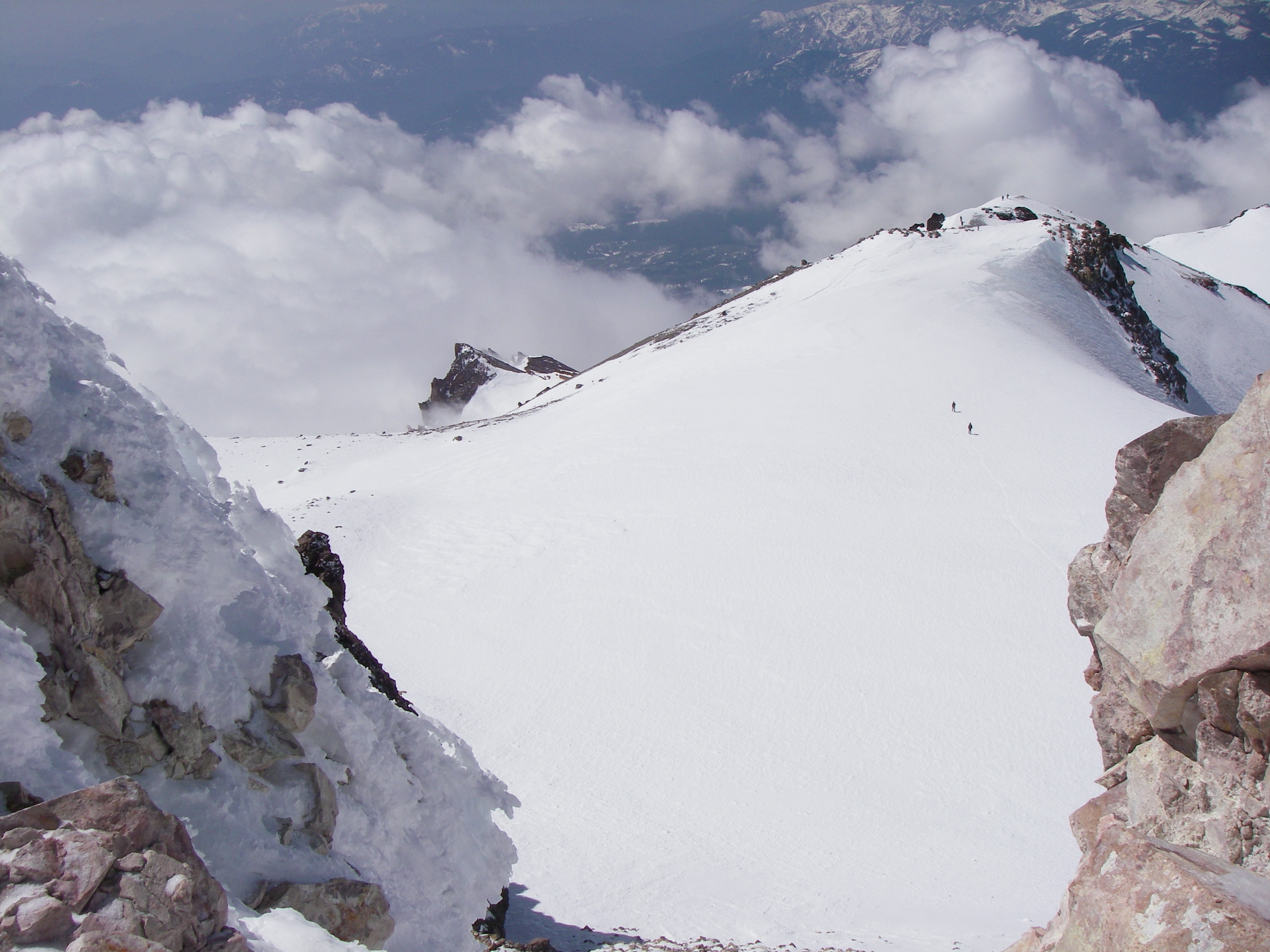
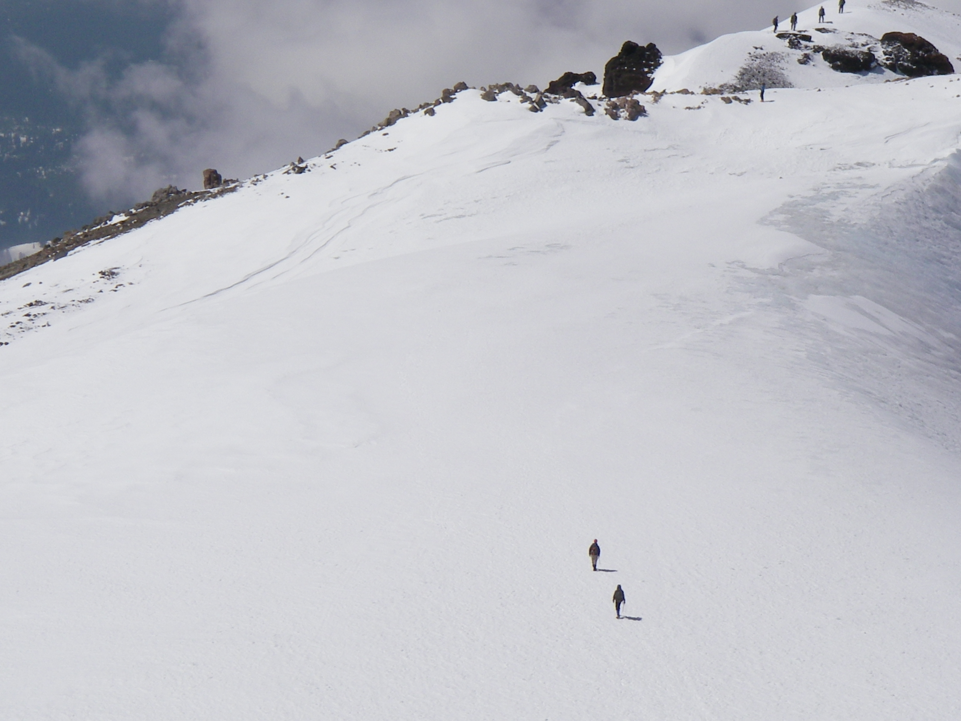
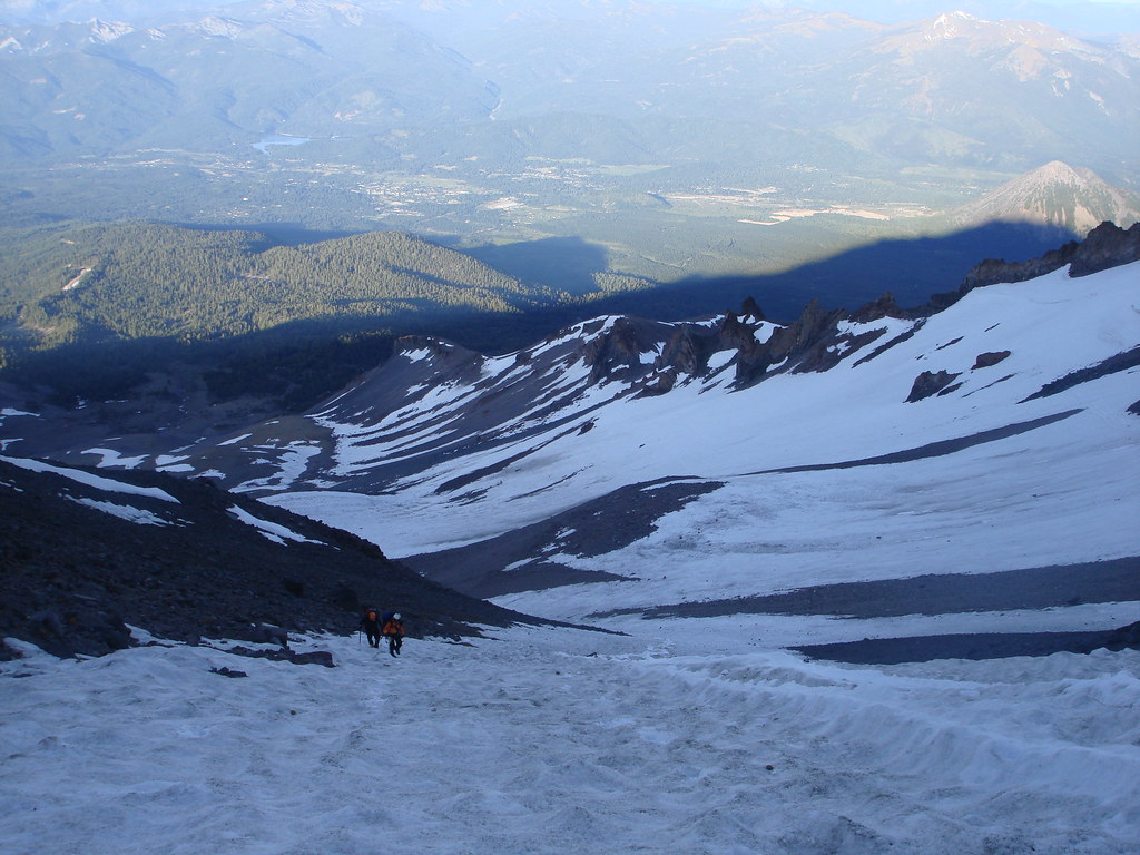
On Misery Hill
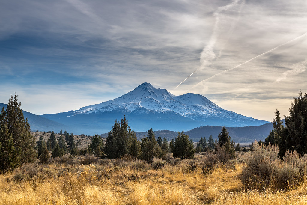
The Majestic, Blue, Snow-Capped Mt. Shasta, California, USA
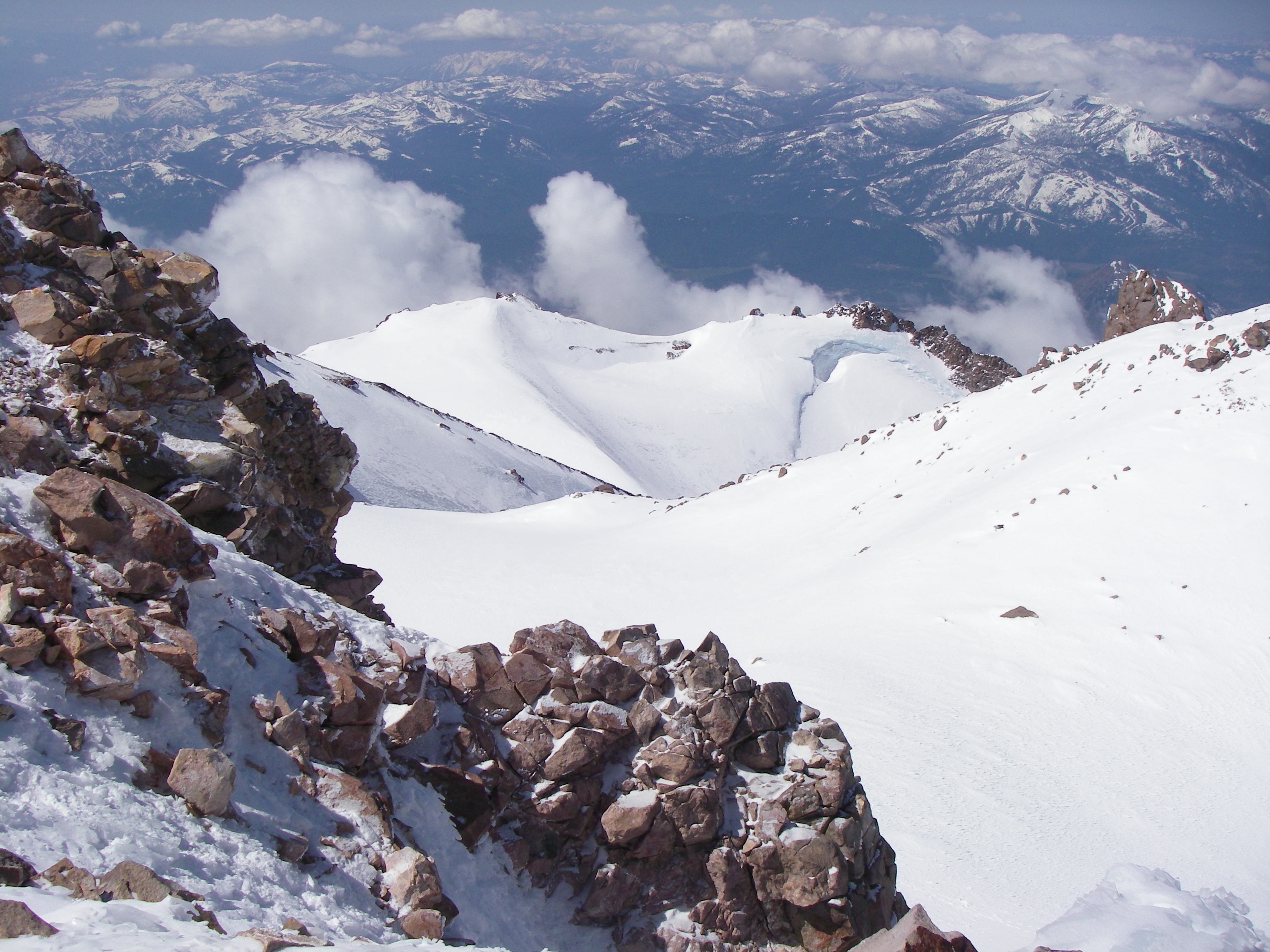
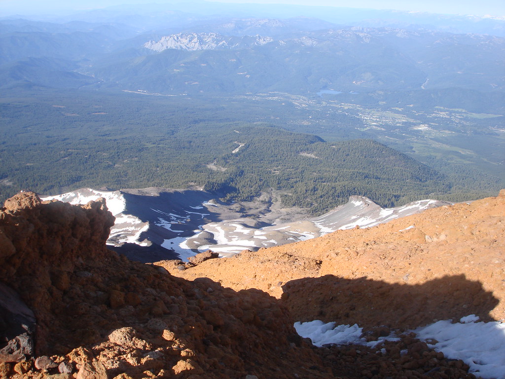
View from the Summit 6, 11:00AM
View from the Summit 5, 11:00AM

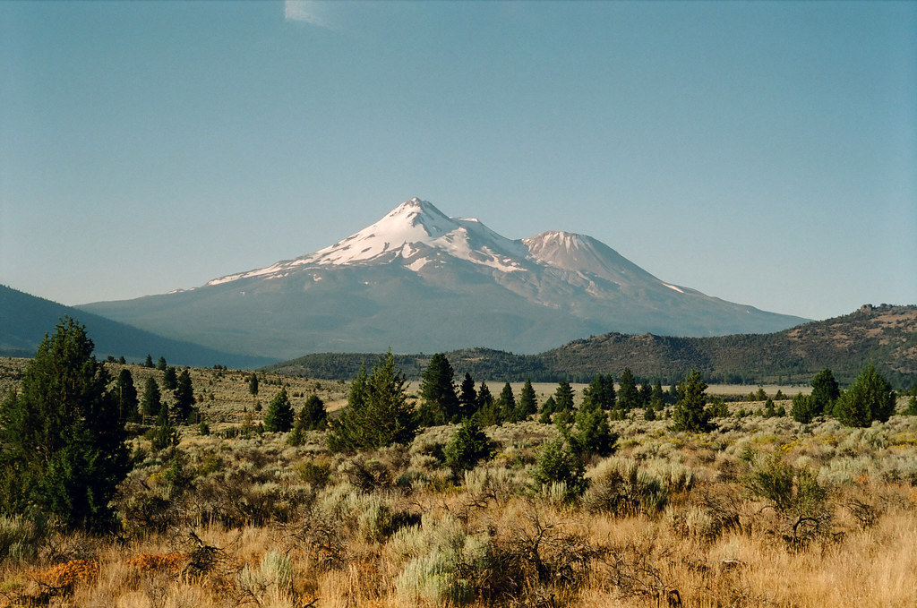
Mt. Shasta from Grass Lake, California, USA
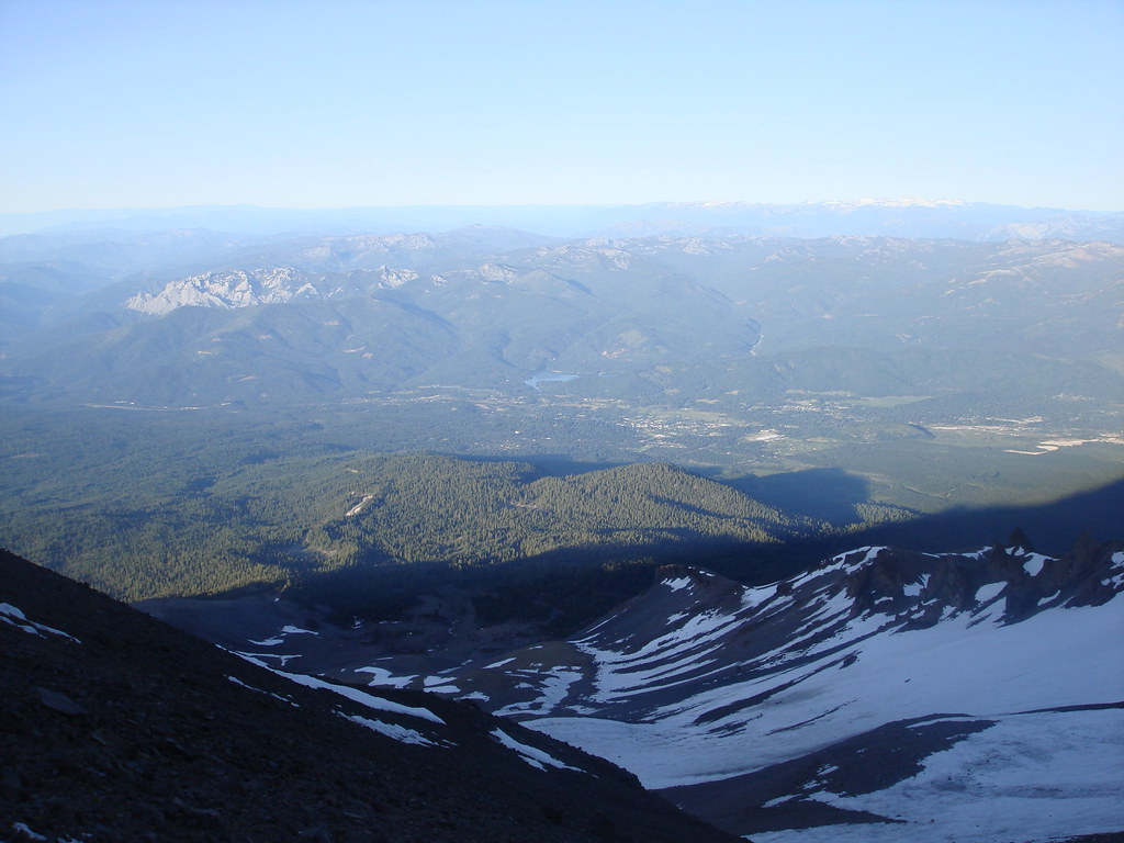
Morning View 3
Red Bluffs
Red Bluffs
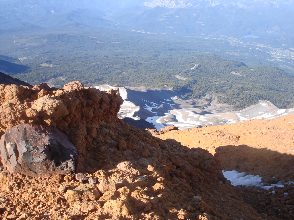
View from the Summit 7, 11:00AM
View from the Summit 1, 11:00AM
Morning View
Mt. Shasta
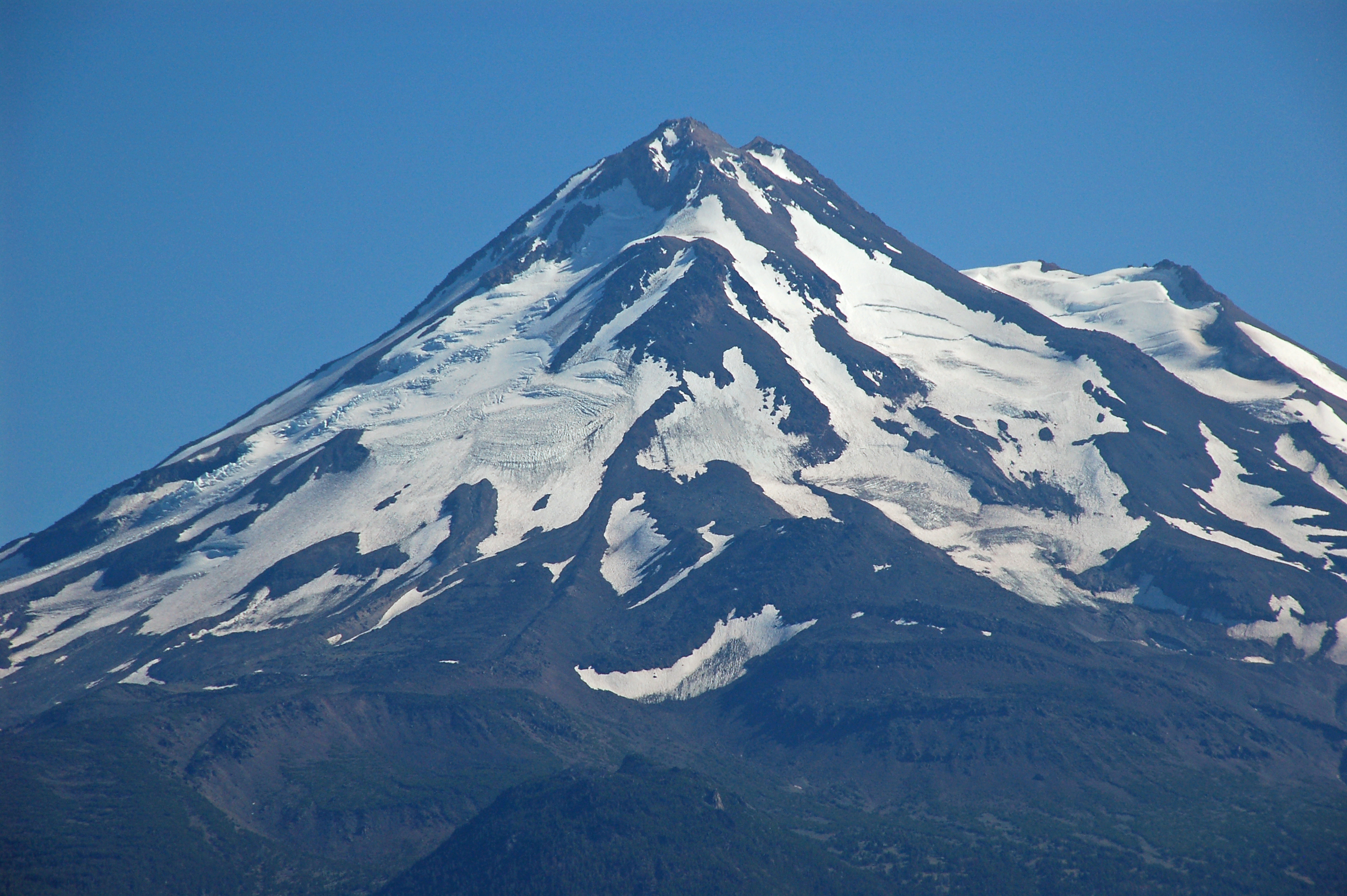
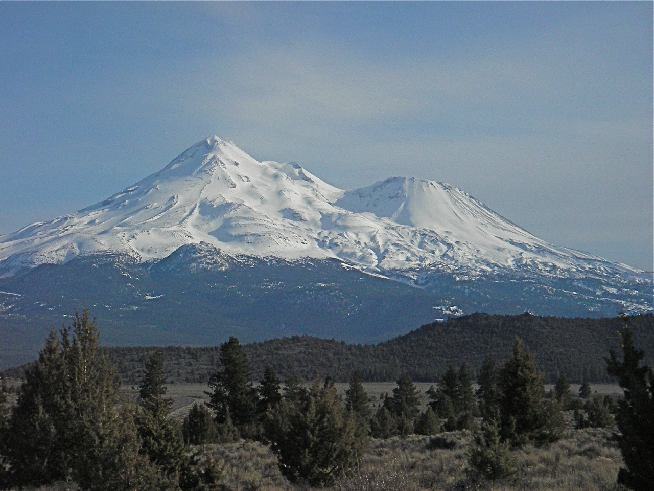
Mount Shasta
Morning View 2
Mount Shasta - View
a2000-08-04
MtShasta2009.04
Topographic Map of The Whaleback, California, USA
Find elevation by address:

Places near The Whaleback, California, USA:
Inconstance Creek
Grass Lake
Ash Creek Butte
Mount Shasta
Mt. Shasta Wilderness
Butte Creek
Shastina
8915 Juniper Valley Dr
Shelly Court
Shasta Circle
Silverthorn Court
Goosenest
Ravine Court
Snowline Circle
Crater Way
Tennant Rd, Macdoel, CA, USA
2525 Mccloud Ave
2525 Mccloud Ave
709 Carmen Dr
401 Birch St
Recent Searches:
- Elevation of Corso Fratelli Cairoli, 35, Macerata MC, Italy
- Elevation of Tallevast Rd, Sarasota, FL, USA
- Elevation of 4th St E, Sonoma, CA, USA
- Elevation of Black Hollow Rd, Pennsdale, PA, USA
- Elevation of Oakland Ave, Williamsport, PA, USA
- Elevation of Pedrógão Grande, Portugal
- Elevation of Klee Dr, Martinsburg, WV, USA
- Elevation of Via Roma, Pieranica CR, Italy
- Elevation of Tavkvetili Mountain, Georgia
- Elevation of Hartfords Bluff Cir, Mt Pleasant, SC, USA