Elevation of Inconstance Creek, California, USA
Location: United States > California > Siskiyou County >
Longitude: -122.11084
Latitude: 41.4837647
Elevation: 1803m / 5915feet
Barometric Pressure: 81KPa
Elevation Map:
Satellite Map:
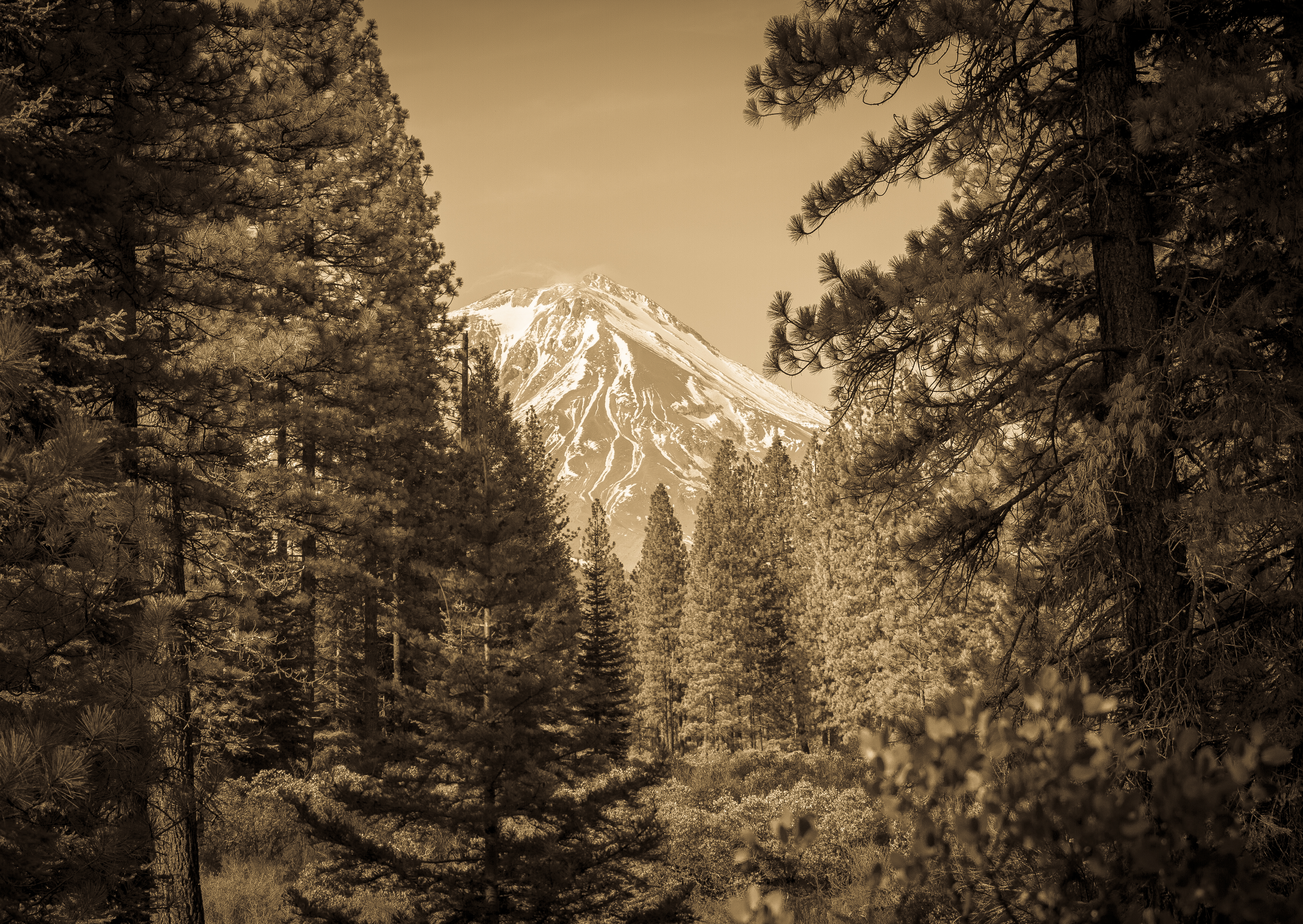
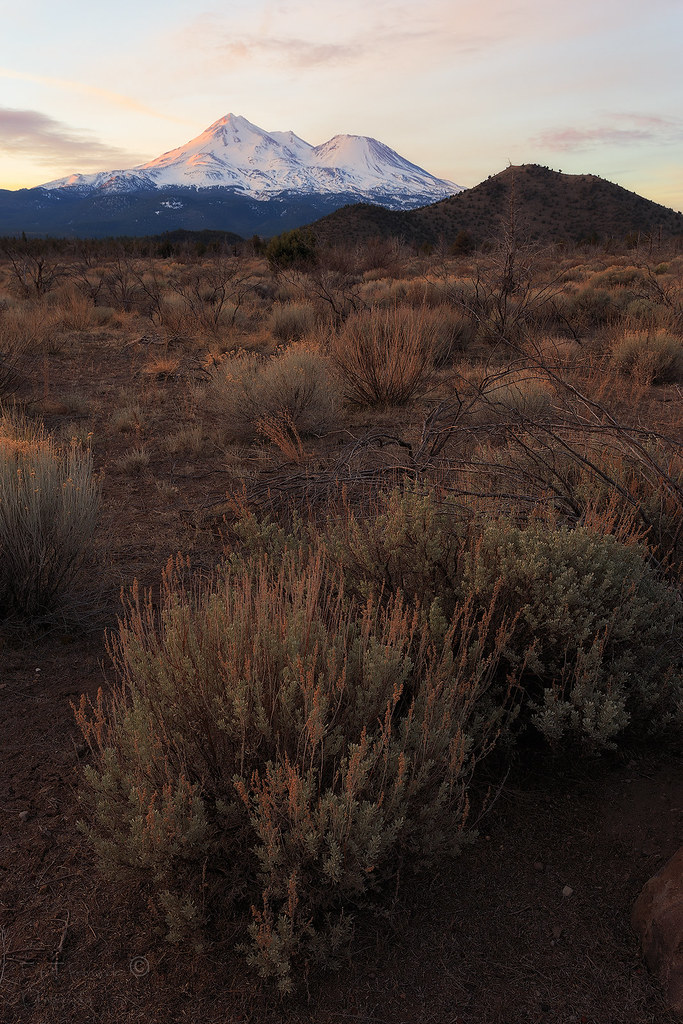
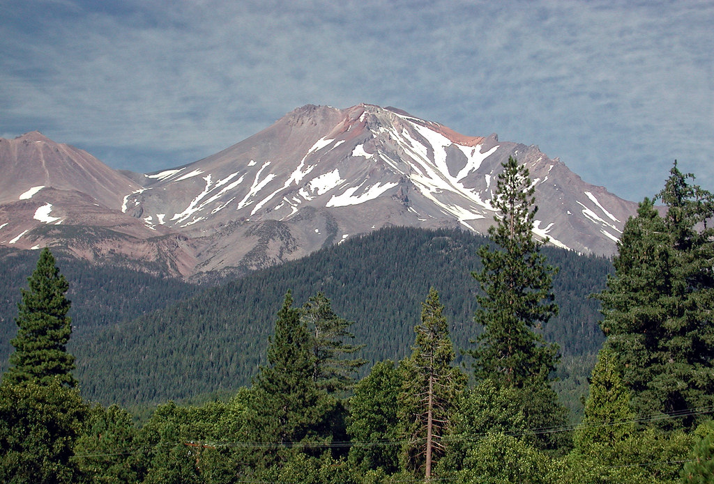
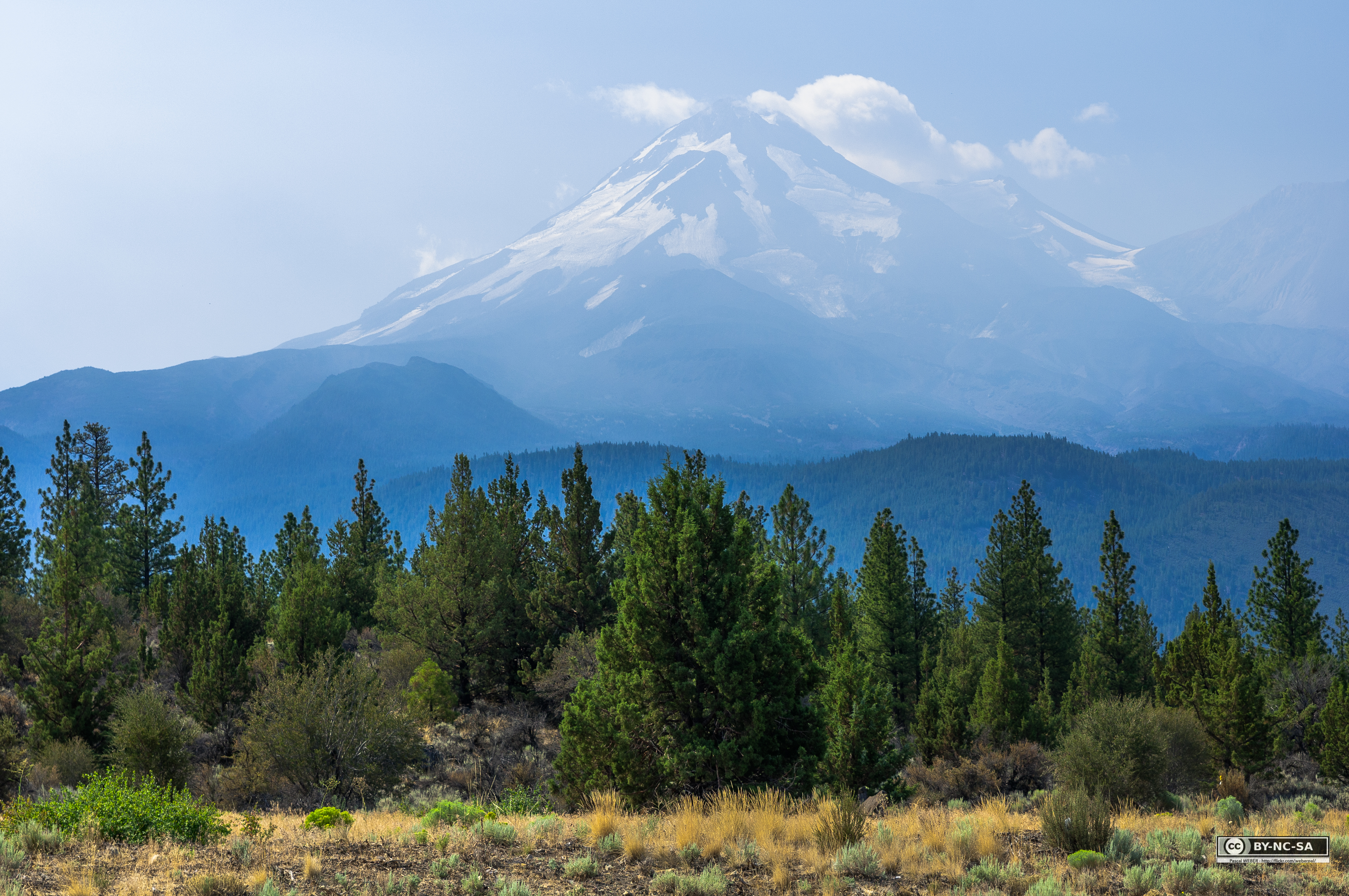
Related Photos:
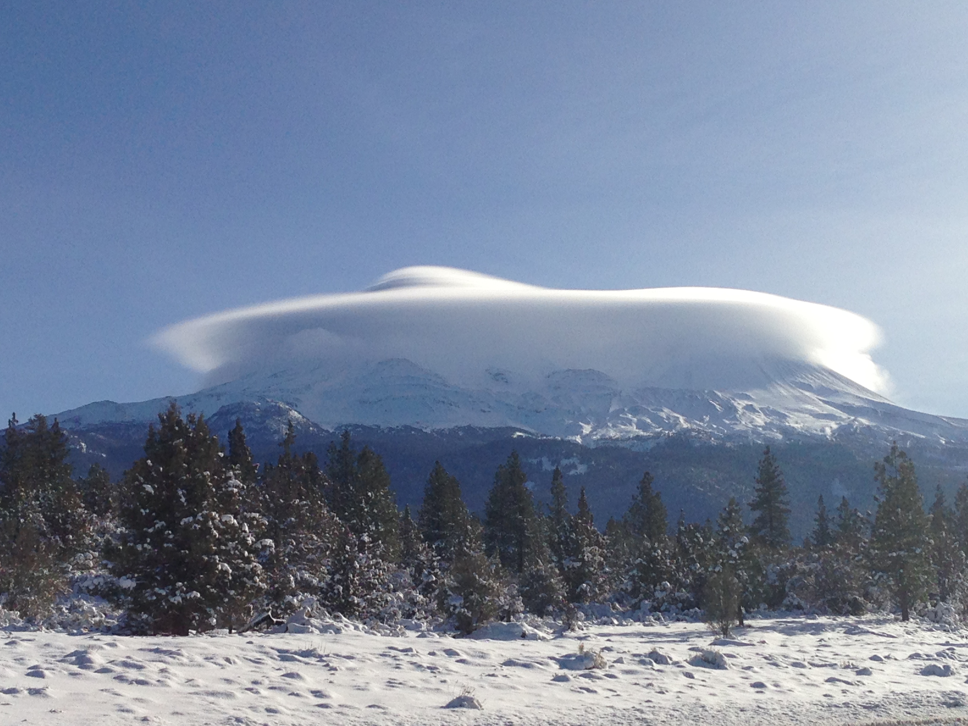
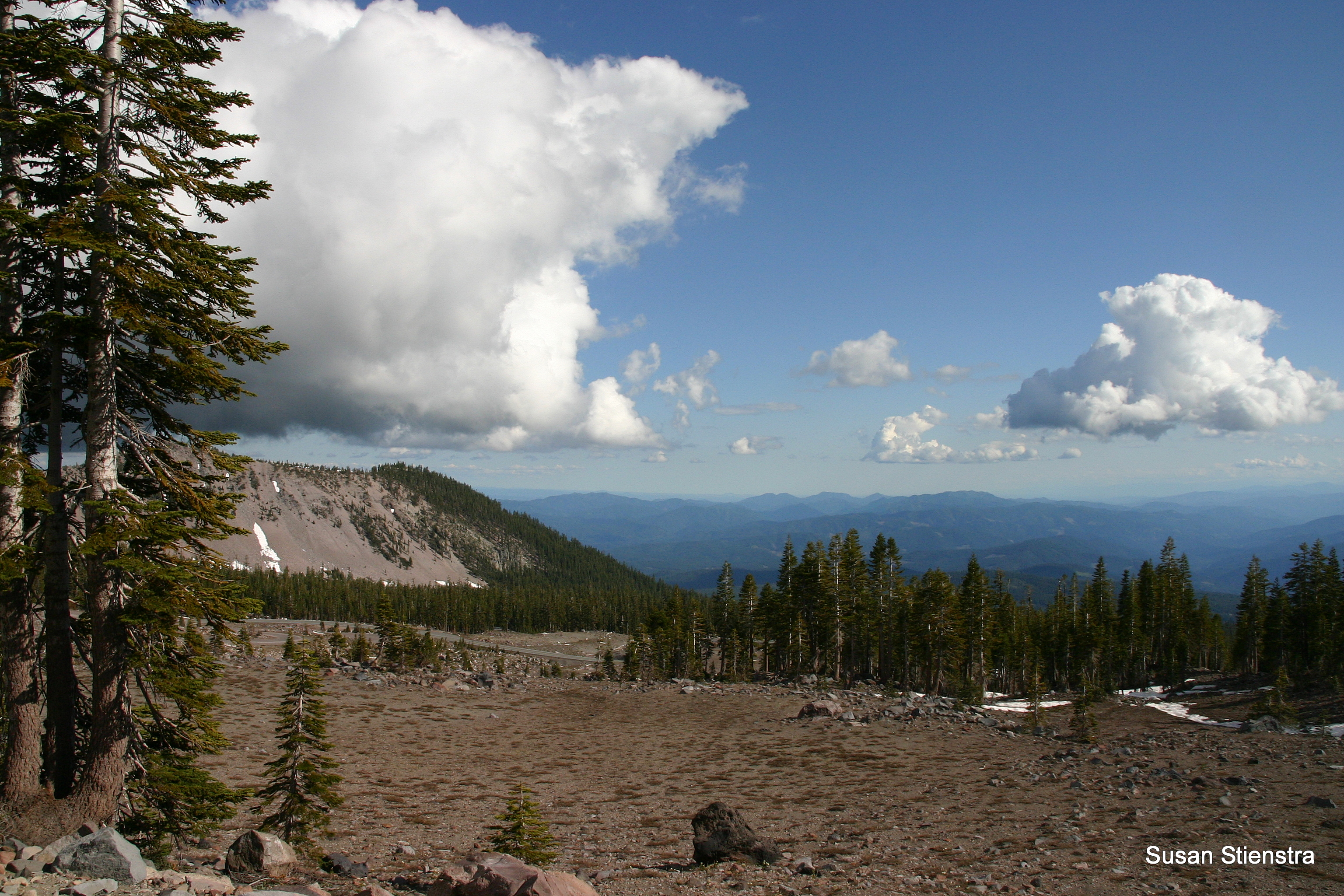
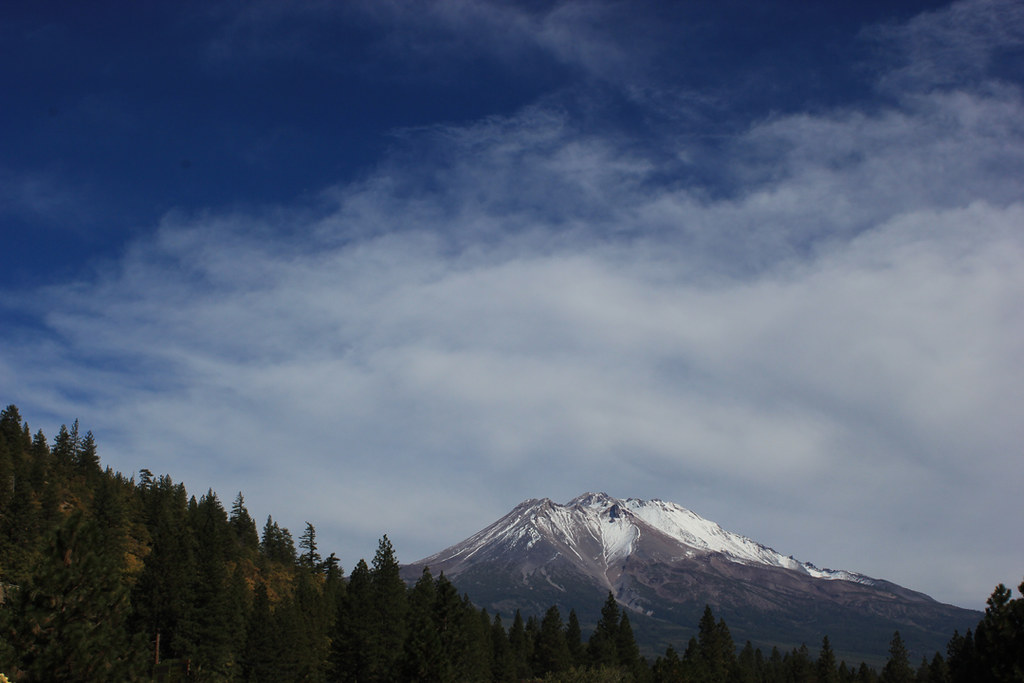
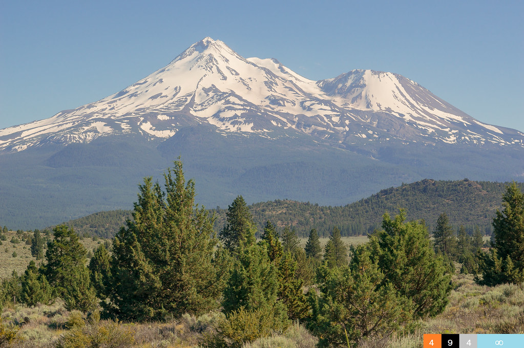
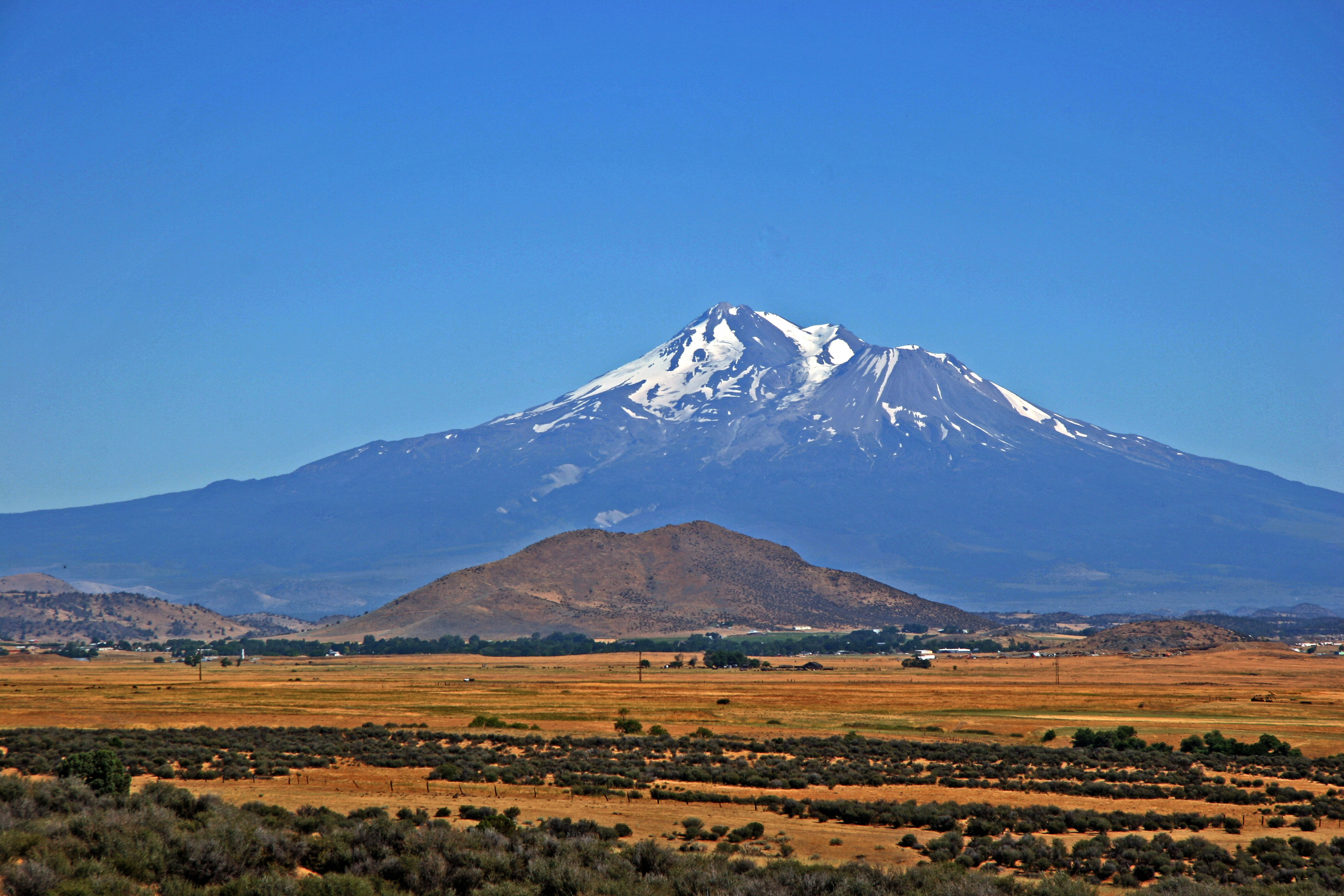
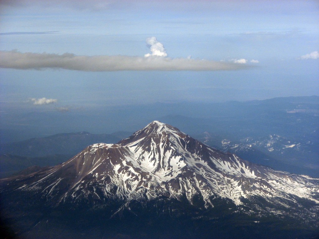
Cloud Hovering Over Mount Shasta, by Gerry Ramos

When the sun is shining I can do anything; no mountain is too high, no trouble too difficult to overcome...
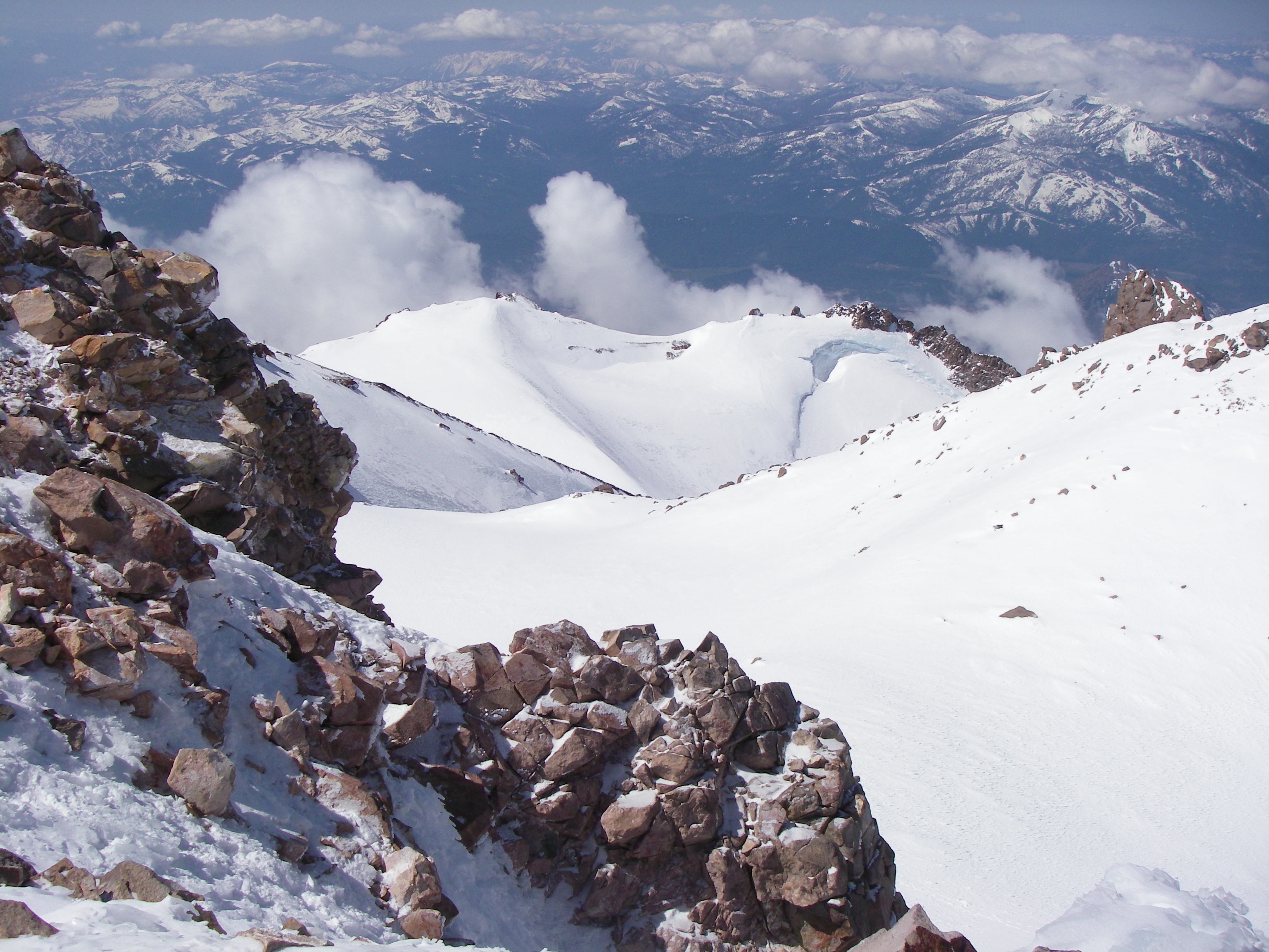
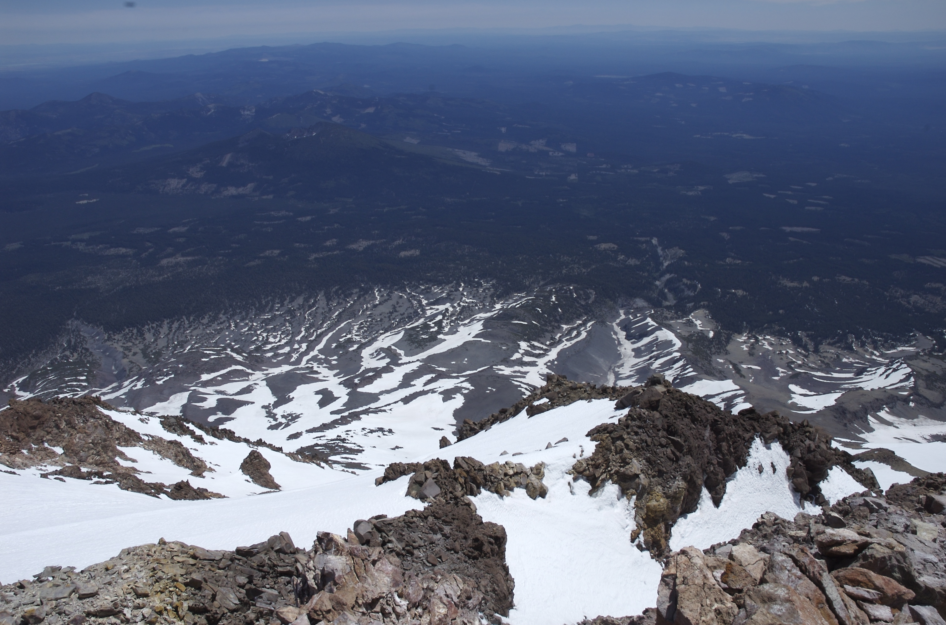
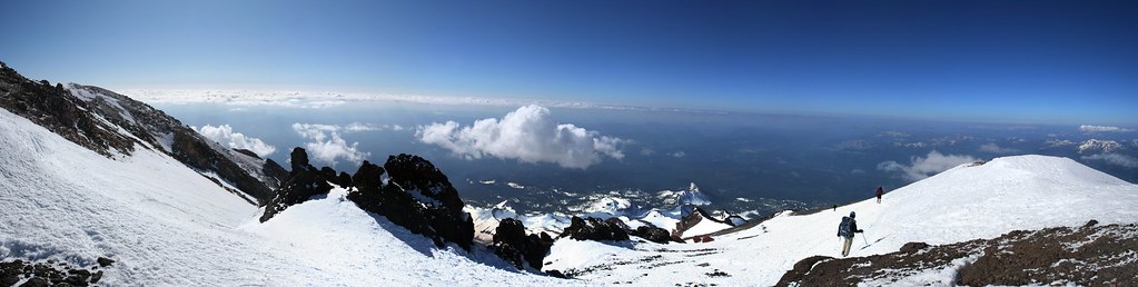
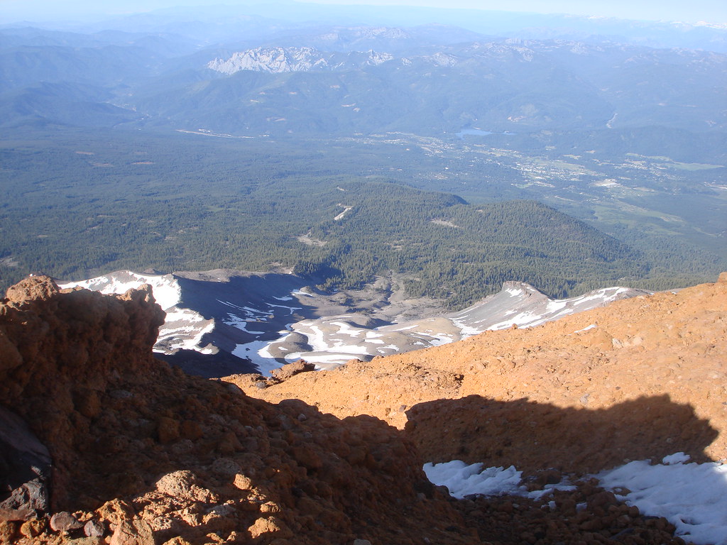
View from the Summit 6, 11:00AM
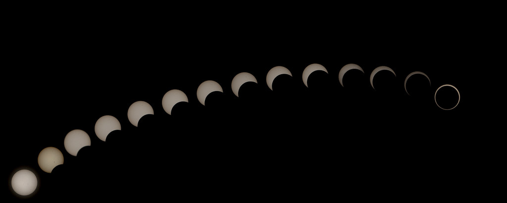
Annular Eclipse Sequence
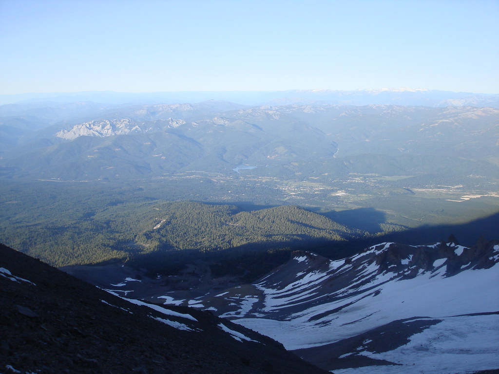
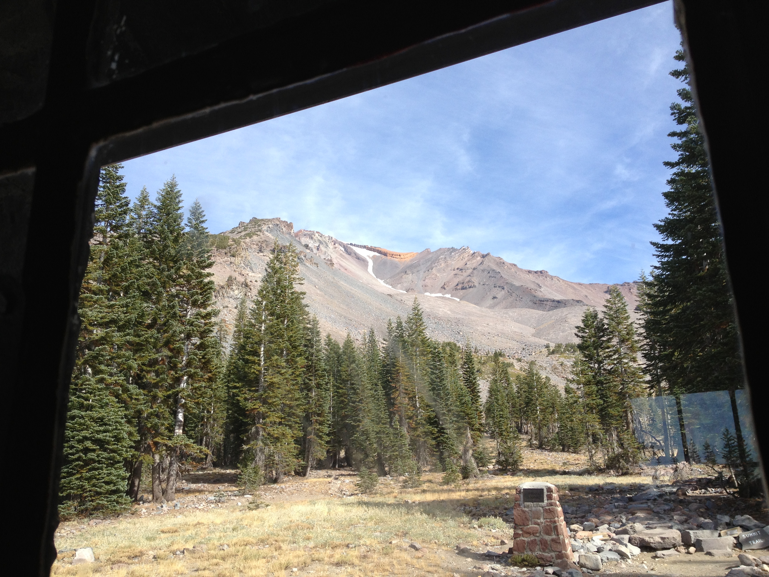
view from Shasta
View from Mount Shasta
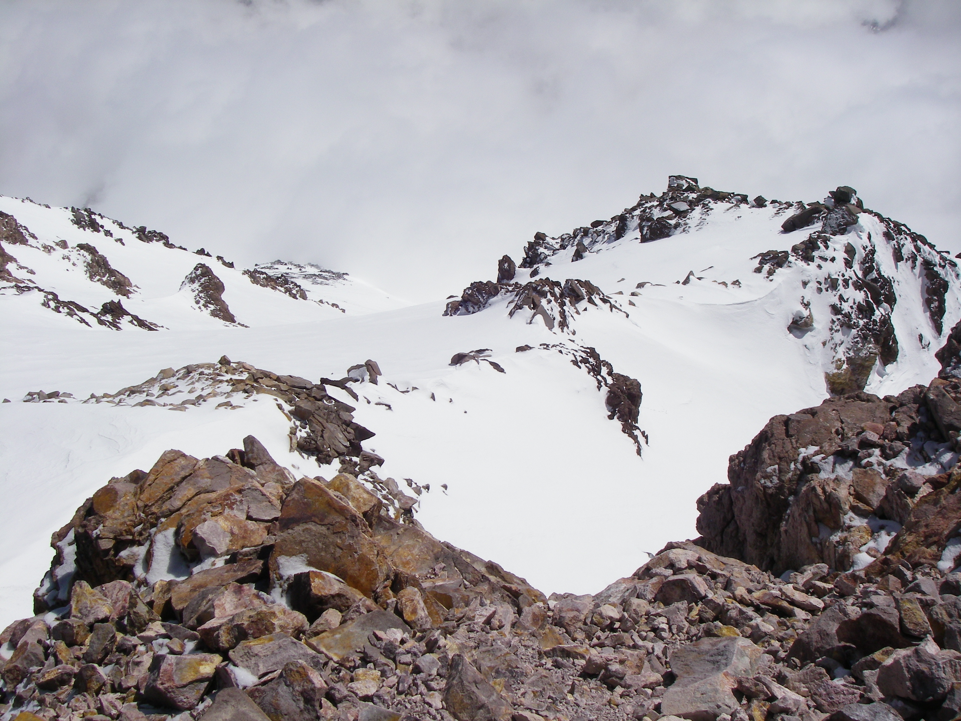
View from the Summit 2, 11:00AM
Another view
Red Bluff Shute 3
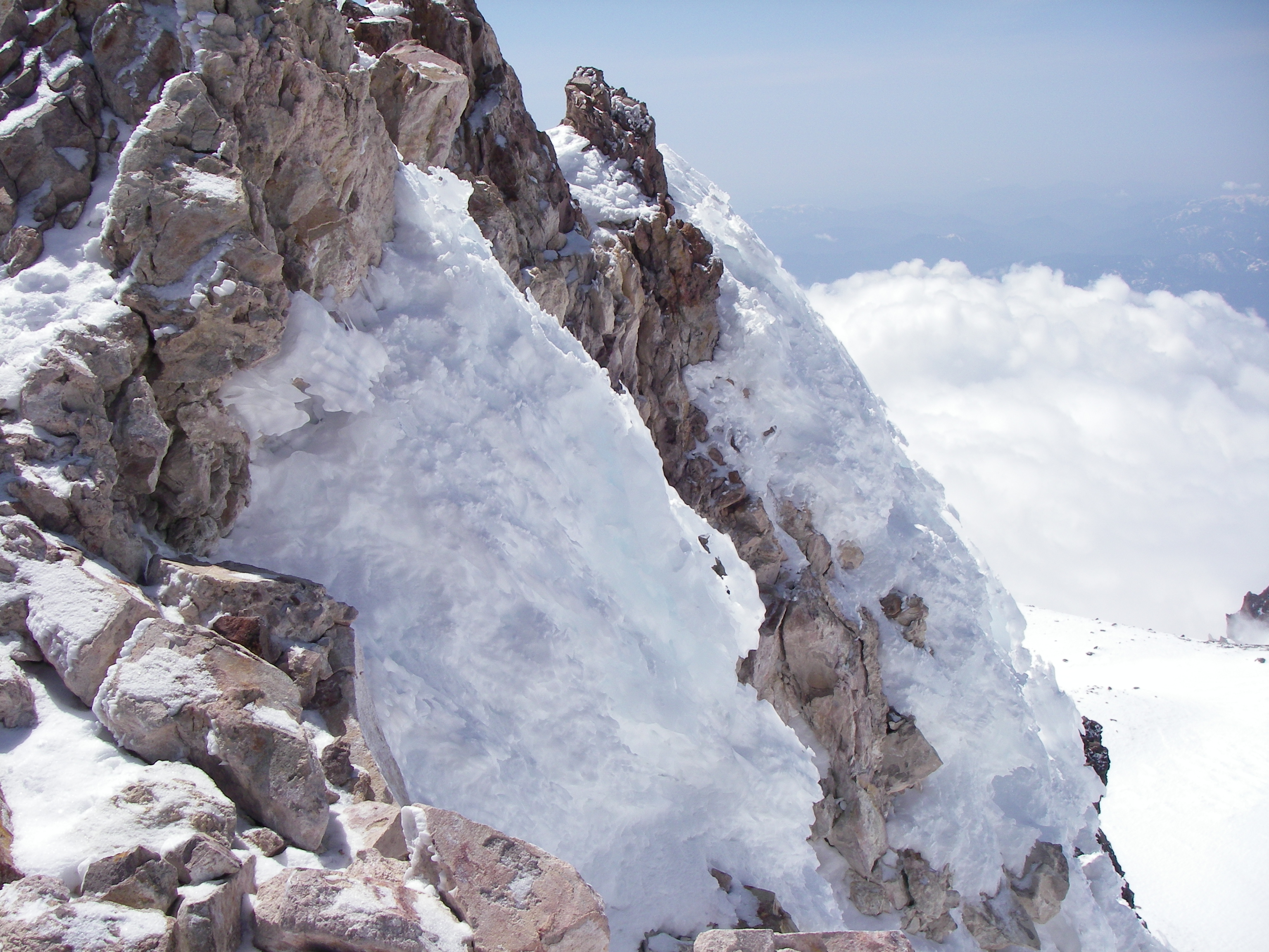
View from the Summit 5, 11:00AM
Morning View 3
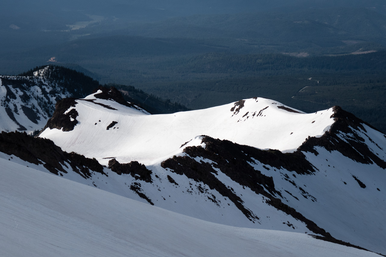
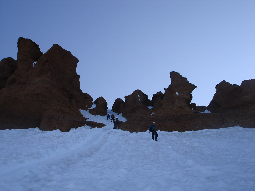
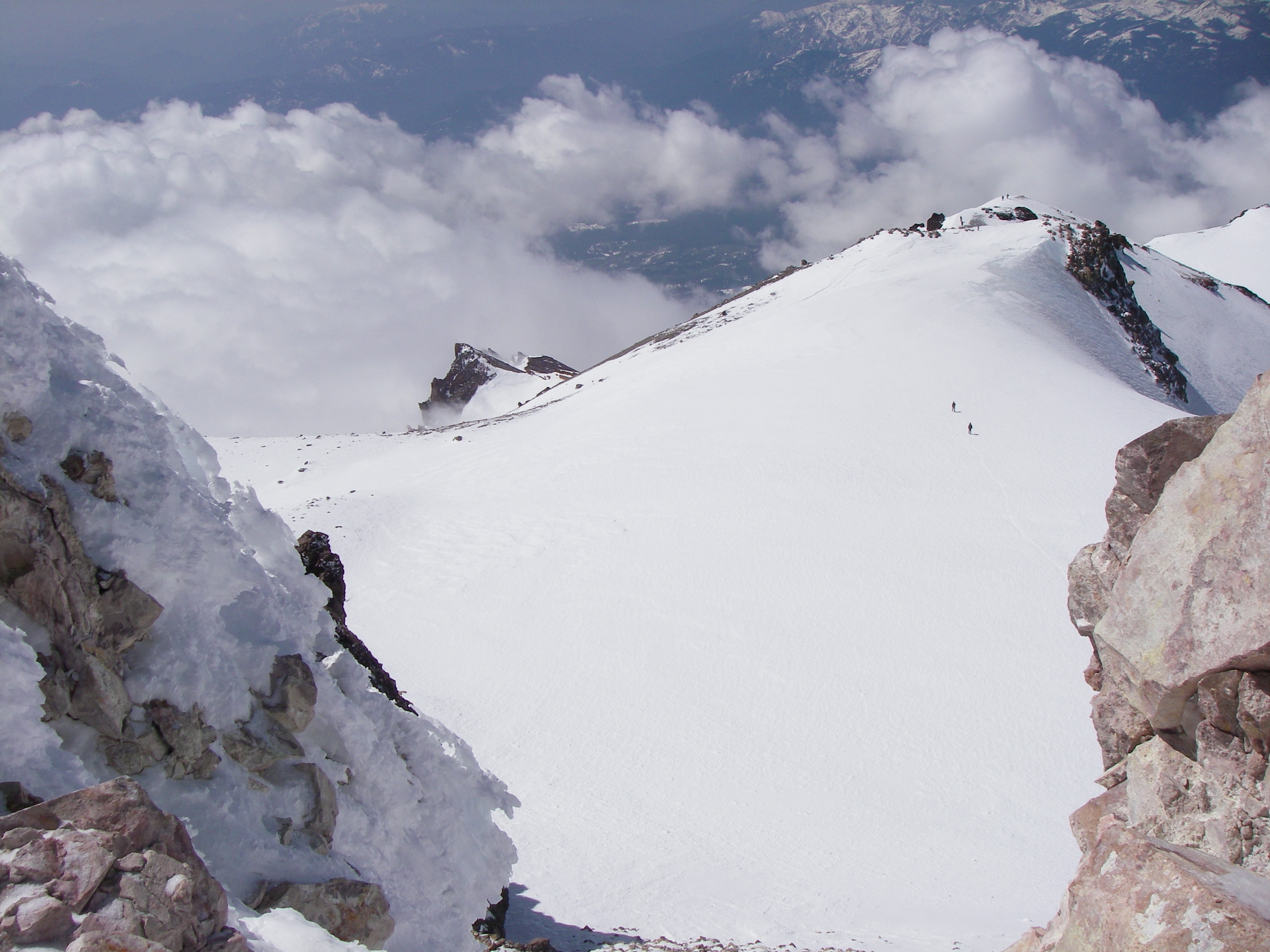
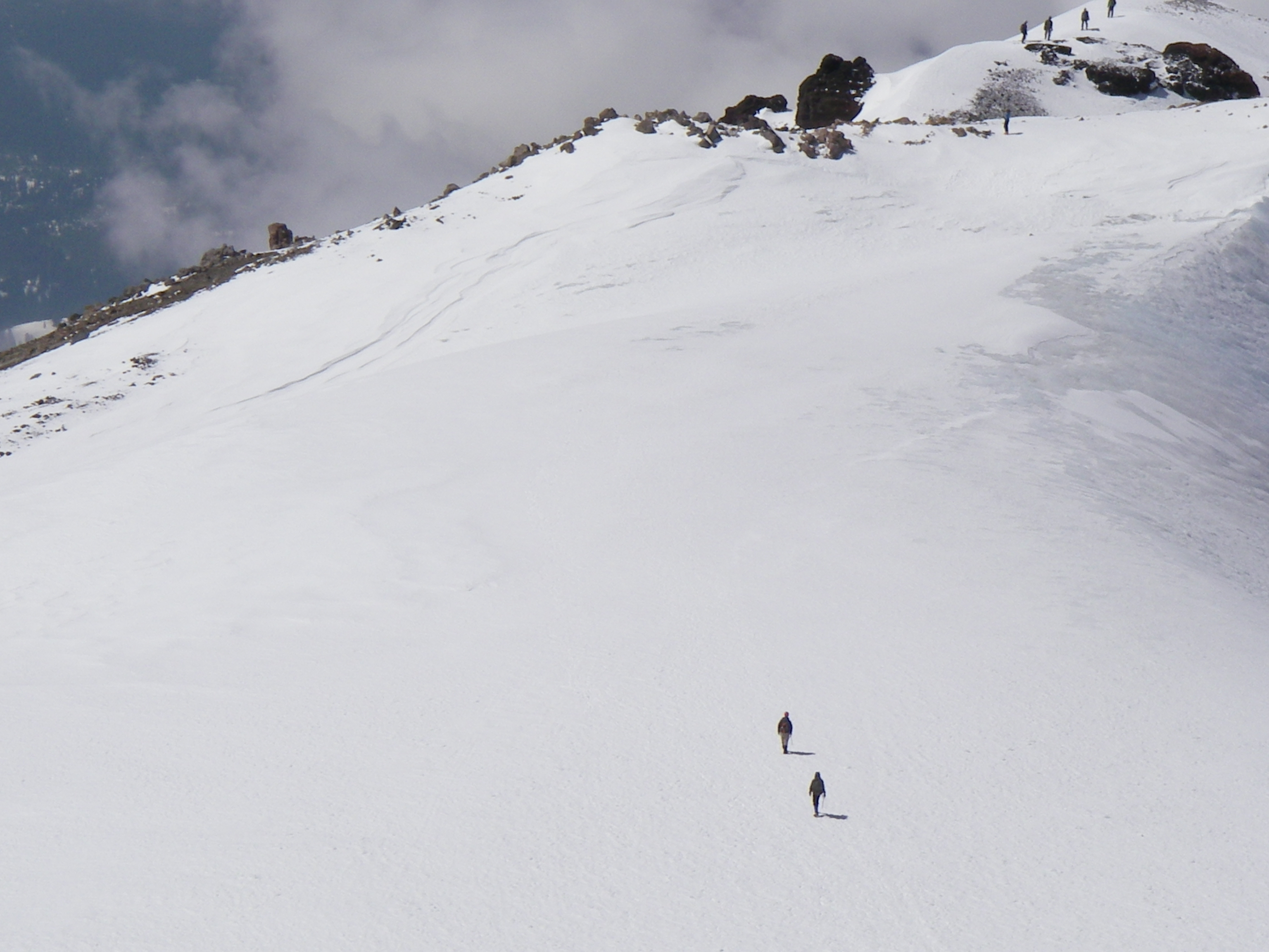
View from Misery Hill
panther meadows1
View from the cabin
Red Bluffs
a2003-14-28
View from the Summit 7, 11:00AM
Red Bluffs
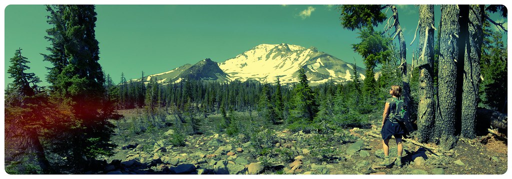
Mt Shasta north face.
Mt. Shasta
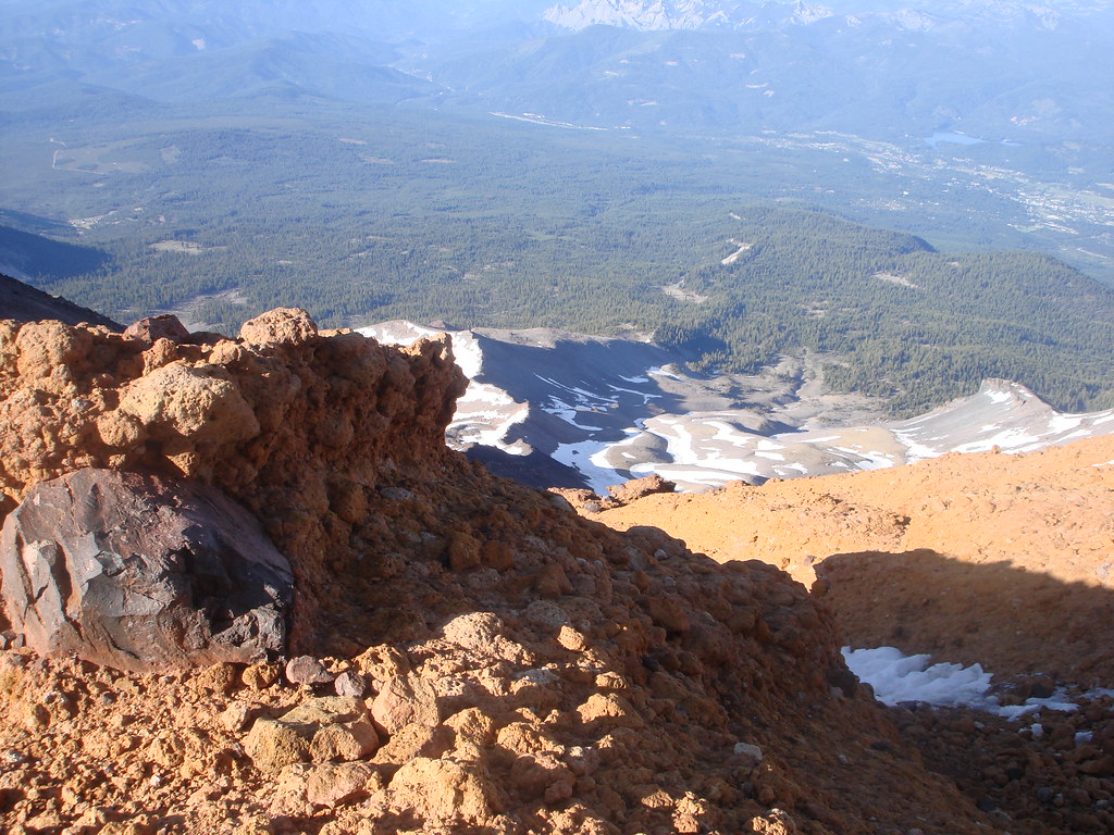
View from the Summit 1, 11:00AM

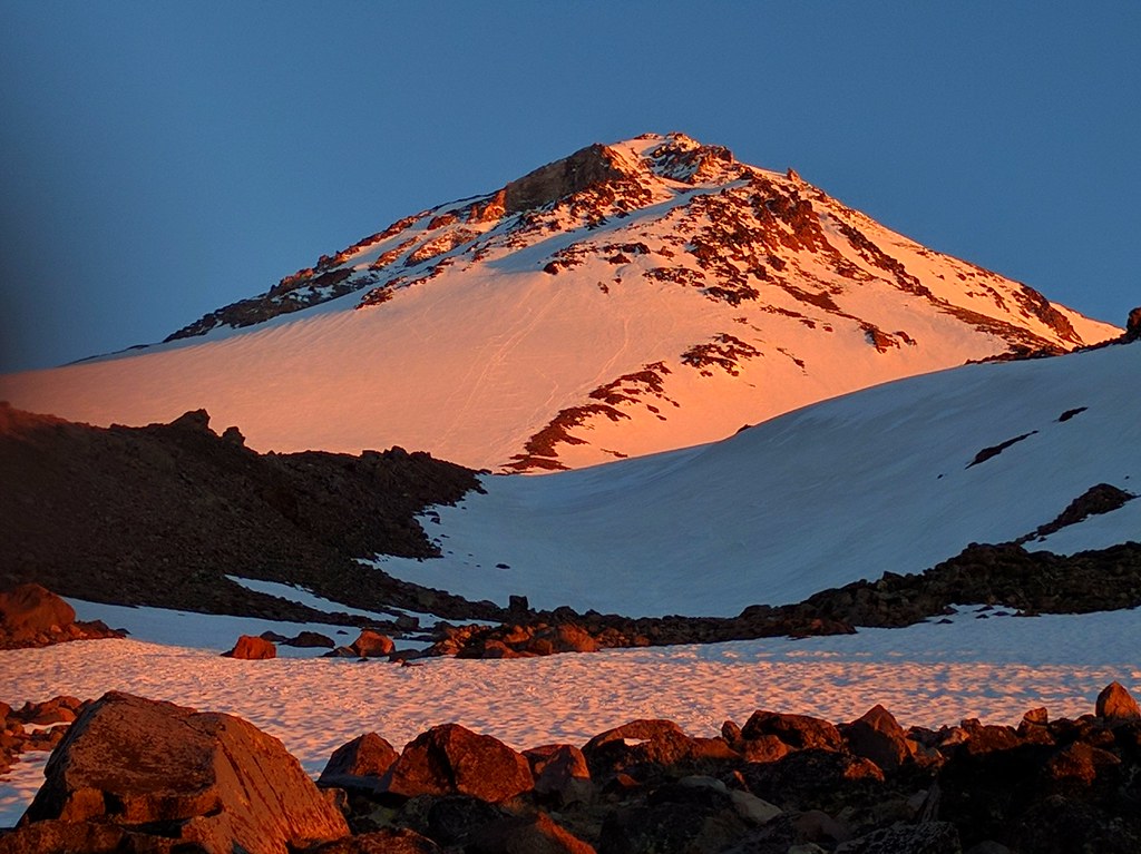
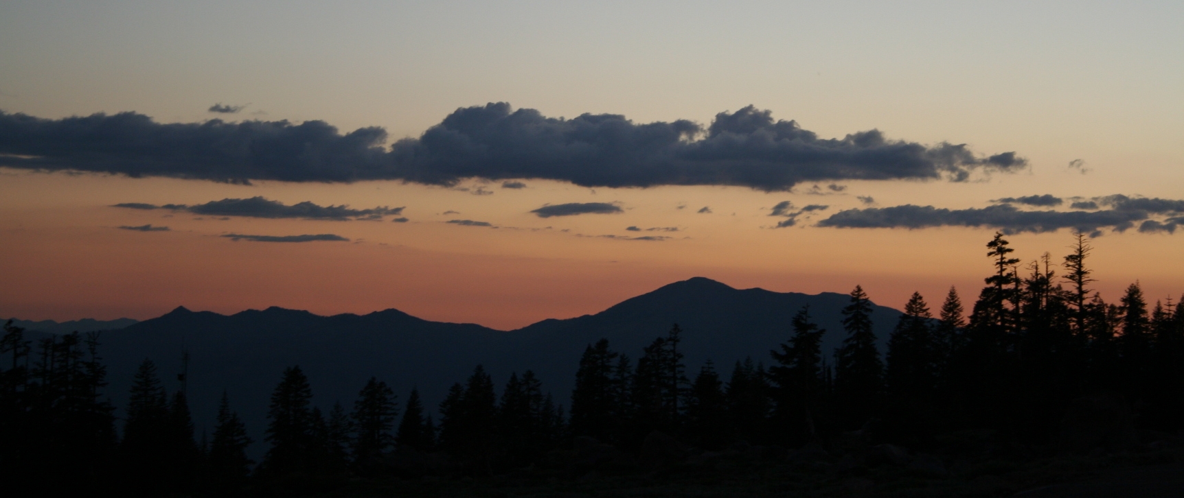
Mount Shasta at Sundown

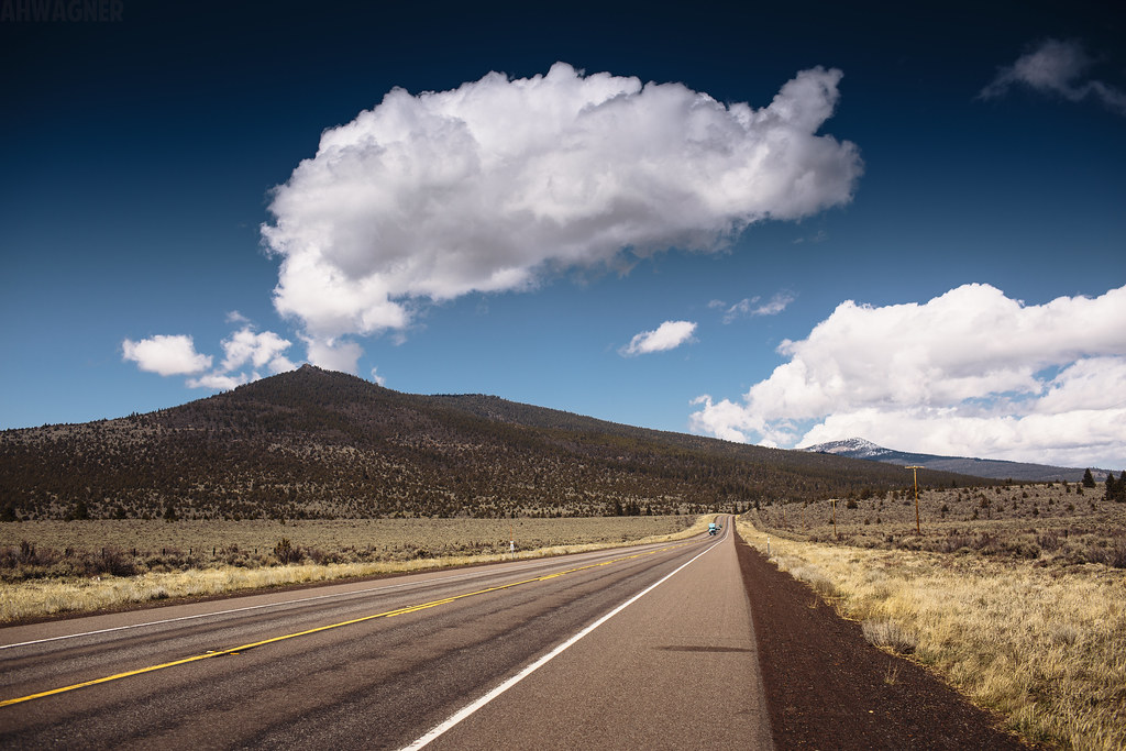
SP 8140 east at Cougar
Retro Mt Shasta

Mt Shasta
IMG_2187-Edit-Edit
Mt Shasta
Mt. Shasta, Mont Shasta
Nature's Impressions
Desert [03.29.13]
Sunset on Mt. Shasta
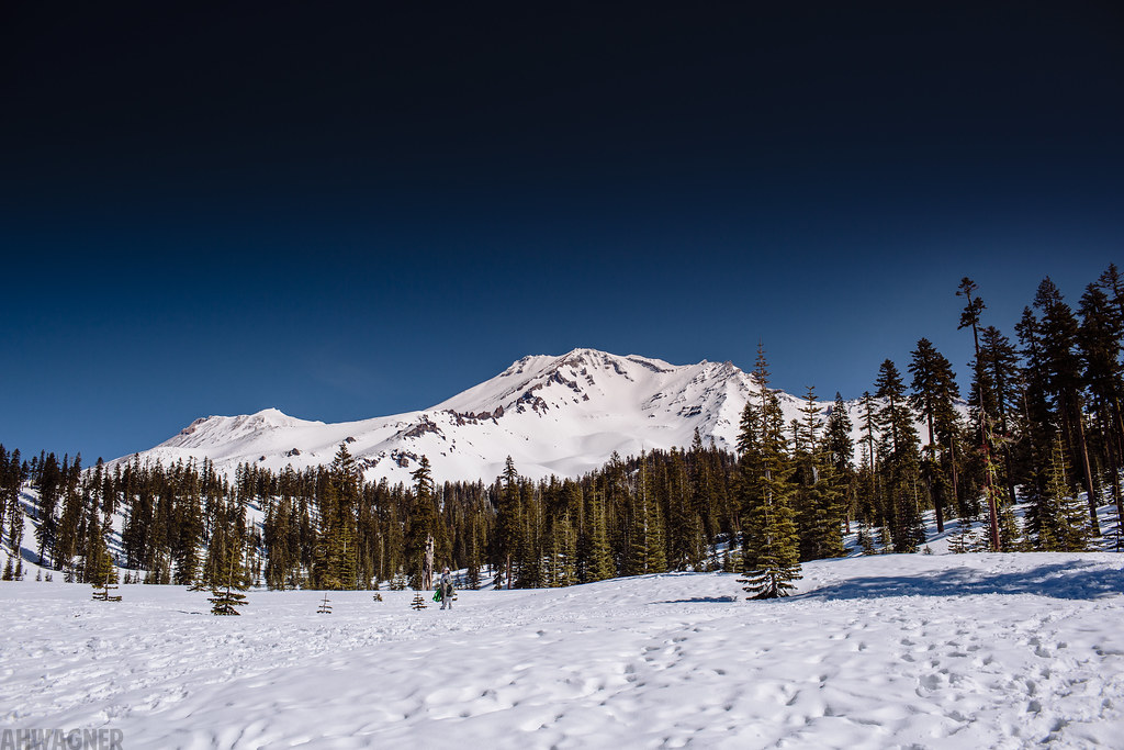
Mt Shasta Peak [03.29.13]
Encounter in the Courts
Mt. Shasta
Mt Shasta
somewhere in Oregon
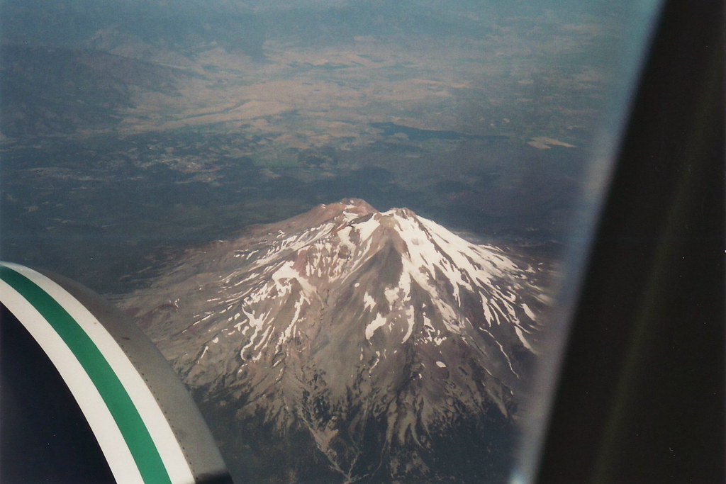
through an airplane window
Topographic Map of Inconstance Creek, California, USA
Find elevation by address:

Places near Inconstance Creek, California, USA:
Ash Creek Butte
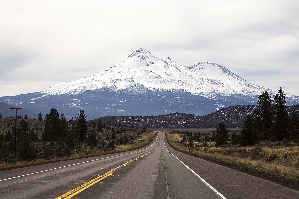
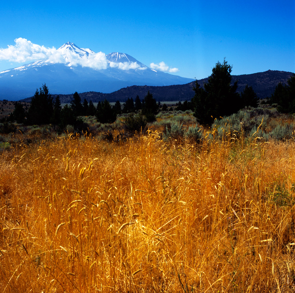
Mount Shasta
Mt. Shasta Wilderness
Shastina
Shelly Court
Shasta Circle
Silverthorn Court
Ravine Court
Snowline Circle
Crater Way
2525 Mccloud Ave
2525 Mccloud Ave
709 Carmen Dr
401 Birch St
401 Birch St
401 Birch St
401 Birch St
401 Birch St
401 Birch St
401 Birch St
Recent Searches:
- Elevation of Elwyn Dr, Roanoke Rapids, NC, USA
- Elevation of Congressional Dr, Stevensville, MD, USA
- Elevation of Bellview Rd, McLean, VA, USA
- Elevation of Stage Island Rd, Chatham, MA, USA
- Elevation of Shibuya Scramble Crossing, 21 Udagawacho, Shibuya City, Tokyo -, Japan
- Elevation of Jadagoniai, Kaunas District Municipality, Lithuania
- Elevation of Pagonija rock, Kranto 7-oji g. 8"N, Kaunas, Lithuania
- Elevation of Co Rd 87, Jamestown, CO, USA
- Elevation of Tenjo, Cundinamarca, Colombia
- Elevation of Côte-des-Neiges, Montreal, QC H4A 3J6, Canada