Elevation of Willey Hill Rd, Topsham, VT, USA
Location: United States > Vermont > Orange County > Topsham >
Longitude: -72.275443
Latitude: 44.1399633
Elevation: 469m / 1539feet
Barometric Pressure: 96KPa
Elevation Map:
Satellite Map:
Related Photos:

The Walk to Barre's "Grand View"
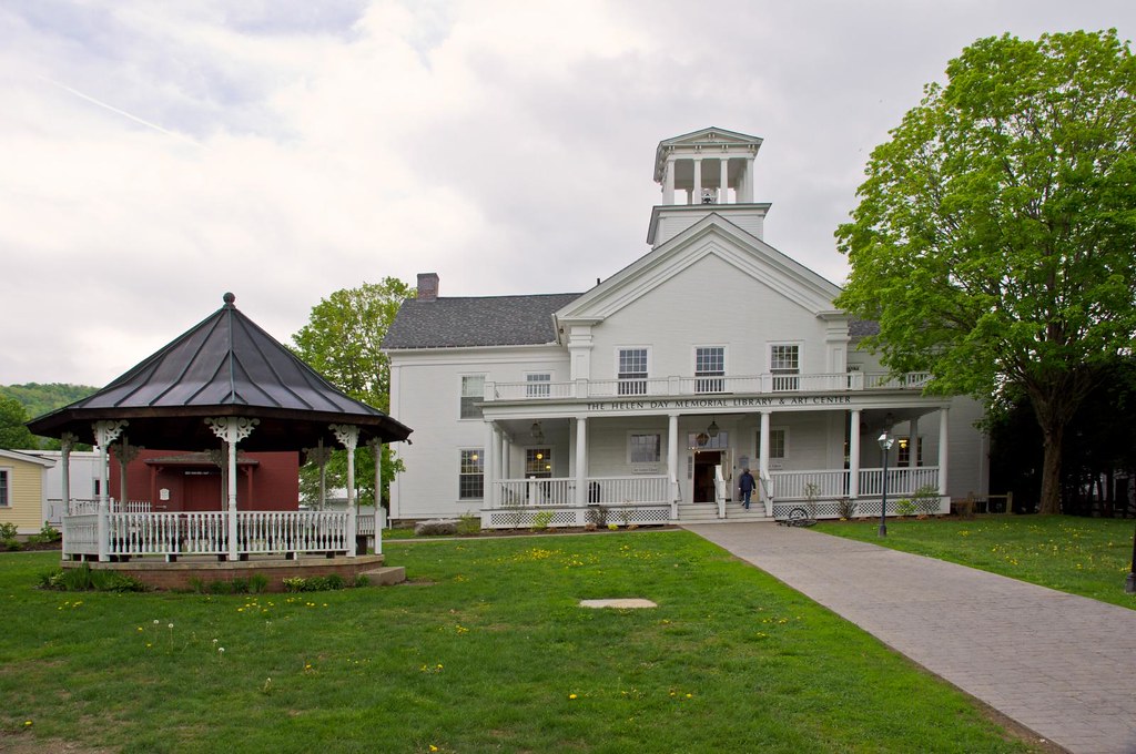
Stowe Free Library
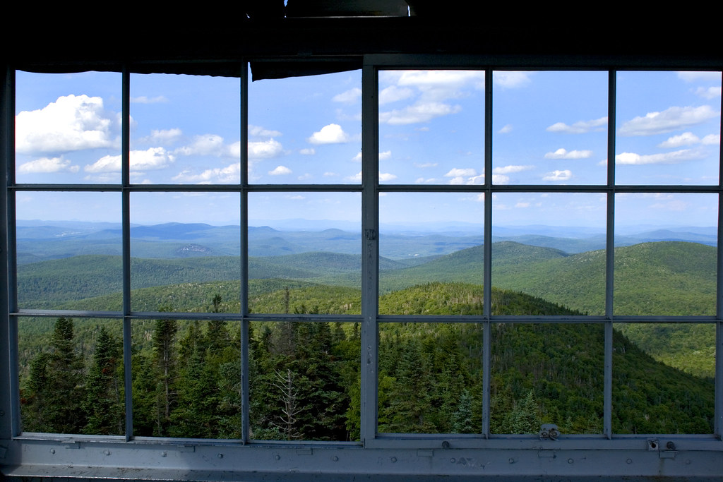
View from the Fire Tower

Scenic View From Lake Groton Overlook

Spruce Mountain

Fire Tower View (3)

Fire Tower View (1)

Spruce Lookout View

Fire Tower View (2)

Spruce Mountain, Vermont

Spruce Mountain, Vermont

Up On Spruce Mountain

East Corinth, Vermont

East Orange, Vermont

Milky Way over Vermont Village

Little Unnamed Waterfall in Vermont

Evening at East Corinth, Vermont

Reflections of Fog

Autumn in Vermont

Lake Groton Dam

Osmore Pond in New Discovery State Park, Groton, VT on a pretty July morning. #Vermont #Vermontsummer #vtstateparks

Hard woods meet hard pavement and elevate to green on the mountain top

In the Cabin

Sunrise from Spruce Mountain Fire Tower

Sunrise, Mt. Washington in the Distance

Color Intersection

Lake Groton, Vermont.

Ricker Pond State Park

Sunrise, Mt. Washington in the Distance(2)

Camel's Hump

Through the Trees
Topographic Map of Willey Hill Rd, Topsham, VT, USA
Find elevation by address:

Places near Willey Hill Rd, Topsham, VT, USA:
18 Kasson Rd
Topsham
East Orange
Powder Spring Road
93 Harts Rd
Riddel Pond
8 Harts Rd
8 Harts Crossroad
8 Harts Crossroad
8 Harts Crossroad
8 Harts Crossroad
8 Harts Crossroad
8 Harts Crossroad
110 Provencher Ln
128 Provencher Ln
Groton
24 Seldom Seen Farm Rd
13 Mountain View Dr
563 State Forest Rd
Mountain View Drive
Recent Searches:
- Elevation of Shibuya Scramble Crossing, 21 Udagawacho, Shibuya City, Tokyo -, Japan
- Elevation of Jadagoniai, Kaunas District Municipality, Lithuania
- Elevation of Pagonija rock, Kranto 7-oji g. 8"N, Kaunas, Lithuania
- Elevation of Co Rd 87, Jamestown, CO, USA
- Elevation of Tenjo, Cundinamarca, Colombia
- Elevation of Côte-des-Neiges, Montreal, QC H4A 3J6, Canada
- Elevation of Bobcat Dr, Helena, MT, USA
- Elevation of Zu den Ihlowbergen, Althüttendorf, Germany
- Elevation of Badaber, Peshawar, Khyber Pakhtunkhwa, Pakistan
- Elevation of SE Heron Loop, Lincoln City, OR, USA