Elevation of Wild Turkey Trail, Chilhowie, VA, USA
Location: United States > Virginia > Washington County > Taylor >
Longitude: -81.670793
Latitude: 36.700243
Elevation: 744m / 2441feet
Barometric Pressure: 93KPa
Elevation Map:
Satellite Map:
Related Photos:

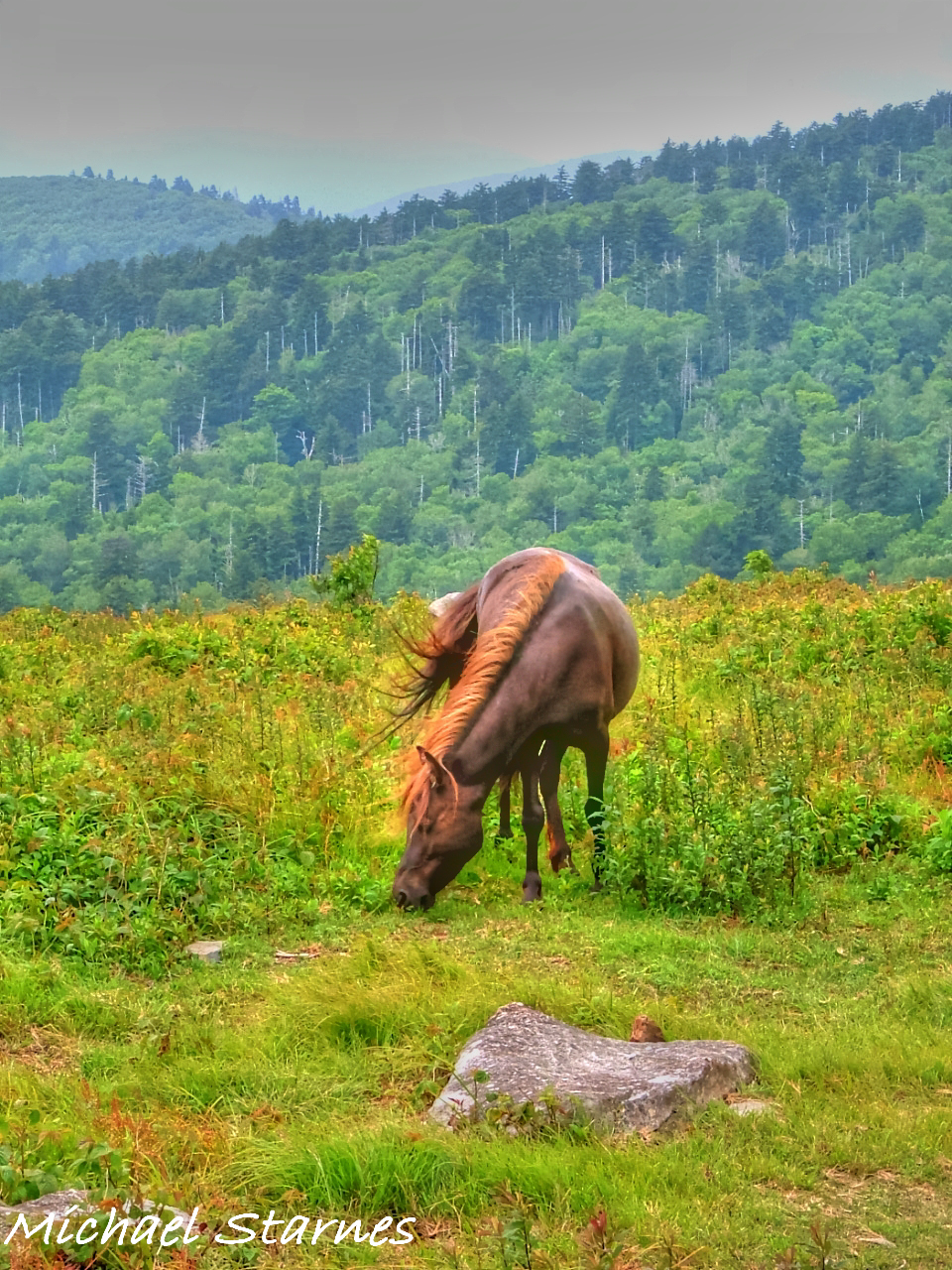
Wilburn Ridge Trail

Appalachian Yorkie
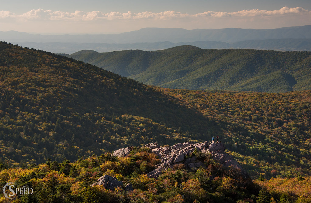
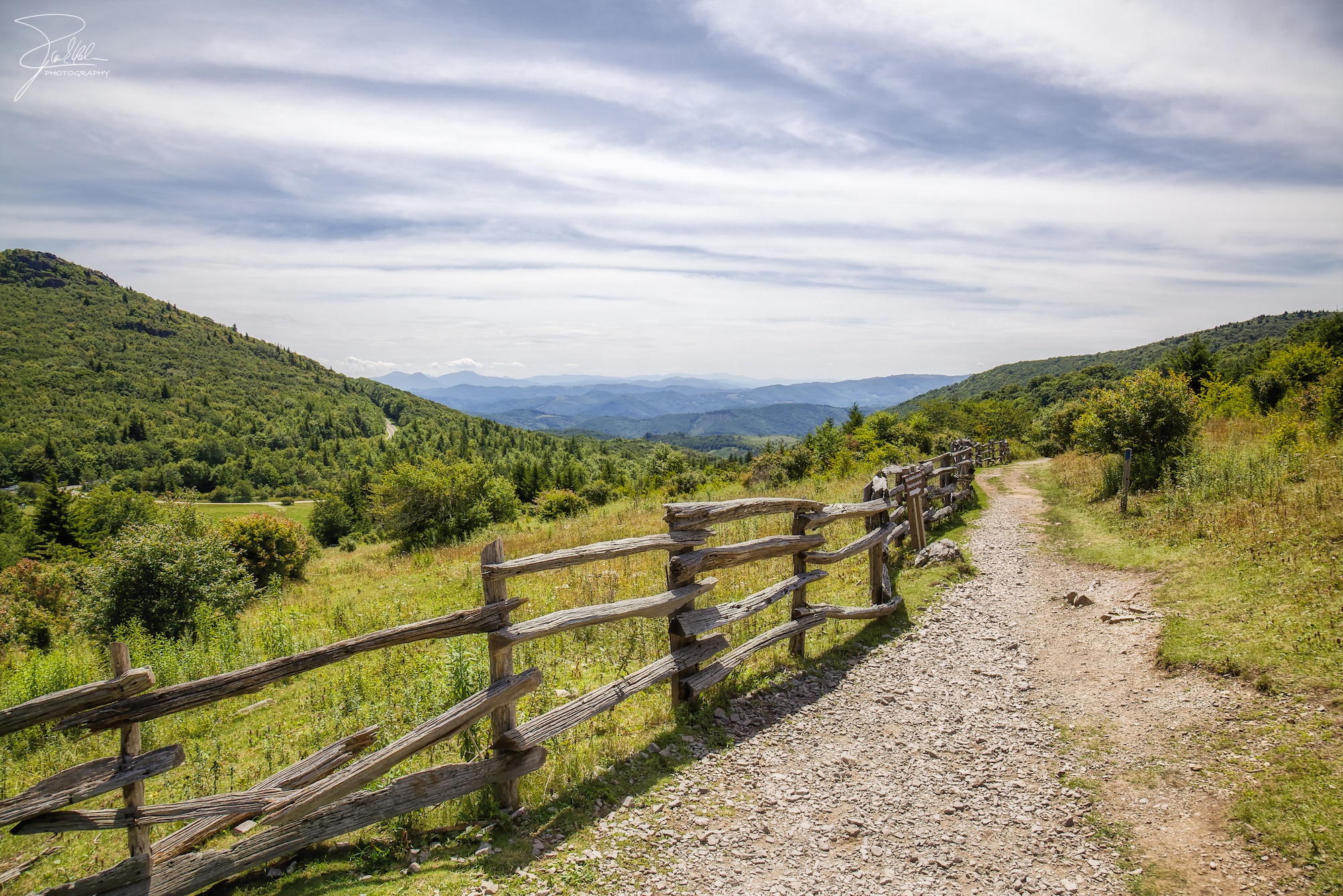
Two Hikers taking in the Grayson County view.
Morning on Wilburn Ridge

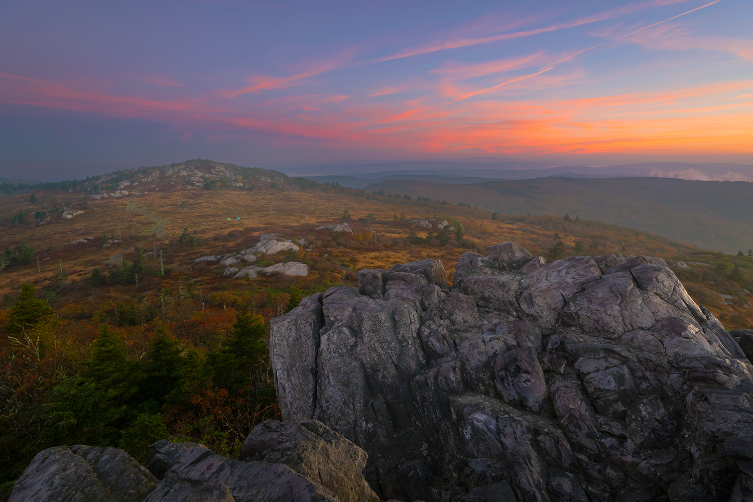
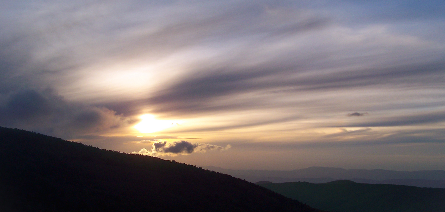
Grayson Highlands Sunset
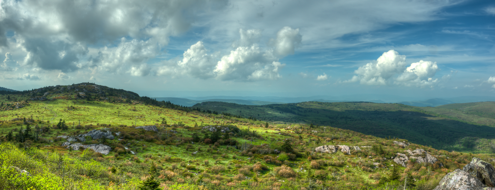
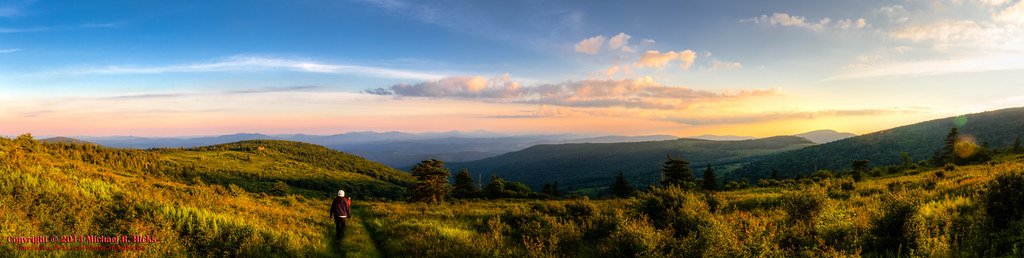
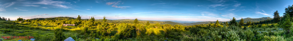
Wilburn Ridge Pano
Sunset on White Top

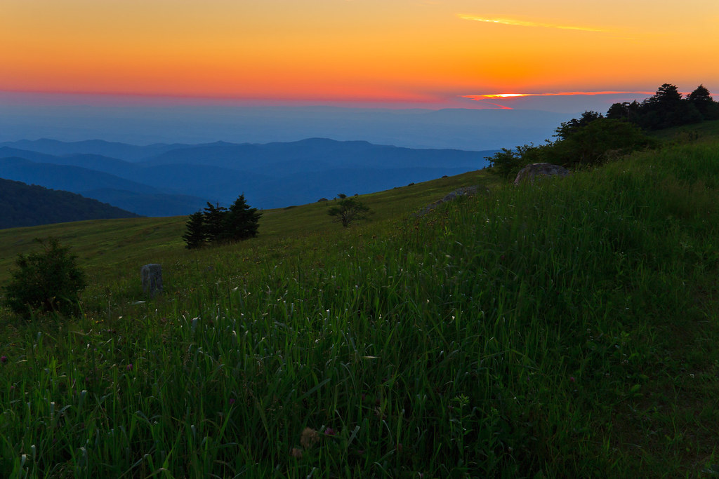
Wilburn Ridge Sunrise

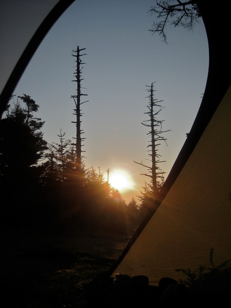
Nuclear Blast
Morning in the Grayson Highlands
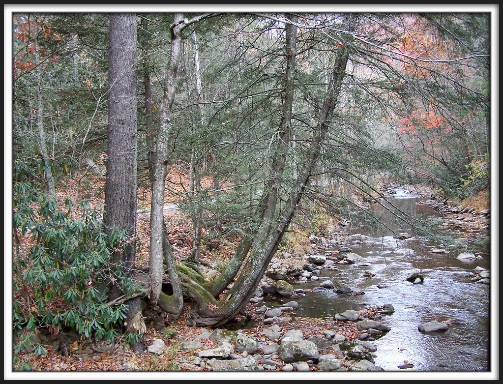
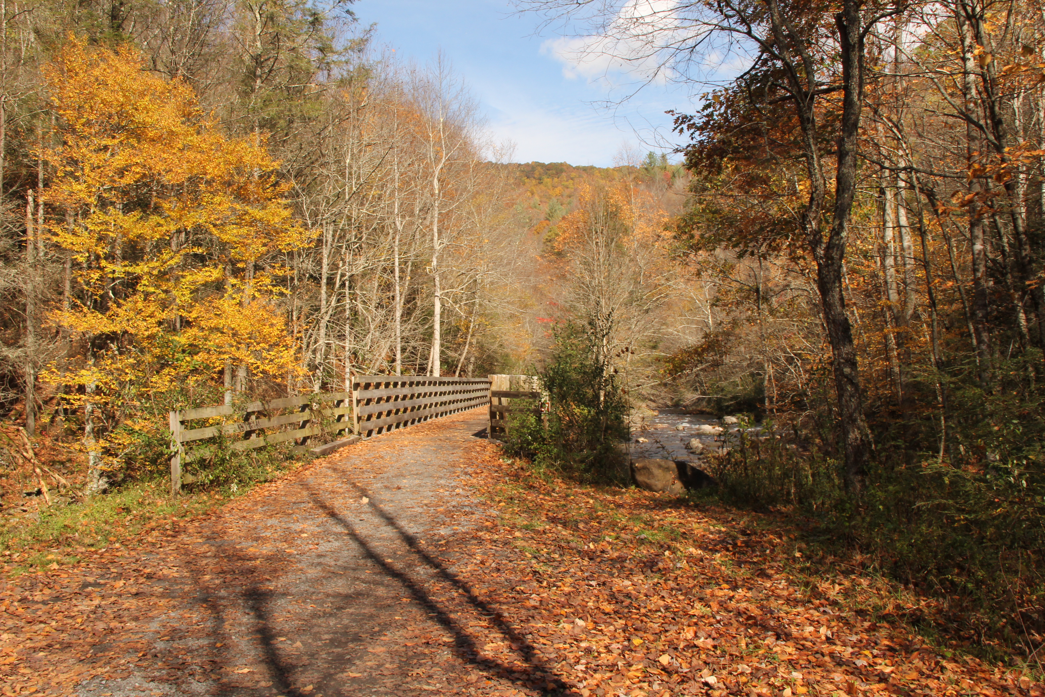
Whitetop Laurel Creek
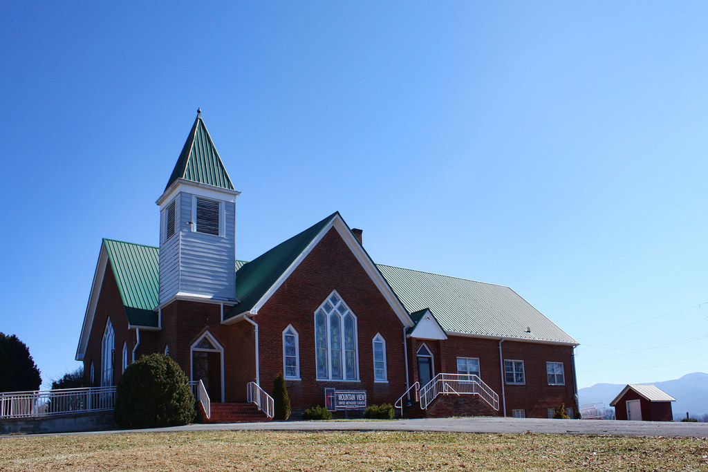
Mountain View United Methodist Church

Mobile Home

RAD20130320.08 White Top
VCT View 1
Room With A View
Mt Rogers Sunset

View Toward Buzzard Rocks from Whitetop Mountain - Mt. Rogers, NRA, Whitetop, VA
Whenlin Ridge

Sunset Over Mt Rogers

View From Whitetop Summit I - Mt. Rogers, NRA, Whitetop, VA

Wilburn Ridge Sunset

Virginia Creeper Trail Crossing 21

Wilburn Ridge Sunset
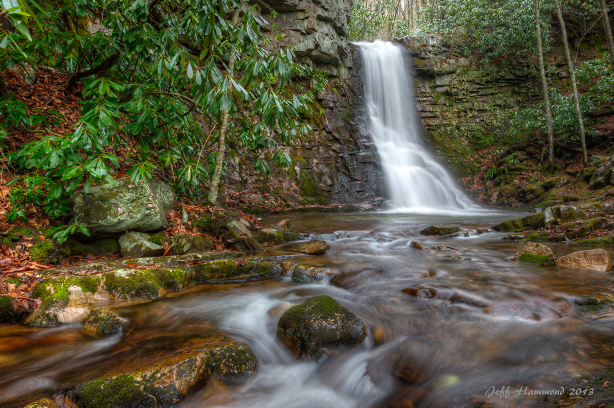
Upper Gentry Creek Falls HDR
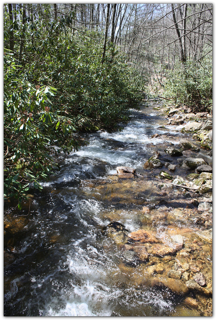
Whitetop Laurel Creek

Downhill Slide
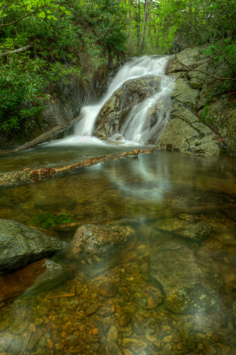
Upper Cabin Creek Falls
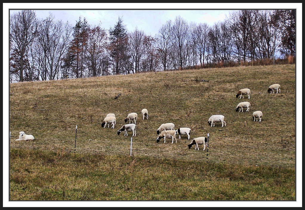
The Herder
Mt Rogers Backpack - On the AT - Golden Hour at Thomas Knob - July 5, 2014

Virginia Creeper Trail 2014
Mount Rogers
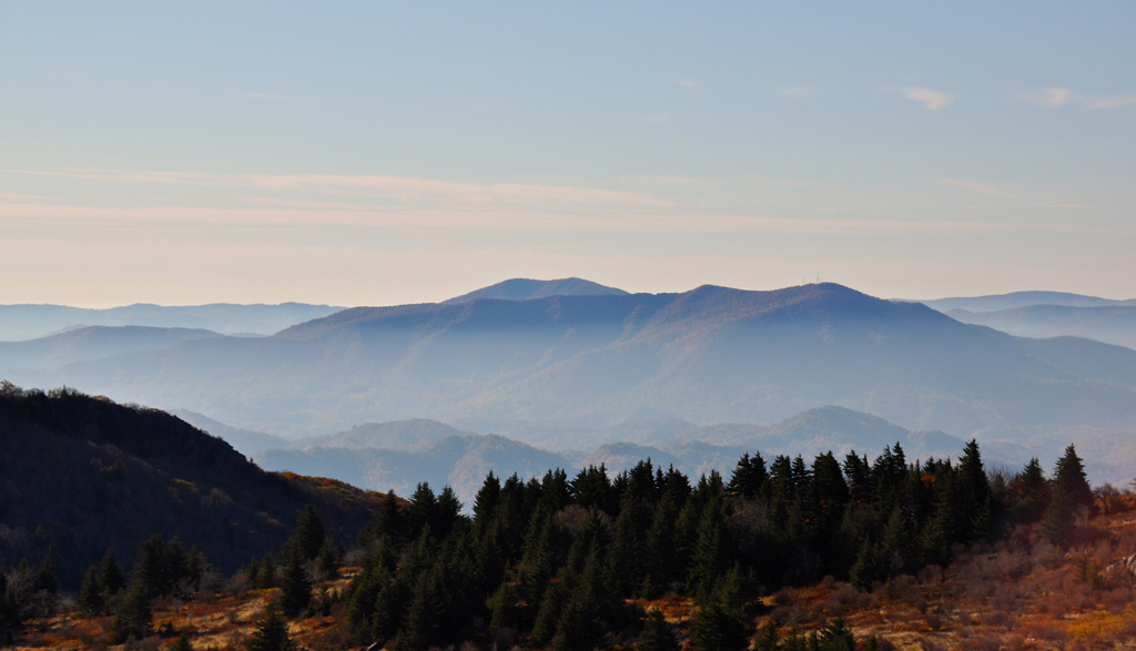
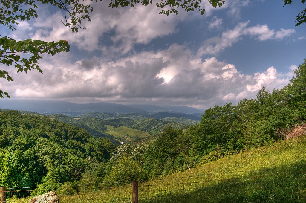
Grayson Highlands
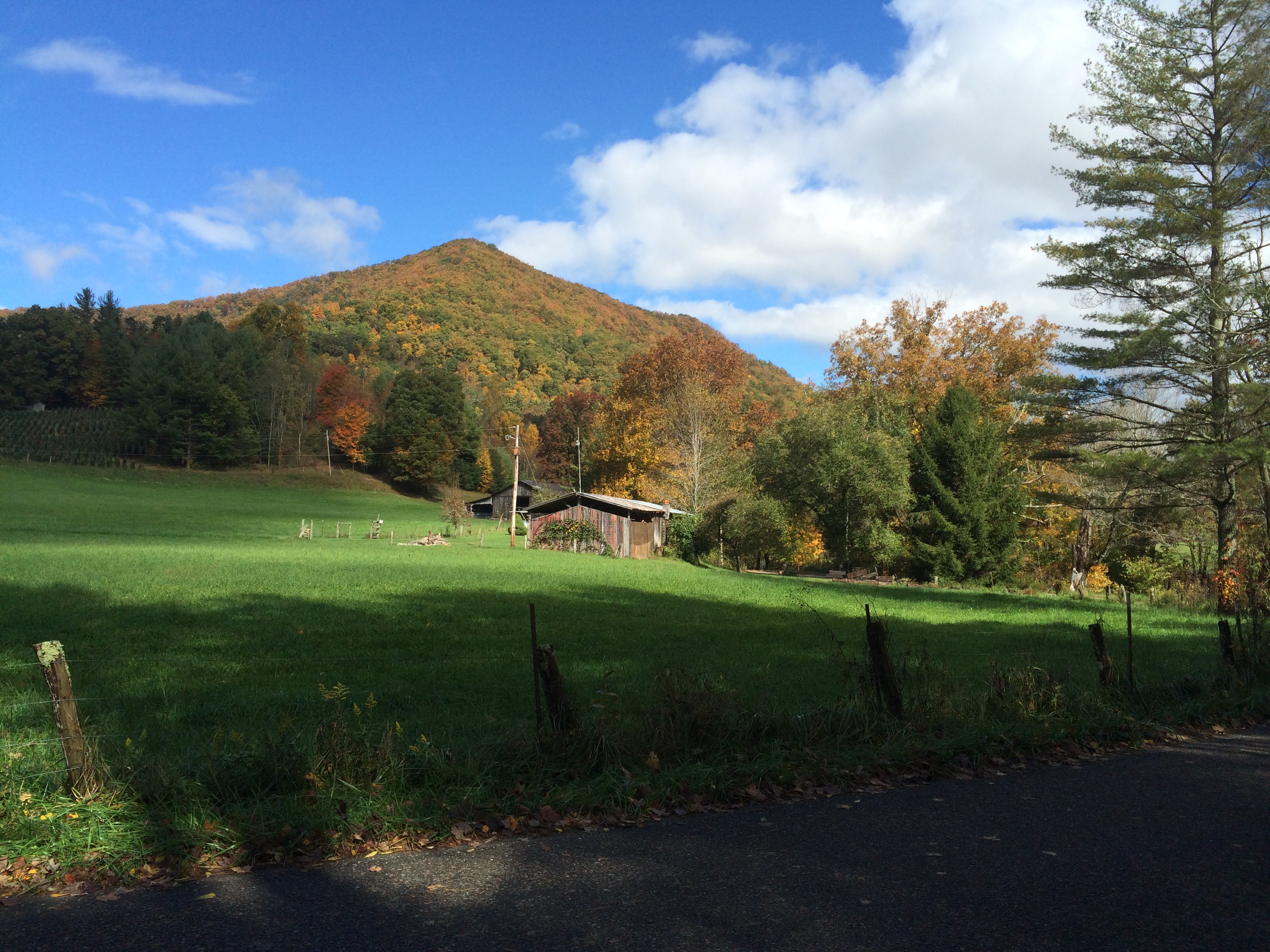
Pine Mountain Panorama
Virginia Creeper Trail 2014
Topographic Map of Wild Turkey Trail, Chilhowie, VA, USA
Find elevation by address:

Places near Wild Turkey Trail, Chilhowie, VA, USA:
18168 Wild Turkey Trail
18218 Wild Turkey Trail
17514 Burnt Cabin Trail
Merryfield Rd, Chilhowie, VA, USA
Town Springs Road
15540 Co Rd 604
Bishop Road
37372 Widener Valley Rd
41305 Rhymer Rd
Widener Valley Rd, Glade Spring, VA, USA
41279 Rhymer Rd
41255 Rhymer Rd
Rhymer Road
41288 Rhymer Rd
Konnarock
Konnarock
Azen Rd, Damascus, VA, USA
513 Beadwood Ln
Chilhowie, VA, USA
Creek Junction Trailhead Of Virginia Creeper National Recreation Trail
Recent Searches:
- Elevation of Tenjo, Cundinamarca, Colombia
- Elevation of Côte-des-Neiges, Montreal, QC H4A 3J6, Canada
- Elevation of Bobcat Dr, Helena, MT, USA
- Elevation of Zu den Ihlowbergen, Althüttendorf, Germany
- Elevation of Badaber, Peshawar, Khyber Pakhtunkhwa, Pakistan
- Elevation of SE Heron Loop, Lincoln City, OR, USA
- Elevation of Slanický ostrov, 01 Námestovo, Slovakia
- Elevation of Spaceport America, Co Rd A, Truth or Consequences, NM, USA
- Elevation of Warwick, RI, USA
- Elevation of Fern Rd, Whitmore, CA, USA