Elevation of Wild Turkey Trail, Chilhowie, VA, USA
Location: United States > Virginia > Smyth County > Chilhowie > Chilhowie >
Longitude: -81.672524
Latitude: 36.697763
Elevation: 774m / 2539feet
Barometric Pressure: 92KPa
Elevation Map:
Satellite Map:
Related Photos:

Two Hikers taking in the Grayson County view.

Wilburn Ridge Trail

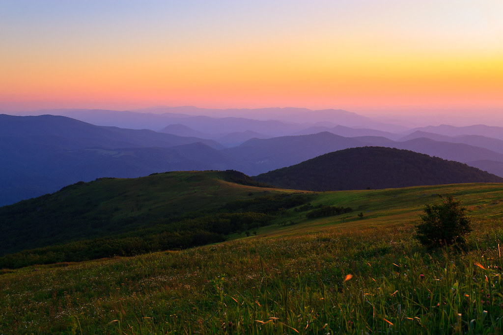
Grayson Highlands Sunset

Mobile Home
Sunset on White Top

Nuclear Blast

RAD2013.03.20.08 White Top

Green Cove Station

View Toward Buzzard Rocks from Whitetop Mountain - Mt. Rogers, NRA, Whitetop, VA

Whitetop Laurel Creek

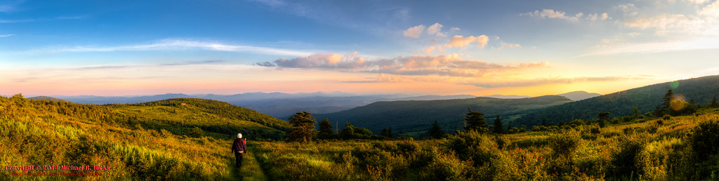
Wilburn Ridge Pano

Morning on Wilburn Ridge

Wilburn Ridge Sunrise

Buzzard Rock, Appalachian NST, VA (3)

Views on Wilburn Ridge

Appalachian Yorkie

Mountain View United Methodist Church

Whitetop Mountain, Appalachian NST, VA

VA601 to Buzzard Rock, Appalachian NST, VA (13)

Buzzard Rock, Appalachian NST, VA (2)

Morning in the Grayson Highlands

Whitetop Laurel Creek

Cabin on Cabin Creek

Wilburn Ridge Sunset

Foggy Wilburn

Clearing Fog on Whitetop Mountain
Mt Rogers Backpack - On the AT - Golden Hour at Thomas Knob - July 5, 2014

Mt Rogers Backpack - Sunrise on Thomas Knob - July 6, 2014
Topographic Map of Wild Turkey Trail, Chilhowie, VA, USA
Find elevation by address:

Places near Wild Turkey Trail, Chilhowie, VA, USA:
18218 Wild Turkey Trail
18109 Wild Turkey Trail
17514 Burnt Cabin Trail
Merryfield Rd, Chilhowie, VA, USA
Town Springs Road
15540 Co Rd 604
37372 Widener Valley Rd
Bishop Road
Widener Valley Rd, Glade Spring, VA, USA
41305 Rhymer Rd
41279 Rhymer Rd
41255 Rhymer Rd
Rhymer Road
41288 Rhymer Rd
Konnarock
Konnarock
Azen Rd, Damascus, VA, USA
513 Beadwood Ln
Creek Junction Trailhead Of Virginia Creeper National Recreation Trail
Chilhowie, VA, USA
Recent Searches:
- Elevation of Vista Blvd, Sparks, NV, USA
- Elevation of 15th Ave SE, St. Petersburg, FL, USA
- Elevation of Beall Road, Beall Rd, Florida, USA
- Elevation of Leguwa, Nepal
- Elevation of County Rd, Enterprise, AL, USA
- Elevation of Kolchuginsky District, Vladimir Oblast, Russia
- Elevation of Shustino, Vladimir Oblast, Russia
- Elevation of Lampiasi St, Sarasota, FL, USA
- Elevation of Elwyn Dr, Roanoke Rapids, NC, USA
- Elevation of Congressional Dr, Stevensville, MD, USA