Elevation of Wicklund Village, Mountain House, CA, USA
Location: United States > California > San Joaquin County > Mountain House >
Longitude: -121.54128
Latitude: 37.7711278
Elevation: 20m / 66feet
Barometric Pressure: 101KPa
Elevation Map:
Satellite Map:
Related Photos:

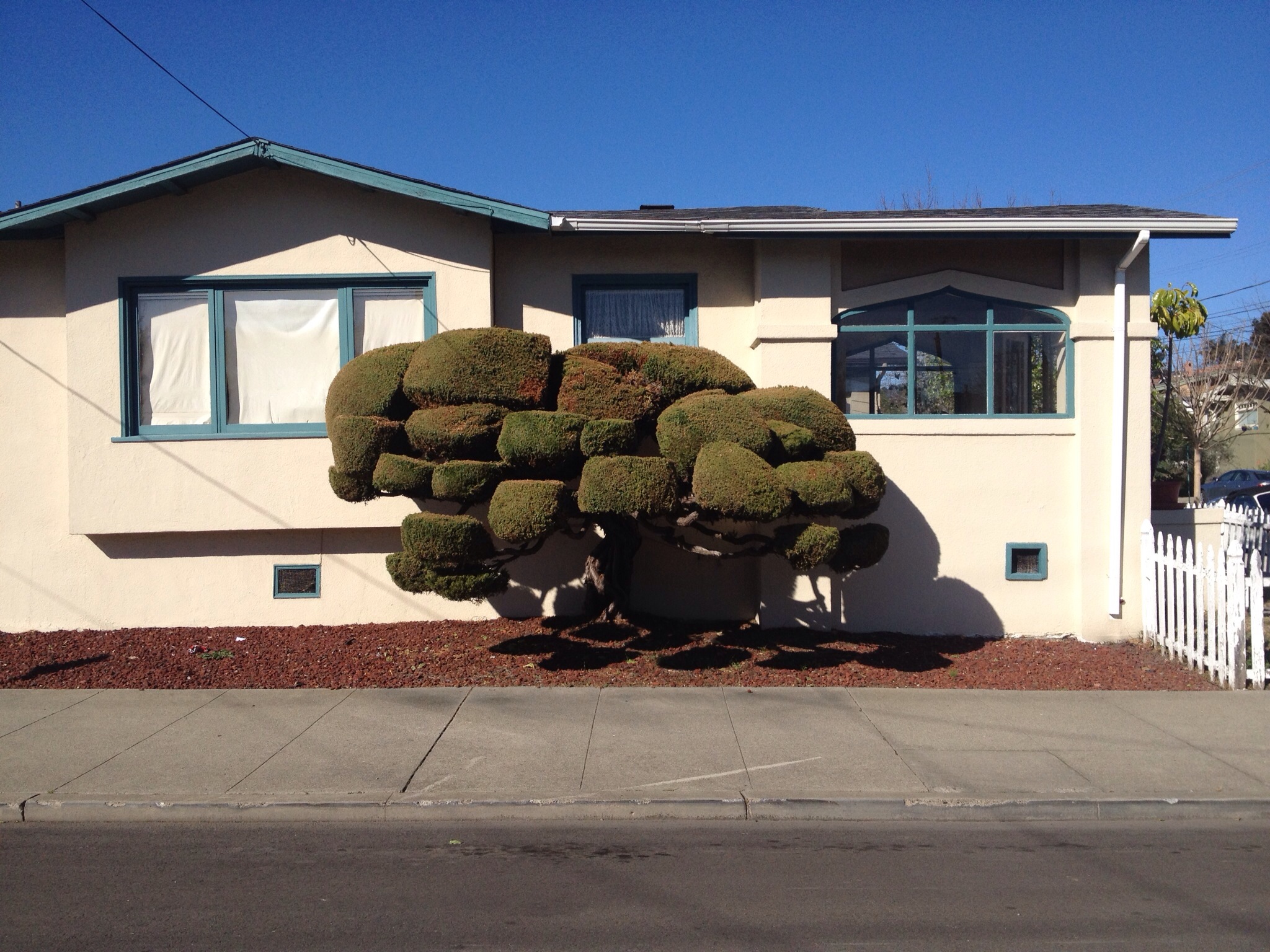
Saturday Night Live

ALL STAAAARS. (explored #9)

big cloud-brushy peak

Legend of Fall Hollow
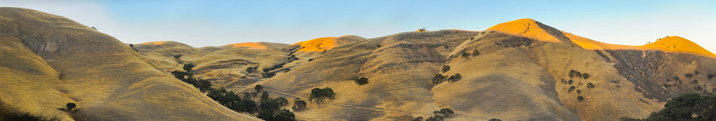
Pastoral California II

EXPLORED: 1/365 - St. Anne Church a Single Raw HDR
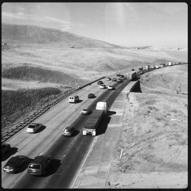
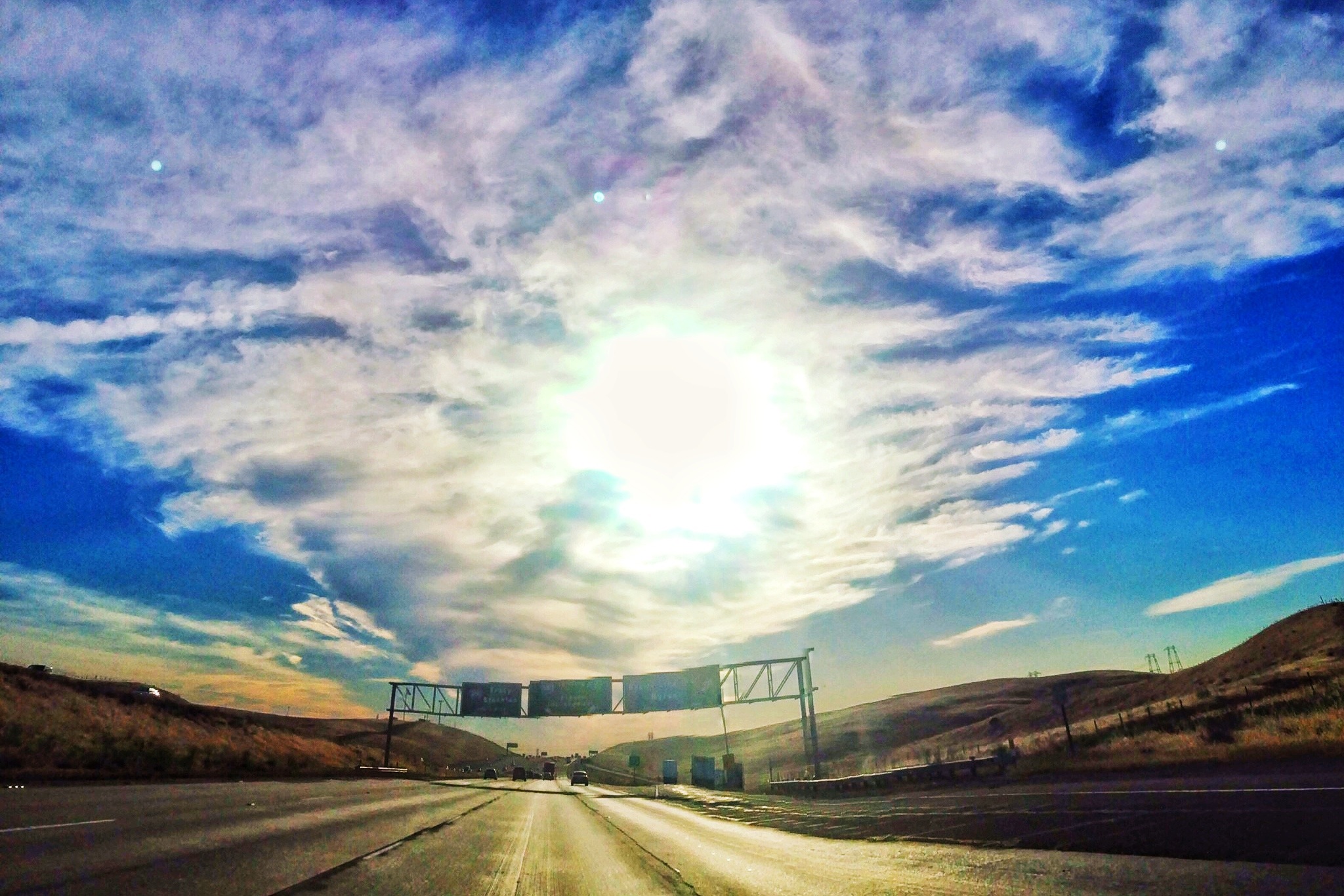
Interstate 580, eastbound down

whats wrong with my heart?
Tub View

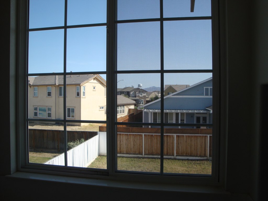
Window view
after eagle's run

View from the train

Sunset in Tracy

20121209-DSC04377.jpg
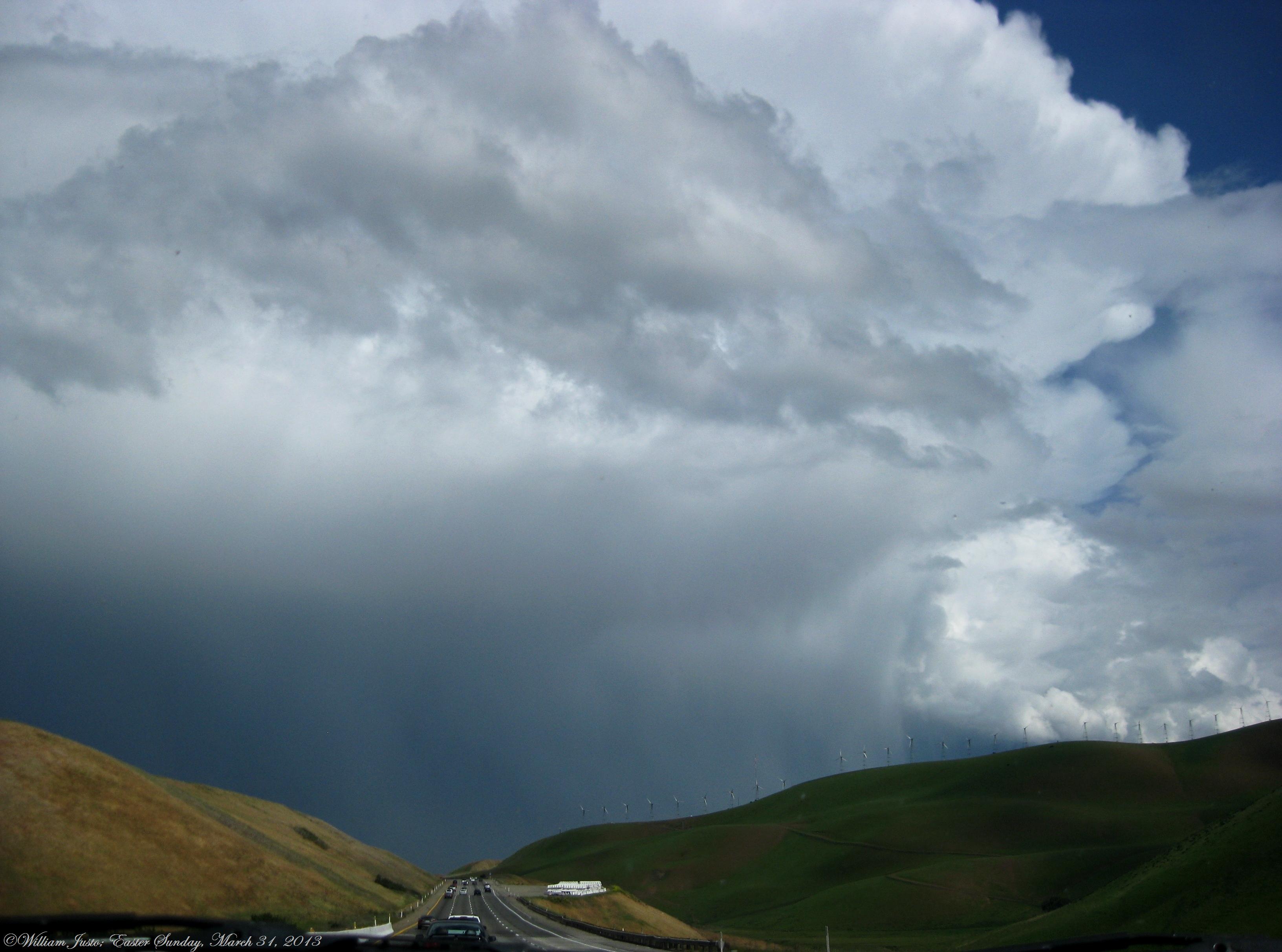
Fully Grown, Healthy Thunderstorm Cell, Looks Like A Severe Cell, Over Tracy, CA!! (3-31-13) Photo #1

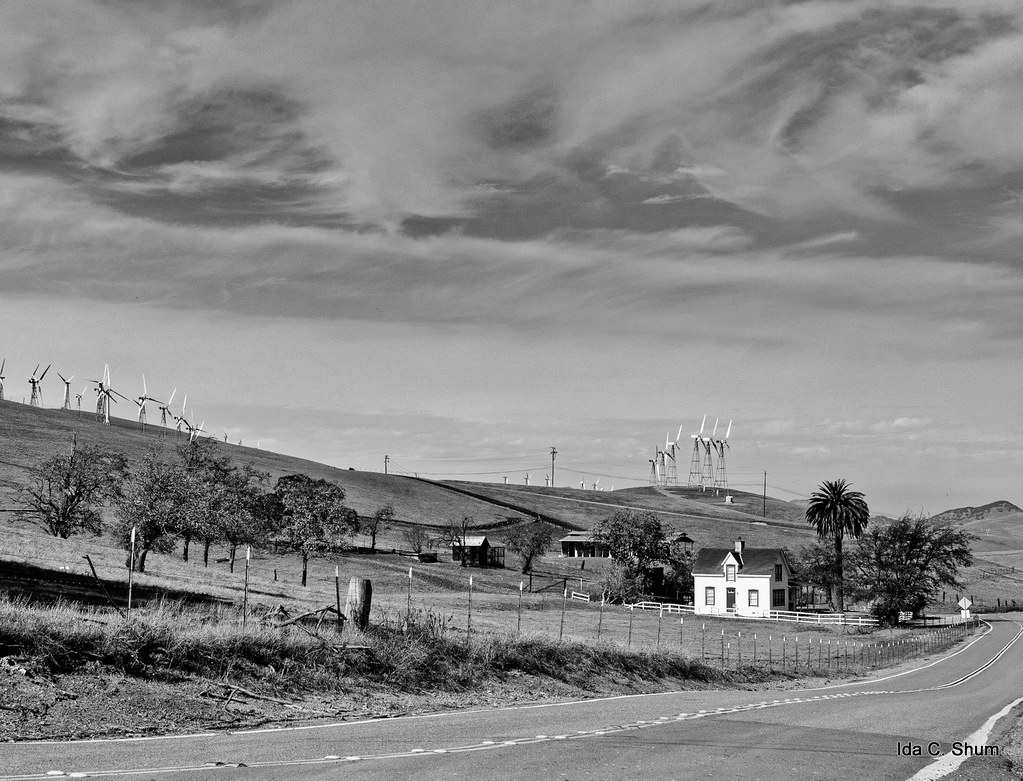
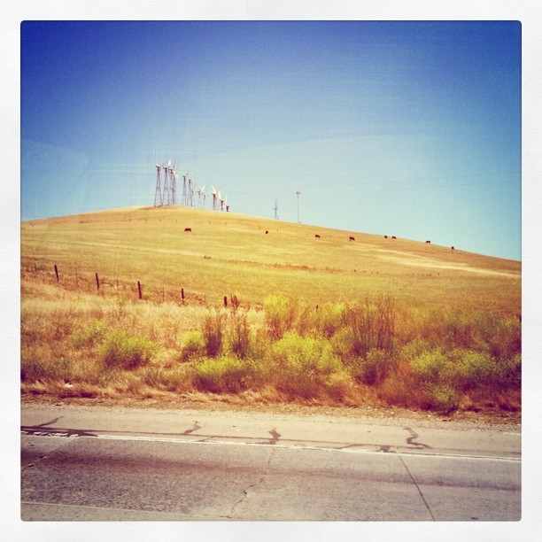
California's largest wind farm, Altamont pass

Race Against Time

the windy valley
Tres Vaqueros views
Radar jammers

giant jesus saves

fading light
altamont light
The Buzz Cut

Windmilling about

God's Country , Byron California

Wind Farm

Ablaze, Discovery Bay California

Altamont Pass Wind Turbine
0P65_1131-4

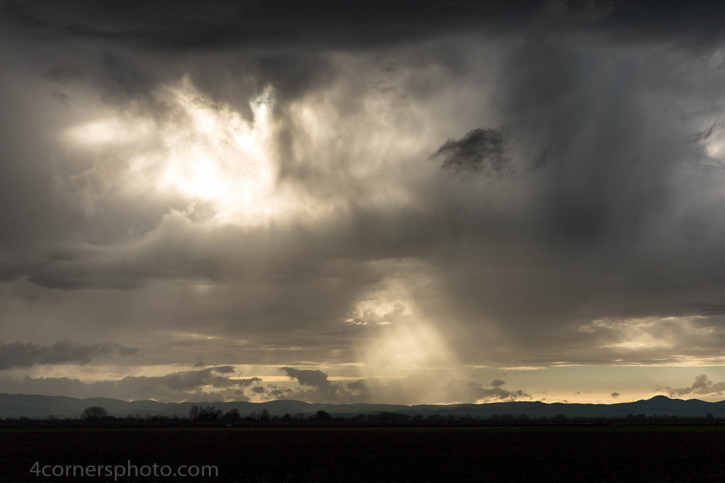
hungry clouds

Windmills at Altamont
Thunderstorm and Vineyard, San Joaquin County, CA

charles brush's turbines

I've been to
On The Way Home no. 1

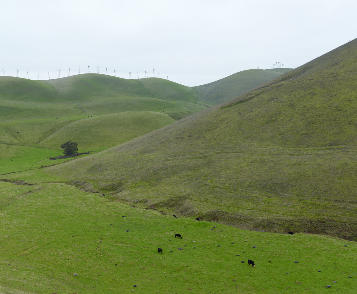
Grazing Cattle, Alameda County, CA
Crepuscular Rays, San Joaquin County, CA

DSC08388-001
Cows!

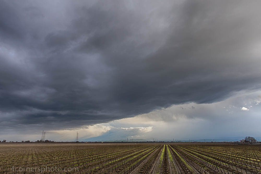
Autumn Thunderstorm, San Joaquin County, CA

Green layers
Topographic Map of Wicklund Village, Mountain House, CA, USA
Find elevation by address:

Places in Wicklund Village, Mountain House, CA, USA:
Places near Wicklund Village, Mountain House, CA, USA:
Lynn Street
384 Mcleod Ave
Mountain House
Bethany Village
190 S Caballo St
Altamont Village
601 W Pasadena Ave
Questa Village
657 N Colcannon Dr
16261 Redondo Dr
W Patterson Pass Rd, Tracy, CA, USA
1820 Bridle Creek Cir
Crossroads Drive
12272 Bethany Rd
2482 Angora Ct
11689 W Clover Rd
11667 W Clover Rd
1801 Radcliff Ct
1713 Ray Wise Ln
Corral Hollow Road
Recent Searches:
- Elevation of Congressional Dr, Stevensville, MD, USA
- Elevation of Bellview Rd, McLean, VA, USA
- Elevation of Stage Island Rd, Chatham, MA, USA
- Elevation of Shibuya Scramble Crossing, 21 Udagawacho, Shibuya City, Tokyo -, Japan
- Elevation of Jadagoniai, Kaunas District Municipality, Lithuania
- Elevation of Pagonija rock, Kranto 7-oji g. 8"N, Kaunas, Lithuania
- Elevation of Co Rd 87, Jamestown, CO, USA
- Elevation of Tenjo, Cundinamarca, Colombia
- Elevation of Côte-des-Neiges, Montreal, QC H4A 3J6, Canada
- Elevation of Bobcat Dr, Helena, MT, USA