Elevation of W Patterson Pass Rd, Tracy, CA, USA
Location: United States > California > San Joaquin County > Tracy >
Longitude: -121.55432
Latitude: 37.7139777
Elevation: 102m / 335feet
Barometric Pressure: 100KPa
Elevation Map:
Satellite Map:
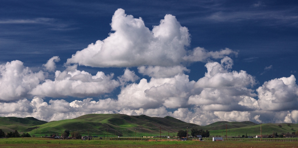
Related Photos:

ALL STAAAARS. (explored #9)
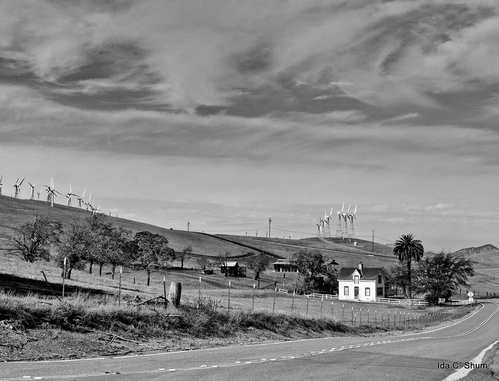
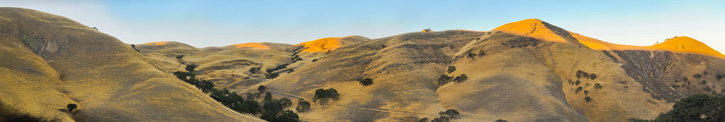
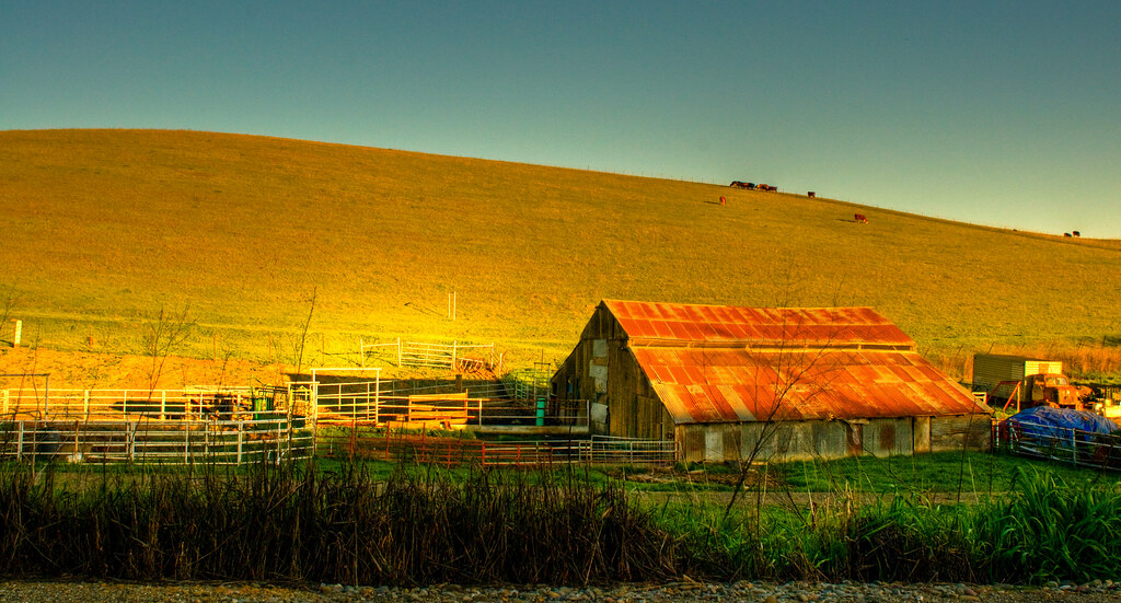
Pastoral California II
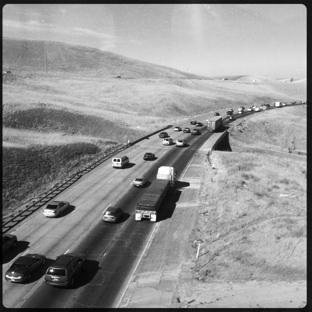
Interstate 580, eastbound down

whats wrong with my heart?

Pink Explosion
Tub View

Sunset in Tracy

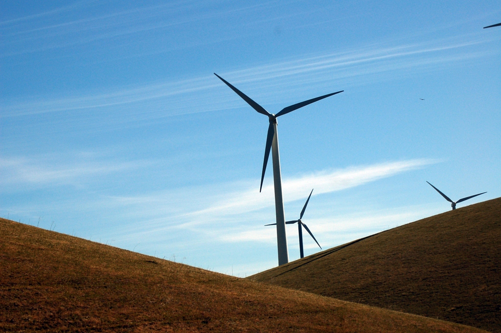
the windy valley

Burrowing Owl
Memoir Avenue
Old School

Enjoying A Sunset In Tracy, CA (3-28-12) Photo #3

Legend of Fall Hollow
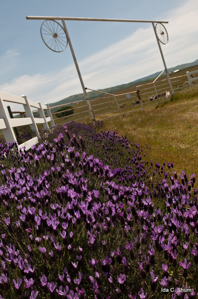
Gated Lavender
after eagle's run

View from the train
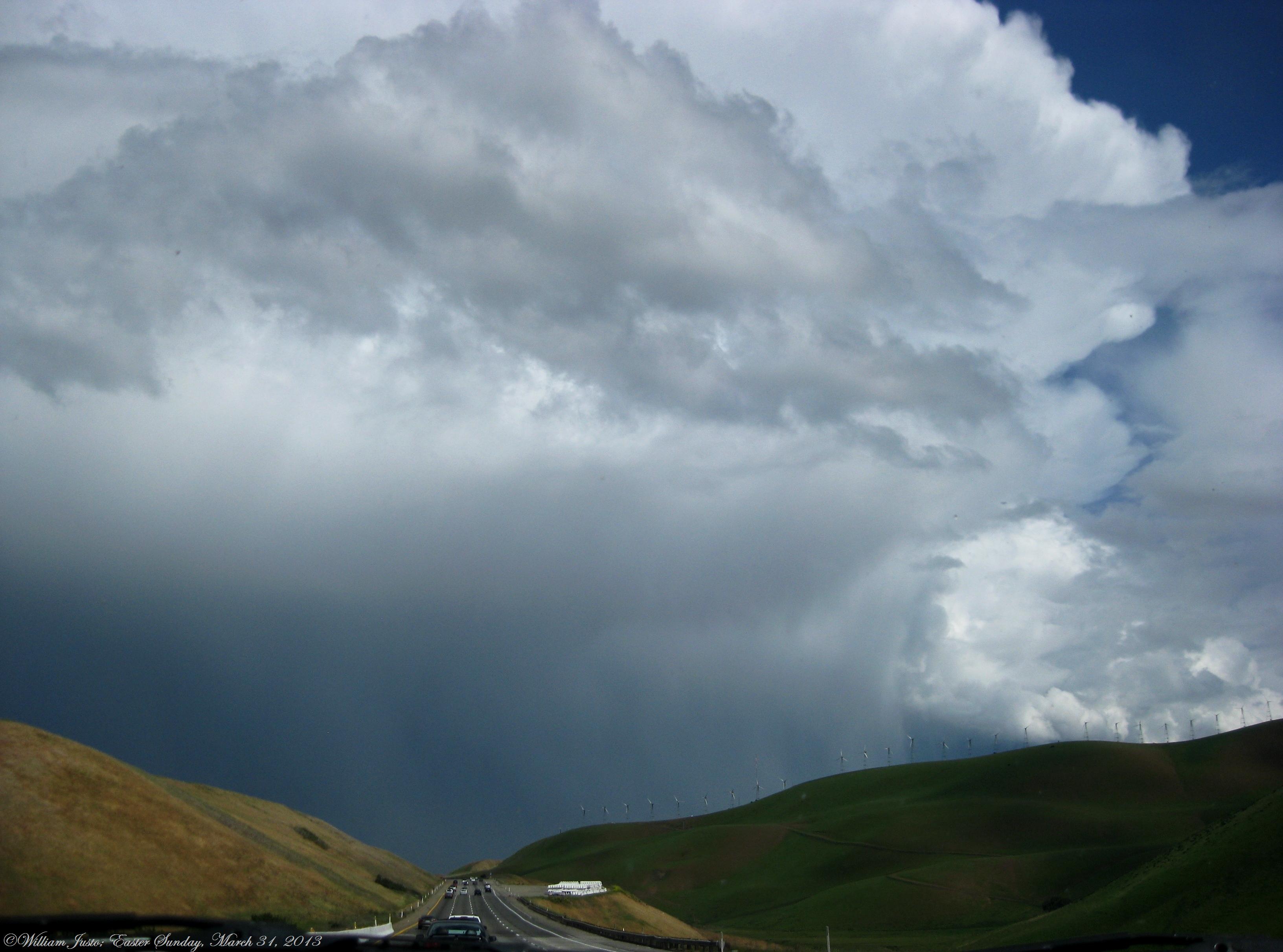
Fully Grown, Healthy Thunderstorm Cell, Looks Like A Severe Cell, Over Tracy, CA!! (3-31-13) Photo #1

20121209-DSC04377.jpg
Race Against Time
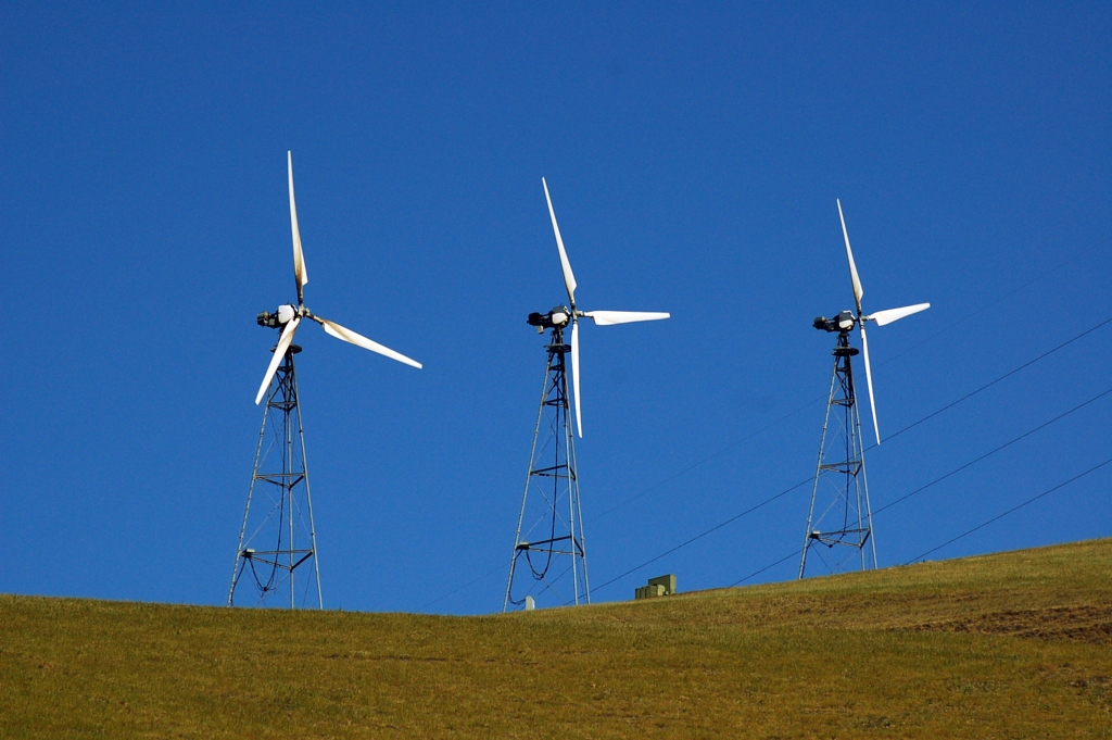
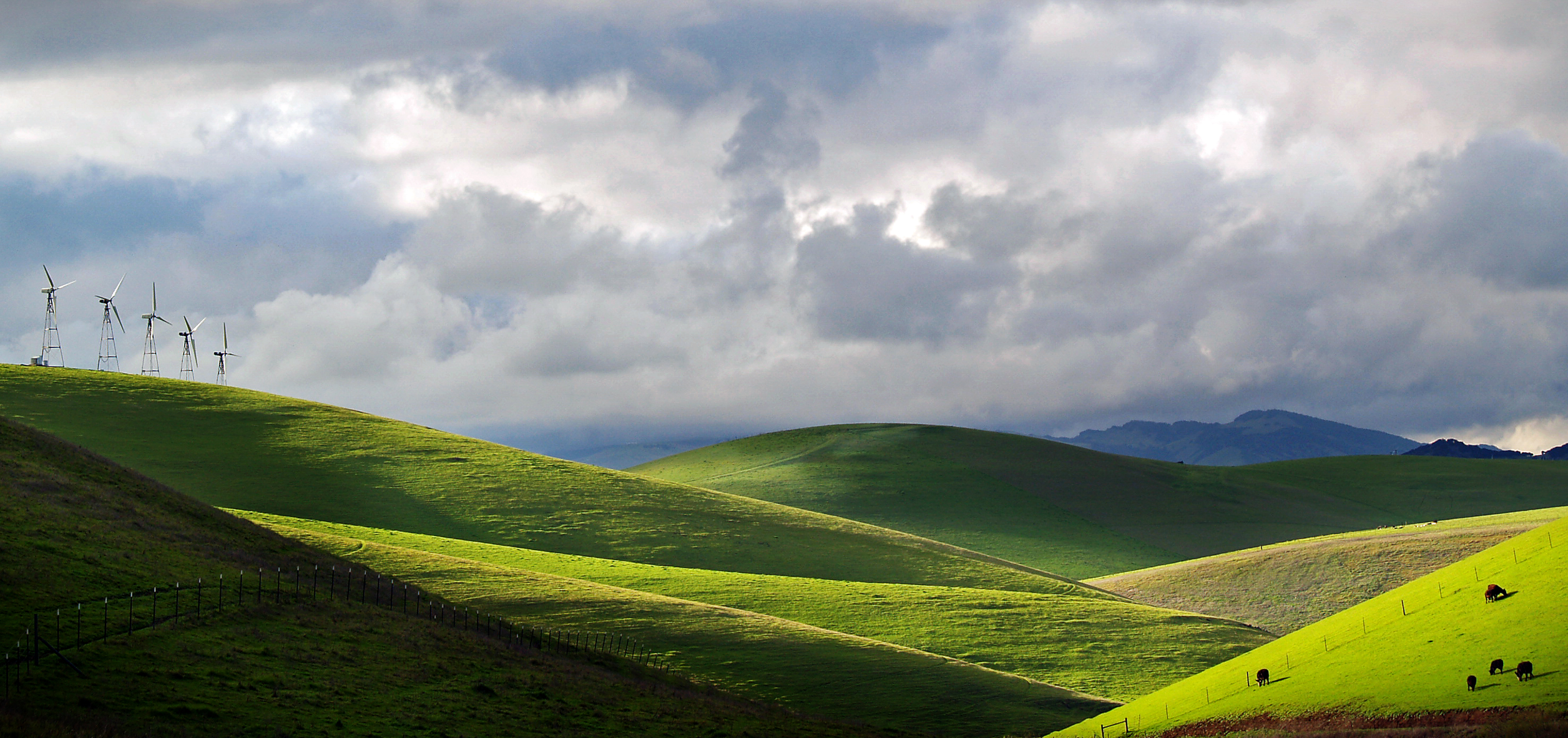
California's largest wind farm, Altamont pass

giant jesus saves
altamont light

Windmills at Altamont
fading light
Big Cloudy Day
The Buzz Cut

Autumn Thunderstorm, San Joaquin County, CA
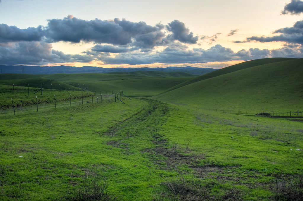
All roads lead to spring

Electric Tower and Twilight, San Joaquin County, CA
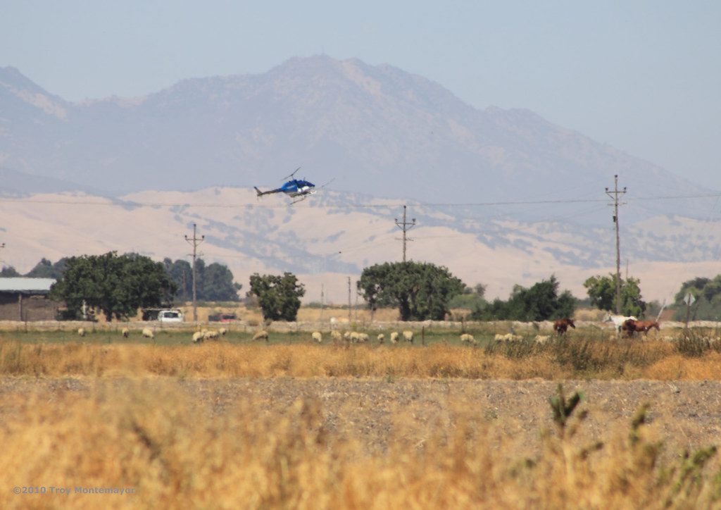
Crop Duster and Mount Diablo, CA
junjul2009 146
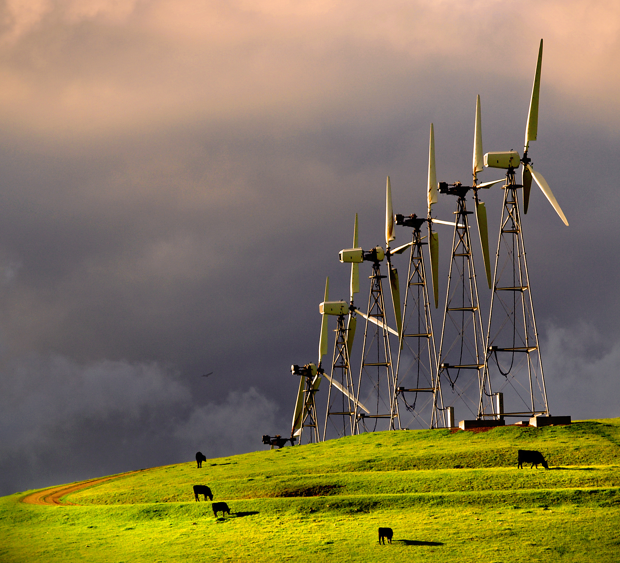
Altamont Pass Wind Turbine

Sunset, Mount Diablo, CA
Pond at Brushy Peak
ACE 8

hungry clouds

I've been to
On The Way Home no. 1
DSC08388-001
Valley - Brushy Peak Park
Topographic Map of W Patterson Pass Rd, Tracy, CA, USA
Find elevation by address:

Places near W Patterson Pass Rd, Tracy, CA, USA:
16261 Redondo Dr
Wicklund Village
Lynn Street
Bethany Village
384 Mcleod Ave
190 S Caballo St
Mountain House
601 W Pasadena Ave
Altamont Village
Questa Village
657 N Colcannon Dr
Crossroads Drive
2482 Angora Ct
1820 Bridle Creek Cir
Corral Hollow Road
1951 Middlefield Dr
1713 Ray Wise Ln
11320 Mountain View Rd
11689 W Clover Rd
11667 W Clover Rd
Recent Searches:
- Elevation of W Granada St, Tampa, FL, USA
- Elevation of Pykes Down, Ivybridge PL21 0BY, UK
- Elevation of Jalan Senandin, Lutong, Miri, Sarawak, Malaysia
- Elevation of Bilohirs'k
- Elevation of 30 Oak Lawn Dr, Barkhamsted, CT, USA
- Elevation of Luther Road, Luther Rd, Auburn, CA, USA
- Elevation of Unnamed Road, Respublika Severnaya Osetiya — Alaniya, Russia
- Elevation of Verkhny Fiagdon, North Ossetia–Alania Republic, Russia
- Elevation of F. Viola Hiway, San Rafael, Bulacan, Philippines
- Elevation of Herbage Dr, Gulfport, MS, USA