Elevation of Whitehaven Rd, Tyaskin, MD, USA
Location: United States > Maryland > Wicomico County > 17, Westside > Tyaskin >
Longitude: -75.794228
Latitude: 38.29547
Elevation: 1m / 3feet
Barometric Pressure: 101KPa
Elevation Map:
Satellite Map:
Related Photos:

riverside dr salisbury

Juvenile RTH

Nest Building: 101

bw version

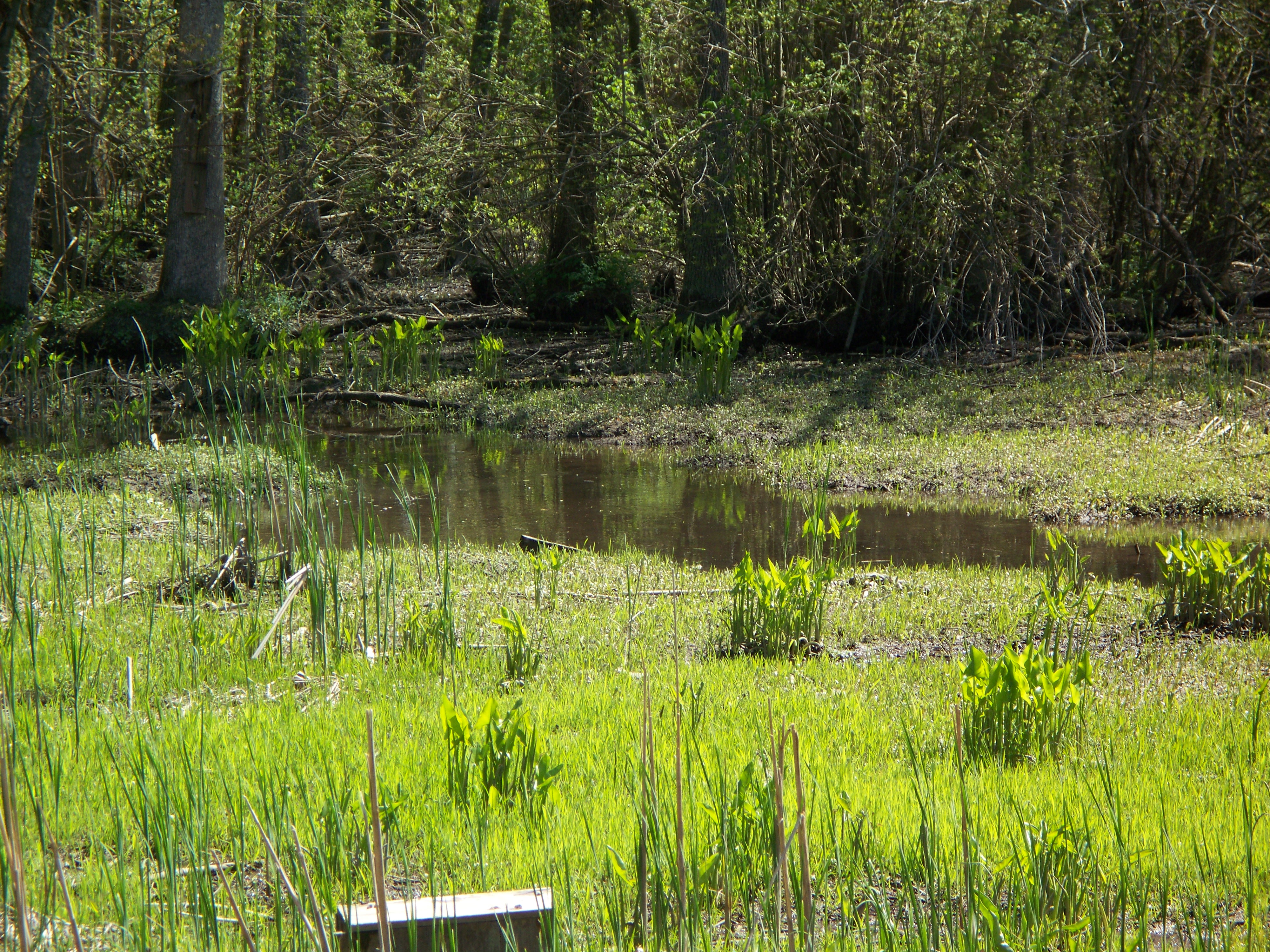
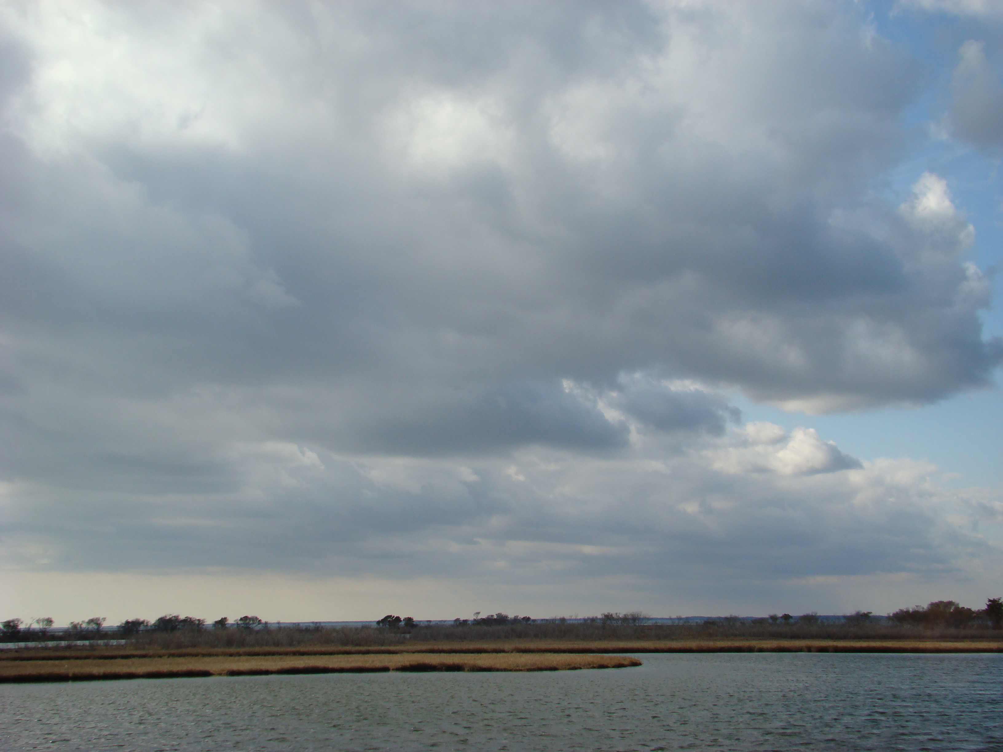
Nanticoke River Wetlands

Tropical Kingbird

Fishing Lesson

Pemberton Hall, 1741

Storm and Mist
'Ats a lot of blue, eh?

A door in the wall

Before barbed wire

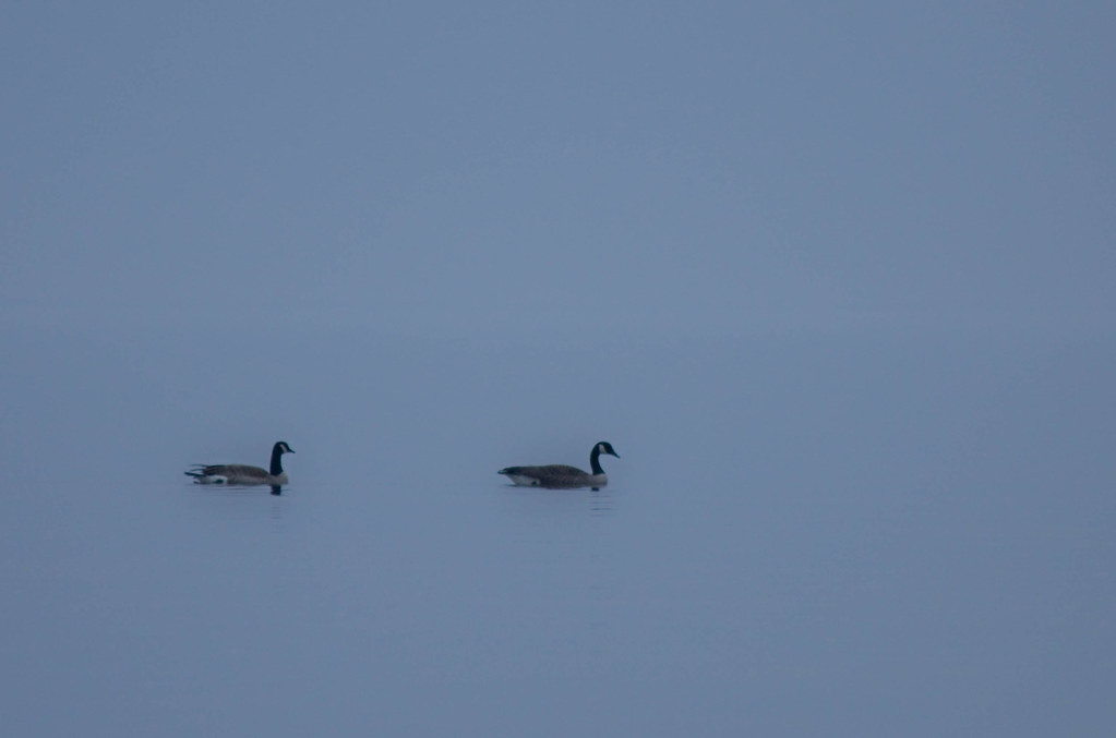
Goose pair and goslings
Eternal View
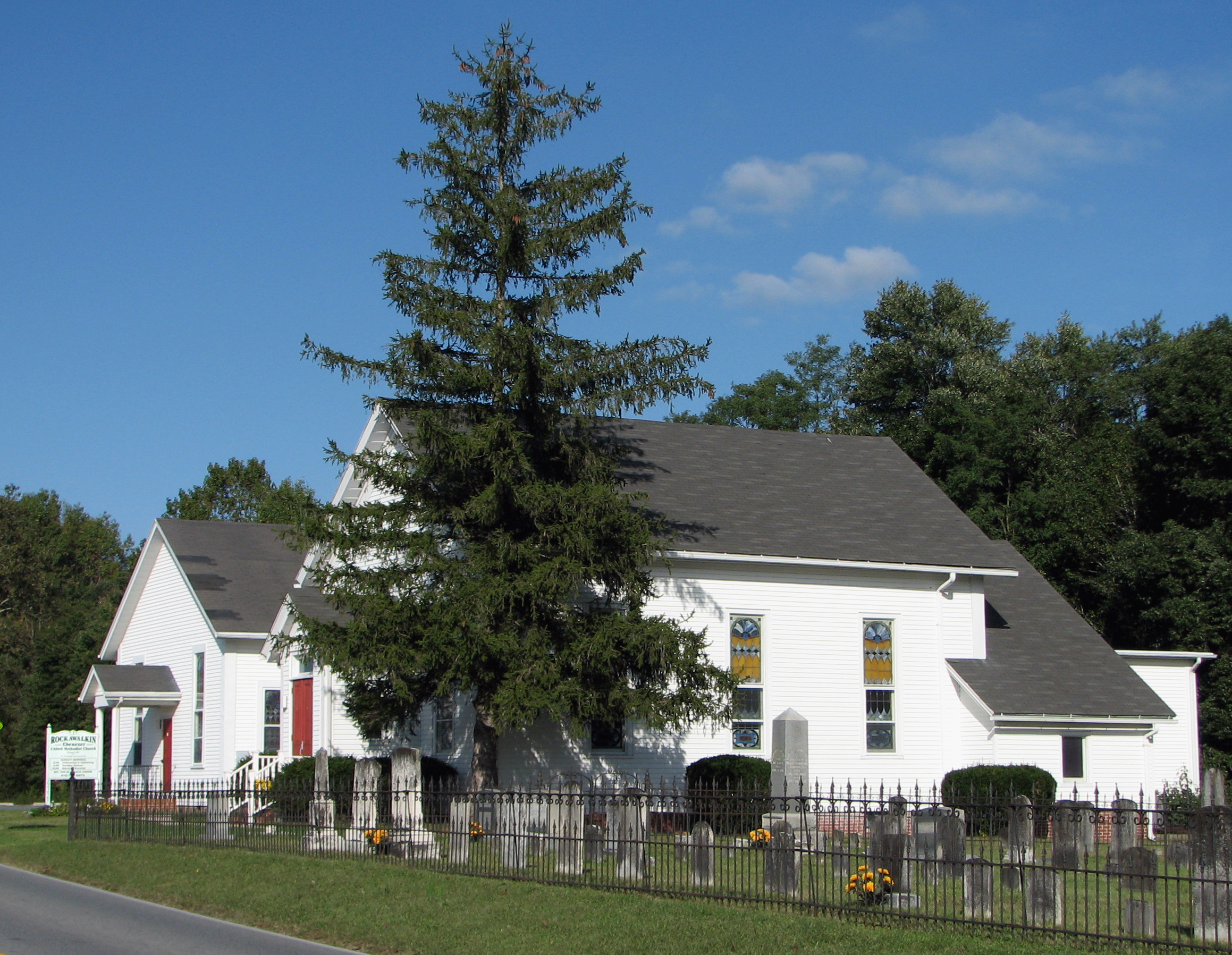
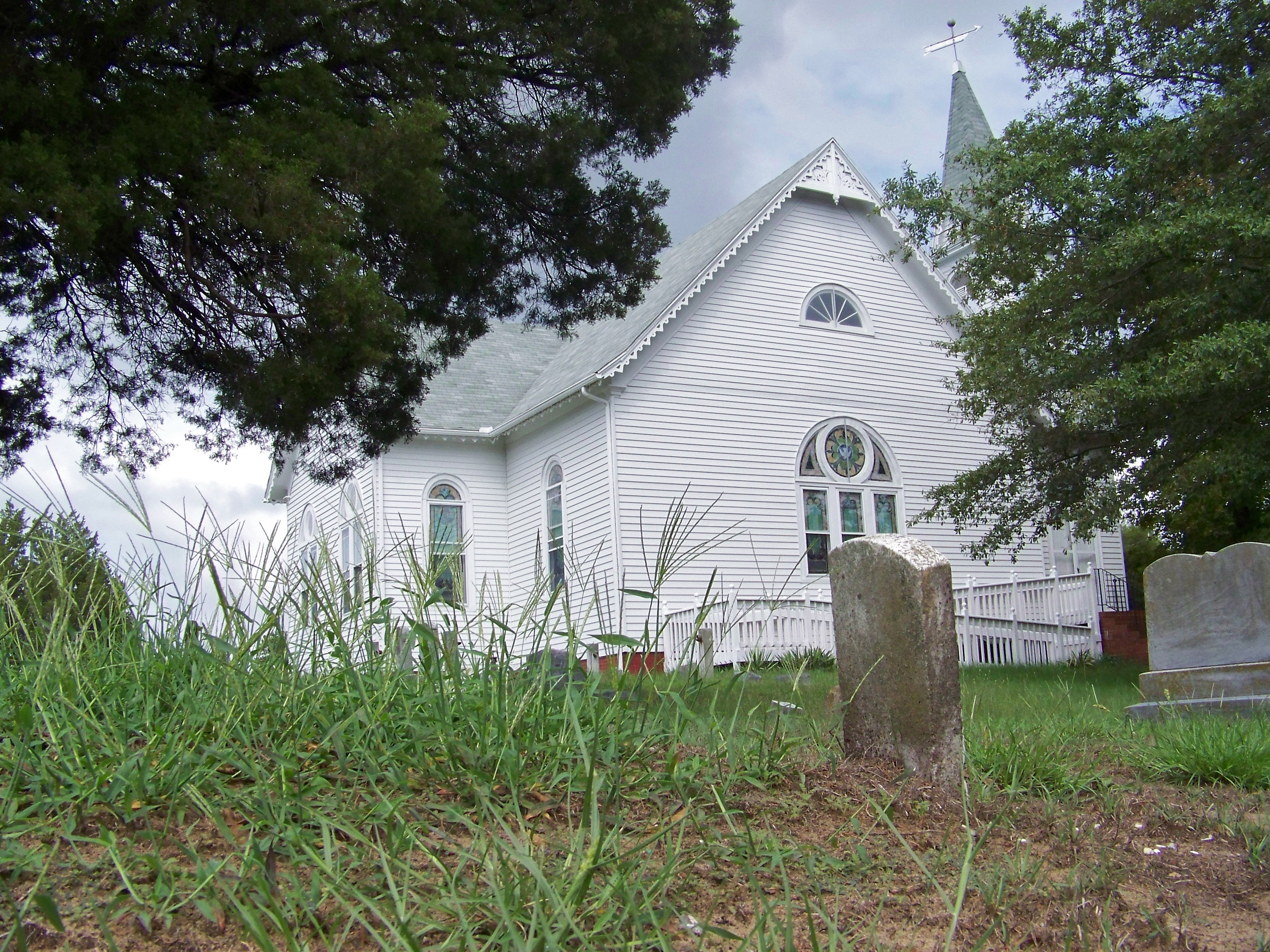
Rockawalkin United Methodist Church, 1874

On Peggy's Farm

Summer Dayz

Sunset 4

Sunset 1
Marsh at Pemberton Historic Park

Sunset 5

#3699 - silo_and_barn
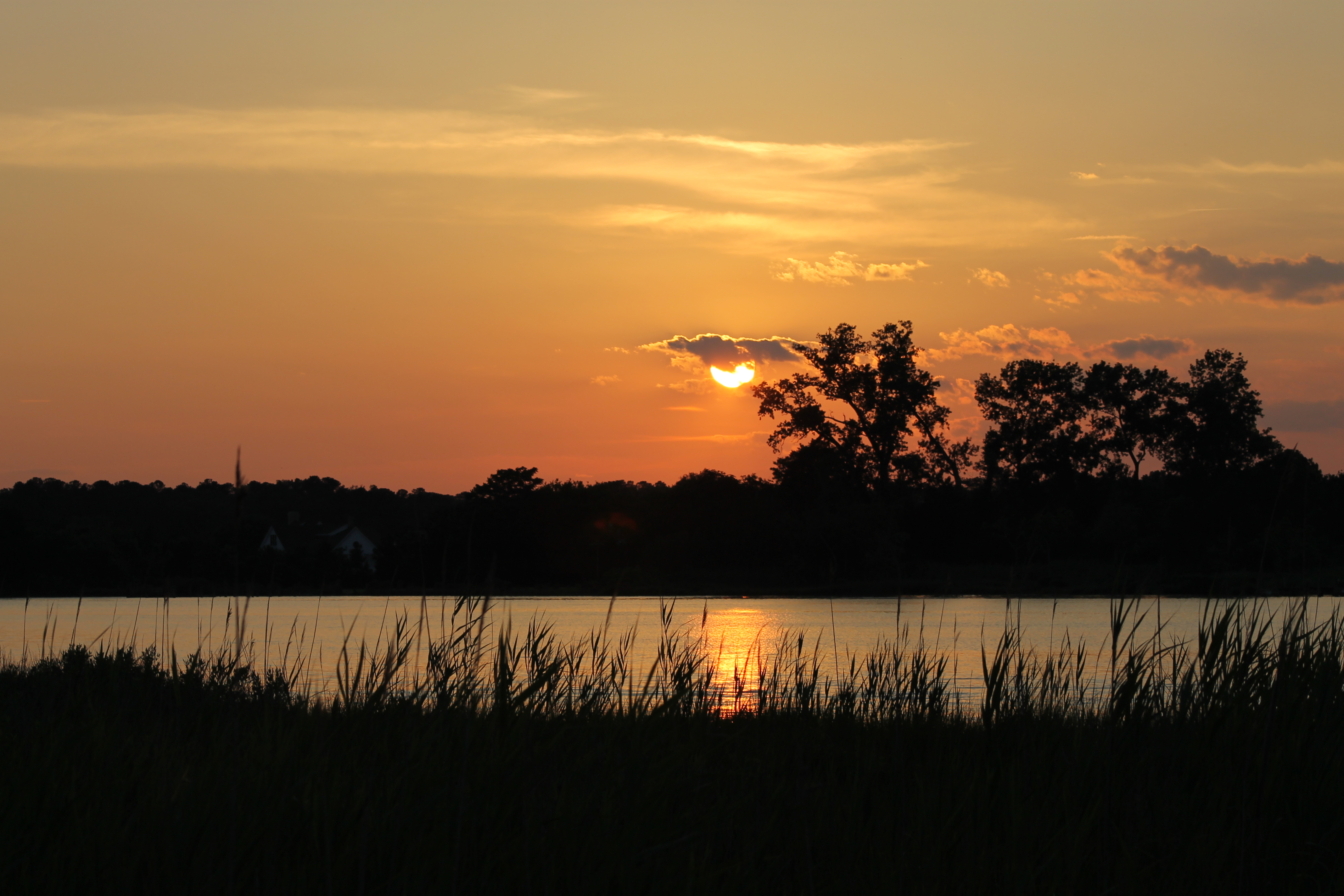
Sunset 3

Sunset 2
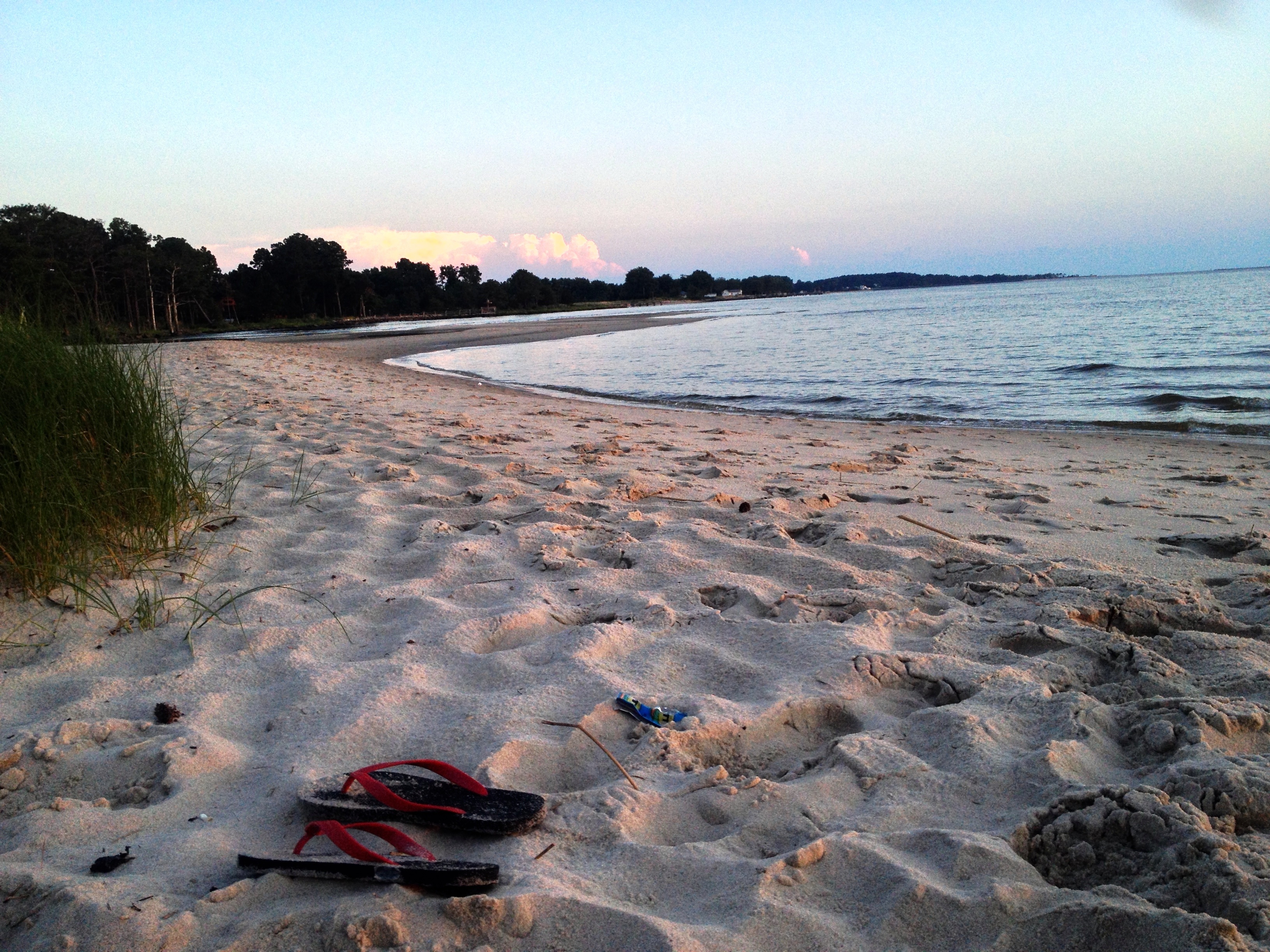
chesapeake bay beach

colorado horses

summer dayz
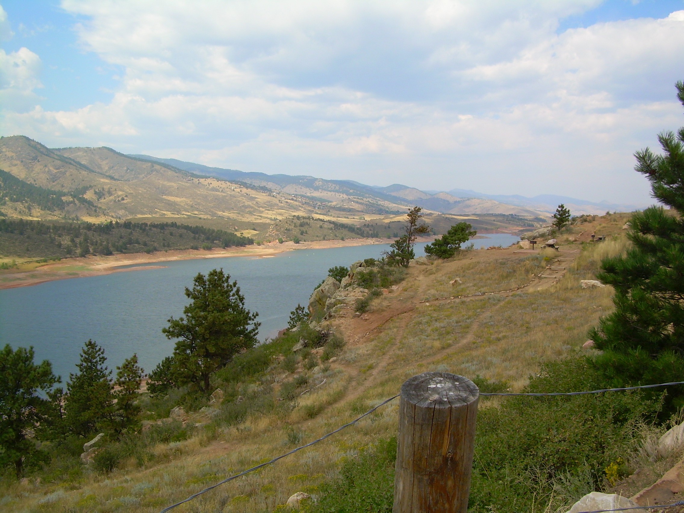
colorado scenery 2

Assateague Horse and Landscape

Field at Night
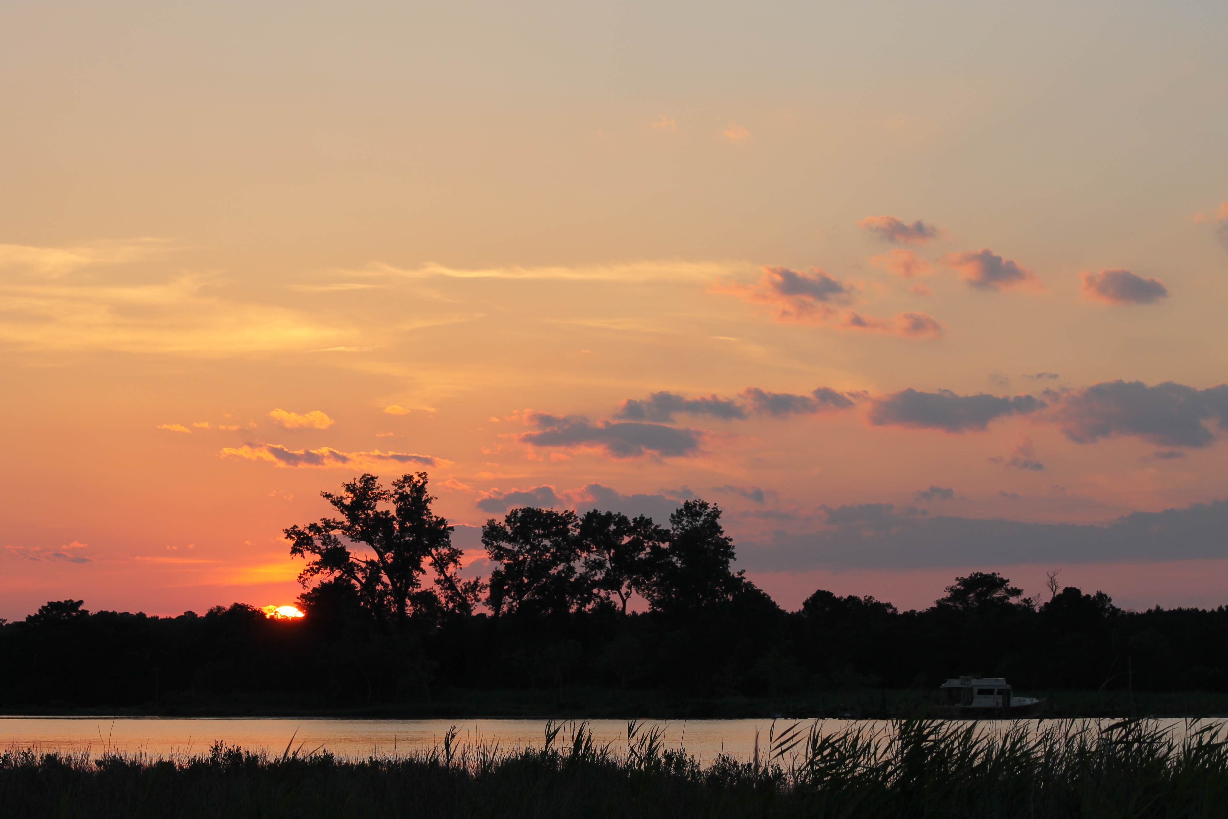
Sunset 6
Assateague Landscape

Whitehaven, Maryland, 2011

Nature Walk

2012-12-21 Elliott Island Rd 3371_2034
Topographic Map of Whitehaven Rd, Tyaskin, MD, USA
Find elevation by address:

Places near Whitehaven Rd, Tyaskin, MD, USA:
2916 Whitehaven Rd
Whitehaven
Clara Rd, Tyaskin, MD, USA
17, Westside
Steele Dr, Tyaskin, MD, USA
4111 Rivermere Ln
5, Mount Vernon
Tyaskin, MD, USA
22198 Nanticoke Rd
Mount Vernon
Polks Rd, Princess Anne, MD, USA
26599 Mt Vernon Rd
Cooley Rd, Princess Anne, MD, USA
29622 Polks Rd
20980 Nanticoke Rd
Bivalve
4480 Sunset Dr
20623 Cove Rd
20545 Nanticoke Rd
Deal Island Rd, Princess Anne, MD, USA
Recent Searches:
- Elevation of Woodland Oak Pl, Thousand Oaks, CA, USA
- Elevation of Brownsdale Rd, Renfrew, PA, USA
- Elevation of Corcoran Ln, Suffolk, VA, USA
- Elevation of Mamala II, Sariaya, Quezon, Philippines
- Elevation of Sarangdanda, Nepal
- Elevation of 7 Waterfall Way, Tomball, TX, USA
- Elevation of SW 57th Ave, Portland, OR, USA
- Elevation of Crocker Dr, Vacaville, CA, USA
- Elevation of Pu Ngaol Community Meeting Hall, HWHM+3X7, Krong Saen Monourom, Cambodia
- Elevation of Royal Ontario Museum, Queens Park, Toronto, ON M5S 2C6, Canada