Elevation of Tyaskin, MD, USA
Location: United States > Maryland > Wicomico County > 17, Westside > Tyaskin >
Longitude: -75.841775
Latitude: 38.2814943
Elevation: 1m / 3feet
Barometric Pressure: 101KPa
Elevation Map:
Satellite Map:
Related Photos:
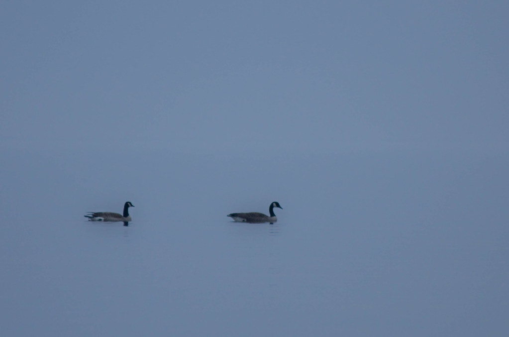
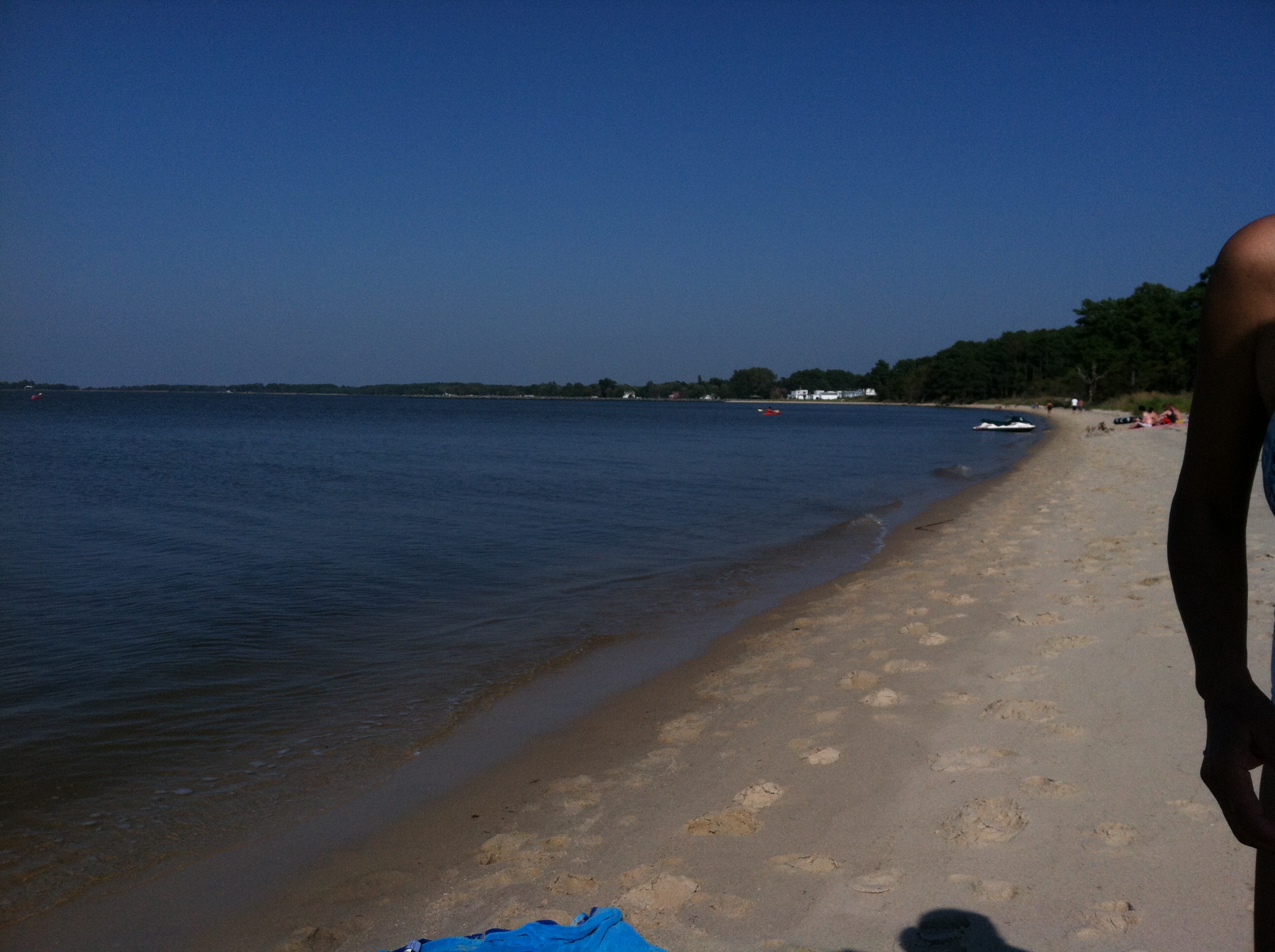
'Ats a lot of blue, eh?

Nanticoke River Wetlands
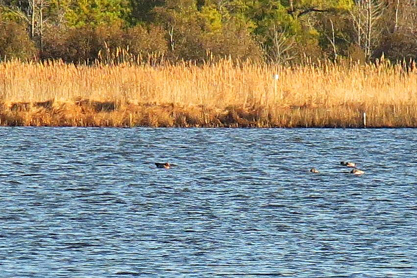
Eurasian Wigeon

Tropical Kingbird

Trail view two

Eternal View

Trail view

Whitehaven, Maryland, 2011

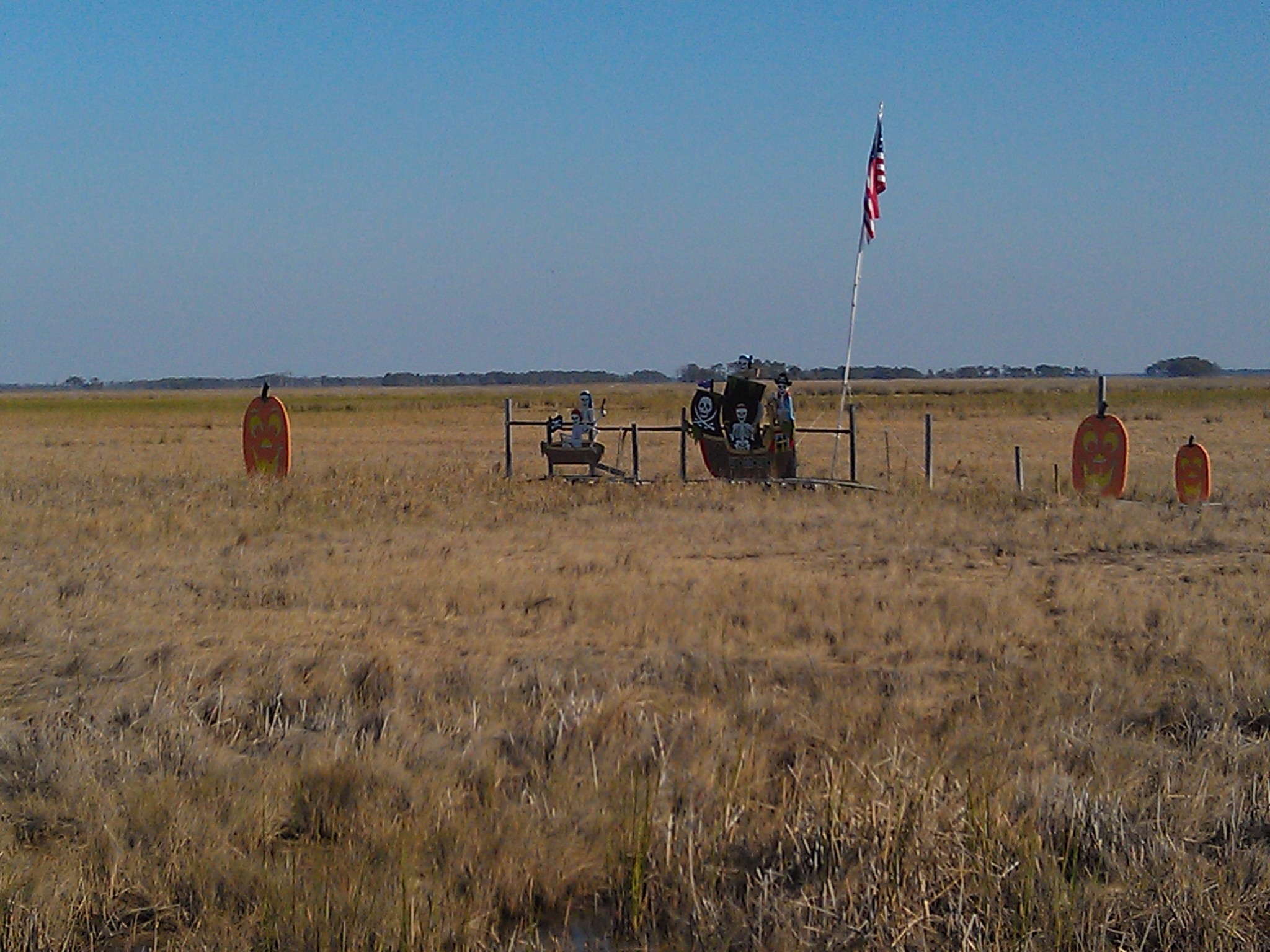
Field at Night

Dorchester County, Md.
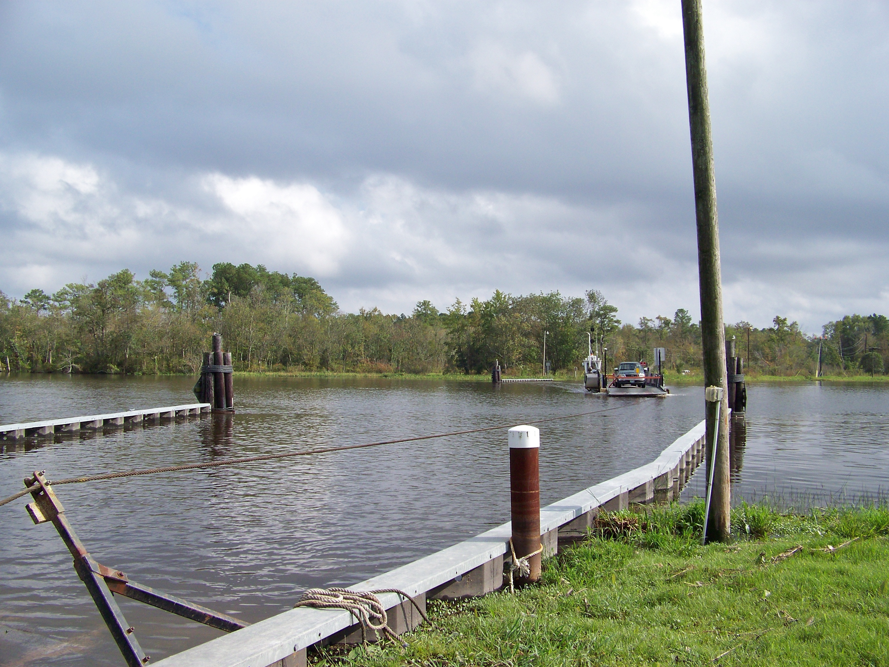
Retrun Trip

#sunset

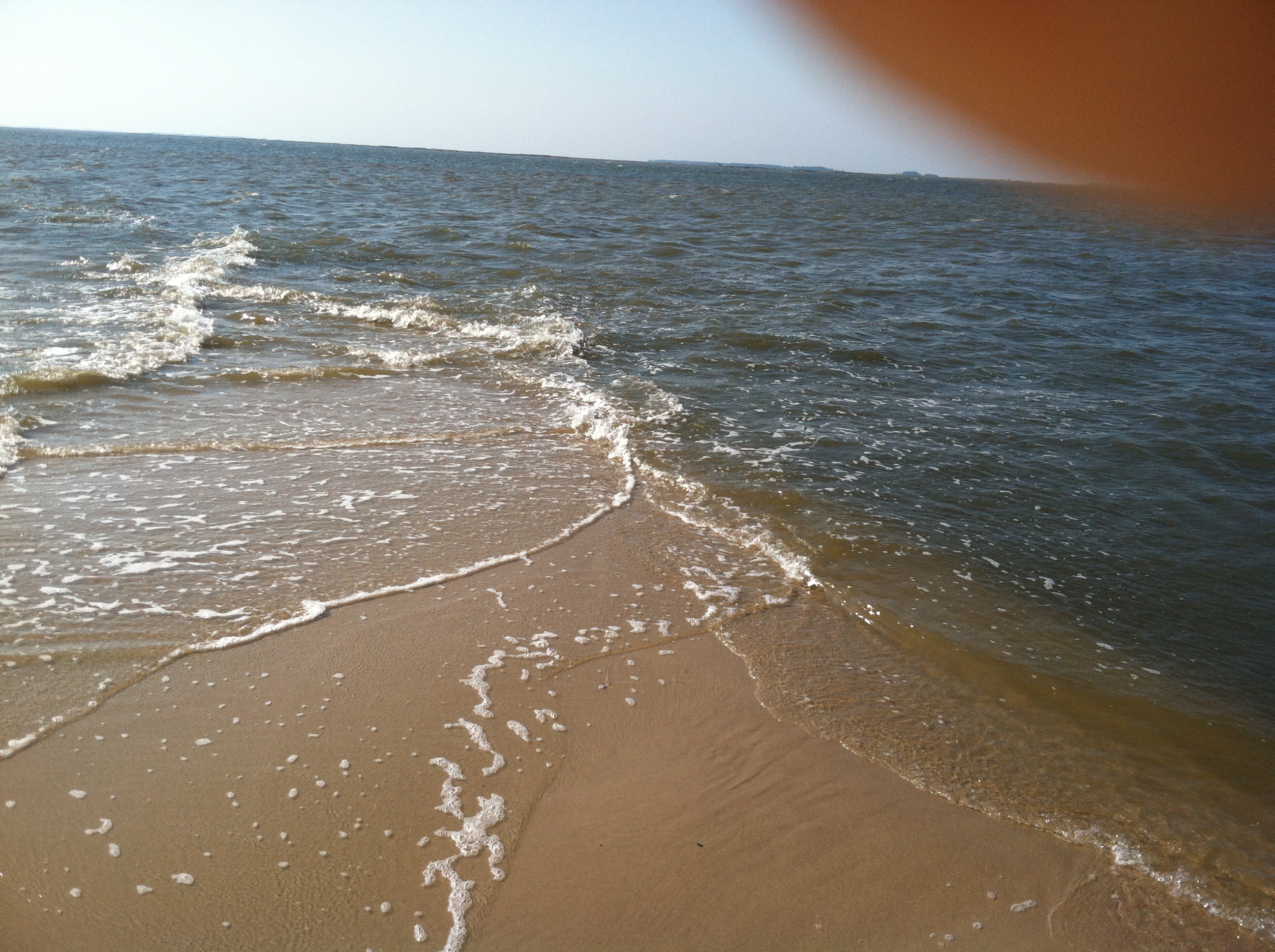
Roaring Point Sept 22 2012 040
Roaring Point Sept 22 2012 037

Sunset 1

Sunset 4

Sunset 5
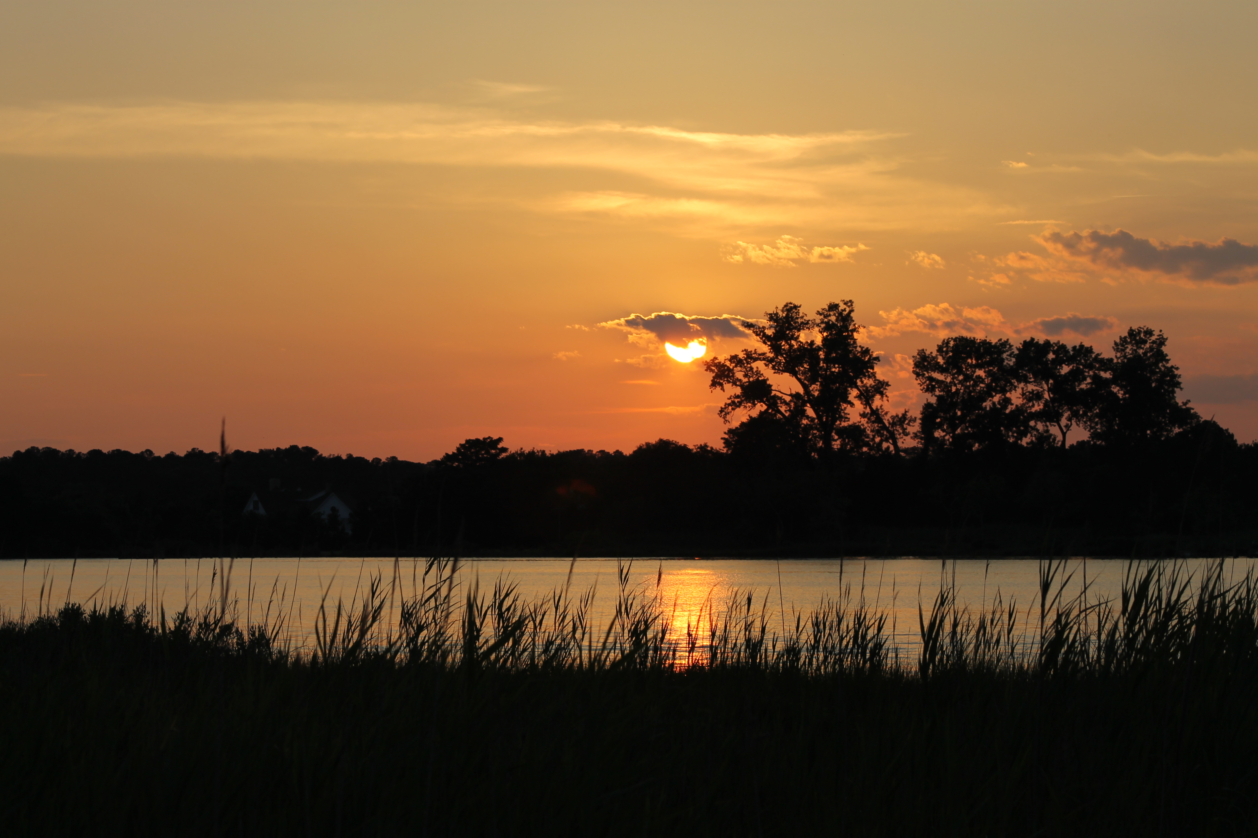
Sunset 3

Sunset 2

Poultry Barns in Wicomico County, Md.

summer dayz
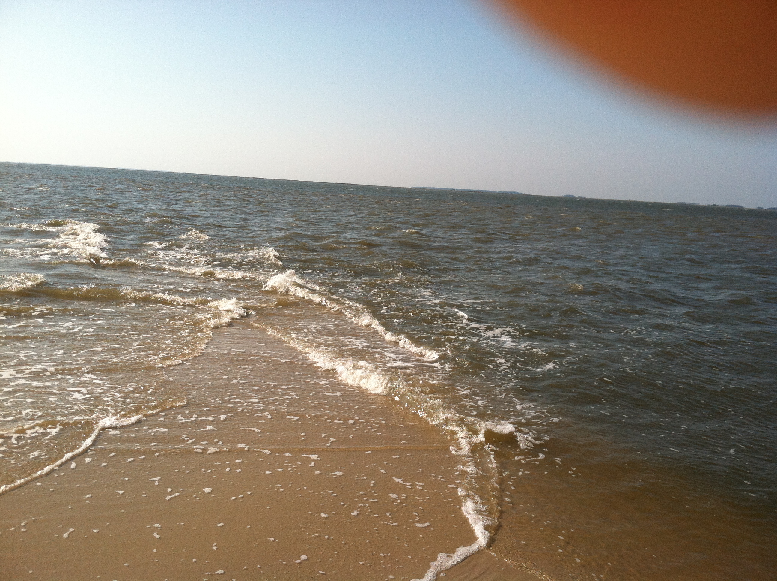
Roaring Point Sept 22 2012 038

Rewastico Creek
20111102 Ride from Vienna to Elliot Island
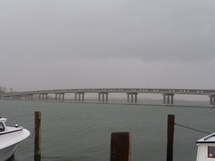
Deal Island Bridge

Roaring Point Sept 22 2012 015
Roaring Point Sept 22 2012 005
Roaring Point Sept 22 2012032
Topographic Map of Tyaskin, MD, USA
Find elevation by address:

Places near Tyaskin, MD, USA:
Clara Rd, Tyaskin, MD, USA
22198 Nanticoke Rd
Steele Dr, Tyaskin, MD, USA
17, Westside
26599 Mt Vernon Rd
Mount Vernon
2916 Whitehaven Rd
Whitehaven Rd, Tyaskin, MD, USA
Whitehaven
20980 Nanticoke Rd
Bivalve
4480 Sunset Dr
20623 Cove Rd
20545 Nanticoke Rd
Nanticoke
Nanticoke Rd, Nanticoke, MD, USA
20399 Chesapeake Dr
Nanticoke Dr, Nanticoke, MD, USA
5, Mount Vernon
Deal Island Rd, Princess Anne, MD, USA
Recent Searches:
- Elevation of Lampiasi St, Sarasota, FL, USA
- Elevation of Elwyn Dr, Roanoke Rapids, NC, USA
- Elevation of Congressional Dr, Stevensville, MD, USA
- Elevation of Bellview Rd, McLean, VA, USA
- Elevation of Stage Island Rd, Chatham, MA, USA
- Elevation of Shibuya Scramble Crossing, 21 Udagawacho, Shibuya City, Tokyo -, Japan
- Elevation of Jadagoniai, Kaunas District Municipality, Lithuania
- Elevation of Pagonija rock, Kranto 7-oji g. 8"N, Kaunas, Lithuania
- Elevation of Co Rd 87, Jamestown, CO, USA
- Elevation of Tenjo, Cundinamarca, Colombia