Elevation of 17, Westside, MD, USA
Location: United States > Maryland > Wicomico County >
Longitude: -75.830153
Latitude: 38.3110708
Elevation: 2m / 7feet
Barometric Pressure: 101KPa
Elevation Map:
Satellite Map:
Related Photos:

Storm and Mist
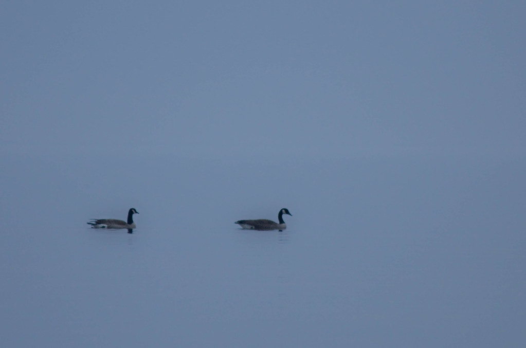
'Ats a lot of blue, eh?

Tropical Kingbird

Eternal View

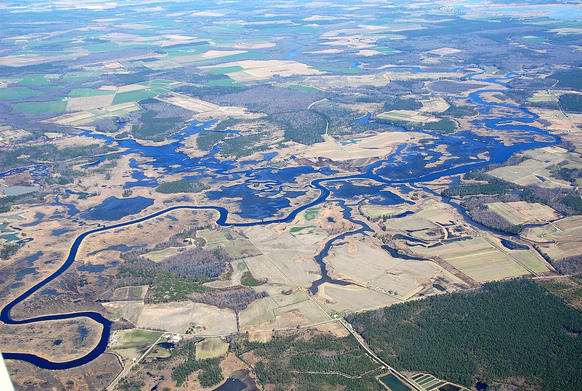
Nanticoke River Wetlands

Nanticoke River Wetlands

Nanticoke River Wetlands
Bird's Eye View
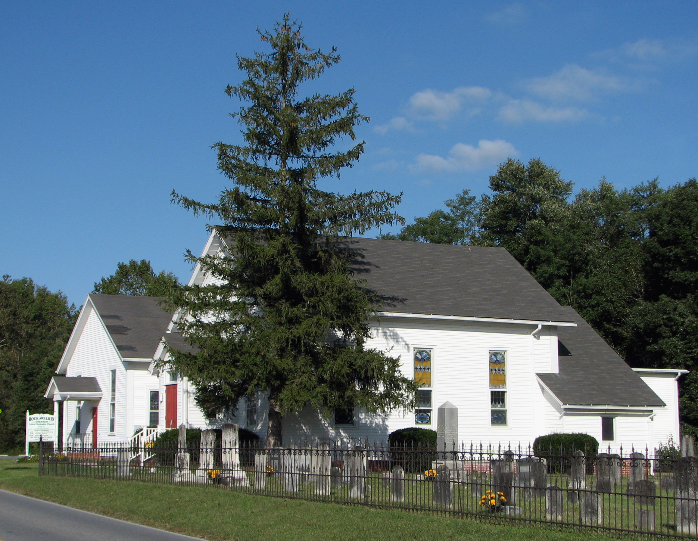
Rockawalkin United Methodist Church, 1874

On Peggy's Farm

Sunset 1

Summer Dayz

#sunset

Sunset 4

Sunset 5

Sunset 3

Sunset 2

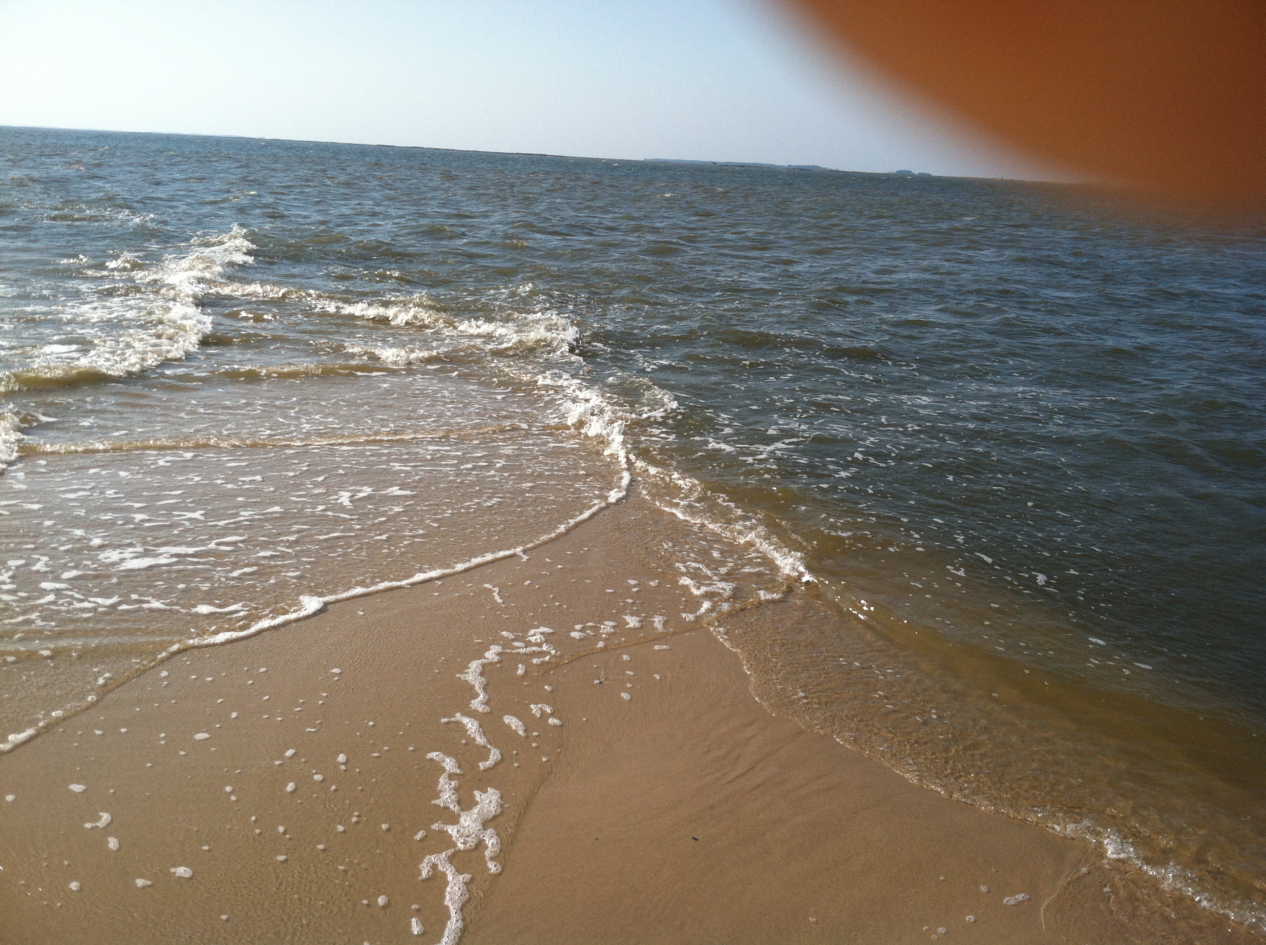
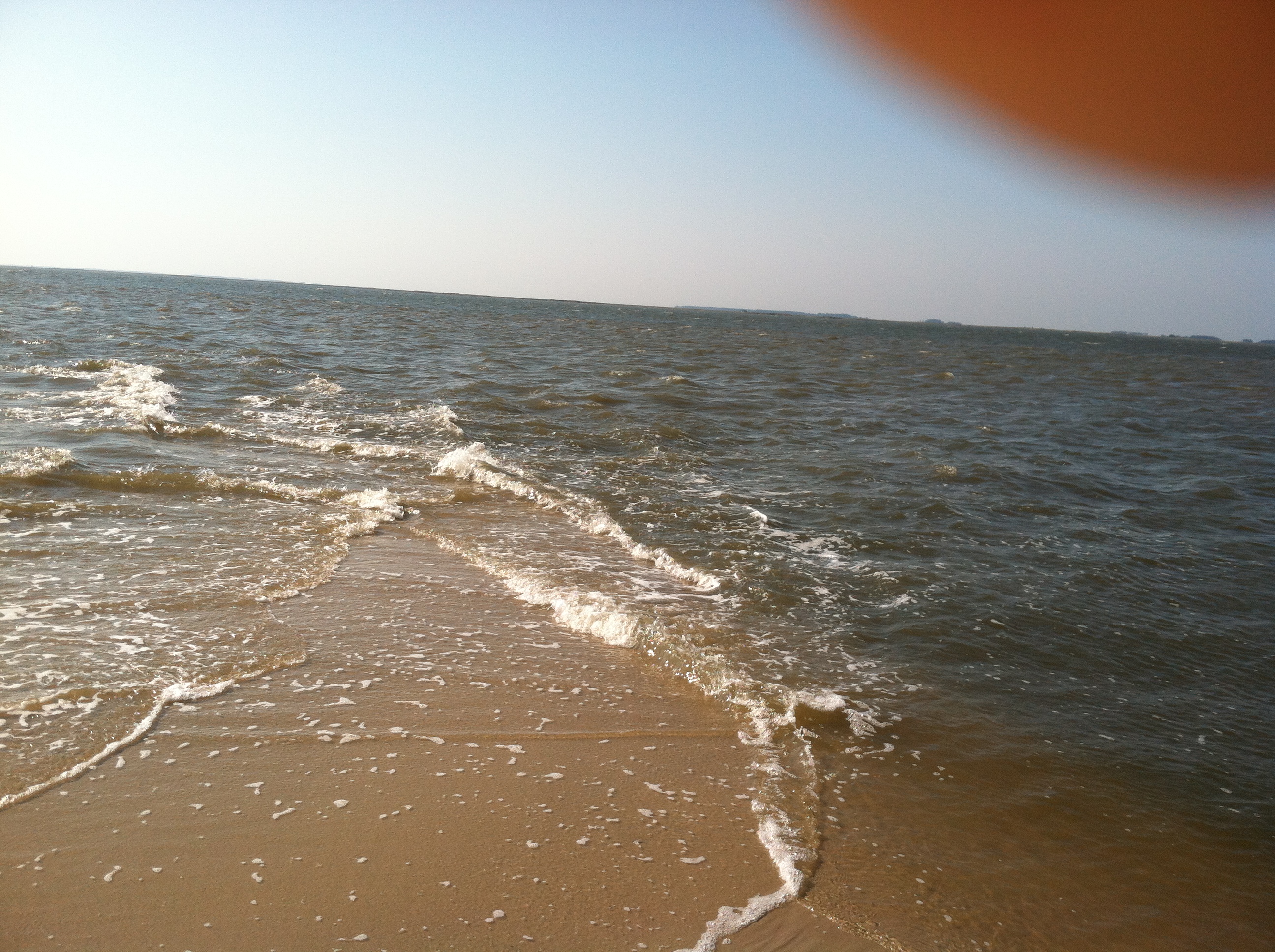
chesapeake bay beach

summer dayz

Field at Night

Sunset 6

Roaring Point Sept 22 2012 040
Roaring Point Sept 22 2012 037

20111102 Ride from Vienna to Elliot Island

Roaring Point 1
Roaring Point Sept 22 2012 038

Whitehaven, Maryland, 2011

Nature Walk
Topographic Map of 17, Westside, MD, USA
Find elevation by address:

Places in 17, Westside, MD, USA:
Places near 17, Westside, MD, USA:
22198 Nanticoke Rd
Tyaskin, MD, USA
Clara Rd, Tyaskin, MD, USA
Whitehaven Rd, Tyaskin, MD, USA
Steele Dr, Tyaskin, MD, USA
2916 Whitehaven Rd
Whitehaven
4480 Sunset Dr
20980 Nanticoke Rd
Bivalve
Mount Vernon
26599 Mt Vernon Rd
20623 Cove Rd
4111 Rivermere Ln
20545 Nanticoke Rd
5, Mount Vernon
Nanticoke
20399 Chesapeake Dr
Nanticoke Dr, Nanticoke, MD, USA
Nanticoke Rd, Nanticoke, MD, USA
Recent Searches:
- Elevation of Corso Fratelli Cairoli, 35, Macerata MC, Italy
- Elevation of Tallevast Rd, Sarasota, FL, USA
- Elevation of 4th St E, Sonoma, CA, USA
- Elevation of Black Hollow Rd, Pennsdale, PA, USA
- Elevation of Oakland Ave, Williamsport, PA, USA
- Elevation of Pedrógão Grande, Portugal
- Elevation of Klee Dr, Martinsburg, WV, USA
- Elevation of Via Roma, Pieranica CR, Italy
- Elevation of Tavkvetili Mountain, Georgia
- Elevation of Hartfords Bluff Cir, Mt Pleasant, SC, USA