Elevation of White Tail Ranch, Ovando, MT, USA
Location: United States > Montana > Ovando >
Longitude: -112.92266
Latitude: 47.062332
Elevation: 1342m / 4403feet
Barometric Pressure: 86KPa
Elevation Map:
Satellite Map:
Related Photos:

5 Plus

Rock and Reel
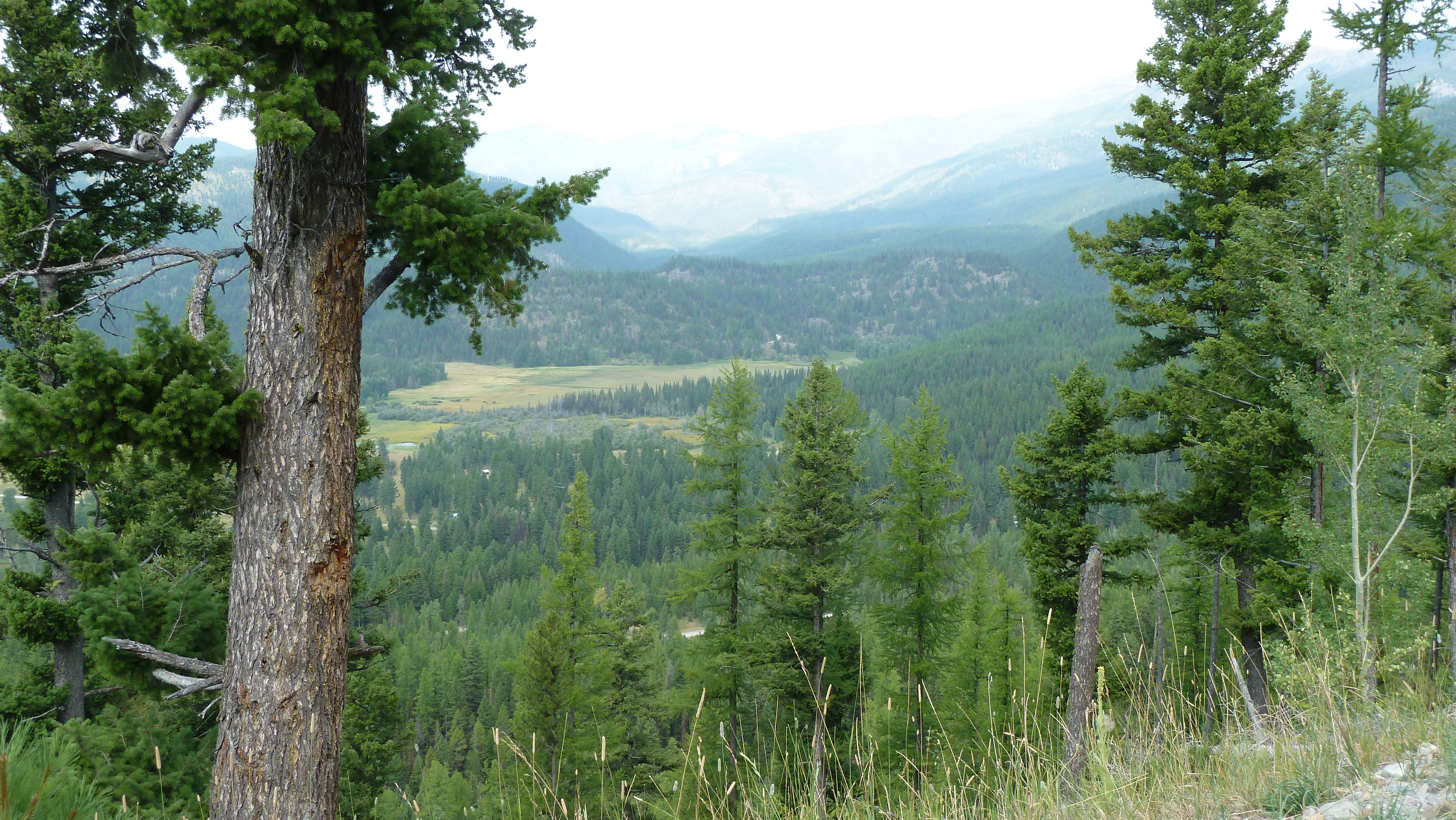
View from Huckleberry Pass
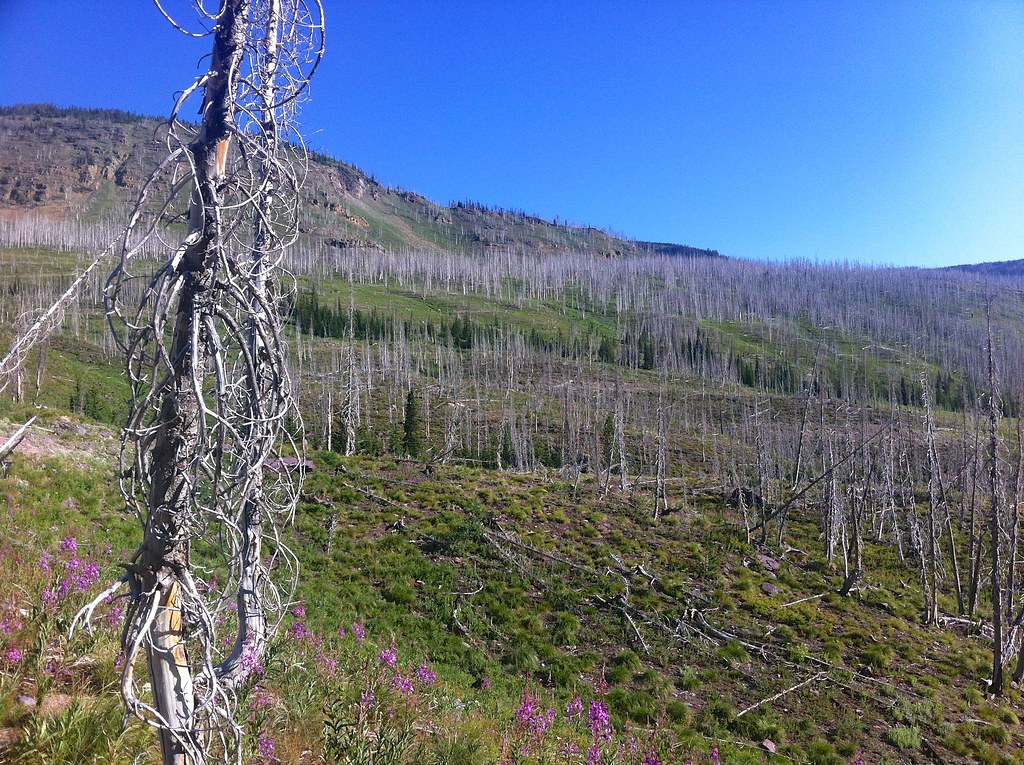
Fire-killed Trees - 3
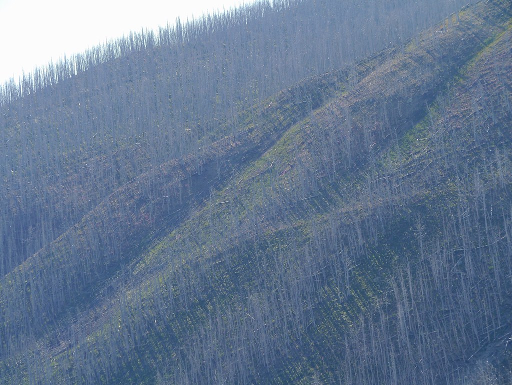
Fire-killed Trees - 2
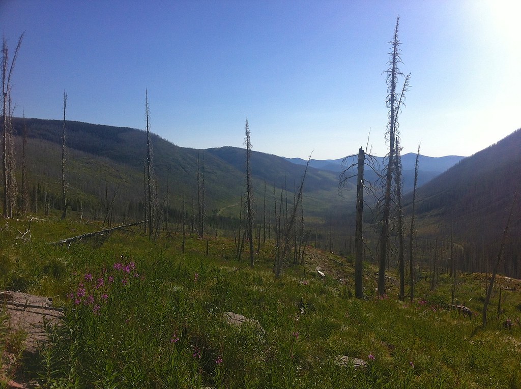
Fire-killed Trees - 6

Fire-killed Trees - 4
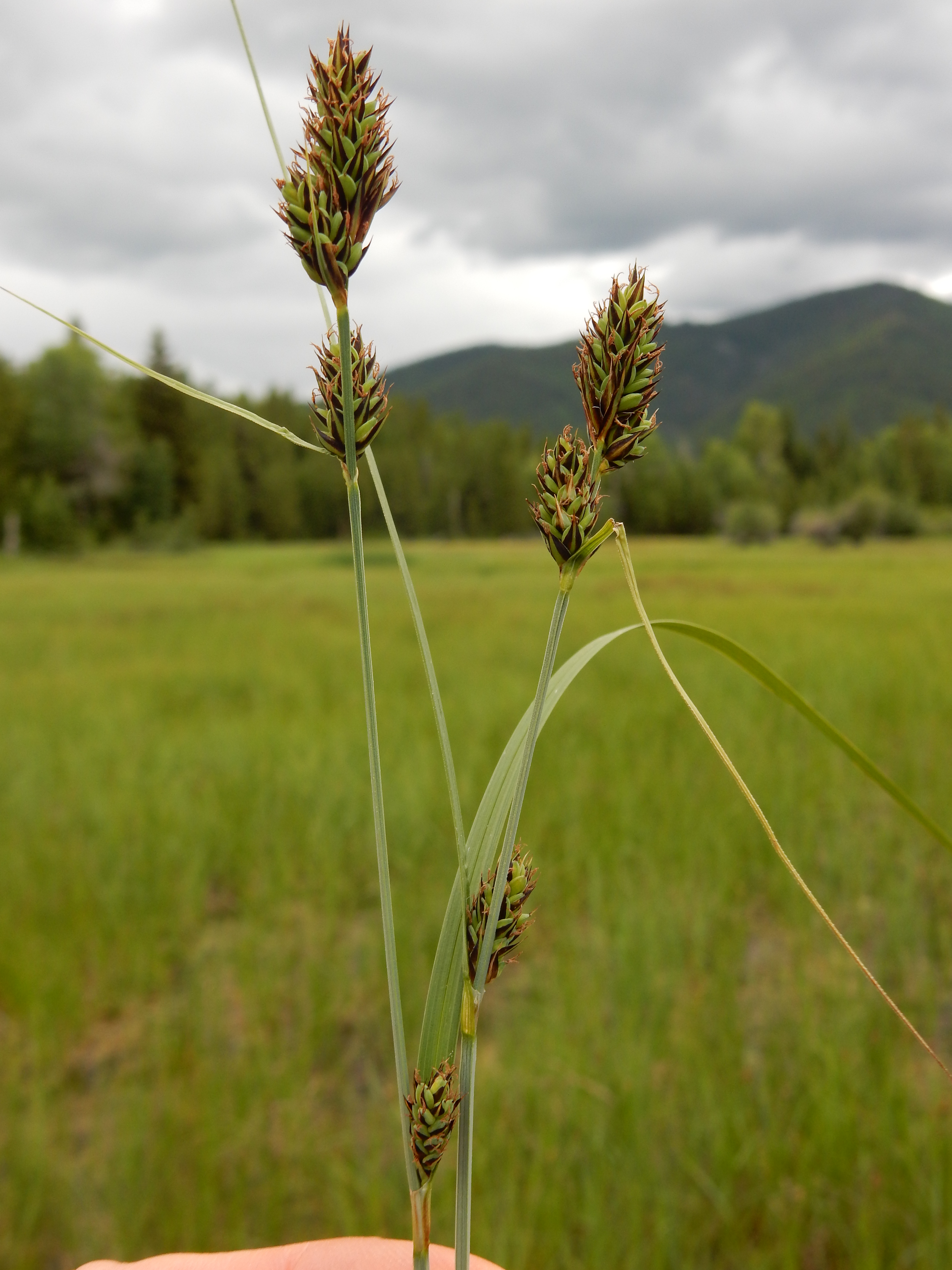
Carex sartwellii

Fire-killed Trees - 7
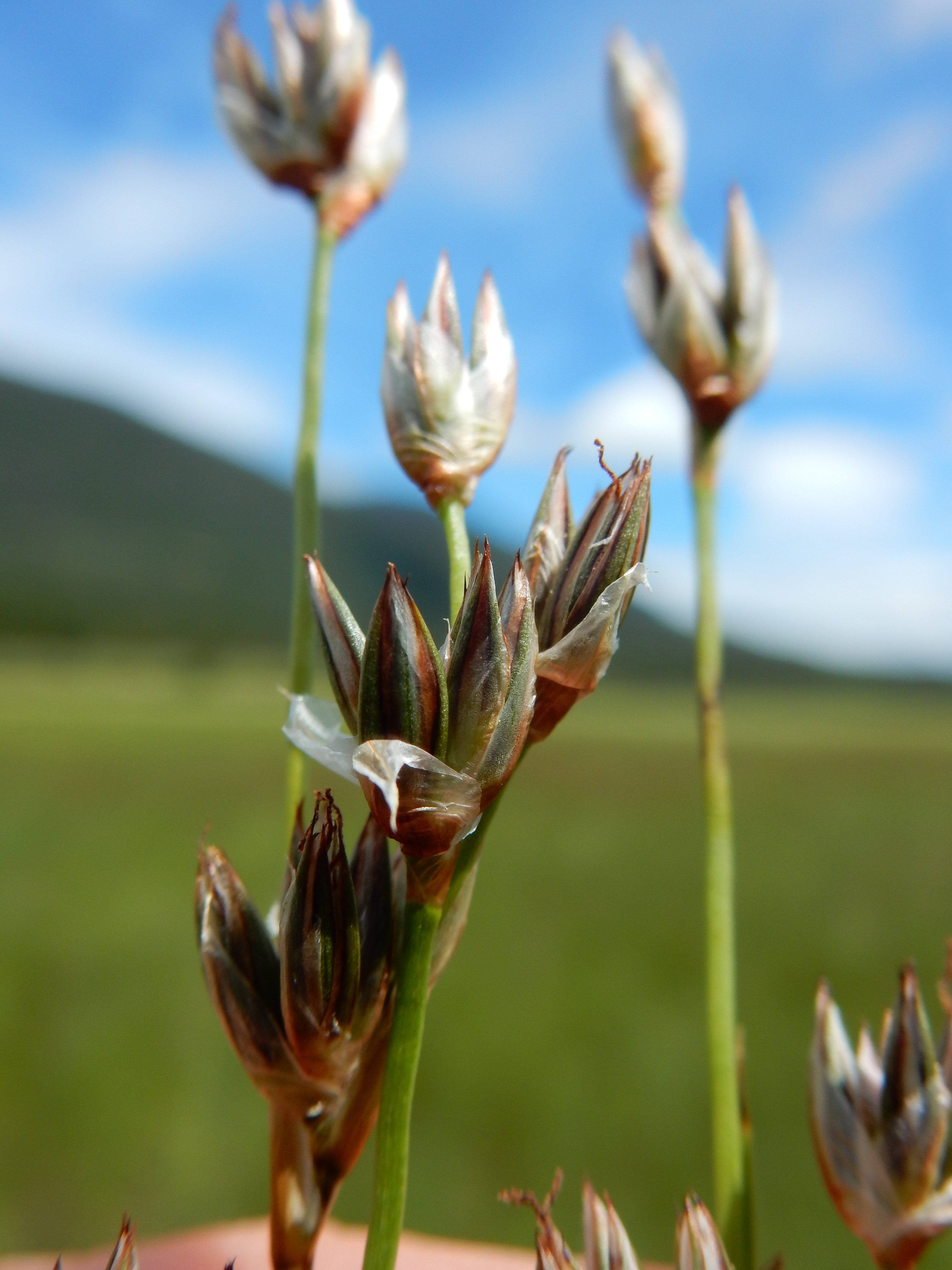
Juncus longistylis

Juncus longistylis
Carex buxbaumii

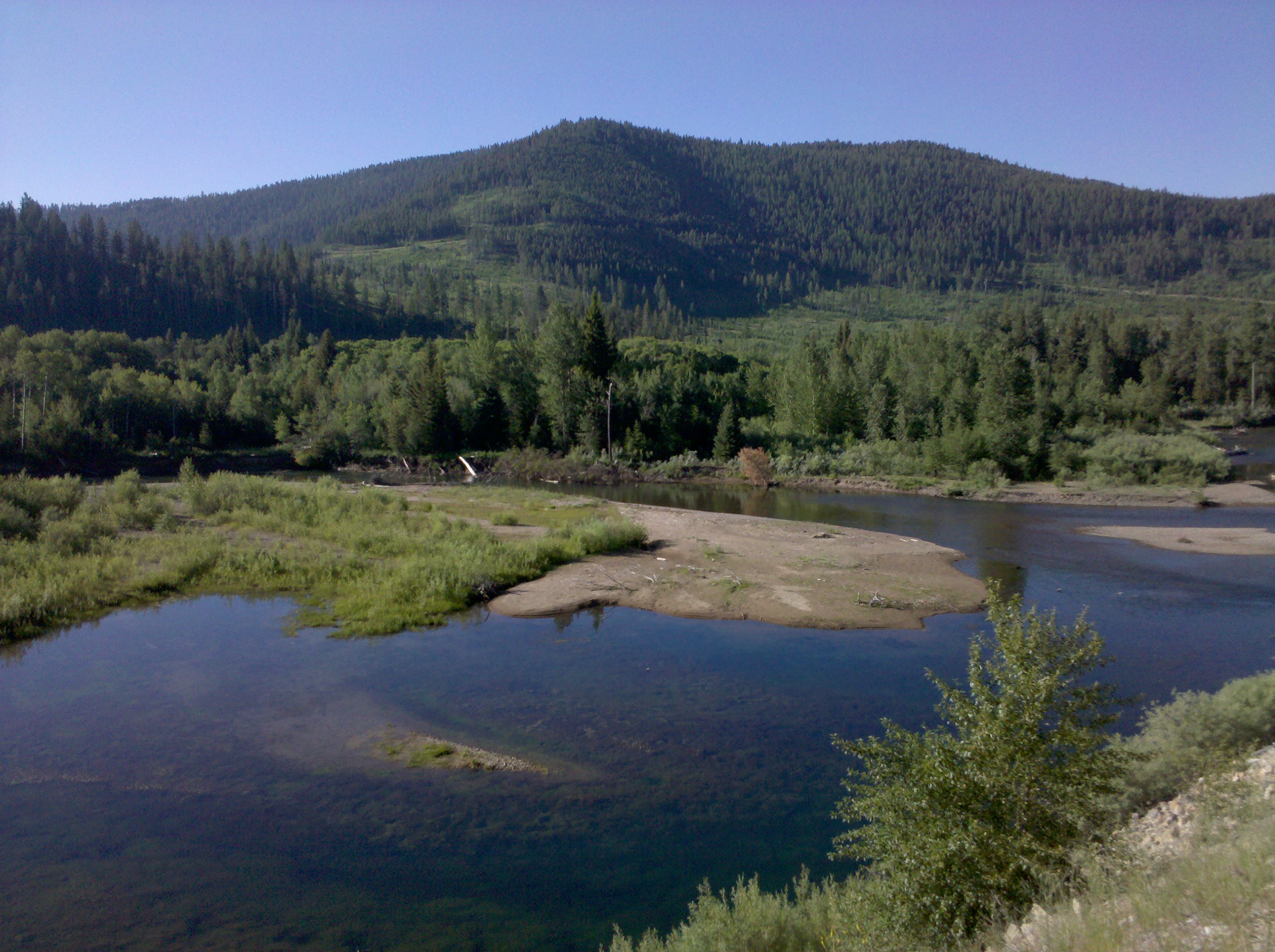
Small creek near Coughlin, Montana
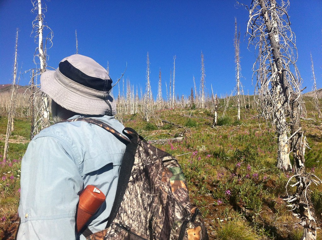
My walking companions
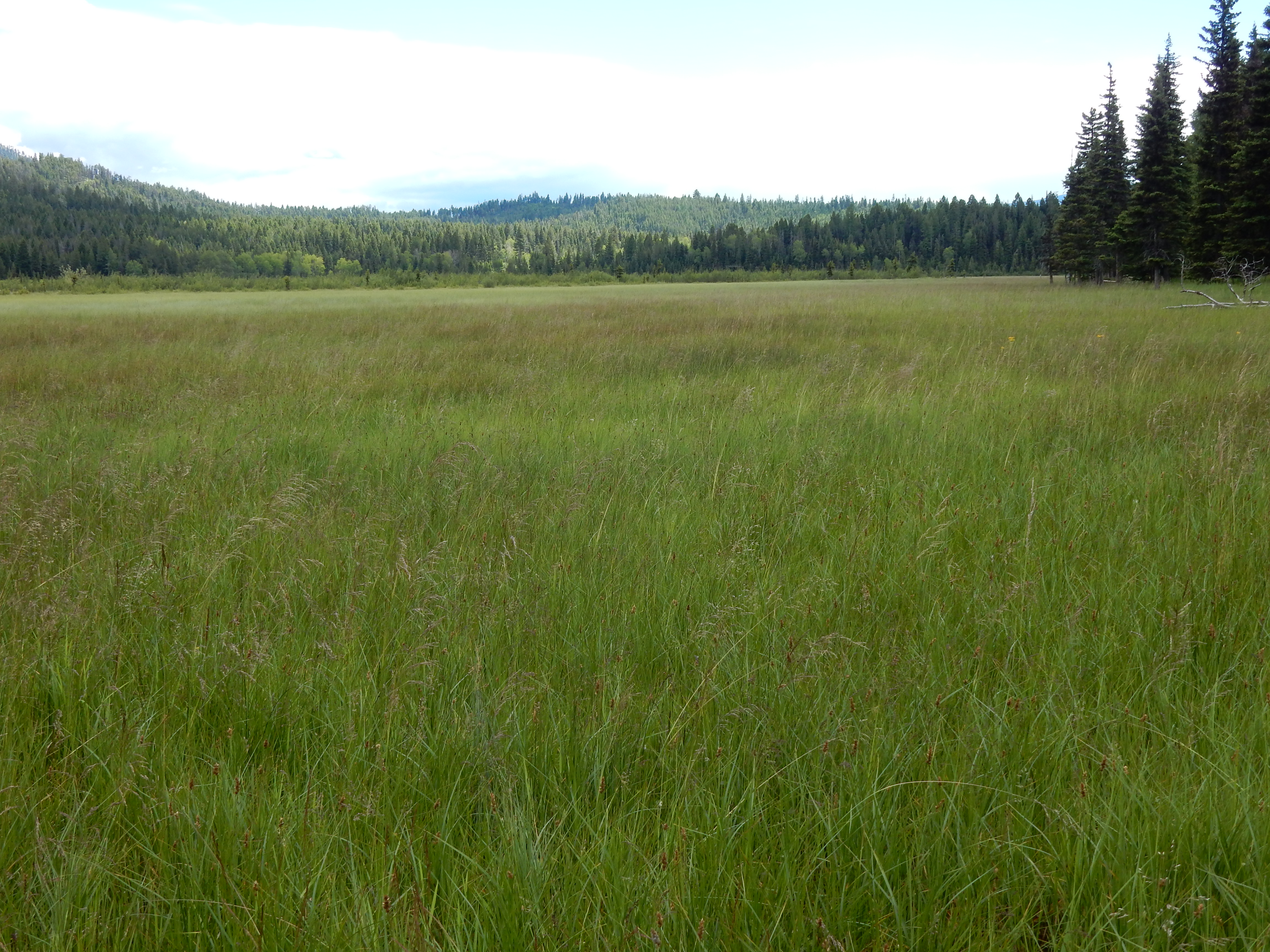
Blackfoot Waterfowl Production Area, Powell County, Montana 180°
Fire-killed Trees - 5
Fire-killed Trees - 10
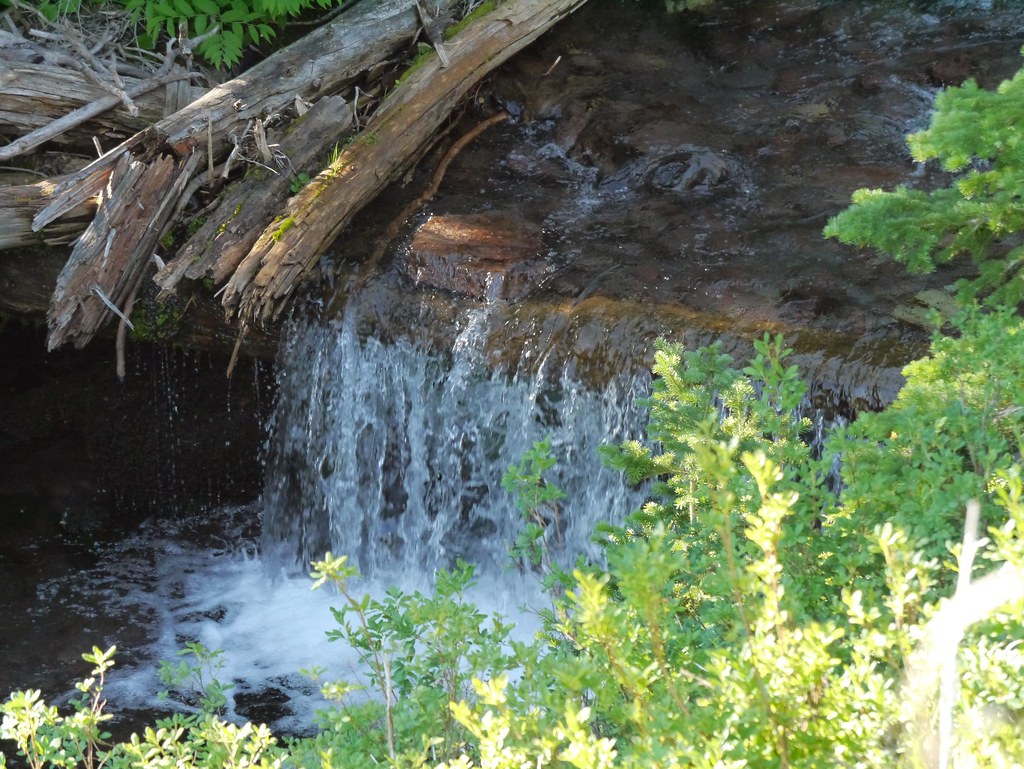
Snow-melt Stream - 6

Snow-melt Stream - 7

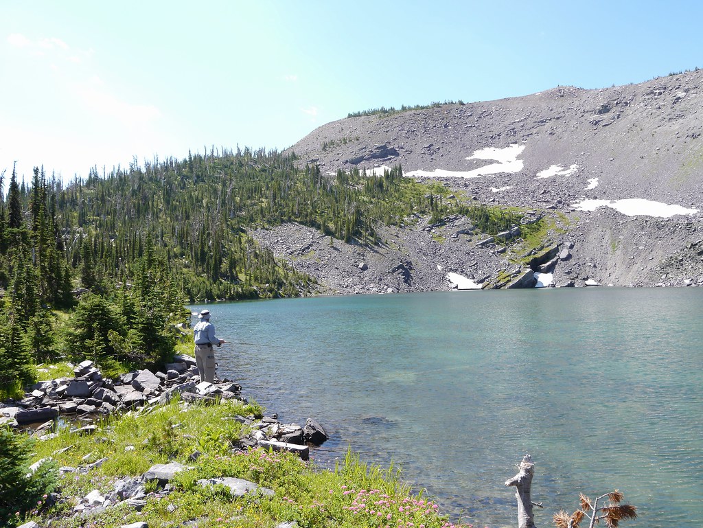
Upper Copper Lake - 09
Fire-killed Trees - 8
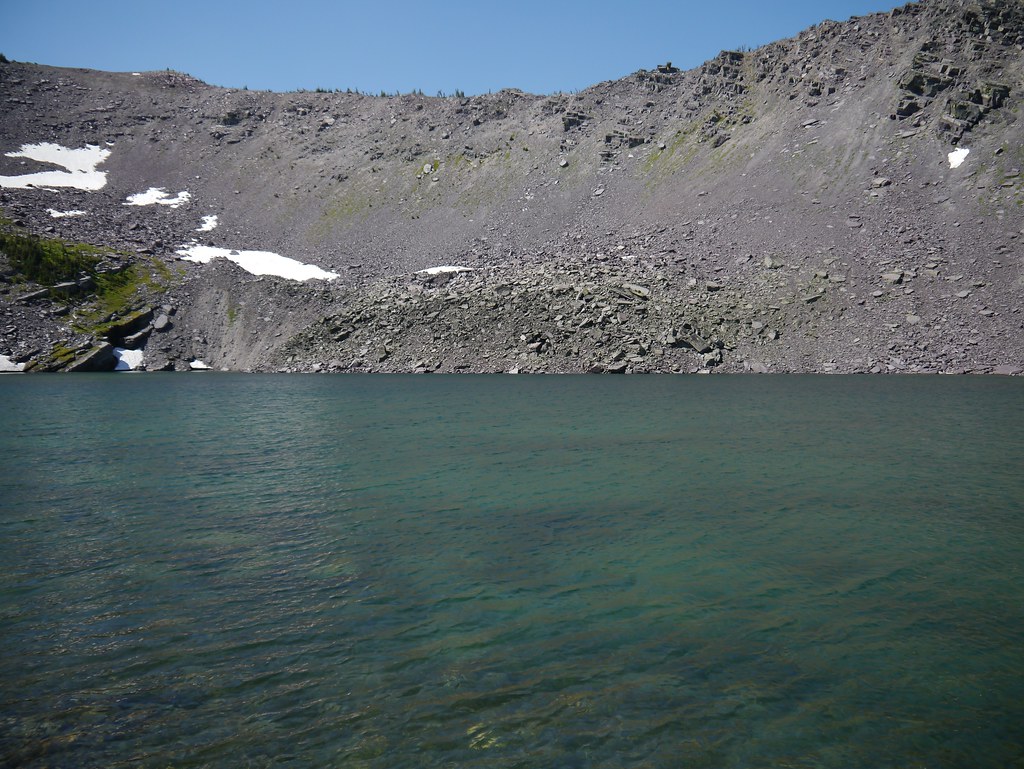
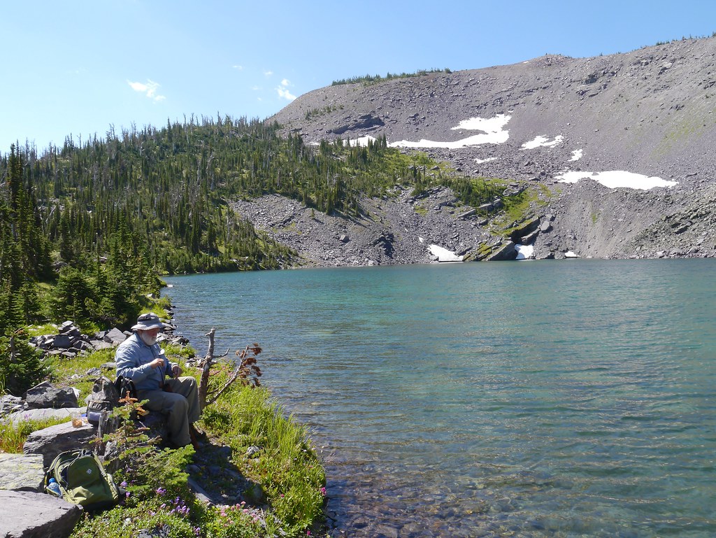
Upper Copper Lake - 01
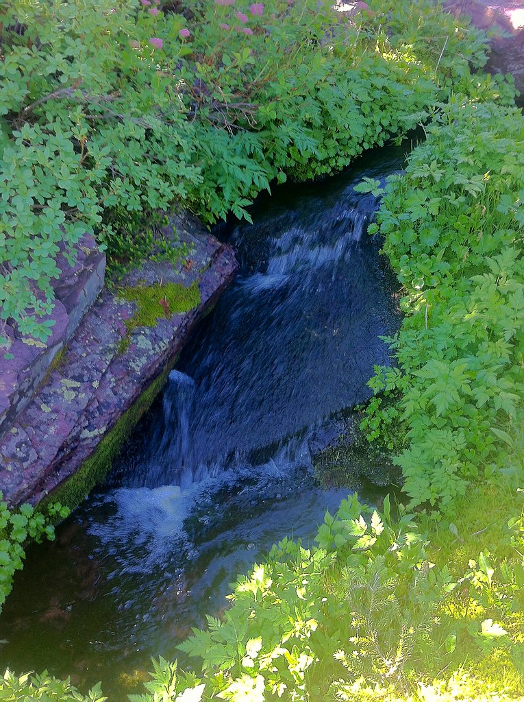
Snow-melt Stream - 1
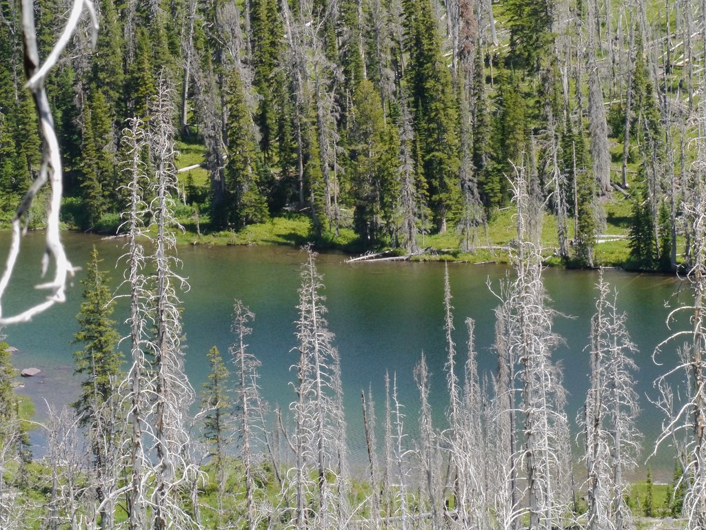
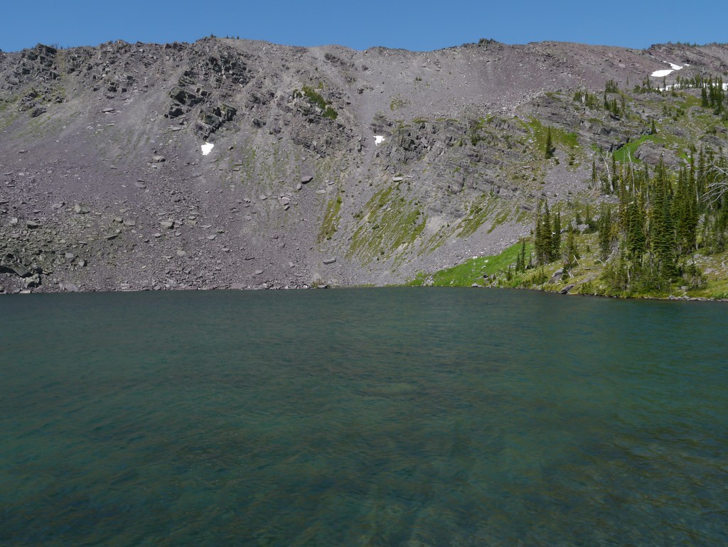
Lower Copper Lake - 1
Upper Copper Lake - 03
Snow-melt Stream - 4
Upper Copper Lake - 05
Upper Copper Lake - 02
Topographic Map of White Tail Ranch, Ovando, MT, USA
Find elevation by address:

Places near White Tail Ranch, Ovando, MT, USA:
8235 Cooper Lake Rd
8266 Cooper Lake Rd
8288 Cooper Lake Rd
380 Outfitter Ln
4575 Cooper-blackfoot Rd
Echo Mountain
Daly Peak
Arrastra Mountain
Lake Mountain
Ovando Mountain
Bugle Mountain
Powell County
Mccabe Mountain
Falls Point
Red Mountain
Canyon Point
Galusha Peak
Helmville
Ovando
Stonewall Mountain
Recent Searches:
- Elevation of Shibuya Scramble Crossing, 21 Udagawacho, Shibuya City, Tokyo -, Japan
- Elevation of Jadagoniai, Kaunas District Municipality, Lithuania
- Elevation of Pagonija rock, Kranto 7-oji g. 8"N, Kaunas, Lithuania
- Elevation of Co Rd 87, Jamestown, CO, USA
- Elevation of Tenjo, Cundinamarca, Colombia
- Elevation of Côte-des-Neiges, Montreal, QC H4A 3J6, Canada
- Elevation of Bobcat Dr, Helena, MT, USA
- Elevation of Zu den Ihlowbergen, Althüttendorf, Germany
- Elevation of Badaber, Peshawar, Khyber Pakhtunkhwa, Pakistan
- Elevation of SE Heron Loop, Lincoln City, OR, USA