Elevation of Red Mountain, Montana, USA
Location: United States > Montana > Lincoln >
Longitude: -112.7386535
Latitude: 47.1166083
Elevation: 2583m / 8474feet
Barometric Pressure: 0KPa
Related Photos:
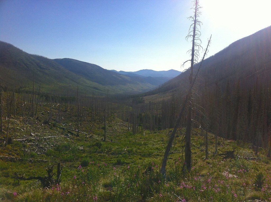
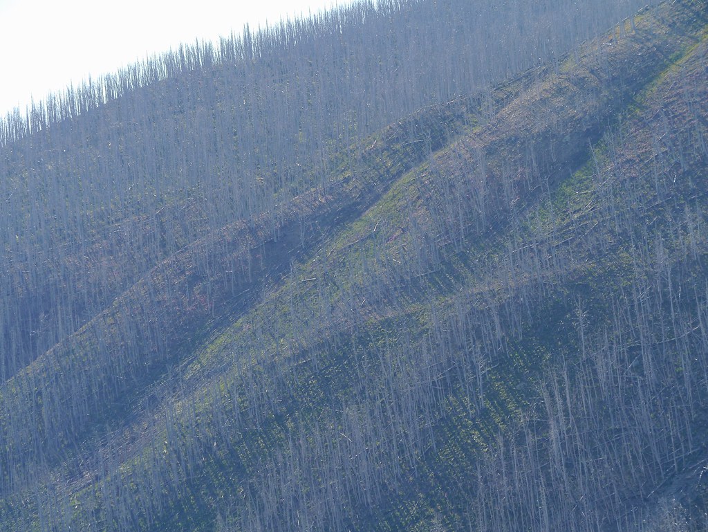
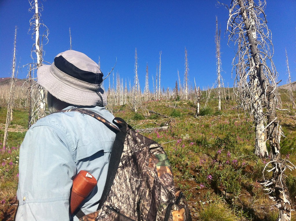
Fire-killed Trees - 1
Fire-killed Trees - 5
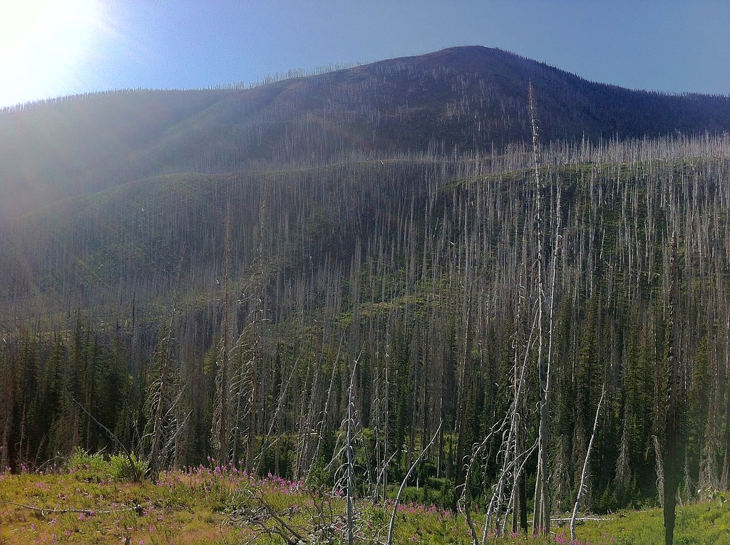
Fire-killed Trees - 3
Fire-killed Trees - 6
Fire-killed Trees - 8

Fire-killed Trees - 7
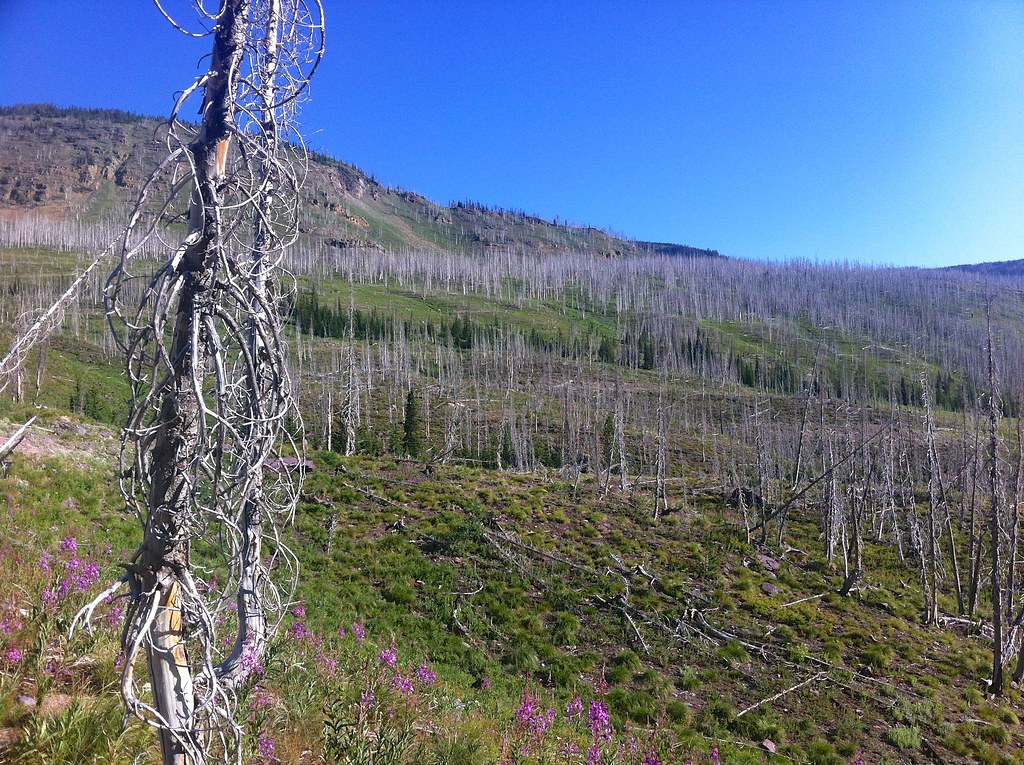
Fire-killed Trees - 2

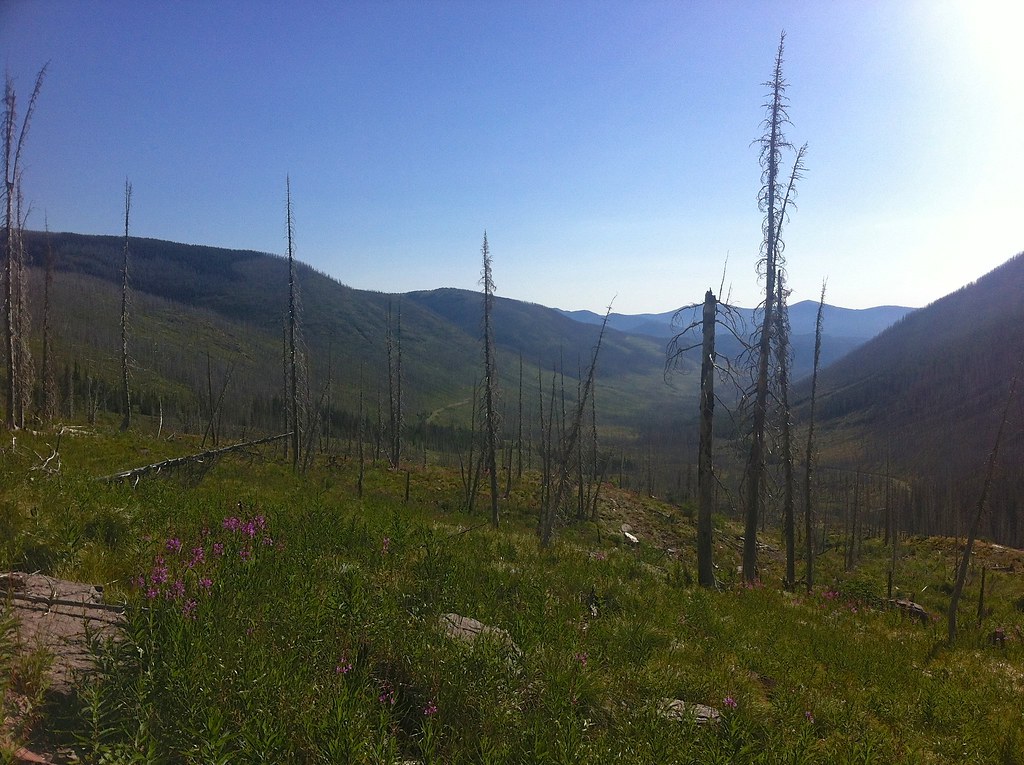
Fire-killed Trees - 4
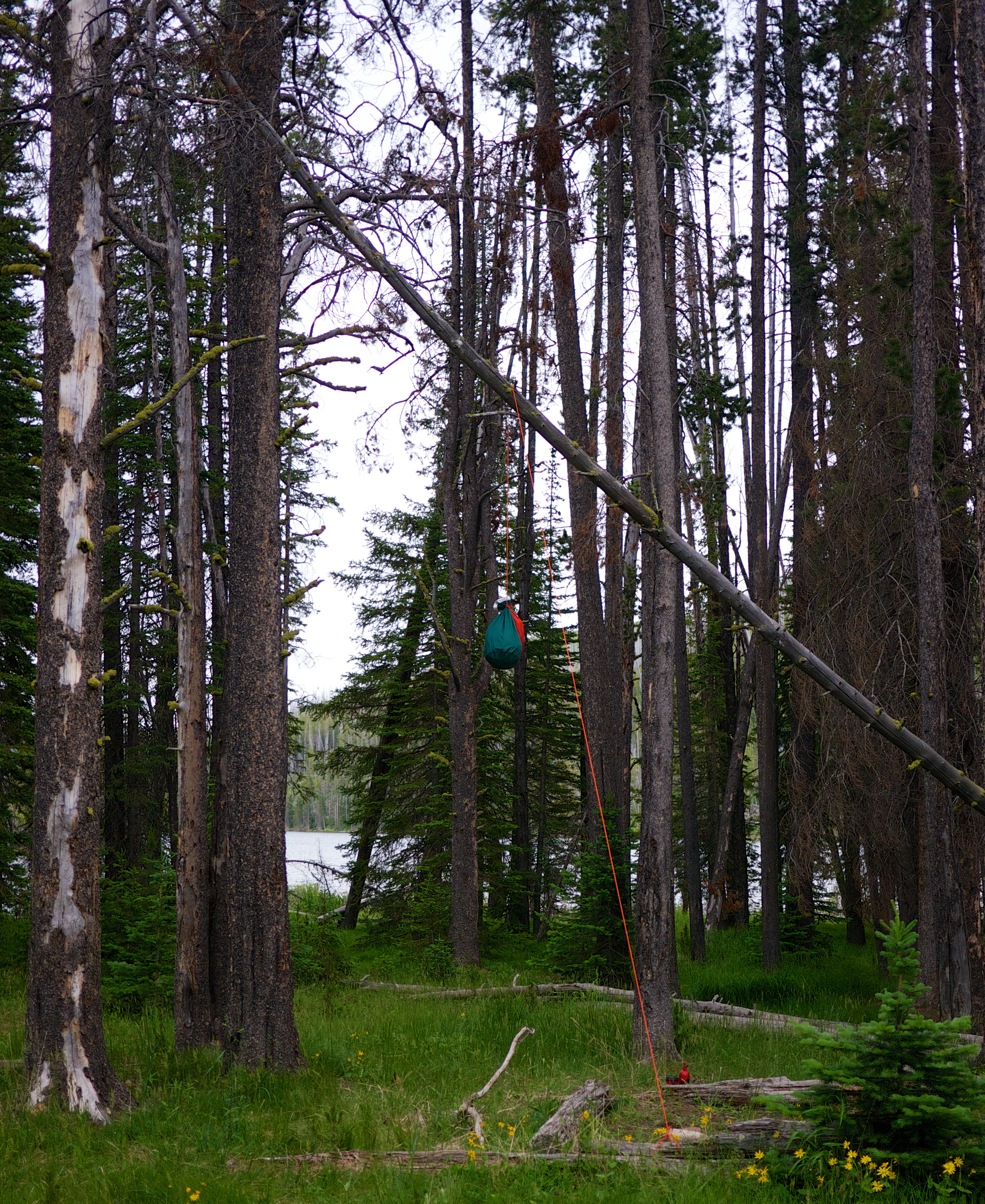
Not a bad bear bag hang
Topographic Map of Red Mountain, Montana, USA
Find elevation by address:

Places near Red Mountain, Montana, USA:
Stonewall Mountain
Bugle Mountain
Arrastra Mountain
Olson Peak
Galusha Peak
Daly Peak
Echo Mountain
Grassy Hills Hp
8288 Cooper Lake Rd
8266 Cooper Lake Rd
Lincoln
930 4th St N
8235 Cooper Lake Rd
873 D St
Caribou Peak
White Tail Ranch
Falls Point
Silver King Mountain
Steamboat Mountain
380 Outfitter Ln
Recent Searches:
- Elevation map of Greenland, Greenland
- Elevation of Sullivan Hill, New York, New York, 10002, USA
- Elevation of Morehead Road, Withrow Downs, Charlotte, Mecklenburg County, North Carolina, 28262, USA
- Elevation of 2800, Morehead Road, Withrow Downs, Charlotte, Mecklenburg County, North Carolina, 28262, USA
- Elevation of Yangbi Yi Autonomous County, Yunnan, China
- Elevation of Pingpo, Yangbi Yi Autonomous County, Yunnan, China
- Elevation of Mount Malong, Pingpo, Yangbi Yi Autonomous County, Yunnan, China
- Elevation map of Yongping County, Yunnan, China
- Elevation of North 8th Street, Palatka, Putnam County, Florida, 32177, USA
- Elevation of 107, Big Apple Road, East Palatka, Putnam County, Florida, 32131, USA
- Elevation of Jiezi, Chongzhou City, Sichuan, China
- Elevation of Chongzhou City, Sichuan, China
- Elevation of Huaiyuan, Chongzhou City, Sichuan, China
- Elevation of Qingxia, Chengdu, Sichuan, China
- Elevation of Corso Fratelli Cairoli, 35, Macerata MC, Italy
- Elevation of Tallevast Rd, Sarasota, FL, USA
- Elevation of 4th St E, Sonoma, CA, USA
- Elevation of Black Hollow Rd, Pennsdale, PA, USA
- Elevation of Oakland Ave, Williamsport, PA, USA
- Elevation of Pedrógão Grande, Portugal