Elevation of Helmville, MT, USA
Location: United States > Montana > Powell County >
Longitude: -112.96116
Latitude: 46.8666032
Elevation: 1311m / 4301feet
Barometric Pressure: 87KPa
Elevation Map:
Satellite Map:
Related Photos:

5 Plus

Rock and Reel
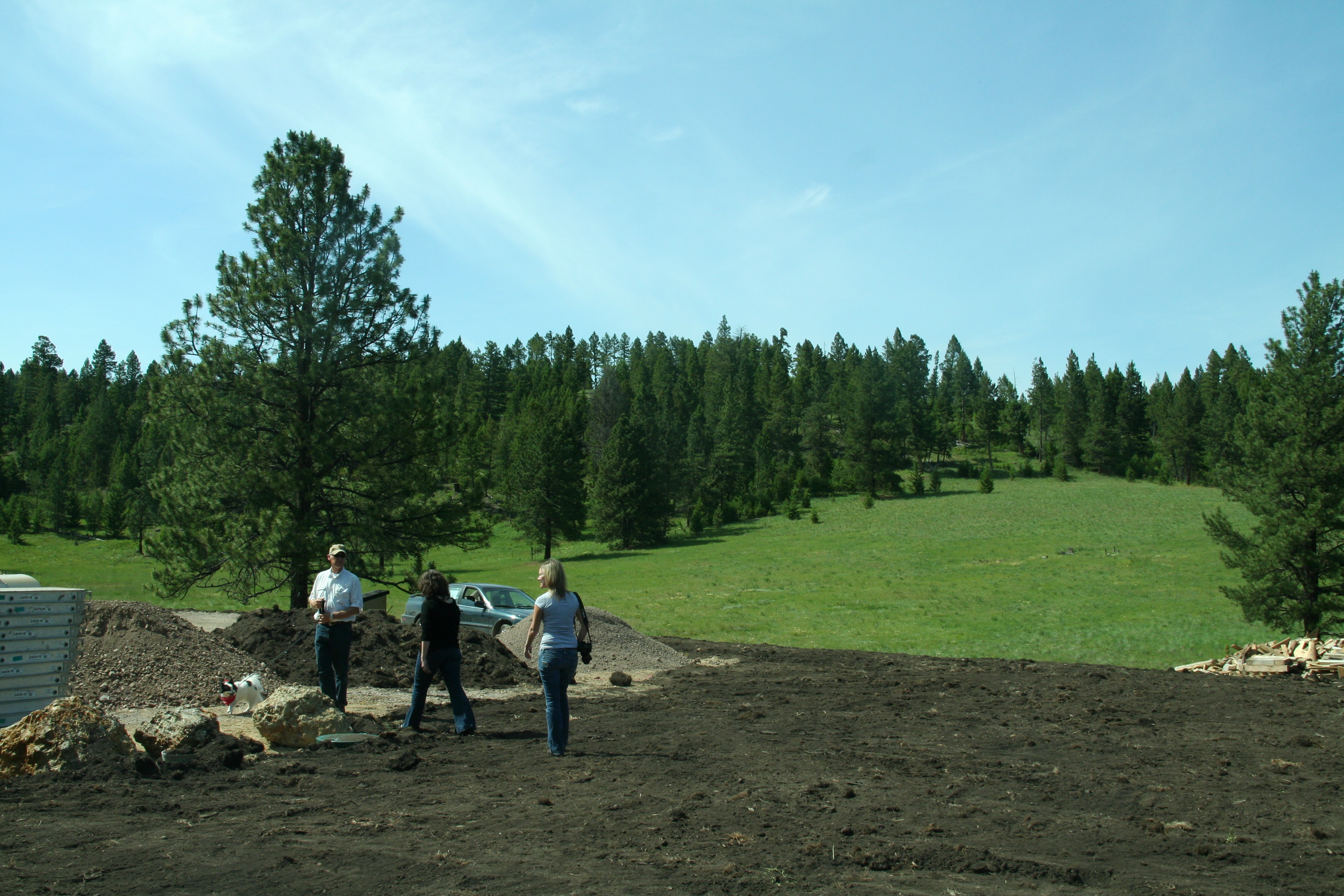
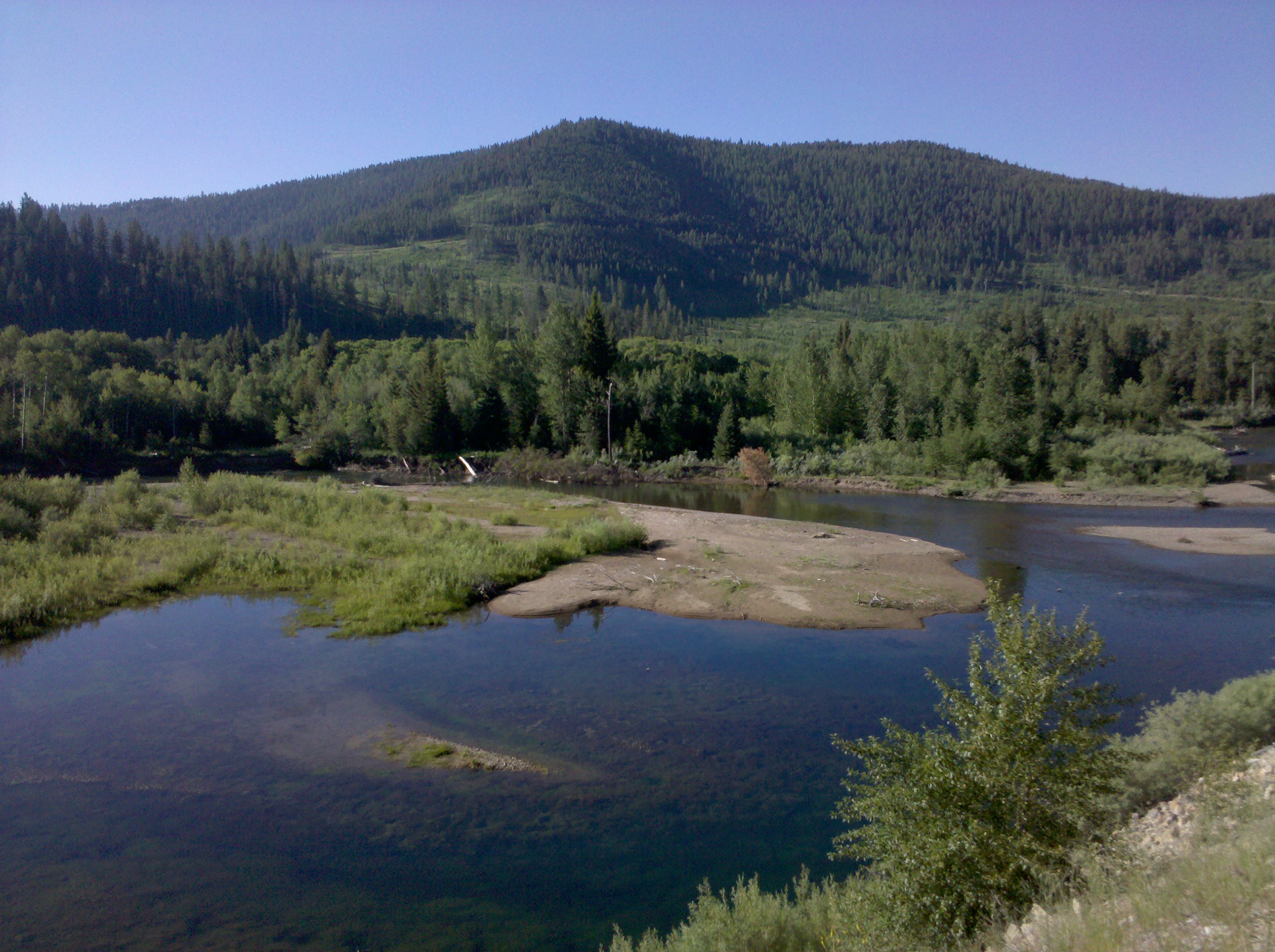
View of Jim's land

European Skipper (Thymelicus lineola) on Purple Nettle
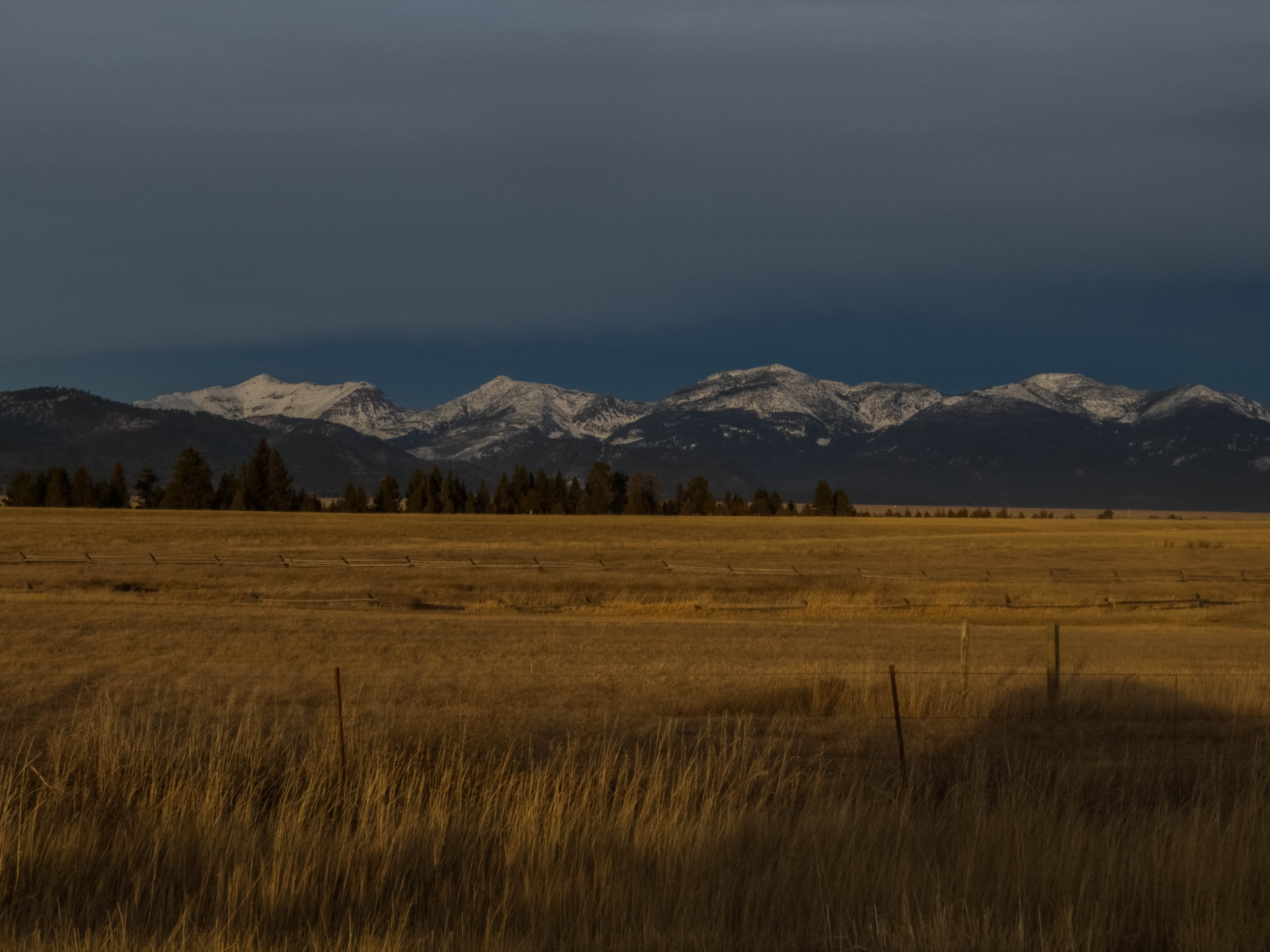
20131129 The south end of the Bob Marshall Wilderness. #MontanaMoment

Ovando|Grey_©2015A.Sønju
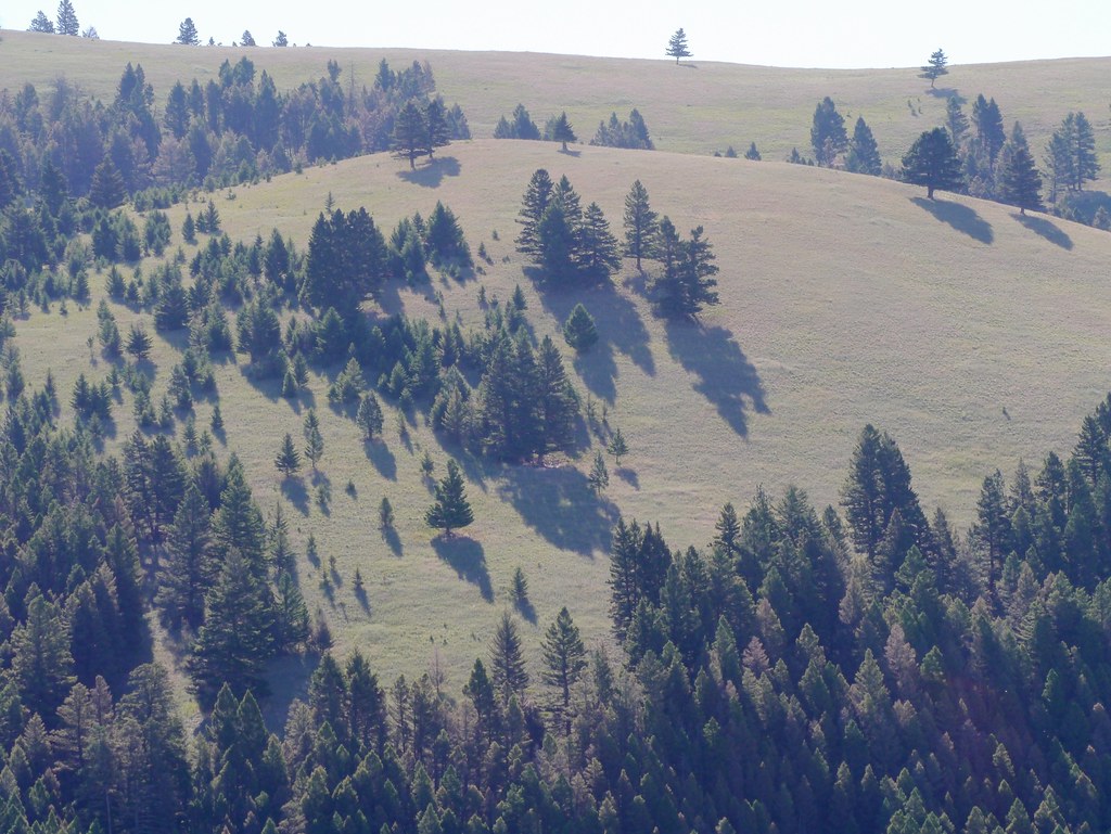
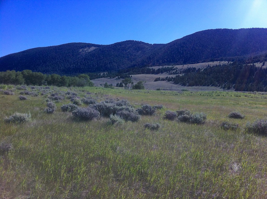
Blackfoot WPA Landscape - 2
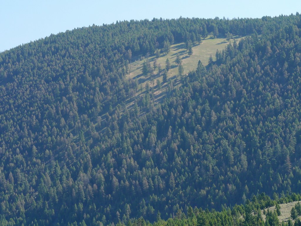
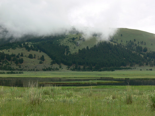
Blackfoot WPA Landscape - 3
Blackfoot WPA - 1
Blackfoot WPA - 2
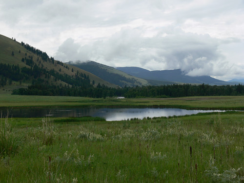
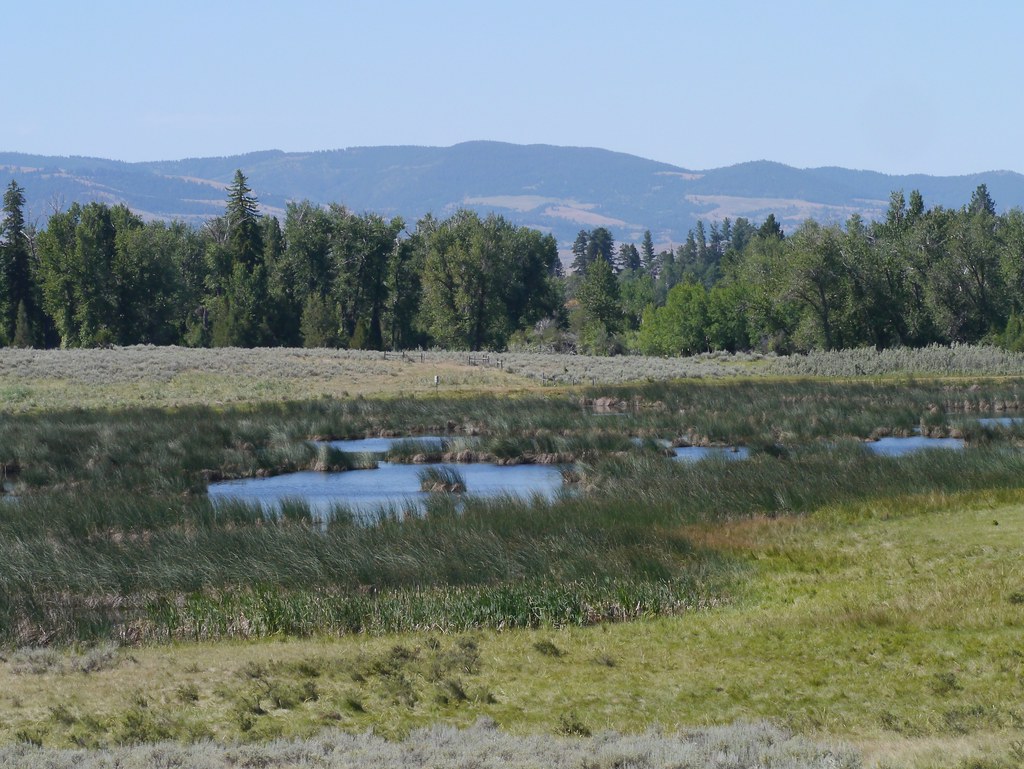
Blackfoot WPA Landscape - 1
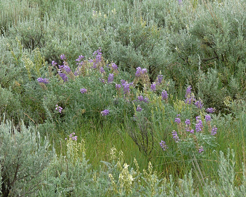
Flowering Sagebrush at Blackfoot WPA
Blackfoot WPA Landscape - 4
Snow Melt
My walking companions

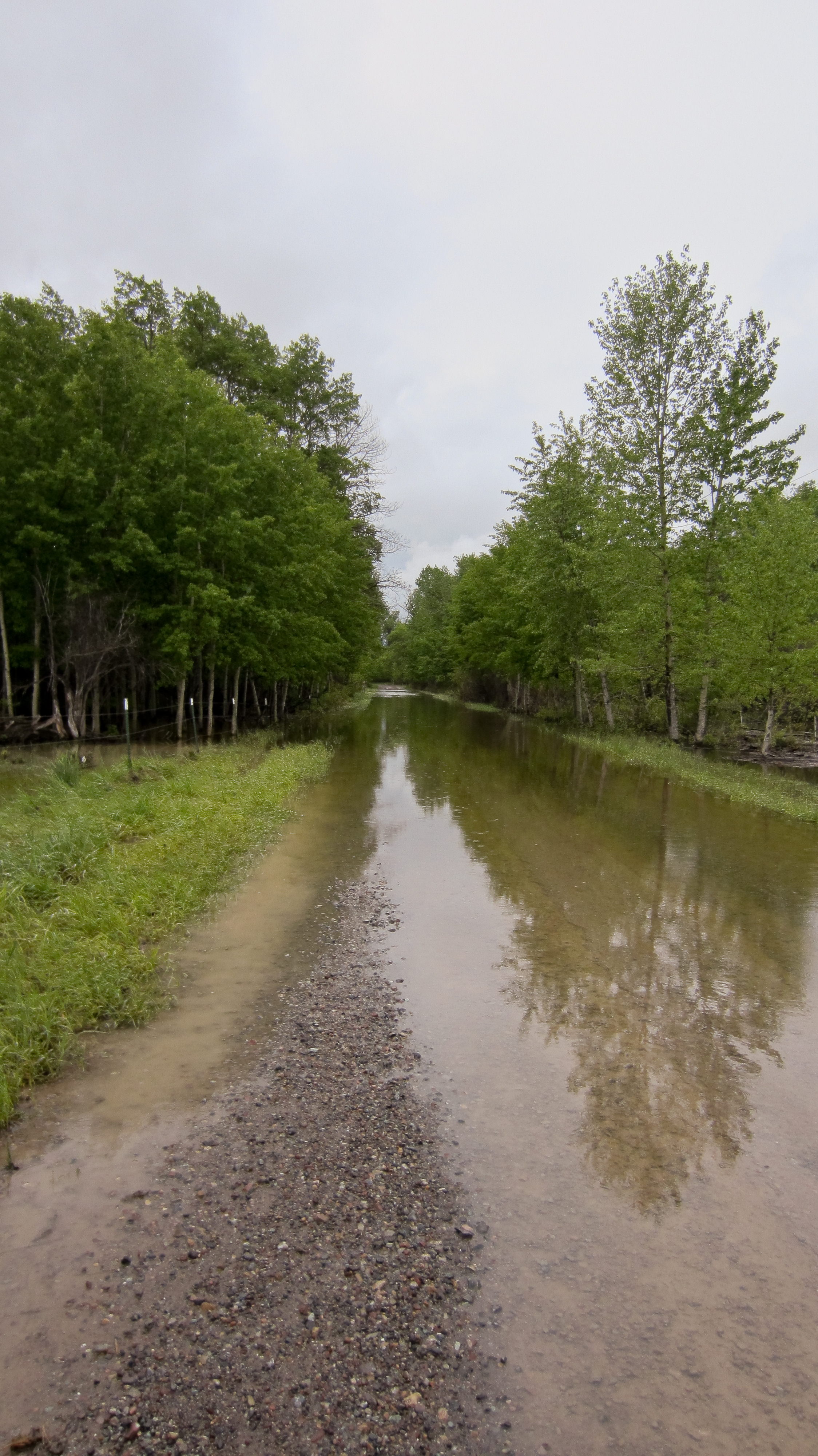
Small creek near Coughlin, Montana
Topographic Map of Helmville, MT, USA
Find elevation by address:

Places in Helmville, MT, USA:
Places near Helmville, MT, USA:
Helmville, MT, USA
Powell County
139 Bristlecone Rd
380 Outfitter Ln
8235 Cooper Lake Rd
White Tail Ranch
8266 Cooper Lake Rd
8288 Cooper Lake Rd
4575 Cooper-blackfoot Rd
Ovando
Ovando Mountain
Arrastra Mountain
Daly Peak
Echo Mountain
Jens
Frontage Road
Mccabe Mountain
Drummond
Goldcreek
90 Church Rd
Recent Searches:
- Elevation of Corso Fratelli Cairoli, 35, Macerata MC, Italy
- Elevation of Tallevast Rd, Sarasota, FL, USA
- Elevation of 4th St E, Sonoma, CA, USA
- Elevation of Black Hollow Rd, Pennsdale, PA, USA
- Elevation of Oakland Ave, Williamsport, PA, USA
- Elevation of Pedrógão Grande, Portugal
- Elevation of Klee Dr, Martinsburg, WV, USA
- Elevation of Via Roma, Pieranica CR, Italy
- Elevation of Tavkvetili Mountain, Georgia
- Elevation of Hartfords Bluff Cir, Mt Pleasant, SC, USA