Elevation of Helmville, MT, USA
Location: United States > Montana > Powell County > Helmville >
Longitude: -112.93937
Latitude: 46.8159637
Elevation: 1523m / 4997feet
Barometric Pressure: 84KPa
Elevation Map:
Satellite Map:
Related Photos:

5 Plus

Rock and Reel

Helmville, Montana 59843

View of Jim's land

Smoky Mountains in Montana

Alopecurus arundinaceus

Alopecurus arundinaceus

Small creek near Coughlin, Montana

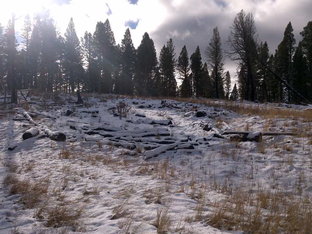
Snow Melt
Seeding site Windy Rock Jeep Trail

Seeding site along Windy Rock Jeep Trail

North Hoodoos 2015 un treated roadside was suppose to be treated (6)

South Hoodoos 2015 Pile treated several missed plants Poor results

Hwy 141 looking SE from Mineral Hill 2015
Topographic Map of Helmville, MT, USA
Find elevation by address:

Places near Helmville, MT, USA:
Helmville
139 Bristlecone Rd
Powell County
380 Outfitter Ln
Jens
Frontage Road
Goldcreek
90 Church Rd
Camp Mak-a-dream
736 Camp Mak A Dream Rd
8235 Cooper Lake Rd
8266 Cooper Lake Rd
8288 Cooper Lake Rd
White Tail Ranch
Drummond
4575 Cooper-blackfoot Rd
E Mullan Trail, Drummond, MT, USA
Arrastra Mountain
Ovando
Daly Peak
Recent Searches:
- Elevation of Lampiasi St, Sarasota, FL, USA
- Elevation of Elwyn Dr, Roanoke Rapids, NC, USA
- Elevation of Congressional Dr, Stevensville, MD, USA
- Elevation of Bellview Rd, McLean, VA, USA
- Elevation of Stage Island Rd, Chatham, MA, USA
- Elevation of Shibuya Scramble Crossing, 21 Udagawacho, Shibuya City, Tokyo -, Japan
- Elevation of Jadagoniai, Kaunas District Municipality, Lithuania
- Elevation of Pagonija rock, Kranto 7-oji g. 8"N, Kaunas, Lithuania
- Elevation of Co Rd 87, Jamestown, CO, USA
- Elevation of Tenjo, Cundinamarca, Colombia