Elevation of White Bird Hill, Idaho, USA
Location: United States > Idaho > White Bird >
Longitude: -116.24514
Latitude: 45.8393279
Elevation: 1404m / 4606feet
Barometric Pressure: 86KPa
Elevation Map:
Satellite Map:
Related Photos:

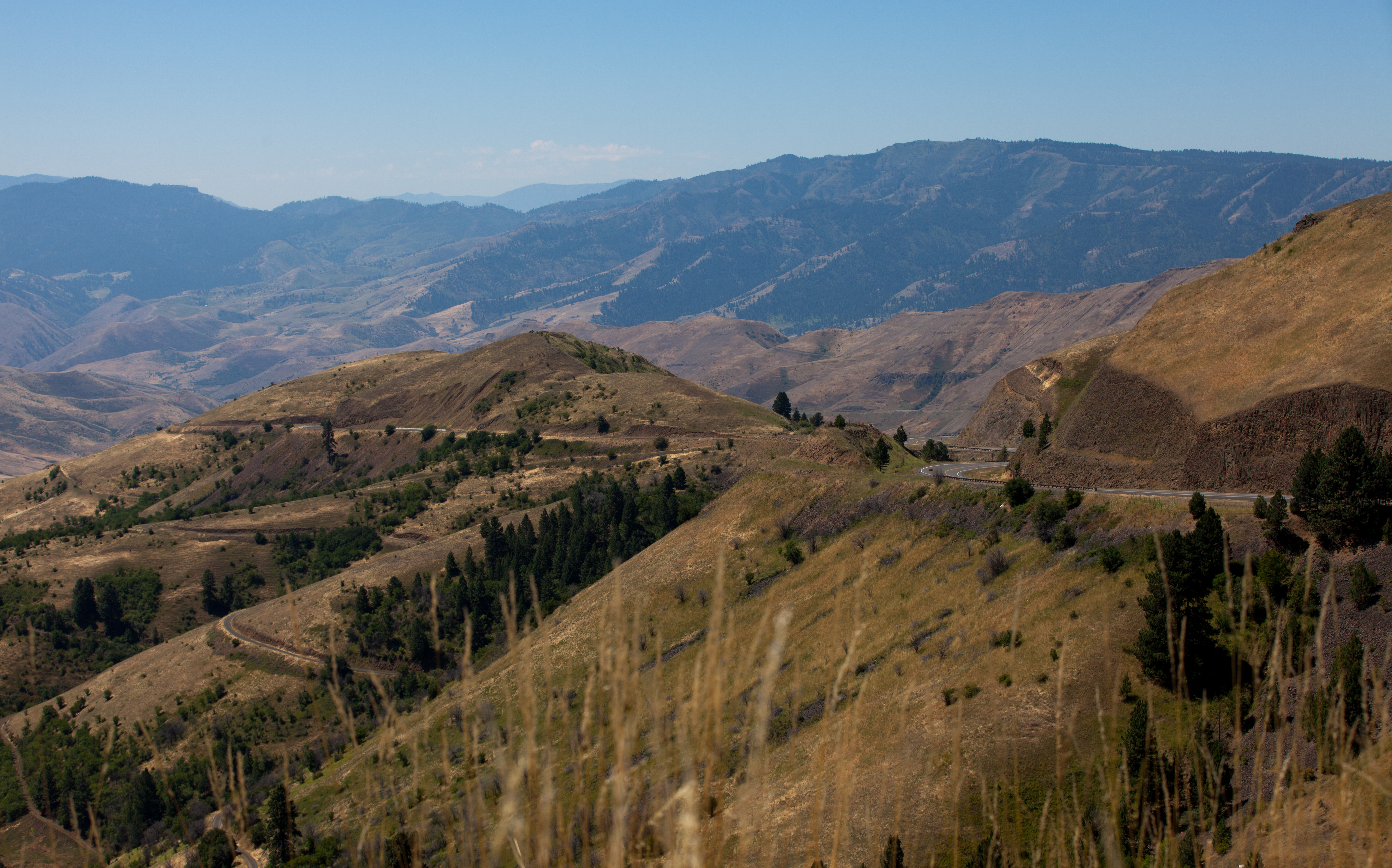
View of the White Bird Grade valley in Idaho in summer

Nez Perce National Historical Park

Nez Perce National Historical Park

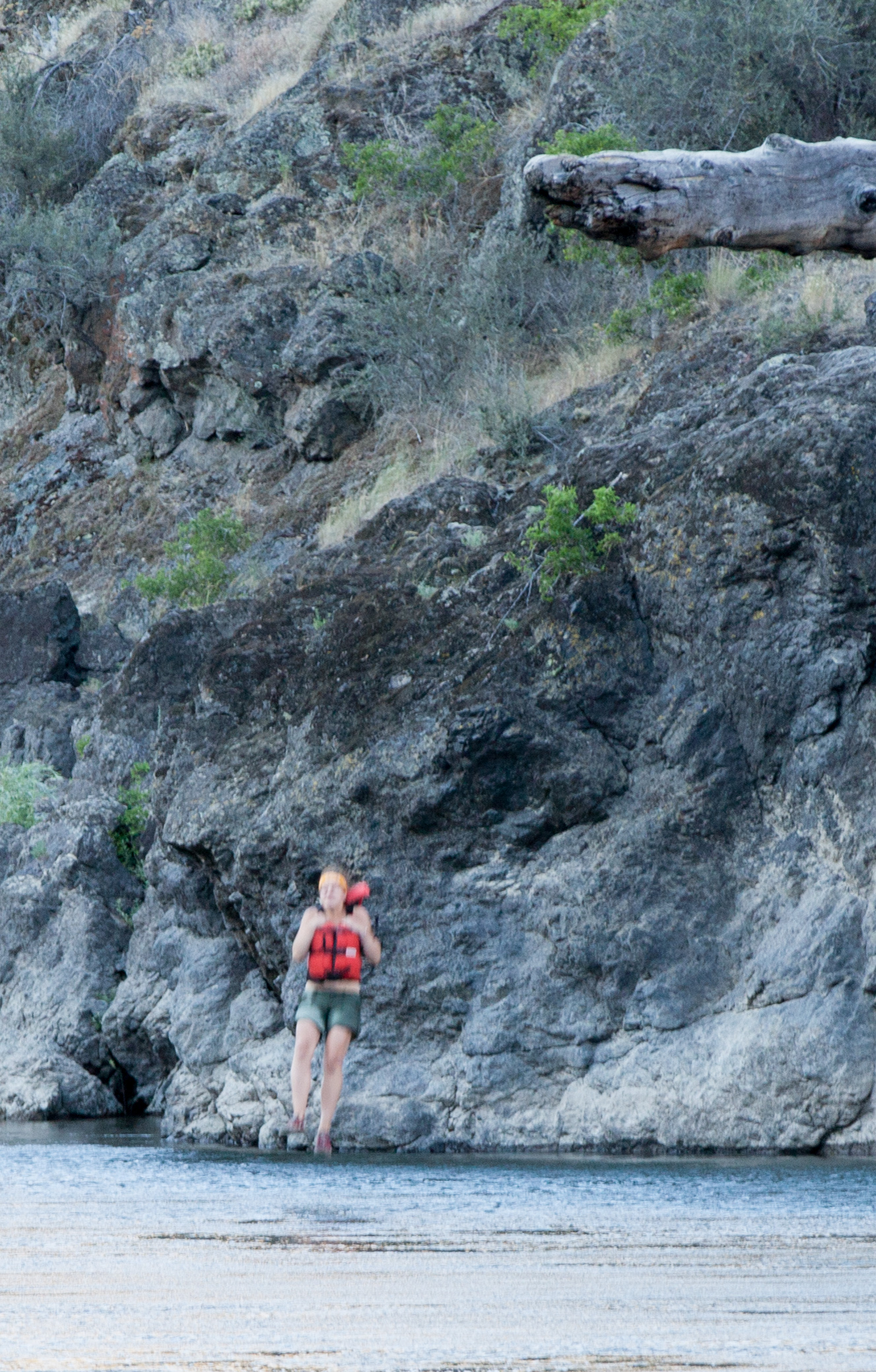
Rafting Lower Salmon 20120722-130.jpg

Rafting Lower Salmon 20120722-146.jpg

Rafting Lower Salmon 20120722-133.jpg

Nez Perce National Historical Park

White Bird Battlefield

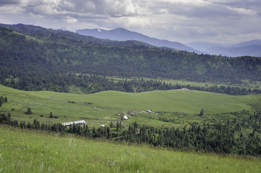
View of Camas Prairie close to Grangeville

One Switchback of many on White Bird Hill - a steep grade on Hwy 95 Central Idaho just above the time line 120817-094126 C4Tc

View of Camas Prairie close to Grangeville

Nez Perce National Historical Park

Rafting Lower Salmon 20120722-104.jpg
Rafting Lower Salmon 20120722-090.jpg
Upper meadow

Rafting Lower Salmon 20120722-105.jpg

Driving up to Canada.

C&J's living room view

Rafting Lower Salmon 20120723-286.jpg

Rafting Lower Salmon 20120723-235.jpg

Rafting Lower Salmon 20120723-288.jpg
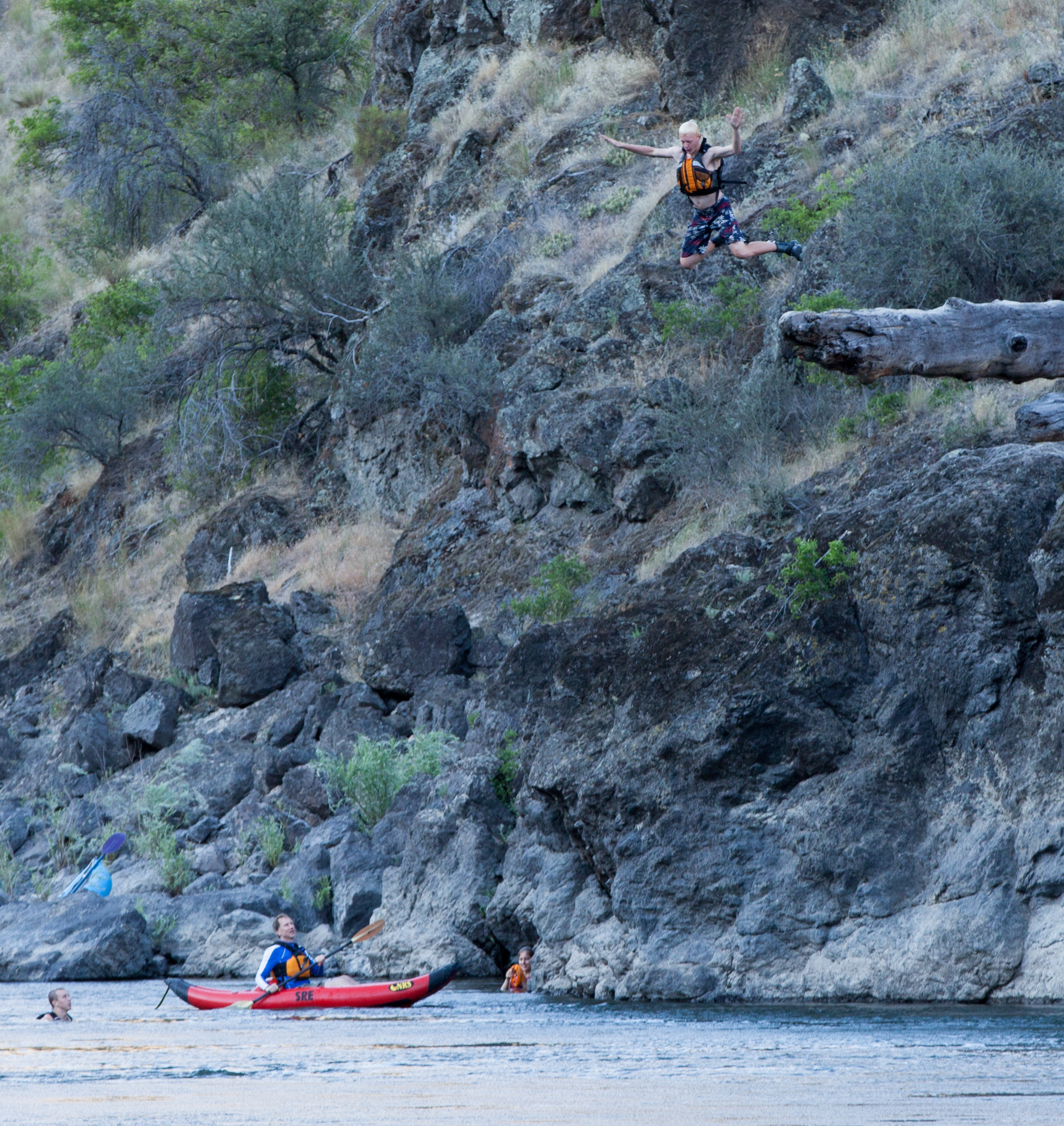
Rafting Lower Salmon 20120723-265.jpg

Rafting Lower Salmon 20120723-287.jpg

Rafting Lower Salmon 20120723-289.jpg

Rafting Lower Salmon 20120723-256.jpg
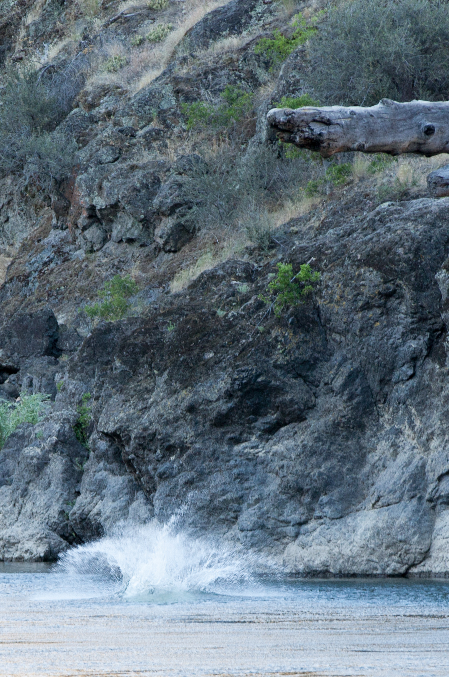
Rafting Lower Salmon 20120723-255.jpg

Rafting Lower Salmon 20120723-241.jpg
Rafting Lower Salmon 20120723-254.jpg

Rafting Lower Salmon 20120723-279.jpg

Rafting Lower Salmon 20120723-290.jpg

Rafting Lower Salmon 20120723-242.jpg
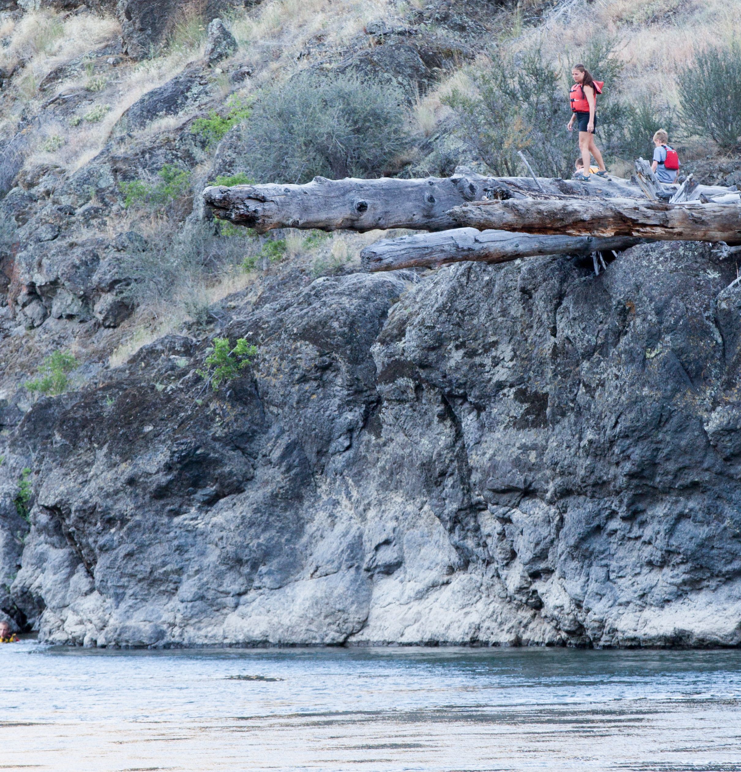
Rafting Lower Salmon 20120723-275.jpg

Rafting Lower Salmon 20120723-243.jpg

Rafting Lower Salmon 20120723-247.jpg
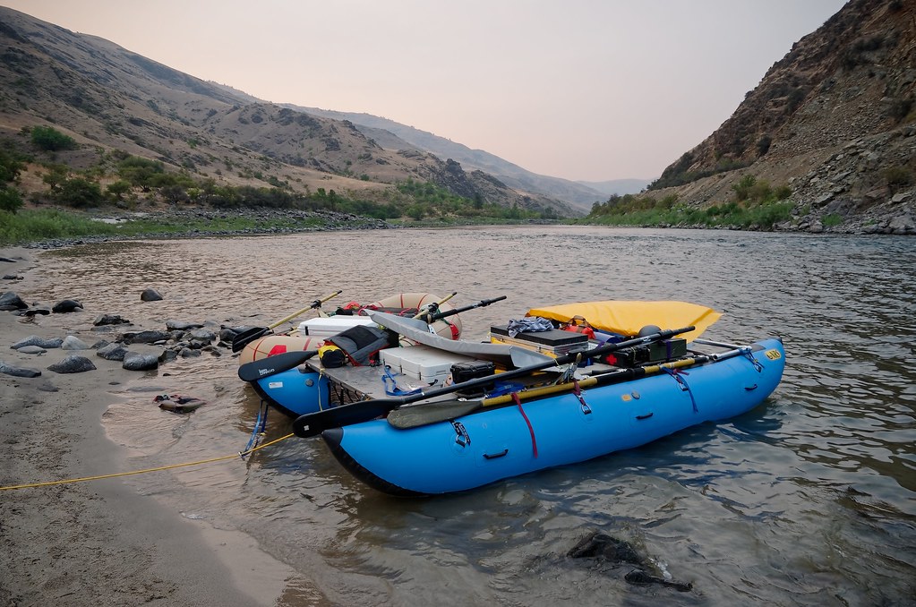
Our Cataraft on the Lower Salmon

Whitebird-DSC_0293-WM

Canon EOS 7D Mark II - 6E3A9436
Topographic Map of White Bird Hill, Idaho, USA
Find elevation by address:

Places near White Bird Hill, Idaho, USA:
2187 Old White Bird Hill Rd
White Bird
915 Doumecq Rd
532 Fish Hatchery Rd
734 Silver Lake Rd
119 Twin Pines Ln
202 Bear Ridge Rd
160 Buckhorn Rd
134 Doumecq Rd
Canfield
Hammer Creek Road
20 Fish Hatchery Rd
Blue Grouse Road
Harmony
77 Canyon View Rd
662 Woodys Way
141 Shuck Creek Rd
Grangeville
21 Poor Farm Rd
National Forest Development Road 279
Recent Searches:
- Elevation of Jadagoniai, Kaunas District Municipality, Lithuania
- Elevation of Pagonija rock, Kranto 7-oji g. 8"N, Kaunas, Lithuania
- Elevation of Co Rd 87, Jamestown, CO, USA
- Elevation of Tenjo, Cundinamarca, Colombia
- Elevation of Côte-des-Neiges, Montreal, QC H4A 3J6, Canada
- Elevation of Bobcat Dr, Helena, MT, USA
- Elevation of Zu den Ihlowbergen, Althüttendorf, Germany
- Elevation of Badaber, Peshawar, Khyber Pakhtunkhwa, Pakistan
- Elevation of SE Heron Loop, Lincoln City, OR, USA
- Elevation of Slanický ostrov, 01 Námestovo, Slovakia