Elevation of Old White Bird Hill Rd, Grangeville, ID, USA
Location: United States > Idaho > Idaho County > Grangeville >
Longitude: -116.22311
Latitude: 45.8495567
Elevation: 1345m / 4413feet
Barometric Pressure: 86KPa
Elevation Map:
Satellite Map:
Related Photos:

One Switchback of many on White Bird Hill - a steep grade on Hwy 95 Central Idaho just above the time line 120817-094126 C4Tc
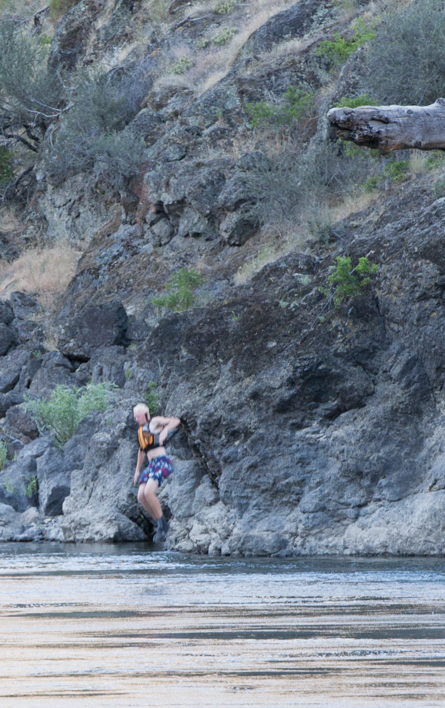
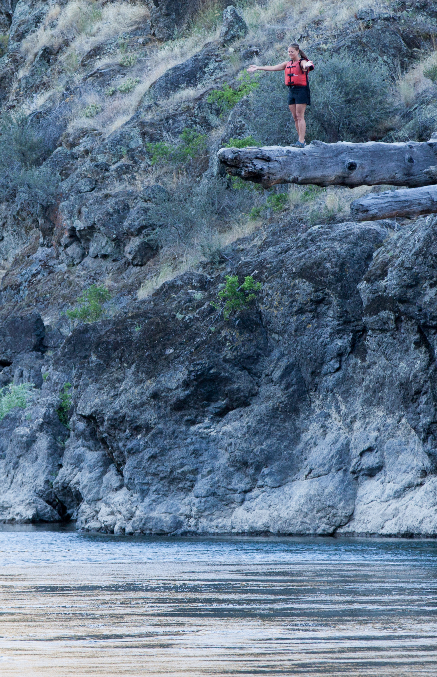
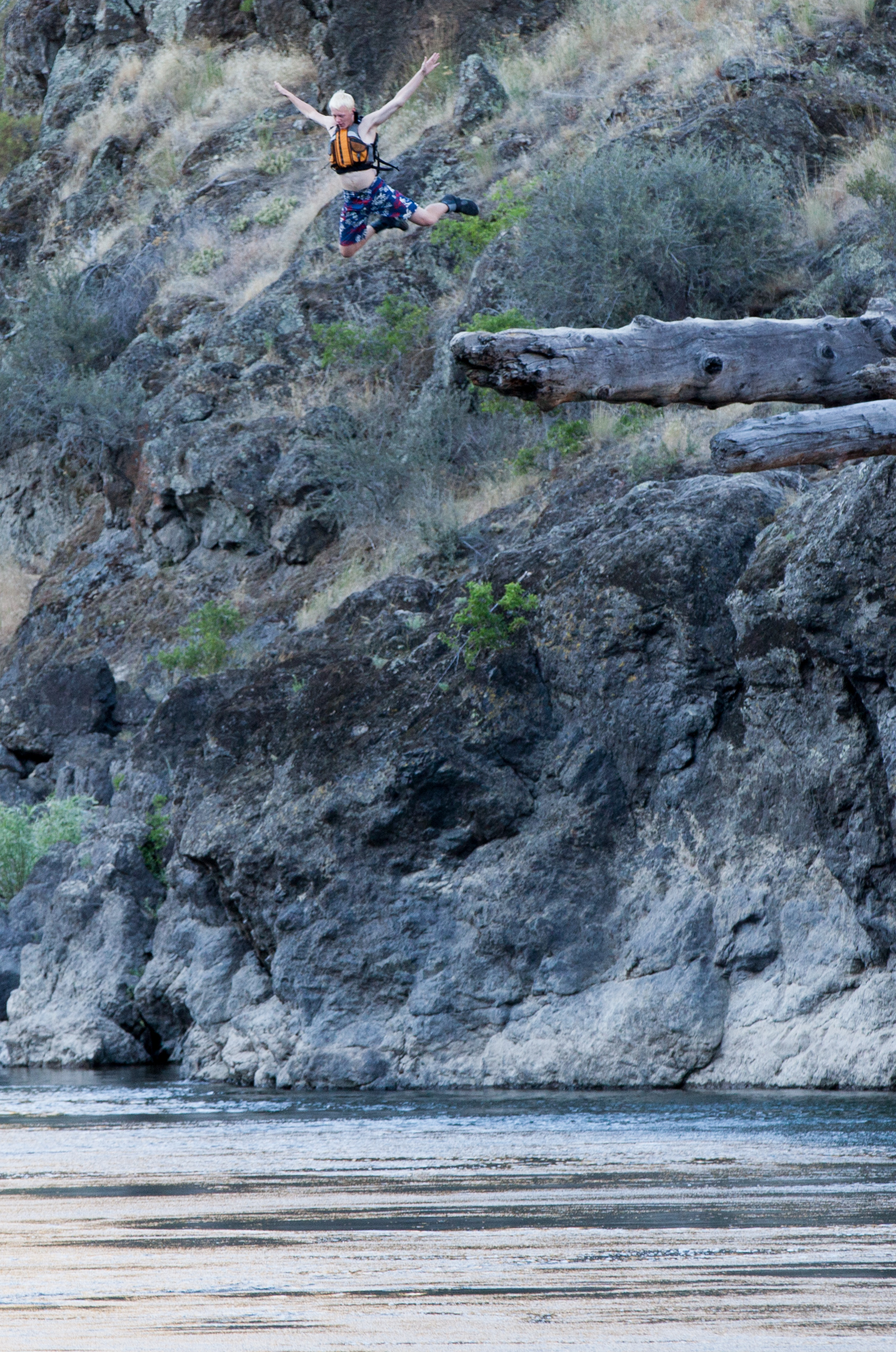
Rafting Lower Salmon 20120722-130.jpg
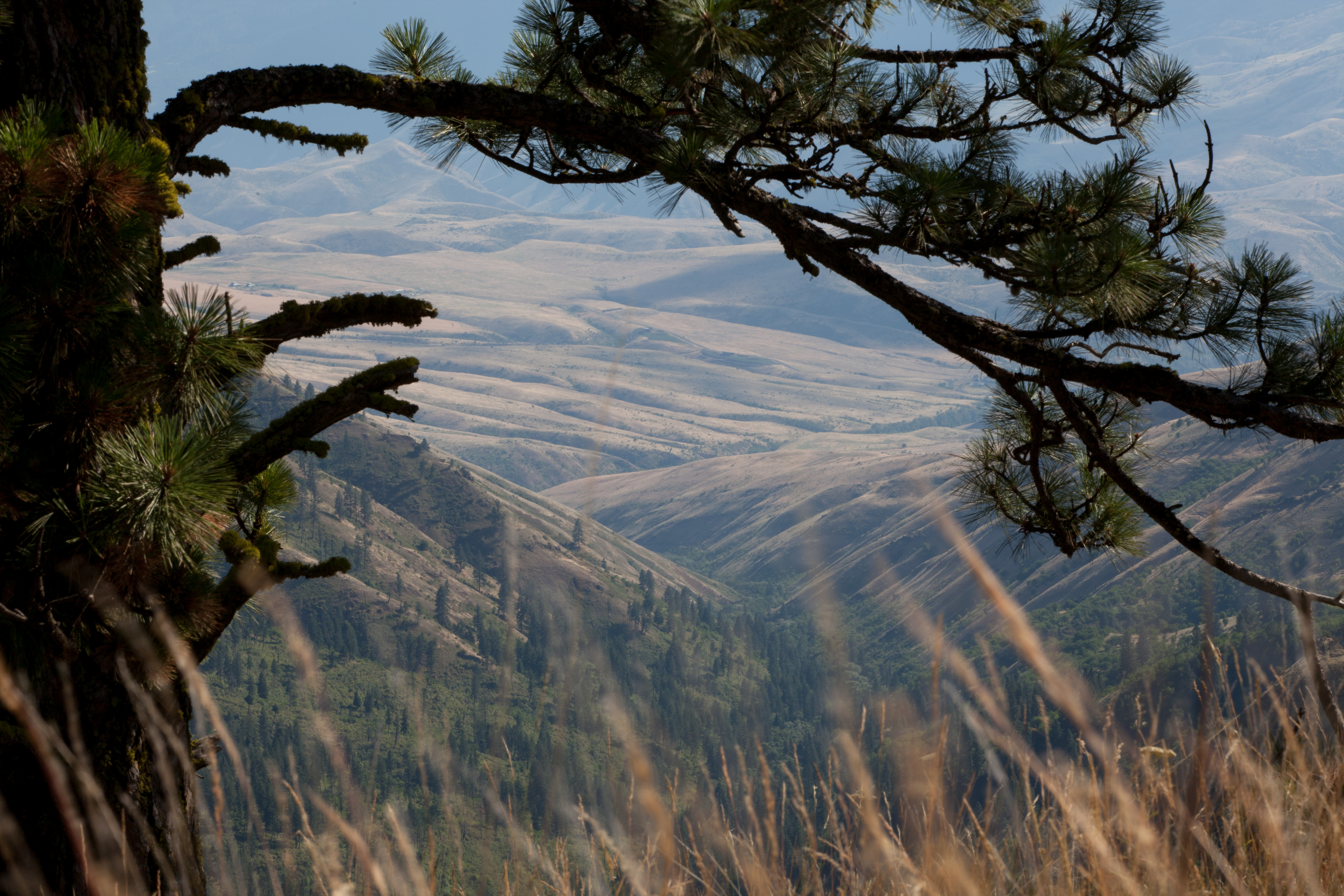
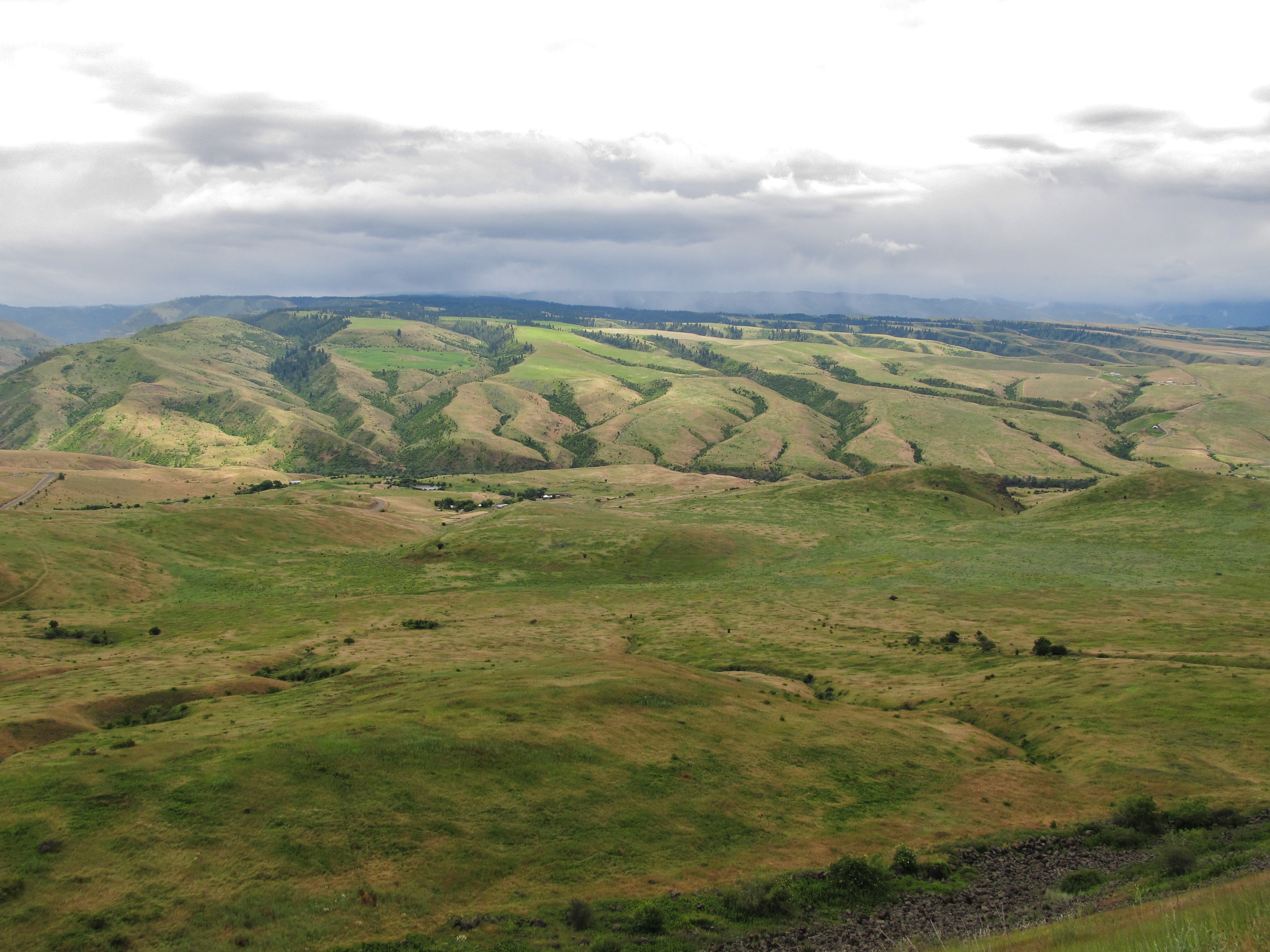
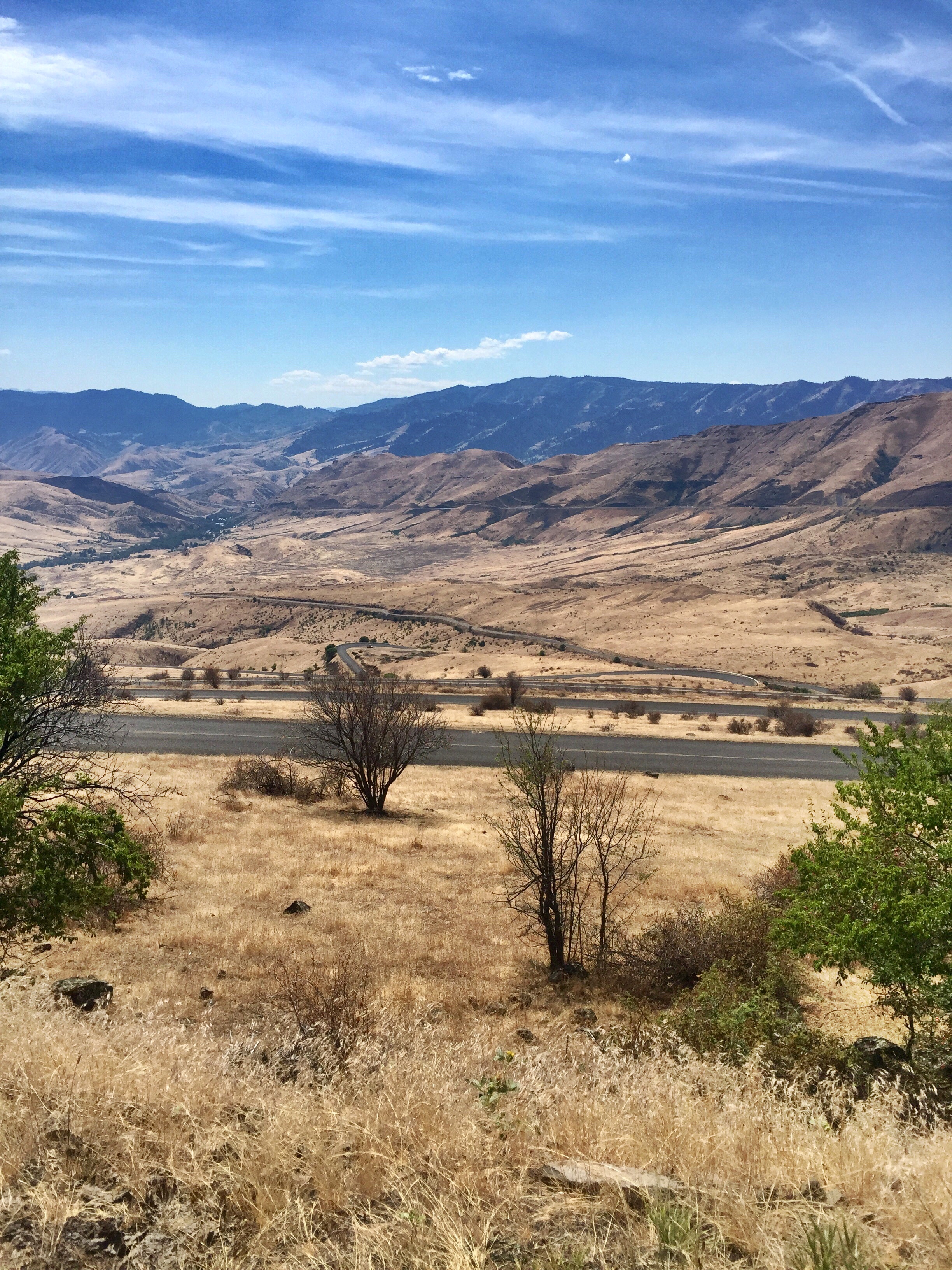
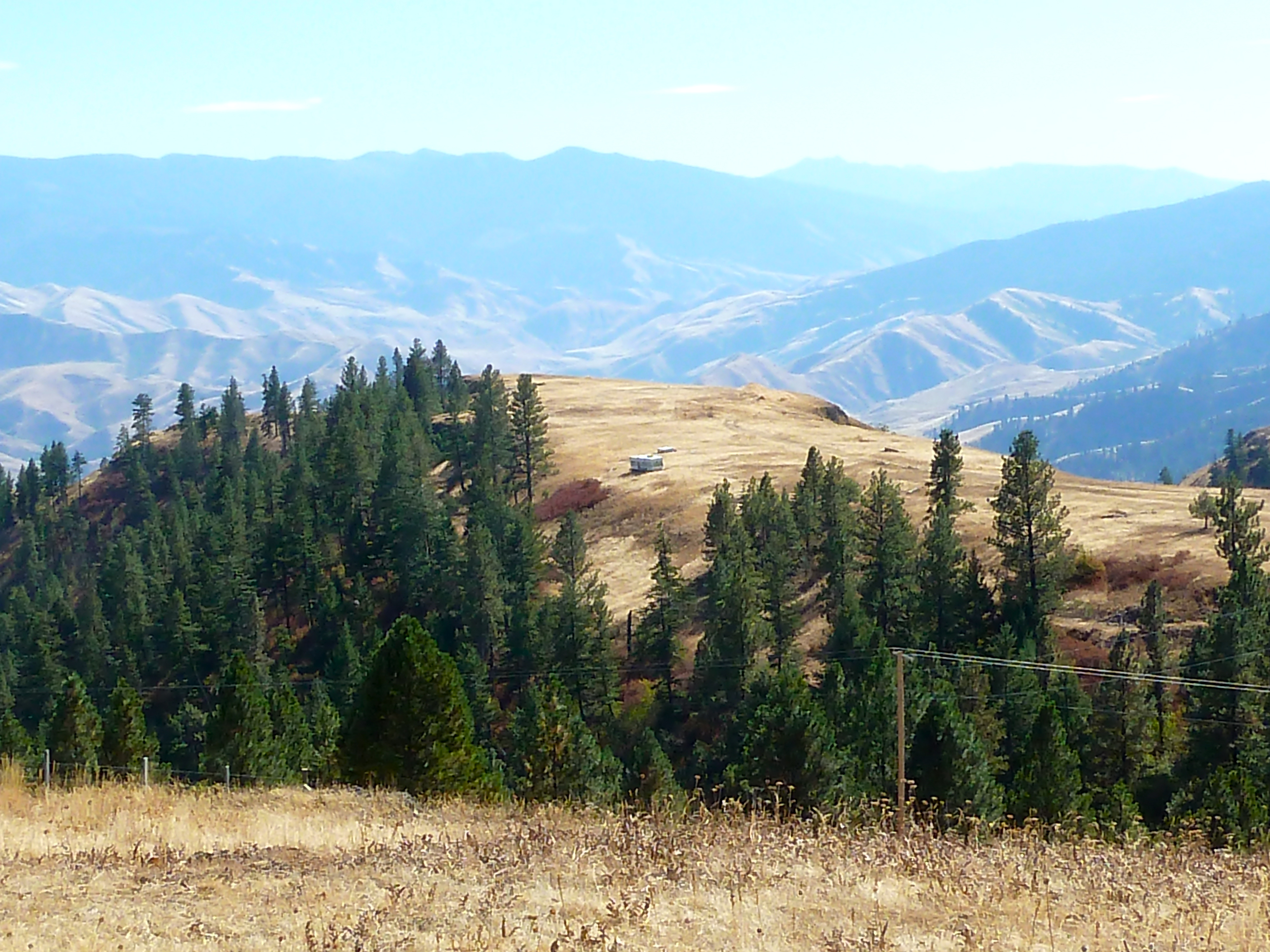
View of Camas Prairie close to Grangeville
Rafting Lower Salmon 20120722-104.jpg
Rafting Lower Salmon 20120722-146.jpg
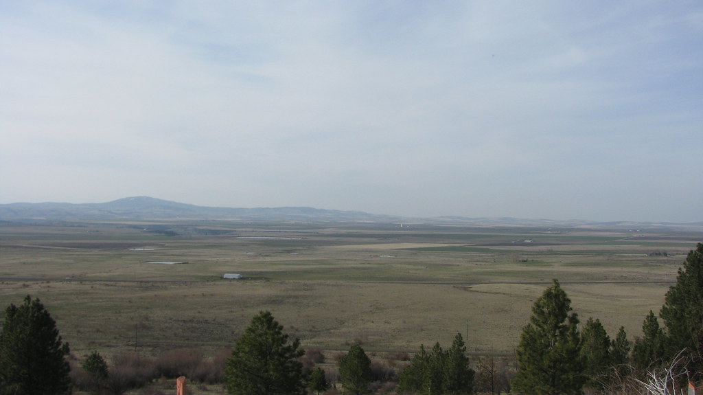
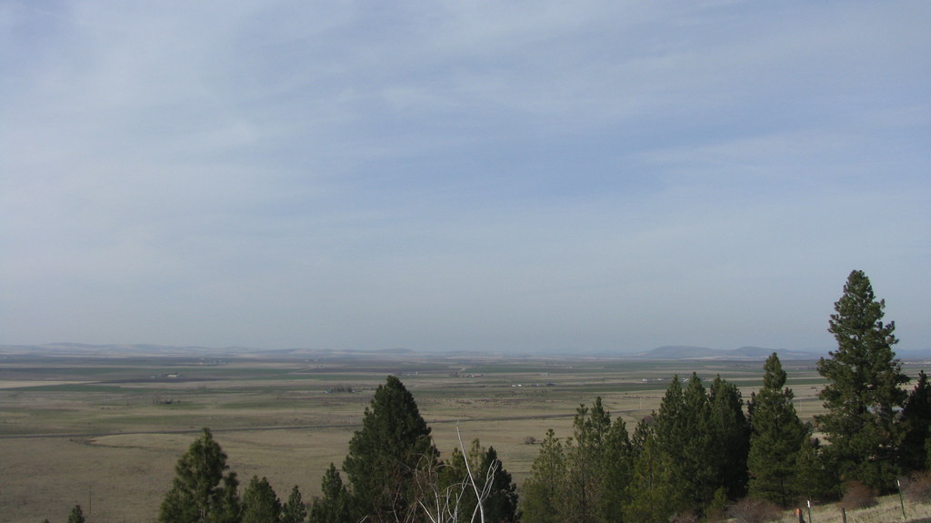
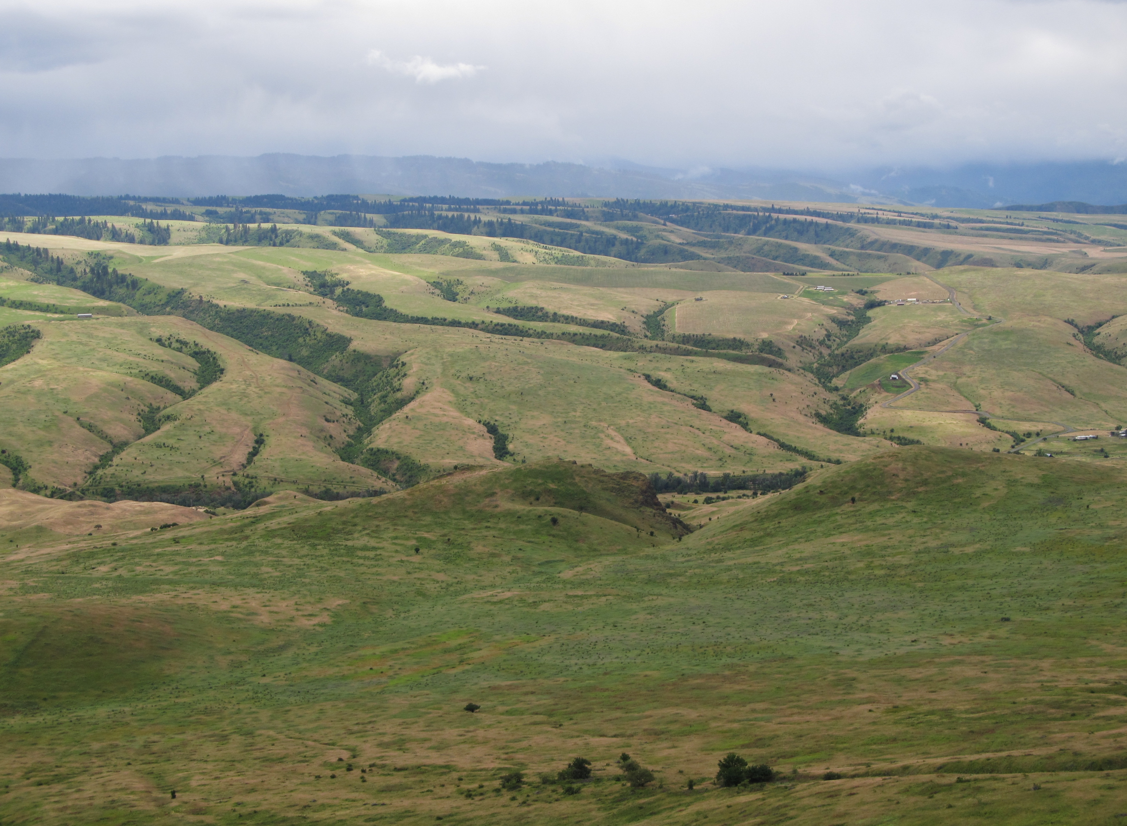
View of Camas Prairie close to Grangeville
Rafting Lower Salmon 20120722-105.jpg

Rafting Lower Salmon 20120722-090.jpg

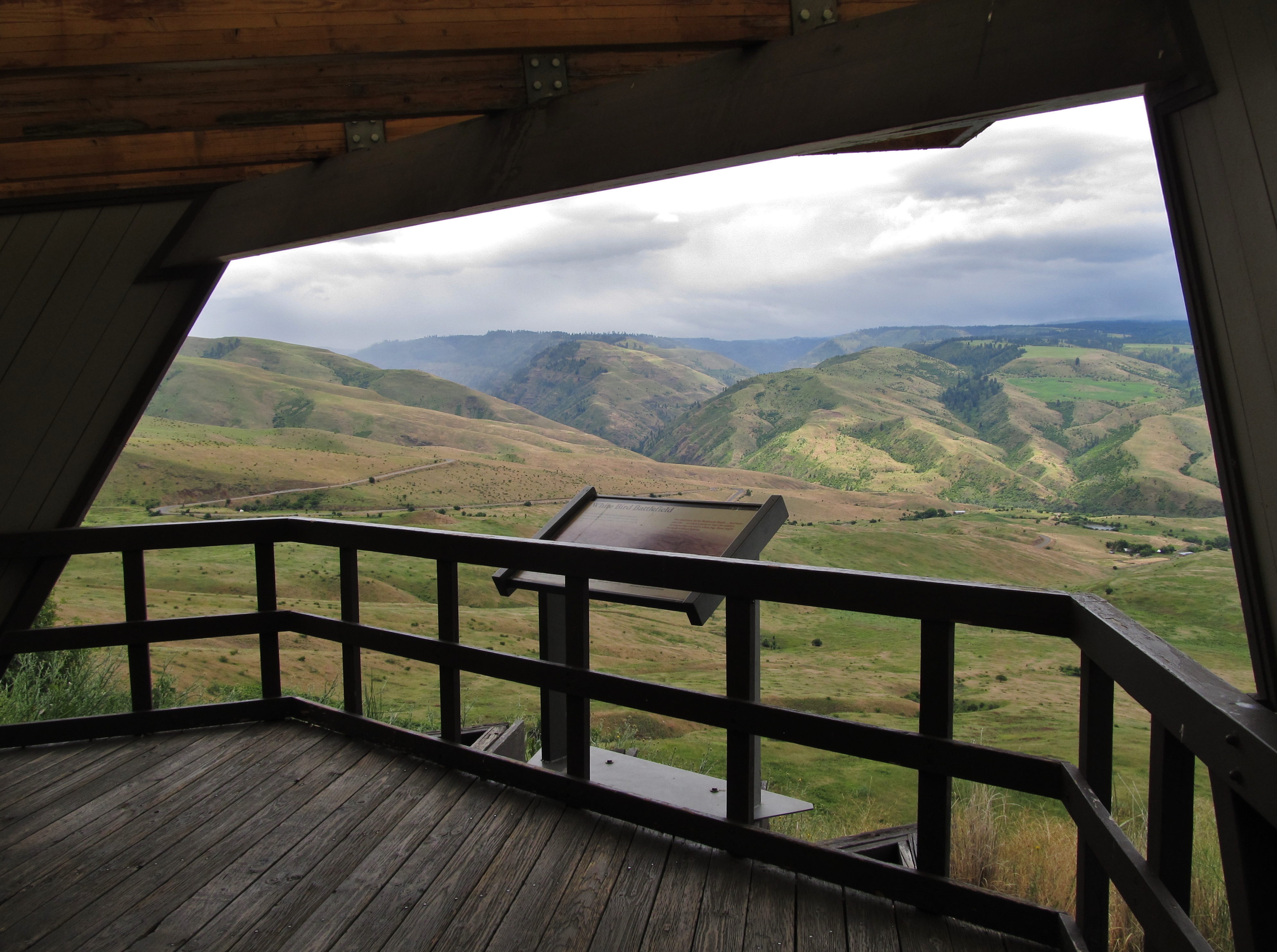
White Bird Battlefield
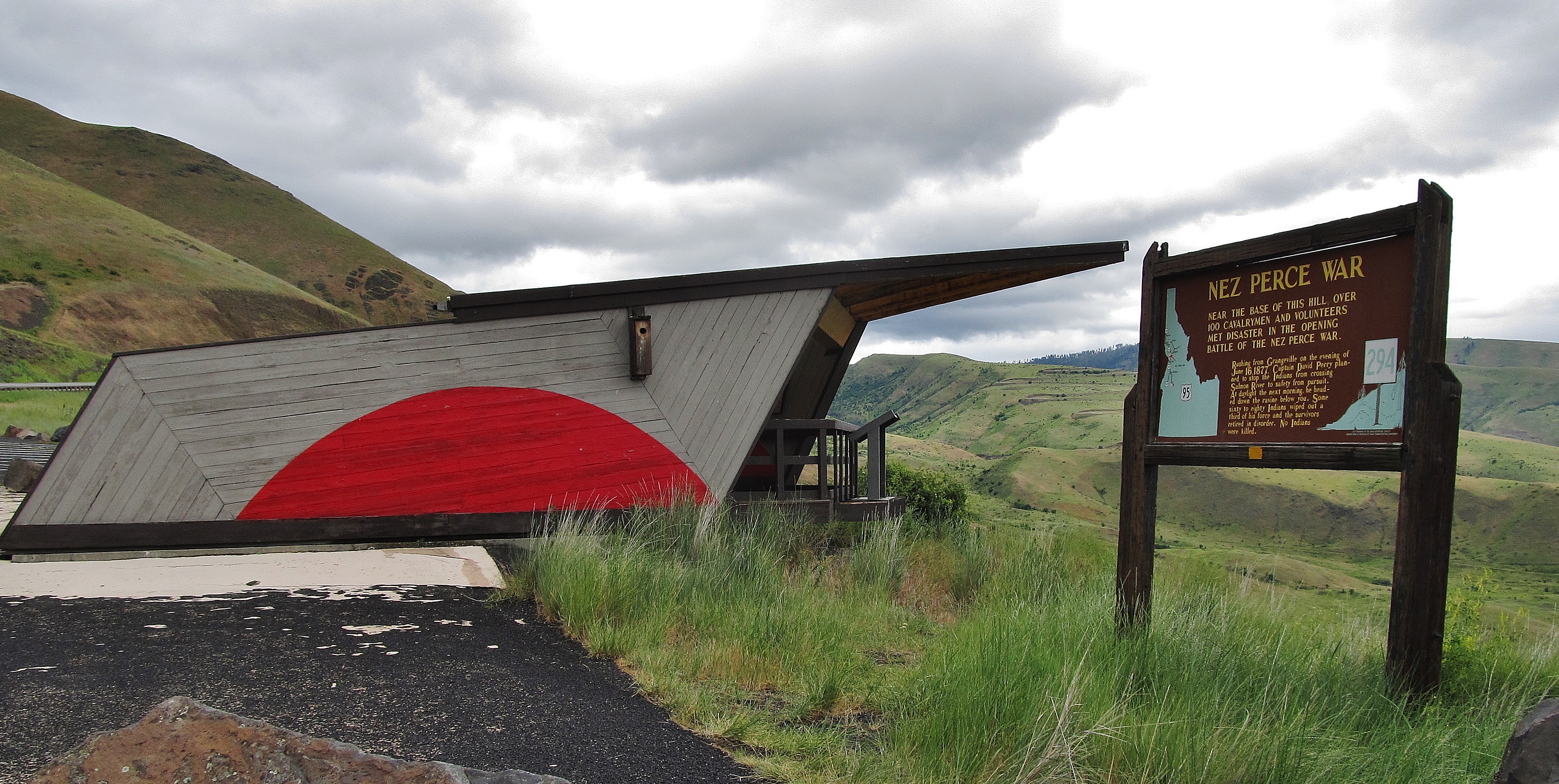
Nez Perce National Historical Park
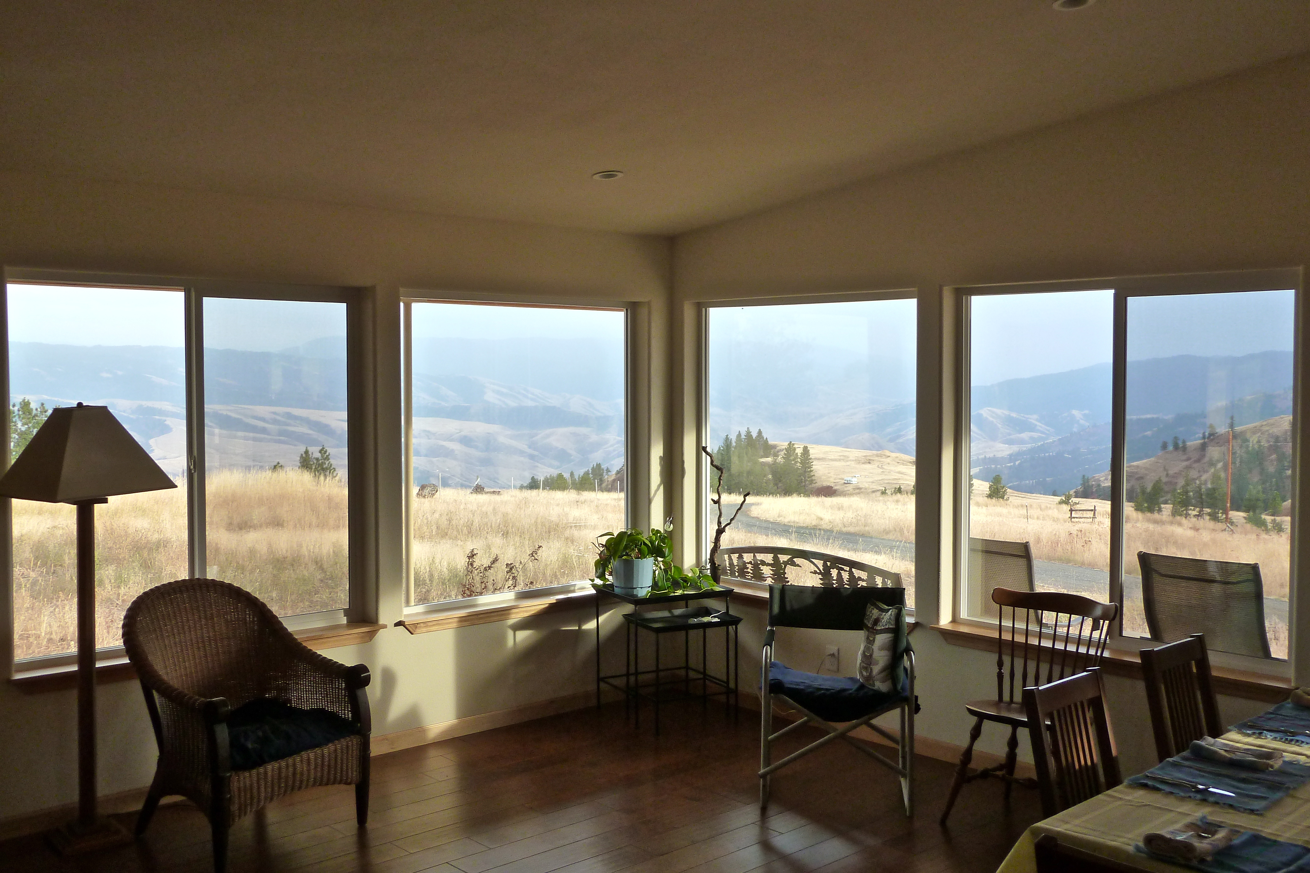
C&J's living room view
Nez Perce National Historical Park
Nez Perce National Historical Park
Nez Perce National Historical Park
Driving up to Canada.

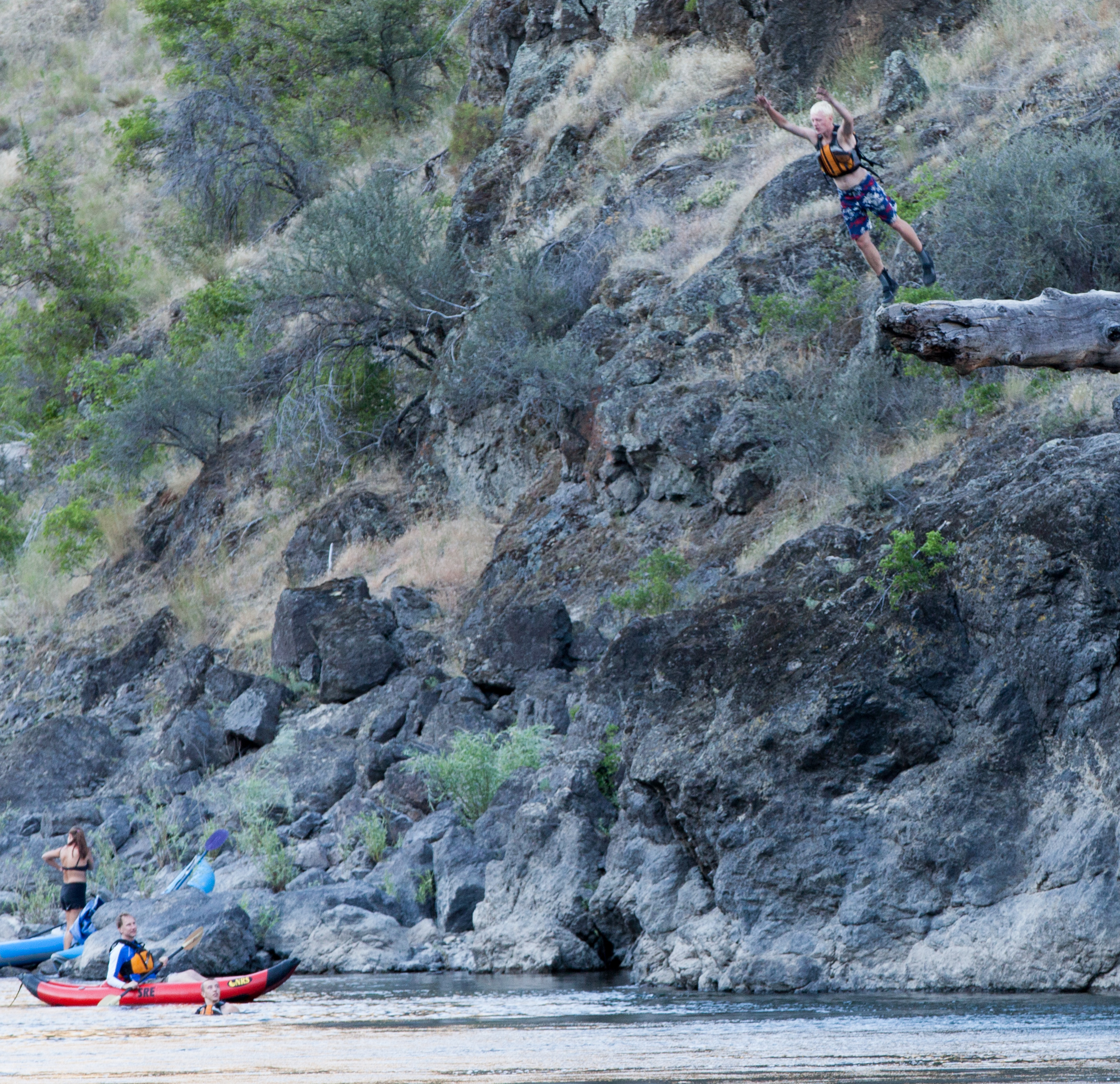
Rafting Lower Salmon 20120722-133.jpg
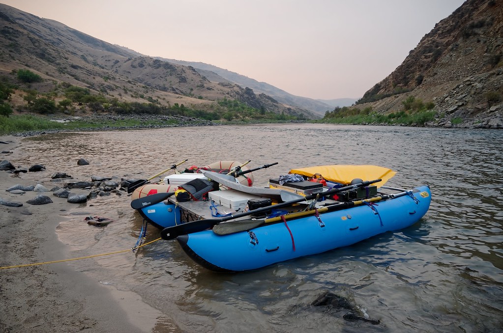
Our Cataraft on the Lower Salmon
Rafting Lower Salmon 20120723-247.jpg

The road down
Hairpins downhill :)
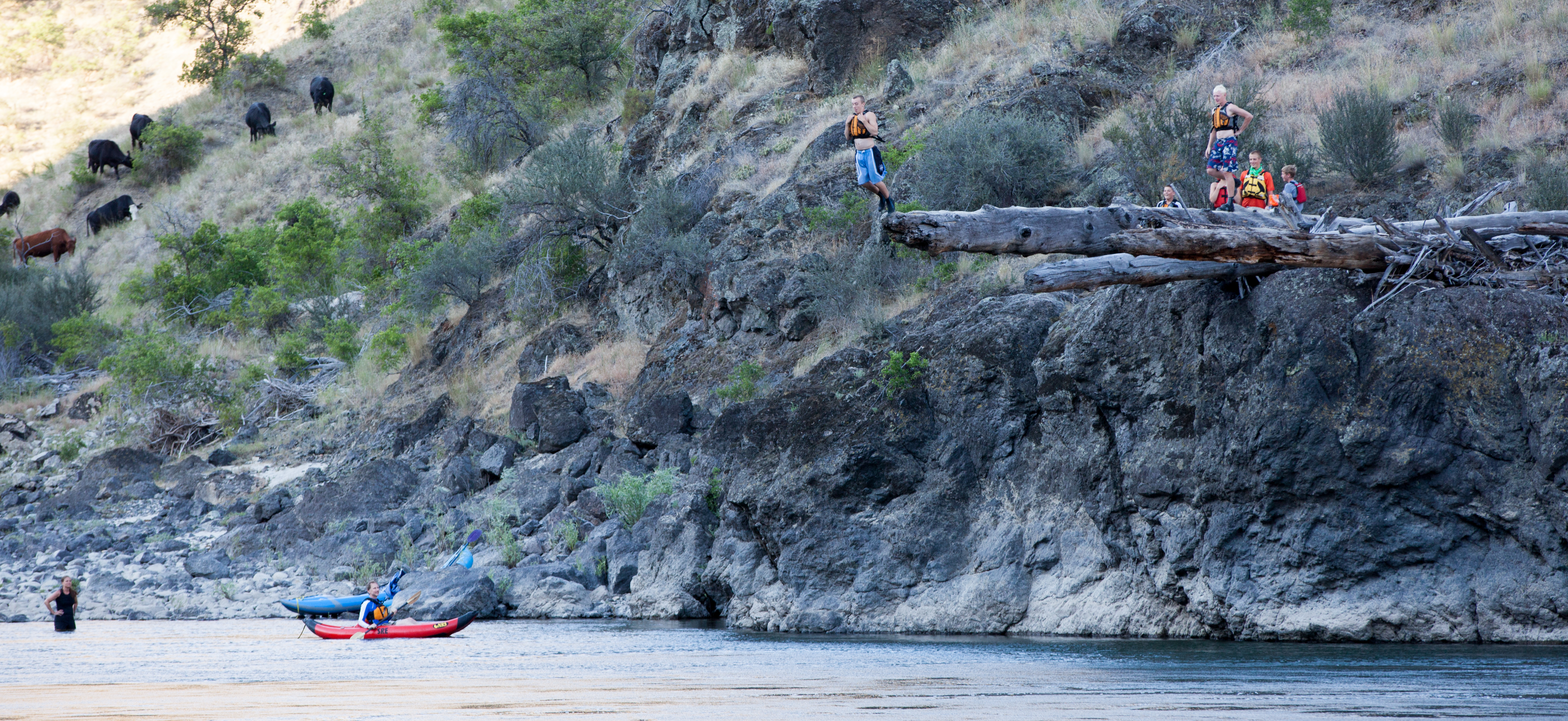
Rafting Lower Salmon 20120723-235.jpg
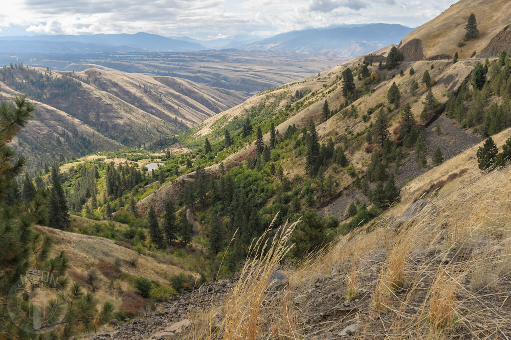
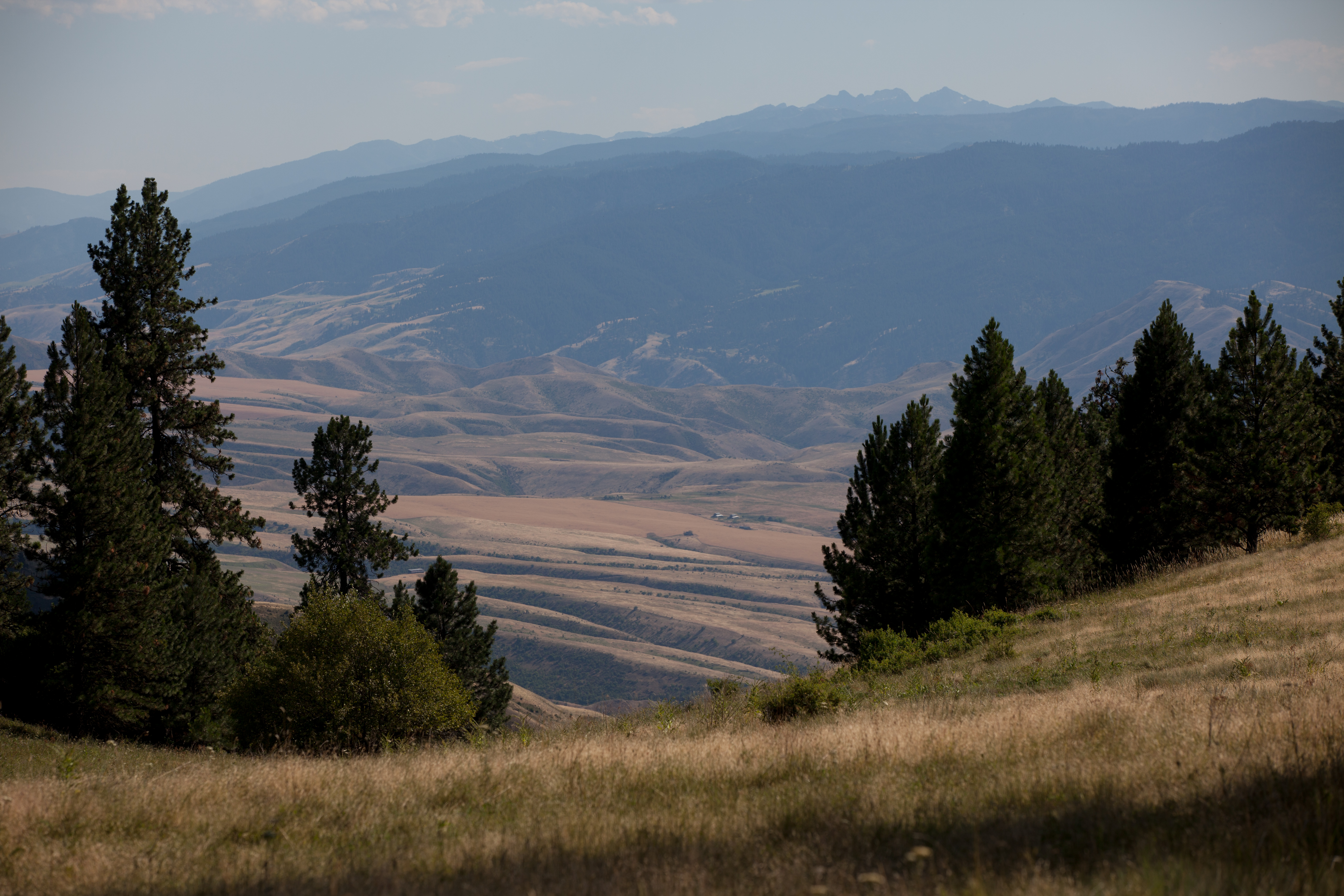
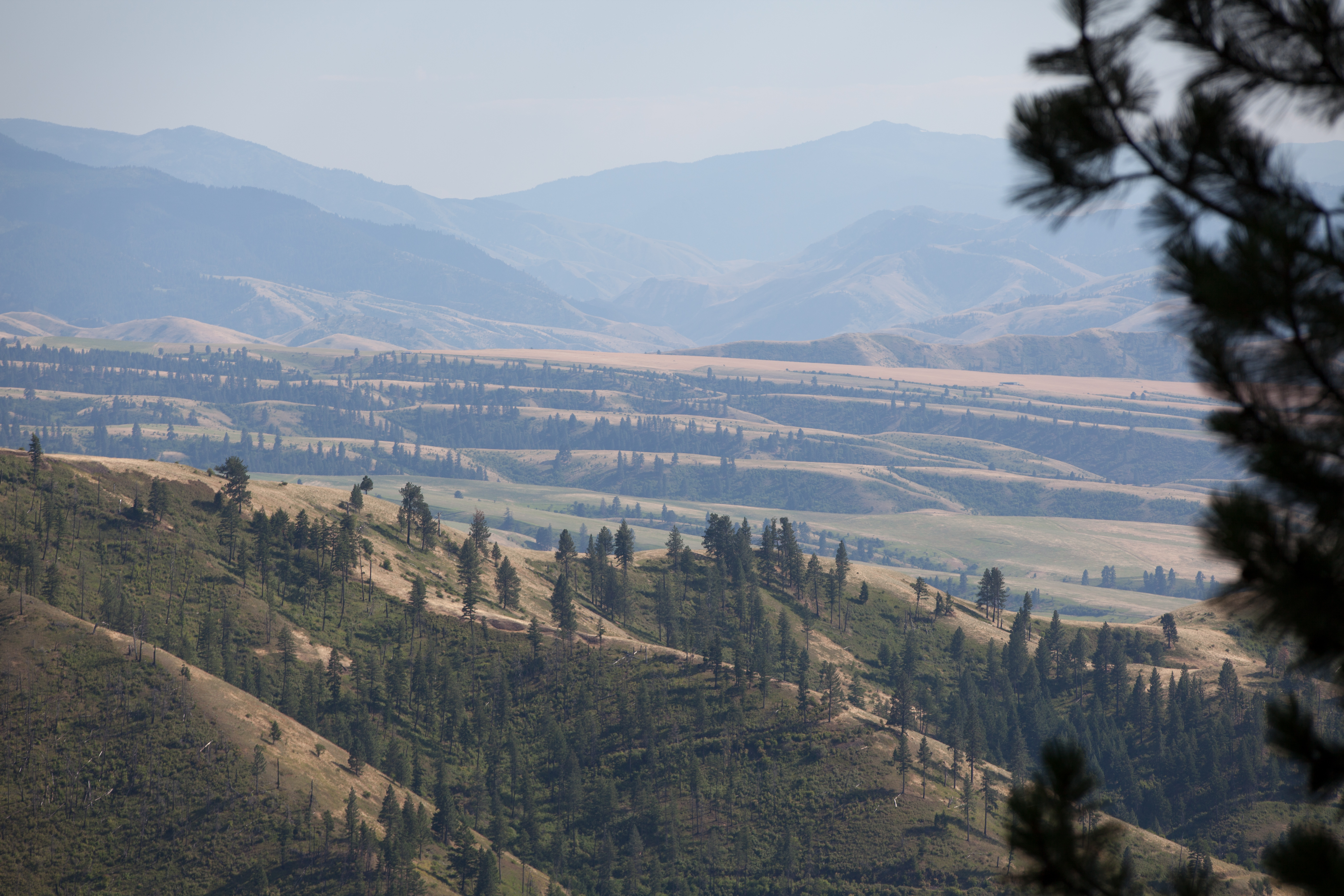
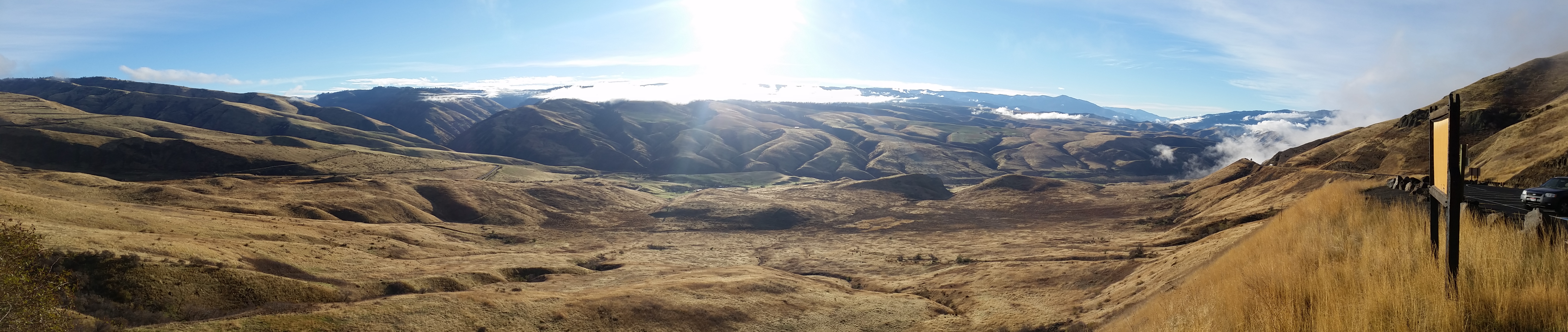
Down the valley

Rafting Lower Salmon 20120723-286.jpg

Rafting Lower Salmon 20120723-290.jpg
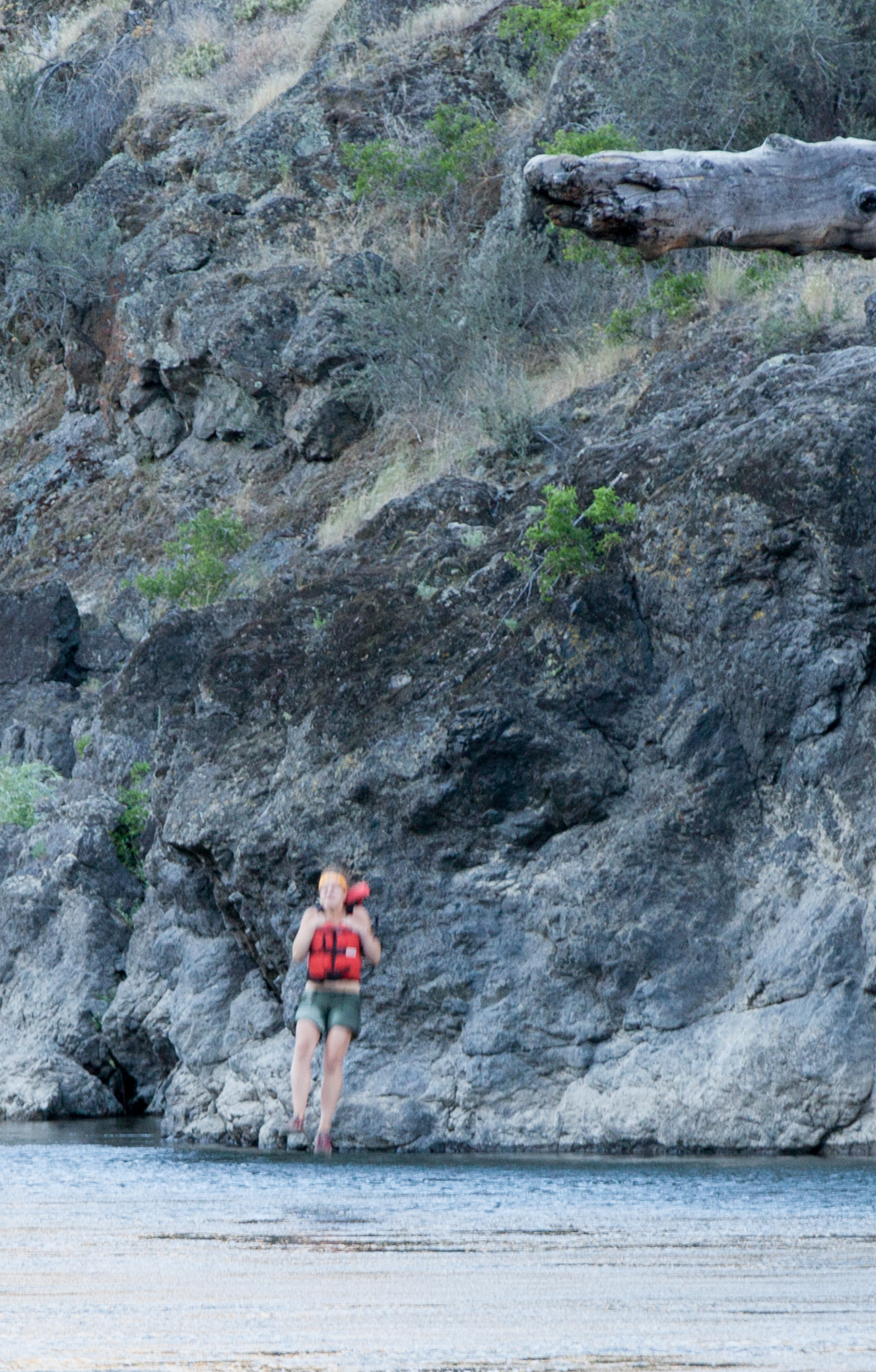
Rafting Lower Salmon 20120723-256.jpg
Rafting Lower Salmon 20120723-265.jpg
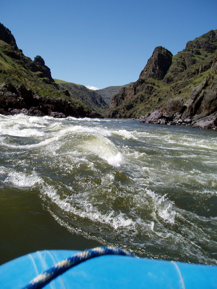
Lower Salmon River 2005

Rafting Lower Salmon 20120723-255.jpg
Rafting Lower Salmon 20120723-279.jpg

Convicts on White Bird Hill
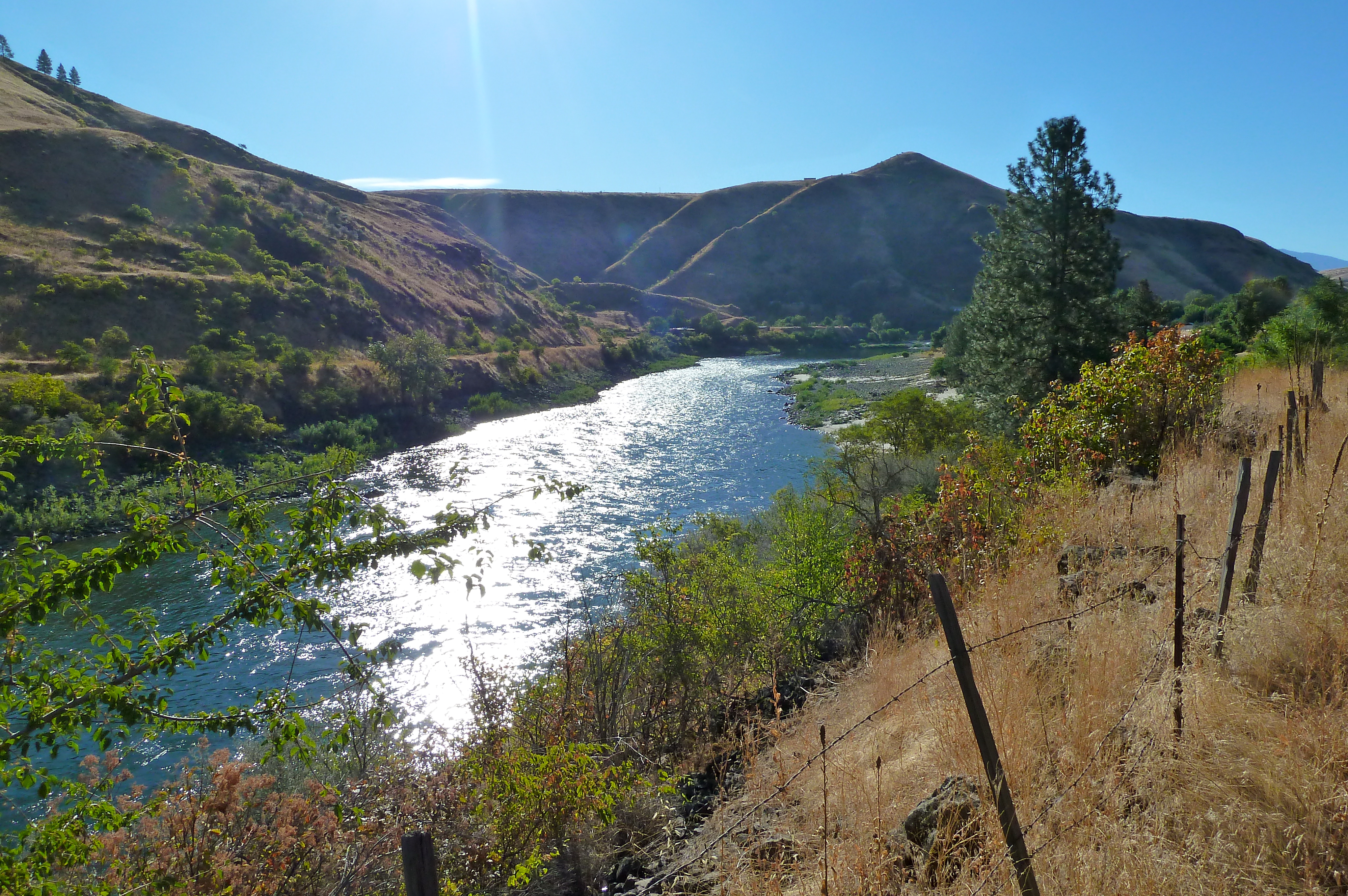
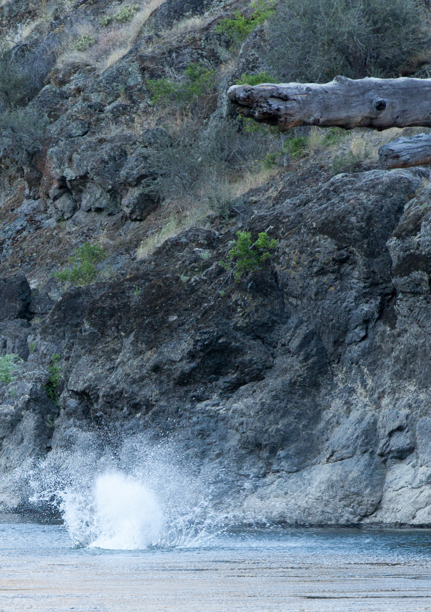
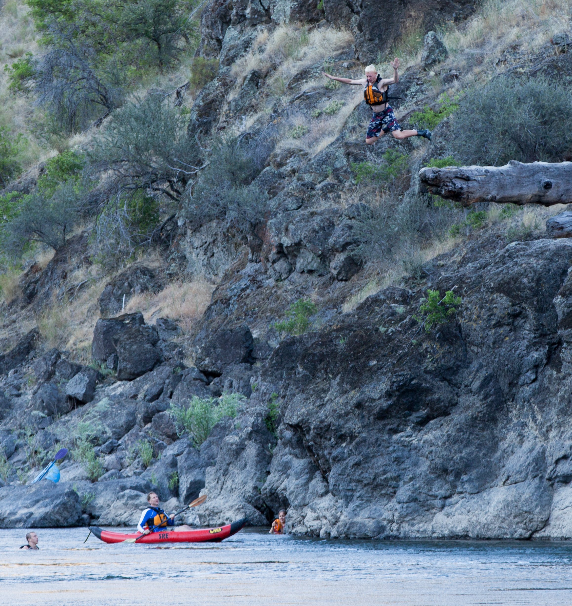
Lower Salmon River
Rafting Lower Salmon 20120723-242.jpg
Rafting Lower Salmon 20120723-254.jpg

Salmon River Bridge
Rafting Lower Salmon 20120723-243.jpg
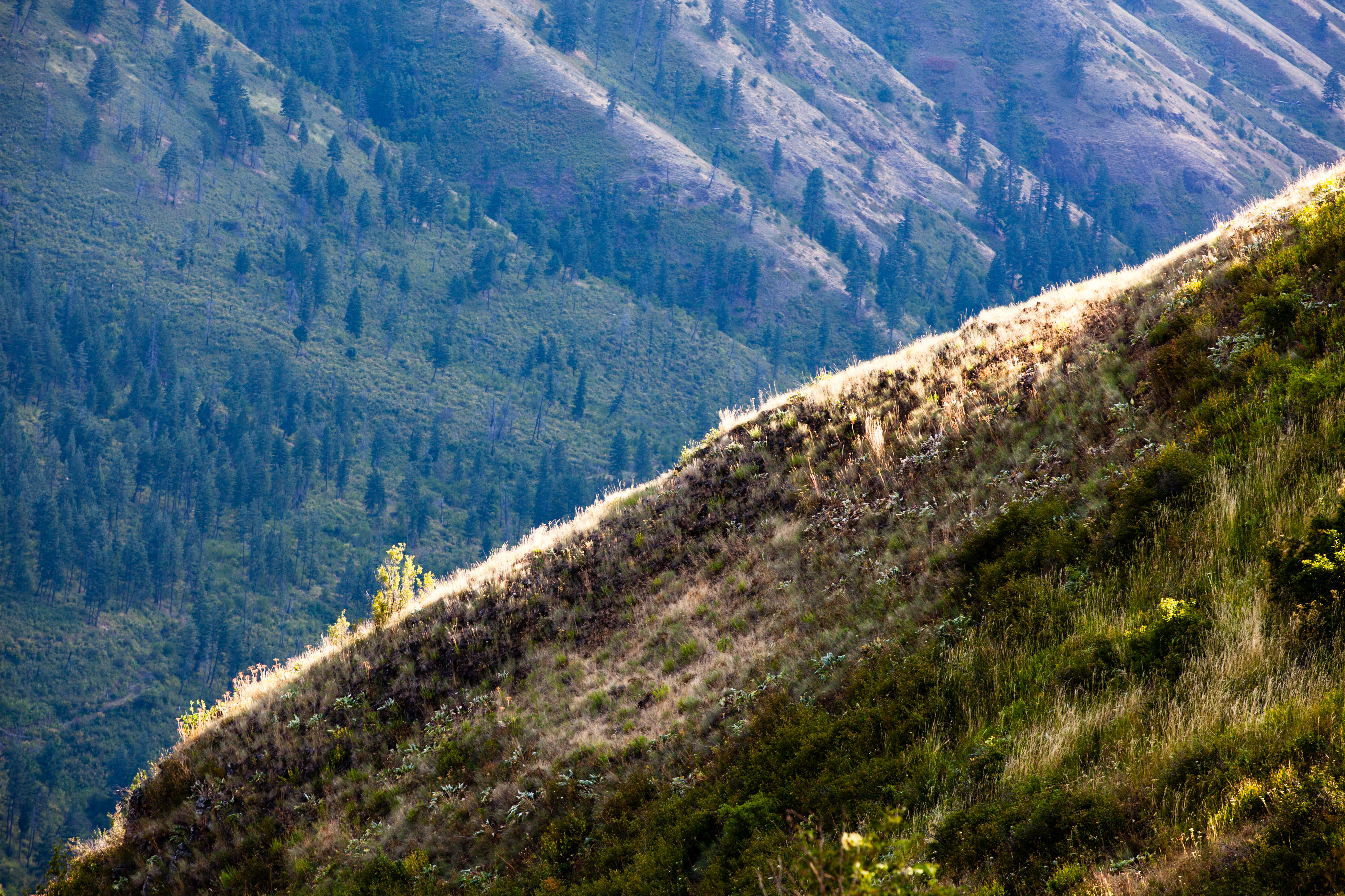
The plateau
Topographic Map of Old White Bird Hill Rd, Grangeville, ID, USA
Find elevation by address:

Places near Old White Bird Hill Rd, Grangeville, ID, USA:
White Bird Hill
532 Fish Hatchery Rd
734 Silver Lake Rd
119 Twin Pines Ln
20 Fish Hatchery Rd
White Bird
Grangeville
915 Doumecq Rd
Harmony
202 Bear Ridge Rd
662 Woodys Way
160 Buckhorn Rd
134 Doumecq Rd
Canfield
Hammer Creek Road
Blue Grouse Road
77 Canyon View Rd
21 Poor Farm Rd
141 Shuck Creek Rd
National Forest Development Road 279
Recent Searches:
- Elevation of Woolwine, VA, USA
- Elevation of Lumagwas Diversified Farmers Multi-Purpose Cooperative, Lumagwas, Adtuyon, RV32+MH7, Pangantucan, Bukidnon, Philippines
- Elevation of Homestead Ridge, New Braunfels, TX, USA
- Elevation of Orchard Road, Orchard Rd, Marlborough, NY, USA
- Elevation of 12 Hutchinson Woods Dr, Fletcher, NC, USA
- Elevation of Holloway Ave, San Francisco, CA, USA
- Elevation of Norfolk, NY, USA
- Elevation of - San Marcos Pass Rd, Santa Barbara, CA, USA
- Elevation of th Pl SE, Issaquah, WA, USA
- Elevation of 82- D Rd, Captain Cook, HI, USA