Elevation of Harmony, White Bird, ID, USA
Location: United States > Idaho > White Bird >
Longitude: -116.21763
Latitude: 45.710946
Elevation: 988m / 3241feet
Barometric Pressure: 90KPa
Elevation Map:
Satellite Map:
Related Photos:
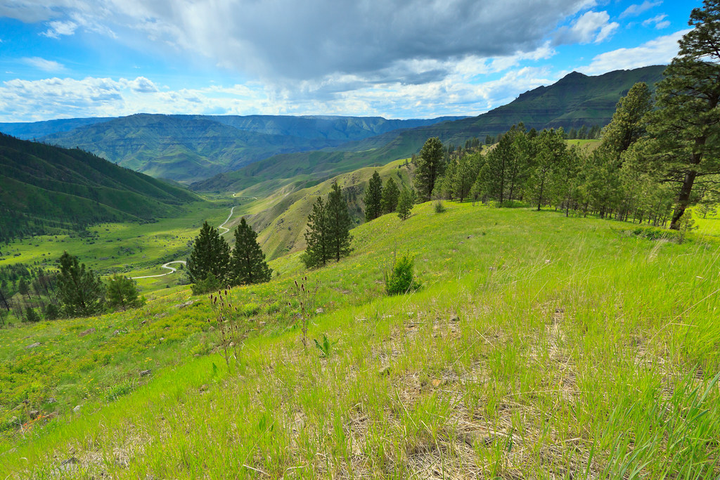
Pittsburg Saddle

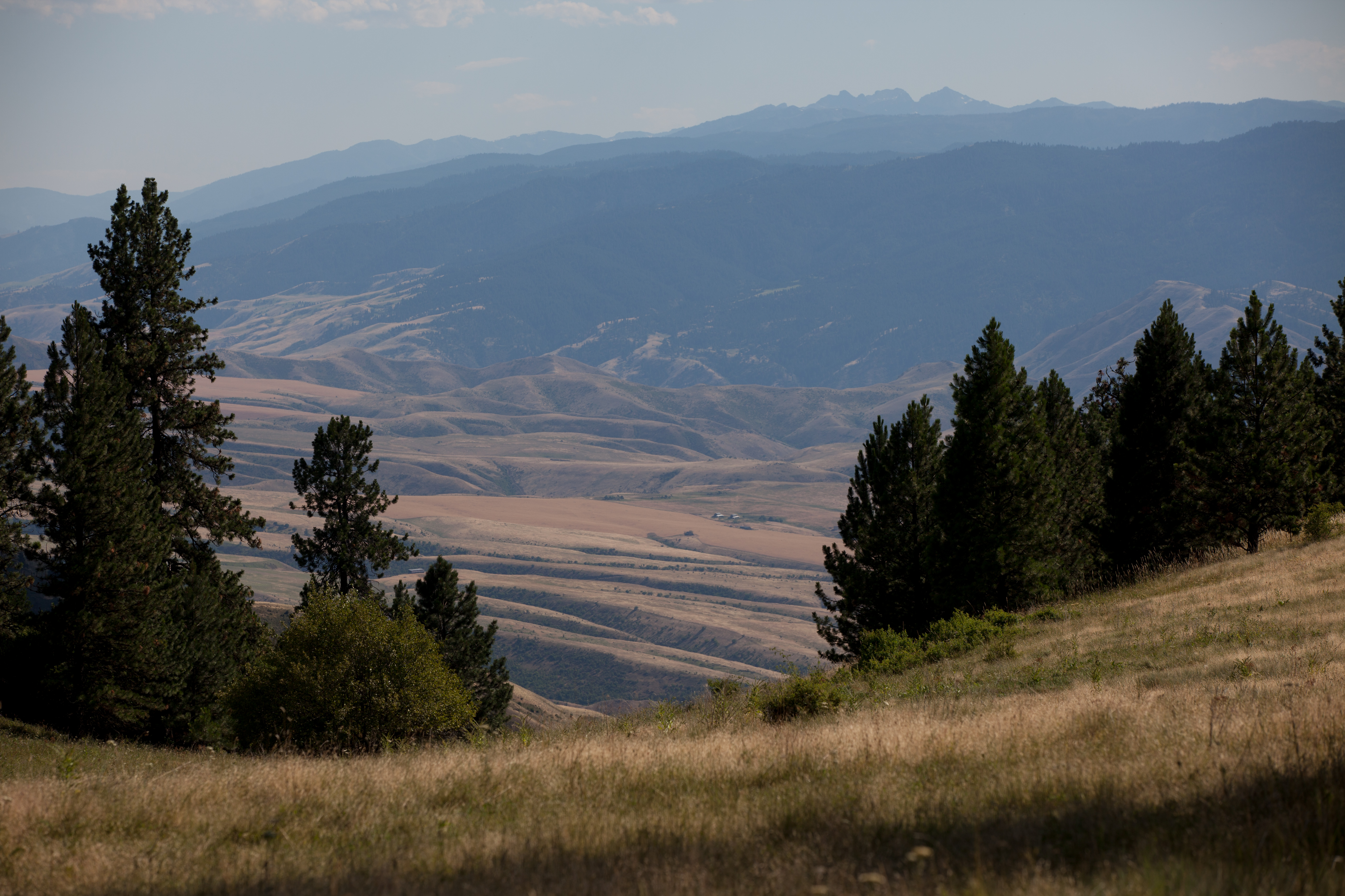
Old hwy 95 - White Bird Hill road

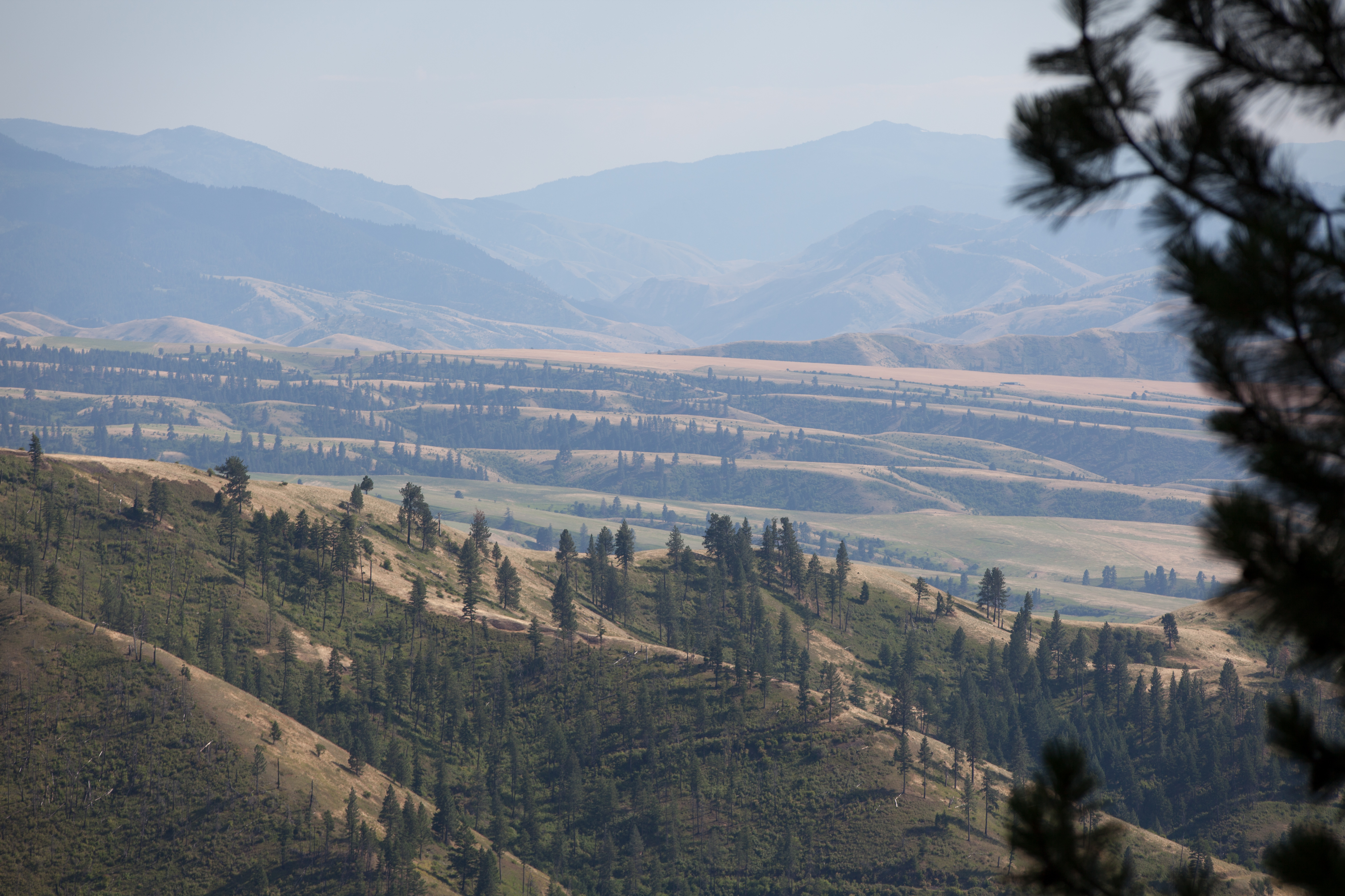
White Bird Canyon battlefield

White Bird Canyon battlefield

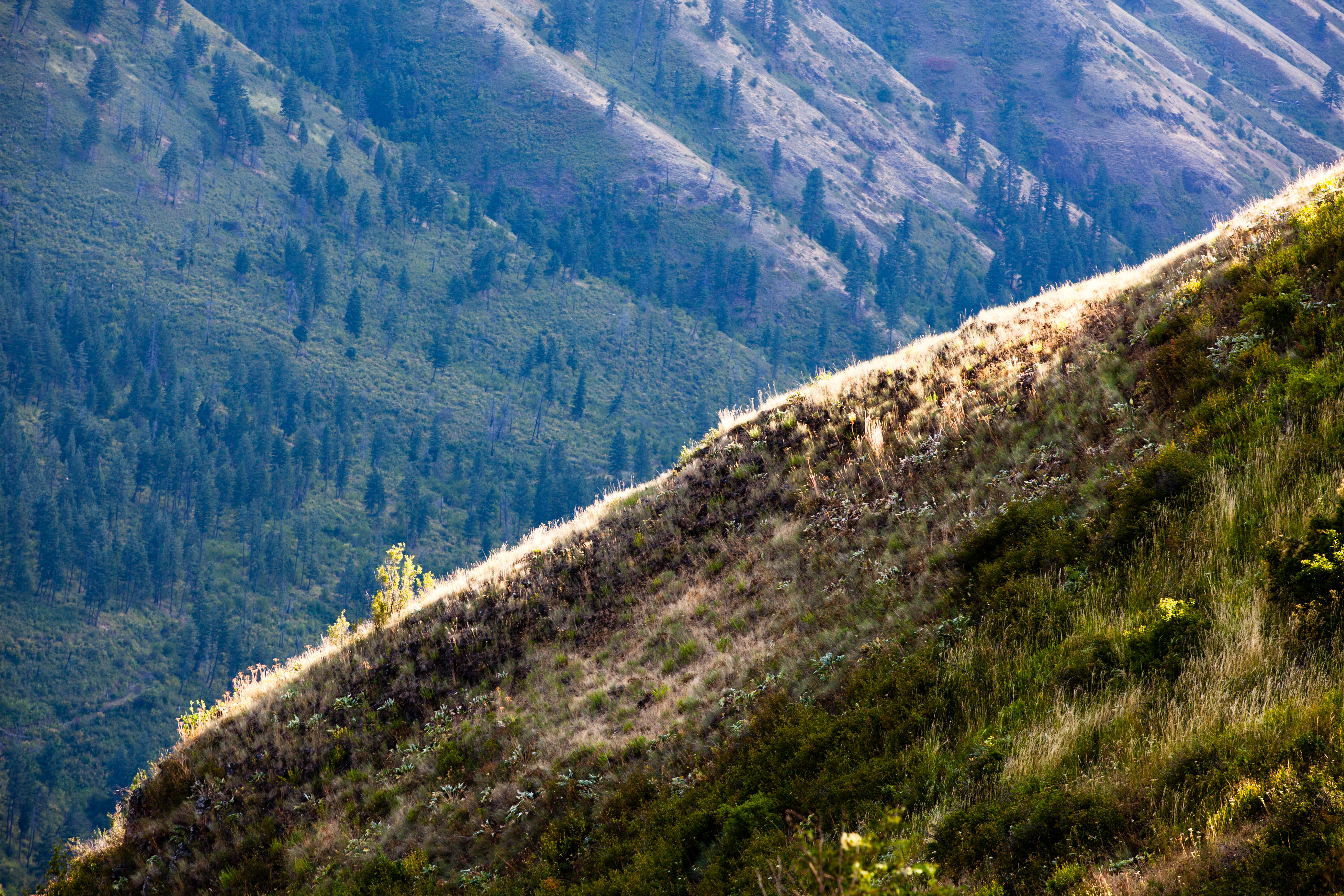
Upper meadow
Rafting Lower Salmon 20120722-104.jpg

Rafting Lower Salmon 20120722-133.jpg
Rafting Lower Salmon 20120722-146.jpg

One Switchback of many on White Bird Hill - a steep grade on Hwy 95 Central Idaho just above the time line 120817-094126 C4Tc
Rafting Lower Salmon 20120722-105.jpg

Rafting Lower Salmon 20120722-090.jpg
Topographic Map of Harmony, White Bird, ID, USA
Find elevation by address:

Places near Harmony, White Bird, ID, USA:
662 Woodys Way
200 Nut Basin Rd
White Bird
134 Doumecq Rd
Hammer Creek Road
White Bird Hill
160 Buckhorn Rd
141 Shuck Creek Rd
2187 Old White Bird Hill Rd
915 Doumecq Rd
Blue Grouse Road
77 Canyon View Rd
202 Bear Ridge Rd
532 Fish Hatchery Rd
119 Twin Pines Ln
734 Silver Lake Rd
Lucile
Canfield
230 Seven U Ranch Rd
National Forest Development Road 279
Recent Searches:
- Elevation of Corso Fratelli Cairoli, 35, Macerata MC, Italy
- Elevation of Tallevast Rd, Sarasota, FL, USA
- Elevation of 4th St E, Sonoma, CA, USA
- Elevation of Black Hollow Rd, Pennsdale, PA, USA
- Elevation of Oakland Ave, Williamsport, PA, USA
- Elevation of Pedrógão Grande, Portugal
- Elevation of Klee Dr, Martinsburg, WV, USA
- Elevation of Via Roma, Pieranica CR, Italy
- Elevation of Tavkvetili Mountain, Georgia
- Elevation of Hartfords Bluff Cir, Mt Pleasant, SC, USA