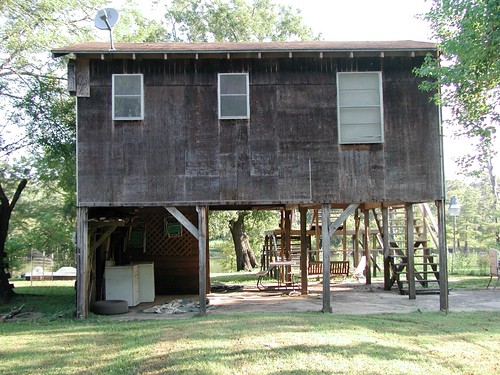
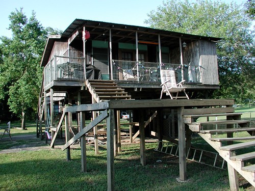
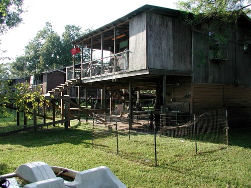
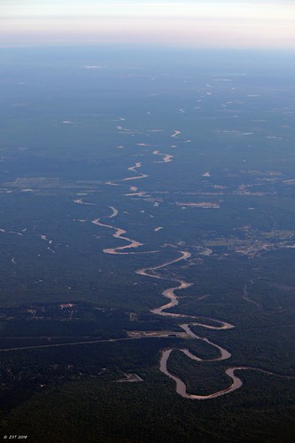
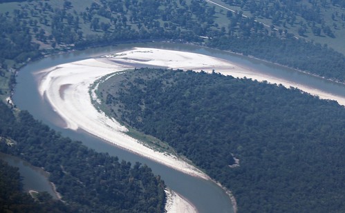
Elevation of West Street, West St, Liberty, TX, USA
Location: United States > Texas > Liberty County > Liberty >
Longitude: -94.778449
Latitude: 30.0570528
Elevation: 13m / 43feet
Barometric Pressure: 101KPa
Related Photos:
Topographic Map of West Street, West St, Liberty, TX, USA
Find elevation by address:

Places near West Street, West St, Liberty, TX, USA:
109 Lone Oak Ln
Liberty
Main St, Liberty, TX, USA
1516 Sam Houston St
Ames, TX, USA
W Main St, Ames, TX, USA
Ames
2359 Fm563
710 E Main St
207 Milo St
600 County Rd 450
County Road 459
FM, Dayton, TX, USA
108 S Prairie St
Dayton
609 N Main St
608 N Cleveland St
443 Reneau Rd
7548 Fm 563 Rd
126 Co Rd 430
Recent Searches:
- Elevation of Beall Road, Beall Rd, Florida, USA
- Elevation of Leguwa, Nepal
- Elevation of County Rd, Enterprise, AL, USA
- Elevation of Kolchuginsky District, Vladimir Oblast, Russia
- Elevation of Shustino, Vladimir Oblast, Russia
- Elevation of Lampiasi St, Sarasota, FL, USA
- Elevation of Elwyn Dr, Roanoke Rapids, NC, USA
- Elevation of Congressional Dr, Stevensville, MD, USA
- Elevation of Bellview Rd, McLean, VA, USA
- Elevation of Stage Island Rd, Chatham, MA, USA
