Elevation of Main St, Liberty, TX, USA
Location: United States > Texas > Liberty County > Liberty >
Longitude: -94.795593
Latitude: 30.0580028
Elevation: 11m / 36feet
Barometric Pressure: 101KPa
Elevation Map:
Satellite Map:
Related Photos:
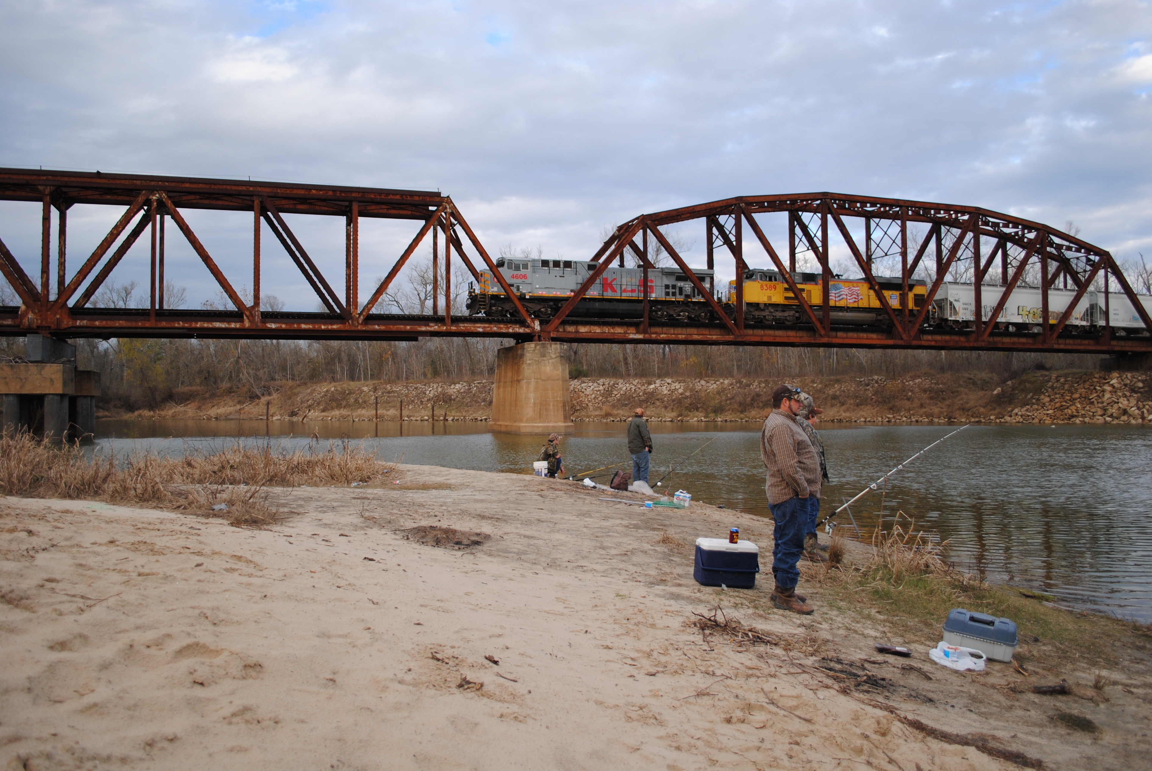
Fishing as KCS 4606 Crosses Trinity River on Union Pacific Railroad Bridge, Liberty, Texas 1301031610

Point Bar on the Trinity River

High Island and Bolivar Trip

Through the corral

Once red barn 1

High Island and Bolivar Trip

Fishing as KCS 4606 Crosses Trinity River on Union Pacific Railroad Bridge, Liberty, Texas 1301031608BW
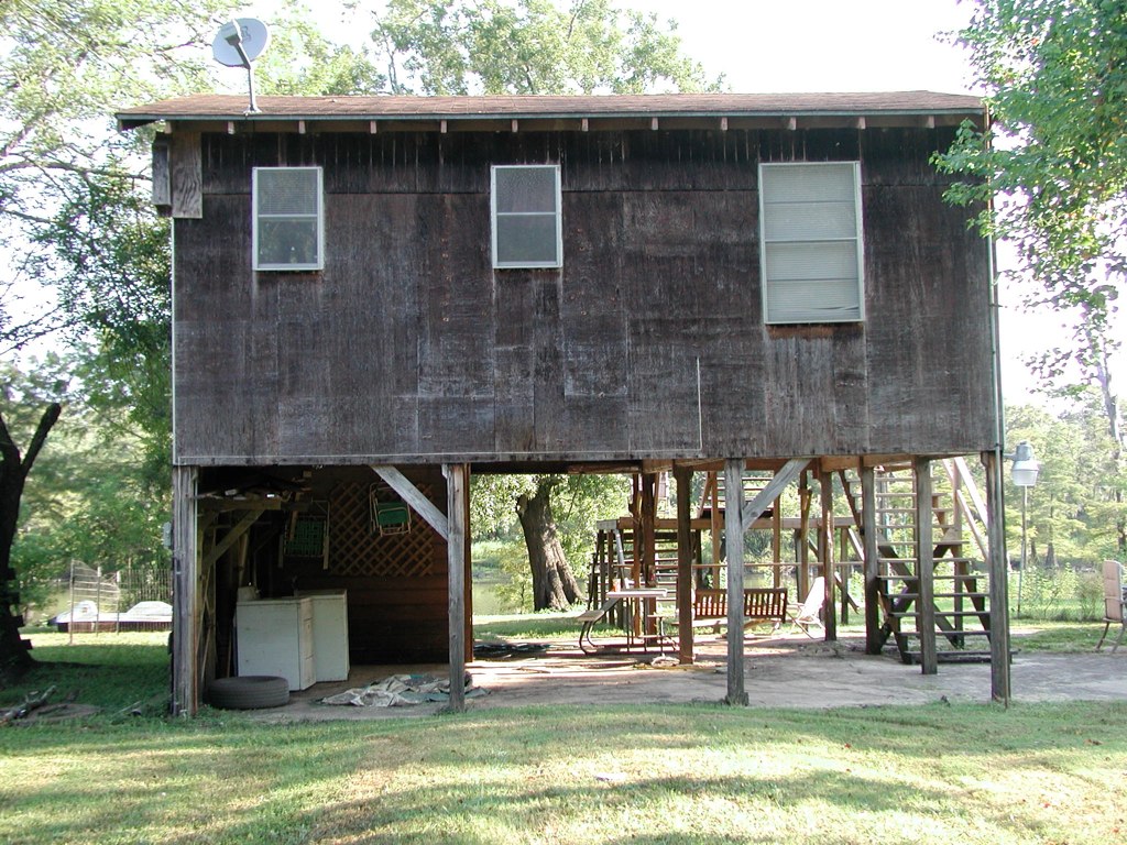
Front View

Back View

Side View

High Island and Bolivar Trip

High Island and Bolivar Trip

#texas #sunrise #magichour #cloudporn ... #streetphotography #vagabond

Costa Rica 2012 013

The scary sinkhole ... cracks all over the place

20150609_065927~2
Topographic Map of Main St, Liberty, TX, USA
Find elevation by address:

Places near Main St, Liberty, TX, USA:
Liberty
1516 Sam Houston St
West Street
109 Lone Oak Ln
Ames, TX, USA
2359 Fm563
W Main St, Ames, TX, USA
Ames
710 E Main St
207 Milo St
108 S Prairie St
Dayton
County Road 459
FM, Dayton, TX, USA
600 County Rd 450
609 N Main St
608 N Cleveland St
443 Reneau Rd
FM, Dayton, TX, USA
126 Co Rd 430
Recent Searches:
- Elevation of Vista Blvd, Sparks, NV, USA
- Elevation of 15th Ave SE, St. Petersburg, FL, USA
- Elevation of Beall Road, Beall Rd, Florida, USA
- Elevation of Leguwa, Nepal
- Elevation of County Rd, Enterprise, AL, USA
- Elevation of Kolchuginsky District, Vladimir Oblast, Russia
- Elevation of Shustino, Vladimir Oblast, Russia
- Elevation of Lampiasi St, Sarasota, FL, USA
- Elevation of Elwyn Dr, Roanoke Rapids, NC, USA
- Elevation of Congressional Dr, Stevensville, MD, USA