Elevation of West Salisbury, PA, USA
Location: United States > Pennsylvania > Somerset County > Elk Lick Township >
Longitude: -79.095027
Latitude: 39.7542485
Elevation: 611m / 2005feet
Barometric Pressure: 94KPa
Elevation Map:
Satellite Map:
Related Photos:
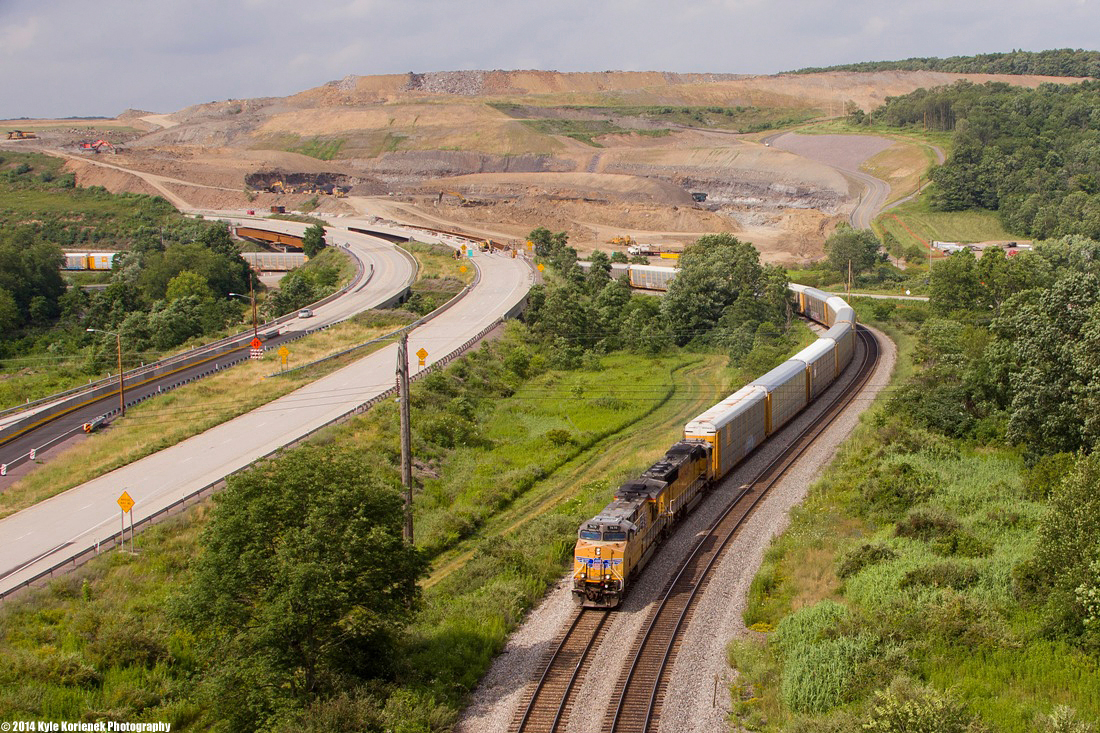
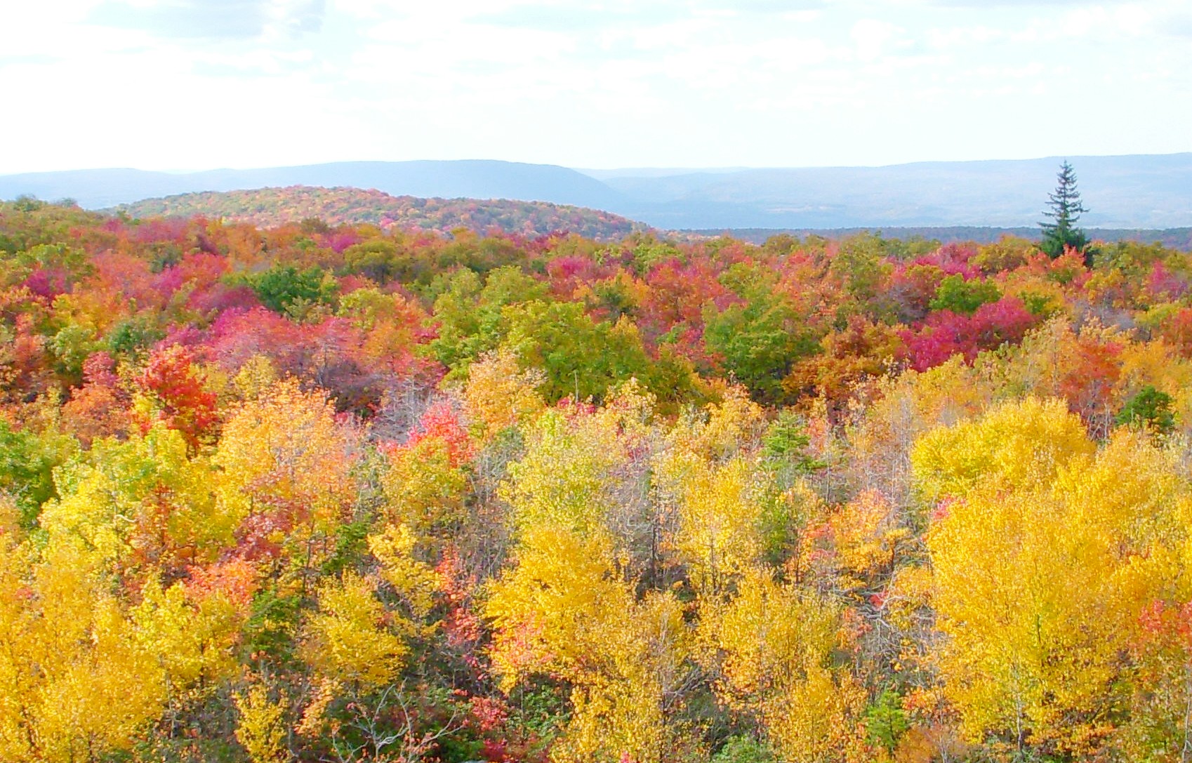
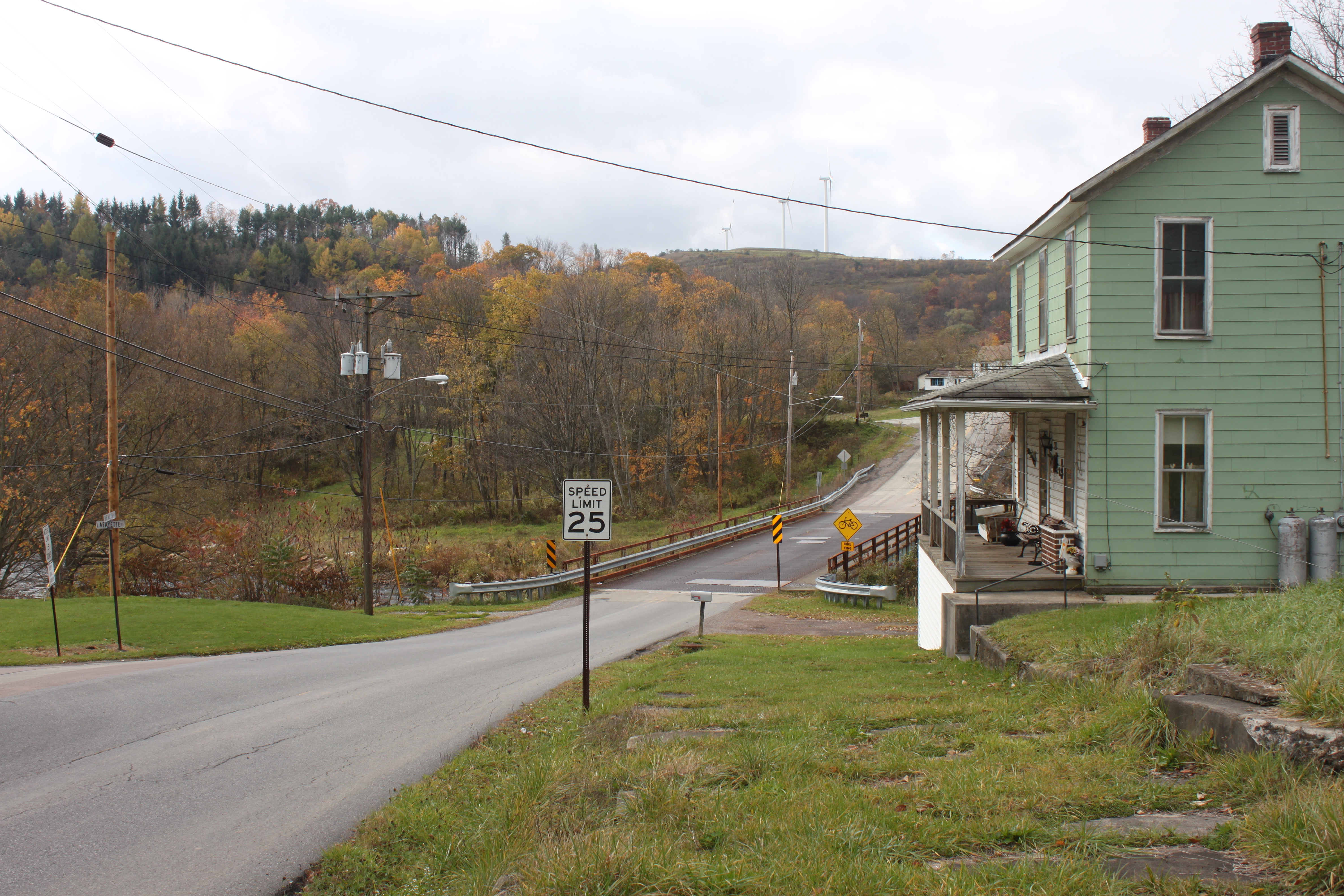
Quite The View
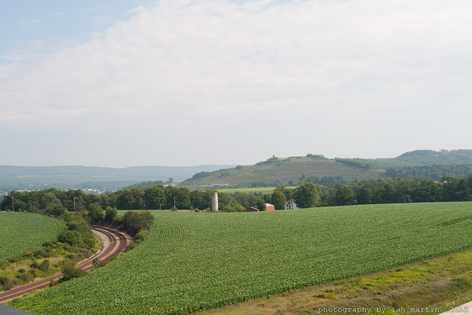
Salisbury View
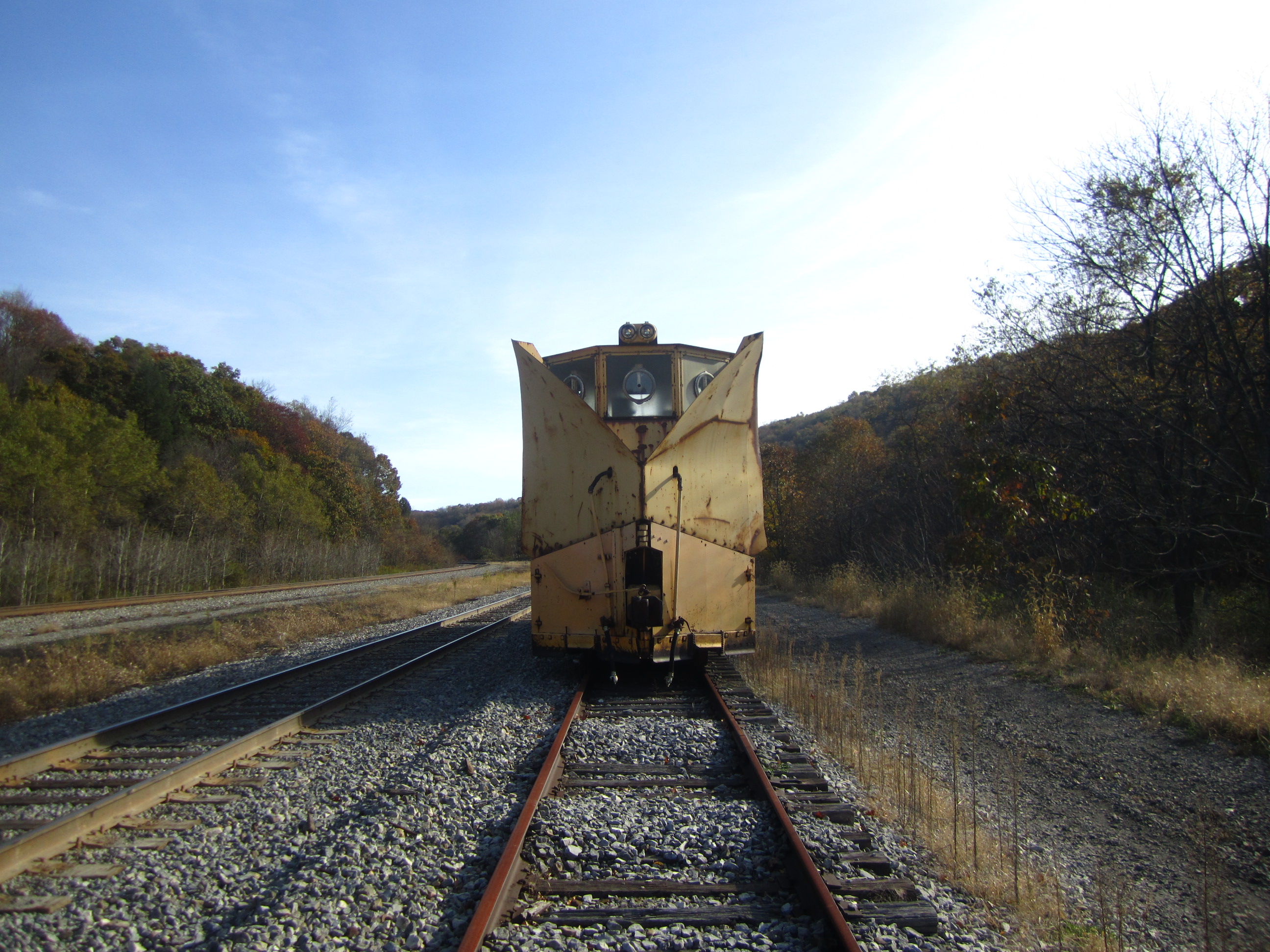
Snow pusher front view
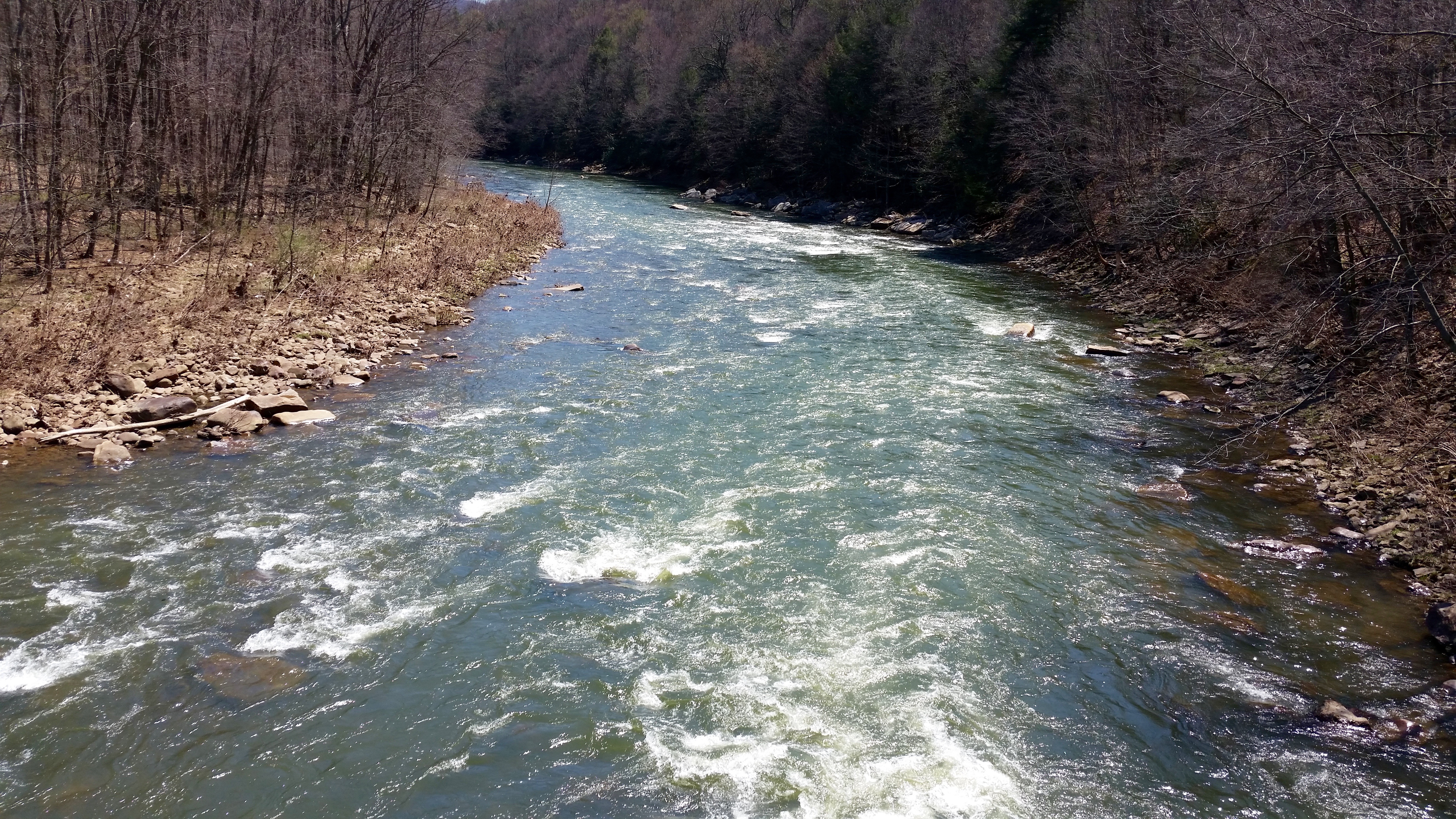
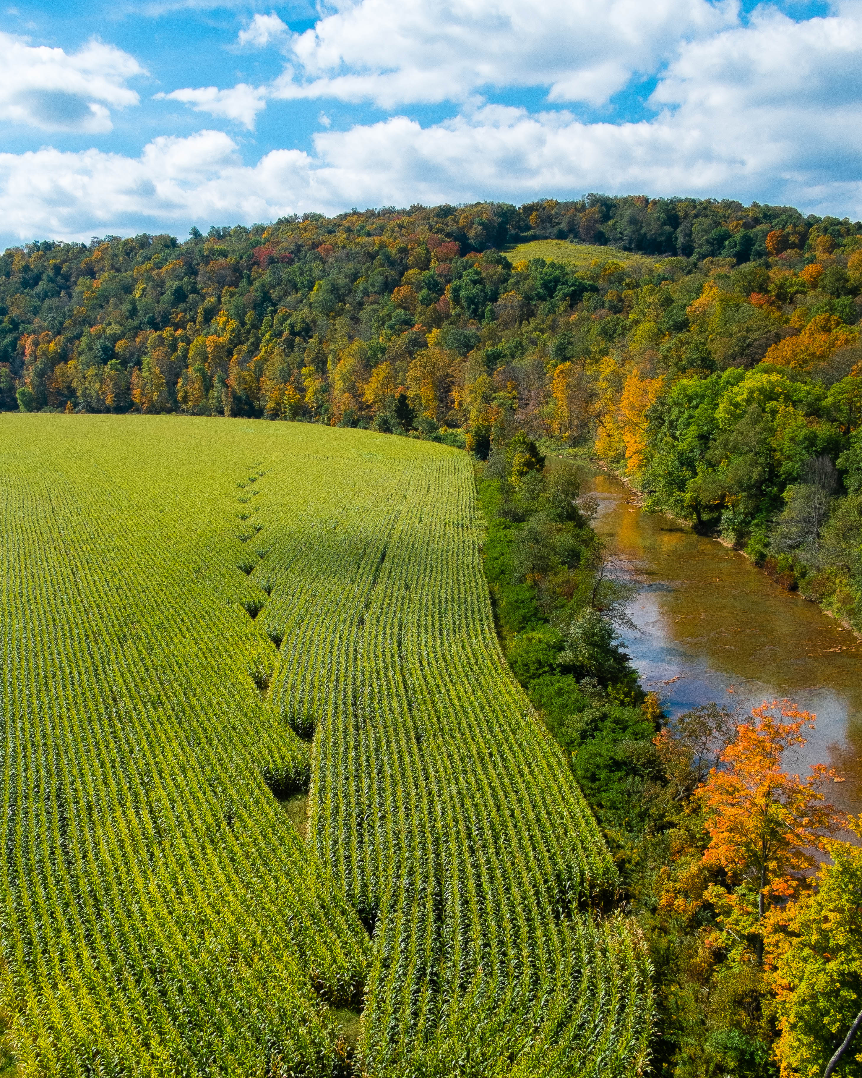
Casselman River
View From Mt. Davis
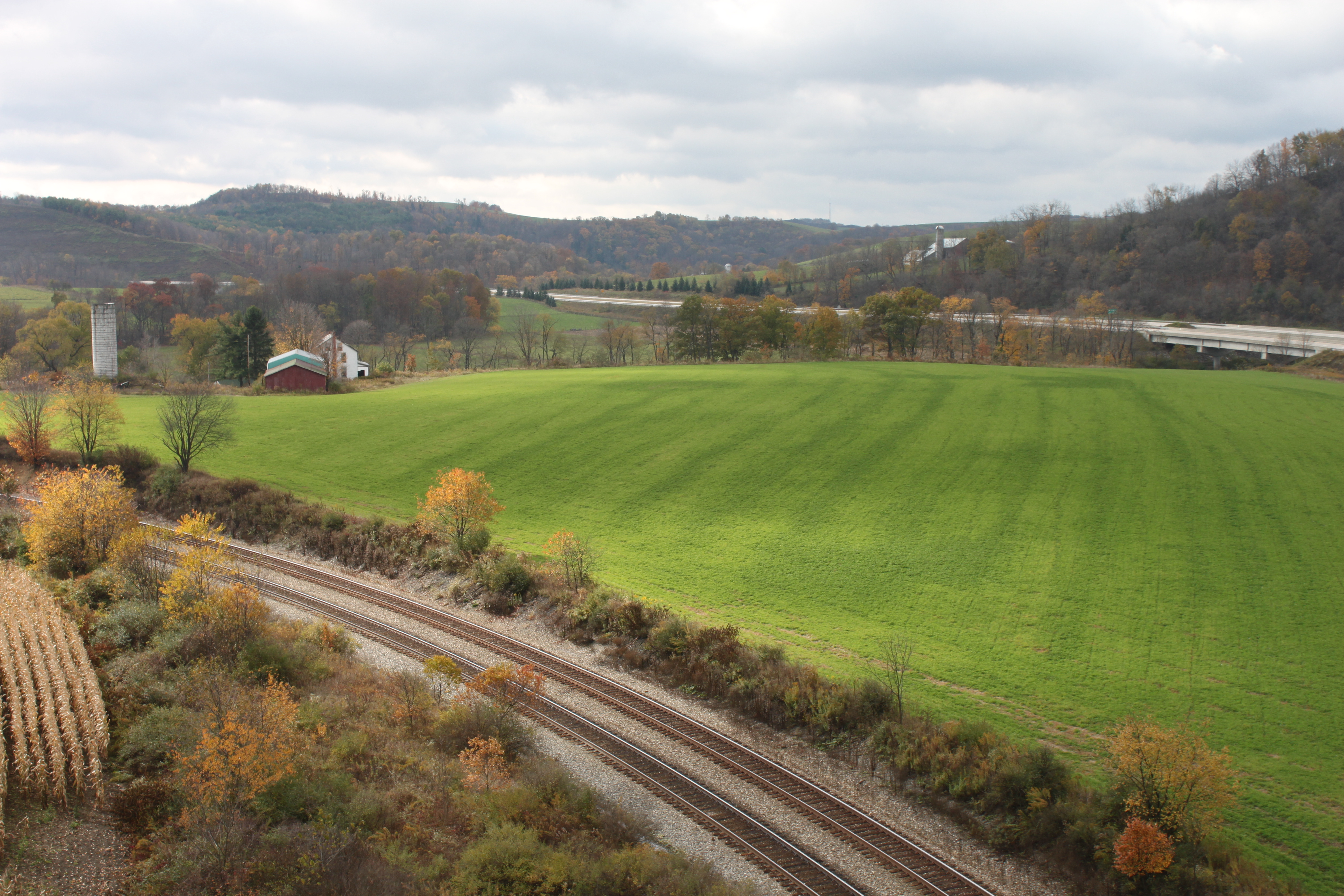
View from Salisbury Viaduct
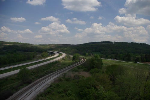
View From Salisbury Viaduct
Old Johnson Barn
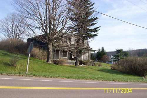
Thomas Johnson Farmhouse
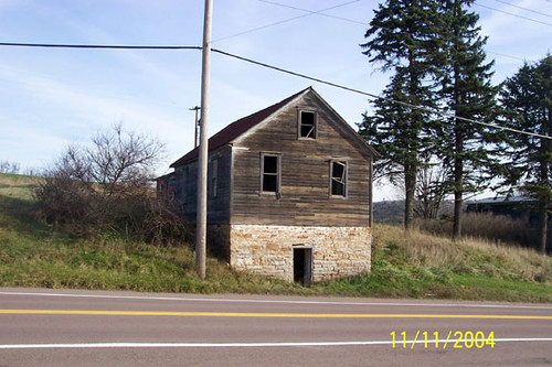
Thomas Johnson Shed
Viewed From Salisbury Viaduct
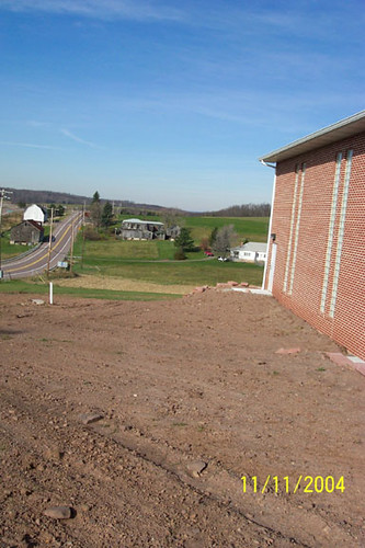
Westward View of the Johnson Farm Buildings

Q26114 - Meyersdale, PA

View SE from Mt. Davis Fire Tower

View east from Mt. Davis Fire Tower
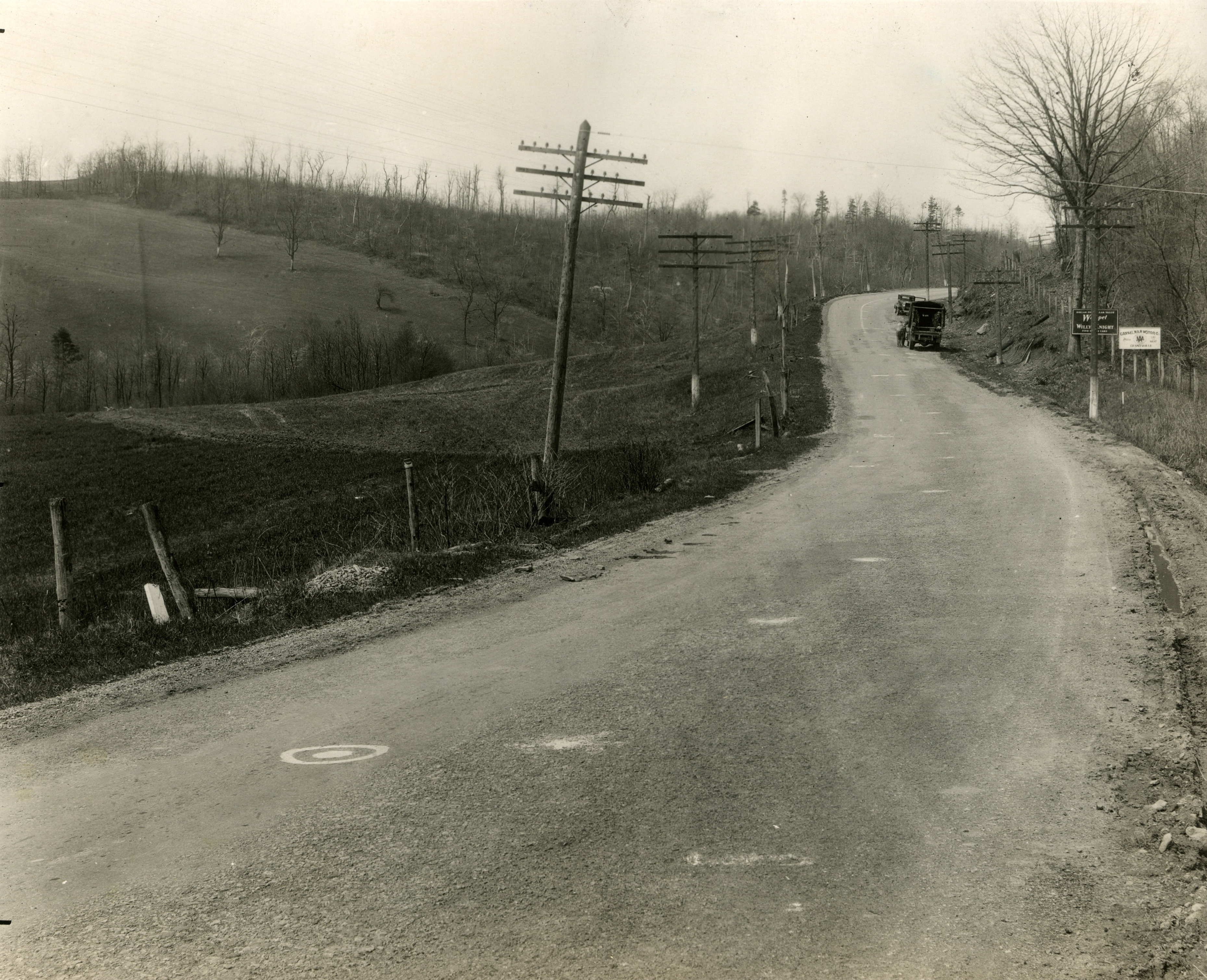
West approach to Casselman River Bridge
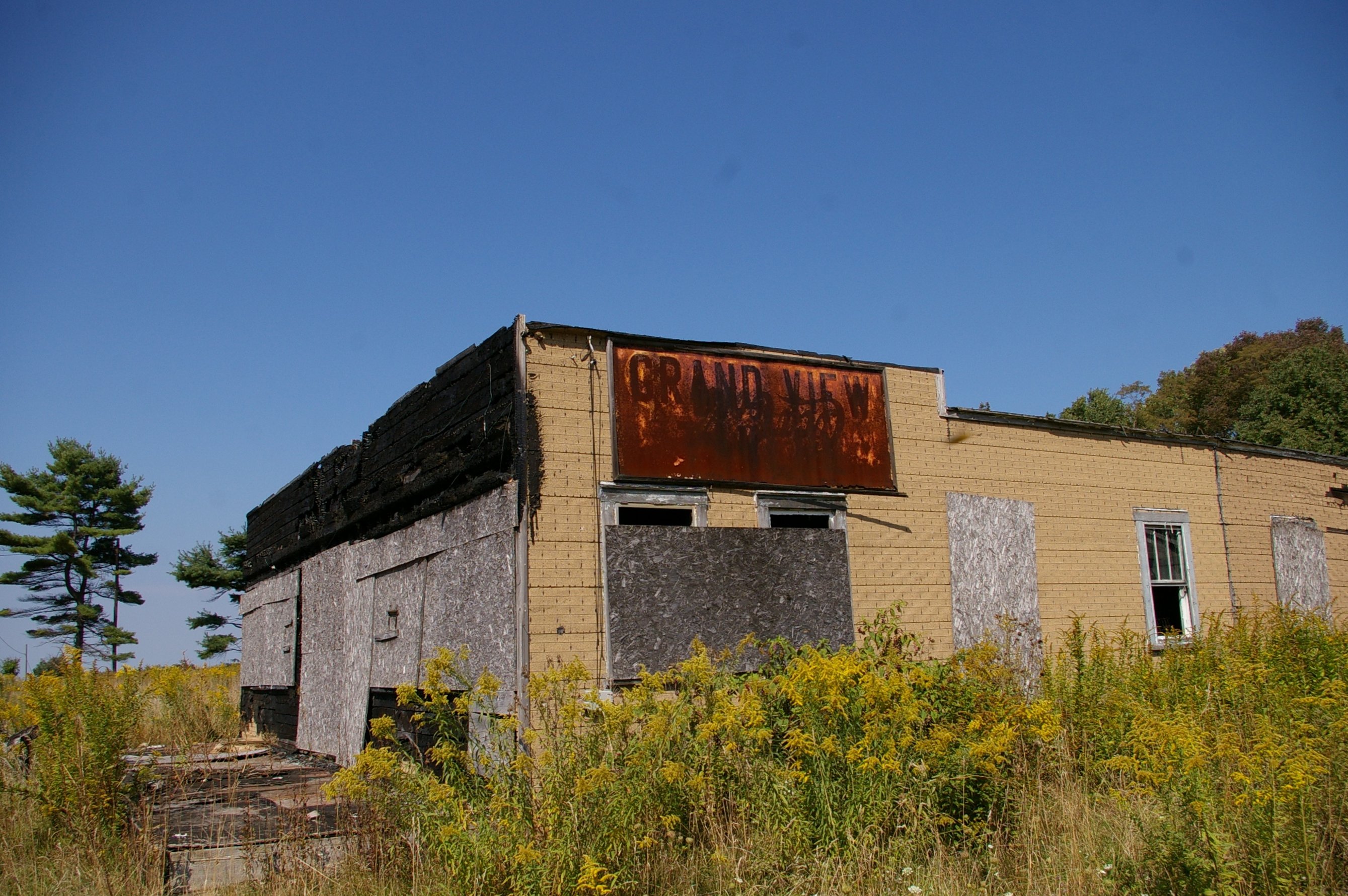
Grand View Tavern, Maryland
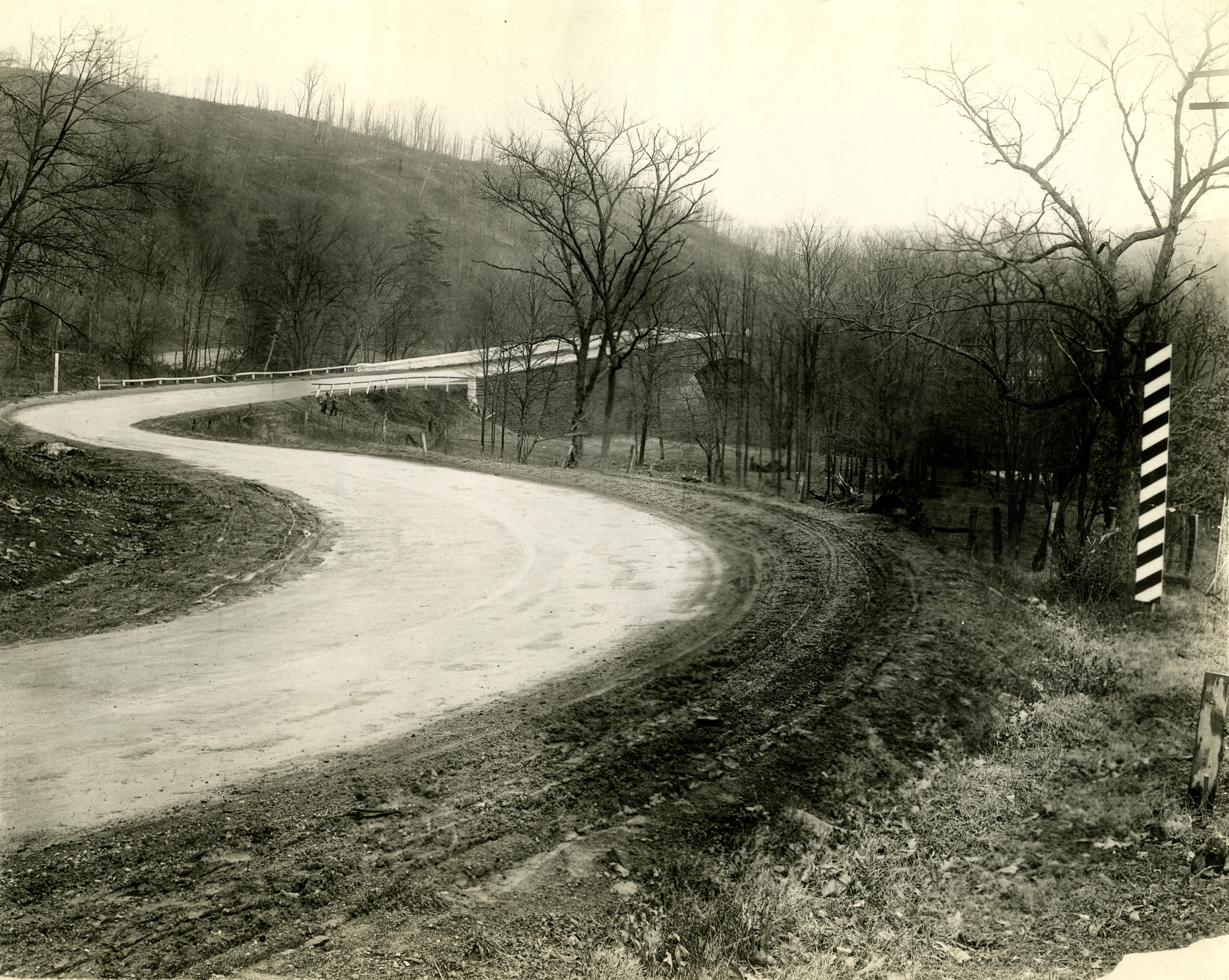
Just west of Turner’s Curve before grading
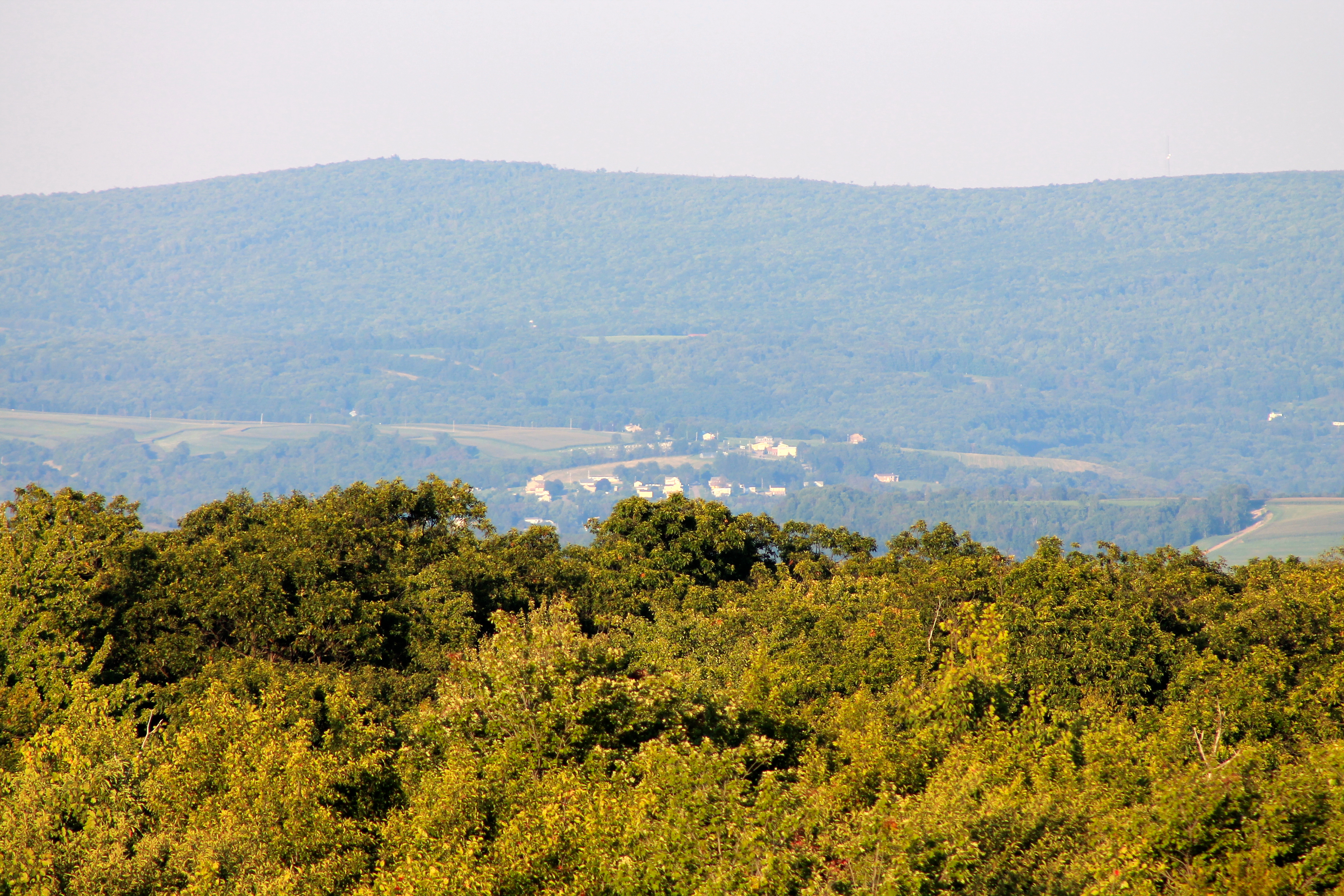
View NE from Mt. Davis Fire Tower

East approach to Casselman River Bridge
Garrett View

Finzel Swamp MD - 2013-09-20 (68)
20130929-XE1-0490

Finzel Swamp MD - 2013-09-20 (57)

fall fire

Finzel Swamp MD - 2013-09-20 (55)
2011-10-14 New Germany Park Camping 051
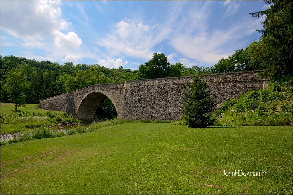
Casselman River Bridge
2011-10-14 New Germany Park Camping 015
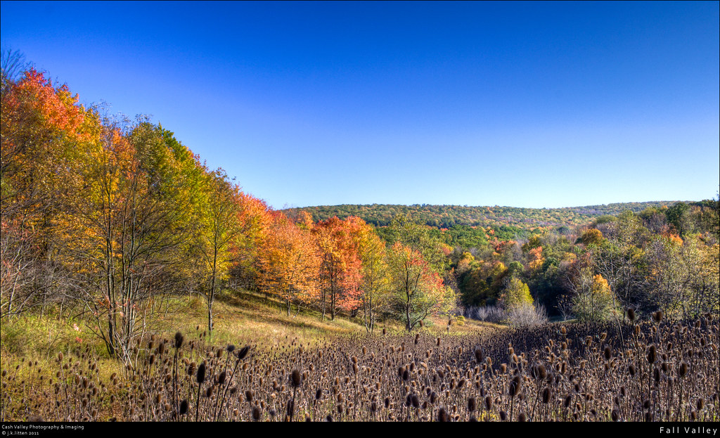
Fall Valley

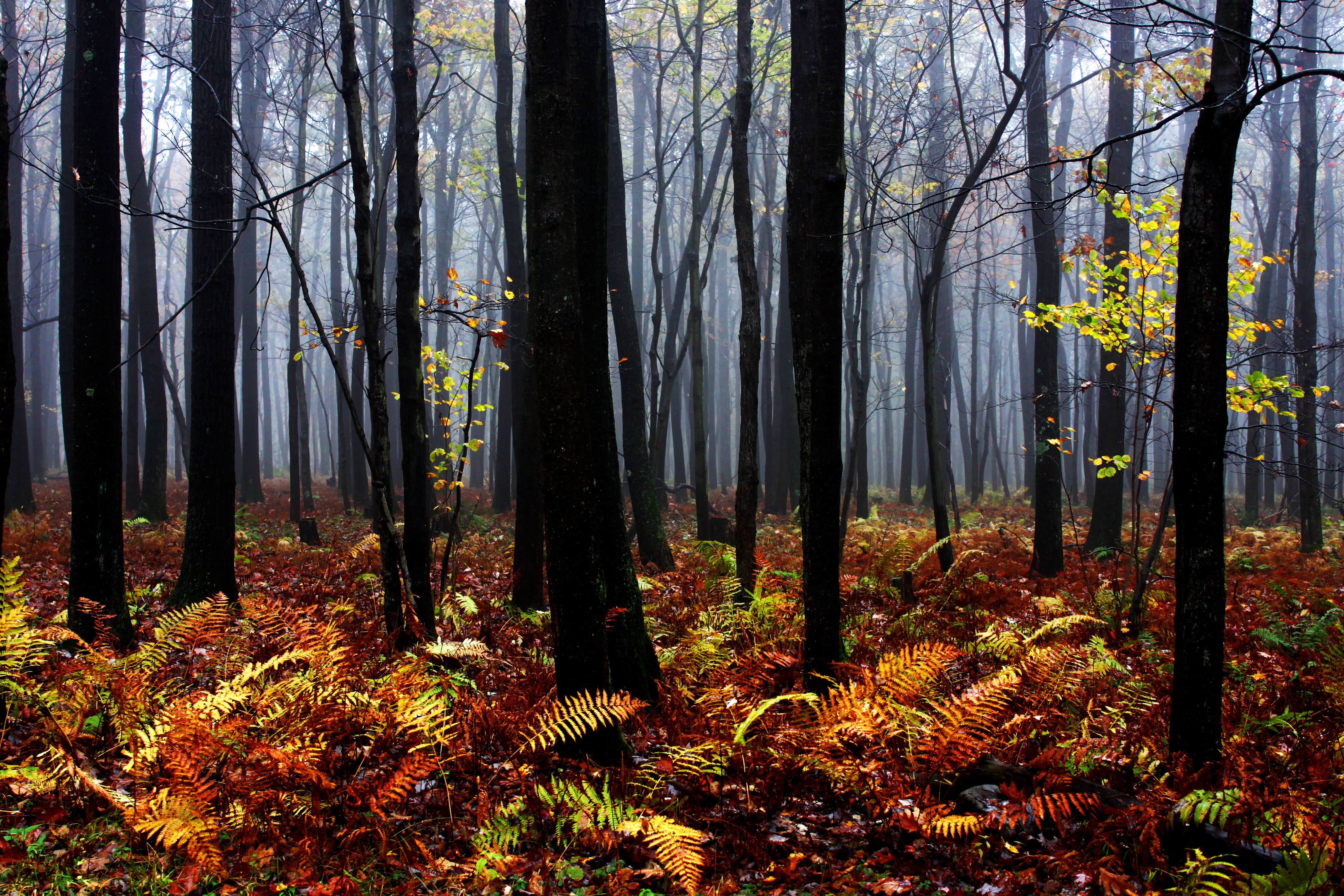
an autumn morning
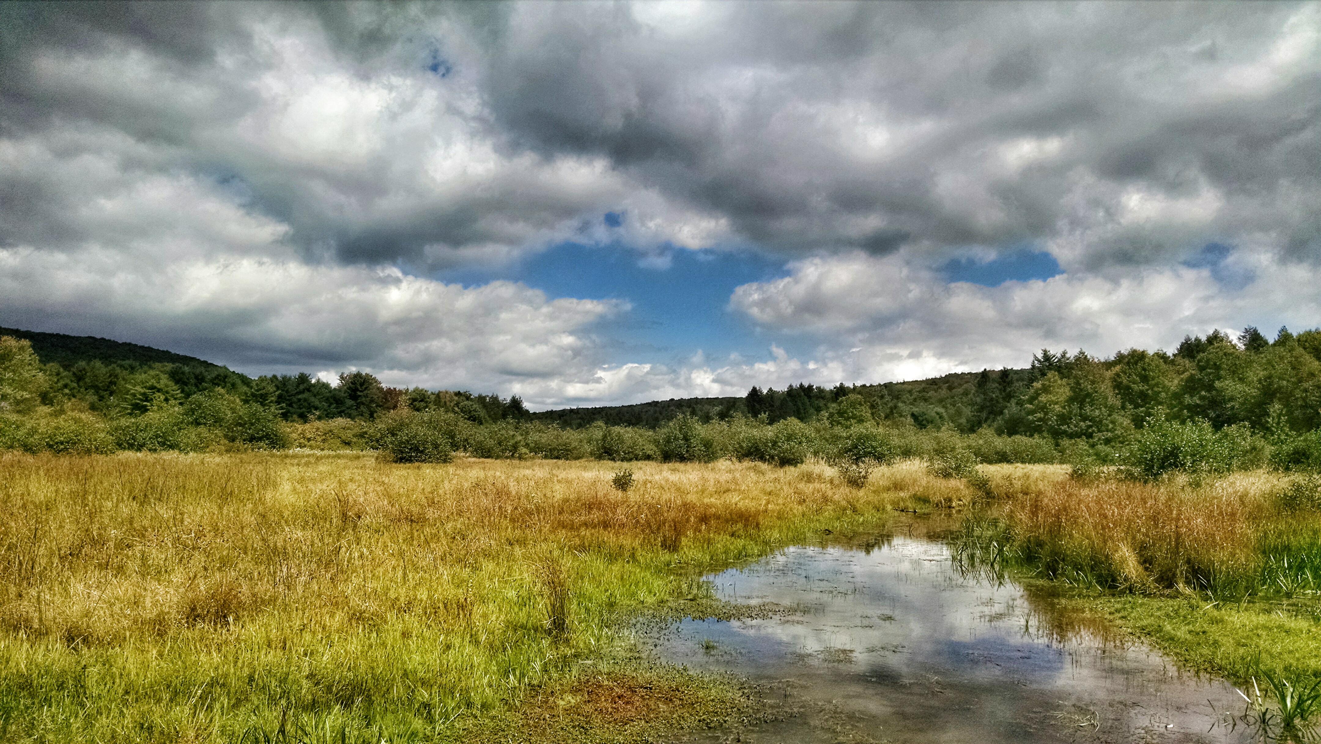
New Germany swamp
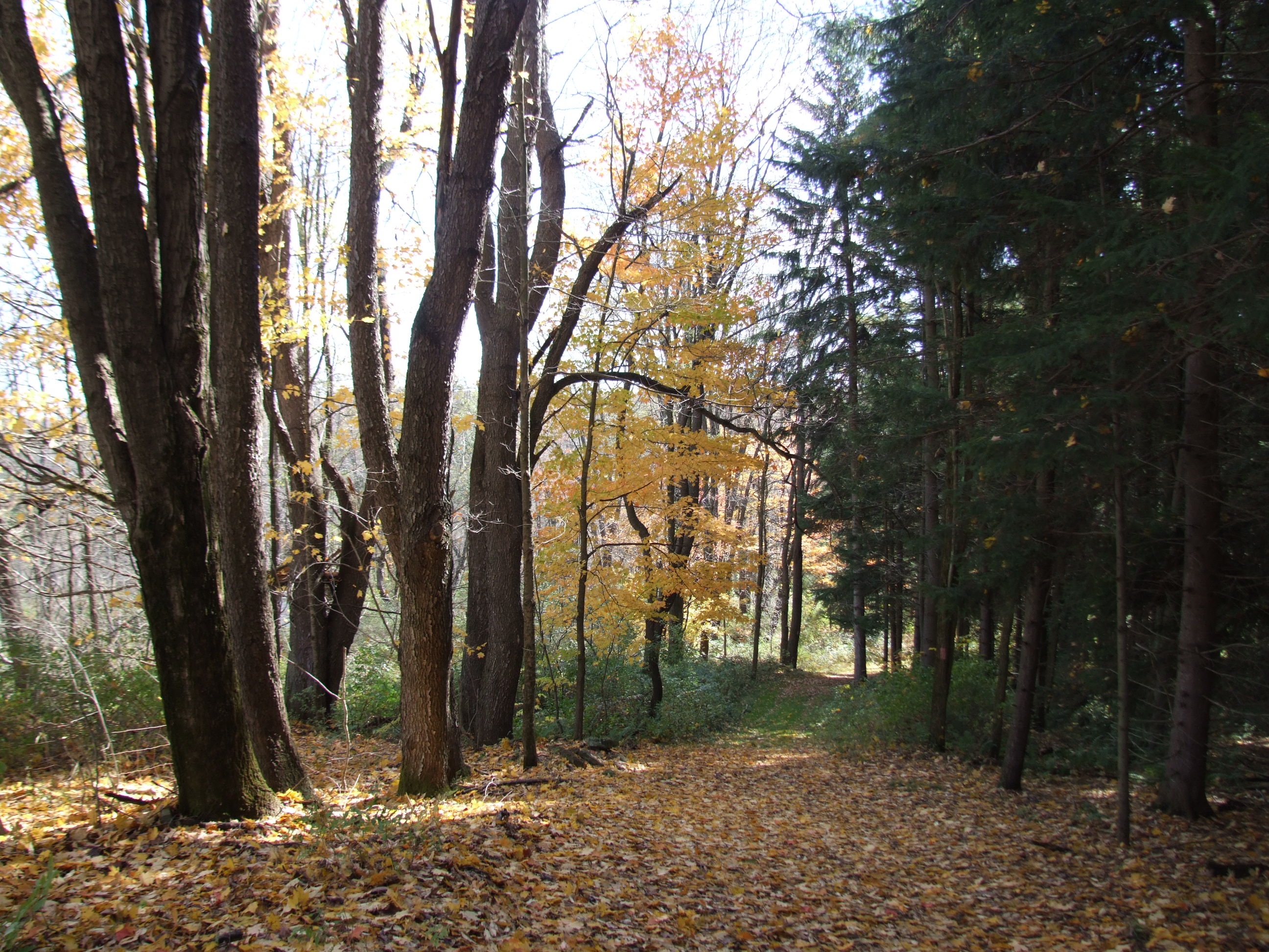
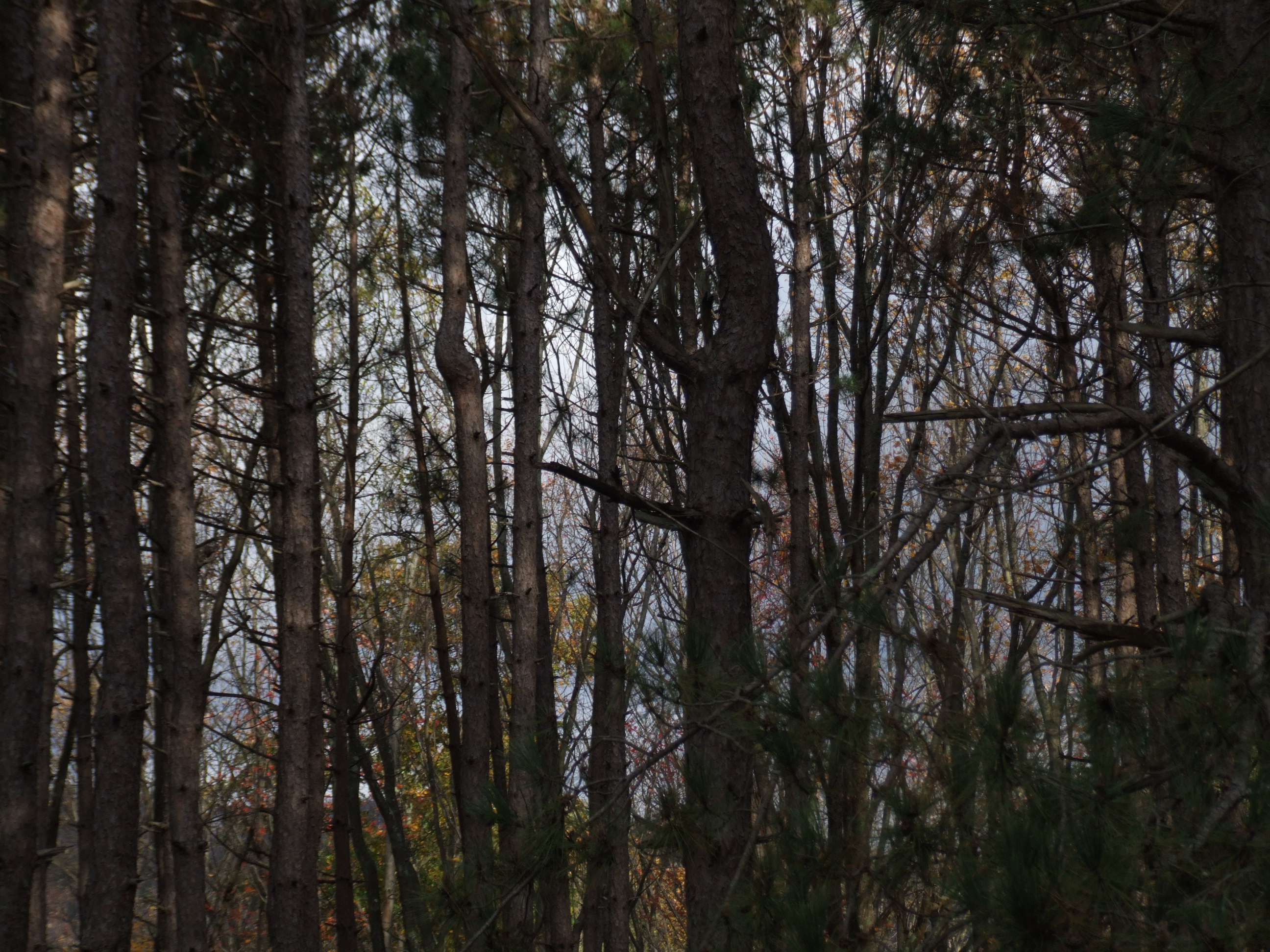
Mysterious Forest
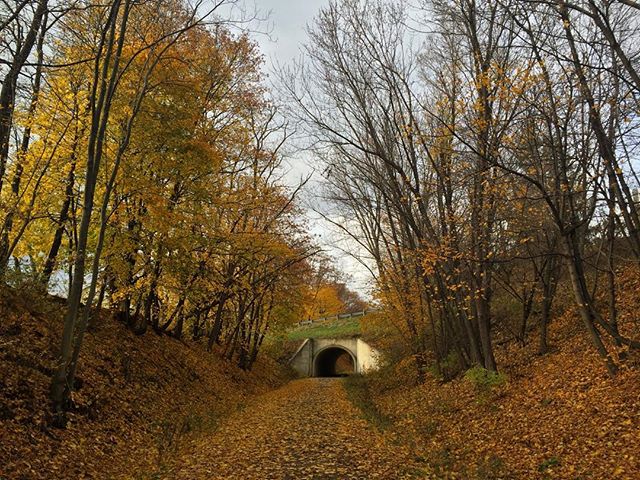
1113384612066830895_14429212120151109-3341-bnlxyh

CSX 6403 and 2229 (2)

Decaying farmhouse
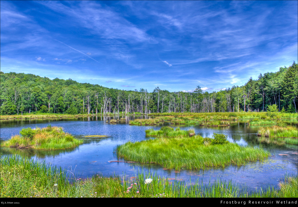
Frostburg Reservoir Wetland
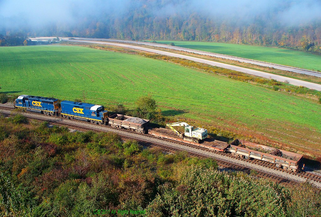
CSX 6403 and 2229 (1)
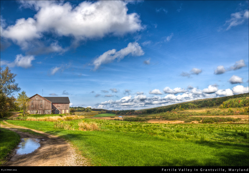
Fertile Valley In Grantsville, Maryland
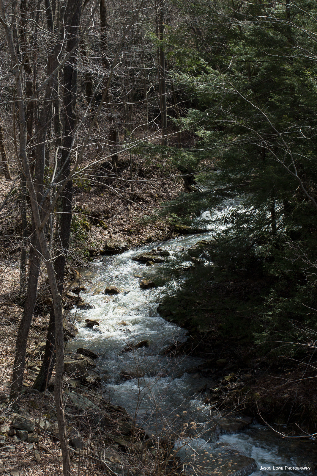
Fast Moving Water
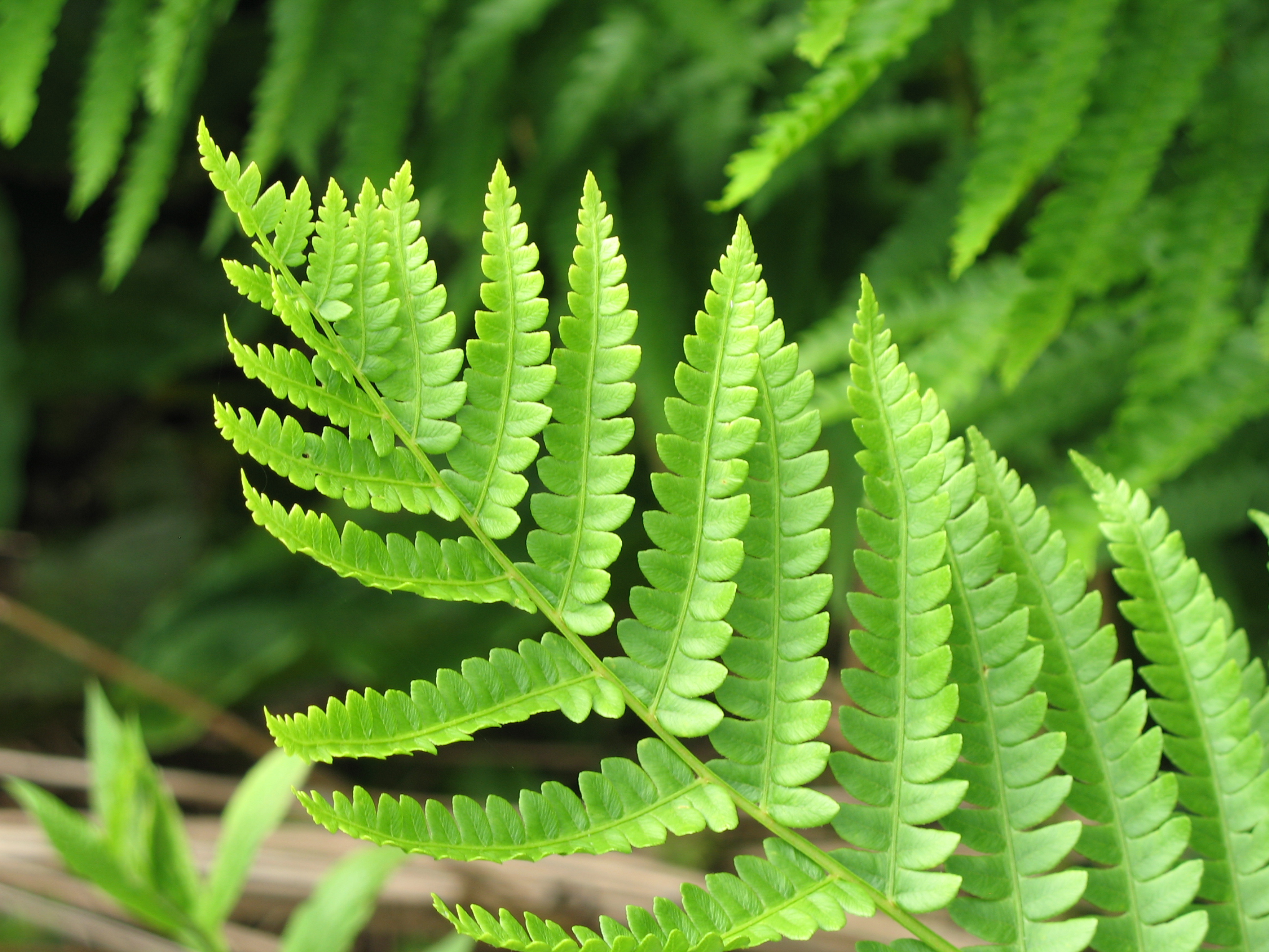
Cinnamon Fern - Osmunda cinnamomea
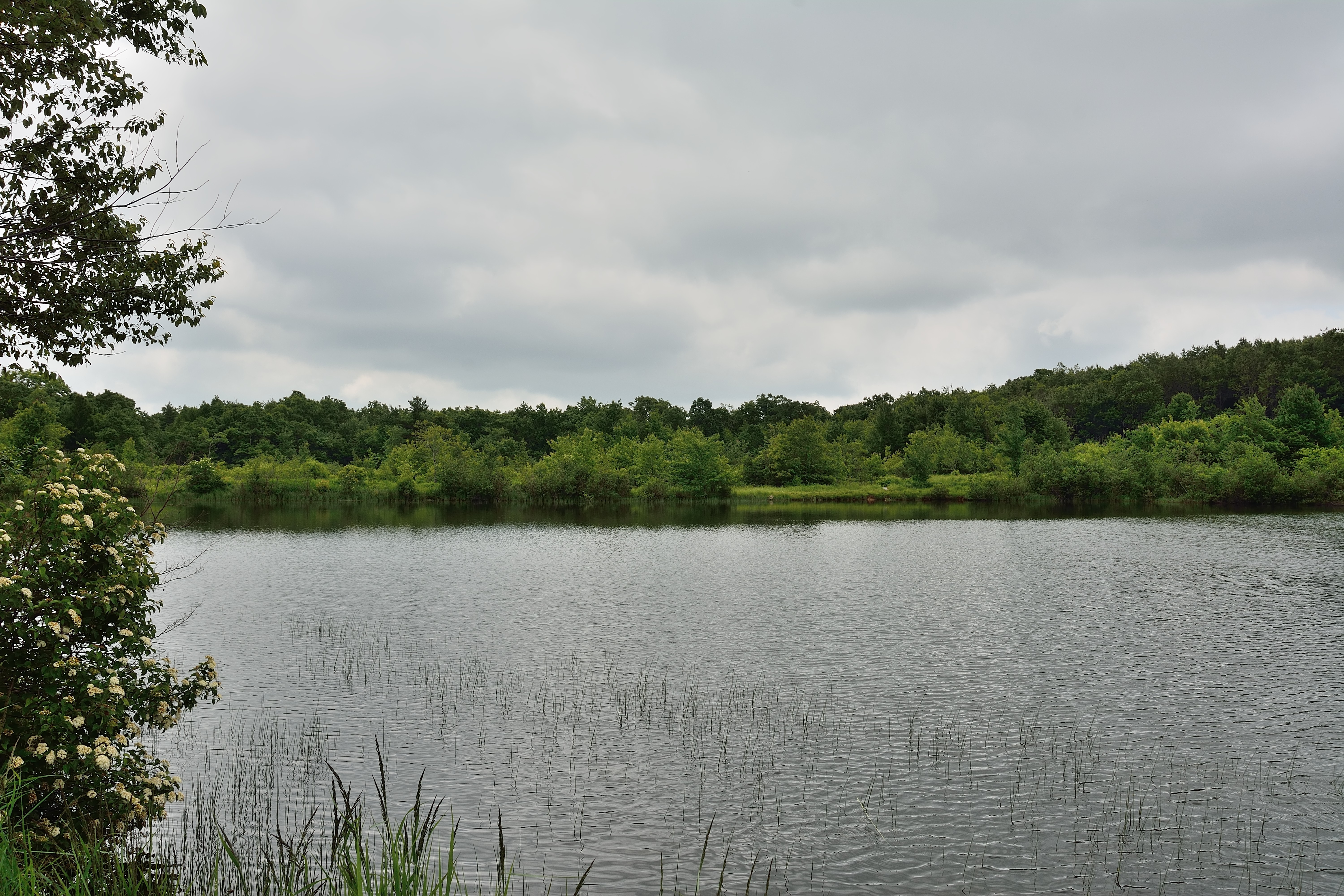
Pond at Finzel Swamp
Topographic Map of West Salisbury, PA, USA
Find elevation by address:

Places in West Salisbury, PA, USA:
Places near West Salisbury, PA, USA:
247 Ord St
Salisbury
Mount Davis Road
Romania Rd, Meyersdale, PA, USA
1349 Shaw Mines Rd
Mt Davis Rd, Meyersdale, PA, USA
Meyersdale
324 Meyers Ave
510 Main St
Summit Township
Meyersdale, PA, USA
Tulip Ln, Meyersdale, PA, USA
Berkleys Mill Rd, Meyersdale, PA, USA
487 Berkleys Mill Rd
Warrens Mill Rd, Meyersdale, PA, USA
Larimer Township
Brittany Ln, Meyersdale, PA, USA
Walker School Road
Eastern Continental Divide, Great Allegheny Passage
Brush Creek Rd, Meyersdale, PA, USA
Recent Searches:
- Elevation of Corso Fratelli Cairoli, 35, Macerata MC, Italy
- Elevation of Tallevast Rd, Sarasota, FL, USA
- Elevation of 4th St E, Sonoma, CA, USA
- Elevation of Black Hollow Rd, Pennsdale, PA, USA
- Elevation of Oakland Ave, Williamsport, PA, USA
- Elevation of Pedrógão Grande, Portugal
- Elevation of Klee Dr, Martinsburg, WV, USA
- Elevation of Via Roma, Pieranica CR, Italy
- Elevation of Tavkvetili Mountain, Georgia
- Elevation of Hartfords Bluff Cir, Mt Pleasant, SC, USA