Elevation of Somerset County, PA, USA
Location: United States > Pennsylvania >
Longitude: -78.928824
Latitude: 40.022493
Elevation: 719m / 2359feet
Barometric Pressure: 93KPa
Elevation Map:
Satellite Map:
Related Photos:

M 08 The Lagoon Nebula

Camp Allegheny

Mt. Ararat

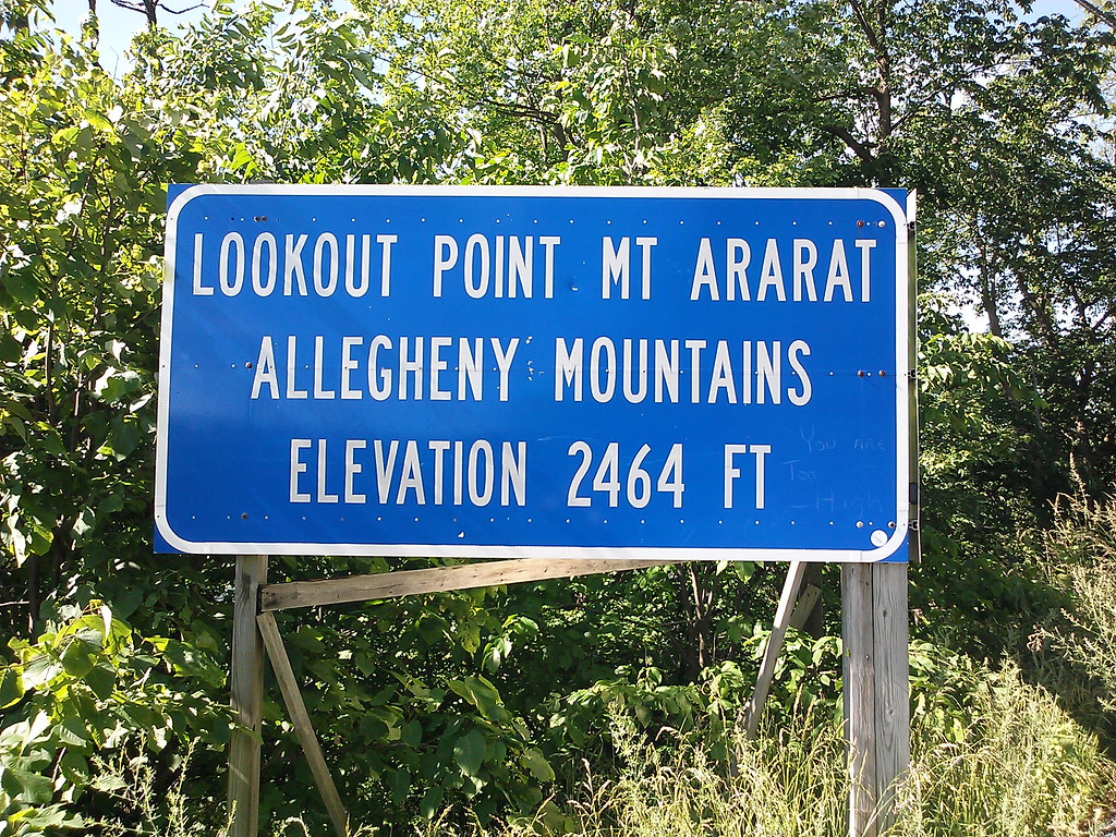
Jim at Lookout Point

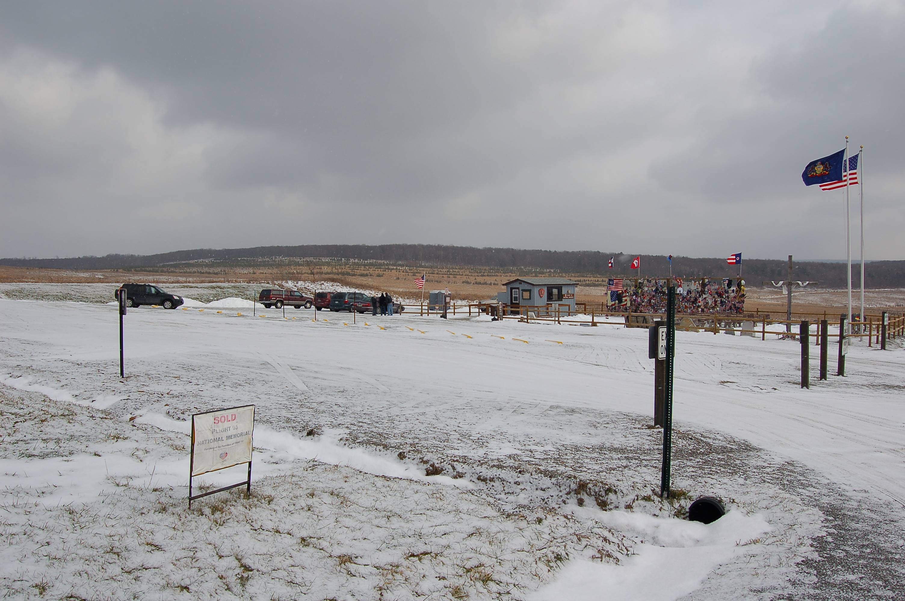
Flight 93 National Memorial PA - 2015-12-05 (10)

Quecreek Mine Rescue -- Somerset County, PA
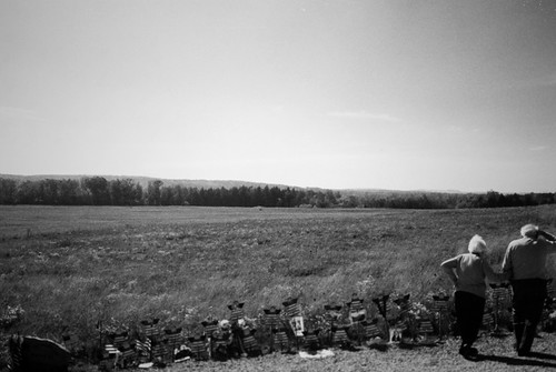
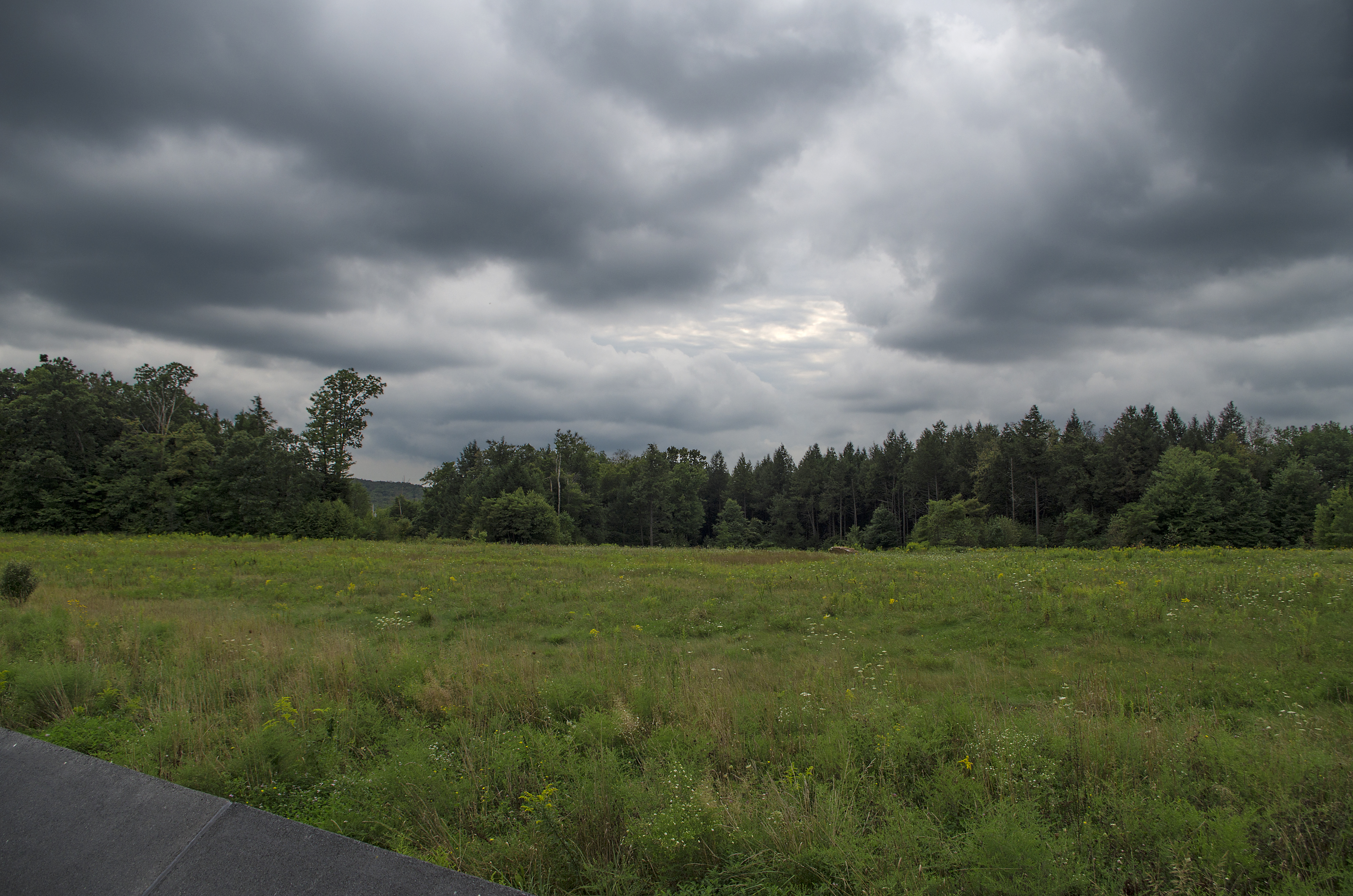
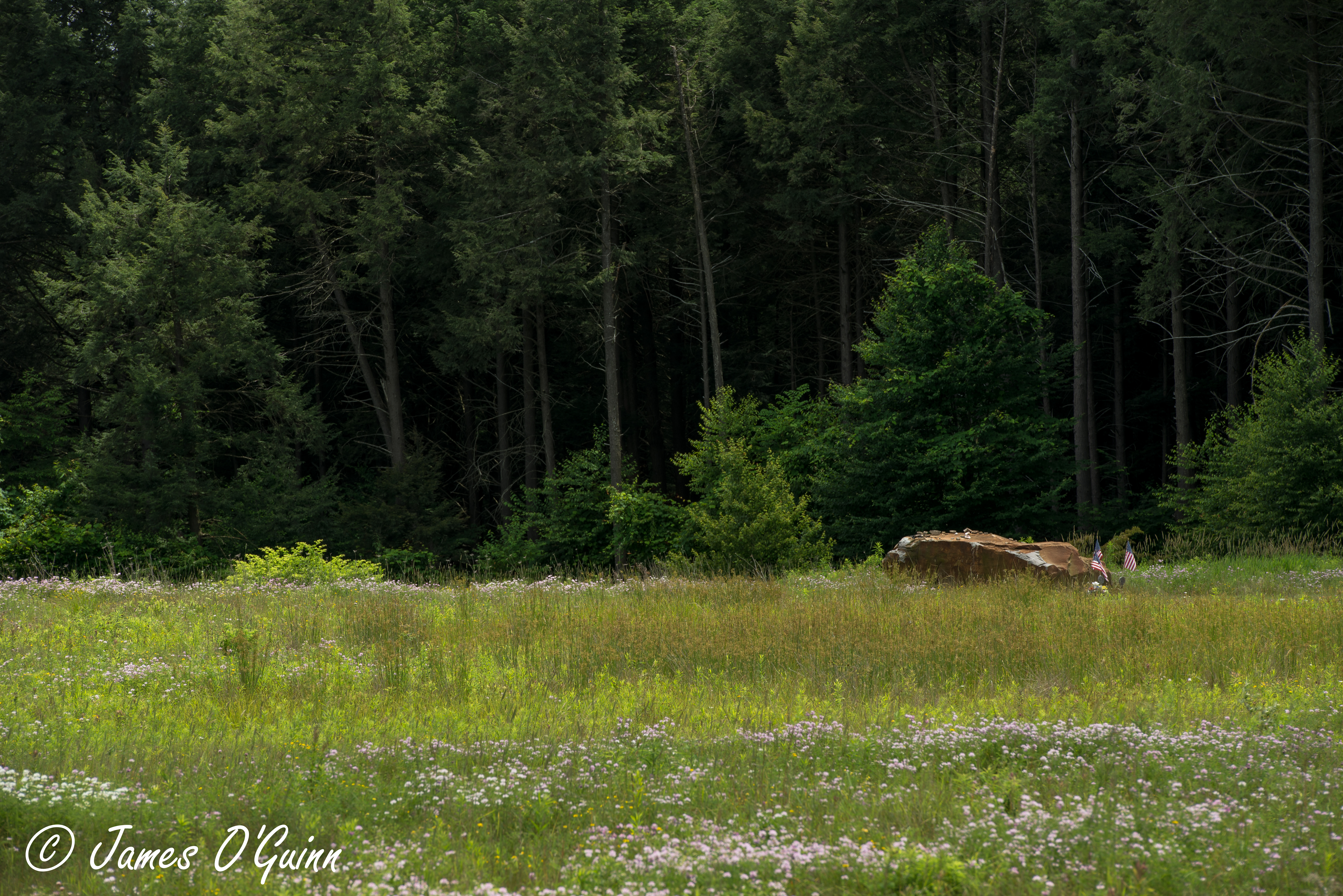
the field
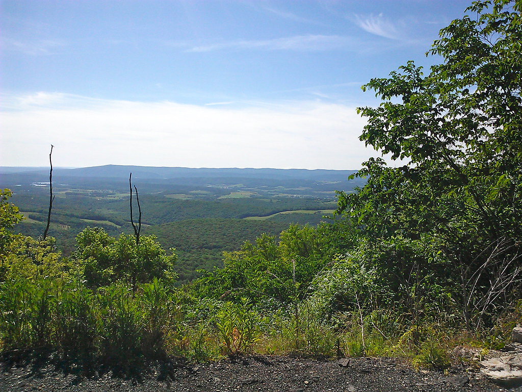
Mt Ararat Lookout Point
Mt Ararat Lookout Point
Mt Ararat Lookout Point

M 31 The Andromeda Galaxy
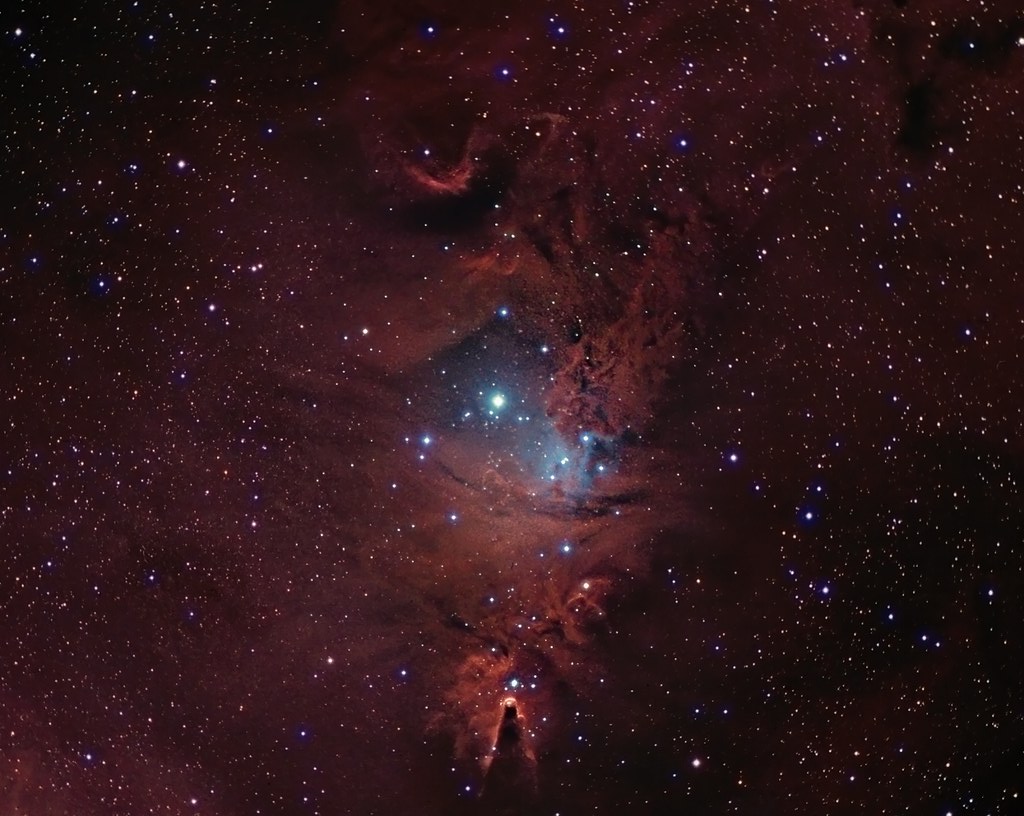
NGC 2264 CCD/DSLR Hybrid V2
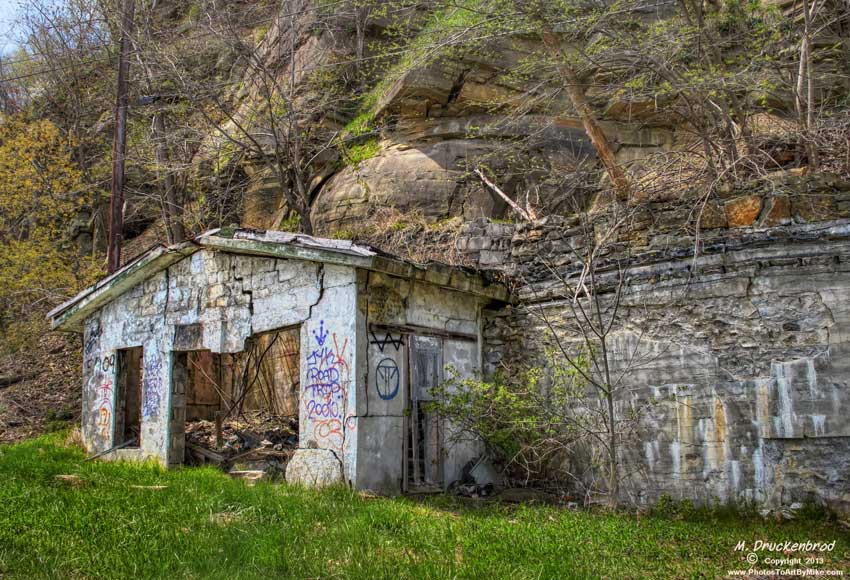
Grand View Point Service Station, Bedford Co. Pennsylvania

Another World
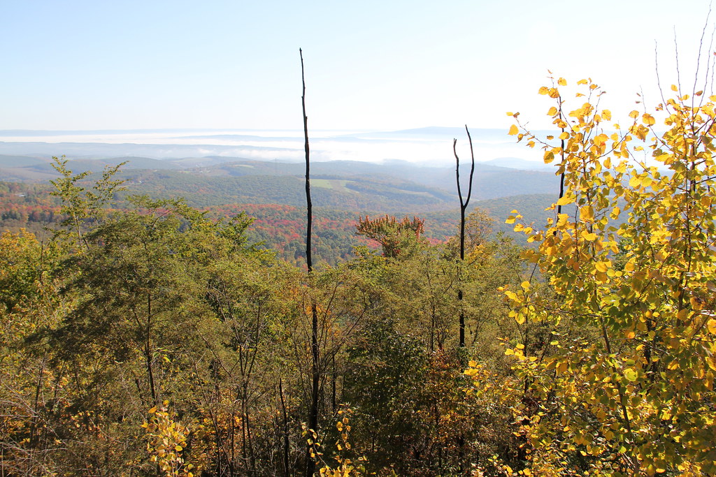
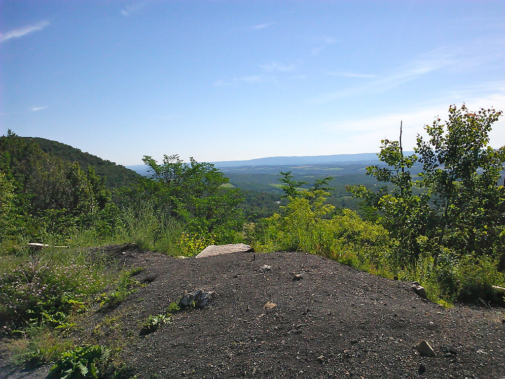
The View from Lookout Point on Mt. Ararat in the Allegheny Mountains

M31 FOV test

Flight 93 Memorial
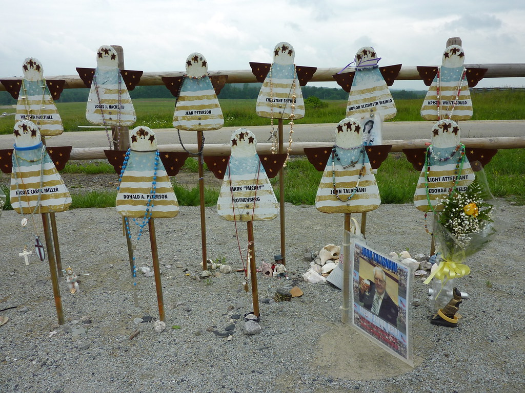
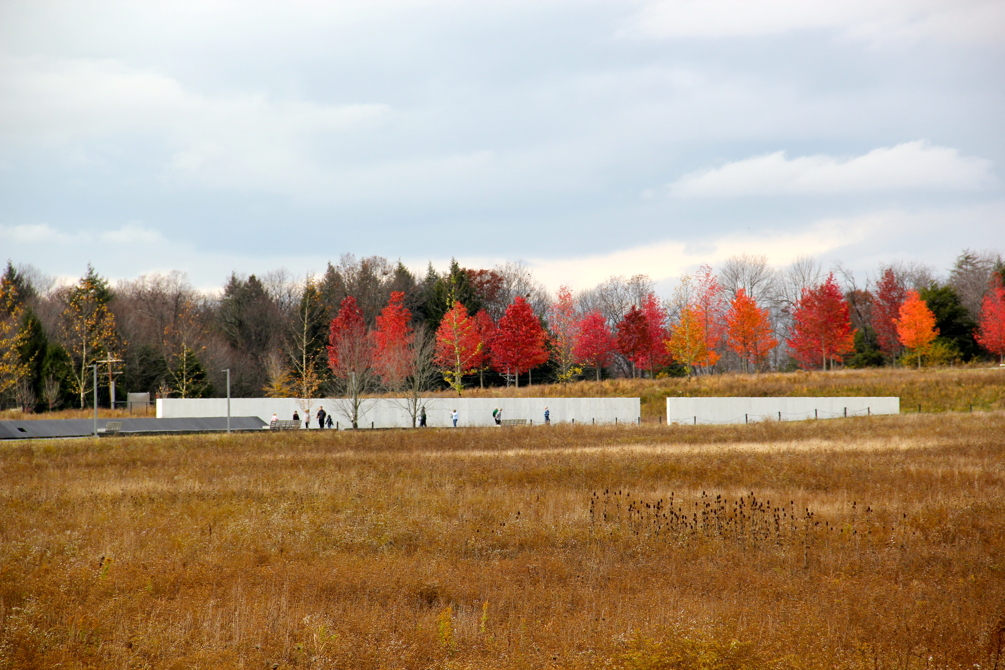
Memorial to the Victims of United Flight 93
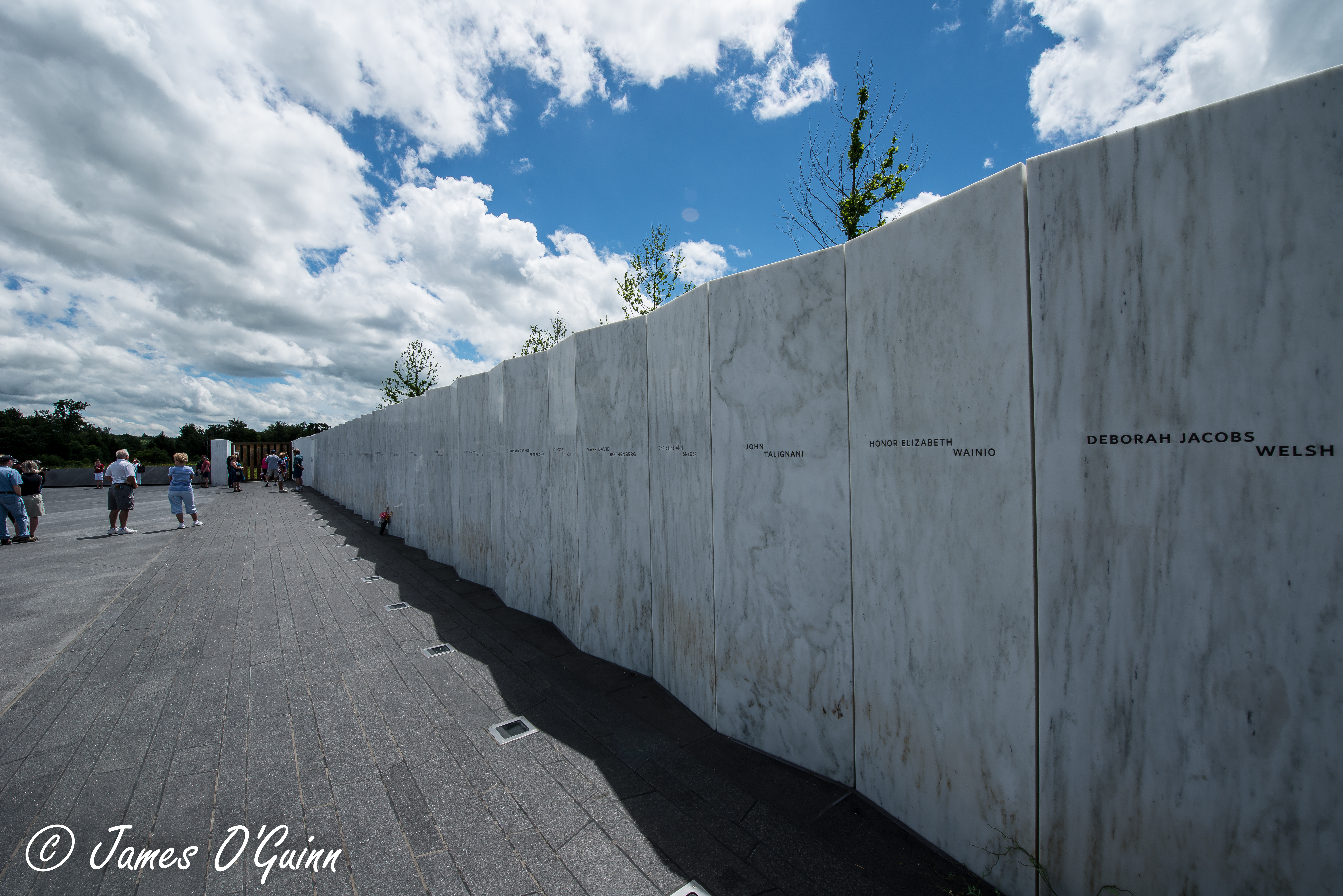
Flight 93 Memorial - Memorial Wall & Flight Path (2 of 3)

Flight 93 Memorial - Memorial Wall & Flight Path (1 of 3)

Grand View Point Service Station, Bedford Co. PA
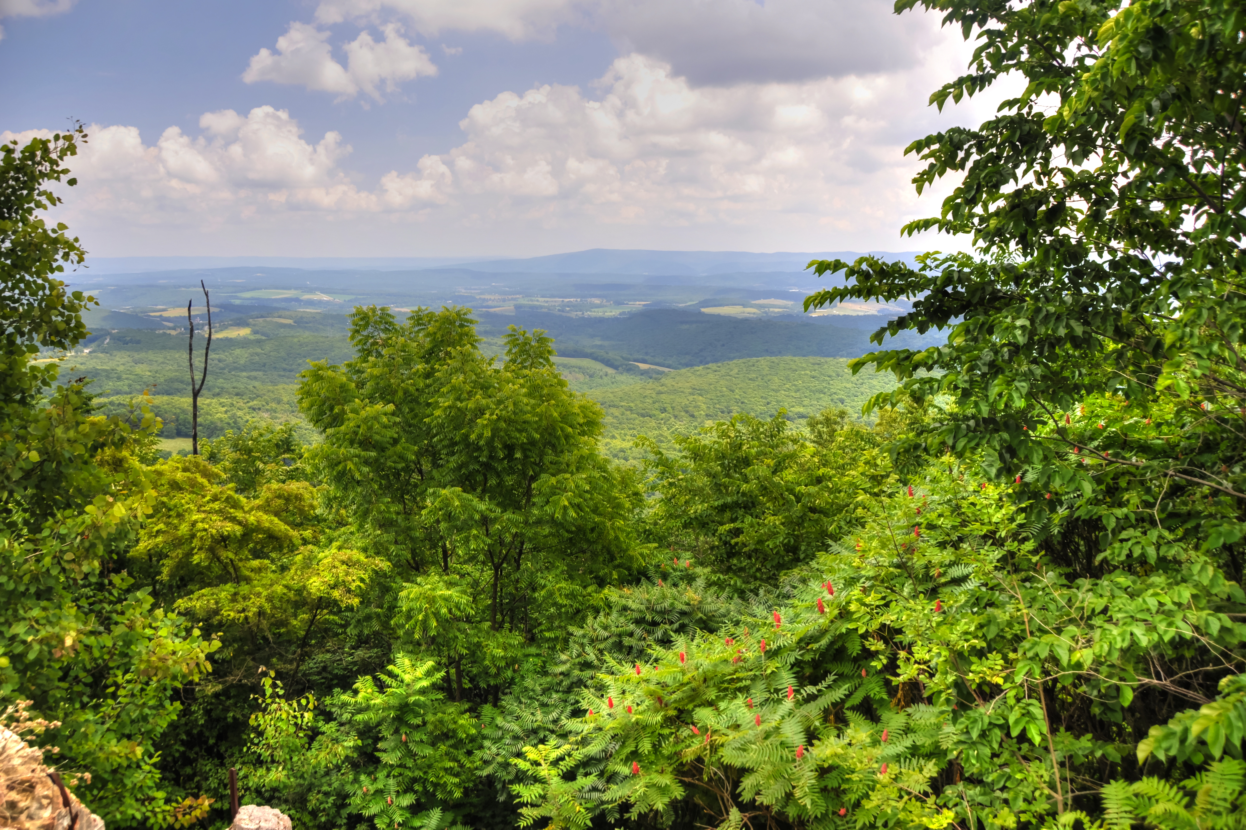
Lookout Point, Allegheny Mountains, Pennsylvania
Night Wind

Wind turbines
Changing of the Seasons
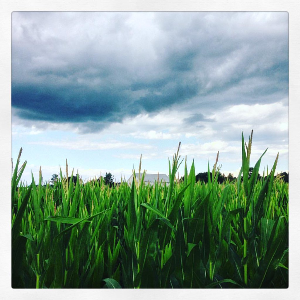
#field #clouds #corn #pennsylvaniaturnpike #latergram

Windmill on Land 93

PA Turnpike
DSC_2131.JPG
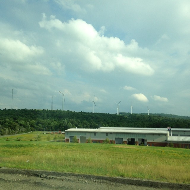
#windmills #pennsylvania

Water element

Flight 93 Memorial

Let's Roll

NYC Spring 2012
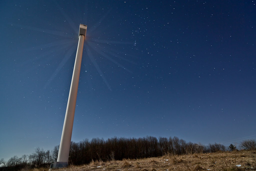
Night Wind

NYC Spring 2012
Flight 93 Memorial
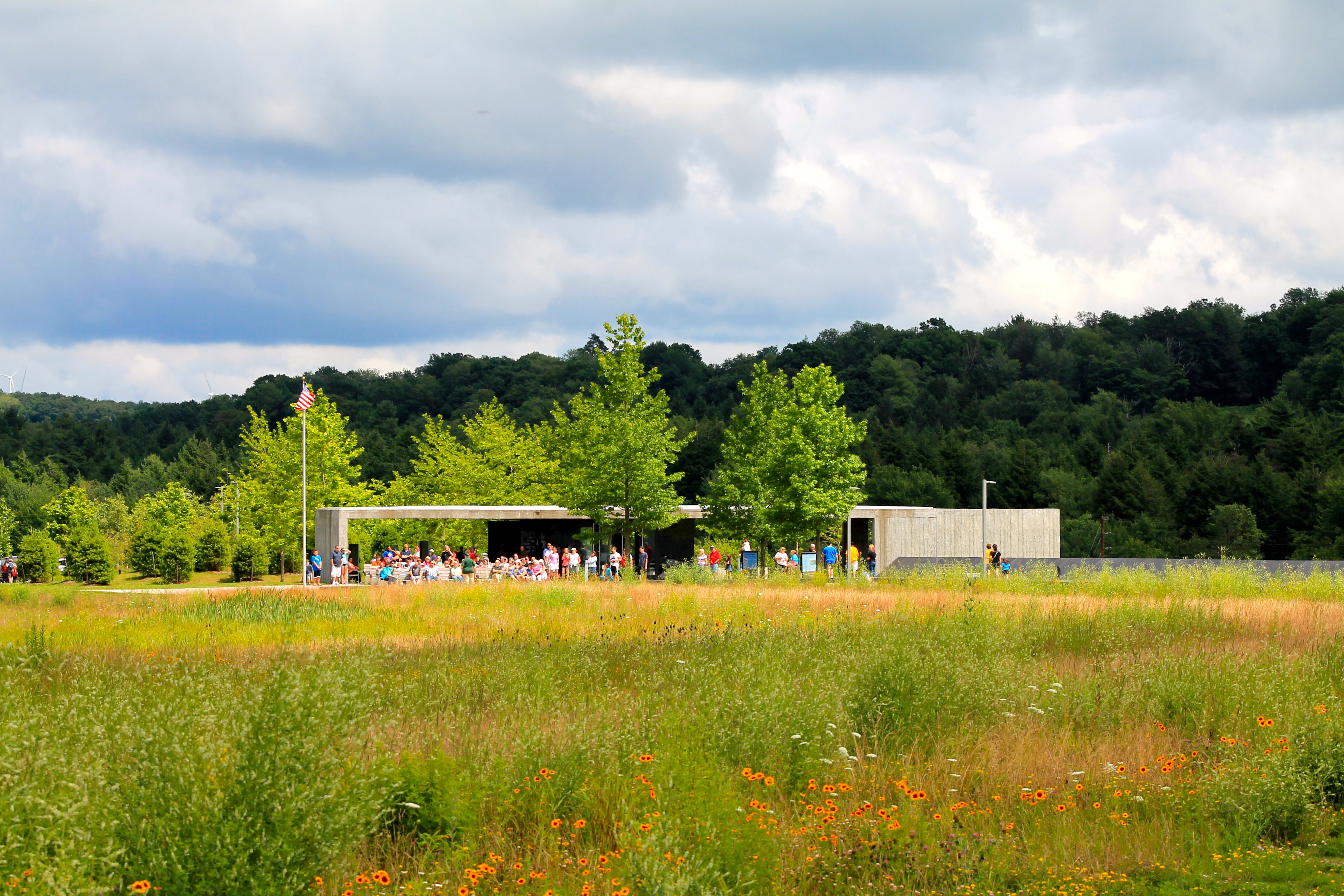
Flight 93 National Memorial
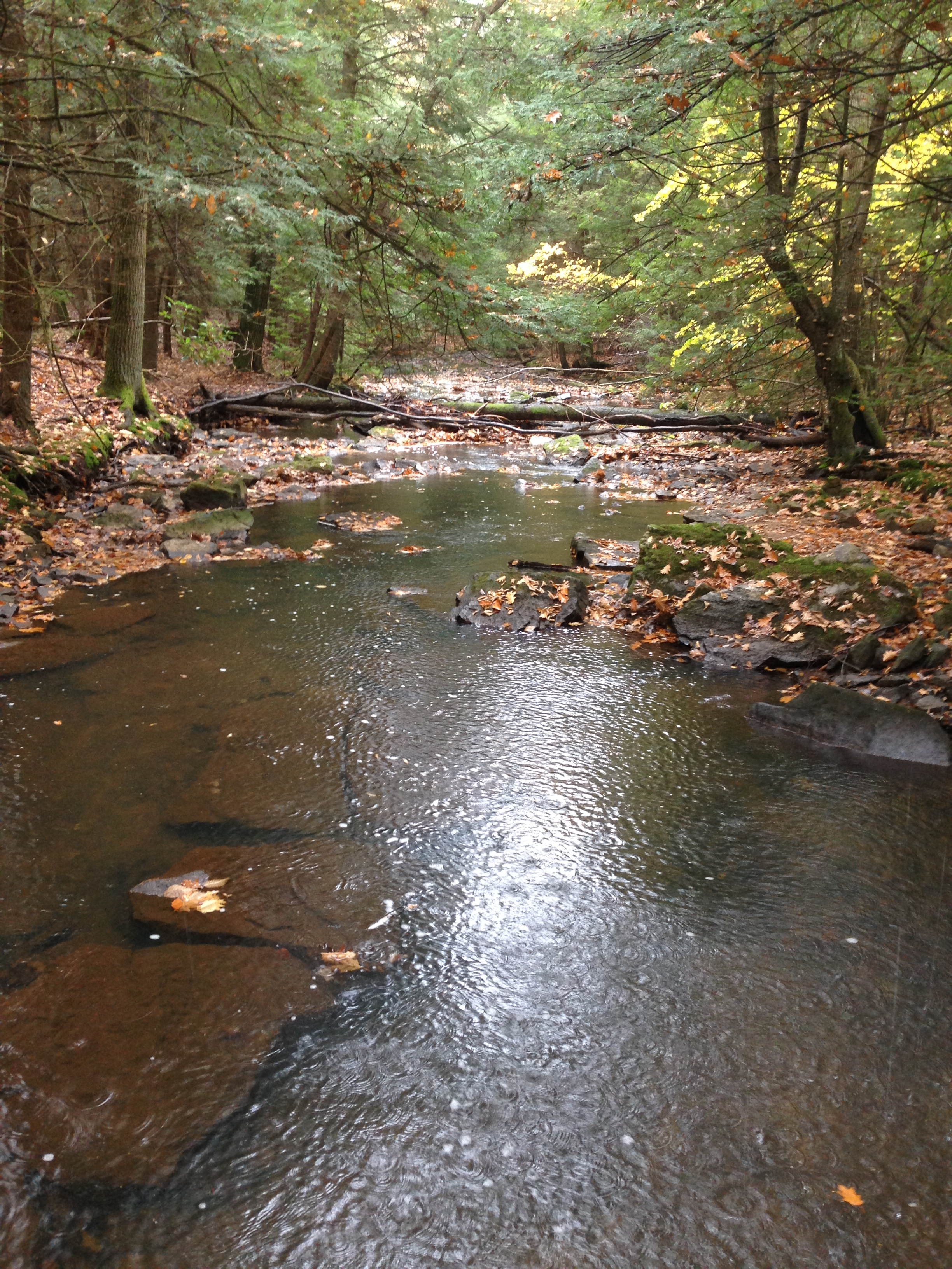
Kimberly Run Natural Area

NYC Spring 2012
Memorial Plaza lookout
Flight 93 National Memorial - Crash Site
Topographic Map of Somerset County, PA, USA
Find elevation by address:

Places in Somerset County, PA, USA:
Summit Township
Addison Township
Somerset Township
Middlecreek Township
Shade Township
Elk Lick Township
Stonycreek Township
Hollsopple
Salisbury
Somerset
Northampton Township
Berlin
Fort Hill
Lincoln Township
Larimer Township
Casselman
Black Township
Jefferson Township
Jenner Township
Windber
Quemahoning Township
Milford Township
Boswell
Paint Township
Cumberland Hwy, Berlin, PA, USA
Draketown Rd, Confluence, PA, USA
Addison Township
Addison Township
Addison Township
Addison Township
E Mineral St, Wellersburg, PA, USA
Morning Land Dr, Windber, PA, USA
Warrens Mill Rd, Meyersdale, PA, USA
Phillips St, Jerome, PA, USA
Tire Hill Rd, Johnstown, PA, USA
Seven Springs
Ogle Township
Stoystown
Fairhope Township
Central City
Southampton Township
Brothersvalley Township
Conemaugh Township
Upper Turkeyfoot Township
Lower Turkeyfoot Township
Places near Somerset County, PA, USA:
1414 Sheep Ridge Rd
1571 Sheep Ridge Rd
Cemetery Rd, Stoystown, PA, USA
Stonycreek Township
Royal Ridge Rd, Friedens, PA, USA
158 Expresso Ln
2264 Corner Stone Rd
S Main St, Friedens, PA, USA
Friedens
Camp Allegheny
Wills Church Rd, Somerset, PA, USA
218 Archery Rd
Maple Street
G I Walker Road
758 Stewart St
1217 Stadium St
727 North St
420 Division St
Berlin
Main St, Berlin, PA, USA
Recent Searches:
- Elevation of Corso Fratelli Cairoli, 35, Macerata MC, Italy
- Elevation of Tallevast Rd, Sarasota, FL, USA
- Elevation of 4th St E, Sonoma, CA, USA
- Elevation of Black Hollow Rd, Pennsdale, PA, USA
- Elevation of Oakland Ave, Williamsport, PA, USA
- Elevation of Pedrógão Grande, Portugal
- Elevation of Klee Dr, Martinsburg, WV, USA
- Elevation of Via Roma, Pieranica CR, Italy
- Elevation of Tavkvetili Mountain, Georgia
- Elevation of Hartfords Bluff Cir, Mt Pleasant, SC, USA